3D Terrain of Continental USA Plus Alaska and Hawaii (CONUS NAIP)
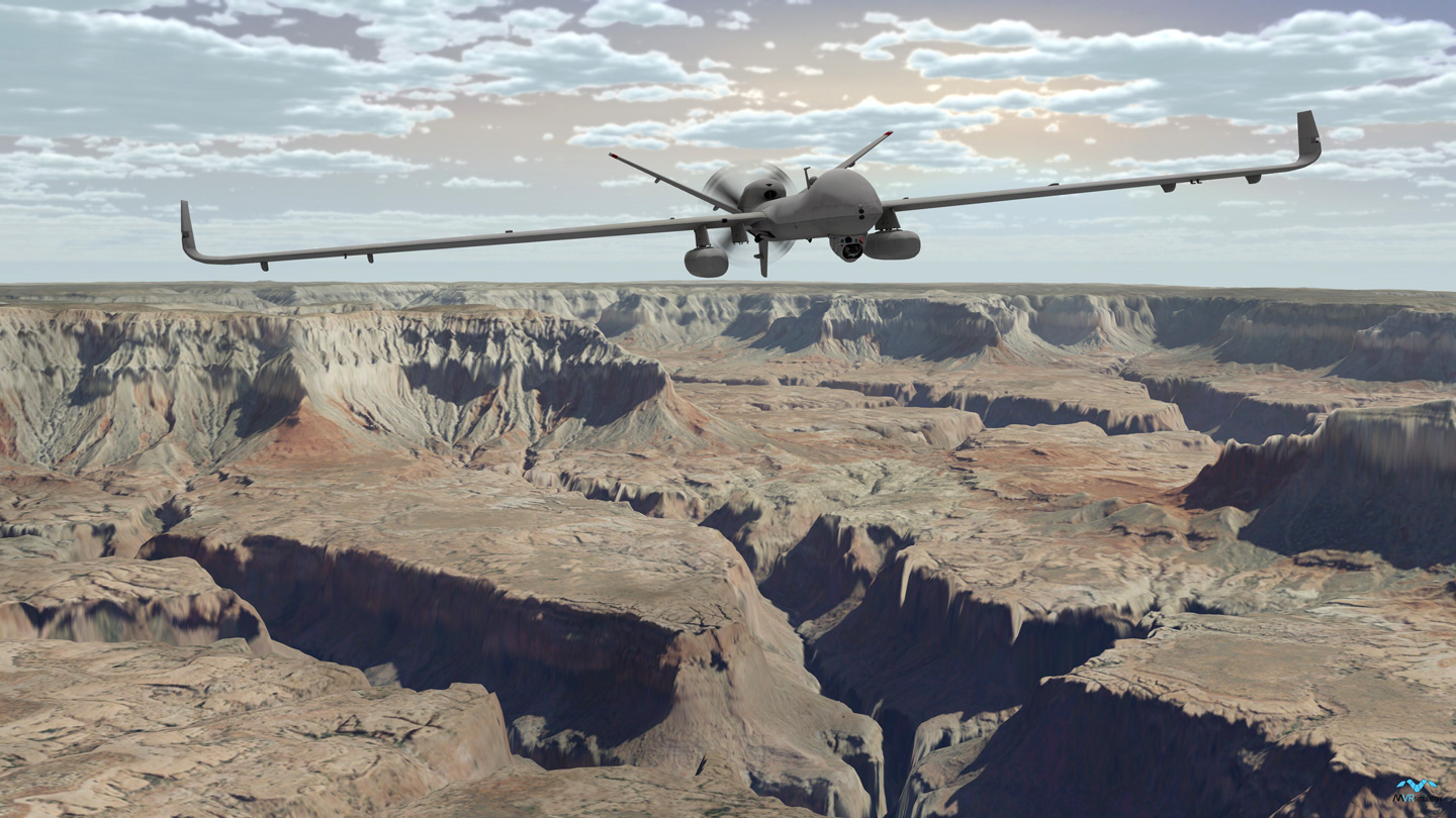

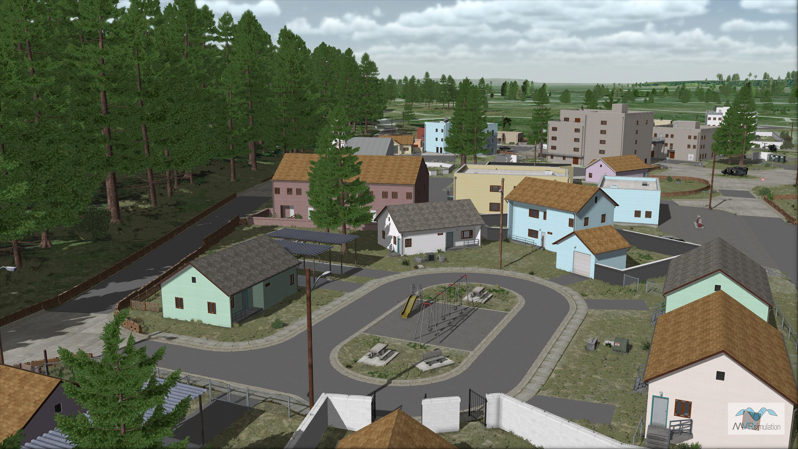
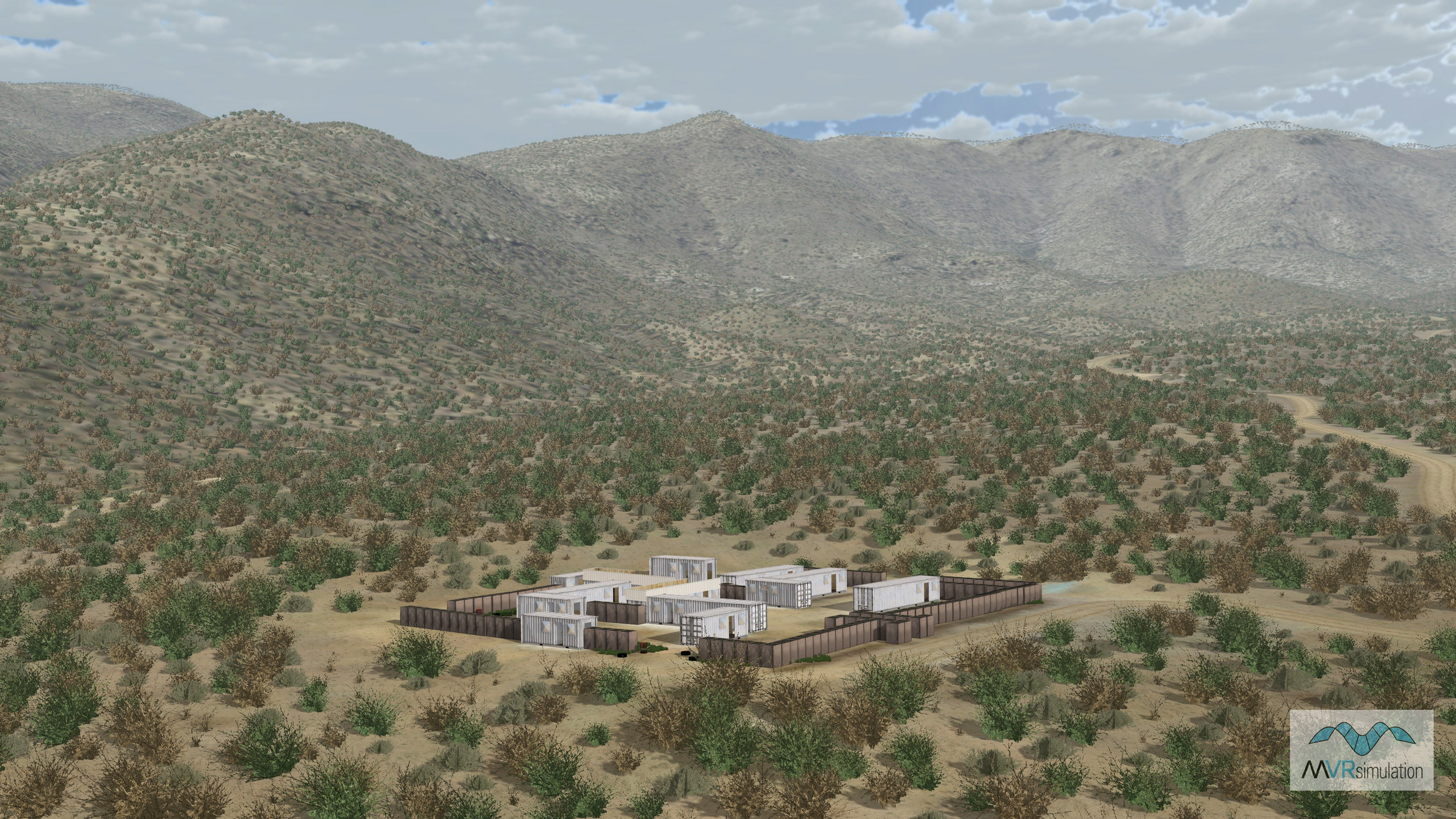
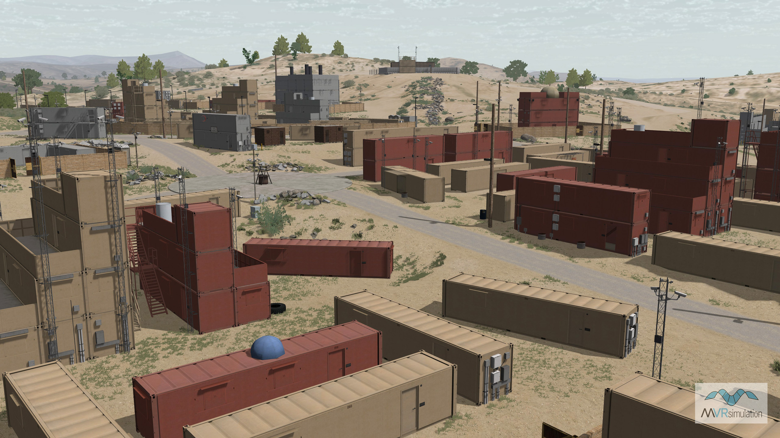
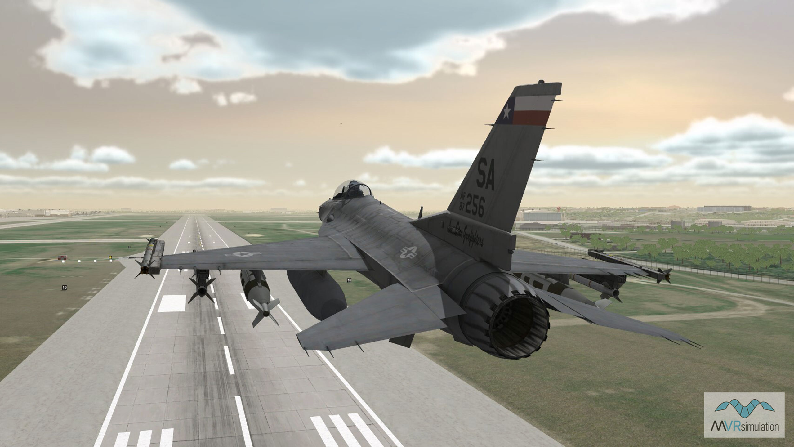
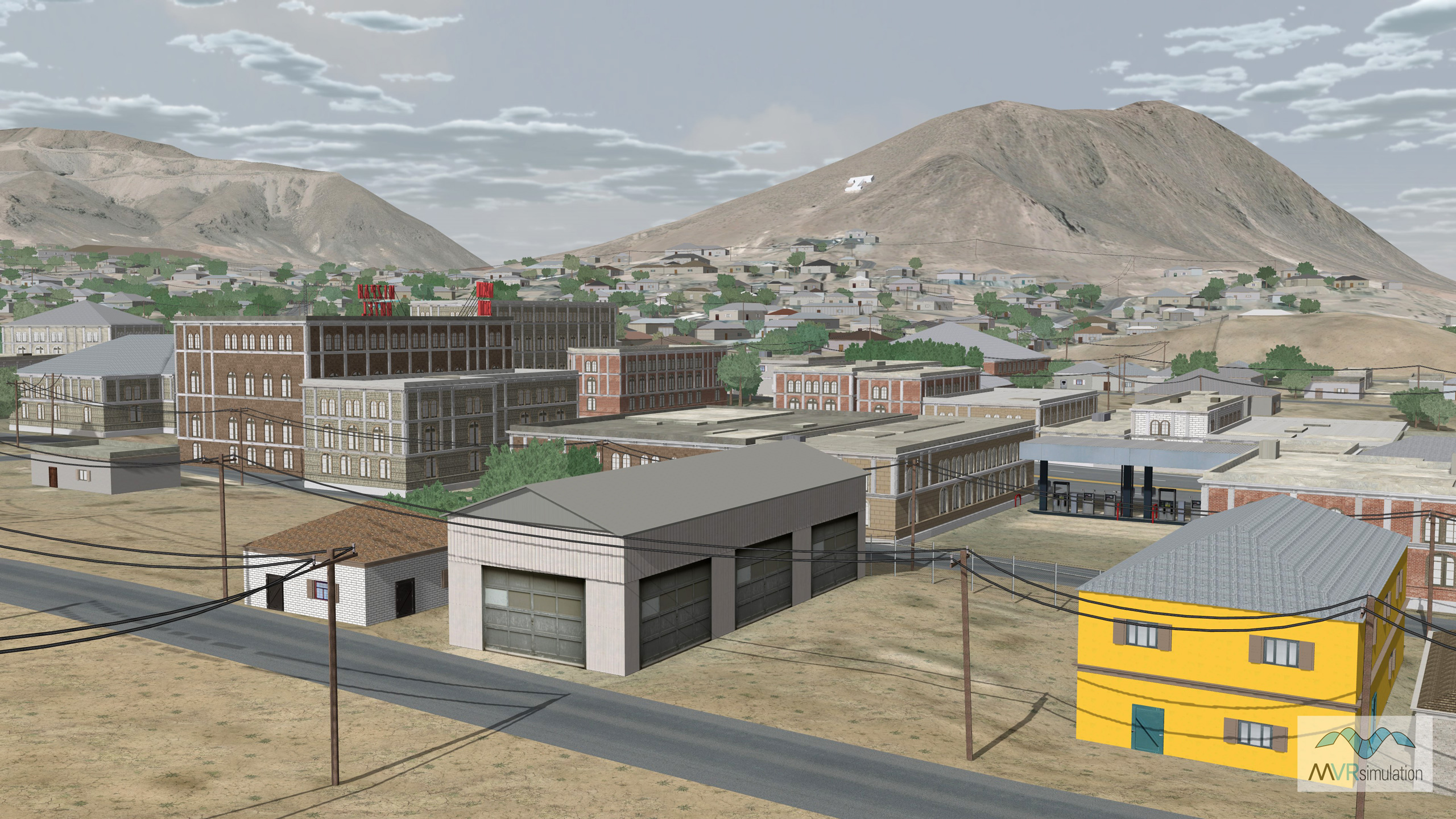
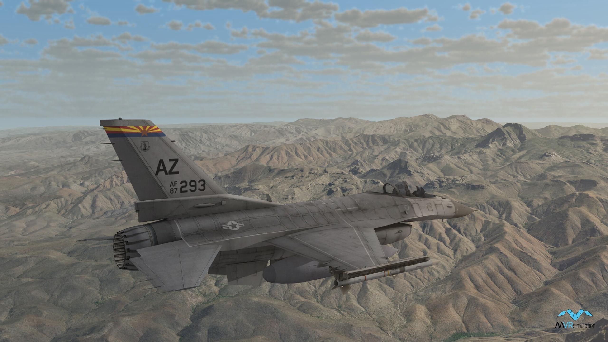
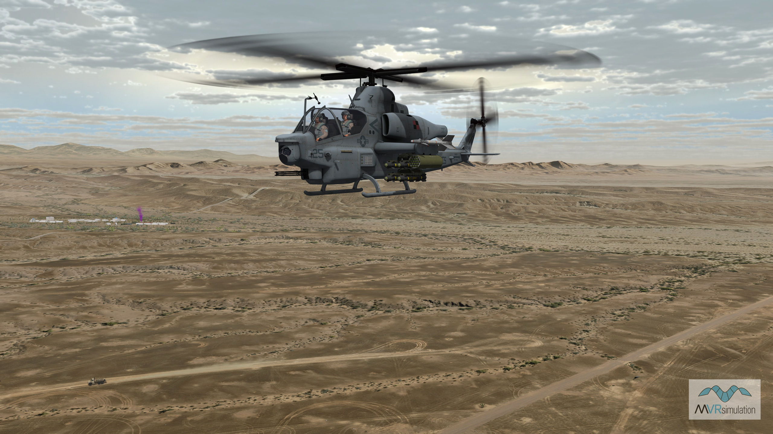
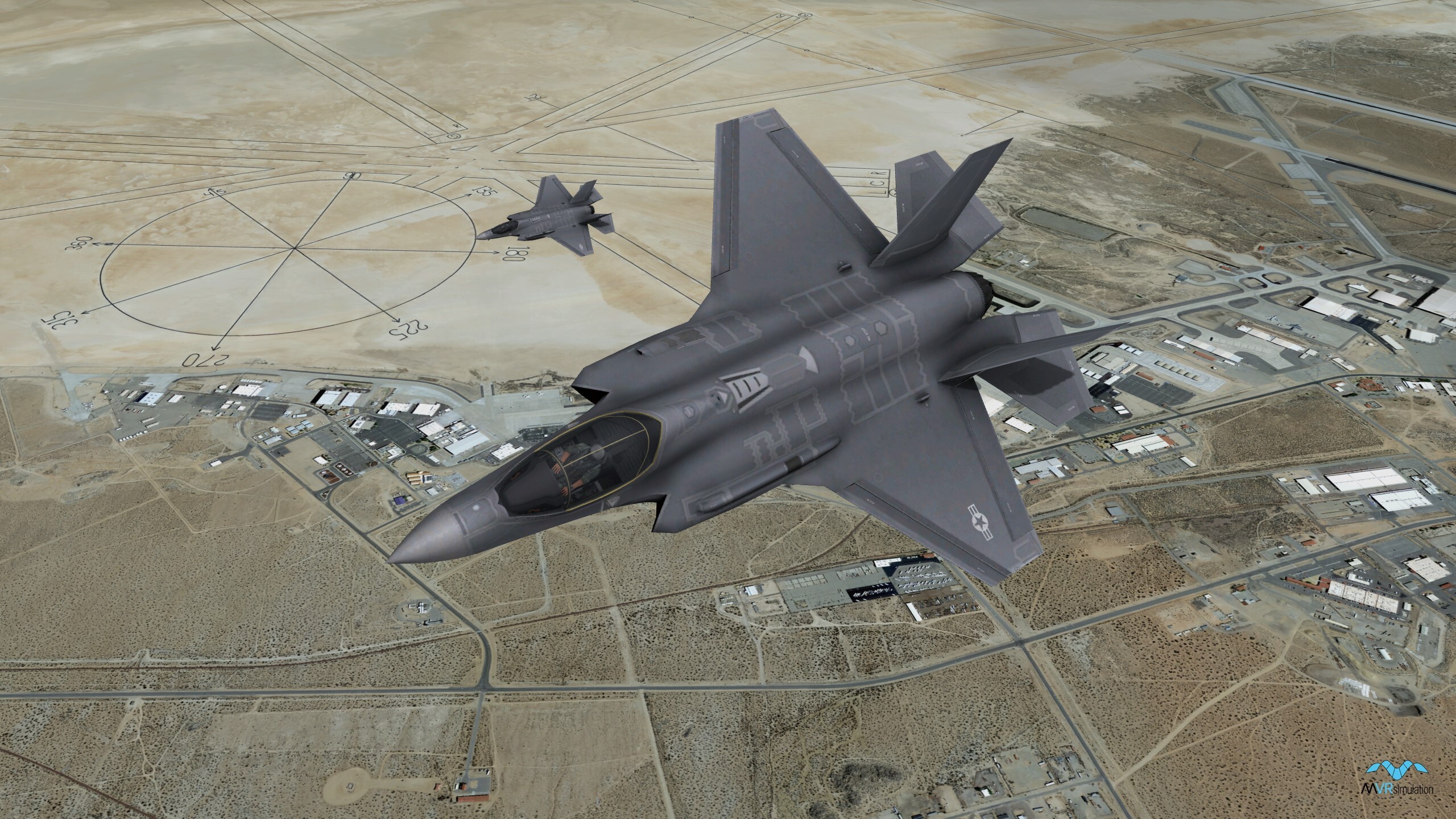
MVRsimulation's seamless 3D terrain of Continental U.S. plus Alaska and Hawaii is constructed with high-resolution geospecific orthoimagery and varying levels of digital elevation models. The baseline terrain consists of 1-meter per-pixel (mpp) National Agriculture Imagery Program (NAIP) imagery (except for Alaska and Hawaii) combined with 10-meter per-post NED elevation data.
Overview
Covering an area over 1,900-geocells, the terrain includes high-resolution insets of several areas of interest (AOI) including military installations and urban areas. Each high-resolution inset contains image data ranging in resolution from 0.025 mpp to 0.75 mpp. Built with MVRsimulation’s Terrain Tools for Esri® ArcGIS®, the round-Earth VRSG terrain architecture tiles reside in a geocentric coordinate system. These tiles are suitable for real-time visualization and simulation applications that use MVRsimulation VRSG, including synthetic vision, glass-cockpit displays, intelligence surveillance, and reconnaissance (ISR) applications, close-air-support (CAS) exercises, and fixed-wing cockpit simulation.
The CONUS-NAIP dataset can also serve as a baseline to which you can add higher-fidelity information to refine the database in a given area of interest. For example, you can add high-resolution aerial imagery or LIDAR elevation data, GPS point surveys, or 3D point features such as buildings, trees, targets, and runway models. You can make these additions as they become available, even in real-time if information is provided directly from sensors in the field. The round-Earth VRSG terrain architecture automatically signals any listening runtime visualizations that new data is available to be paged into memory. This update flexibility is:
- Efficient - conventional simulations applications do not need to recompile entire dataset upon receipt of new data.
- Scalable - independent assets can be applied to both construction and visualization.
- Innovative - mission rehearsal and battle damage assessment tasks can now include a 3D visualization component that is sensor-data driven.
MVRsimulation updates this 3D terrain on an ongoing basis as new source data become available. The CONUS-NAIP 3D terrain is "Additional Materials" and is provided "as is" as described in our software license agreement. Although MVRsimulation might modify or enhance the original source imagery, some visual artifacts from the source imagery might remain in the terrain tiles.
MVRsimulation and many of its customers use Esri’s CityEngine 3D modeling software to generate geotypical procedural building models compiled in Terrain Tools. CityEngine is used for creating huge procedural cities using CGA code and building footprint data. The buildings can be compiled directly into the terrain from a rule package containing compiled CGA rule files. MVRsimulation provides customers its CGA rule packages for specific terrain to use in Terrain Tools.
You can add culture assets from MVRsimulation’s robust model libraries and construct pattern-of-life scenarios using MVRsimulation’s Scenario Editor. You can also build higher-resolution terrain tiles with Terrain Tools for Esri ArcGIS with your own source data to refine the terrain for a given area of interest. You can also request terrain enhancements or higher resolution terrain tiles from MVRsimulation.
Areas of Interest
The CONUS-NAIP terrain contains several high-resolution 3D culture areas are included throughout the CONUS-NAIP terrain including military training sites, airports, and urban centers. Many of these areas are modeled from photographs taken at the actual sites.
The CONUS-NAIP terrain contains a number of AOIs built with sub-inch resolution imagery collected by MVRsimulation's small UAS. Virtual terrain created with sub-inch resolution imagery is critical for real-time simulation; high-fidelity visual cues such as helicopter landing areas, vehicle targets, and small craters left from exploded ordnance are visible on the terrain and bullet holes are visible on targets. These AOIs include:
- Prospect Square area at the Yuma Proving Ground, AZ;
- Fallon Range Training Complex, Naval Aviation Warfighting Development Center (NAWDC) at Naval Air Station (NAS) Fallon, NV;
- Amarillo International Airport, Amarillo, TX, which also includes 5 mm imagery collected by a second SUAS;
- Prescott, AZ, which includes 5 mm per pixel imagery blended into 2.5 cm imagery.
Among the CONUS-NAIP culture AOIs MVRsimulation has modeled are nearly 30 airports. All have the CONUS-NAIP base imagery of 1 mpp or better resolution. All include higher-resolution insets, with imagery ranging from 0.15 mpp to 0.60 mpp, blended with the underlying 1 mpp NAIP imagery. Elevation sources for most airports are 10 meters-per-post and are blended for a seamless transition to the underlying terrain and to a custom elevation that matches FAA airport elevations with at least 95% accuracy.
Many virtual airports were built at the request of customers. In most cases, a site-specific control tower was built (based on publicly available photos) and used with a combination of geotypical airfield models from MVRsimulation’s extensive culture model libraries. Cultural features for some airports are geospecific, based on photos of the buildings and other structures.
All airports contain accurate runways and runway lights, markings, and signage. Cultural features on some are geospecific, based on photos of the buildings and other structures.
Specifications
Below are specifications for MVRsimulation’s CONUS-NAIP terrain dataset in round-Earth VRSG terrain architecture (.MDS format).
| Coverage | 14,900,000 sq km |
| Size On Disk | 37.3 TB |
| Terrain Post Spacing | 10 meters-per-post |
| Elevation Source | NED 10m |
| Terrain Imagery | 1 meters-per-pixel (mpp) natural color imagery from the Simulator Database Facility (SDBF) at Kirtland Air Force Base, distributed for government simulation training only, with high-resolution imagery ranging from 0.24 to 0.50 mpp for several urban areas and most US military installations. Also 0.025 inset imagery collected by MVRsimulation's SUAS. |
| Total Size on Disk | 93.7GB |
Alaska |
|
| Coverage | 1,717,854 sq km |
| Terrain Post Spacing | 50 meters-per-post |
| Elevation Source | DTED0, DTED1, DTED2, SRTM, and GTOPO30 |
| Terrain Imagery | 15 mpp NaturalVue Landsat, 5 mpp Fairbanks and Anchorage, 1 mpp imagery Fairbanks and Wainwright, 60 cm imagery Anchorage, Eielson AFB, Allen Army Airfield. |
Hawaii |
|
| Coverage | 28,311 sq km |
| Terrain Post Spacing | 10 meters-per-post |
| Elevation Source | NED 10 m |
| Terrain Imagery | 0.25 mpp, 0.30 mpp and 2 mpp of Island of Hawaii, 0.30 mpp of Maui, Kahoolawe, Lanai, Molokai, Kauai, and Niíihau, 0.50 mpp of Oahu Hickman AFB. |
Delivery
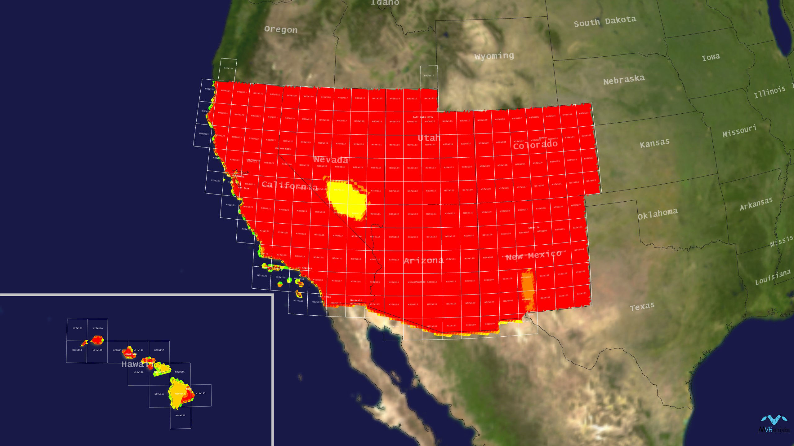
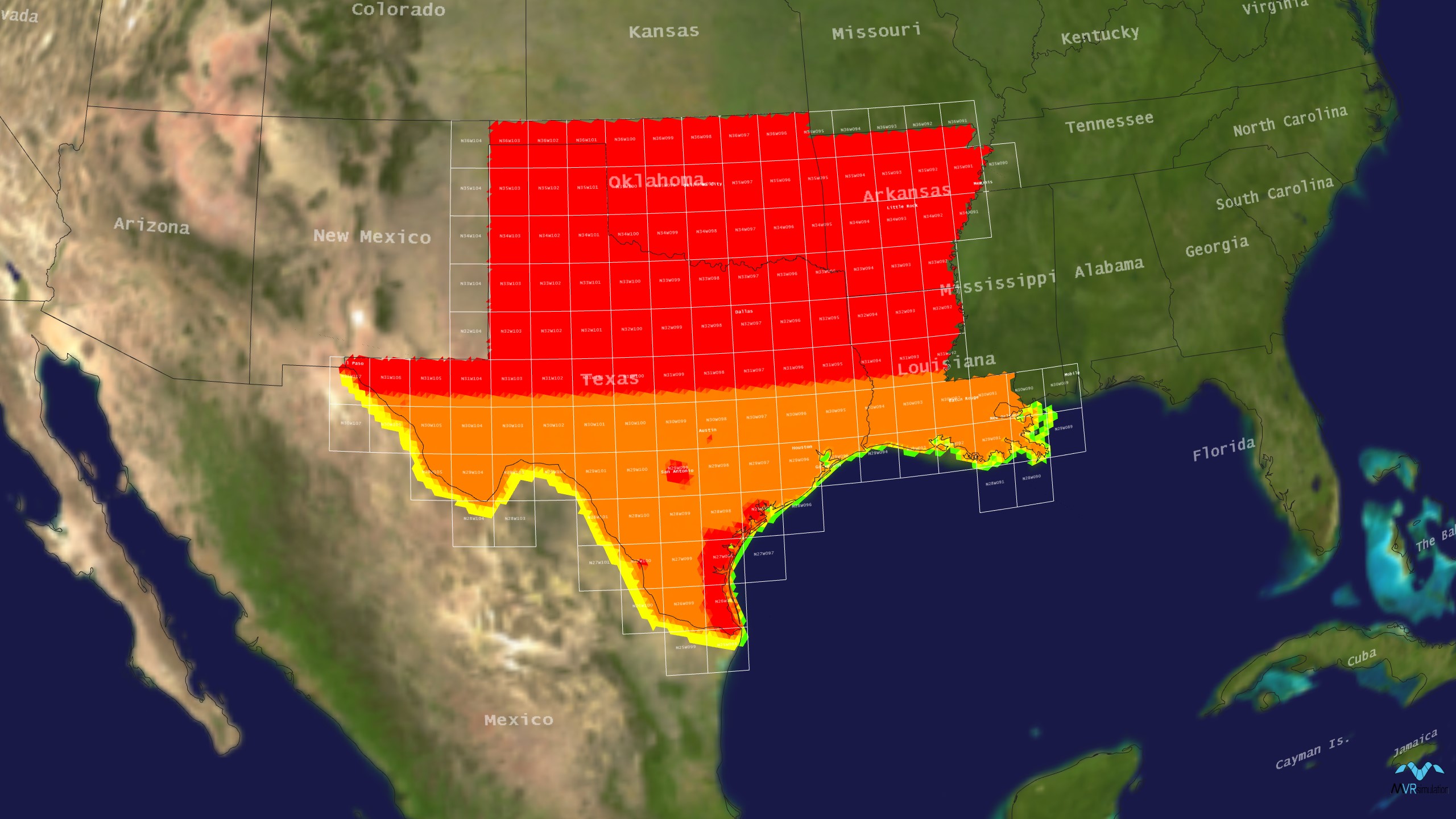
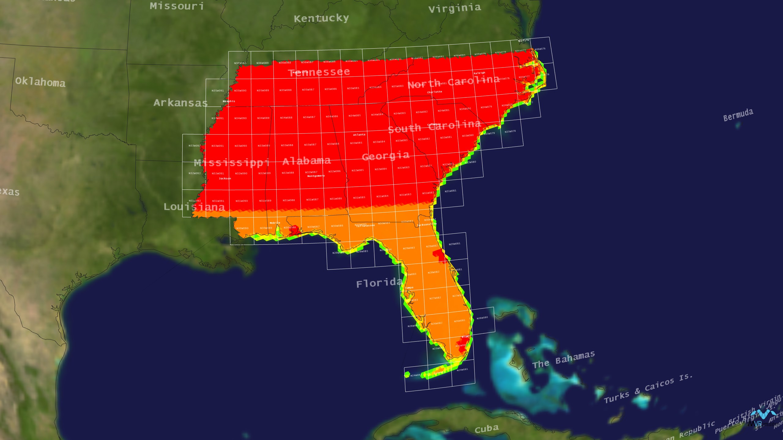
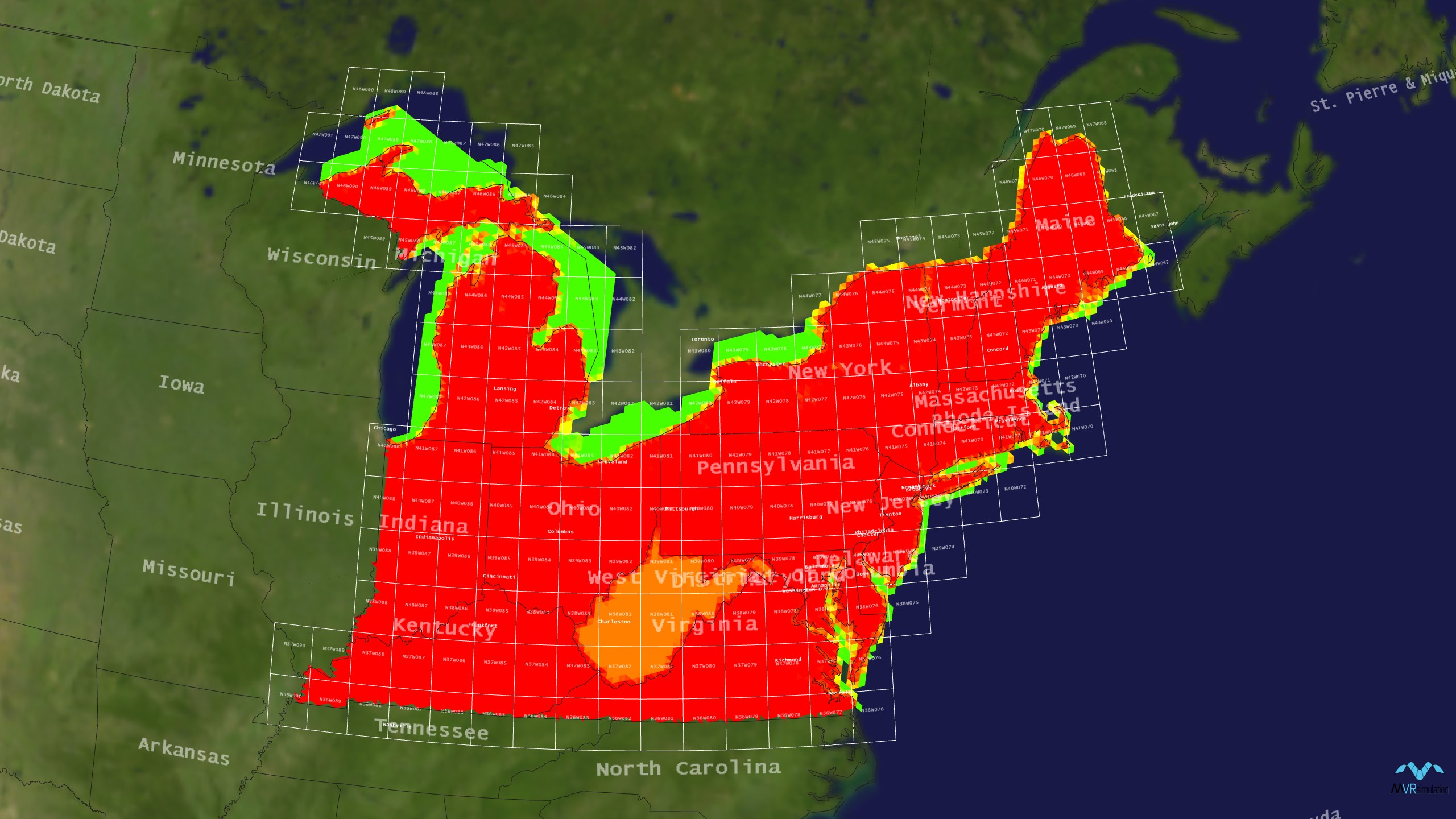
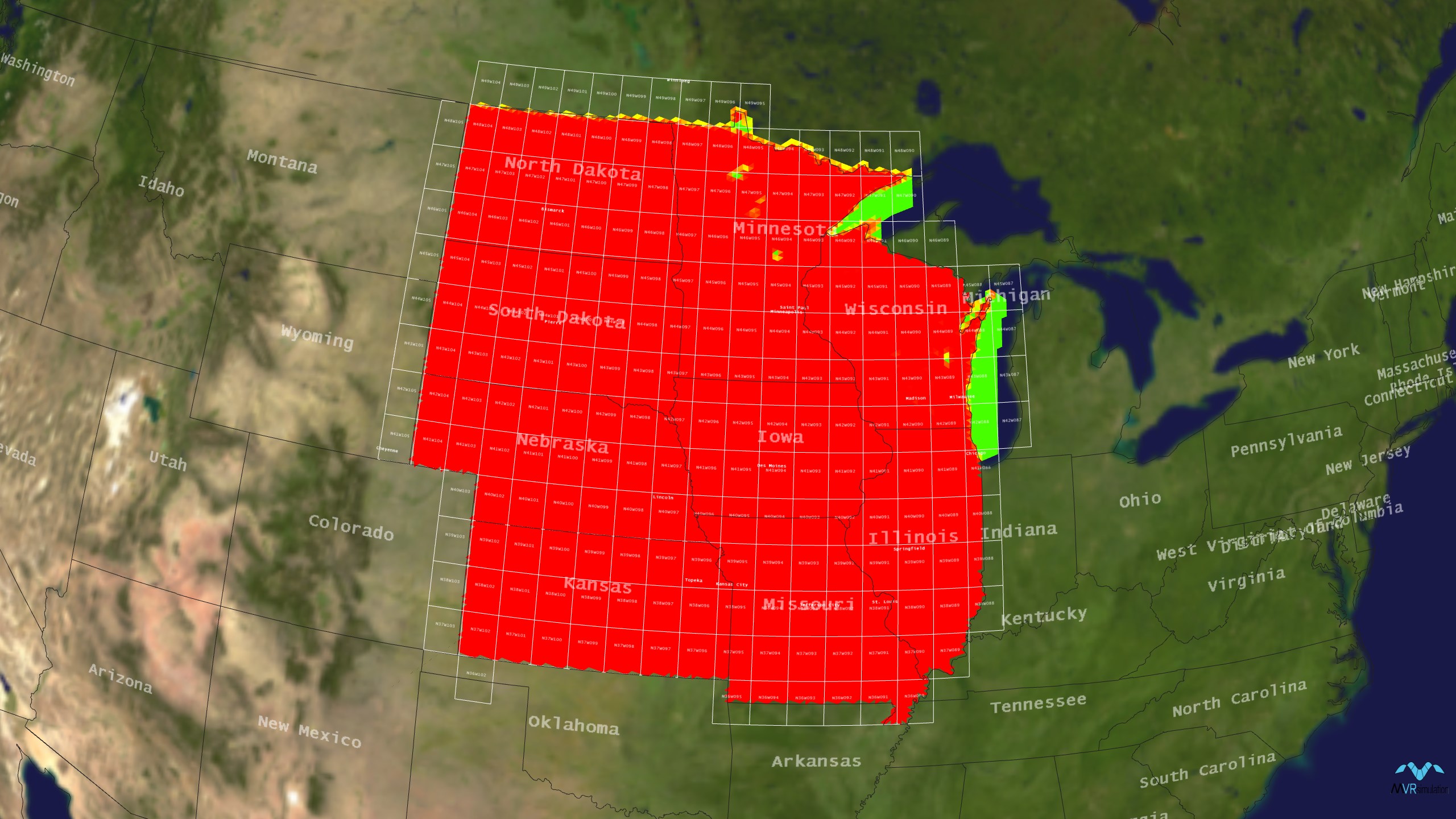
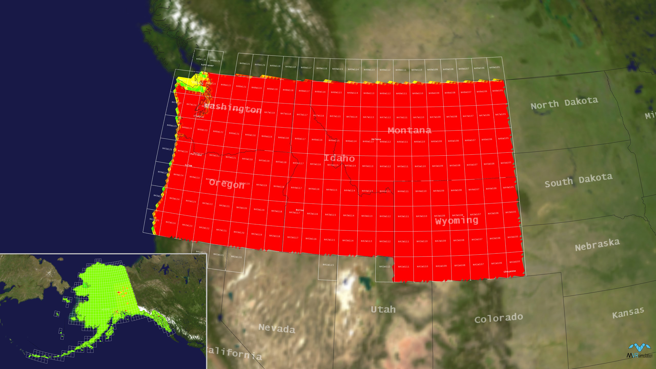
MVRsimulation’s CONUS-NAIP 3D terrain is delivered on six external USB hard drives or on a direct-attached, large-volume (DALV) storage device. Each drive includes geospecific terrain of a region constructed from natural color imagery ranging from 0.24 to 1 mpp resolution. Each drive also includes 4 mpp resolution tiles derived from the 1 mpp terrain for customers who need a more compact version of the terrain. The hard drives are organized by region as shown in the following table. Click the thumbnail image of a region to view an enlarged image:
How to Order
The terrain is provided in MVRsimulation's round-Earth VRSG terrain architecture (MDS format) and will only run with a valid VRSG7 software license, with current software maintenance.
MVRsimulation’s CONUS-NAIP 3D terrain is available for purchase to customers who are U.S. government agencies or contractors (for official use only). Customers can duplicate the data at their discretion as long as the data is used in conjunction with a valid VRSG7 license.
The CONUS-NAIP 3D terrain is available in regions (as described in the table above). Regions are distributed on portable, external drives.
The entirety of CONUS-NAIP can be obtained by purchasing:
- All six region terrain drives.
- Complete world terrain (which includes CONUS-NAIP) delivered on a direct-attached, large-volume (DALV) storage device compatible with laptop/notebook and desktop computer configurations requiring USB 3.1 gen2 port.
A fee covers processing large quantities of data into round-Earth VRSG terrain architecture (MDS format) and hard drive distribution media.
You can request a quote for the CONUS-NAIP 3D terrain directly from MVRsimulation by consulting the Price List and then filling out the quote request form and providing the name of the region (as described in the table above).
Other Resources
- Terrain products from the Simulator Database Facility (SDBF) at Kirtland Air Force Base. SDBF is a central repository and distribution point of terrain databases (including MVRsimulation's terrain) that are available for DOD programs.
- Terrain products from the Air National Guard Visual Database Development Team. This team produces high fidelity and fully immersive visual databases to support multiple Air National Guard training devices. These databases are in MVRsimulation's round-earth terrain format to provide out-the-window VRSG views in both ground based and flight training devices.
All policies on this page are subject to change without notice.
(April 2024)

