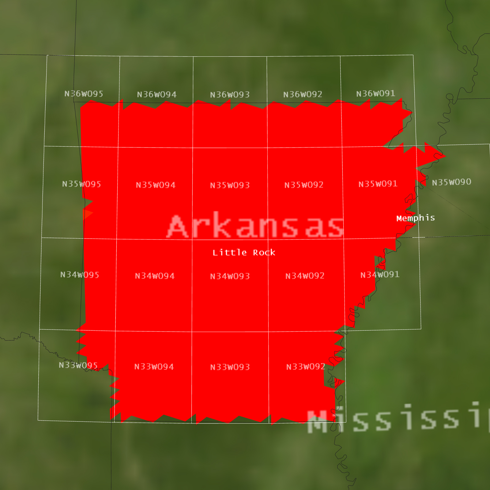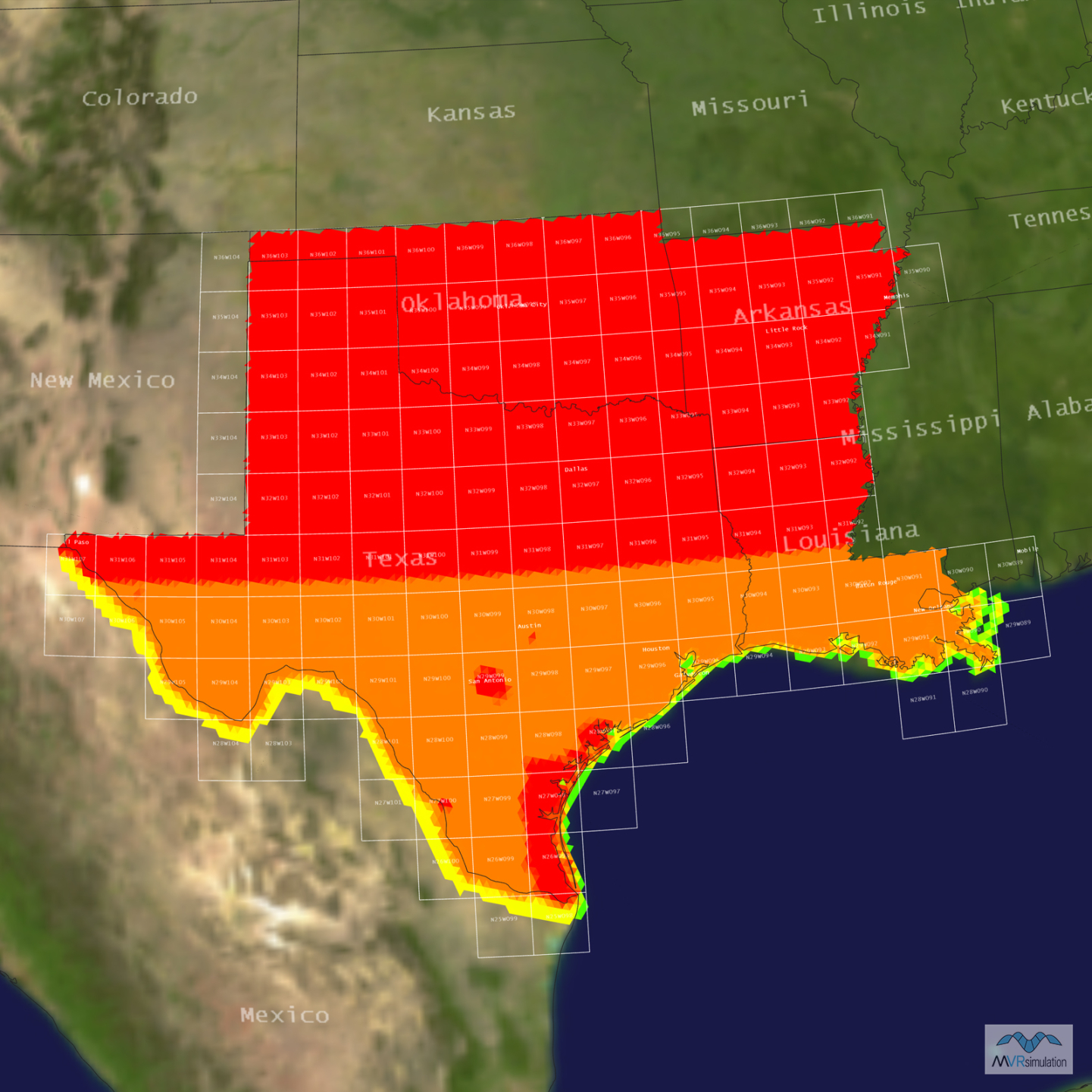
Razorback Range Terrain Database Information
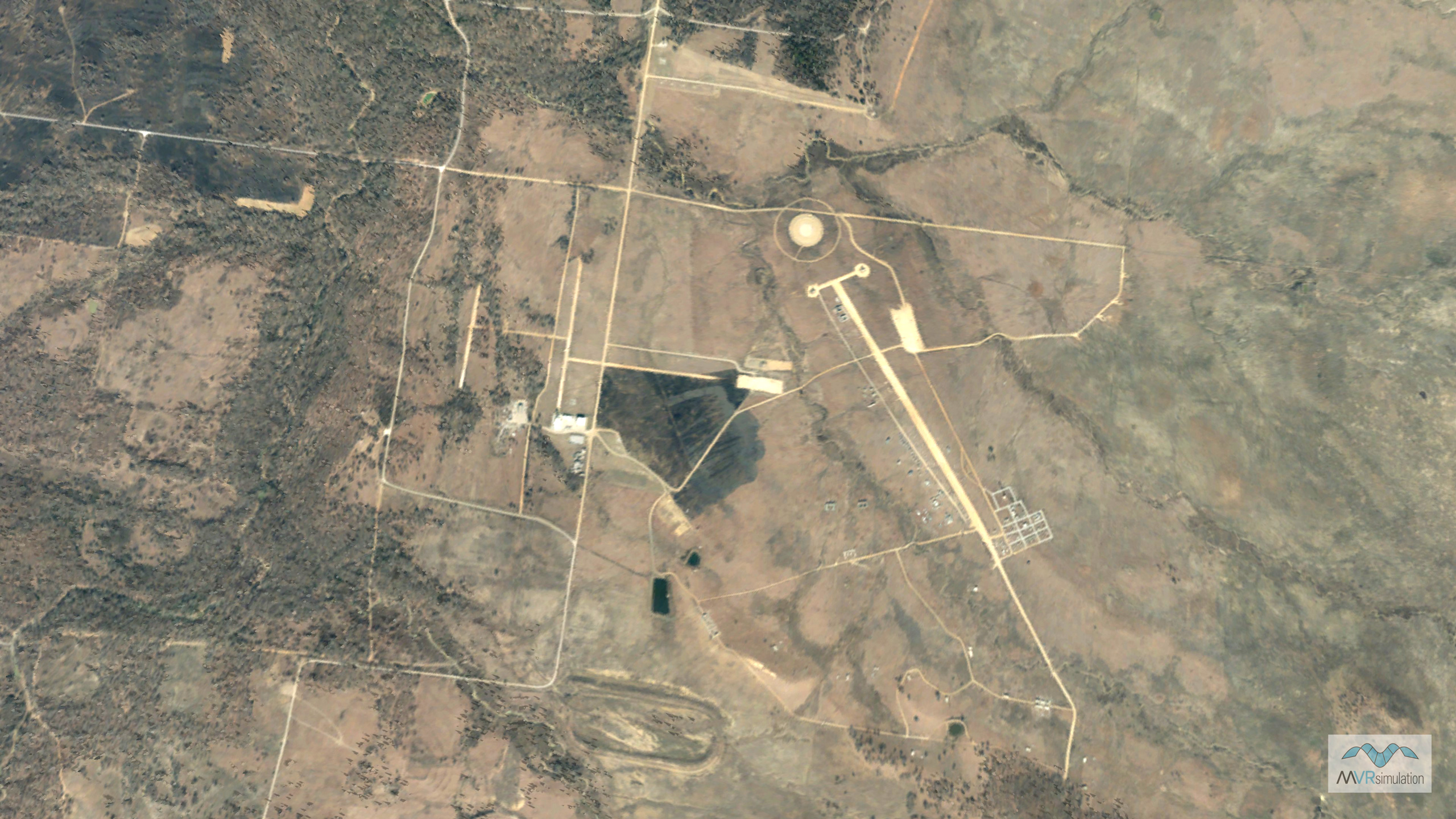
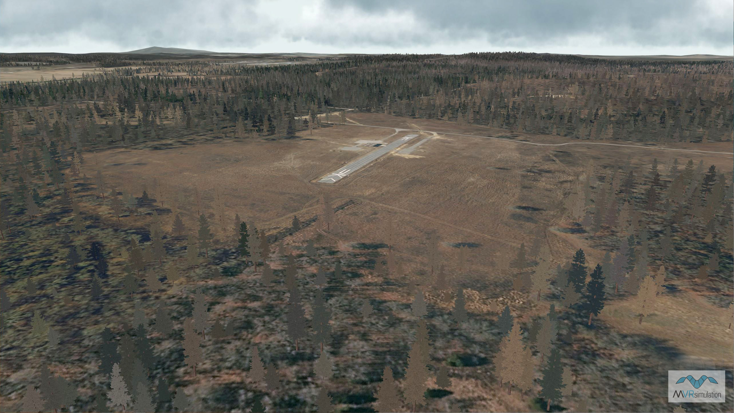
- Imagery: 30cm
- Elevation: NED 10m
- Terrain Drive: CONUS South Central
- Cultural Features: Trees
- Razorback Range is an aircraft bombing and targeting range located at Fort Chaffee Joint Maneuver Training Center (FCJMTC). The range provides a wide array of joint training for air and ground forces from close air support to combat search and rescue missions.