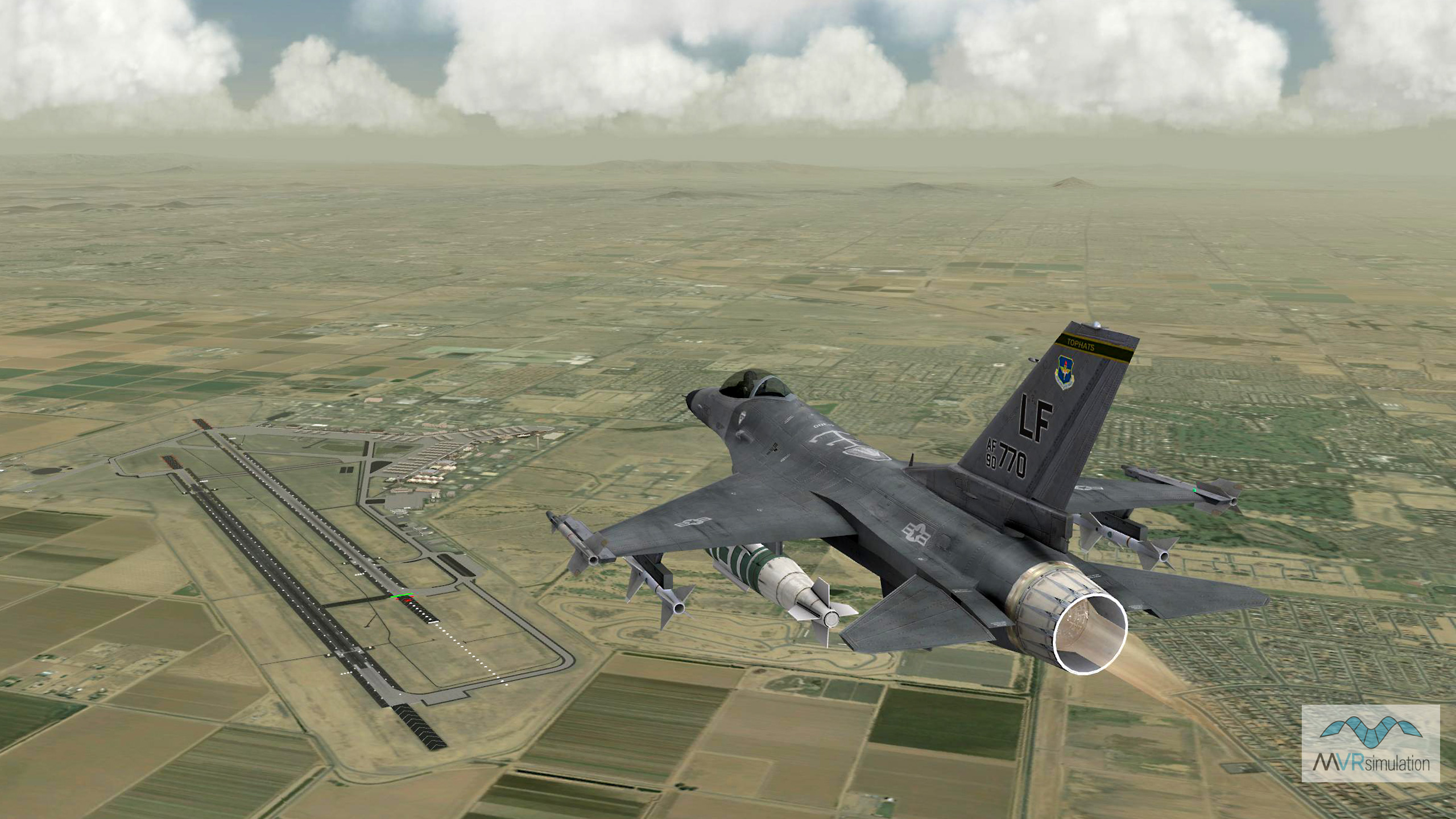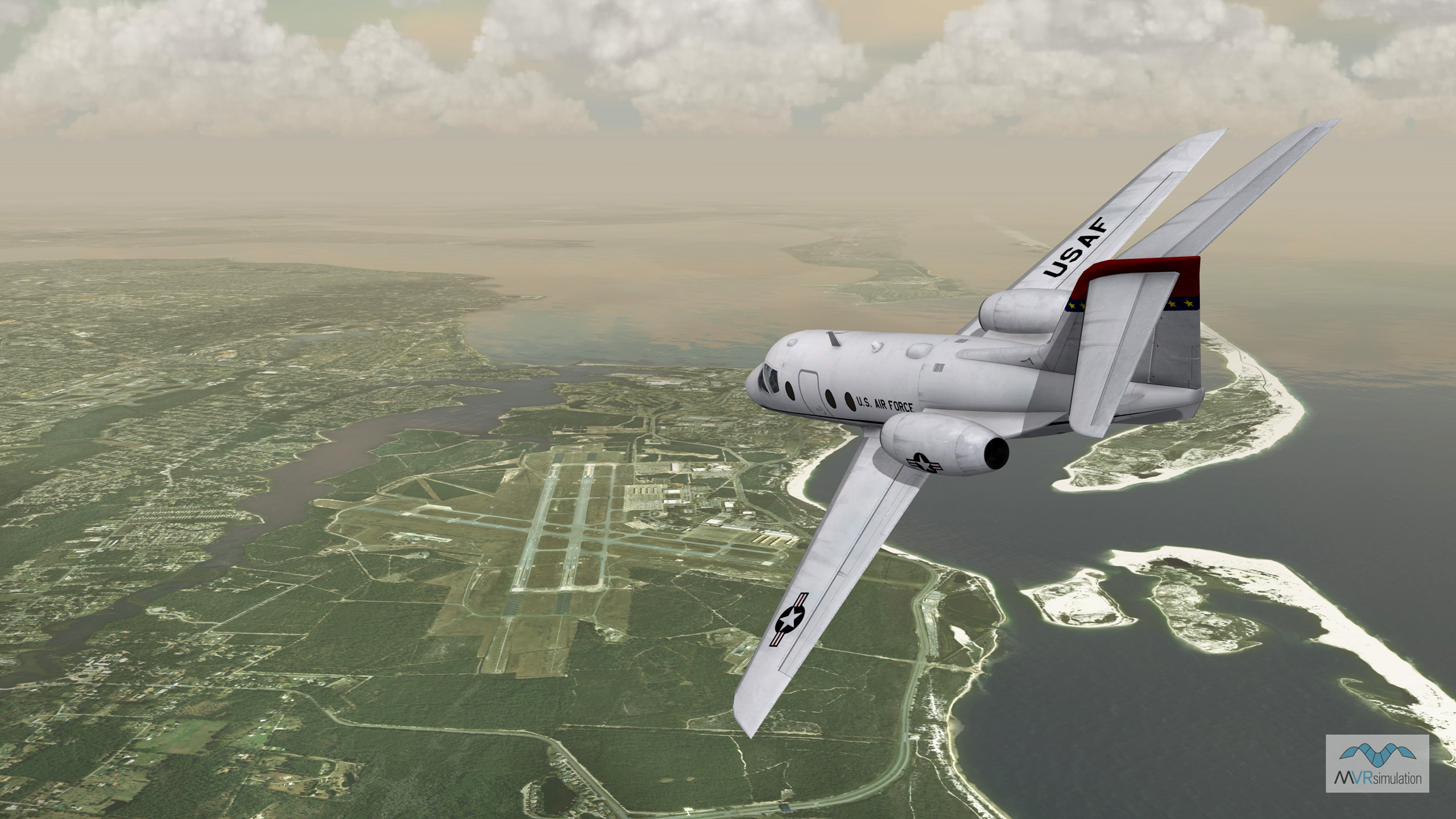
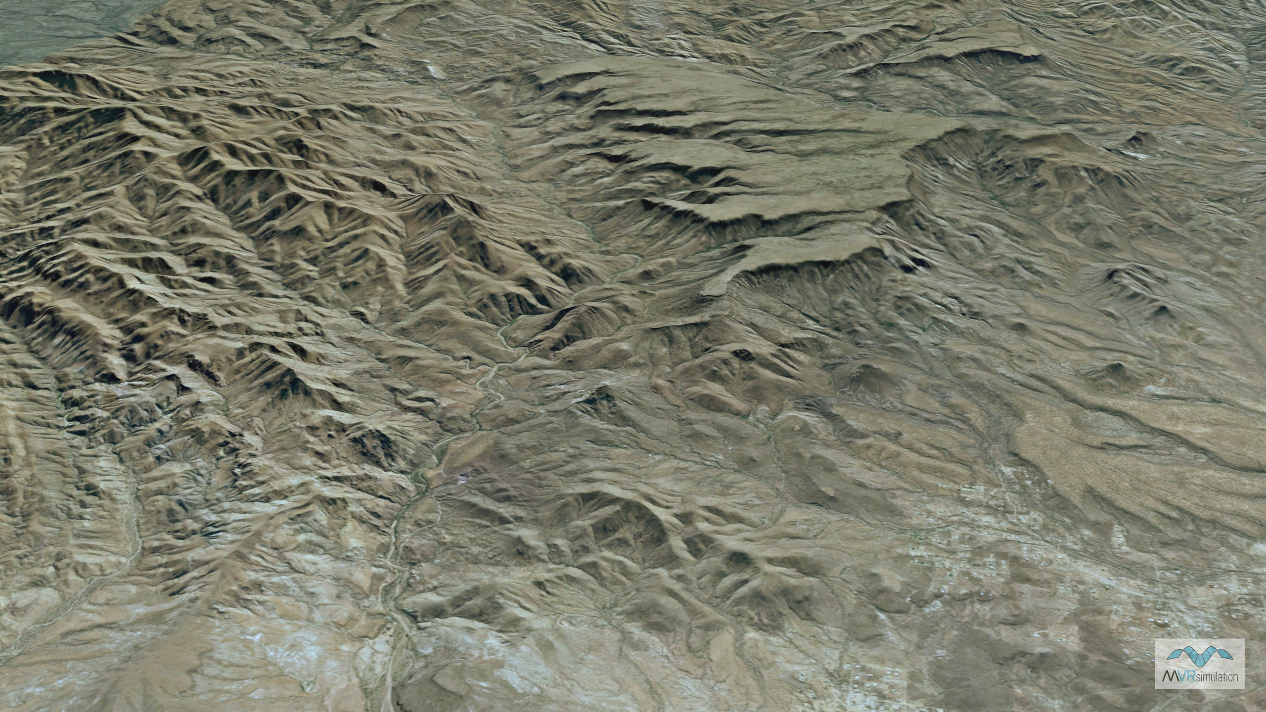
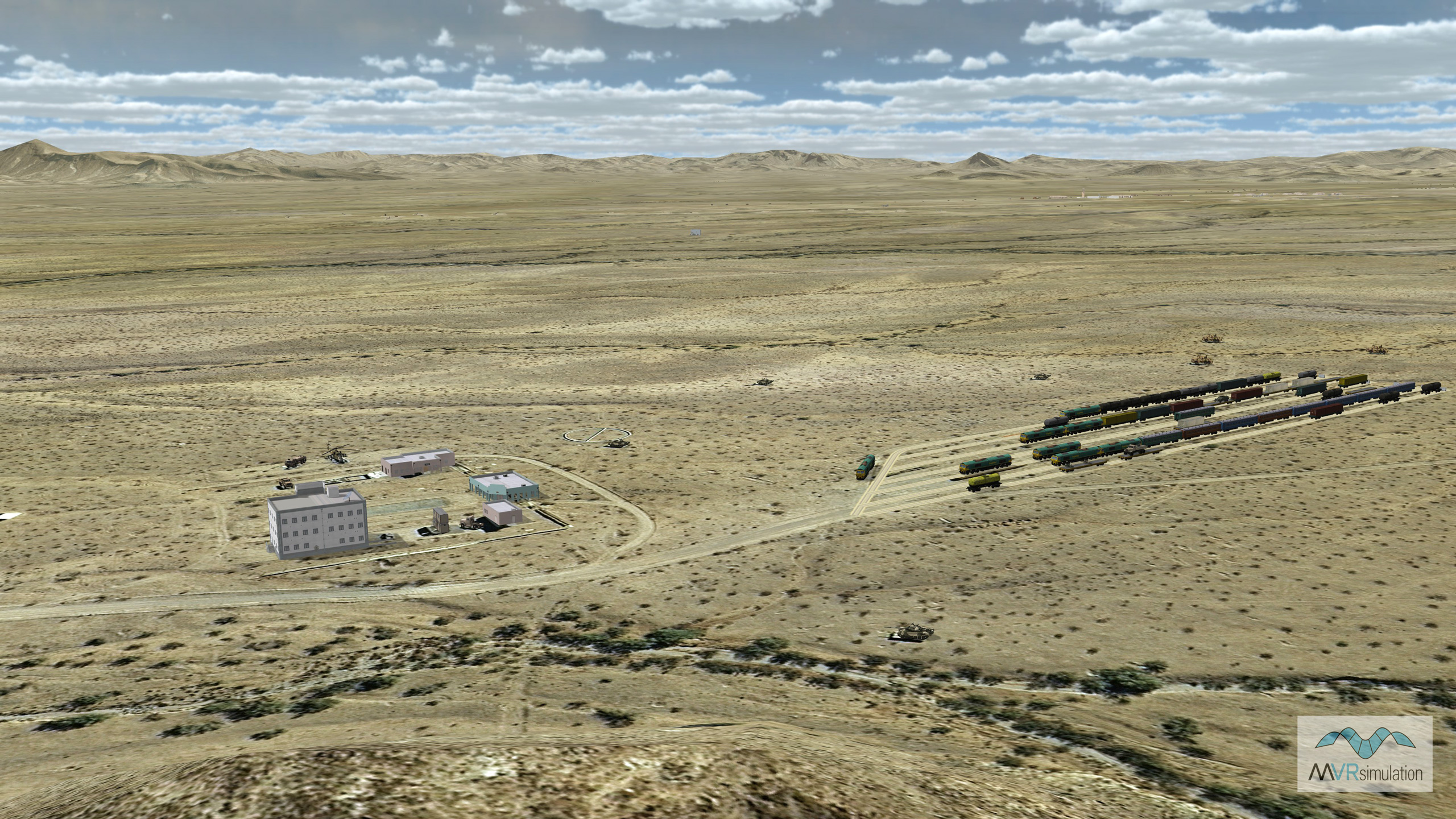
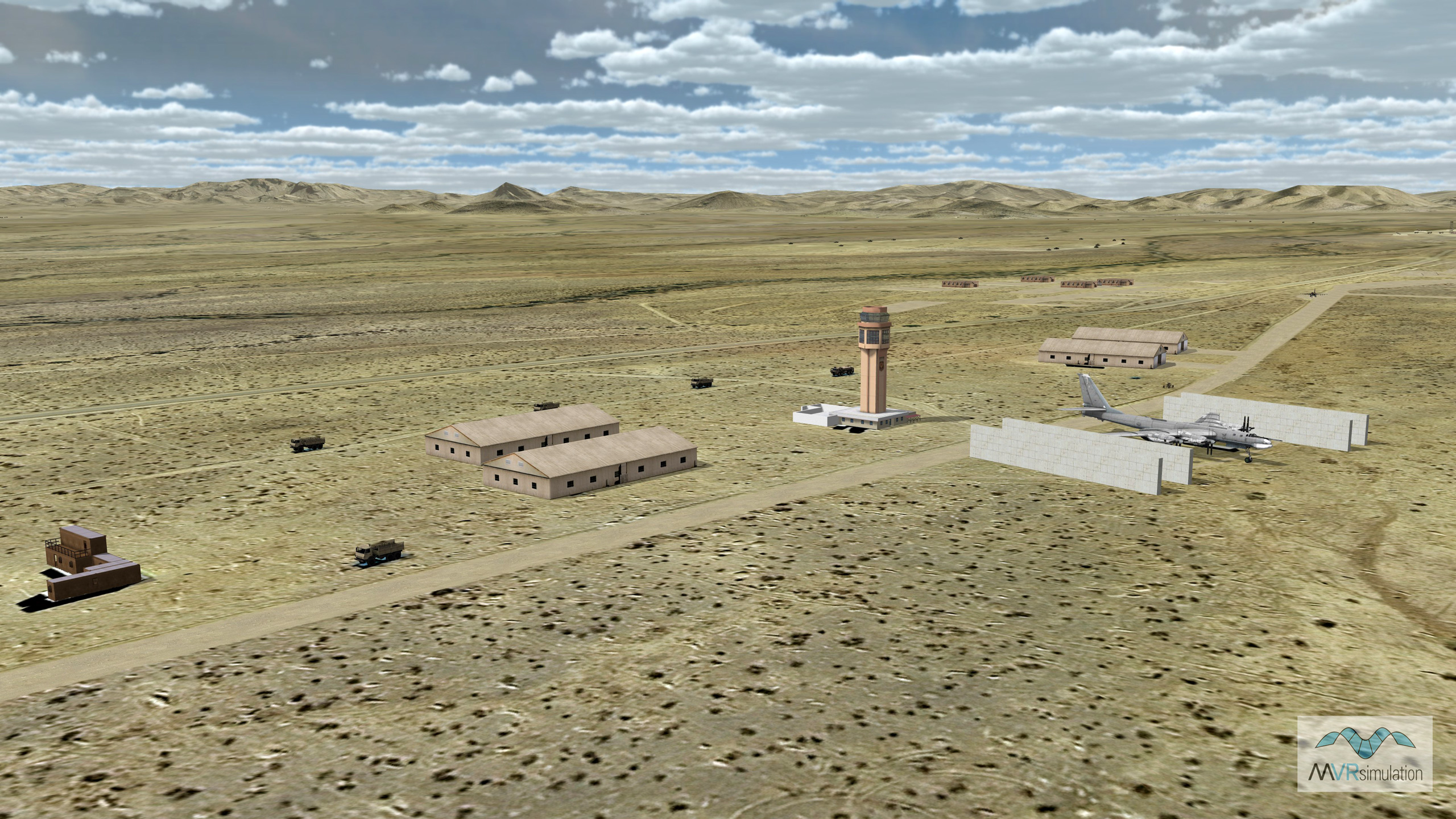
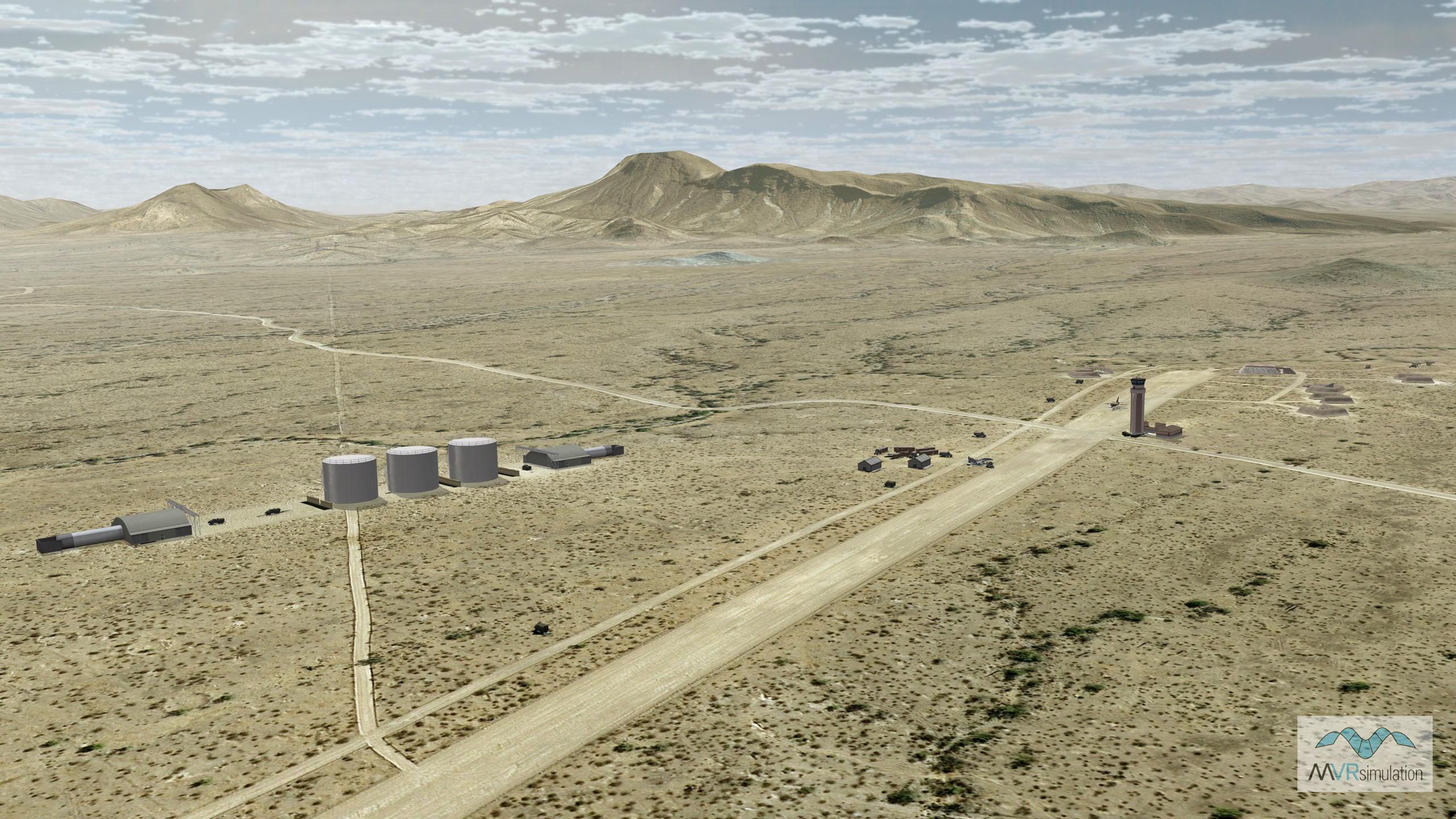
MVRsimulation has built geospecific 50 cm per-pixel resolution 3D terrain of Barry M. Goldwater Range (BMGR), located near the US-Mexican border. The terrain, built in MVRsimulation's round-earth VRSG terrain format with MVRsimulation Terrain Tools for Esri® ArcGIS®, was originally delivered to Luke Air Force Base as part of upgrades to their F-16 full-mission training simulators. The F-16 Networked Training Center at Luke Air Force Base runs 53 licenses of MVRsimulation VRSG and 3D content in four training dome systems. During training exercises, pilots in the F-16 simulators at Luke AFB take off from the virtual airfield and fly to the virtual BMGR.
The total coverage of the BMGR imagery at 50 cm resolution is 66 sq km. Underlying the terrain of 50 cm resolution imagery is MVRsimulation's CONUS++ terrain, which was built with 1 meter per pixel terrain imagery and DTED-1 elevation data. Terrain culture includes 573 models of structures and targets located on the East Tactical Range (ETAC).
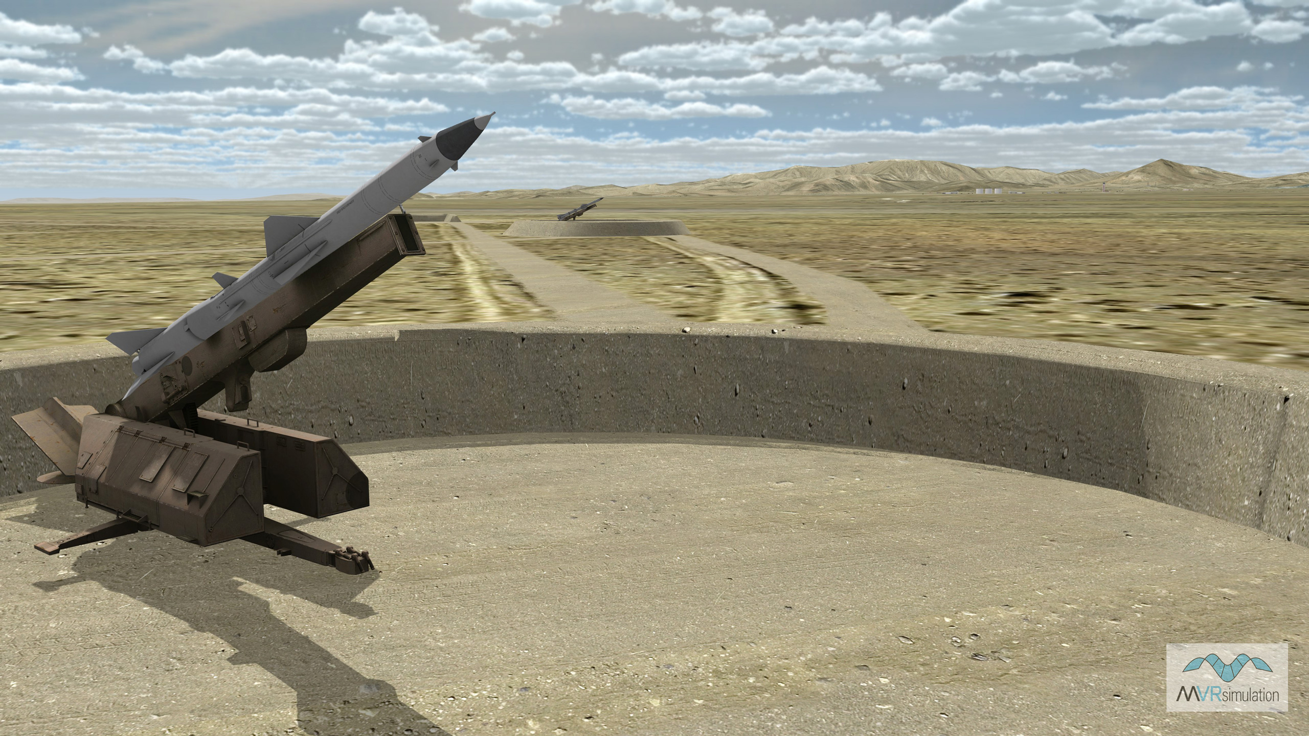
Cultural models include airfield structures at the Gila Bend Auxiliary Airfield, and arrays of realistic ground targets, which significantly enhance the realism for pilots training in air-to-ground ordnance delivery. All models are geolocated on the BMGR terrain. Among the ground targets at BMGR are obsolete tanks and trucks, vehicle convoys, aircraft, and armor. Other targets are full-scale modular metal mockups or replicas of specific threats, of enemy weapons systems such as SAMS, tanks, anti-aircraft artillery and tactical ballistic missiles. In such cases, as shown in the SAMS scene below, military models from MVRsimulation's 3D model libraries were placed on each target footprint so that a pilot flying in the simulator sees a realistic representation of a potential target.
Using MVRsimulation military models and VRSG cultural feature files, users can swap in different entities to represent real-world threats during training exercises.
Note that 50 cm source imagery has its limitations in visual fidelity. To see a virtual range built at a higher resolution, see MVRsimulation's virtual ranges at the Fallon Range Training Complex.
The BMGR Range terrain dataset is available on MVRsimulation's CONUS ++ Southwestern region 3D terrain. The CONUS++ 3D terrain, in round-earth VRSG terrain format, is available for purchase to all customers who are on active VRSG software maintenance and are US Government agencies or contractors (for official use only). For US-domestic use only, not available for export. The terrain can be viewed only with a valid VRSG software license with active software maintenance.

