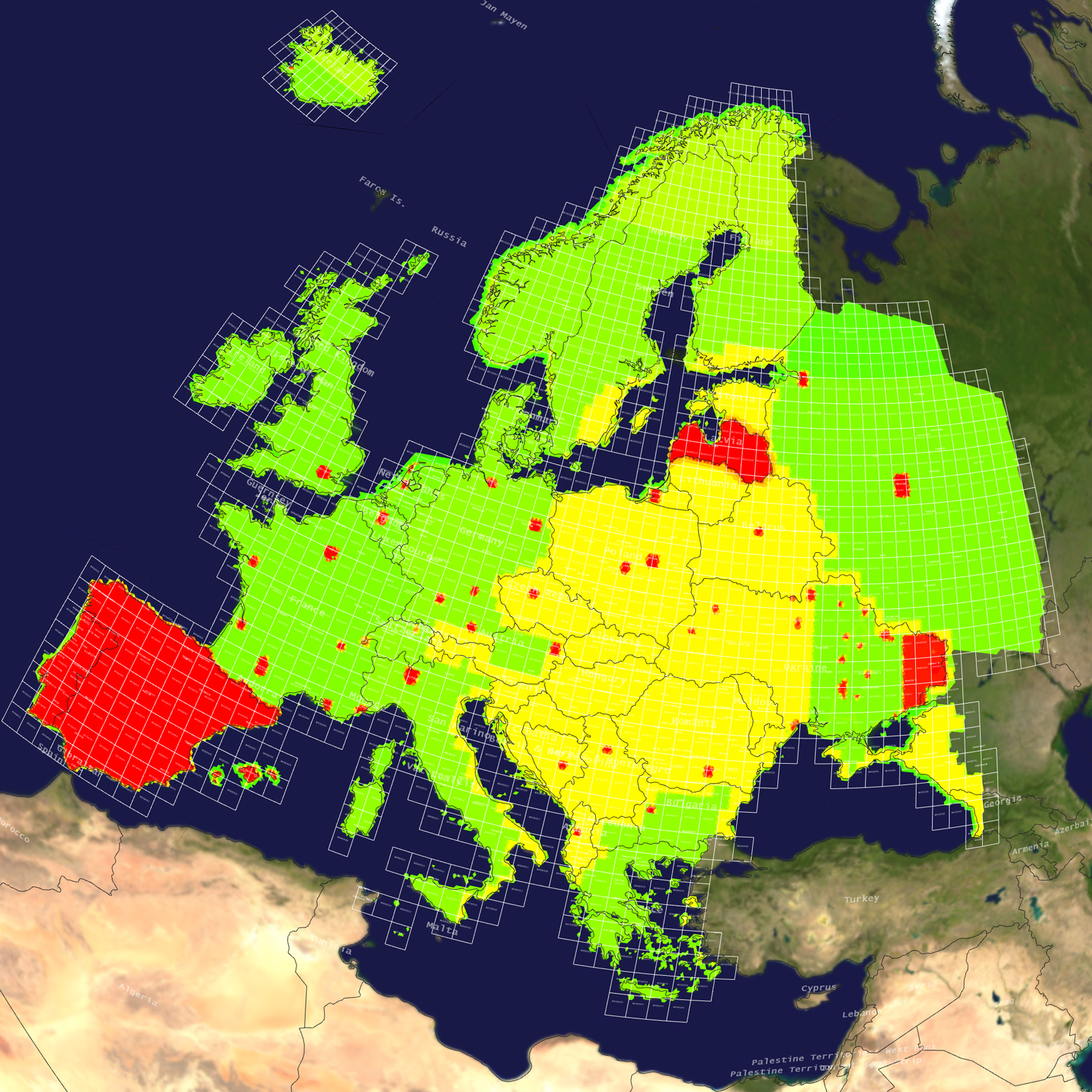
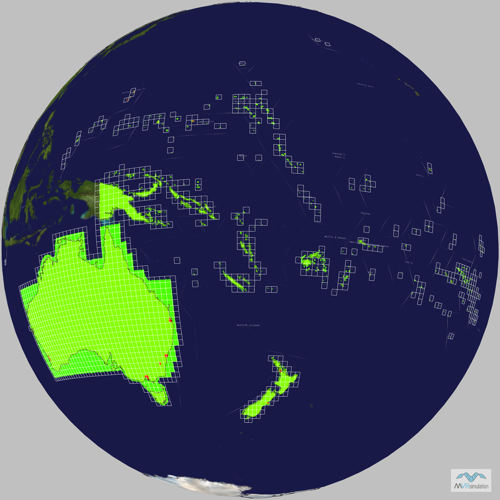
Tile Coverage Map
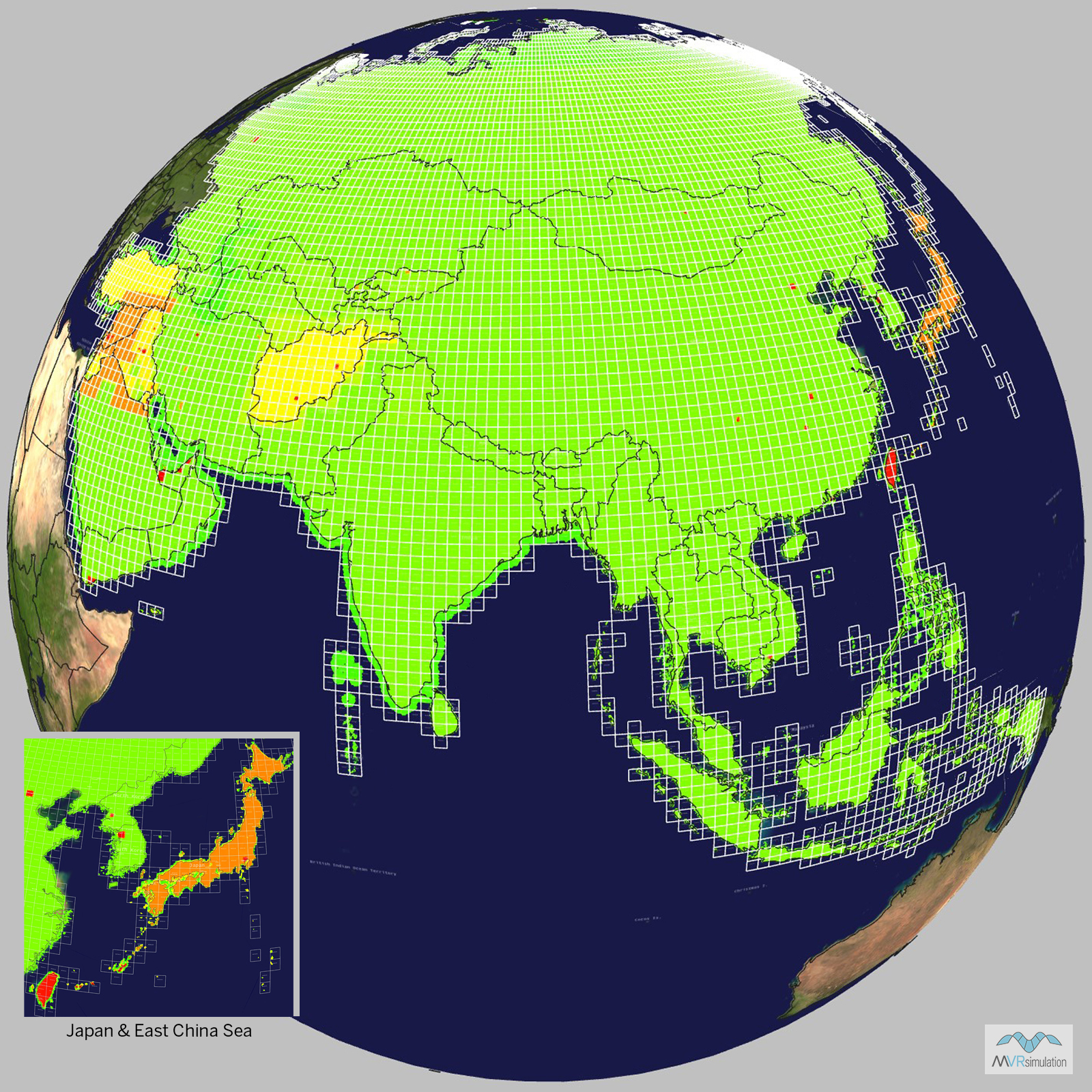
Terrain Database Information
- Imagery: 15mpp base imagery with higher resolution insets
- Elevation: SRTM 3 arc-second (=90m) elevation data with higher resolution insets
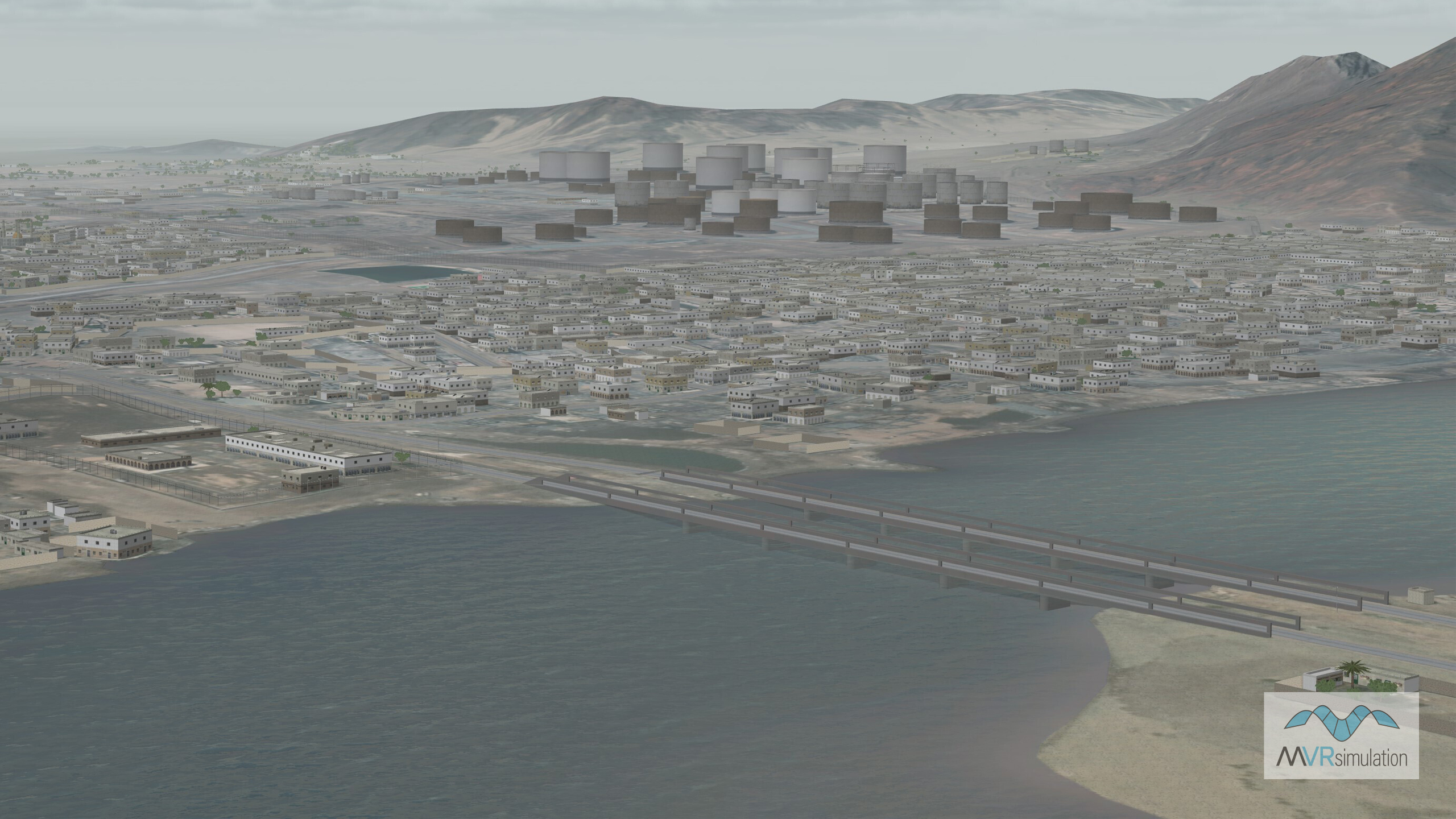
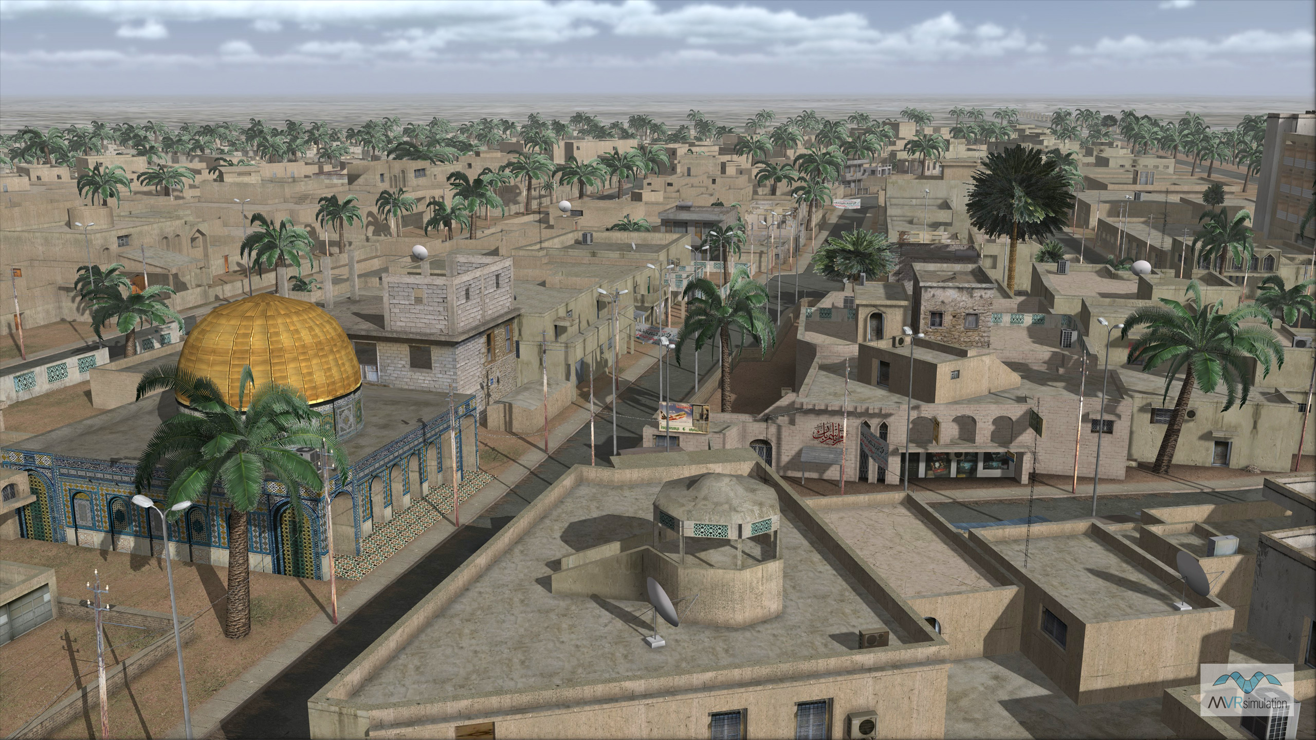
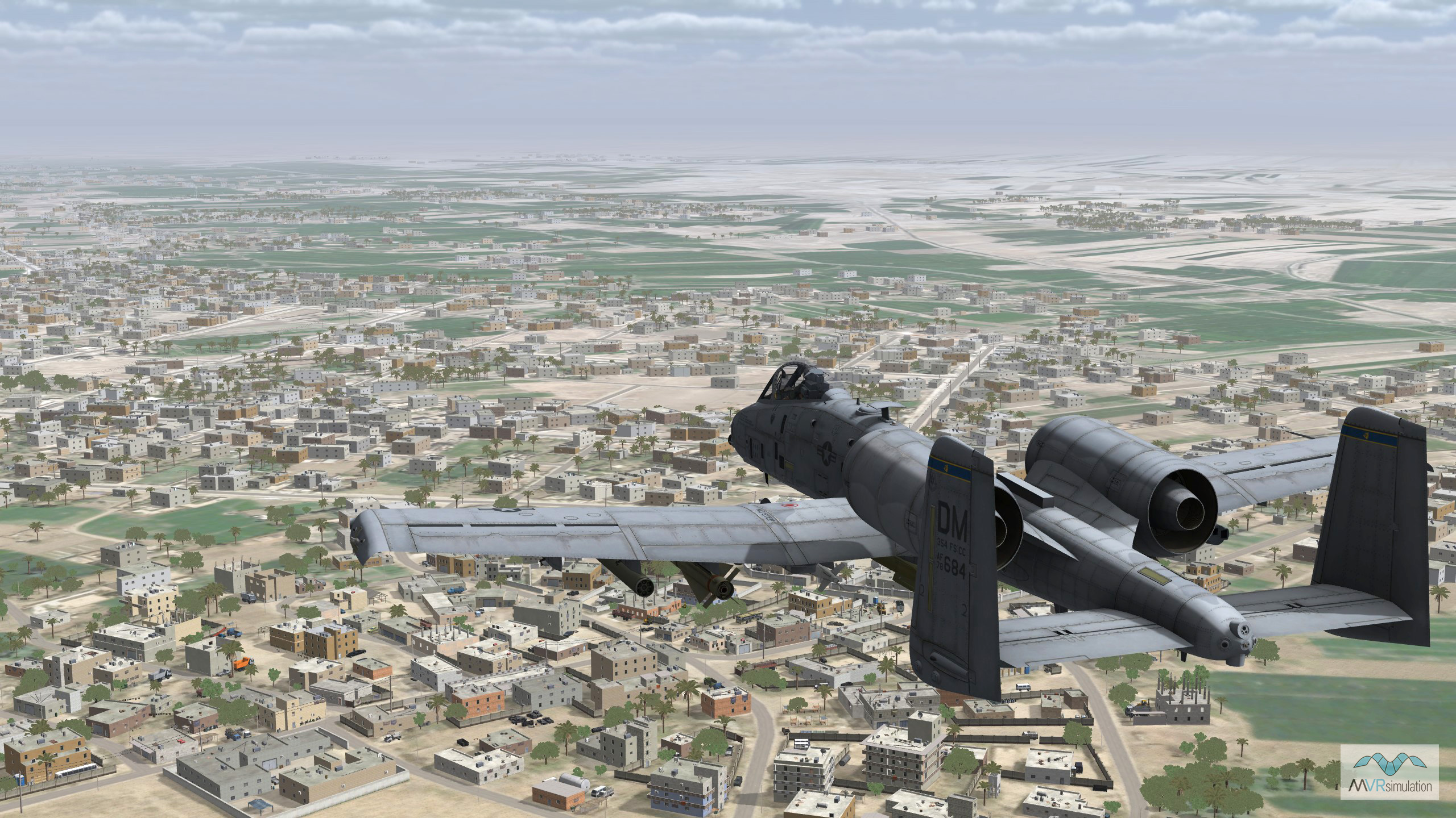
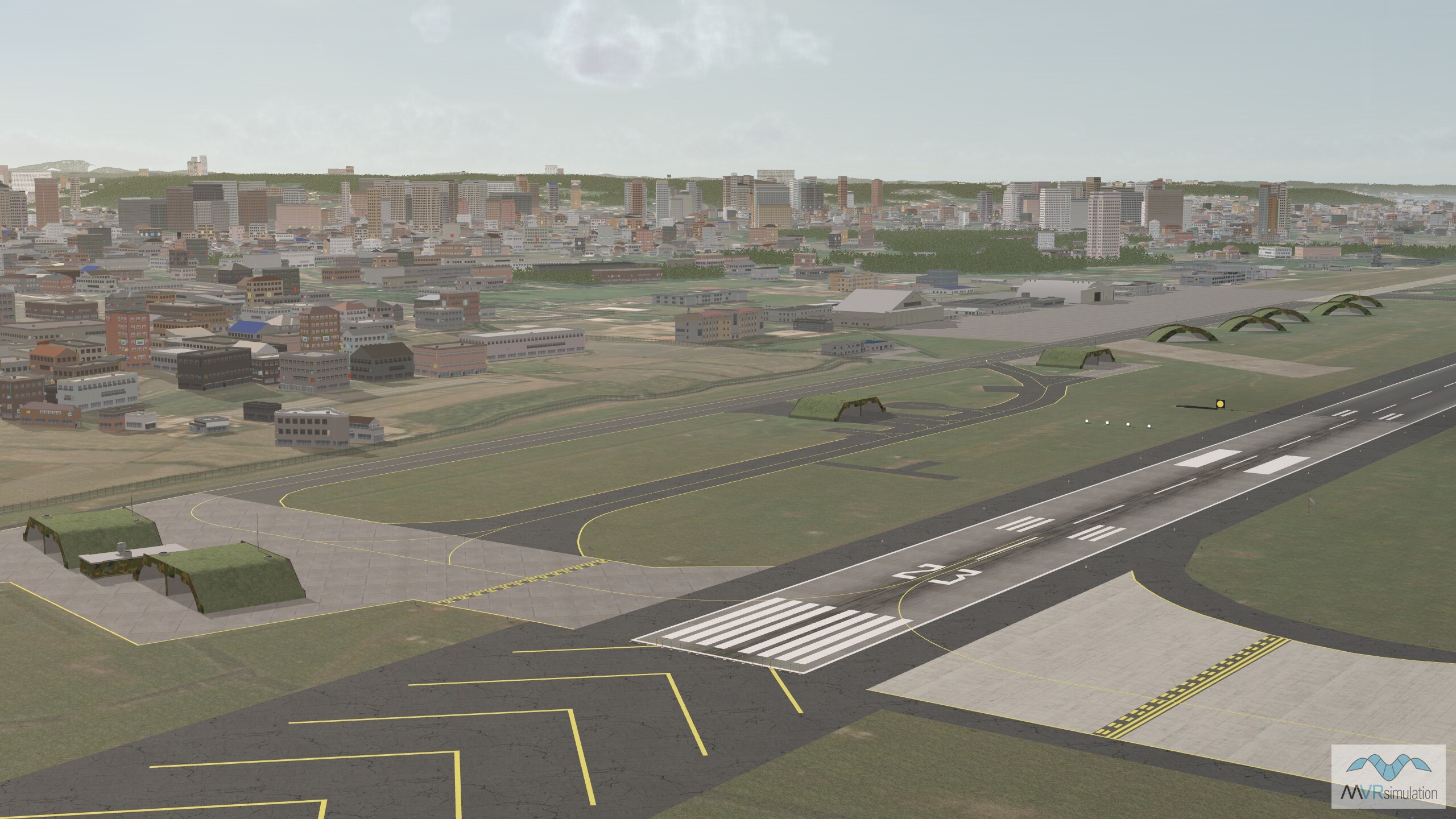
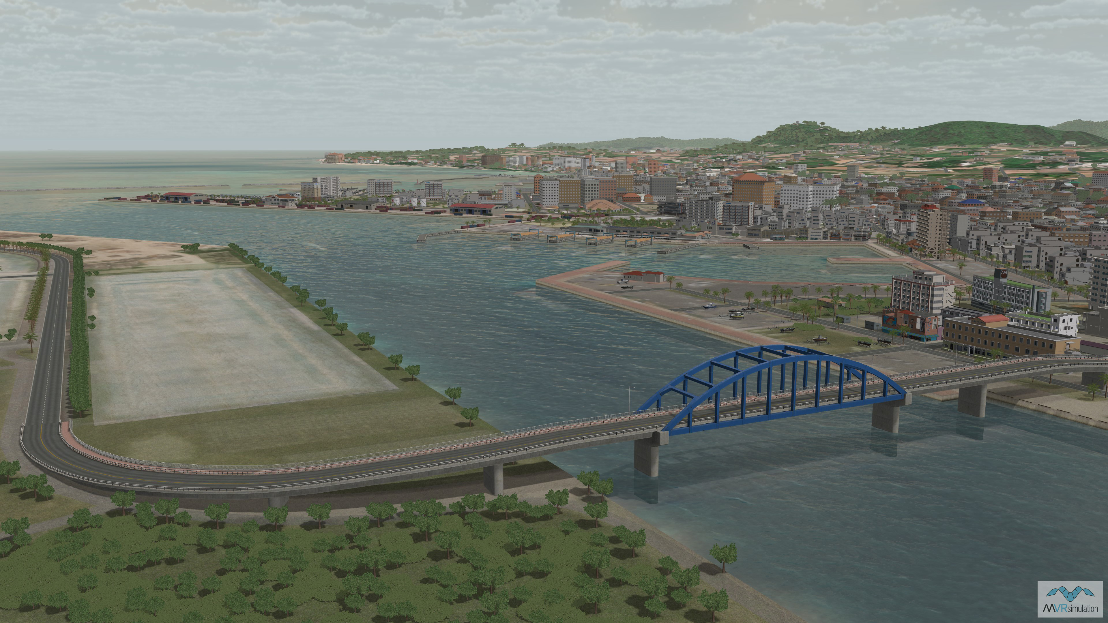
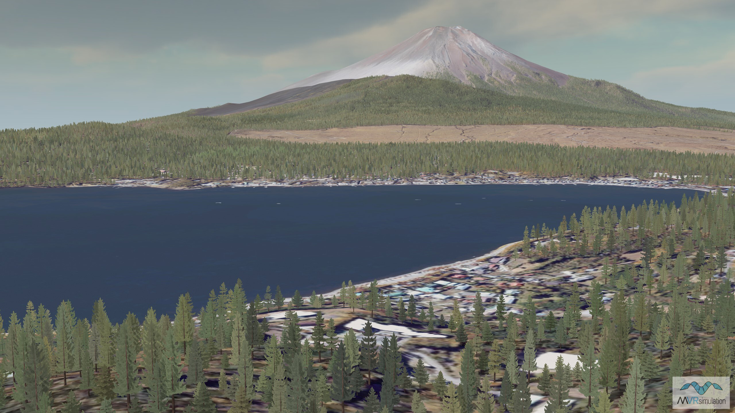
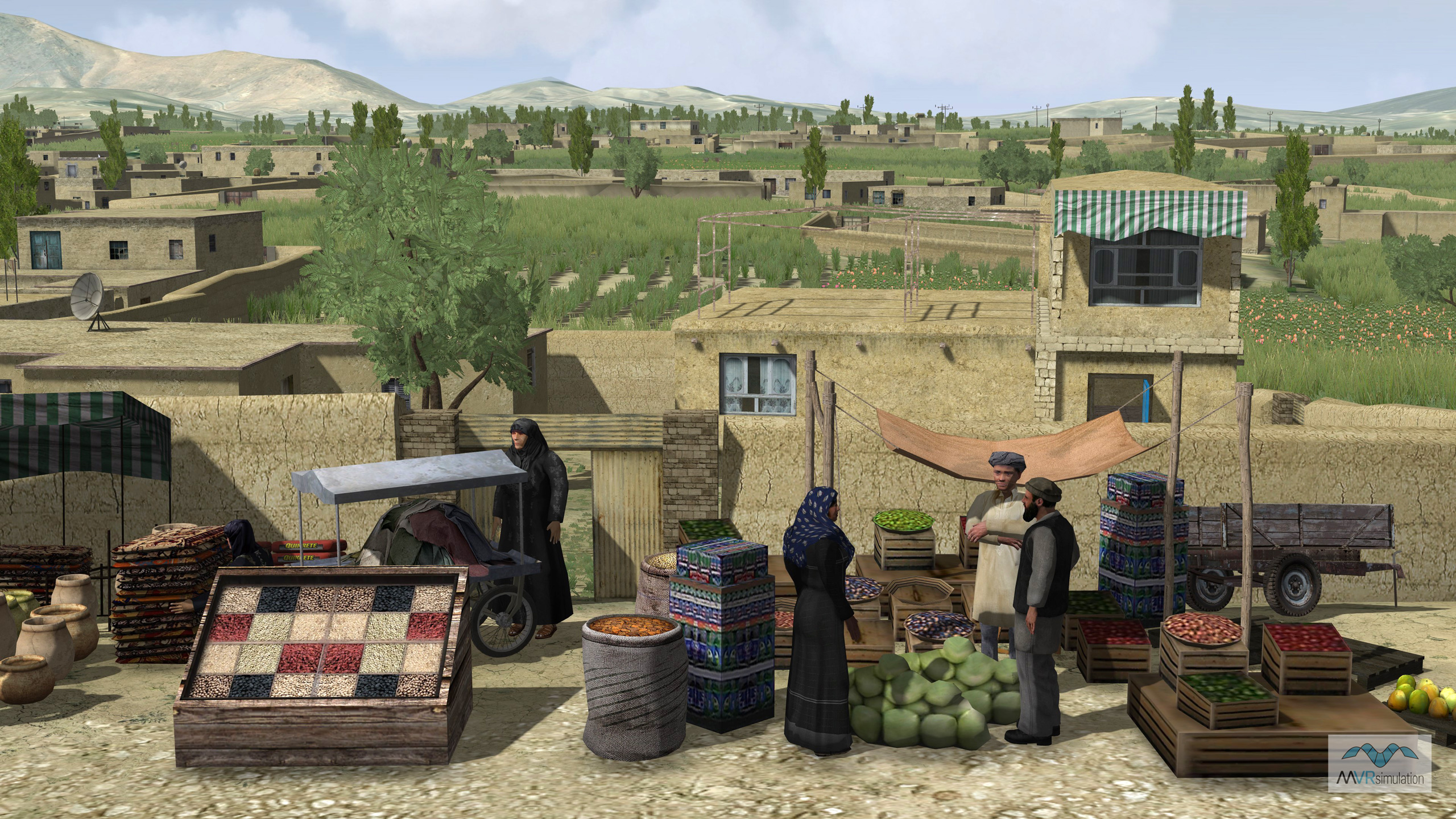
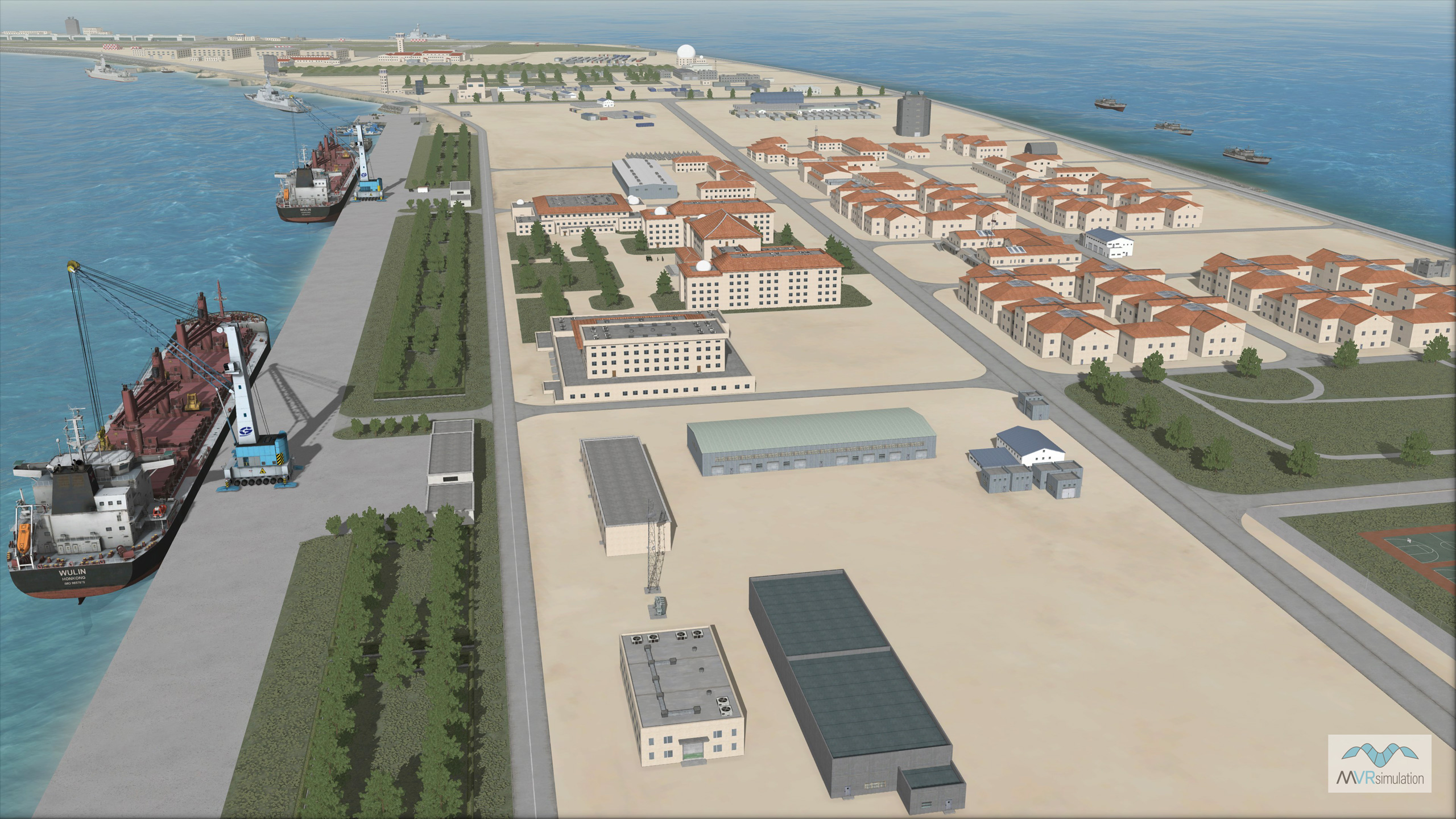
- Terrain Drive: Asia & Middle East
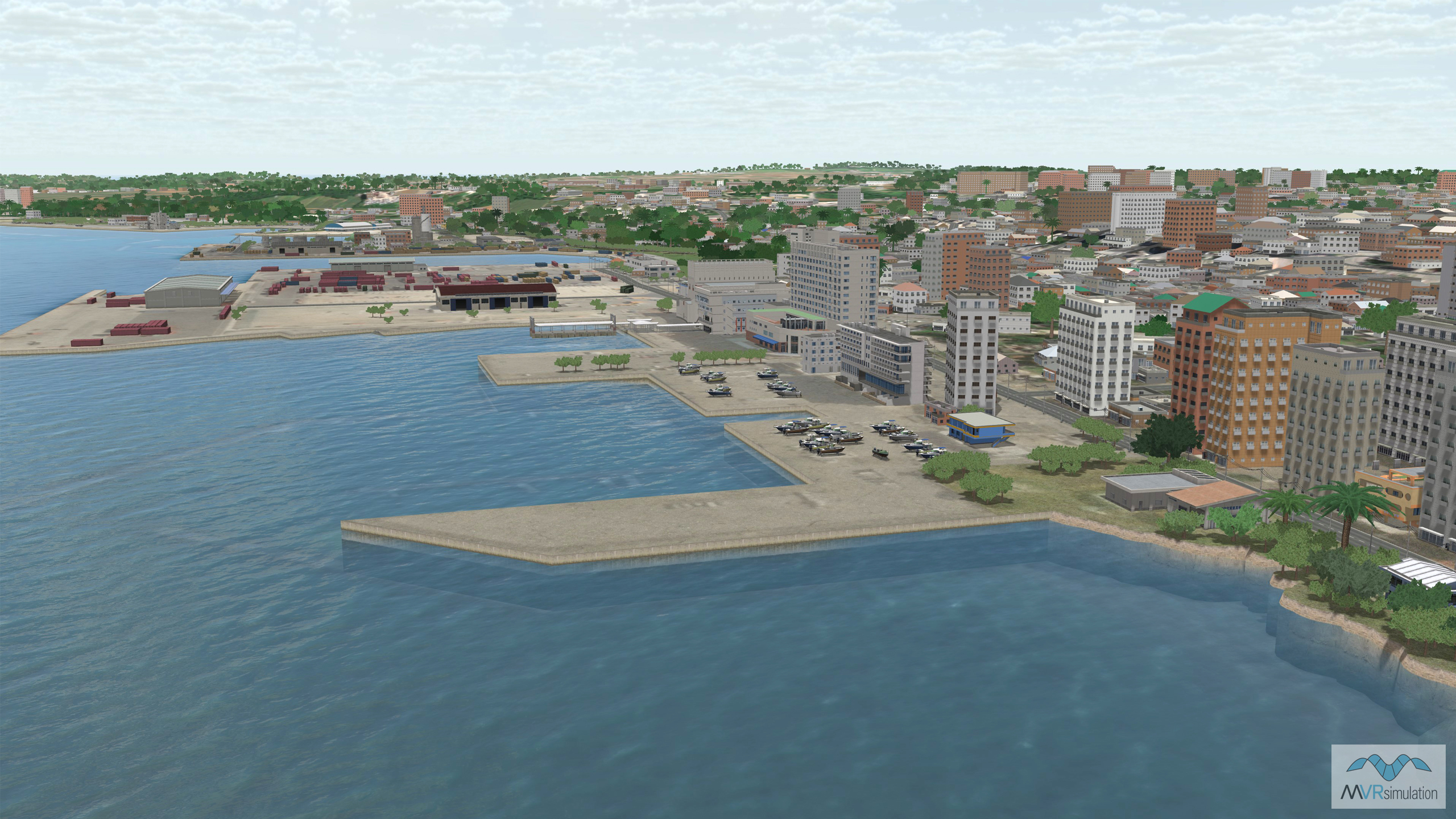
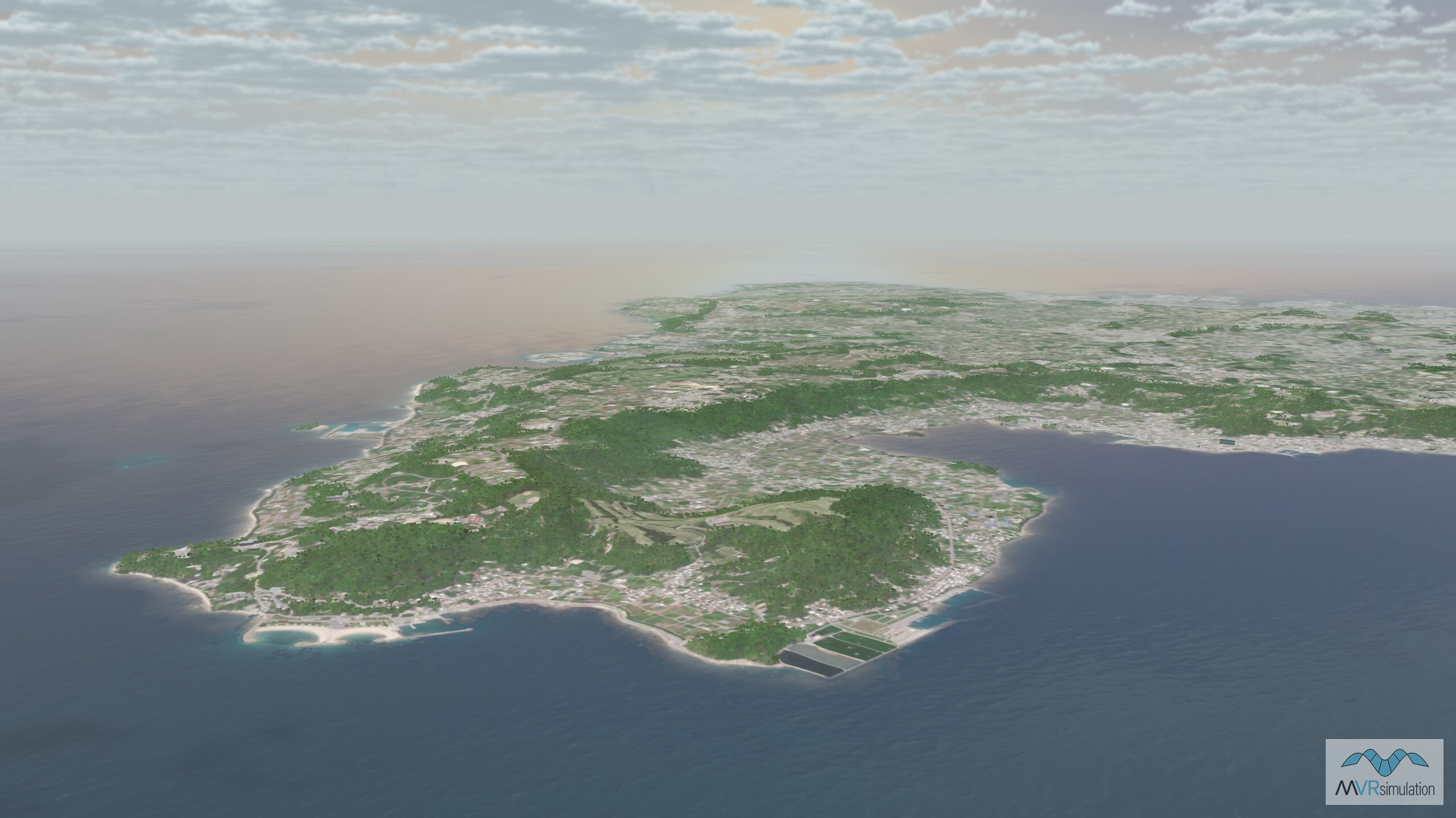
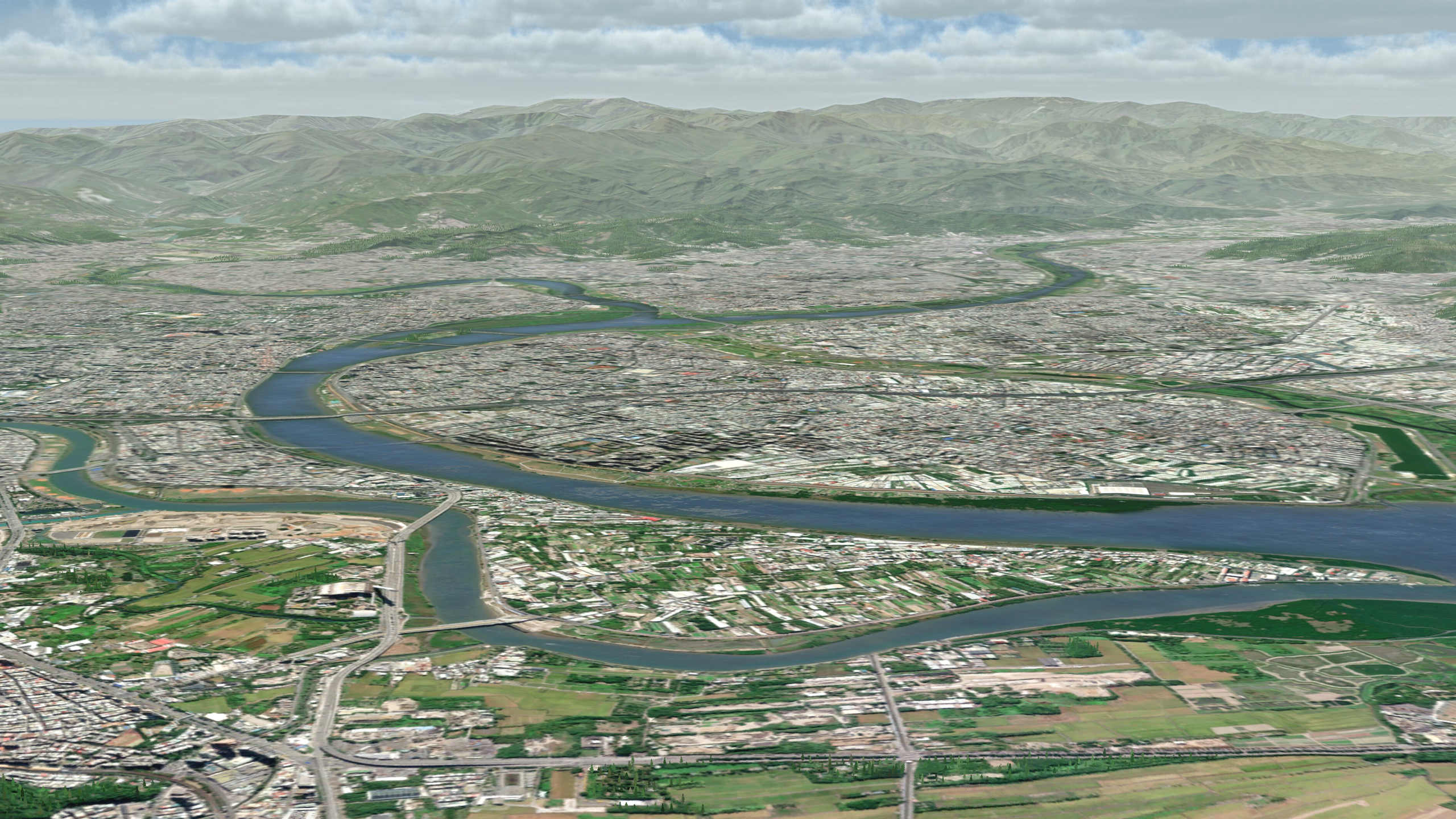
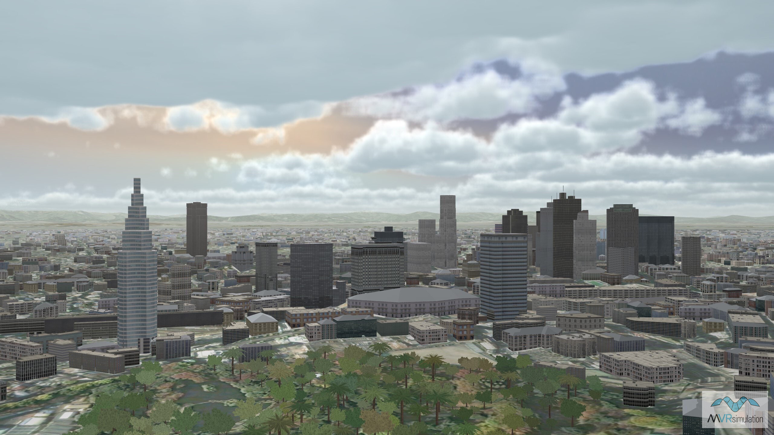
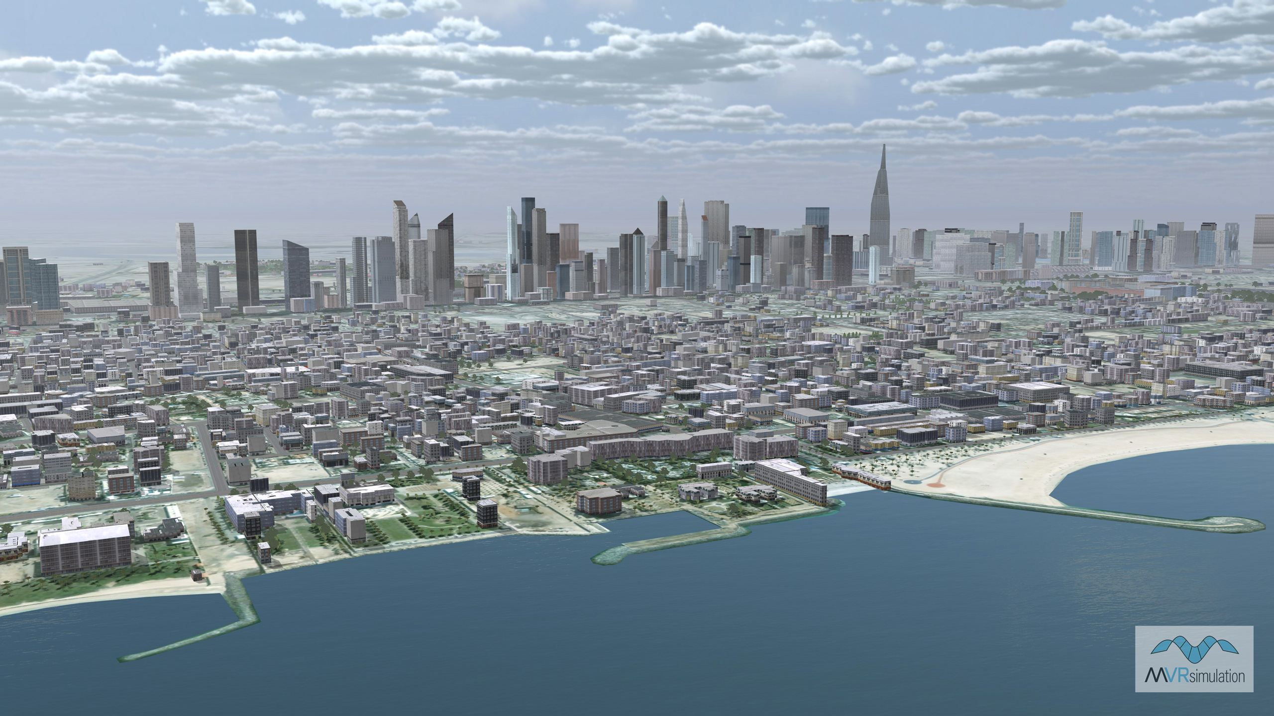
Natural color high-resolution insets with 60cm imagery
Basrah, Kabul province, and Kandahar, Afghanistan; Yerevan, Armenia; Baku, Azerbaijan; Beijing, Changsha, Chongqing, Hong Kong, and Wuhan, China; Tbilisi, Georgia; Isfahan, Mashhad, Shiraz, Tabriz, and Tehran, Iran; Baghdad, and Kirkuk, Iraq; Osaka and Tokyo, Japan; Bishkek, Kyrgyzstan; Ulaanbaatar, Mongolia; Pyongyang, North Korea; Seoul, South Korea; Kaohsiung City, Taiwan; Ashgabat, Turkmenistan; Ankara and Istanbul, Turkey; Abu Dhabi and Dubai, United Arab Emirates; Tashkent, Uzbekistan; Ho Chi Minh City, Vietnam.