Environment and Weather Effects
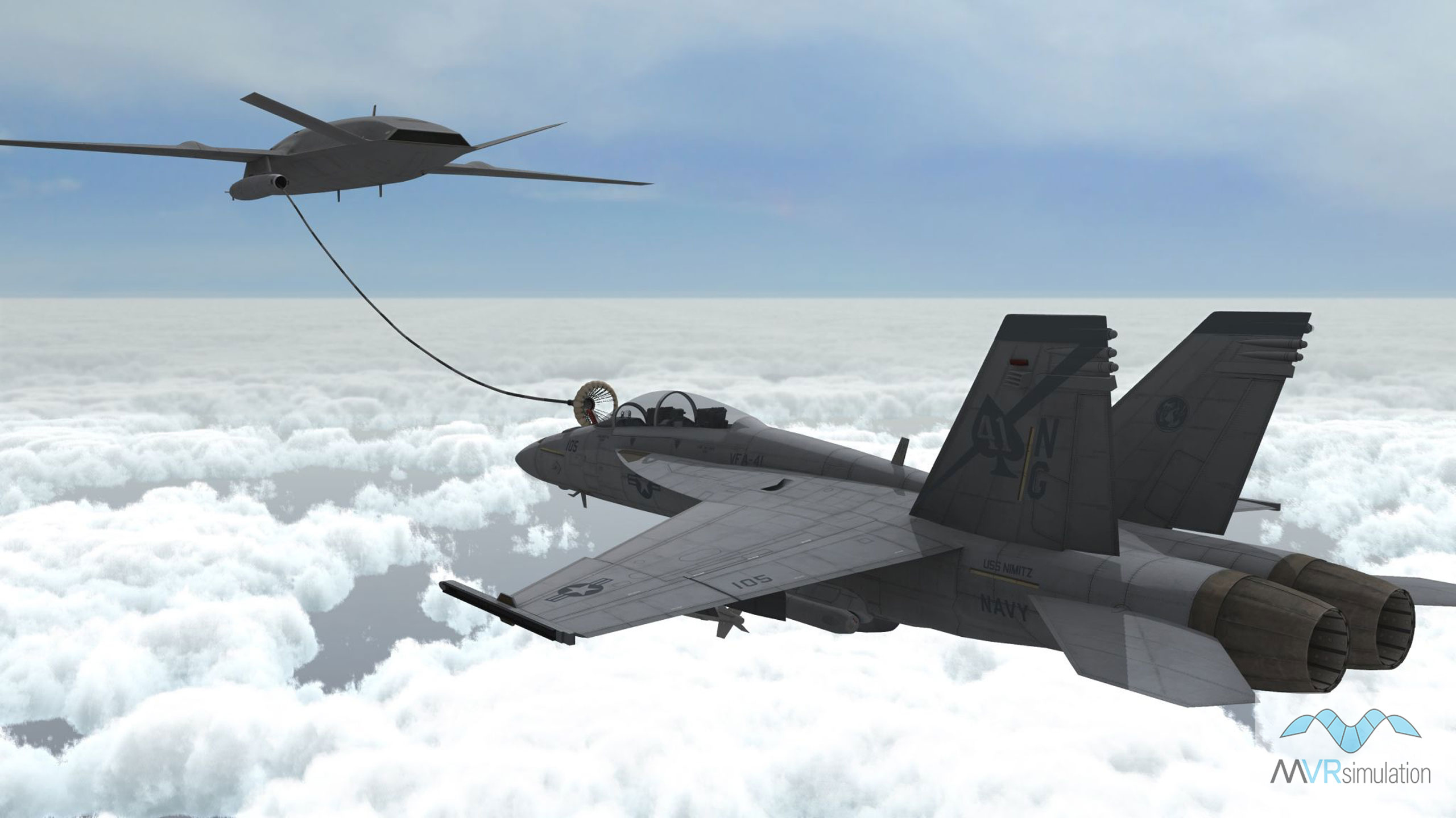
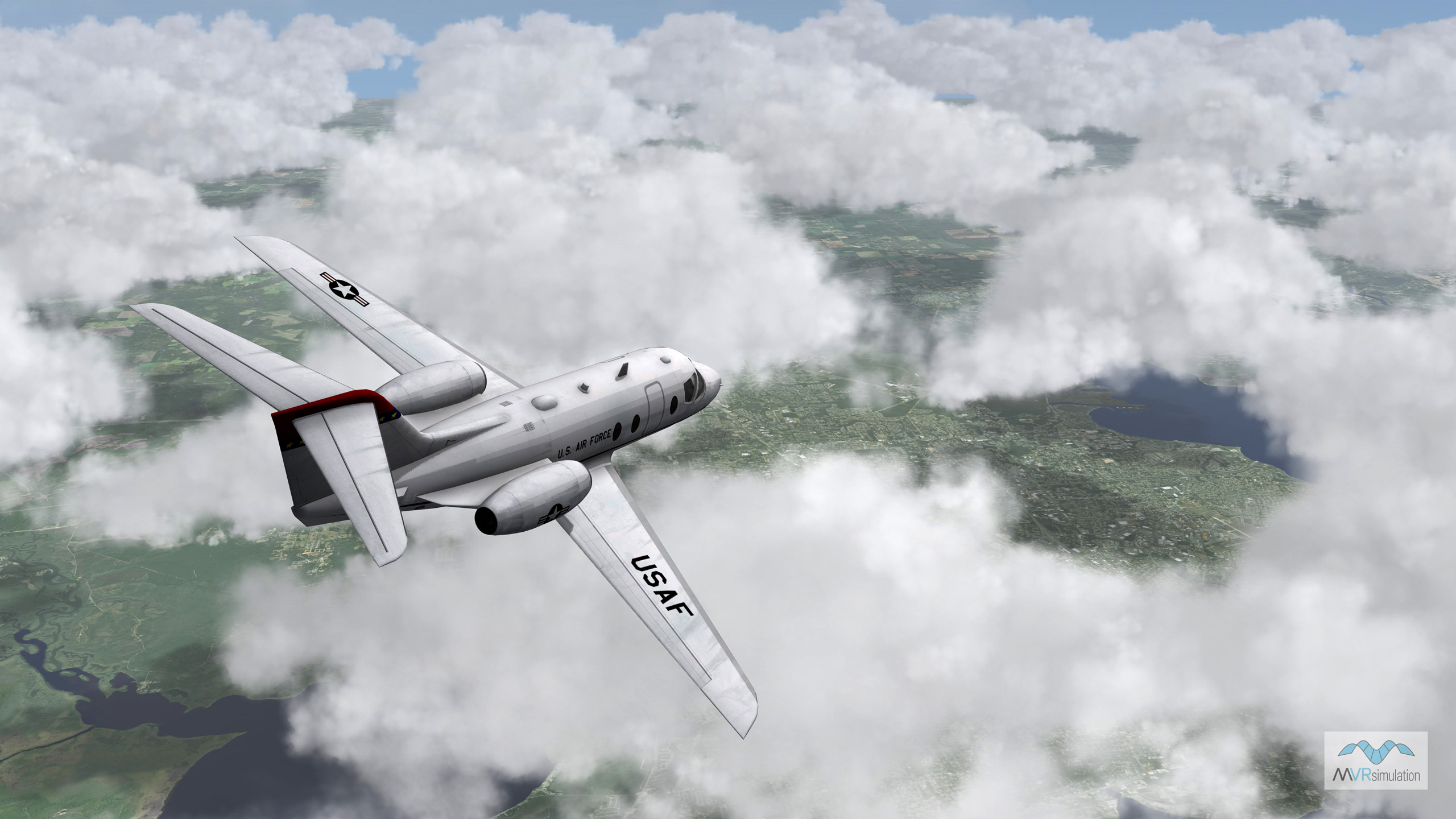
MVRsimulation VRSG supports environment and weather effects such as:
- Multiple atmospheric layers, ground fog, and haze.
- Sun angle-dependent haze color and density.
- Time options for setting the position of any celestial bodies in the sky and the light source angles.
- Multiple sky model options, which blend with the selected fog color as the sky merges with the horizon.
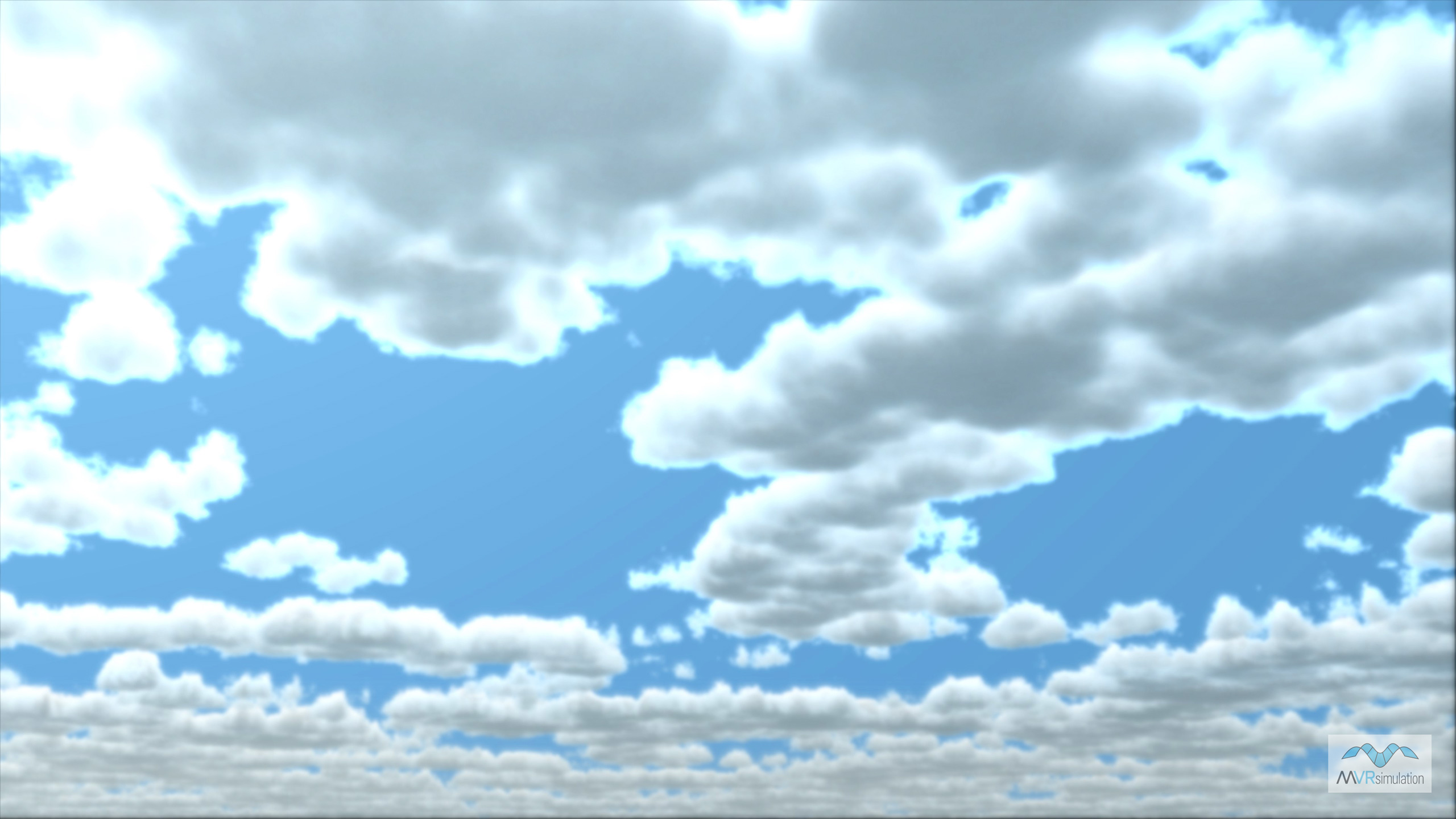
- Volumetric ray-traced cloud system, which supports two cloud layers, continuously variable coverage from 0% to 100% fully overcast, and global coverage for layers controlled by the Dashboard, CIGI, or DIS interfaces.
- 3D ocean sea states, wave motion and wakes, vessel surface motion, accurate environment reflections.
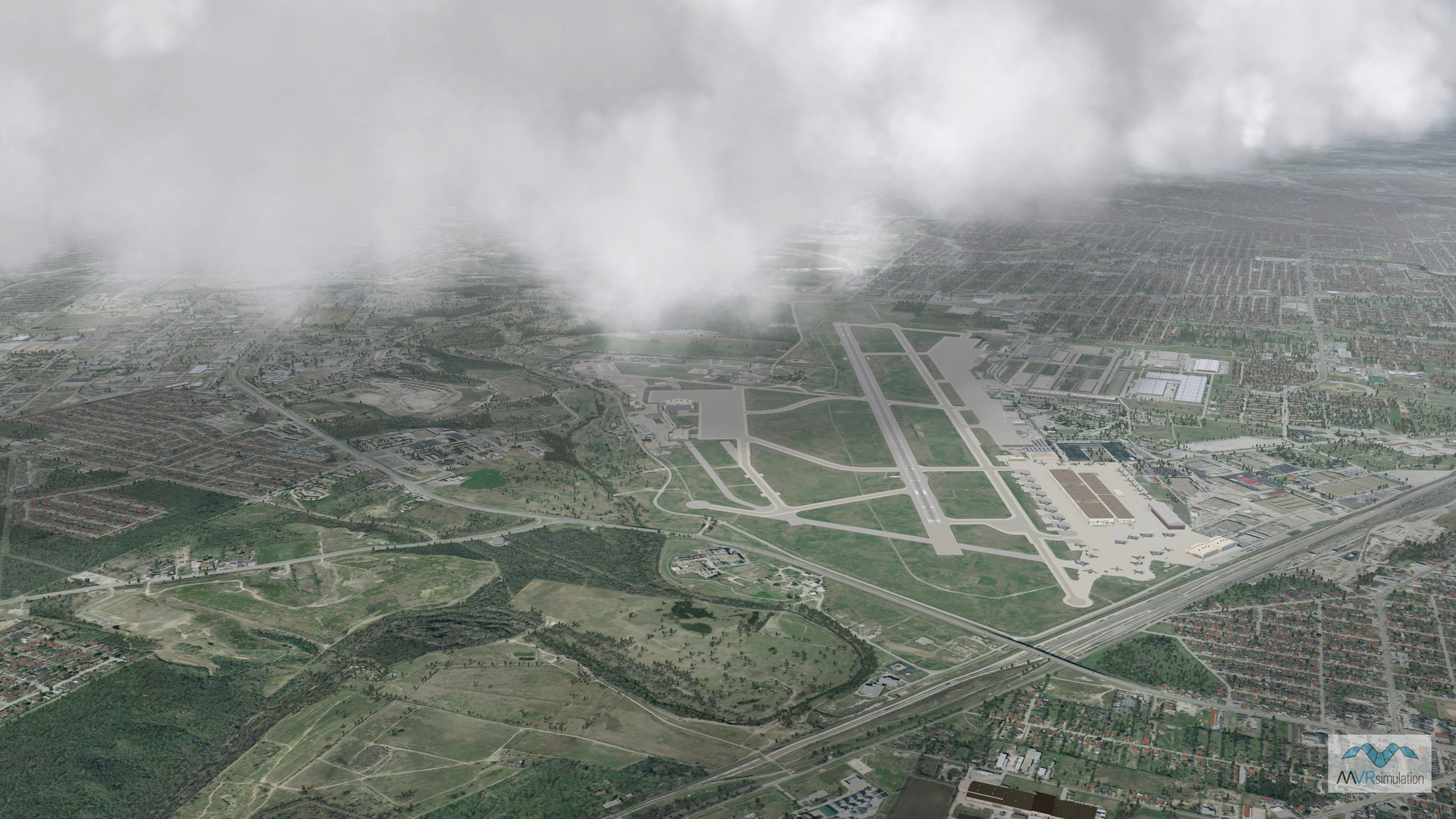
- Use a set of latitude and longitude points to describe a weather region in the form of a geodetic polygon that specifies override coverage for the region, as well as optional precipitation effects. Weather polygons can be given speed and directions, allowing them to automatically move over time without direct intervention by the simulation.
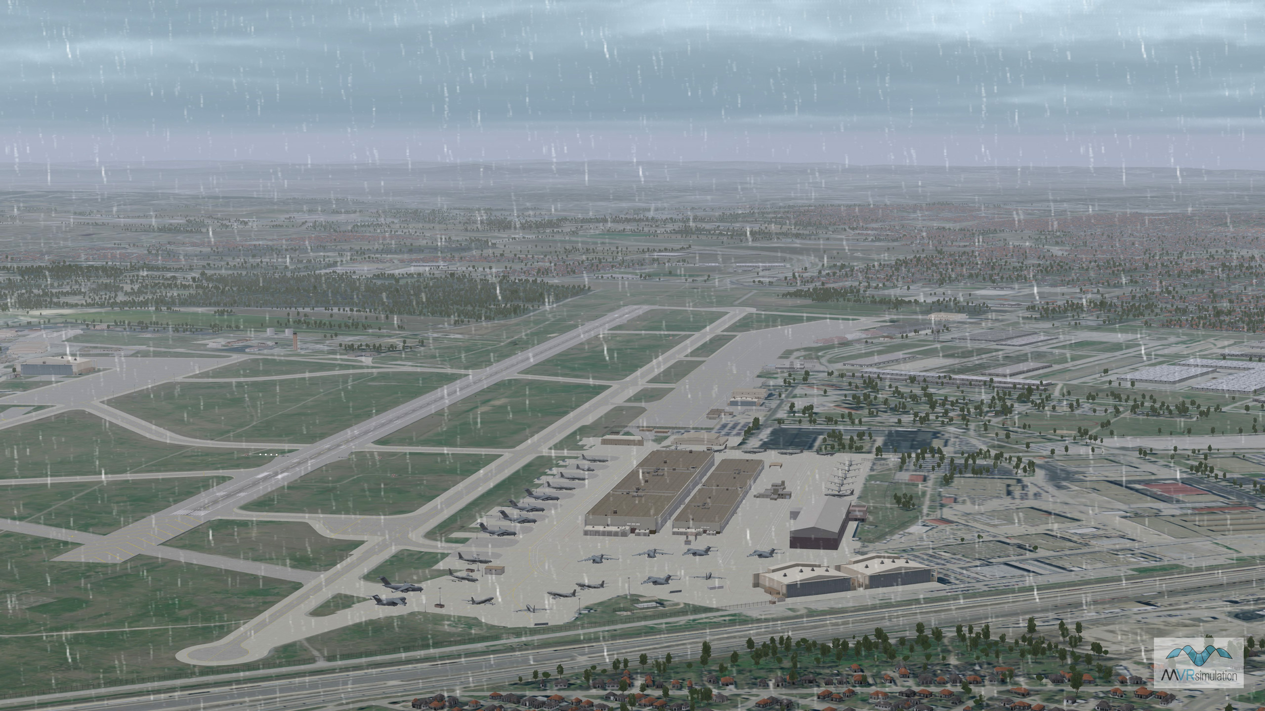
VRSG real-time scene with rain.
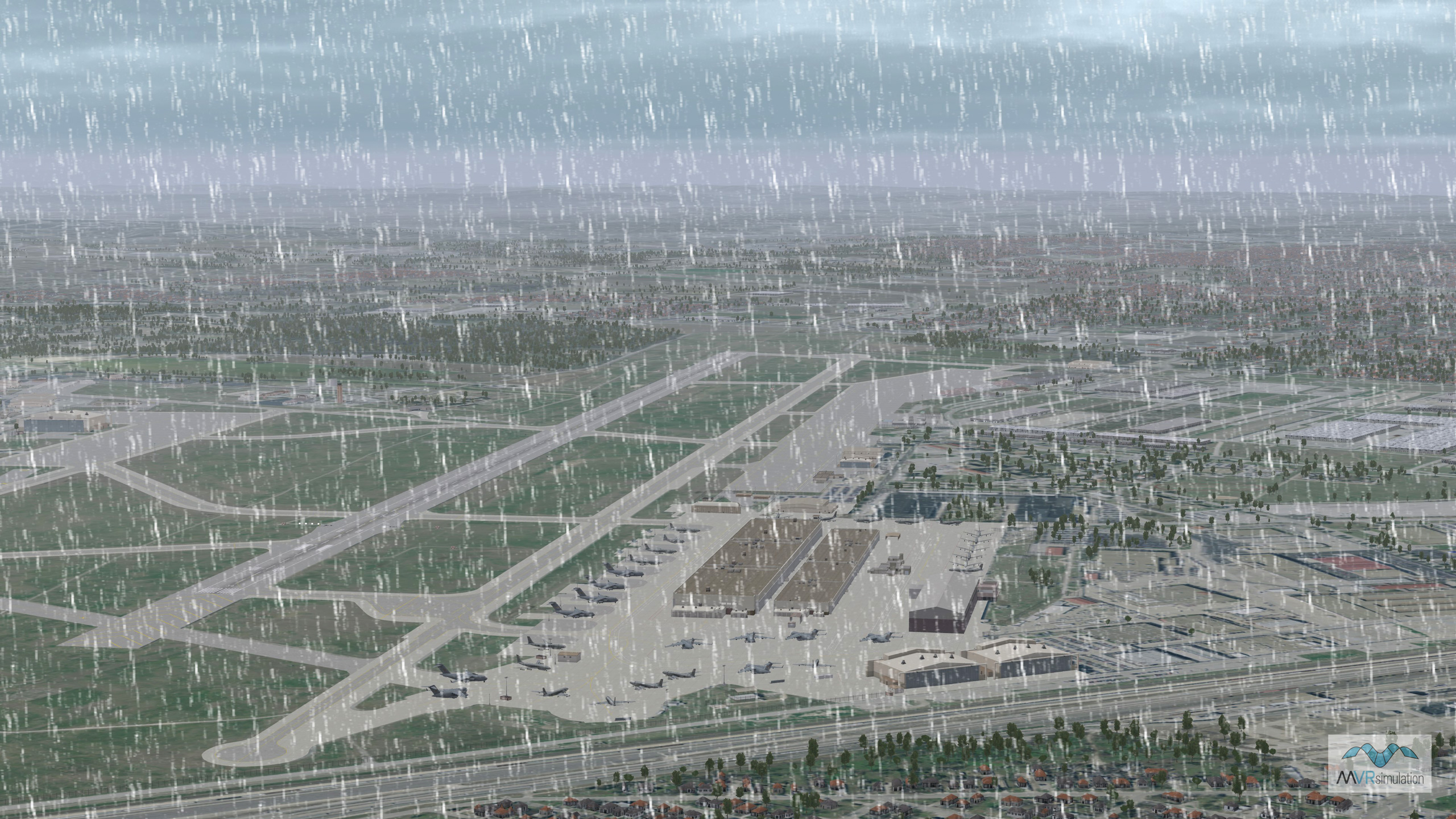
VRSG real-time scene with snow.
Lighting conditions
VRSG uses an ephemeris model to calculate sun position, moon position, star position, and moon phase from date, time, and geographic location. Lighting conditions can also be automatically calculated from date, time, and geographic location. A 40,000 light-point star field can be used for night scenes. Users can also provide a custom star field pattern with positions and intensities via a lighting table (.csv file).
VRSG’s high-fidelity particle-based multi-layer atmospheric model provides continuous variable visibility as a function of altitude and earth curvature of atmospheric layers.
Clouds
With CIGI or DIS SetDataPDUs, users can instantiate multiple volumetric clouds from our library of over 13 cloud models. A cloud can be positioned, oriented, scaled, and moved over time. Volumetric clouds are particle masses that model light absorption, creating a realistic reduction in visibility when flown through. VRSG features a real-time dynamic lighting model for clouds that models light absorption as a function of particle depth into the cloud along the line-of-sight to the sun. Clouds can have an optional precipitation effect modeling either rainfall or snow. The precipitation effect is also a volumetric mass extending from the cloud base through ground level, creating a realistic reduction in visibility during flight. The rain or snow precipitation effect is generated dynamically, so it can be applied to any cloud instance, at any cloud altitude.
Dynamic weather conditions
VRSG v7 introduced the ability for users to train for unpredictable weather events at significantly higher fidelity. UAV operators, pilots – even operators on the ground - are often faced with evolving and dynamic weather conditions. A lightly scattered cloud cover may be in the forecast, but a region of overcast or a storm may develop, obscuring visibility of the objective area. Trainees must learn to adapt to these unexpected conditions and be prepared with contingency plans should weather conditions deteriorate.
Effective training systems must use an image generator capable of simulating these dynamic and evolving weather phenomena. The below video illustrates the dynamic and regional weather capabilities of VRSG 7. Using conventional weather control interfaces such as CIGI, global cloud coverage can be specified on a continuum between clear skies to complete overcast. The simulation can control the cloud layer altitudes and thicknesses in addition to the coverage factor. This global coverage may be given a speed and direction of movement. VRSG offers interfaces which allow a simulation to describe regionalized weather which override the globally-specified conditions. Using a set of latitude and longitude points, the simulation can describe a weather region in the form of a geodetic polygon. The weather polygon specifies override coverage for the region, as well as optional precipitation effects. Weather polygons can be given speed and directions, allowing them to automatically move over time without direct intervention by the simulation.
The video shows a global cloud coverage layer representing partial coverage. It has been given a speed and direction of movement lateral to the camera’s viewing angle. A weather polygon with precipitation layer has been defined and is moving towards the camera. You can see the effects of attenuated visibility beneath the weather region caused by the falling precipitation. Once the camera location falls inside the precipitation region, falling rain particles become visible to further enhance the sensation of being inside the storm system.
Celestial bodies
VRSG has time options with which it can set the position of any celestial bodies in the sky and the light source angles based on your settings for the date and time, and the database's geographic location. You can specify an explicit time or you can have VRSG obtain the time from your system's clock. In turn, the time setting sets the position of any celestial bodies in the sky, and can optionally override any light source angle setting. In addition, you can have VRSG advance the time in the scene as in the manner of a clock, thus shifting the positions of celestial bodies and light source angles in the virtual world with the progression of time.

