3D Replicas of Ranges
Virtual Replicas of Real-world Training Sites
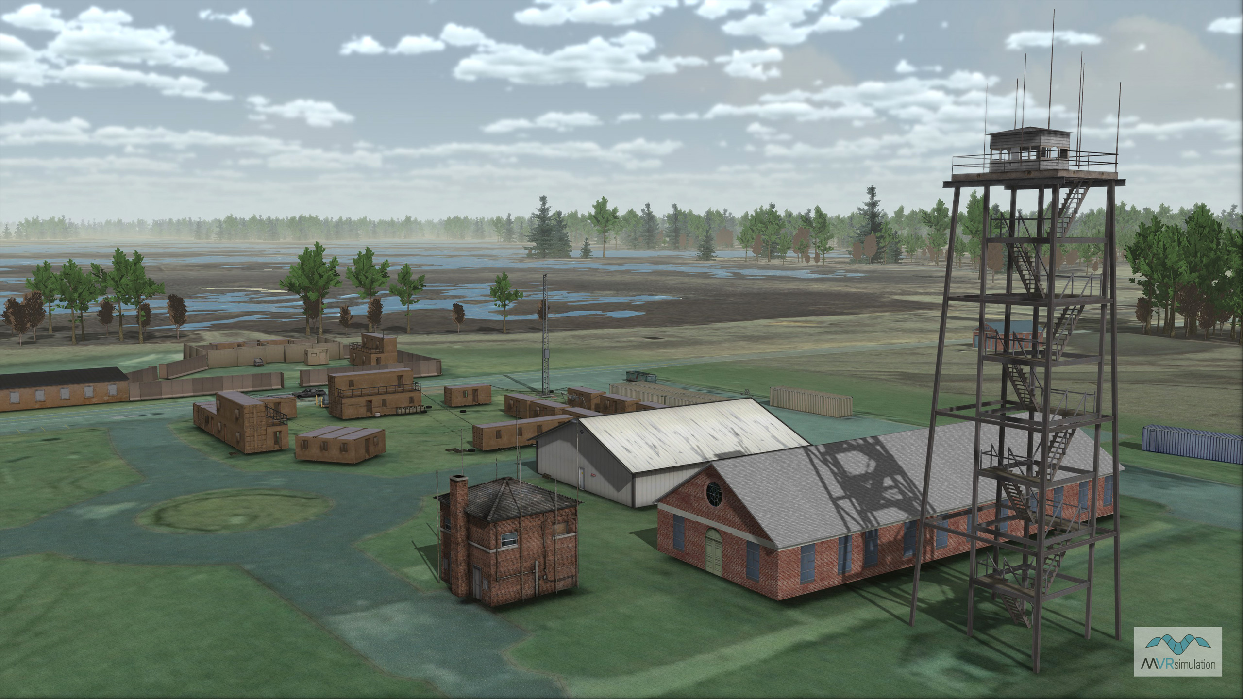
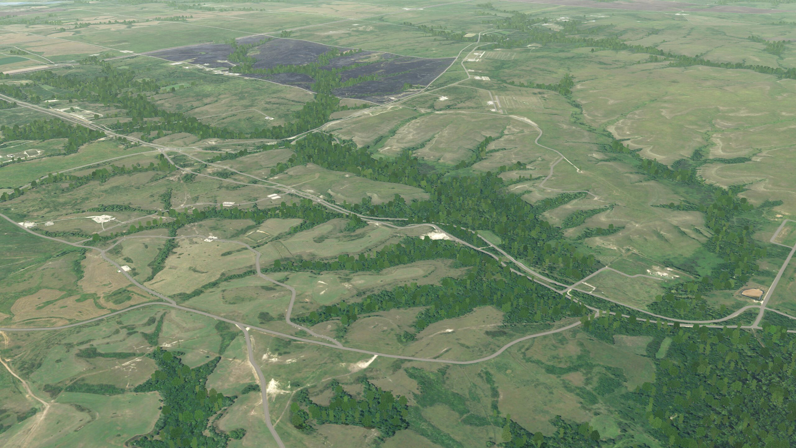
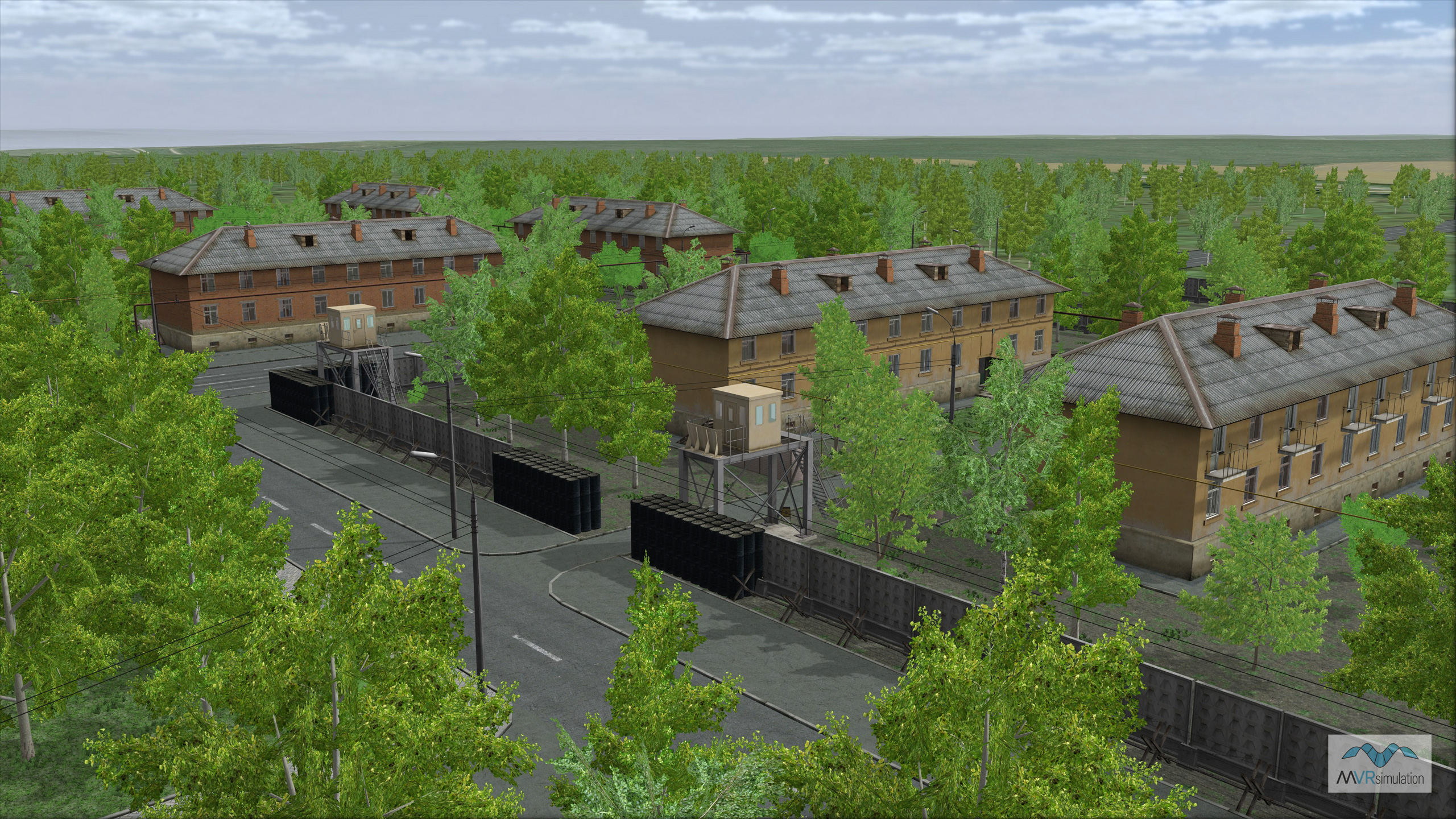
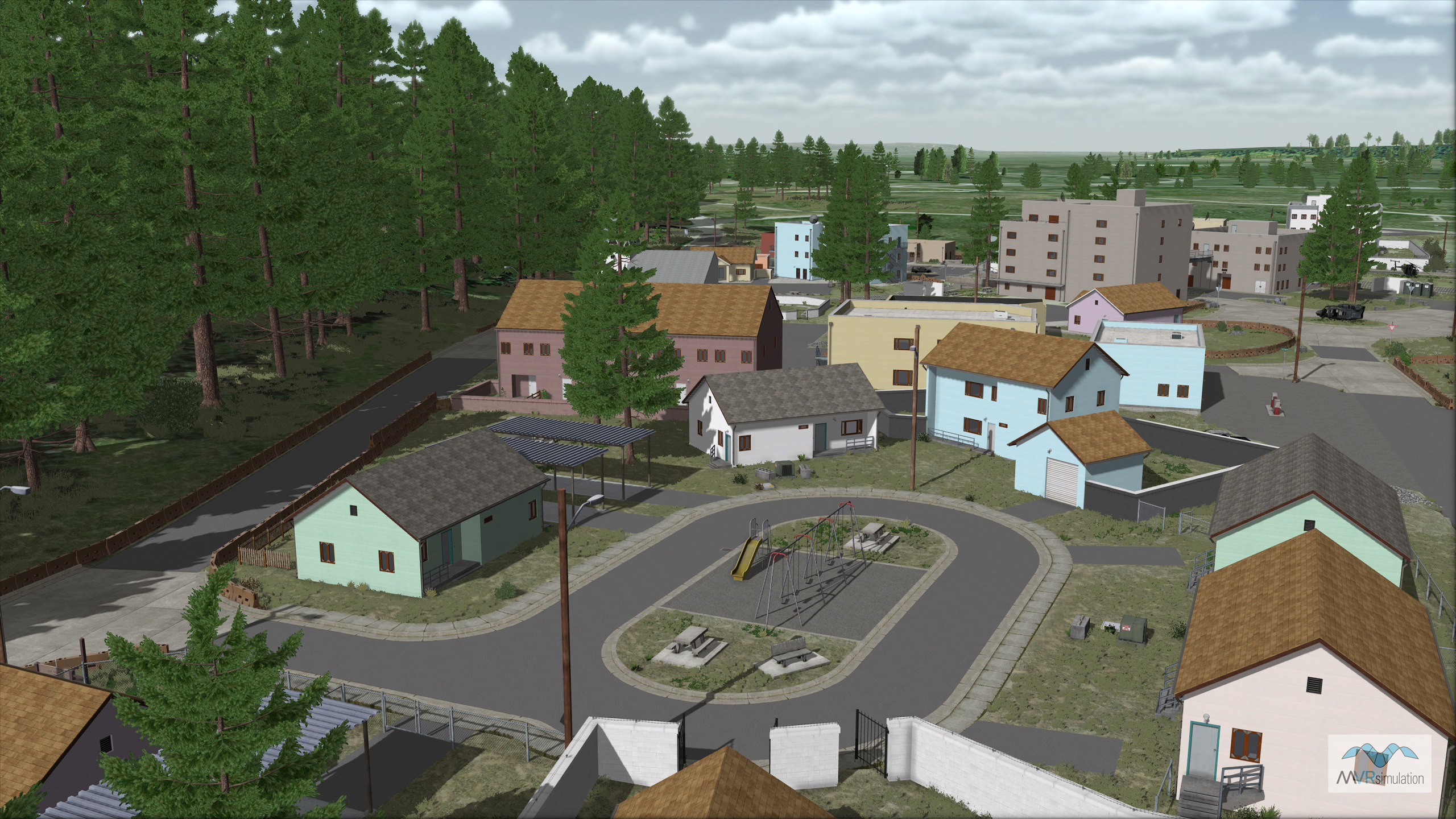
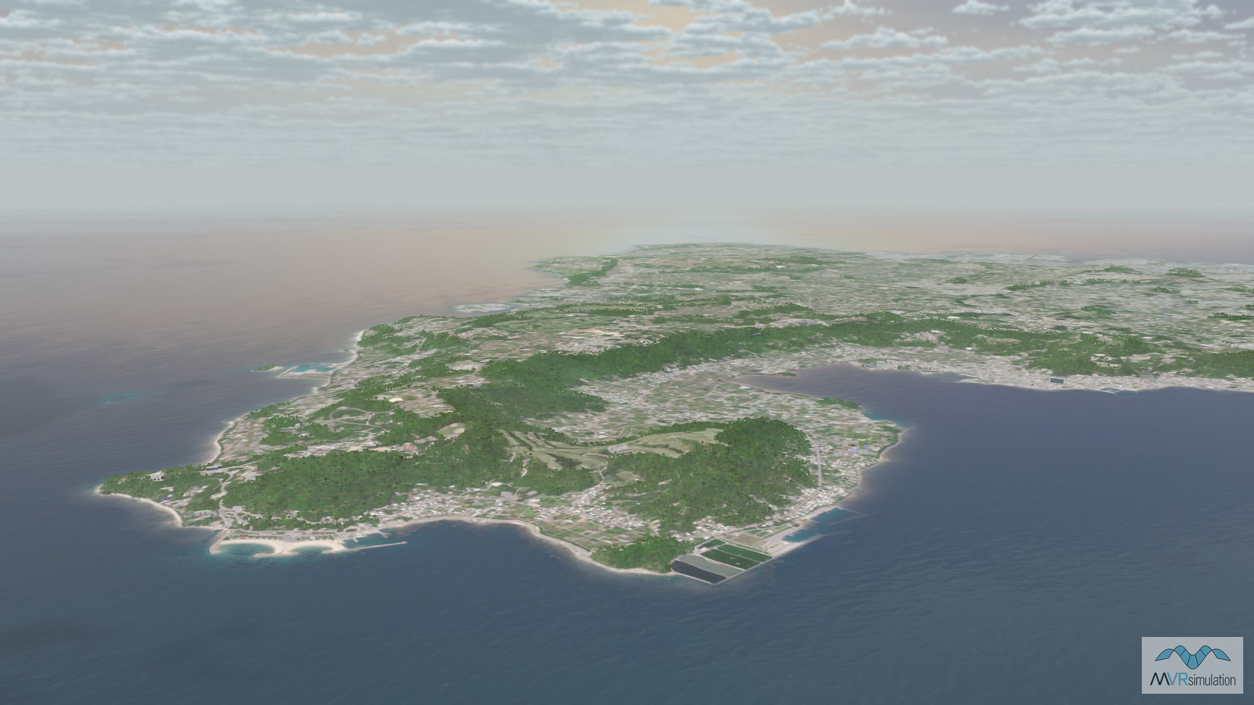
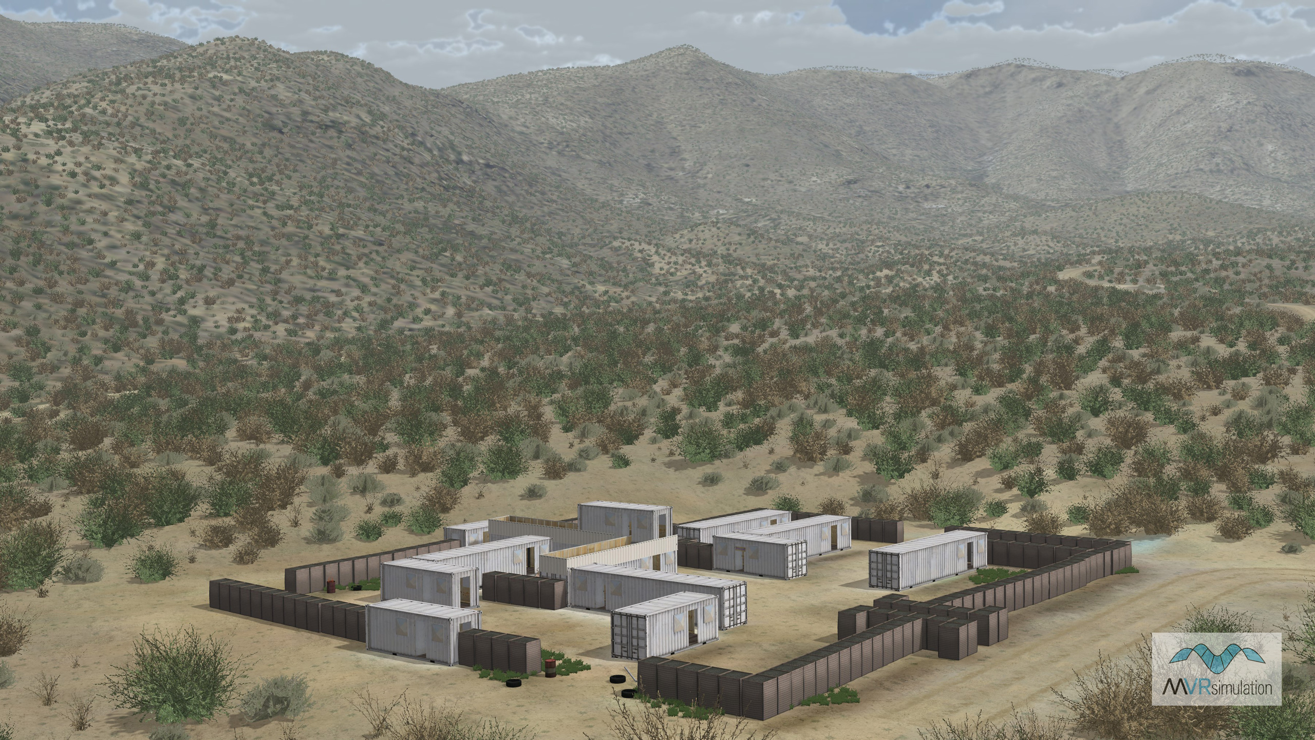
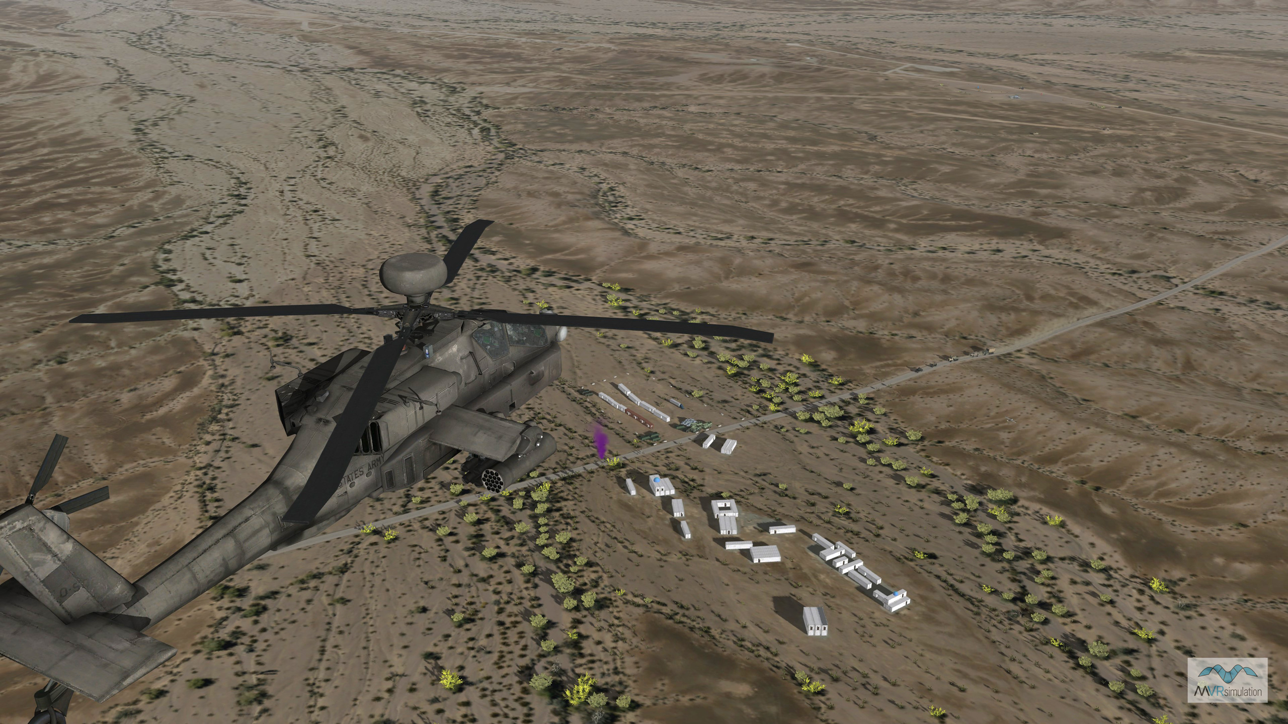
MVRsimulation has built a number of geospecific 3D replicas of training ranges for rendering in Virtual Reality Scene Generator (VRSG). All were built in MVRsimulation’s round-earth VRSG terrain MVRsimulation’s Terrain Tools for Esri® ArcGIS®.
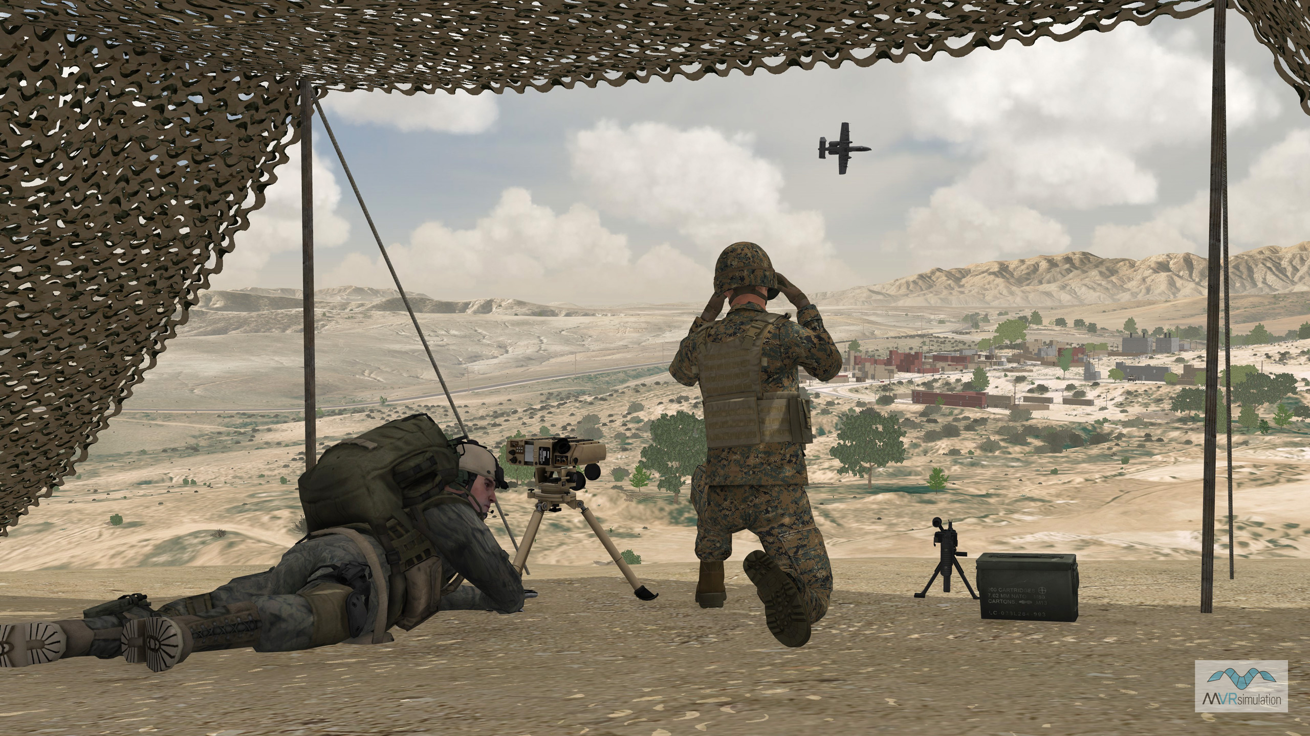
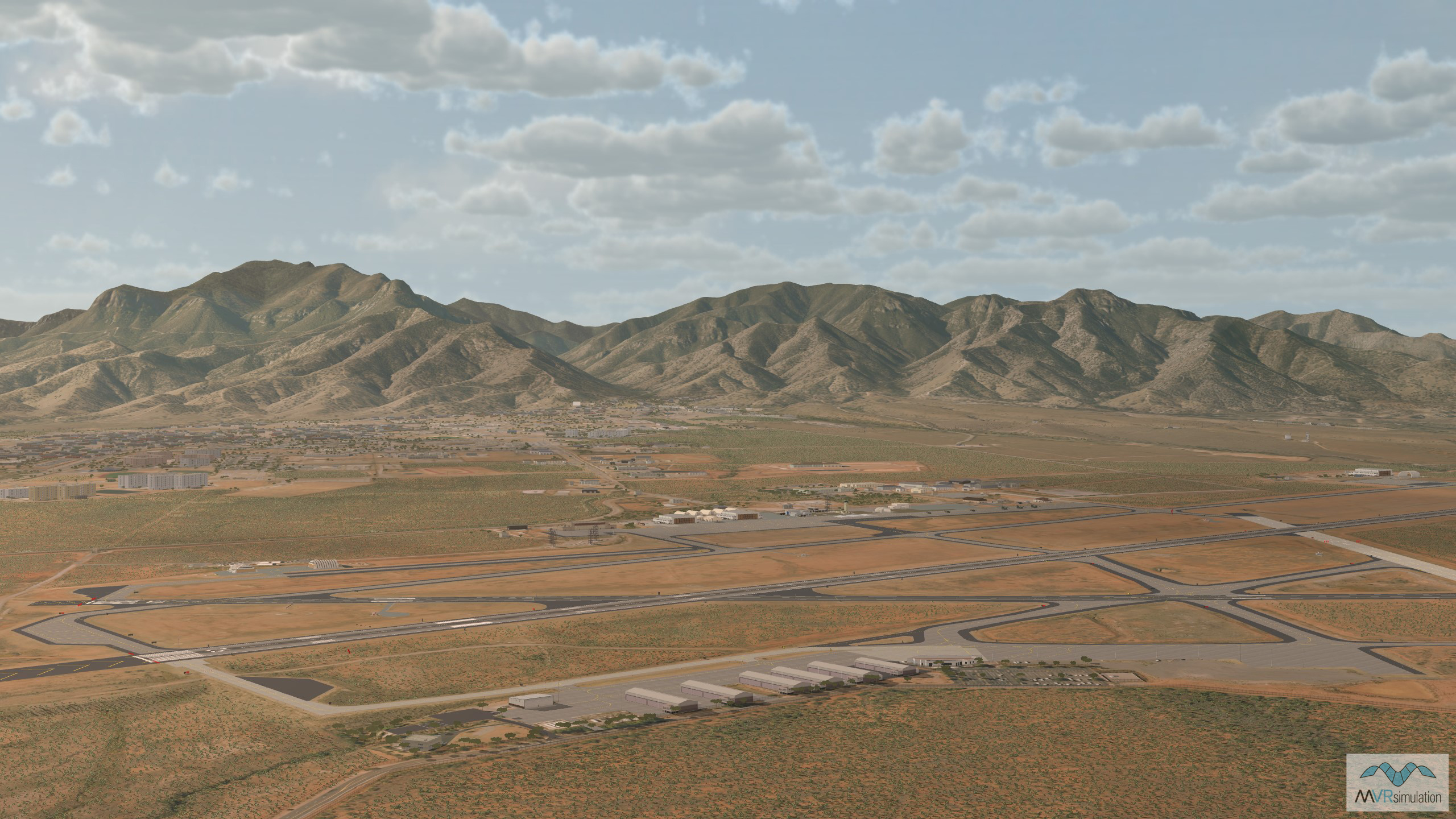
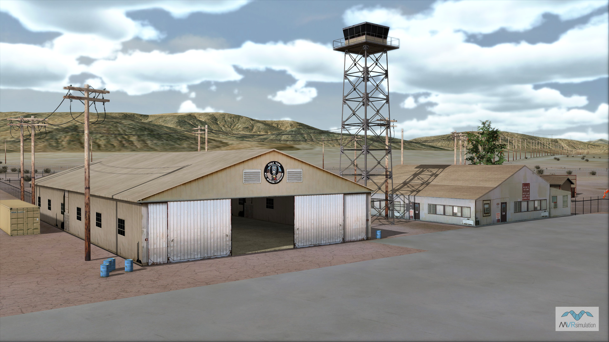
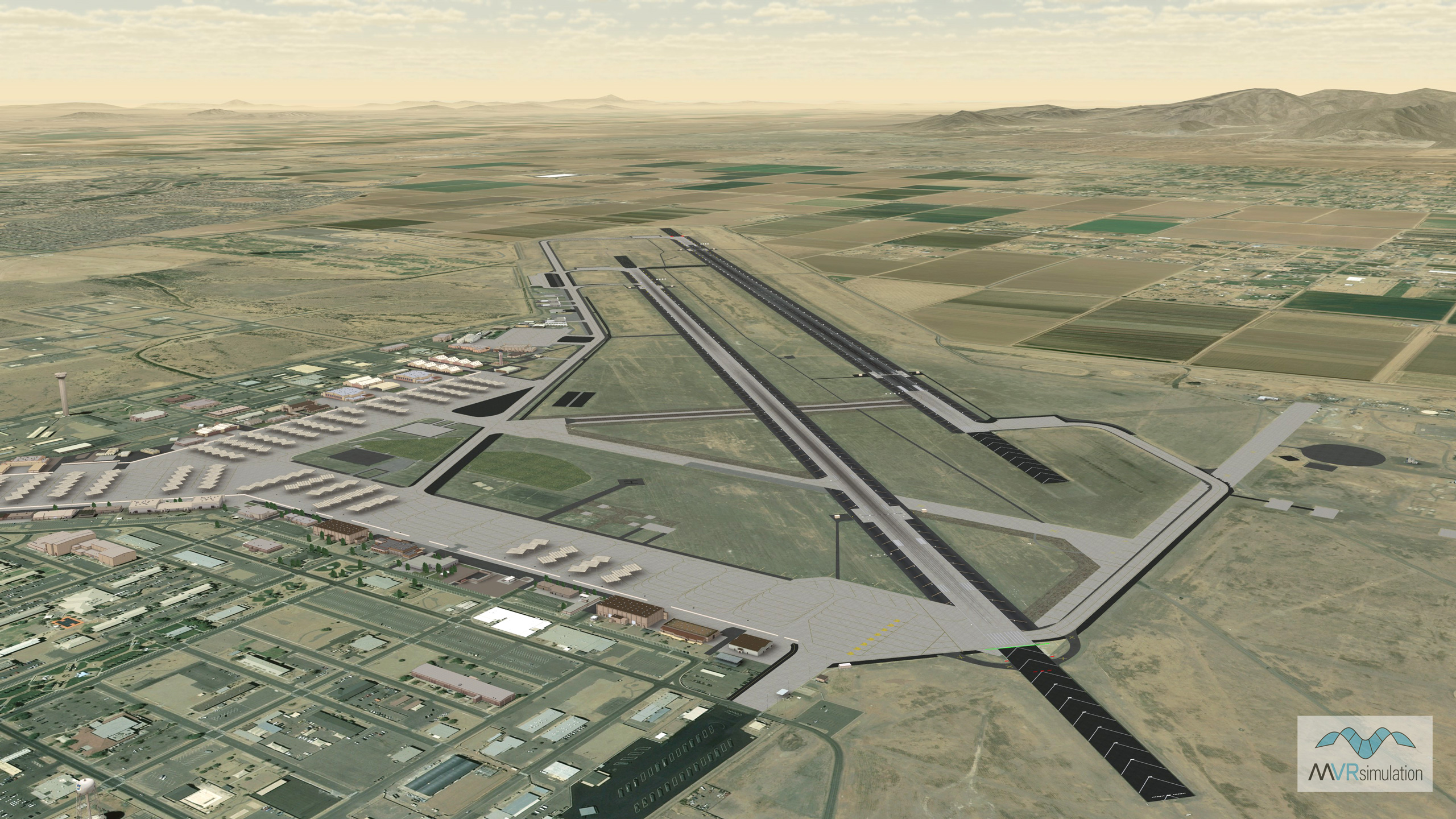
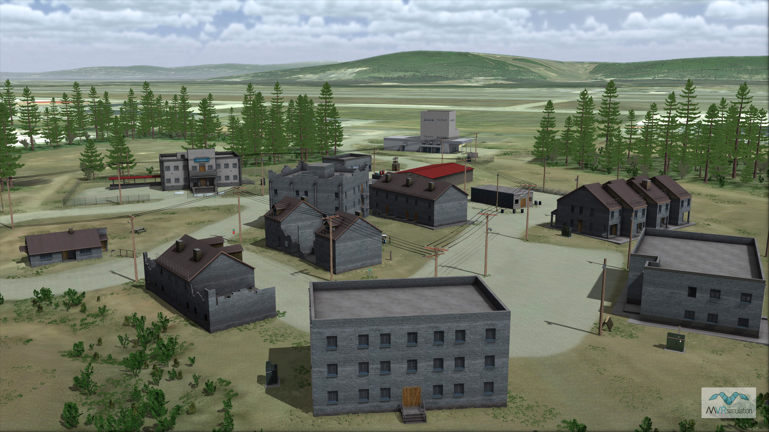
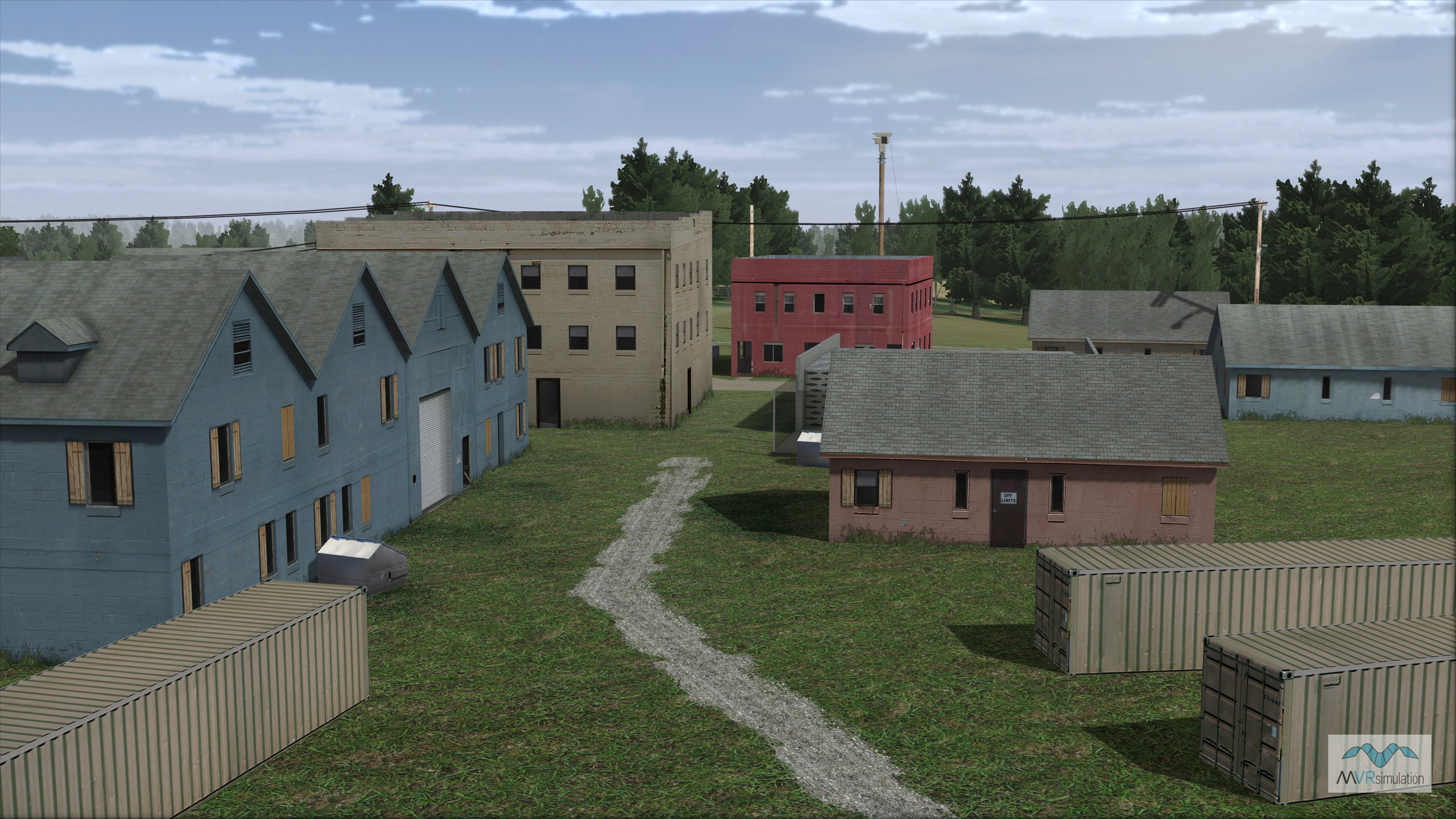
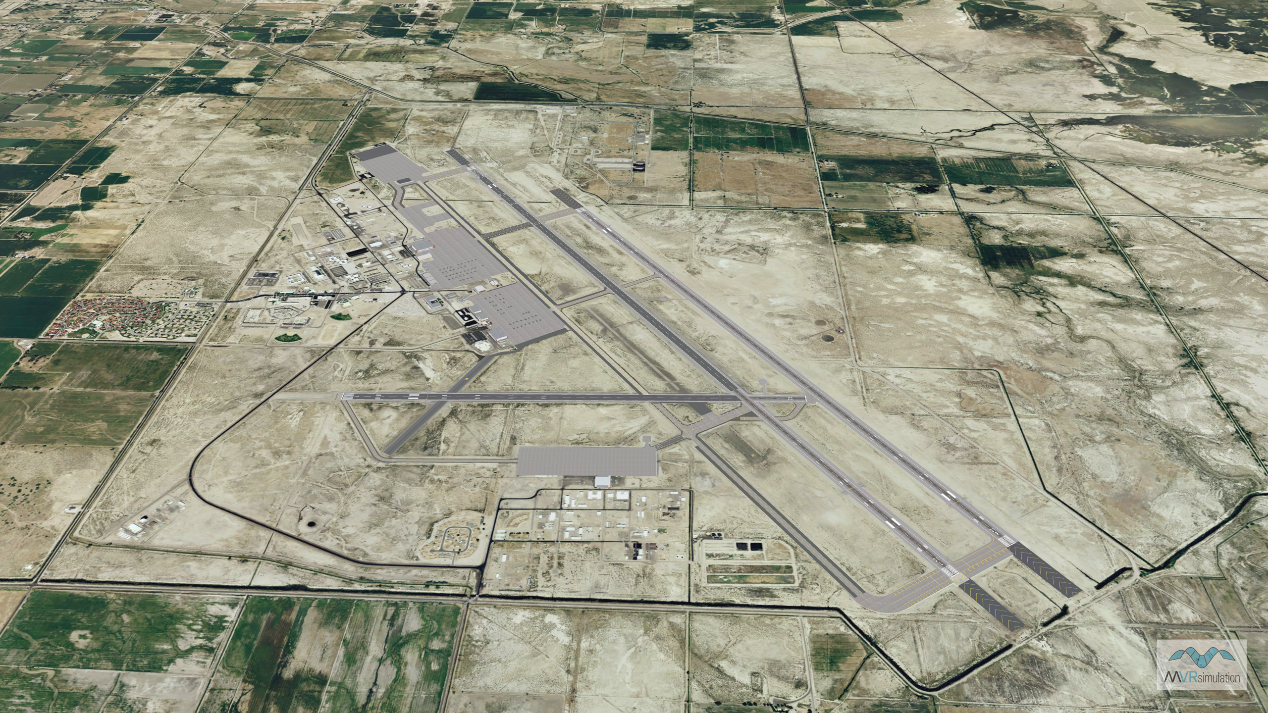
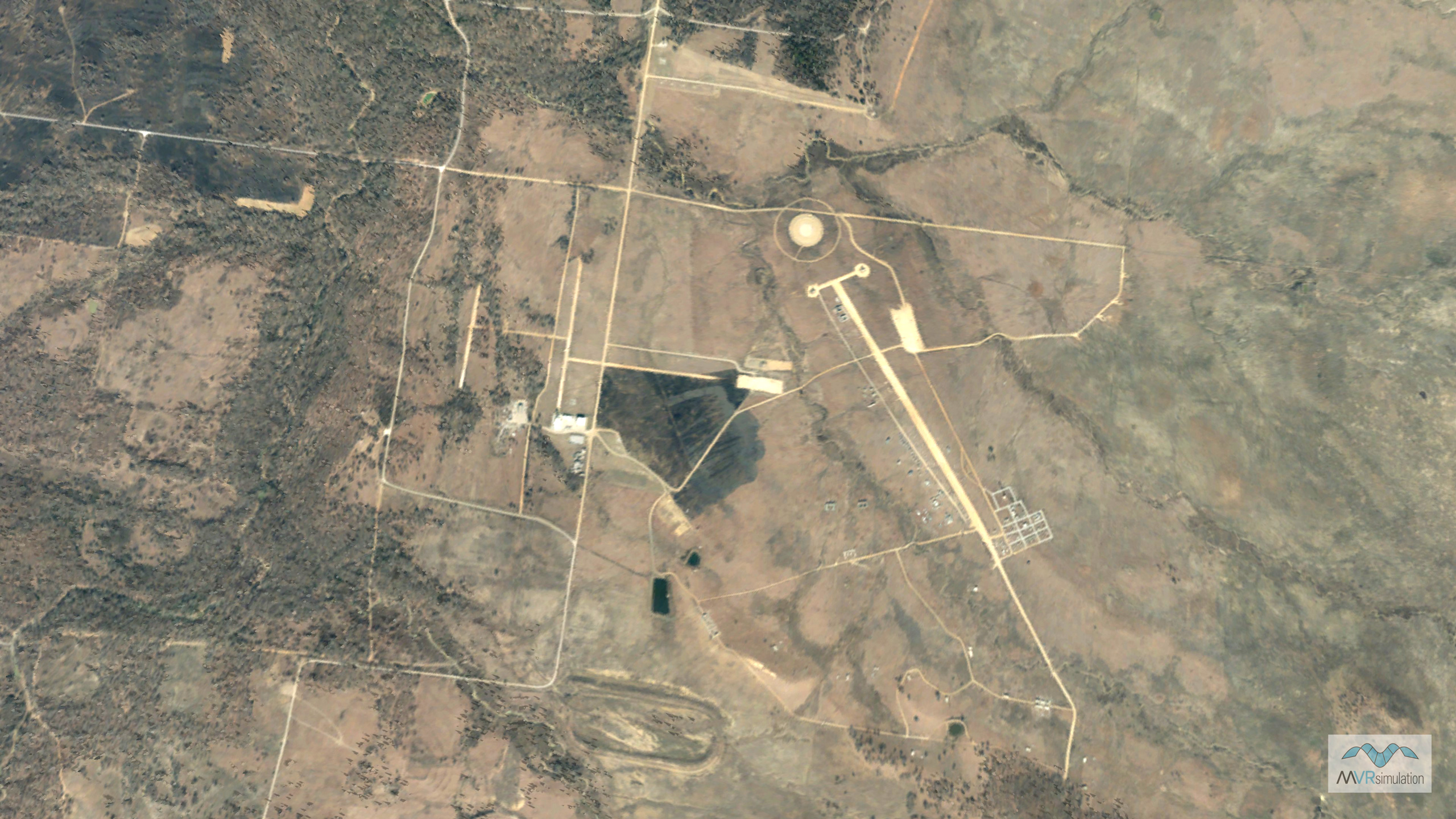
MVRsimulation’s training ranges provide the opportunity for cost-effective familiarization via simulation exercises before trainees train on a live range. The close correlation between a live range and the virtual terrain of the range provides an enhanced training experience through exercises that closely resemble reality. Portions of the virtual NAS Fallon and Yuma Proving Ground terrains were built with 2cm per-pixel imagery captured by MVRsimulation's small UAS.
MVRsimulation’s virtual training ranges offer a critical strategic advantage: the ability for warfighters to train on a precise, geospecific replica of a real-world range before they ever step foot on the live range. These high-fidelity 3D virtual environments, rendered in our Virtual Reality Scene Generator (VRSG), enable cost-effective mission rehearsal and procedural familiarization, ensuring units arrive on-site better prepared and more effective from day one.
The key to effective simulation is authenticity. Built with our Terrain Tools for Esri ArcGIS®, each virtual range is a true round-earth digital replica of its physical counterpart. To achieve an unmatched level of realism, we utilize ground-level photos for creating geospecific 3D models and can capture our own sub-inch resolution imagery. Key areas within our NAS Fallon and Yuma Proving Ground terrains, for example, are built with stunning 2 cm per-pixel imagery captured by our small Unmanned Aircraft Systems (sUAS). This granular detail ensures the virtual training experience translates directly to real-world readiness.