Okinawa, Japan Terrain Database Information
- Imagery: 30-50cm high-resolution
- Elevation: 30m SRTM.
- Terrain Drive: Asia & Middle East
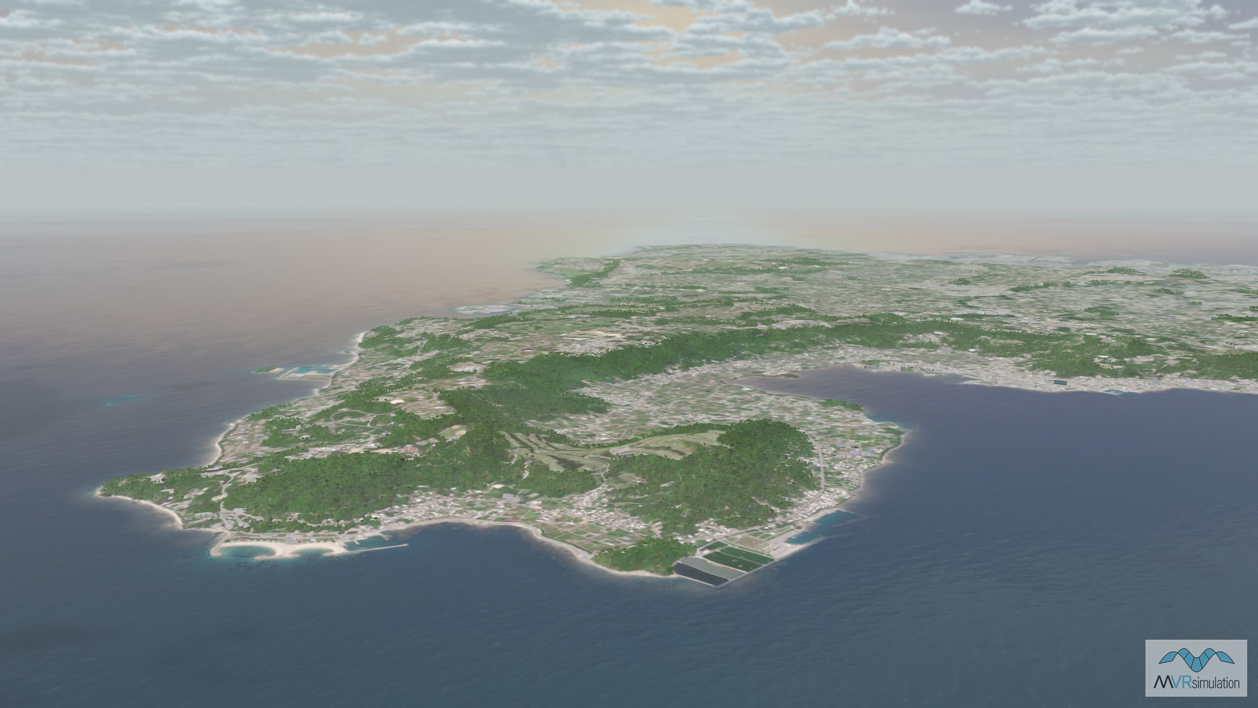
- Includes the islands of Kerama, Iheya, Izena, Aguni, le, Yoron, and Lotorishima
- Airfields: Kadena Air Base (RODN), Naha Airport (ROAH)
- Cultural features: Apron or Ramp Areas, CityEngine/Geotypical Buildings, Control Tower, Hangars, Military Specific Elements (Shelters, Bunkers, Watchtowers, etc.), Runway, Runway Lights, Signs, Static Aircraft or Helicopters, Taxiways and Associated Markings, Trees, Water Features (Lakes, Rivers, etc), Windsocks
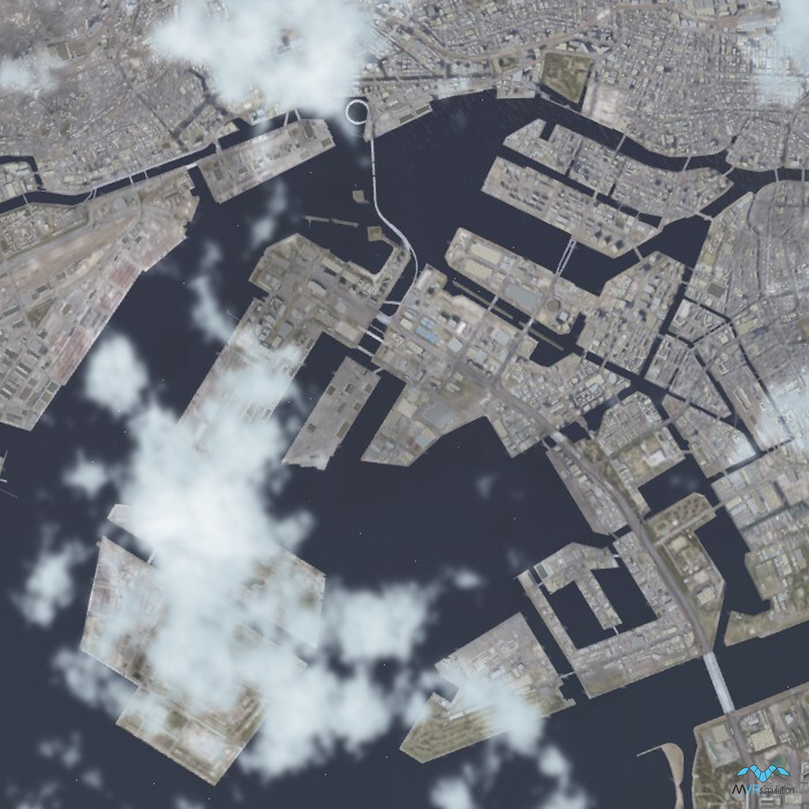
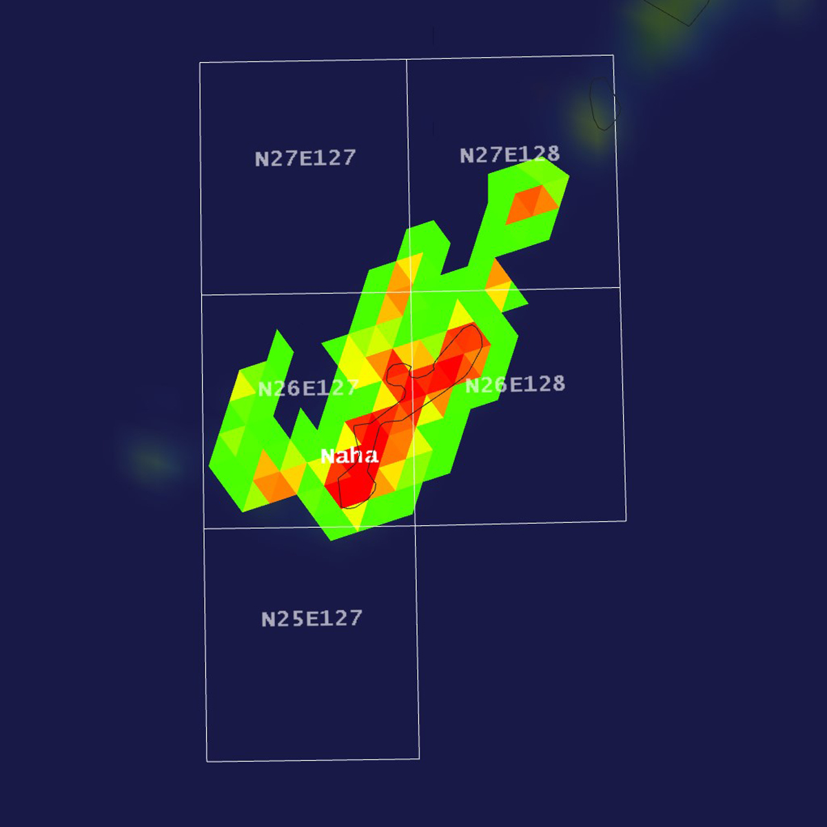
Tile Coverage Map
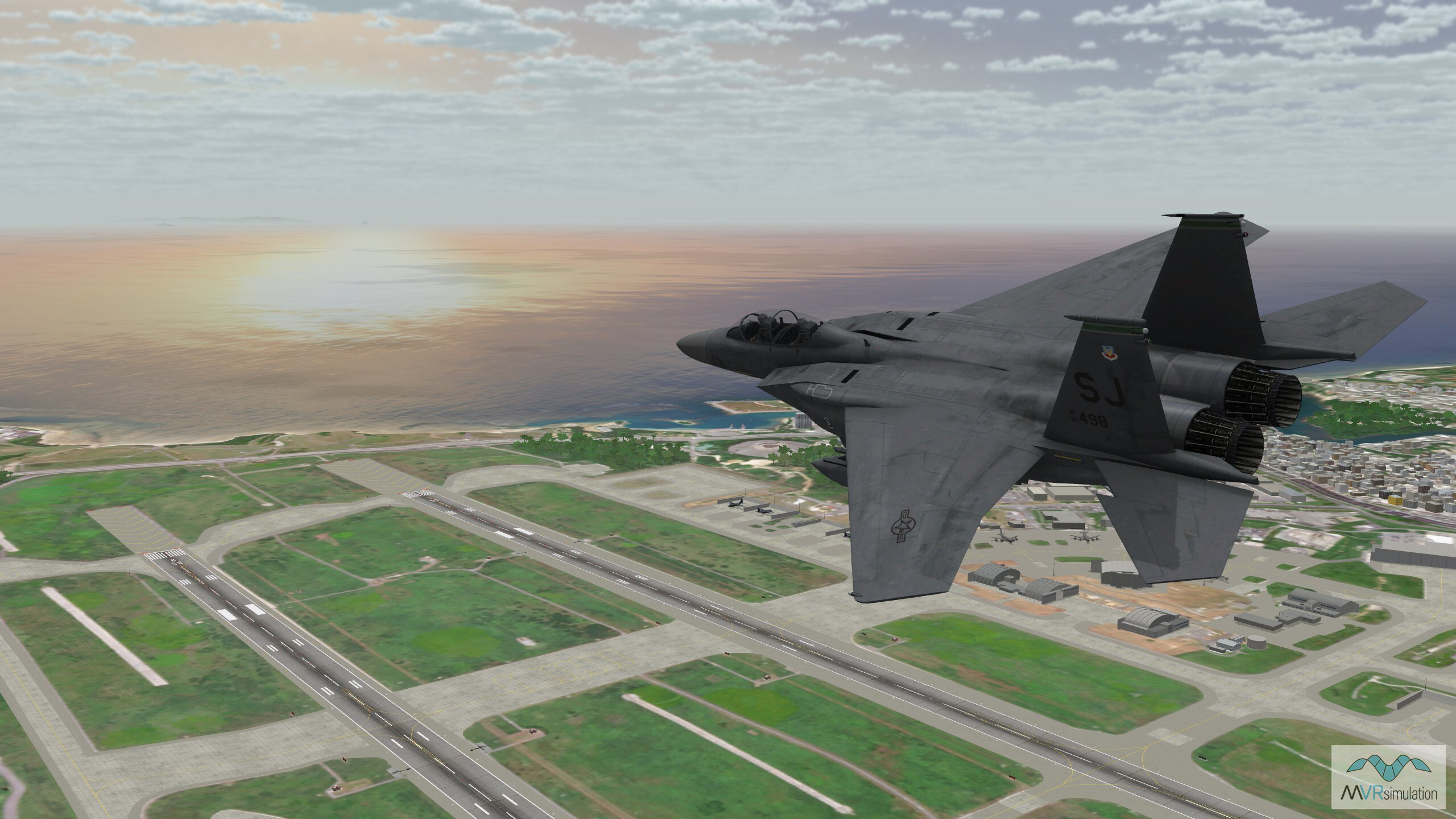
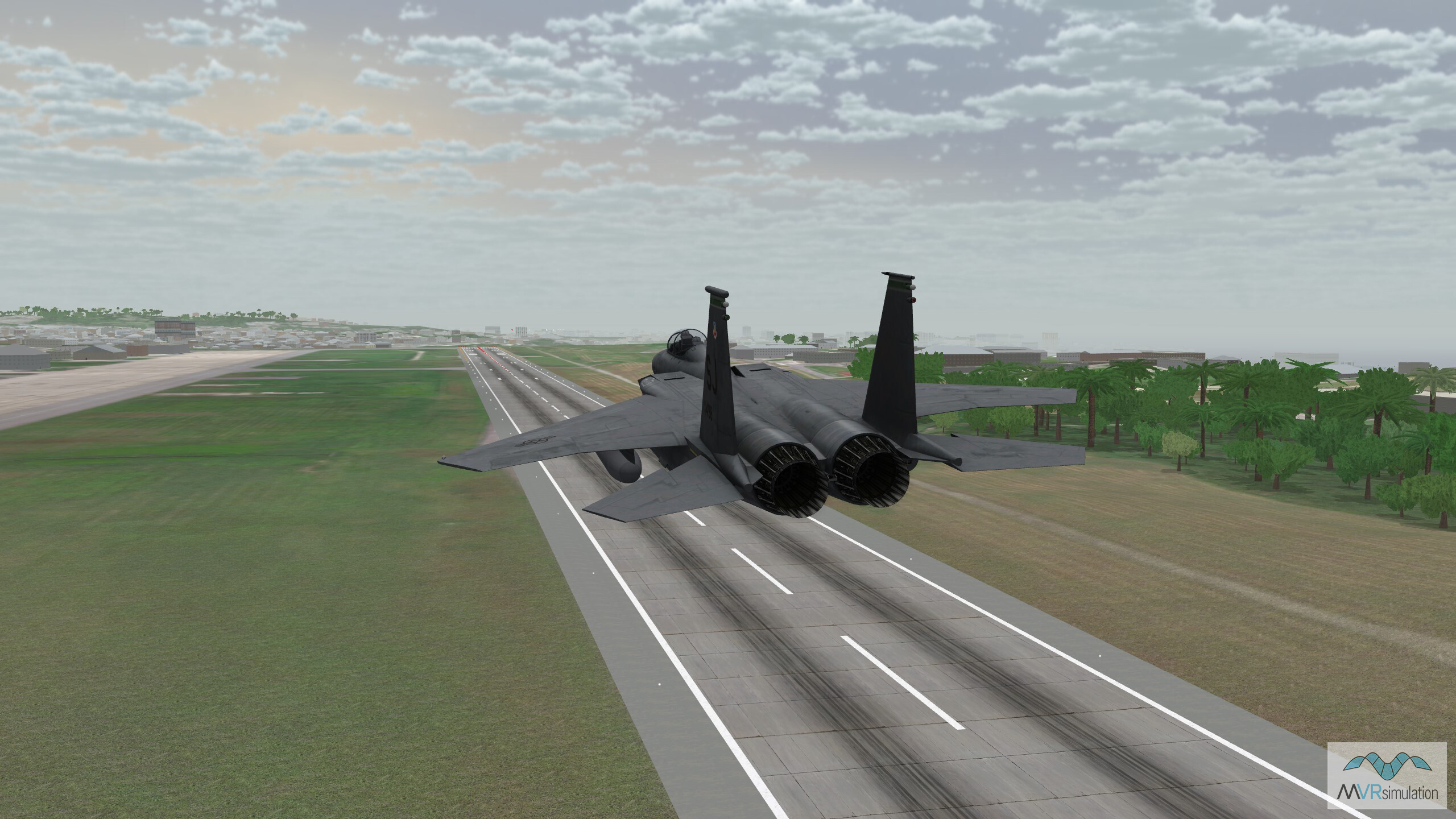
F-15 in flight over Kadena Air Base in Okinawa, Japan.
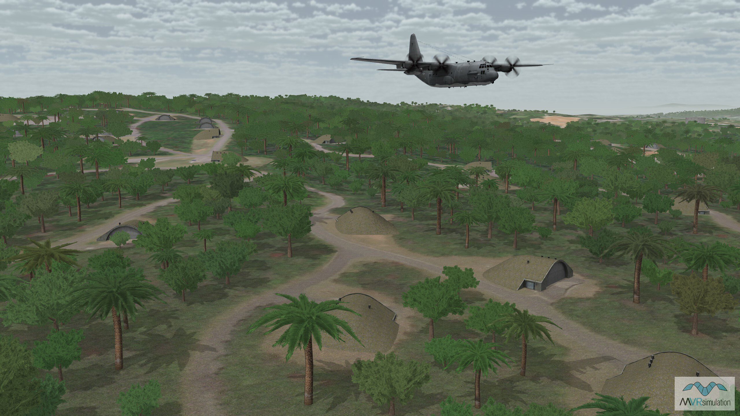
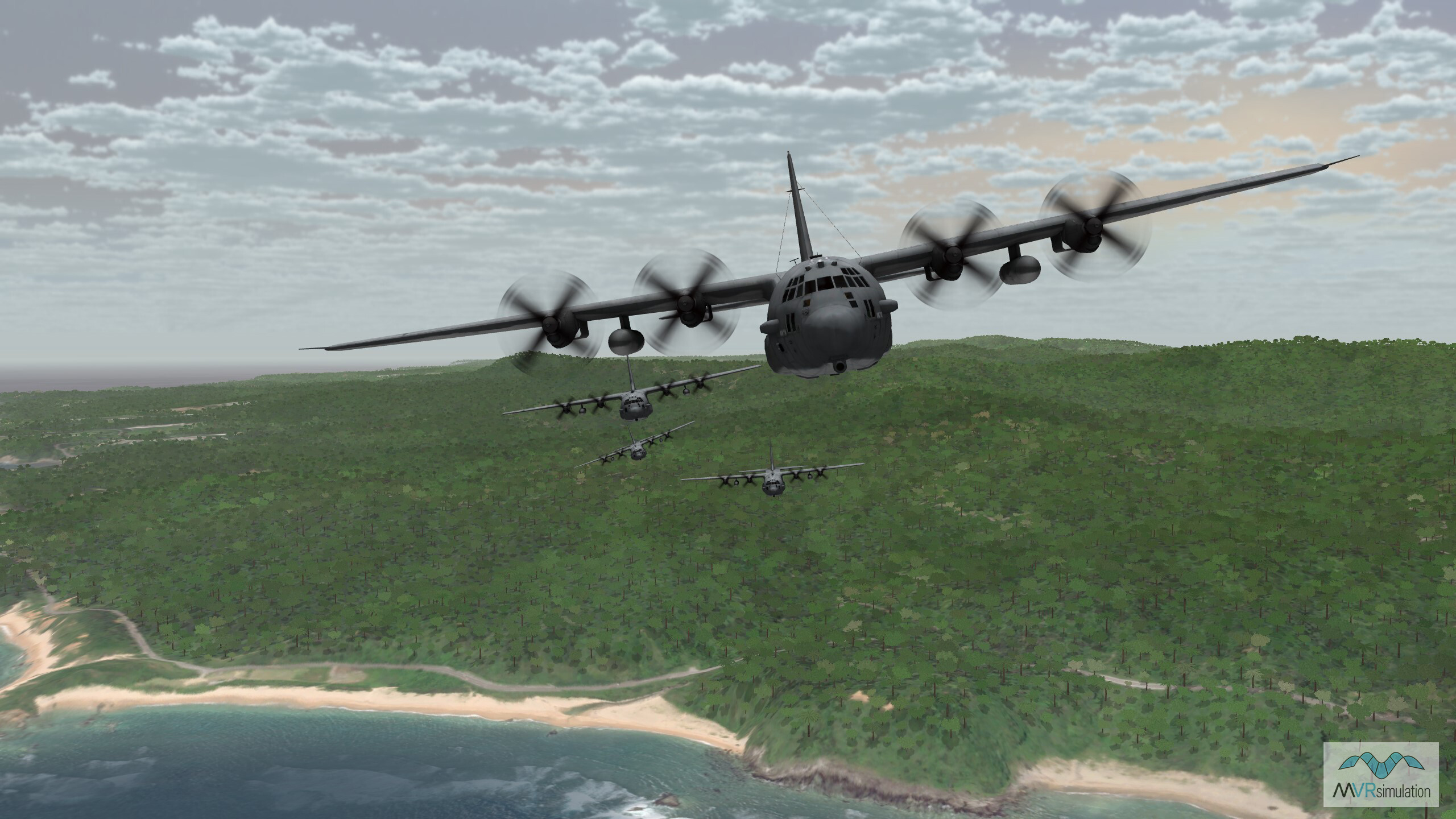
MC-130 flying low over Kadena Air Base with geo-typical shelters and foilage.
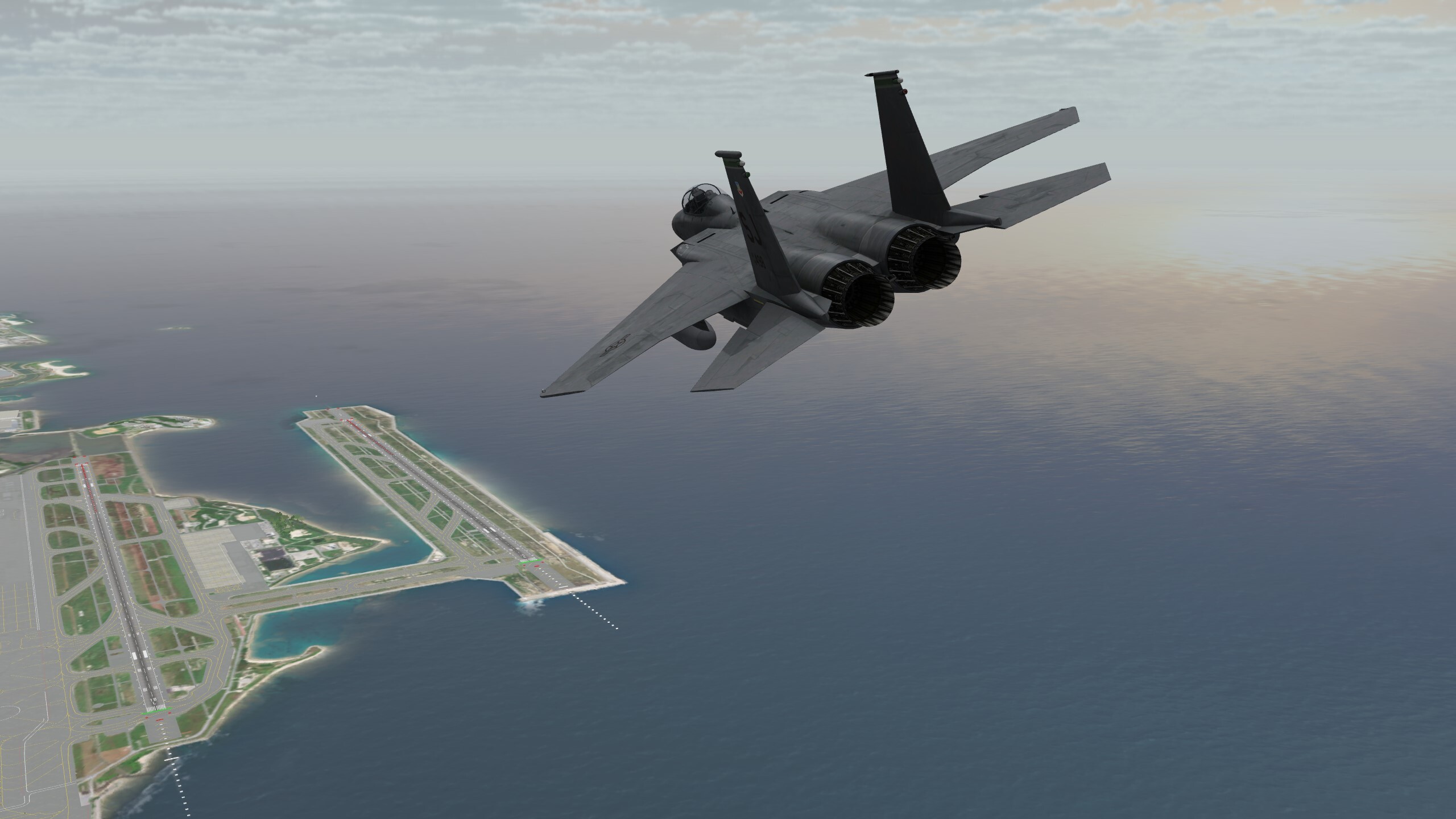
3D modeled Naha International Airport (ROAH) is included in the Okinawa, Japan, terrain database.
F-15 flying low over Marine Corps Air Station (MCAS) Futenma.
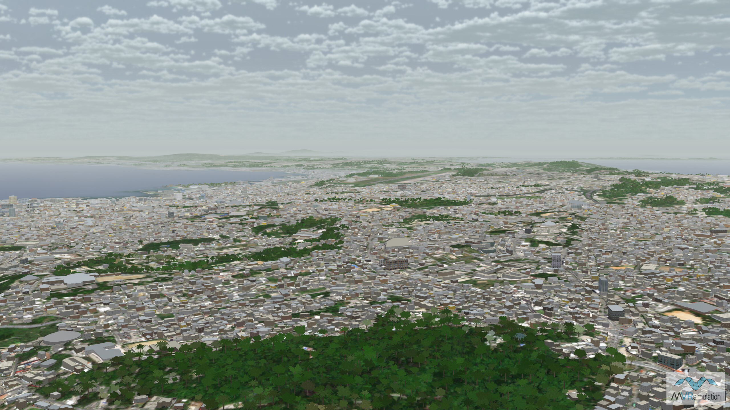
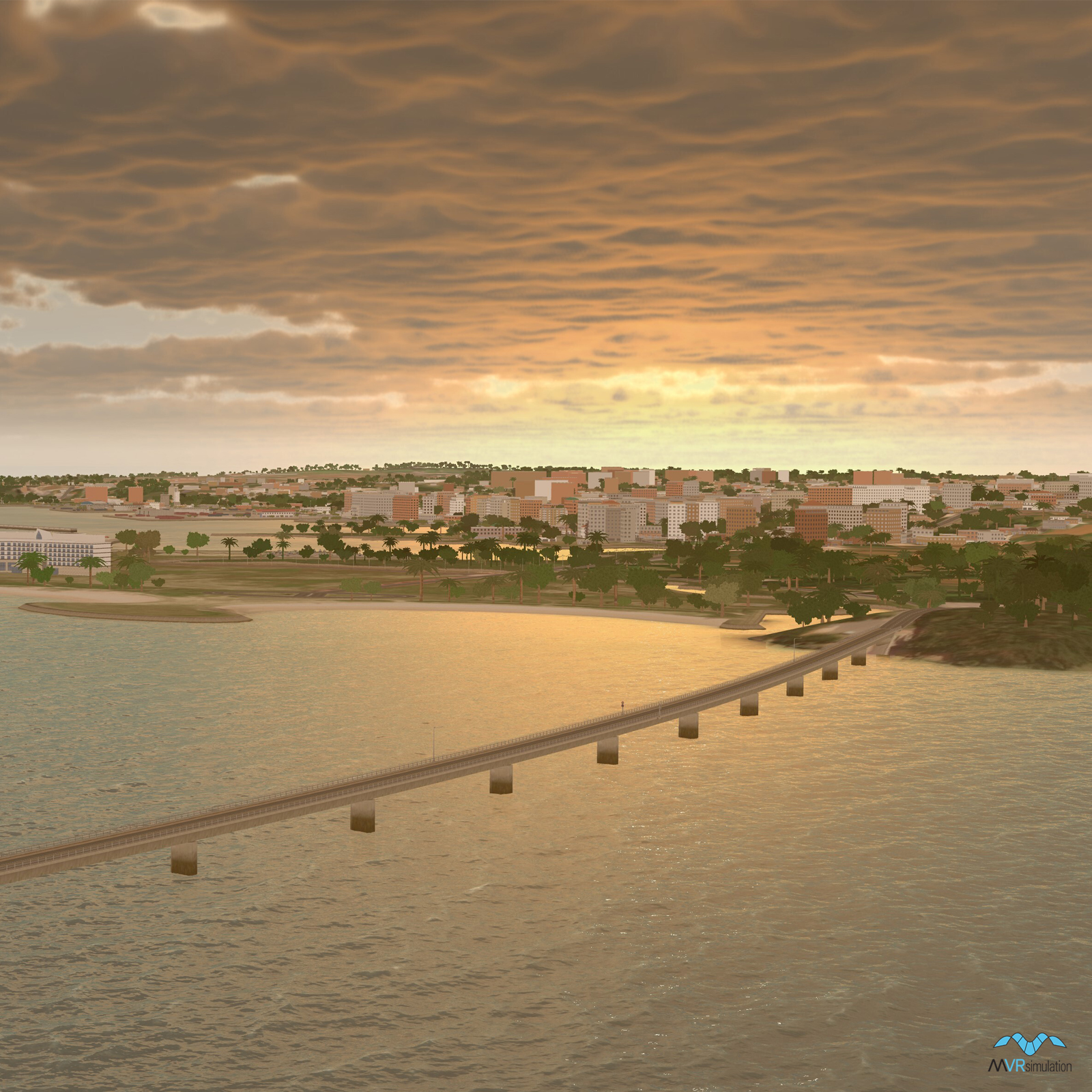
3D modeled urban area on Okinawa Island with CityEngine buildings and geotypical trees.
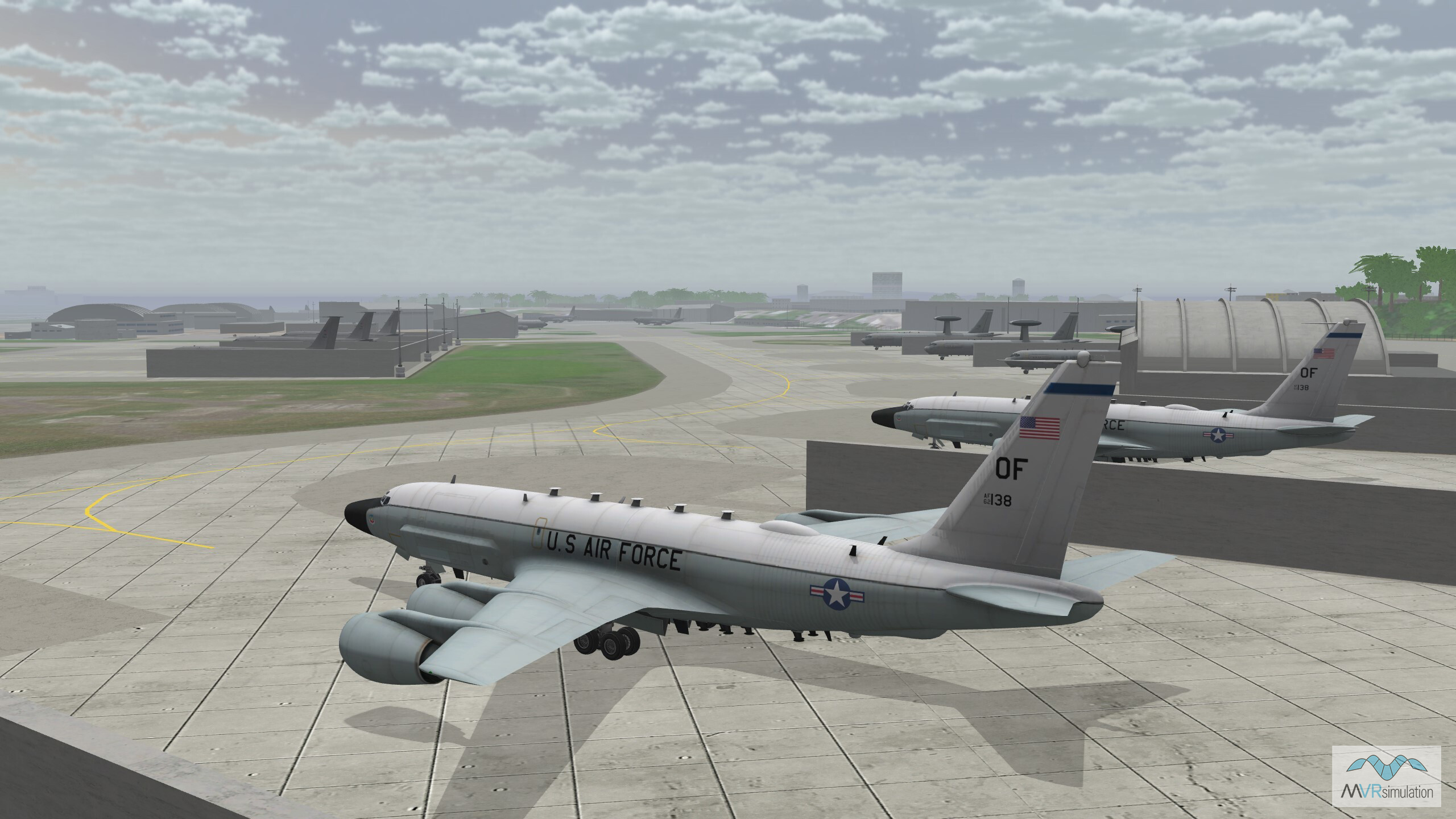
RC-135W sitting on the tarmac of Kadena Air Base with hangars and other models in the background.