Australia and Oceania 3D Terrain

Australia and Oceania 3D Terrain

AUSTRALIA AND OCEANIA 3D TERRAIN

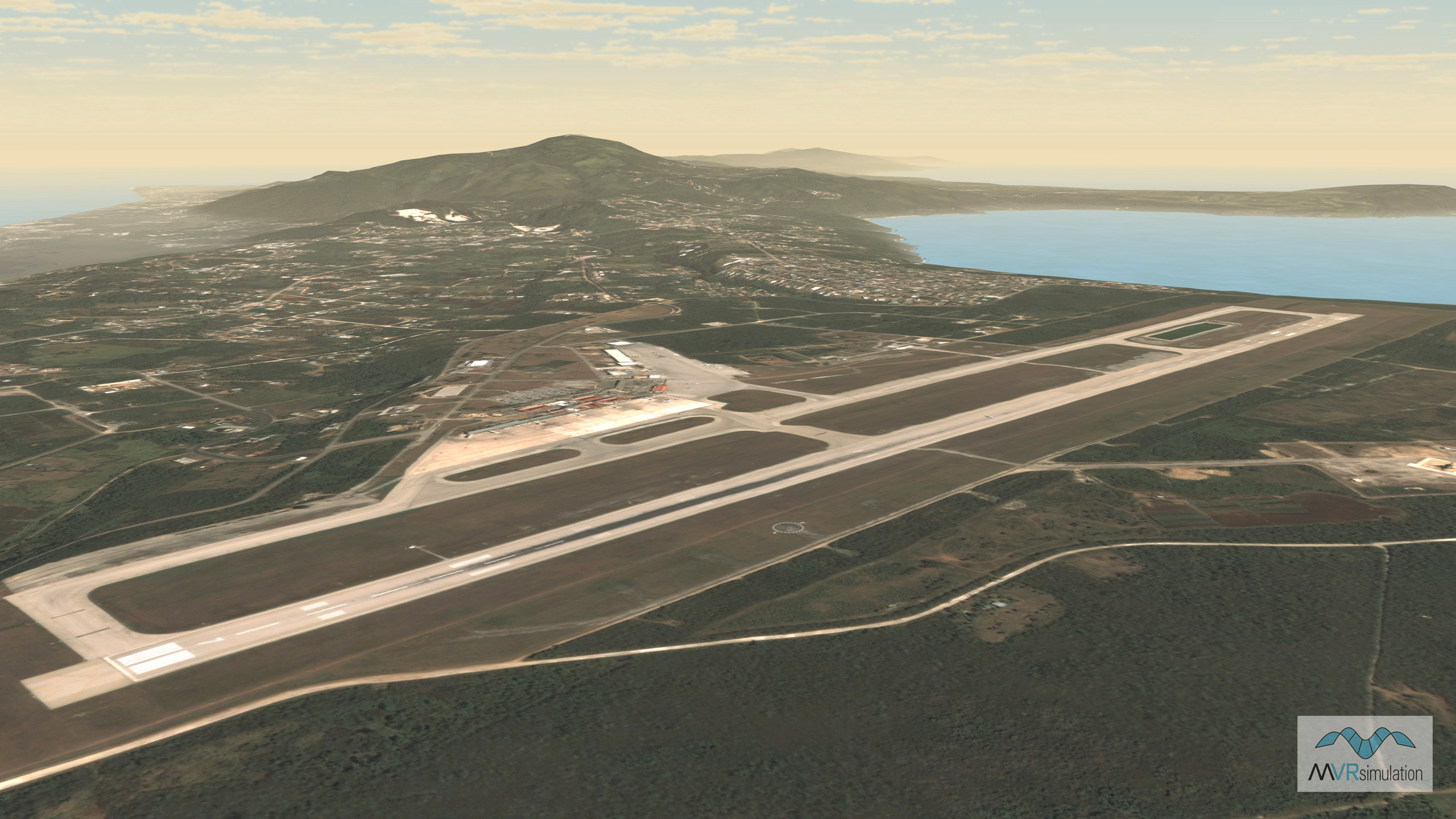
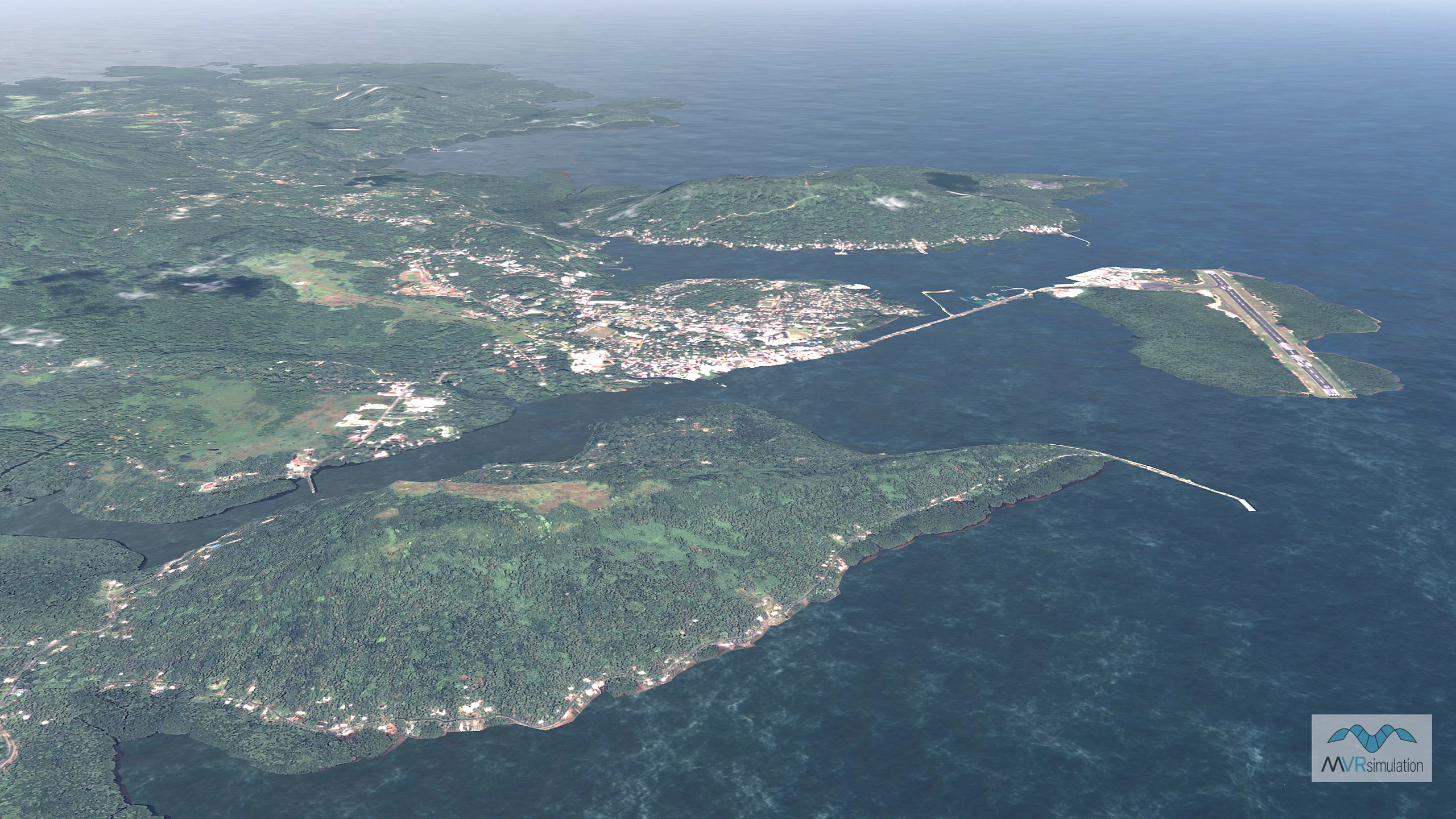
MVRsimulation has built 1,412 geocells of 3D terrain of the continent of Australia and Oceania in its round-earth geocentric format for rendering in Virtual Reality Scene Generator (VRSG). The terrain was built with MVRsimulation’s Terrain Tools for Esri® ArcGIS® from 3-arcsecond Shuttle Radar Topography Mission (SRTM) elevation data (Guam elevation is 3 meters (NED 1/9) and imagery ranging from 0.60 to 15 meter-per-pixel (mpp) resolution.

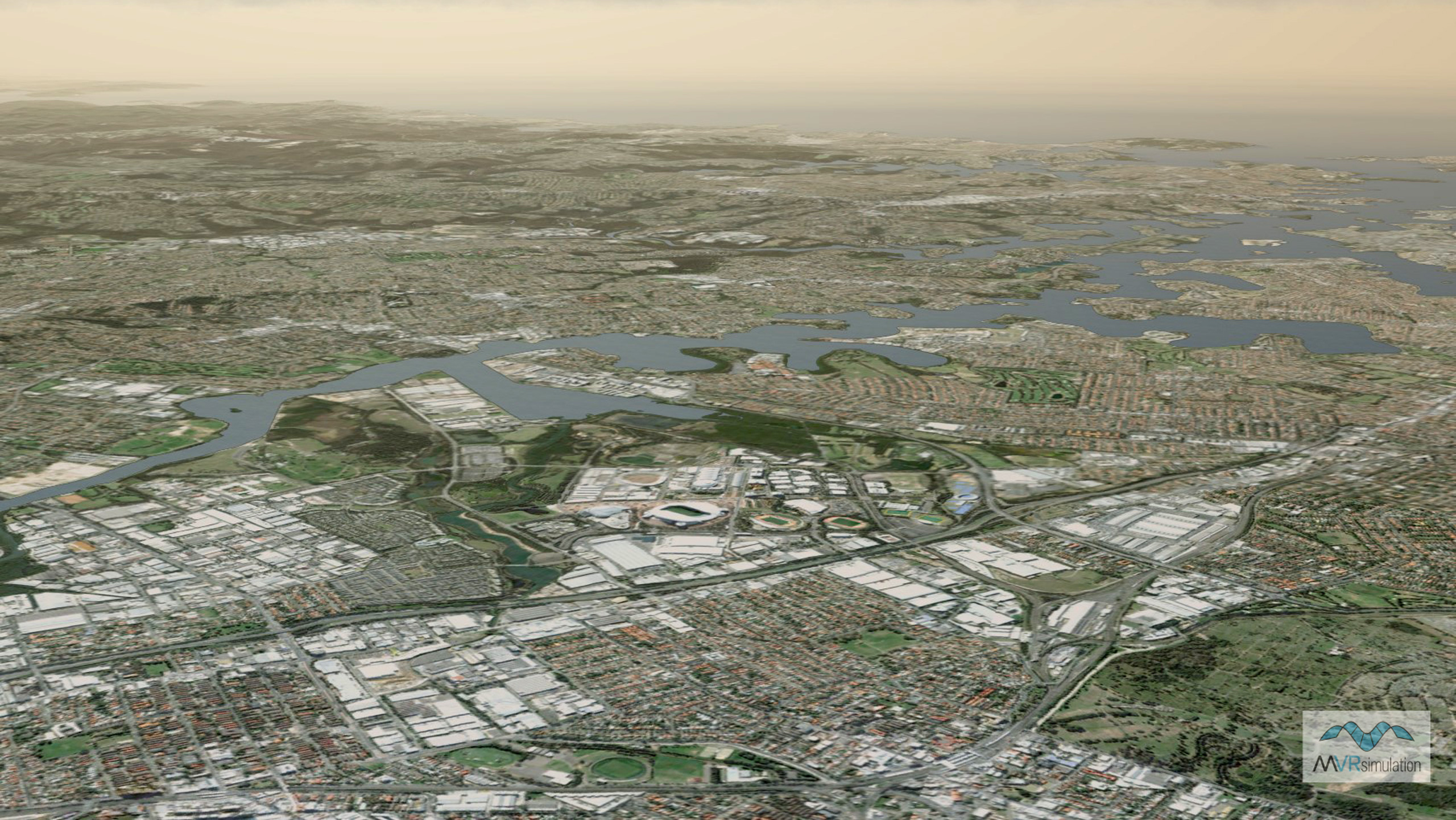
The Australia virtual terrain includes 0.60 mpp high-resolution natural color insets of several areas of interest: Sydney, Perth, Canberra, Melbourne, and Brisbane.

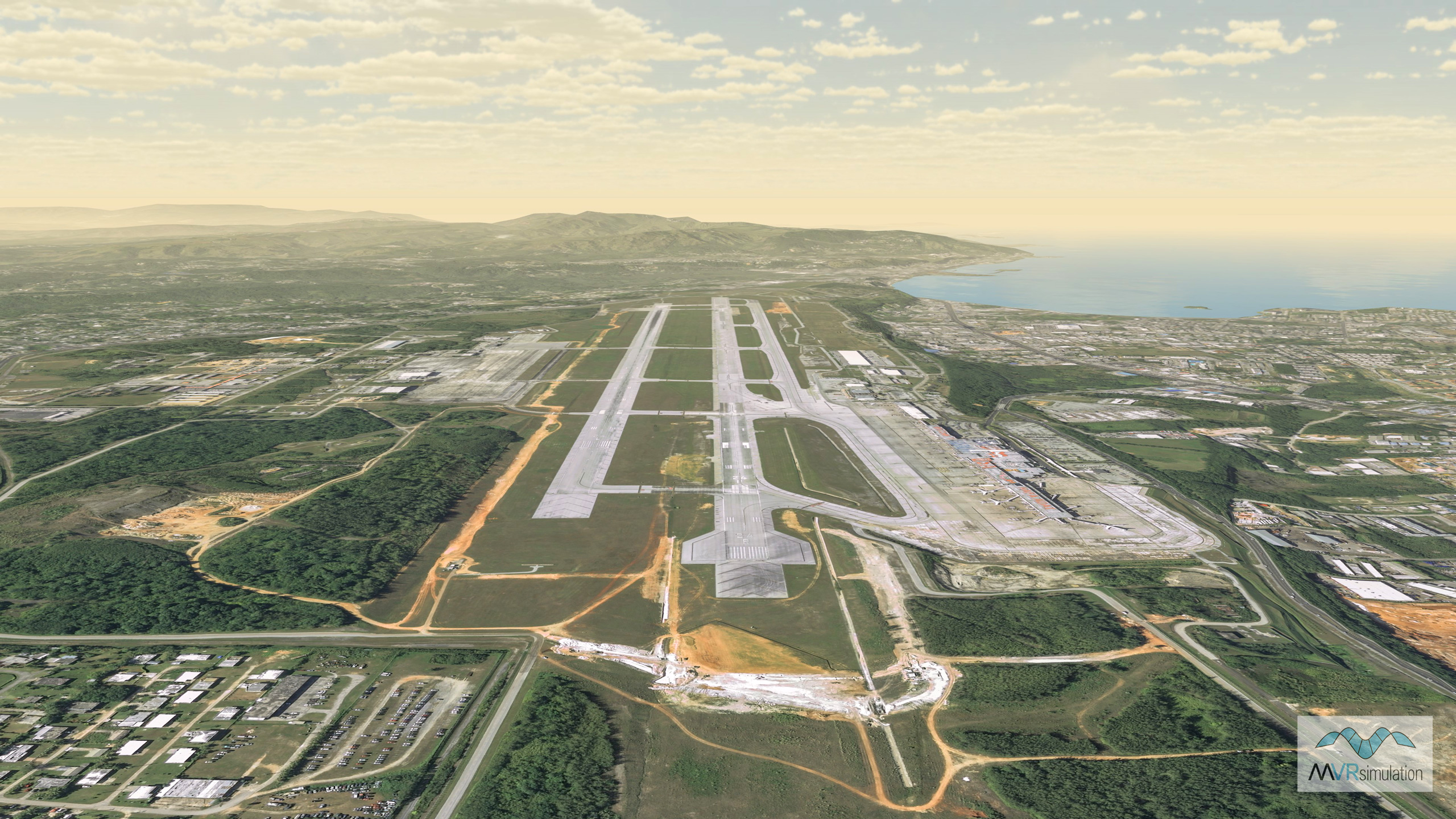
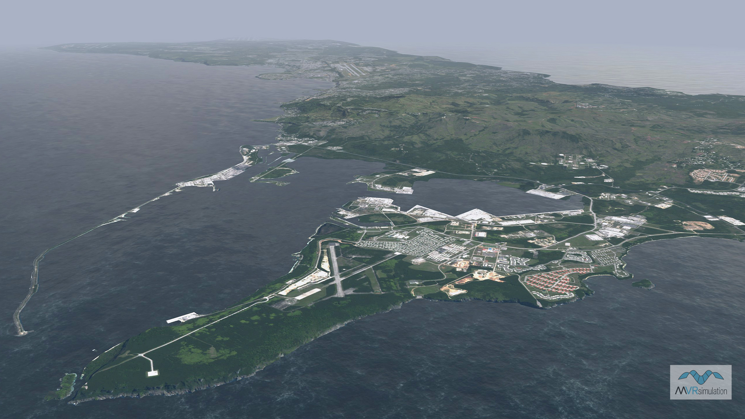
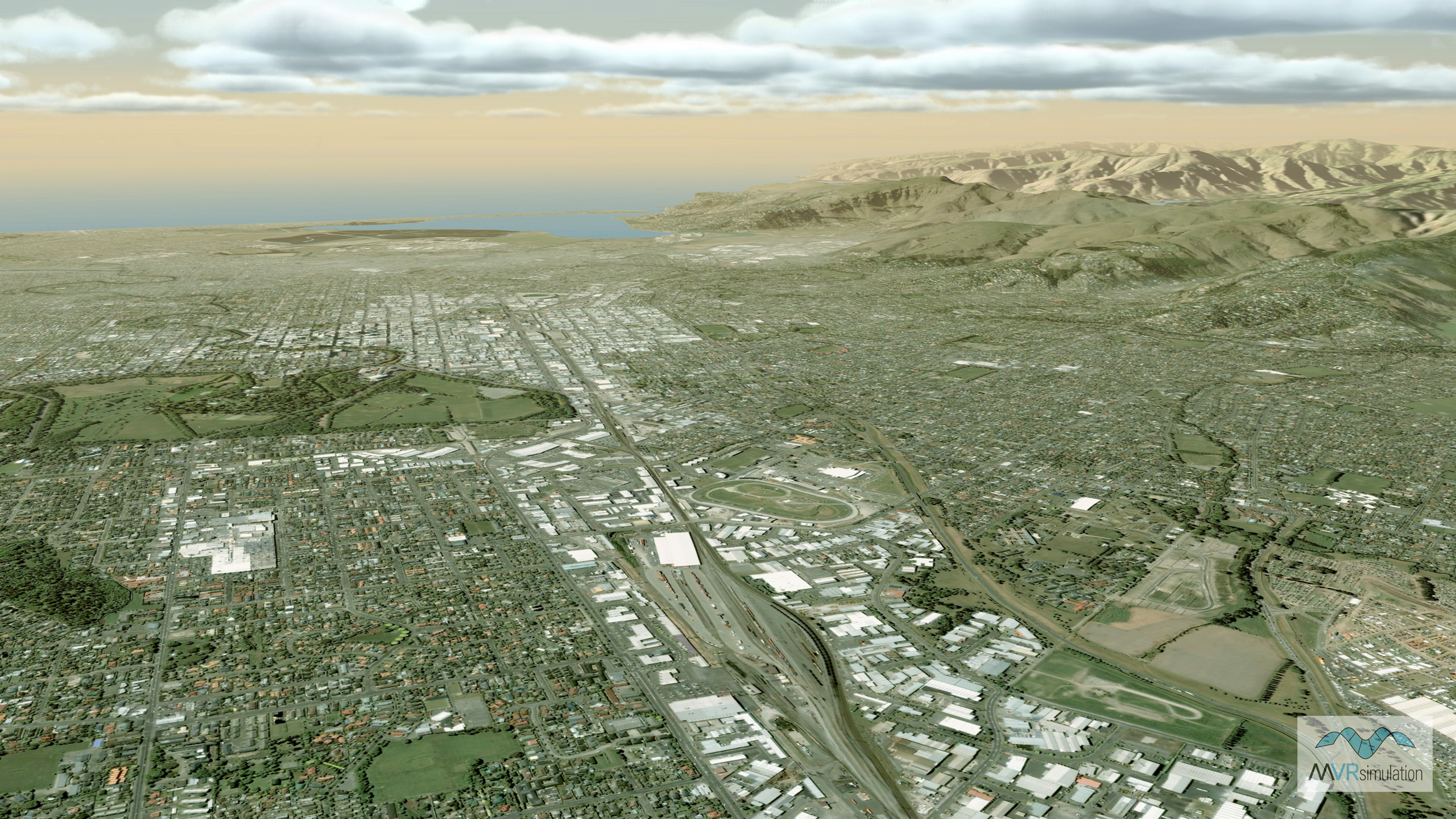
The Oceania virtual terrain includes 0.60 mpp high-resolution natural color insets of Pohnpei and Weno Islands, Federated States of Micronesia; Auckland and Christchurch, New Zealand; Rota Island and Tinian & Saipan Islands of the Northern Mariana Islands. The terrain also includes 0.30 mpp inset of Guam.

As additional source data becomes available, MVRsimulation will continue to build 3D terrain for additional areas to add to it 3D datasets of the world. 

Geographic coverage by imagery resolution

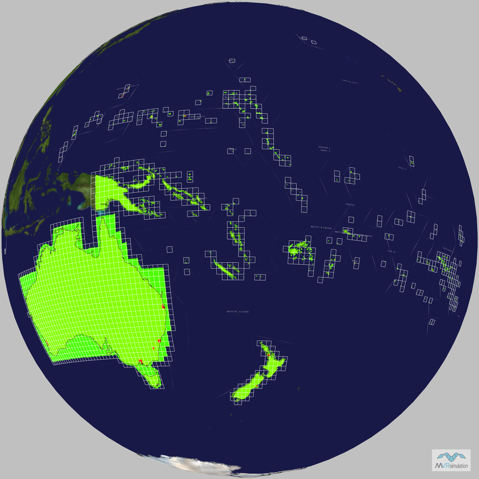
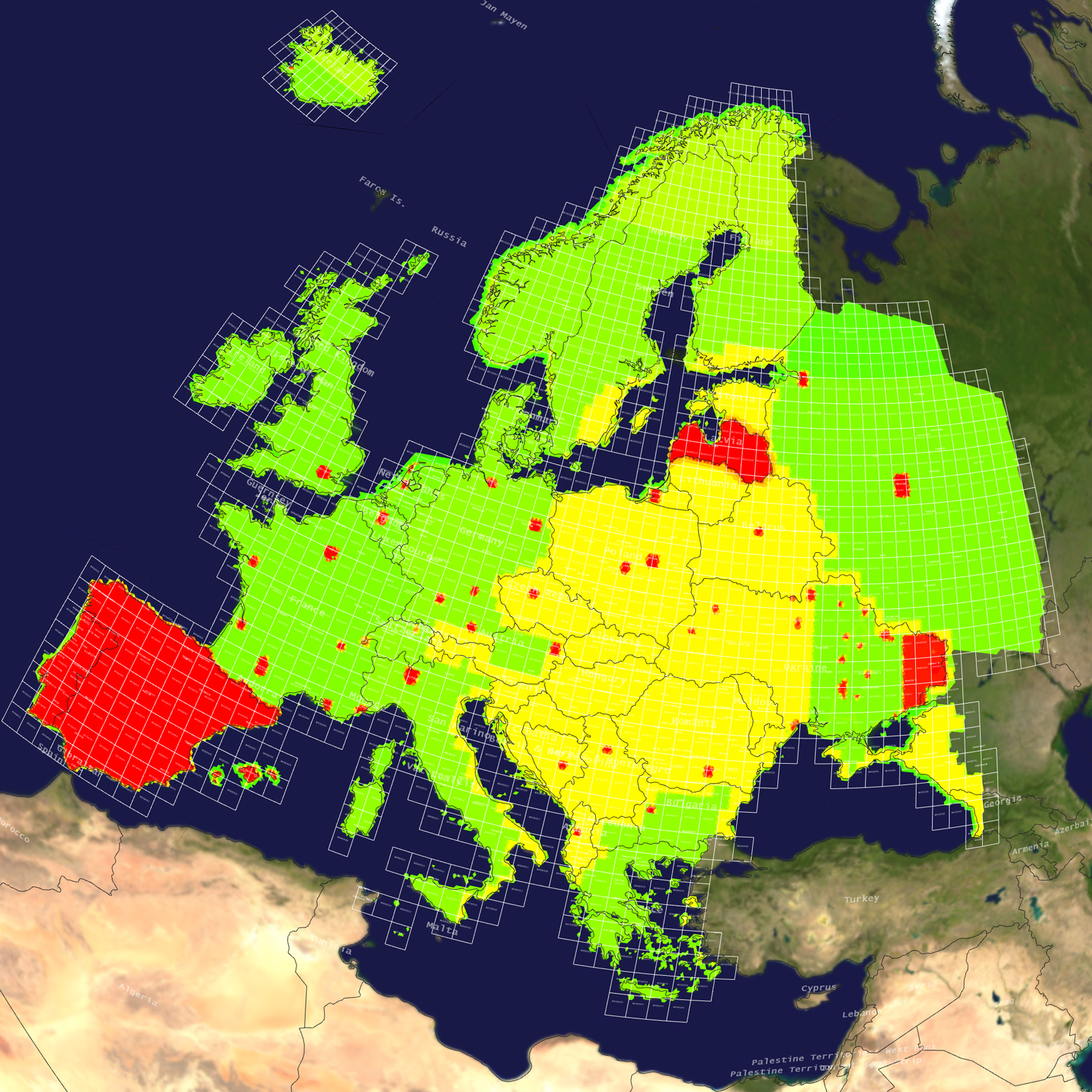
The following symbolic representation shows the geographic coverage of the terrain tiles of Australia and Oceania. This terrain tile coverage map was generated with MVRsimulation's Model Viewer. The green areas indicate use of 15 mpp imagery and the red areas indicate the 60 cm and 30 cm high-resolution imagery.

Geographic coverage of MVRsimulation's terrain tiles of Australia and Oceania. 


Specifications

Below are specifications for MVRsimulation’s Australia and Oceania terrain dataset in round-earth VRSG format (MDS).

Dataset size: 1,412 geocells

Size on disk: 547 GB

Terrain post spacing: 60 meters-per-post spacing

Elevation source data: 3-arcsecond STRM sub-sampled to achieve a nominal 60 m post spacing; Guam elevation is 3 meters (NED 1/9)

Imagery source data: 15 meters-per-pixel (mpp) NaturalVue imagery of Australia; 0.60 mpp natural color insets of Sydney, Canberra, Brisbane, Perth, and Melbourne, Australia; Pohnpei and Weno Islands, Federated States of Micronesia; Auckland and Christchurch, New Zealand; Rota Island and Tinian & Saipan Islands of the Northern Mariana Islands; 0.30 mpp inset of Guam

Delivery

MVRsimulation's Australia and Oceania 3D terrain dataset is available for purchase to customers who are on active VRSG software maintenance and are US Government or NATO agencies or contractors (for official use only). The terrain is provided in MVRsimulation's round-earth terrain format and will only run with a valid VRSG version 6 software license with valid software maintenance.

The Australia and Oceania terrain dataset is delivered on an external hard drive. (A nominal fee covers the processing of large quantities of data in round-earth VRSG terrain format and the hard drive distribution media.)

You can request a quote for this 3D terrain directly from MVRsimulation by consulting the price list and then filling out the quote request form.