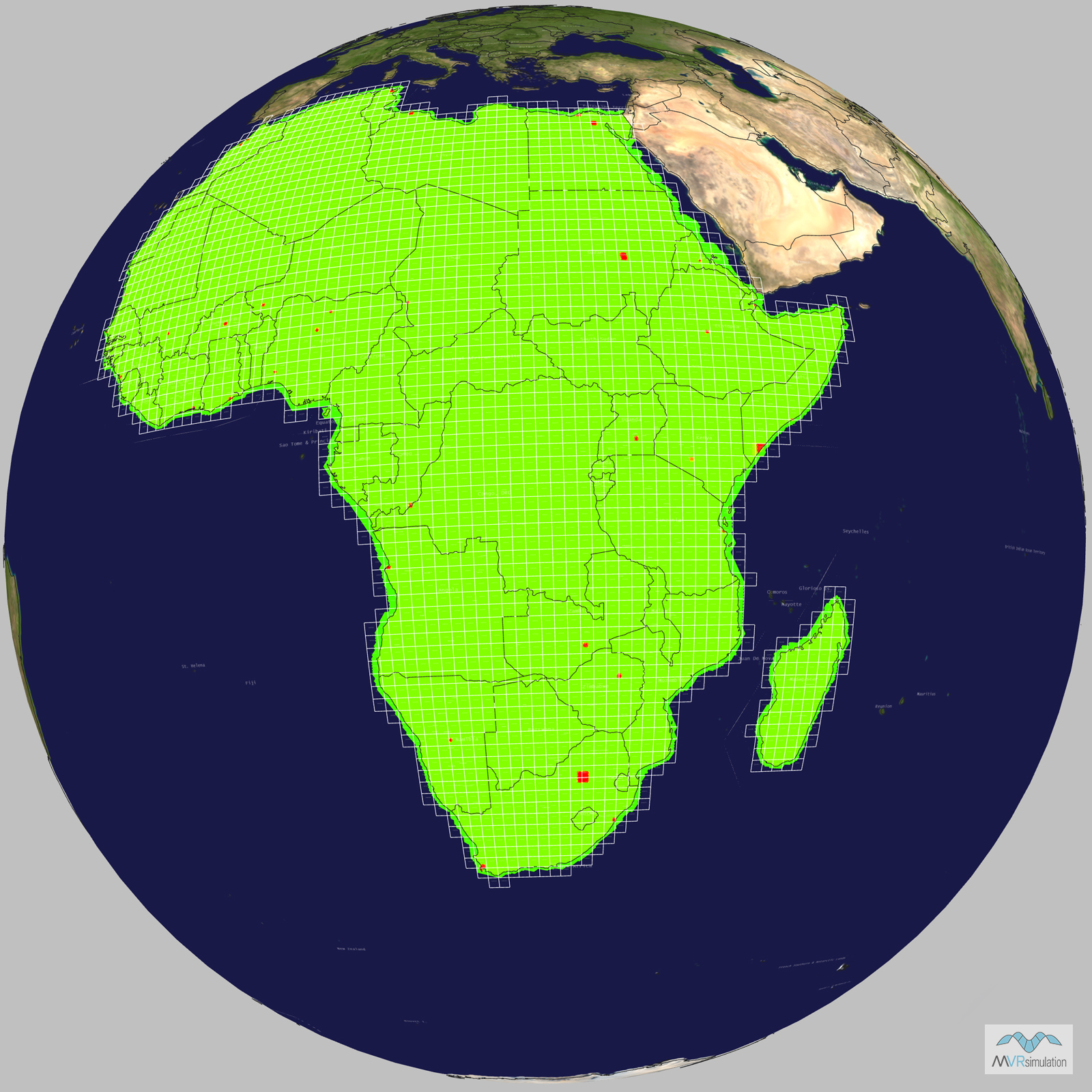
Tile Coverage Map
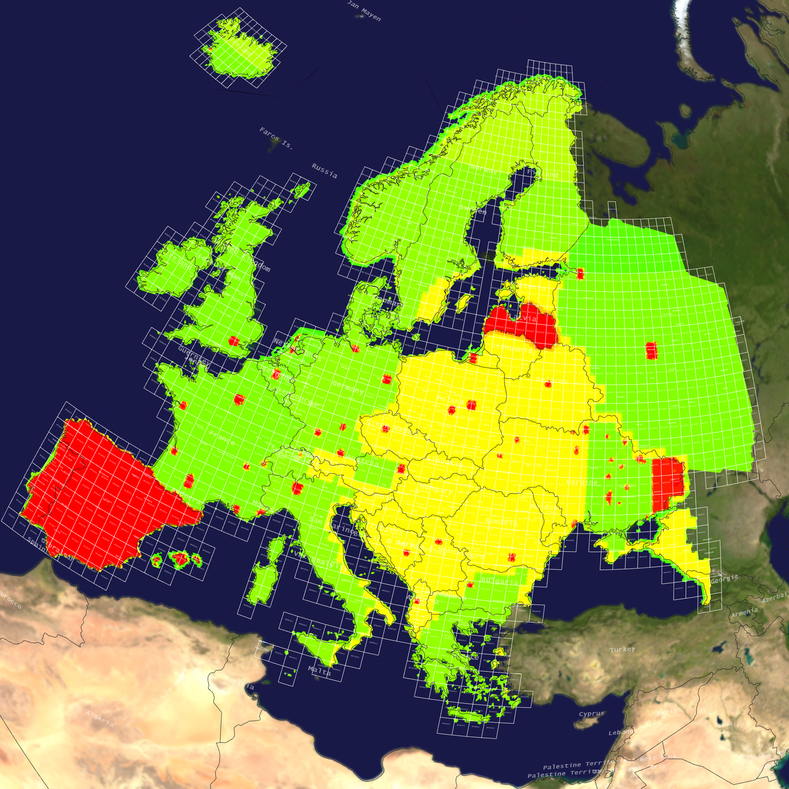
Terrain Database Information
- Imagery: 15mpp base imagery with higher resolution insets
- Elevation: SRTM 3 arc-second (=90m) elevation data with higher resolution insets
- Terrain Drive: Europe
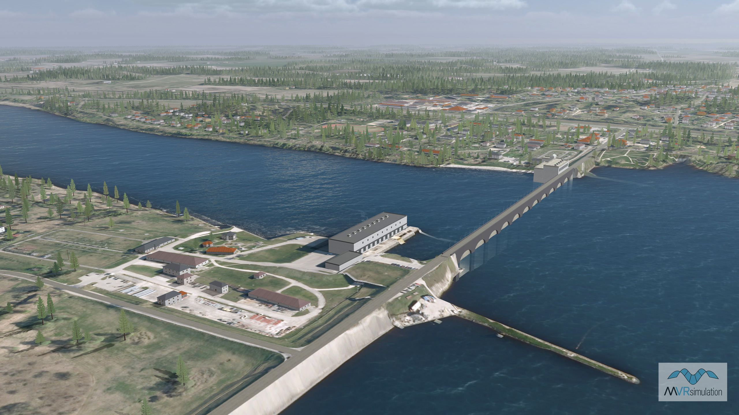
- The entire coastline of the Europe terrain also contains bathymetric shorelines for supporting VRSG's 3D ocean simulation.
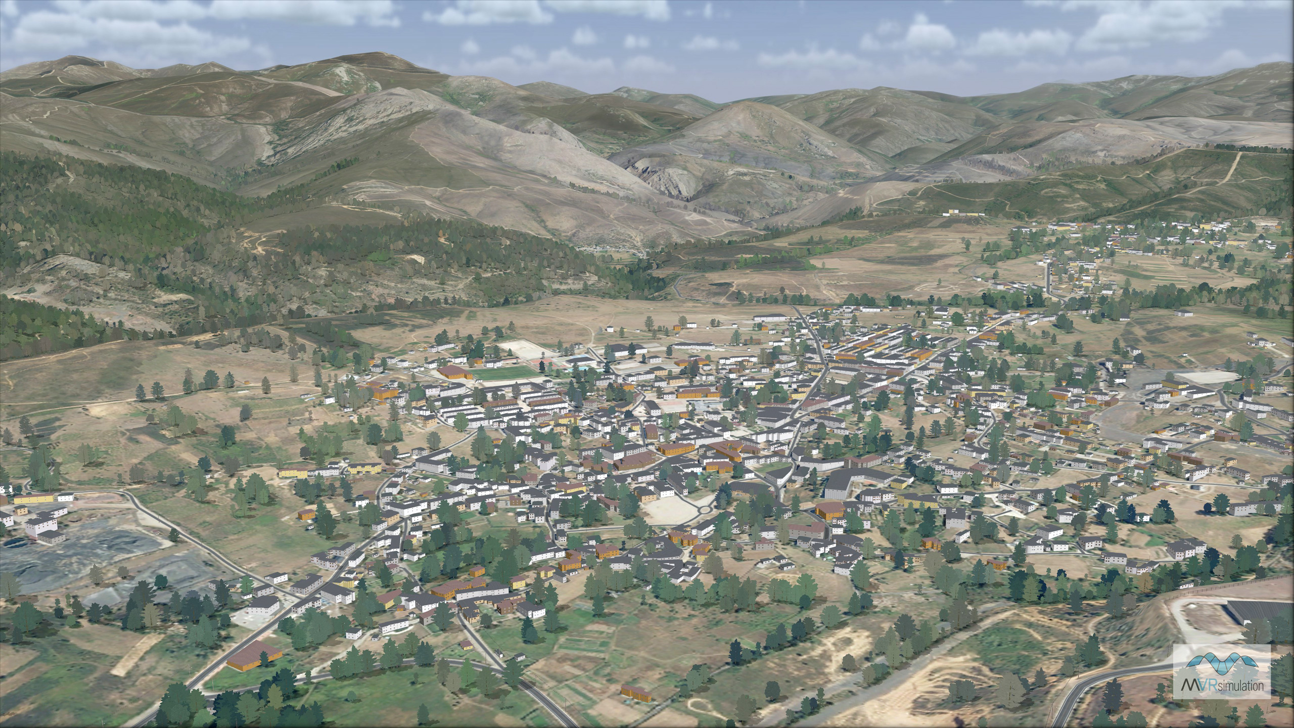
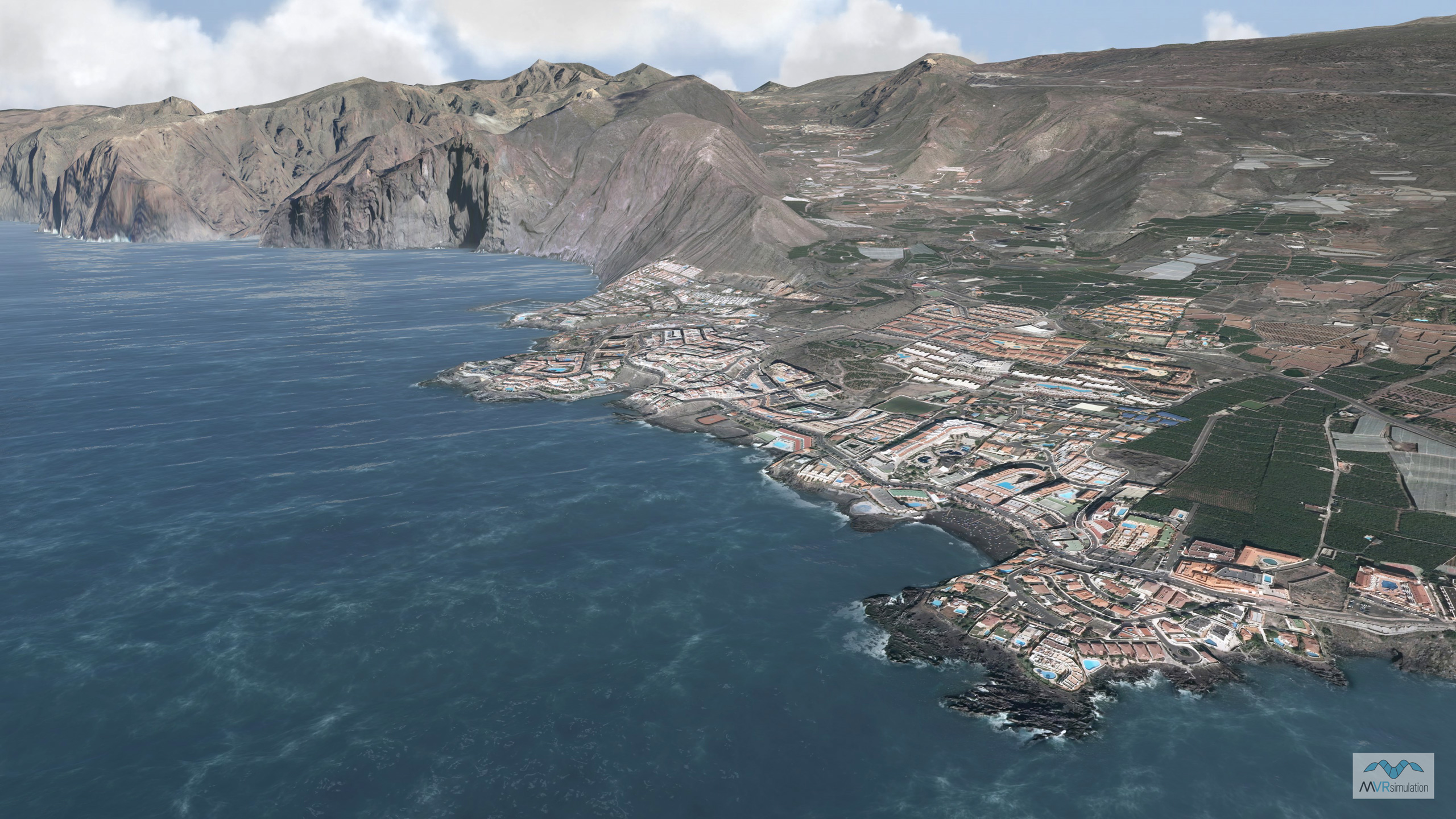
Natural color high-resolution insets with 60cm imagery
2.5 mpp natural color insets of Albania, Austria, Belarus, Bosnia and Herzegovina, Bulgaria, Croatia, Czech Republic, Estonia, Finland, Germany, Greece, Hungary, Italy, Kosovo, Lithuania, Macedonia, Montenegro, Poland, Russia (eastern), Serbia, Slovakia, Sweden, Switzerland, and Ukraine.
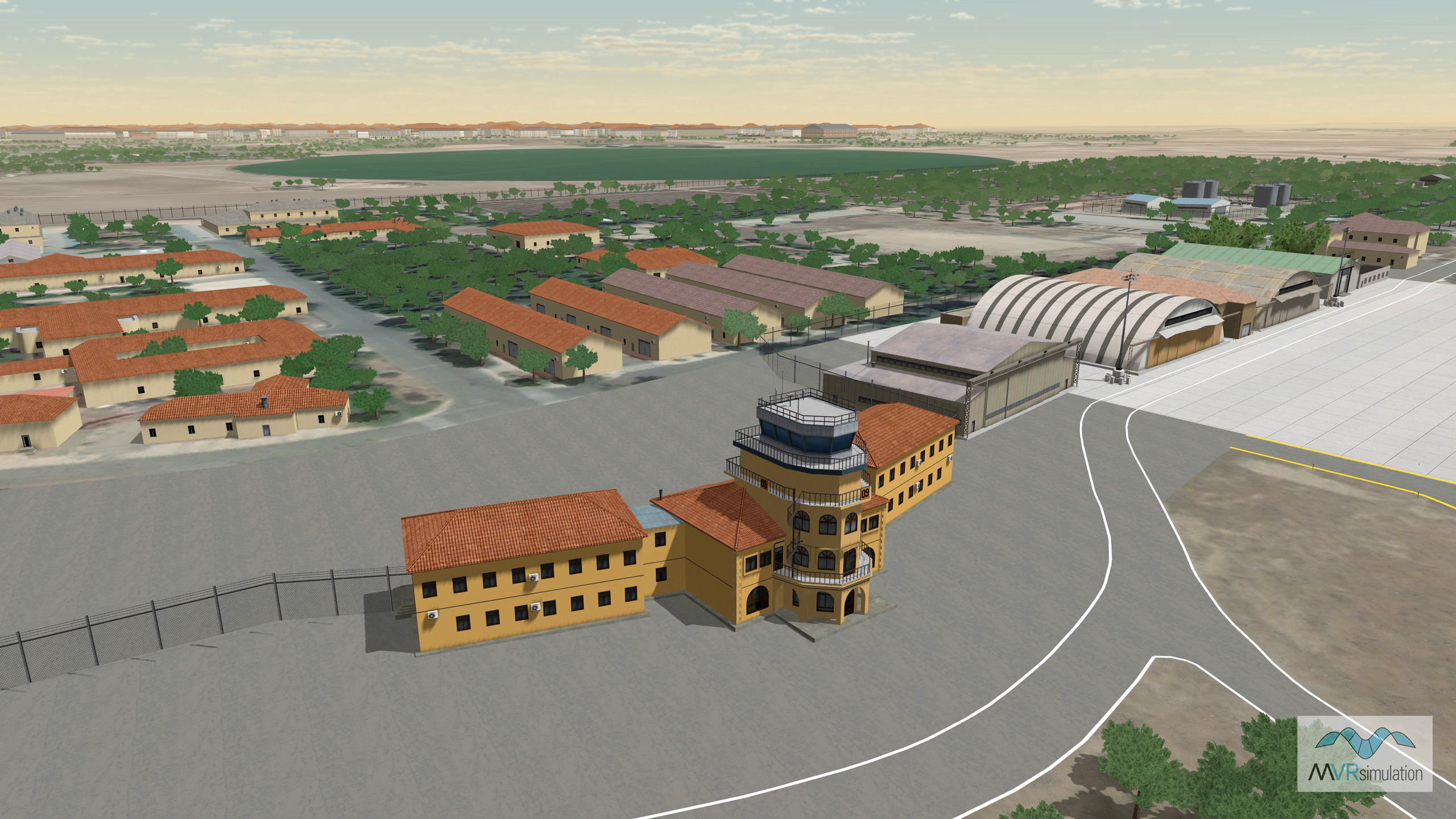
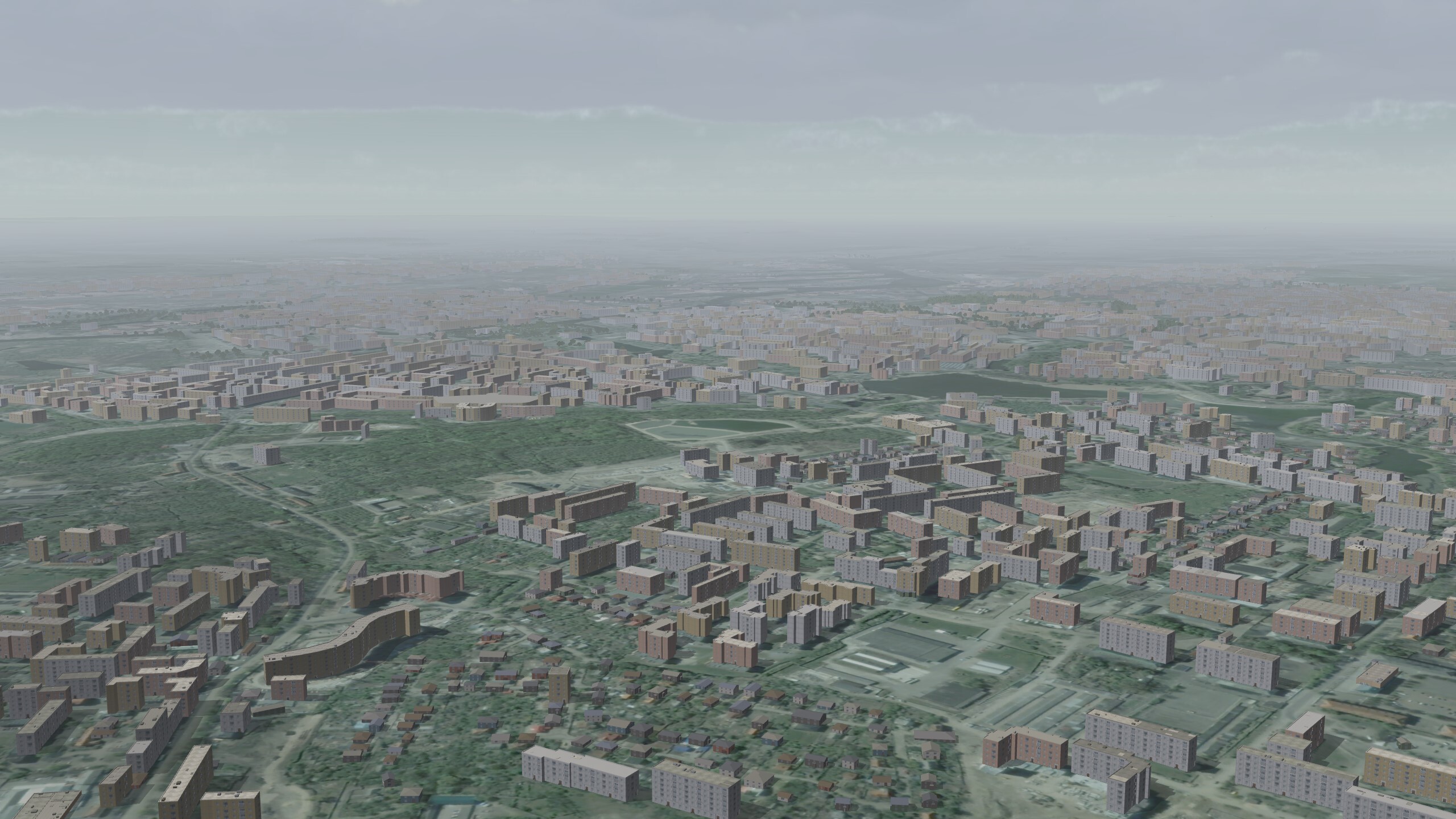
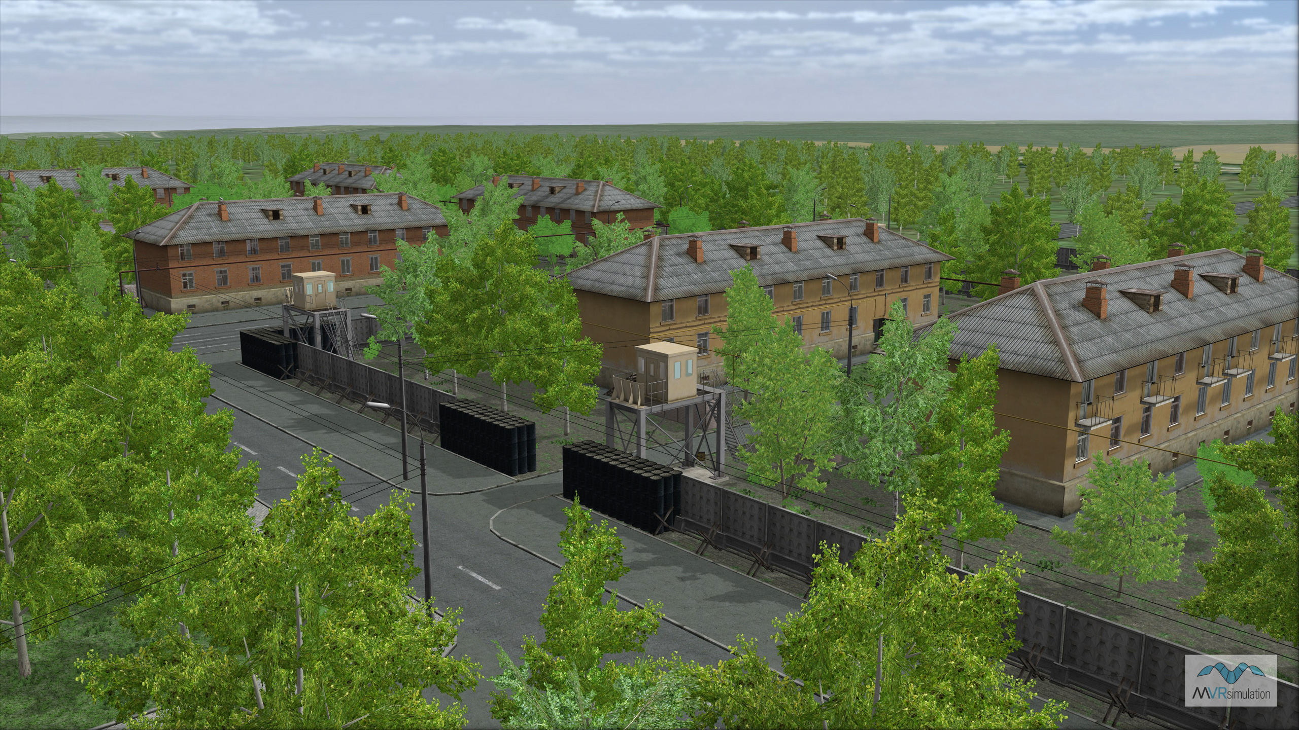
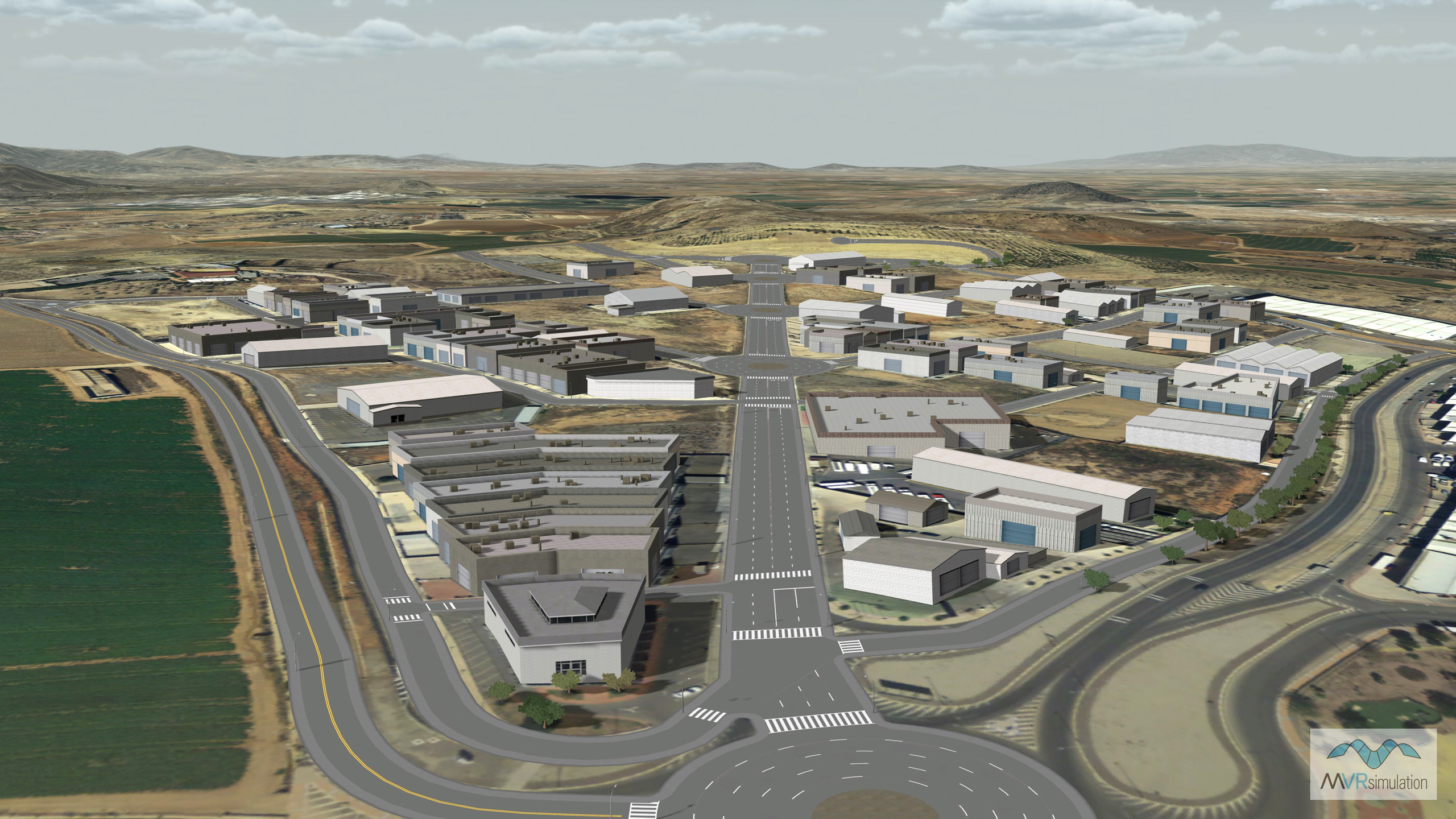
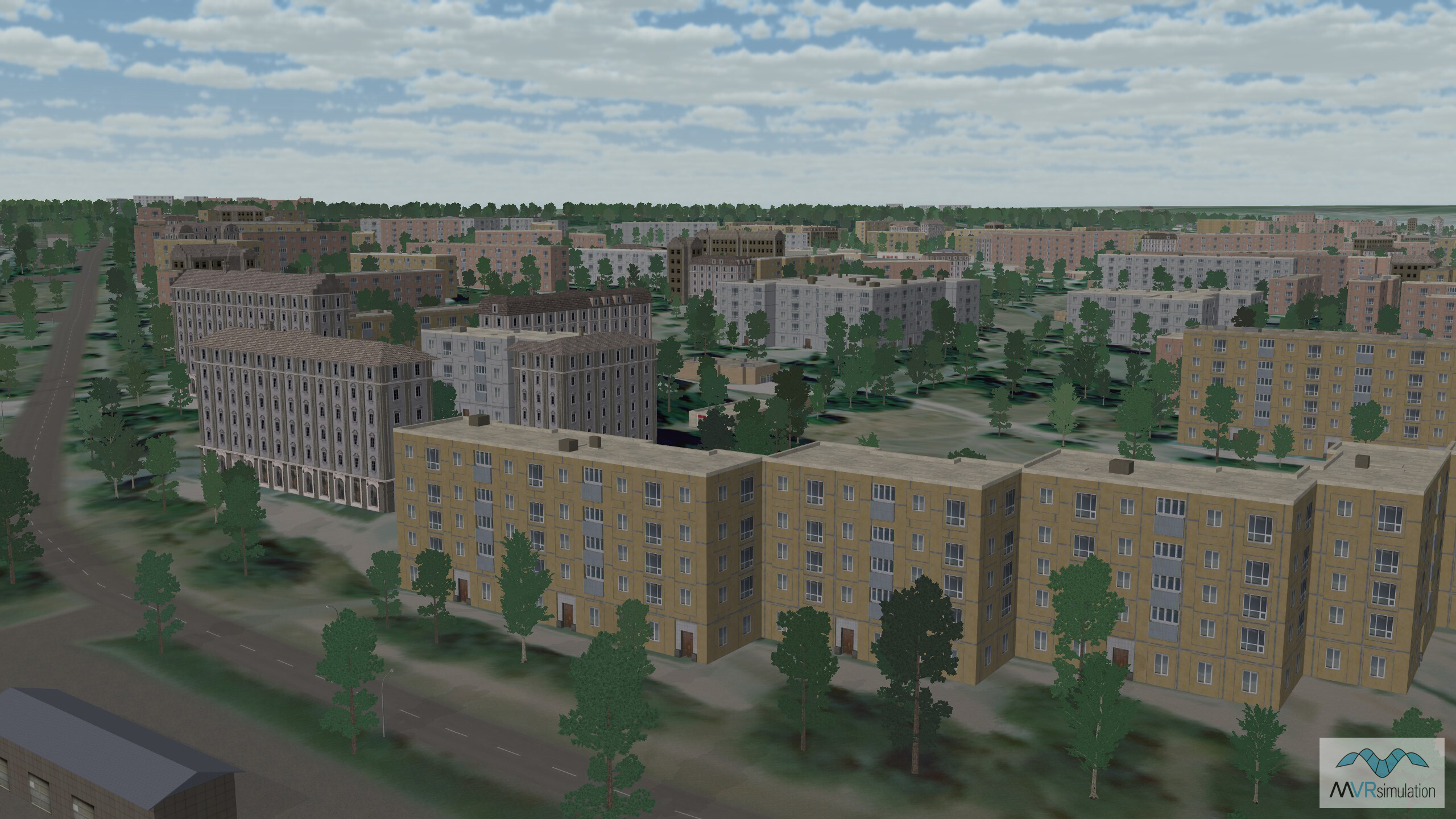
0.60 mpp natural color insets of Tirana, Albania; Vienna, Austria; Minsk, Belarus; Brussels, Belgium; Sarajevo, Bosnia and Herzegovina; Sofia, Bulgaria; Prague, Czech Republic; Paris, Lille, Naqntes, Bordeaux, Lyon, Toulouse, Marseilles, Nice, and Cannes France; Berlin, Hamburg, Munich, Stuggart, and Nuremberg, Germany; Reykjavik, Iceland, Milan, Italy; Amsterdam, Netherlands; Warsaw and Lodz, Poland; Bucharest, Romania; Kaliningrad (with geospecific culture extruded and textured in Esri CityEngine), Moscow, and St. Petersburg, Russia; Belgrade, Serbia; Geneva and Zurich, Switzerland; Kiev, Kharkiv (with geotypical MOUT site), and Odessa, Ukraine; and London, United Kingdom.