3D Terrain Regions
Continental and U.S. Terrain Regions
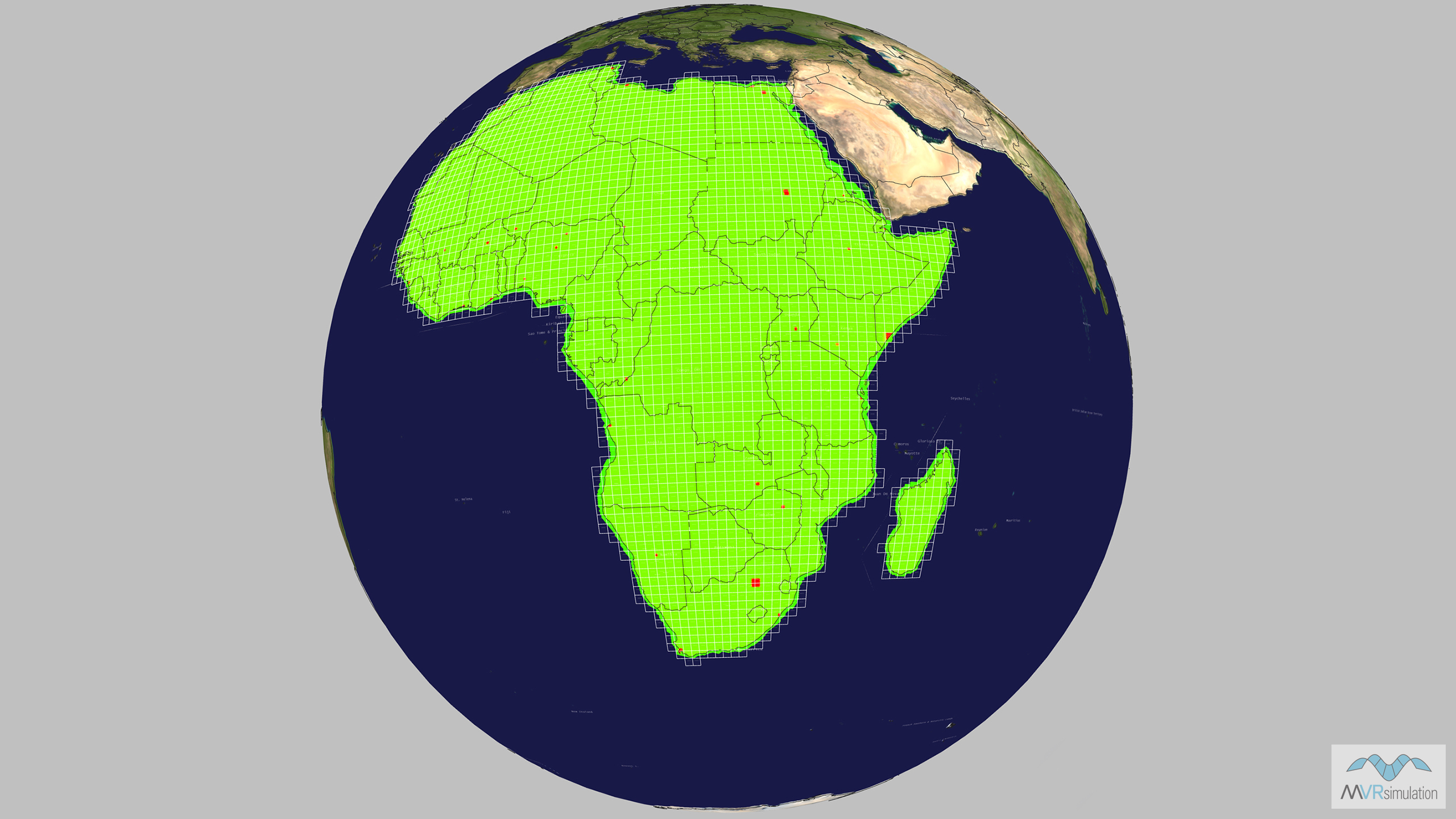
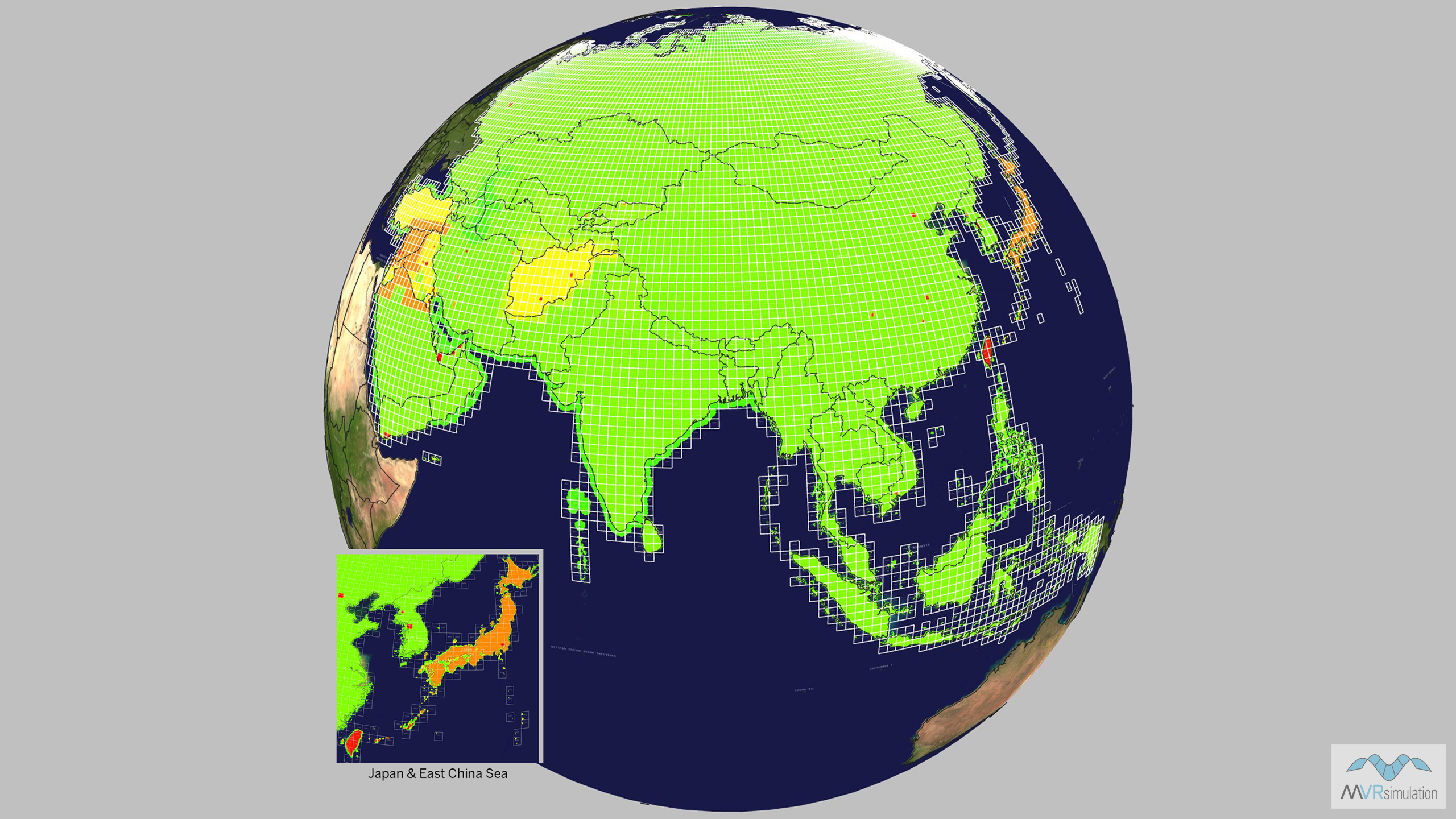
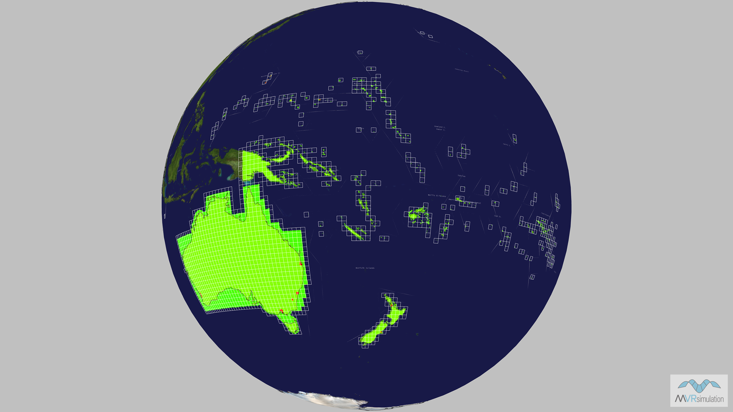
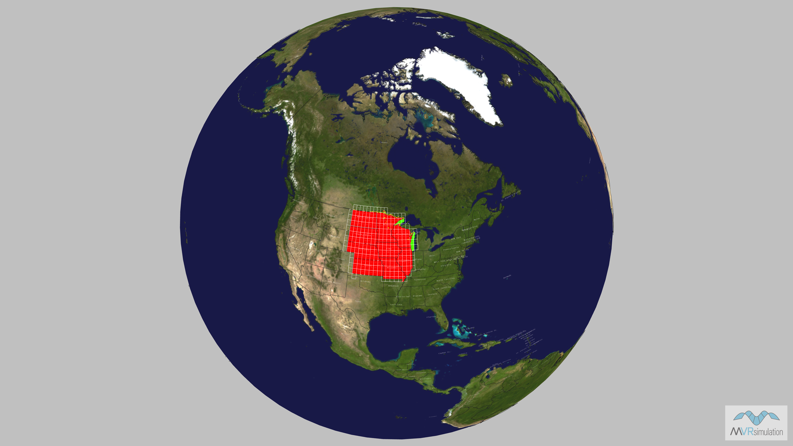
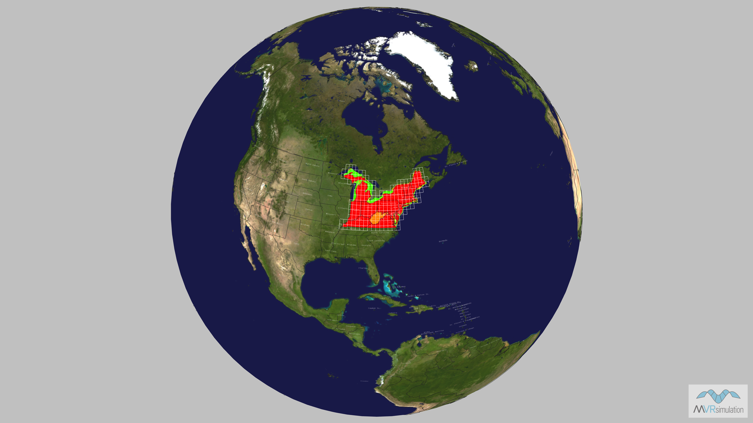
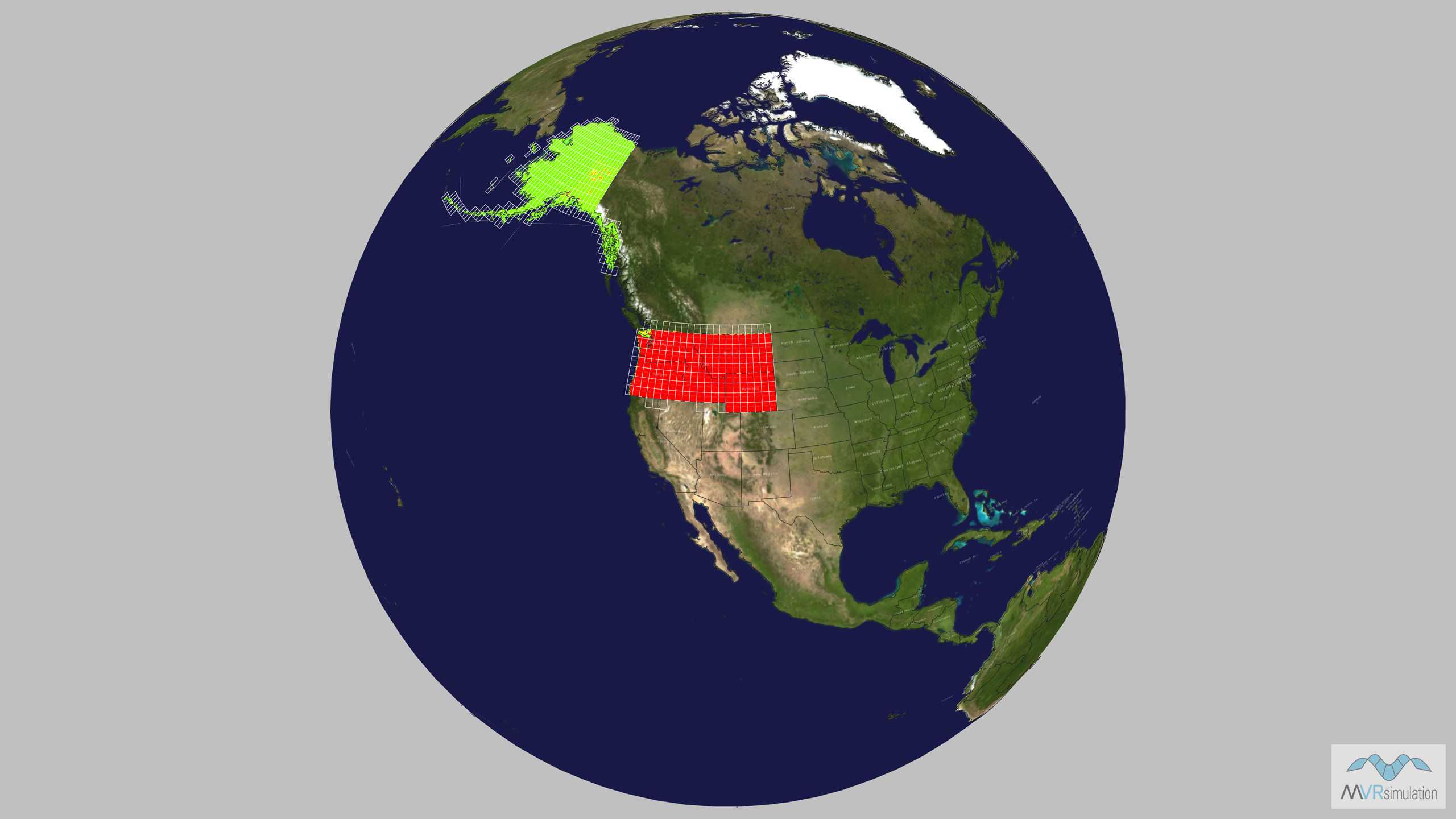
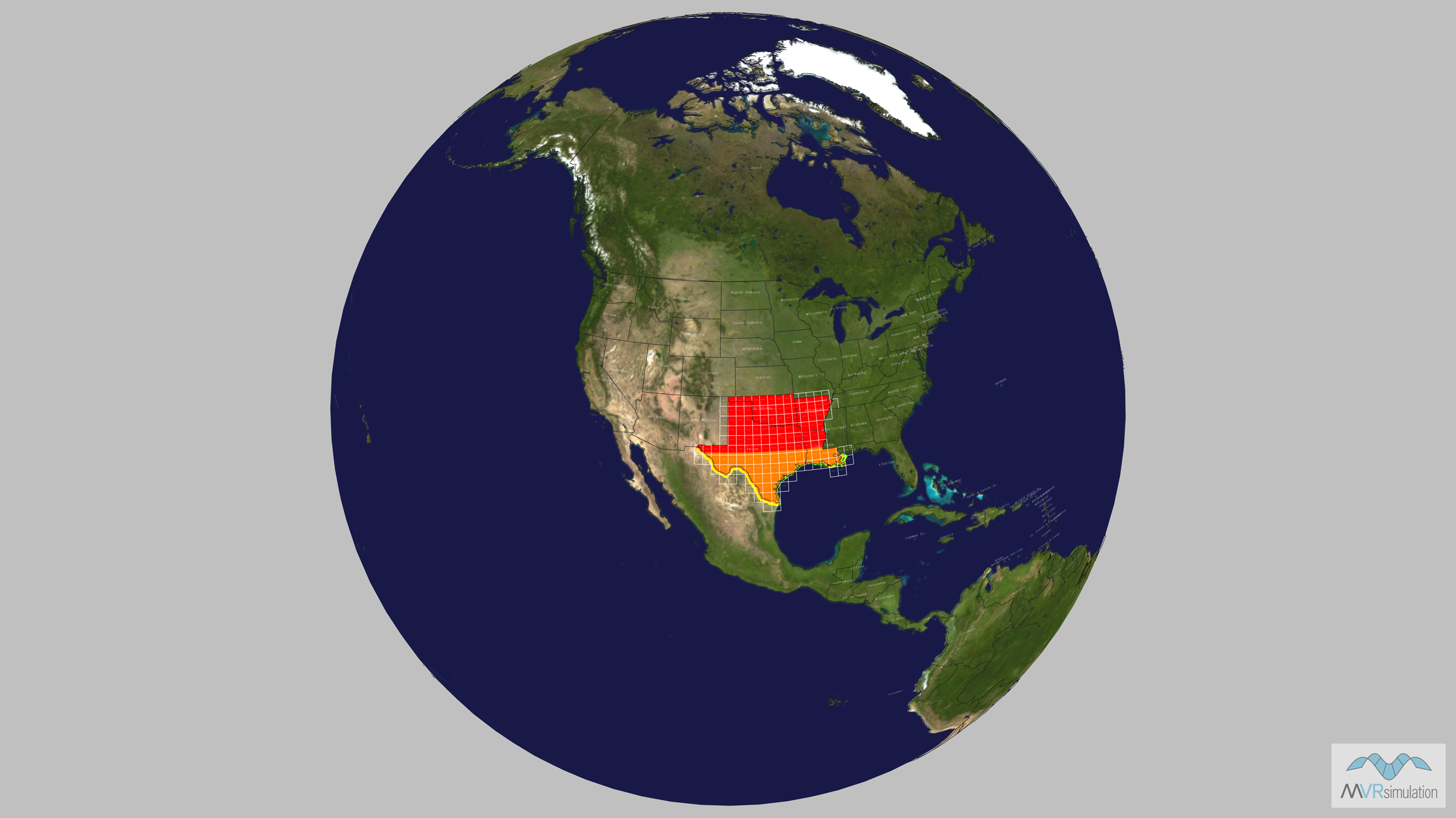
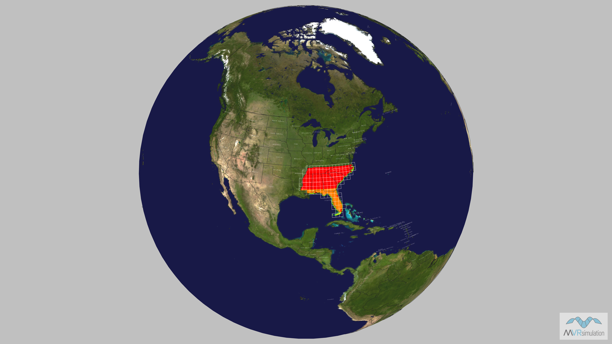
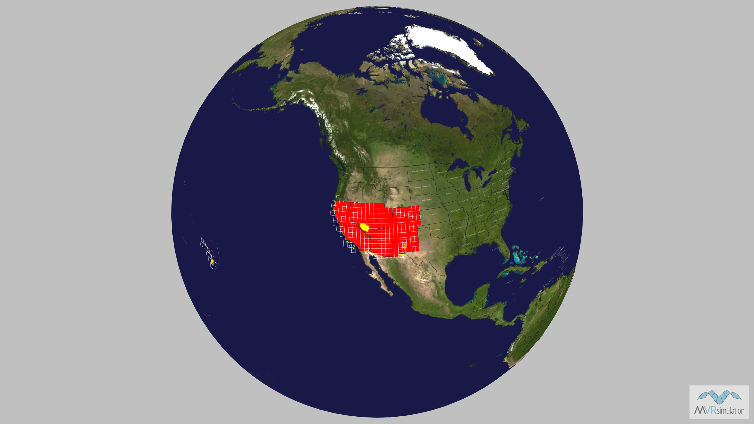
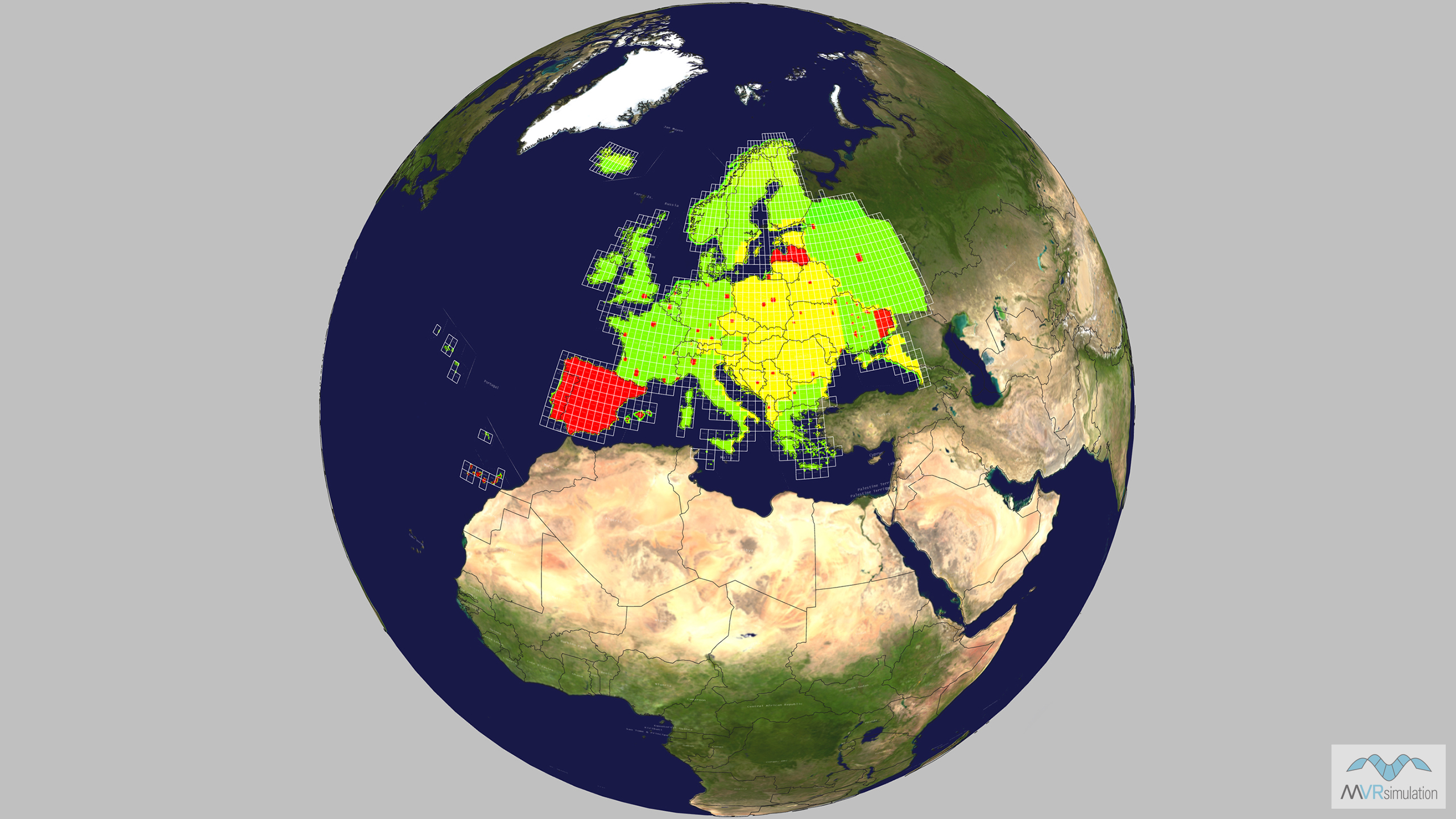
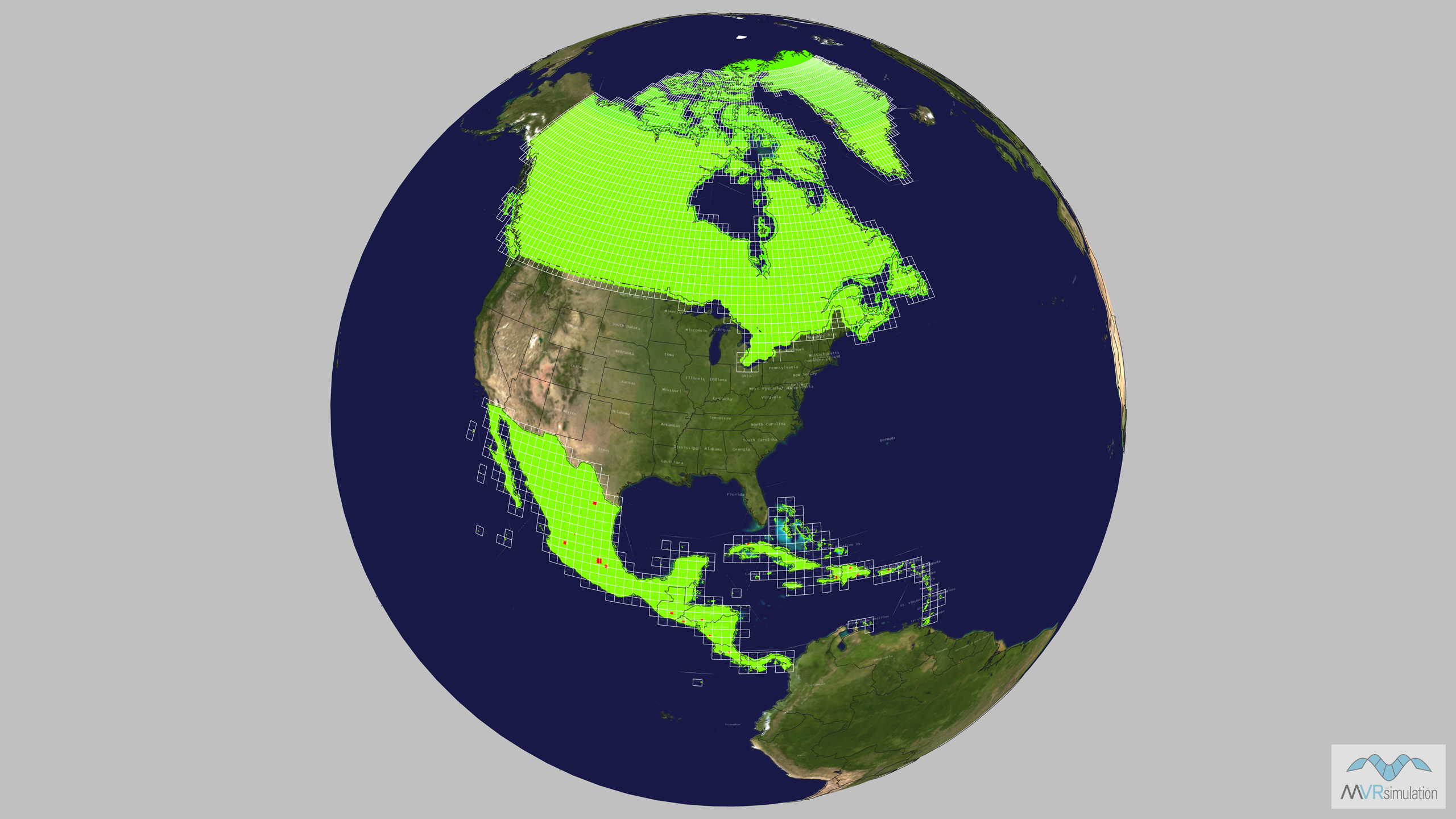
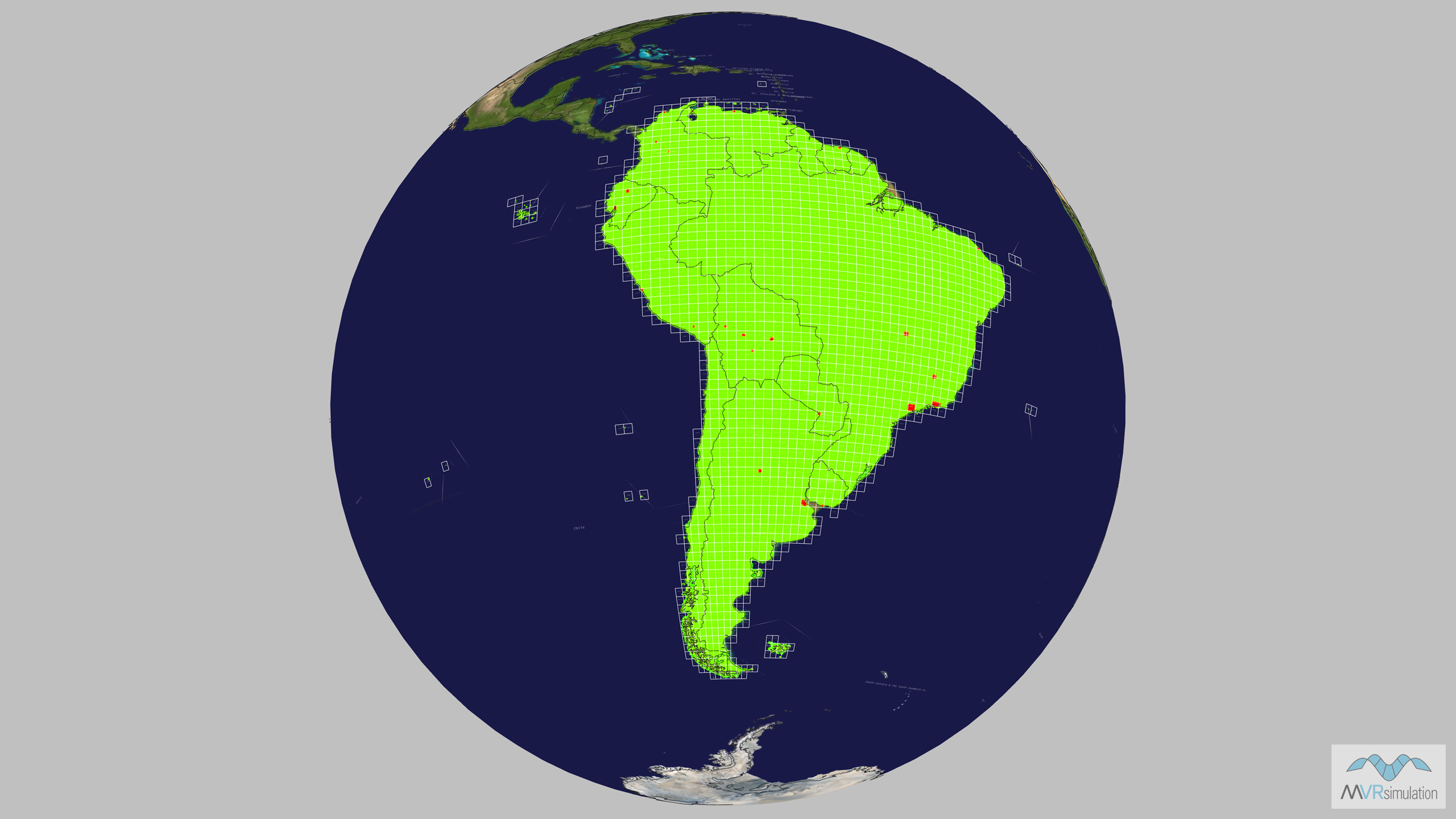
MVRsimulation offers comprehensive 3D terrain databases covering most of the world, including the Continental U.S. (CONUS) plus Alaska and Hawaii, Africa, Asia & Middle East, Australia & Oceania, Europe, North America, and South America. The CONUS terrain is divided into six sub-regions: Northwest (including Alaska), North Central, Northeast, Southwest (including Hawaii), South Central, and Southeast. These regional terrain databases are designed for real-time use in MVRsimulation’s Virtual Reality Scene Generator (VRSG) software. Delivered in MVRsimulation’s patented, round-earth VRSG terrain architecture (.MDS), the databases are suitable for a wide range of applications such as cockpit simulation, ISR, CAS training, and ground forces training. Each terrain drive includes high-resolution insets of areas of interest (AOIs), to which users can add custom cultural features or 3D models using MVRsimulation’s Scenario Editor and VRSG 3D Model Library.
To obtain a 3D regional terrain database, customers can order specific regions by submitting a quote request. Regional databases are delivered on portable external USB hard drives. For complete world coverage MVRsimulation can provide a direct-attached, large-volume (DALV) storag device for a single station or a Terrain Server for multi-system, networked environments. Terrain regional databases are available to U.S. Government or NATO agencies and contractors with active VRSG7 software maintenance.