Tonopah 3D Terrain

Tonopah 3D Terrain

Tonopah 3D Terrain

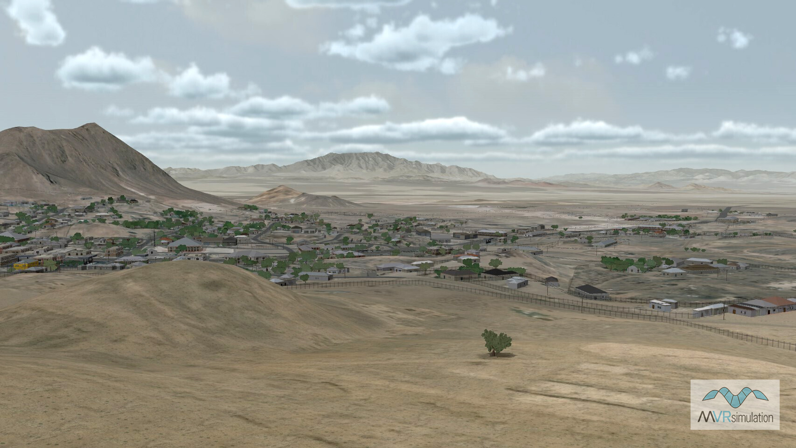
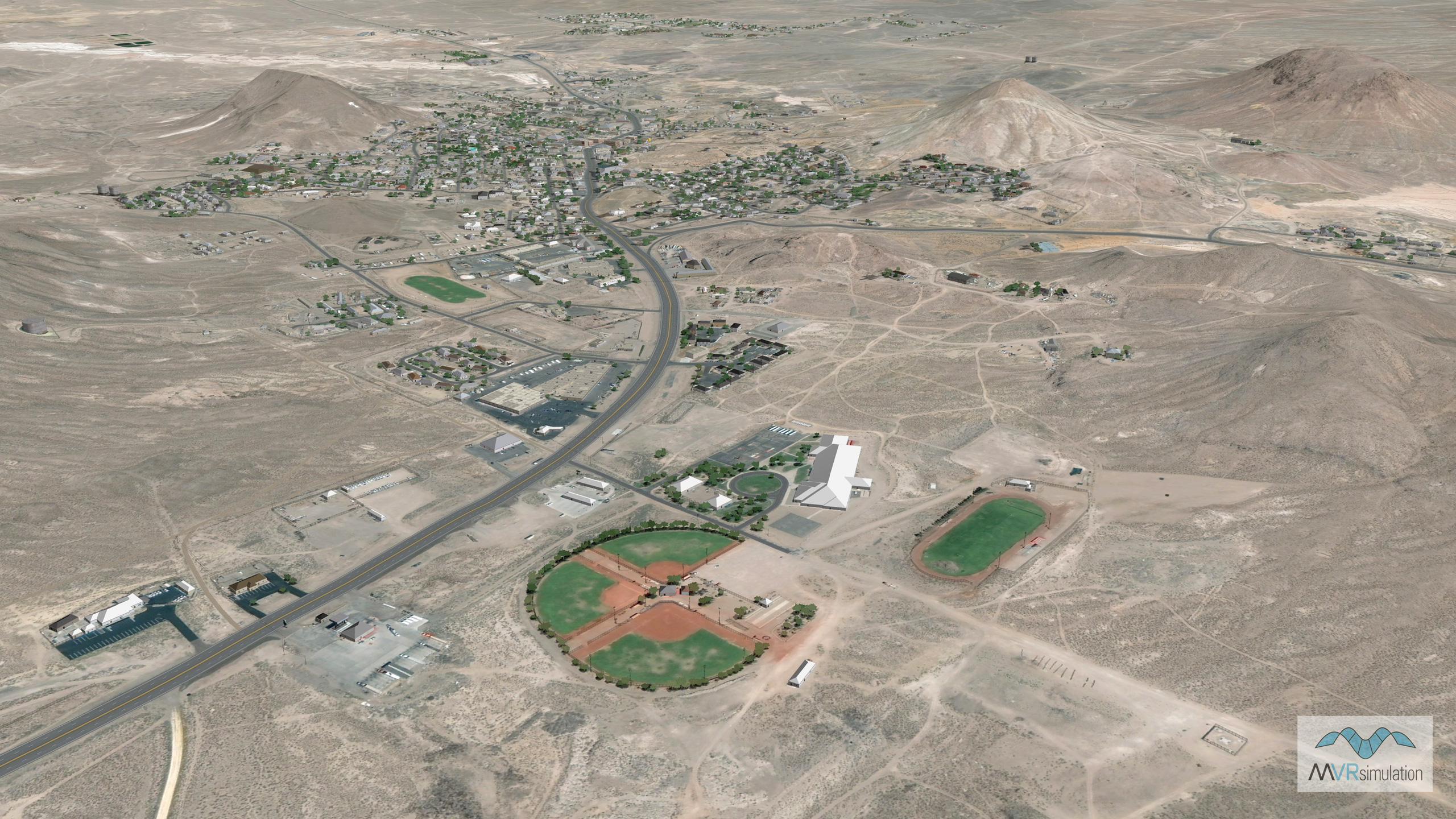
As part of the ongoing effort to build cultural areas of interest (AOI) for its CONUS++ 3D terrain, MVRsimulation recently built a 3D terrain dataset of the town of Tonopah, Nevada, with .30 meters per pixel (mpp) resolution imagery from Maxar blended to the underlying 1 mpp CONUS++ imagery and 10m NED elevation data blended to underlying DTED-1 elevation data. This terrain was built with the newest version of Terrain Tools for Esri® ArcGIS®.

Tonopah is an historic mining town of 16.2 sq miles located between Las Vegas and Reno, at the junction of U.S. Highways 6 and 5 in Nye Country, Nevada.

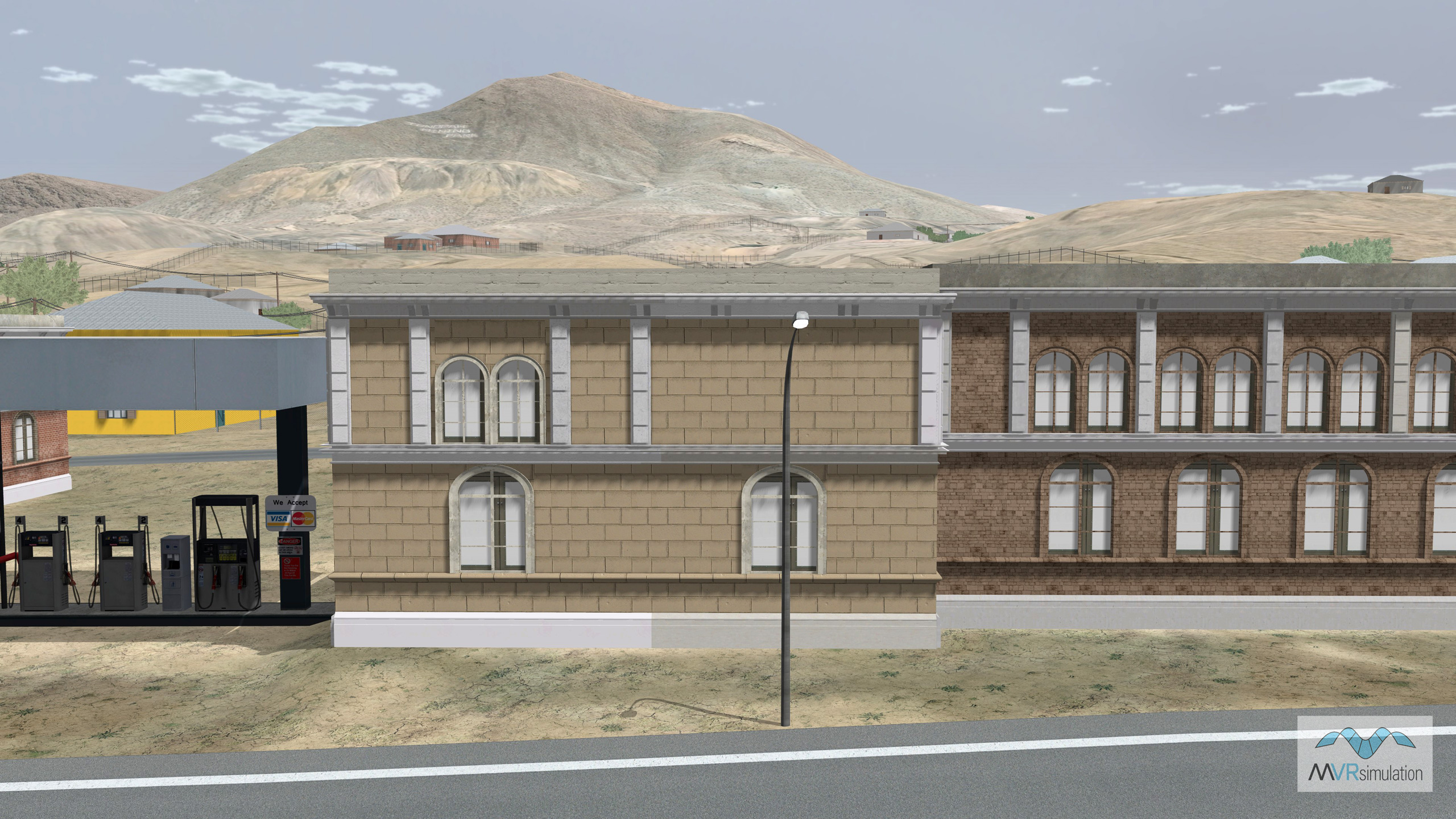
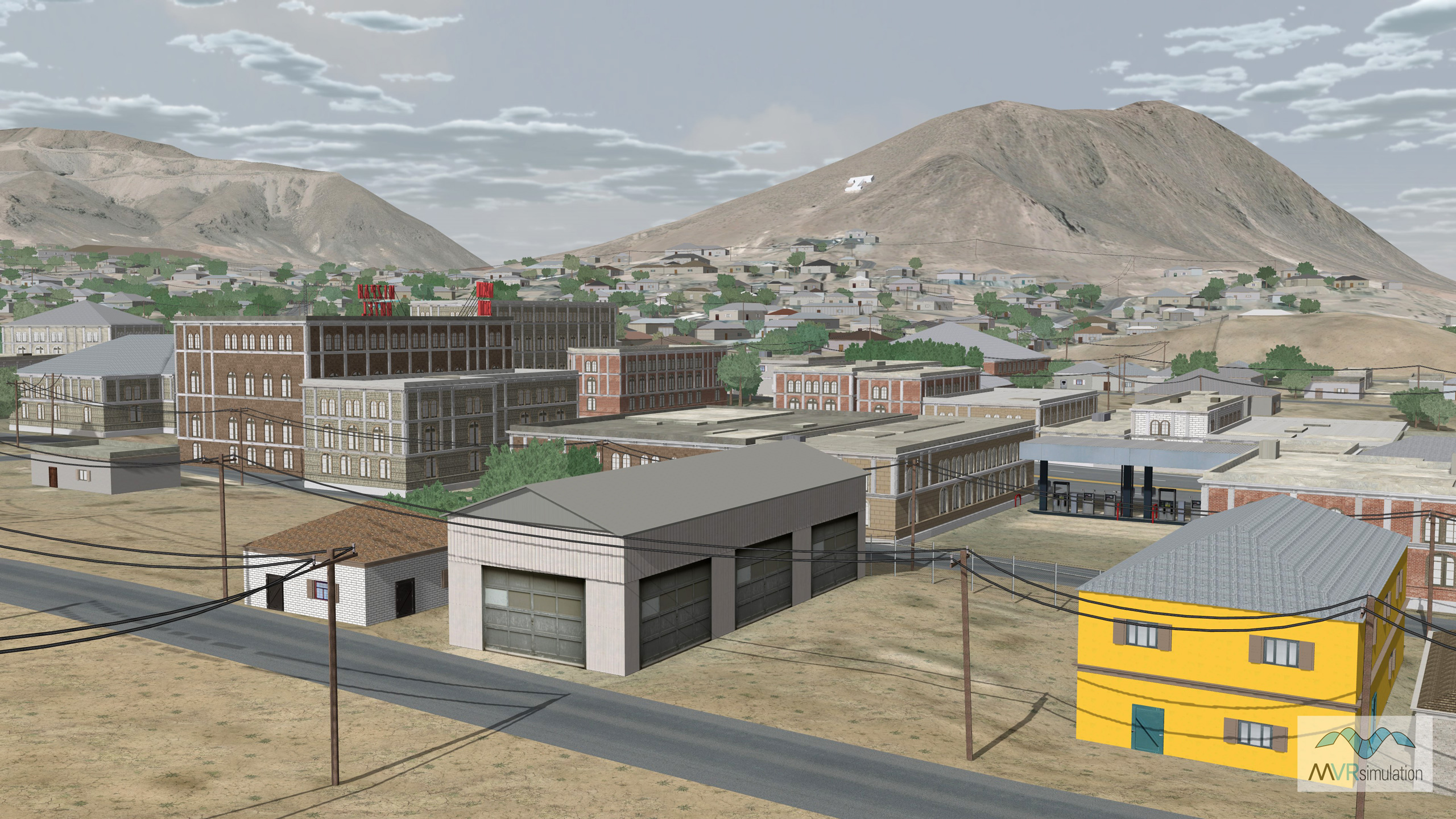
MVRsimulation VRSG real-time scene of Tonopah, Nevada, 3D terrain.

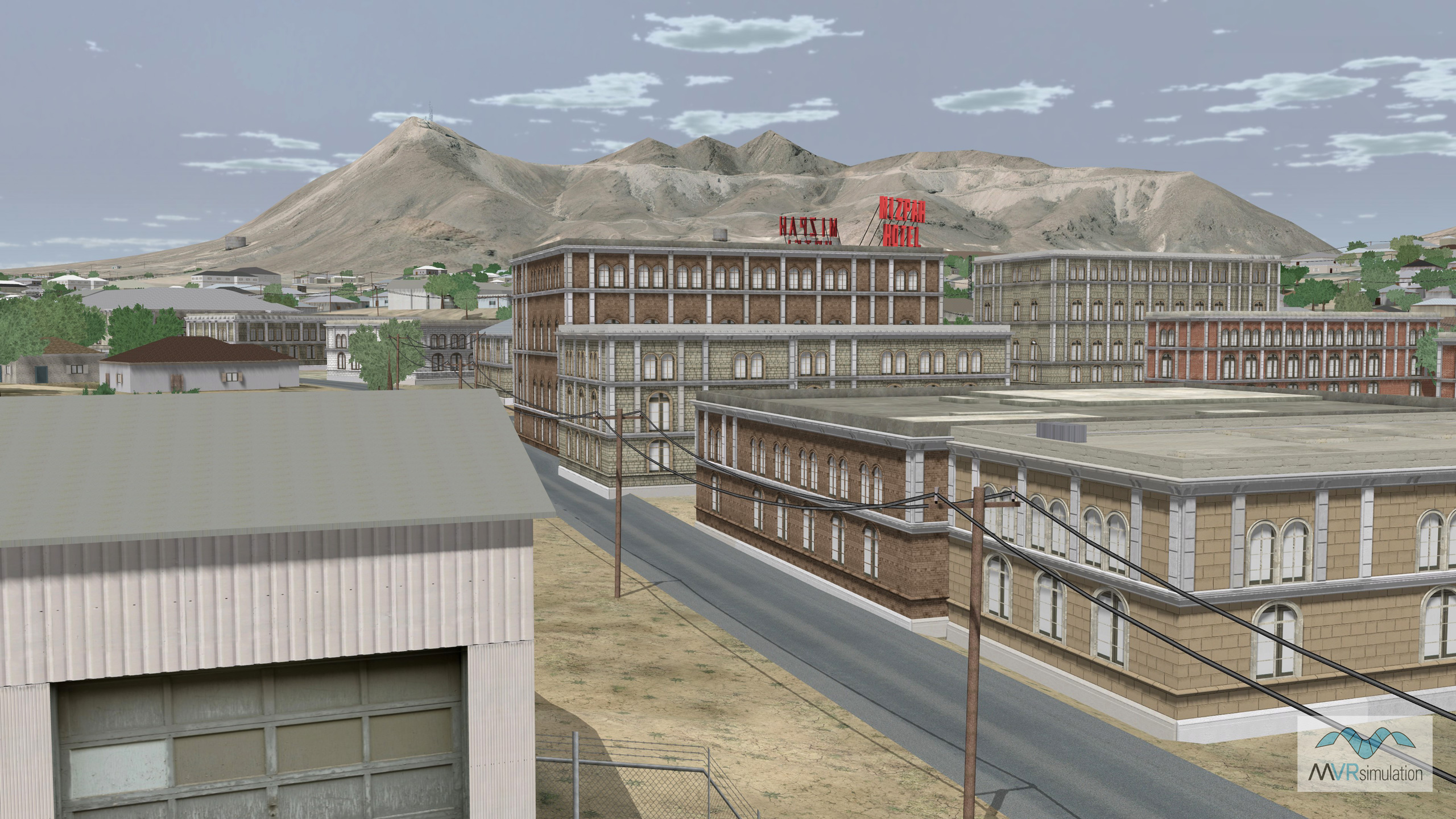
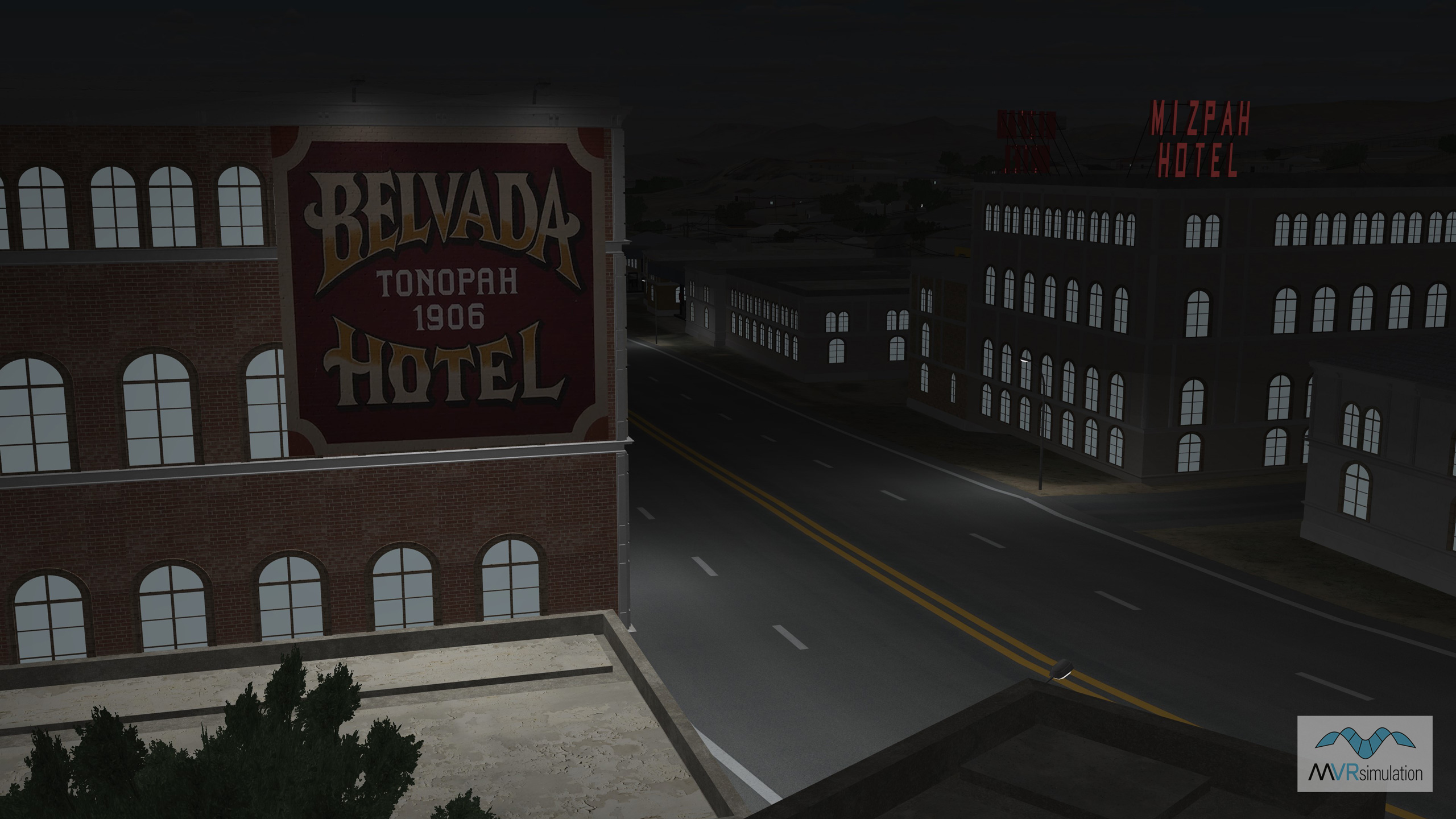
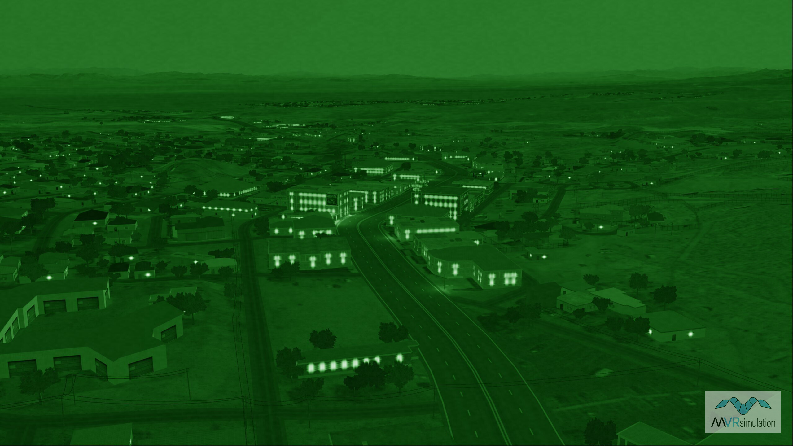
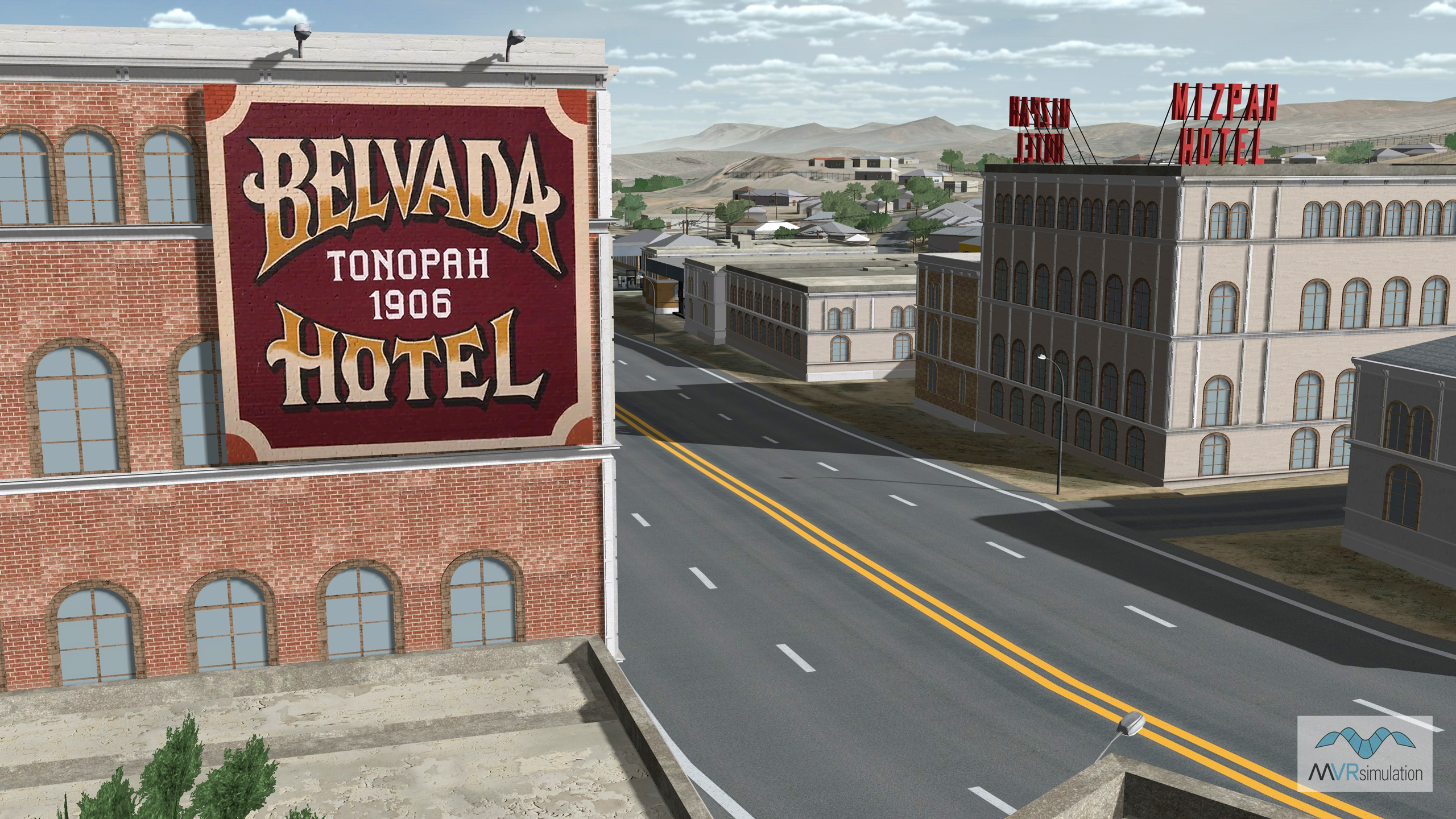
Cultural features for the virtual Tonopah terrain include: 2,129 geotypical building models generated in Esri CityEngine that were compiled into the terrain, as well as road networks, and models from MVRsimulation's robust culture model libraries: 164 powerlines, 77 streetlights, radio towers, antennas, and water tanks. Building models include the historic Mizpah Hotel. For nighttime viewing, building models and signage contain emissive light-map textures and the streetlights contain light lobes. The terrain is also populated with 4,062 trees, which are color-blended to match the underlying imagery. 

MVRsimulation’s Terrain Tools for Esri ArcGIS with a map of Tonopah, Nevada on the left, and the resulting geospecific 3D terrain of Tonopah rendered in VRSG on the right.

This new Tonopah 3D terrain dataset, built with Terrain Tools in MVRsimulation’s round-earth VRSG terrain format, for rendering in VRSG,  is available as part of MVRsimulation’s Southwest CONUS++ terrain drive to all customers who are on active VRSG software maintenance and are US Government agencies or contractors (for official use only). The terrain dataset is delivered on an external hard drive. (A nominal fee covers the processing of large quantities of data in the VRSG terrain format and the hard drive distribution media.) This terrain dataset can be viewed only with a valid VRSG version 7.0 or above software license with active software maintenance.