
Search Terrain
Search the VRSG Terrain Database
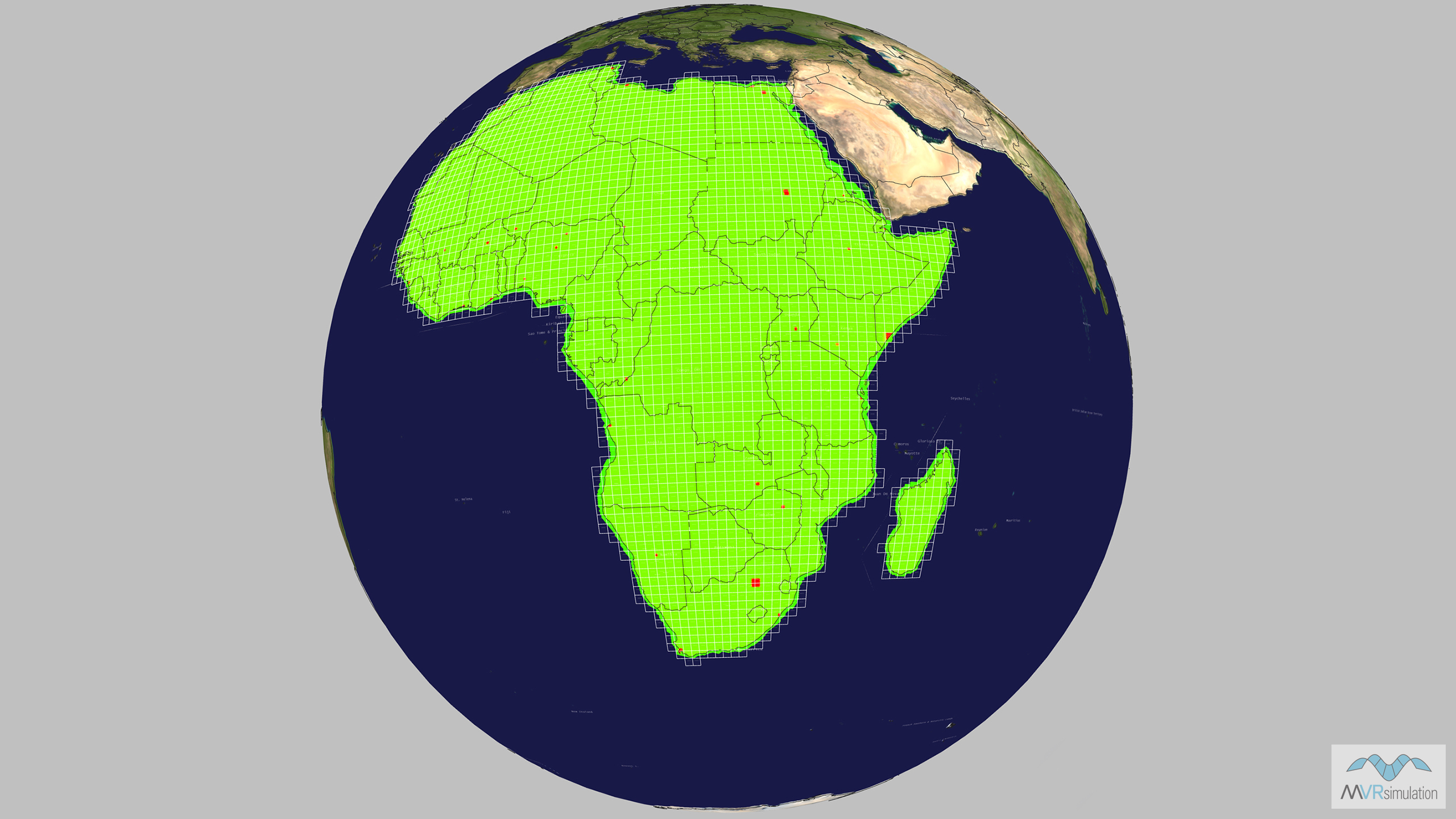
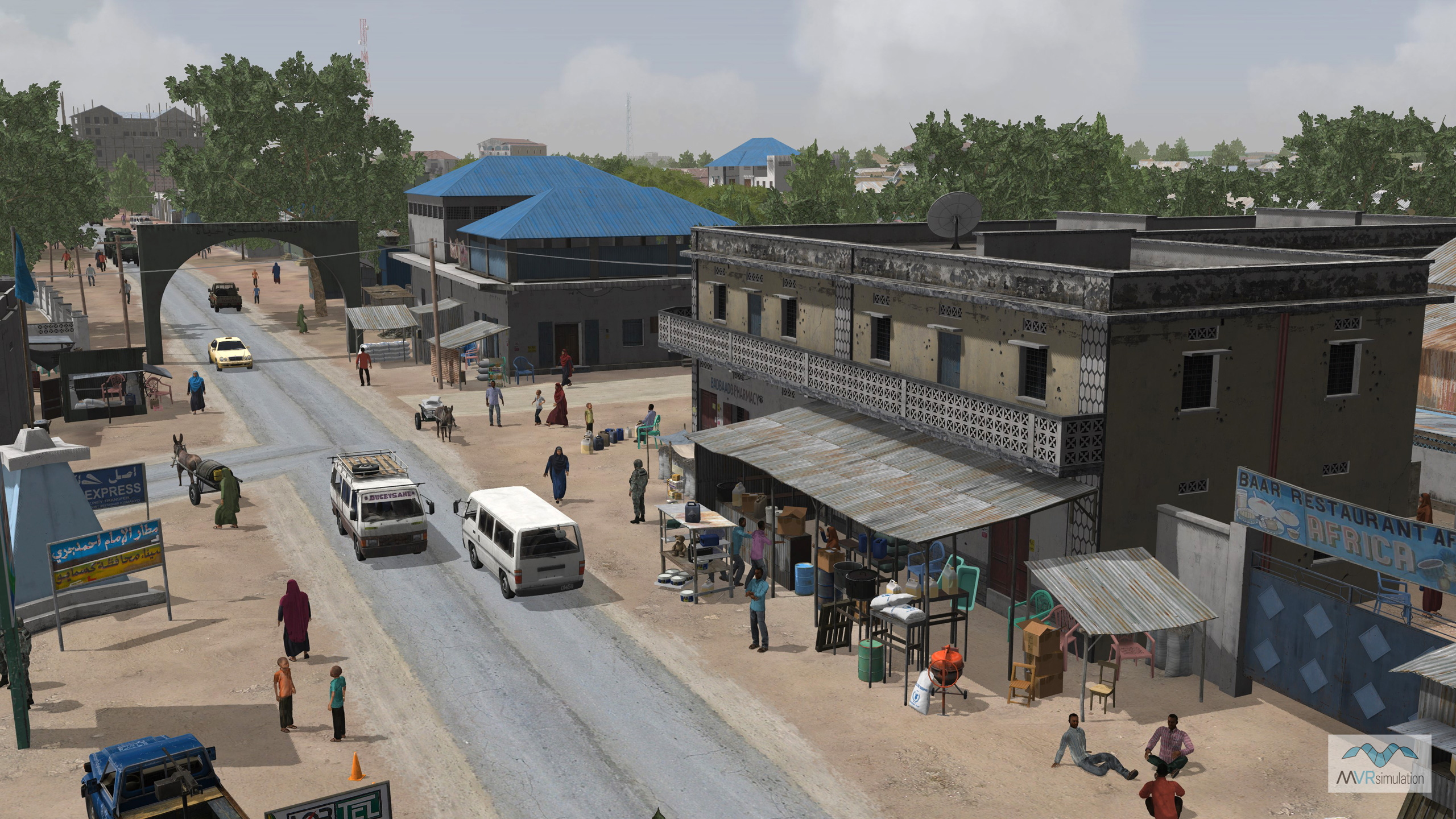
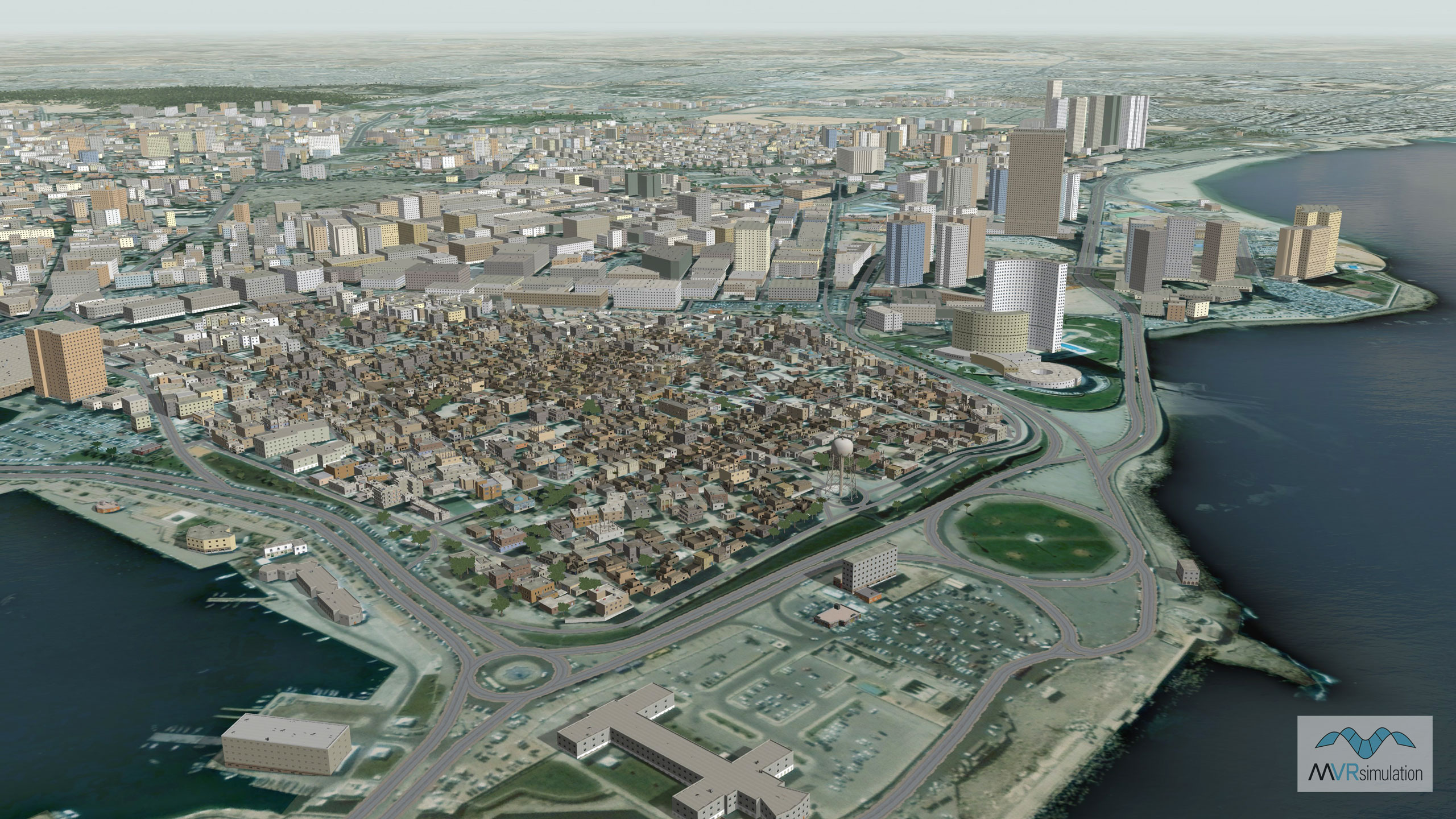
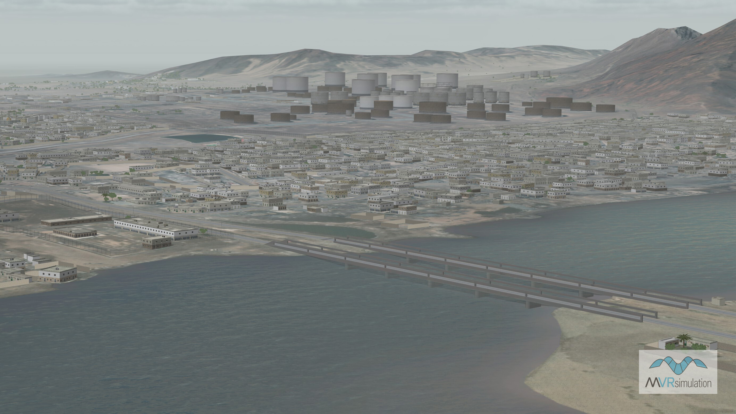
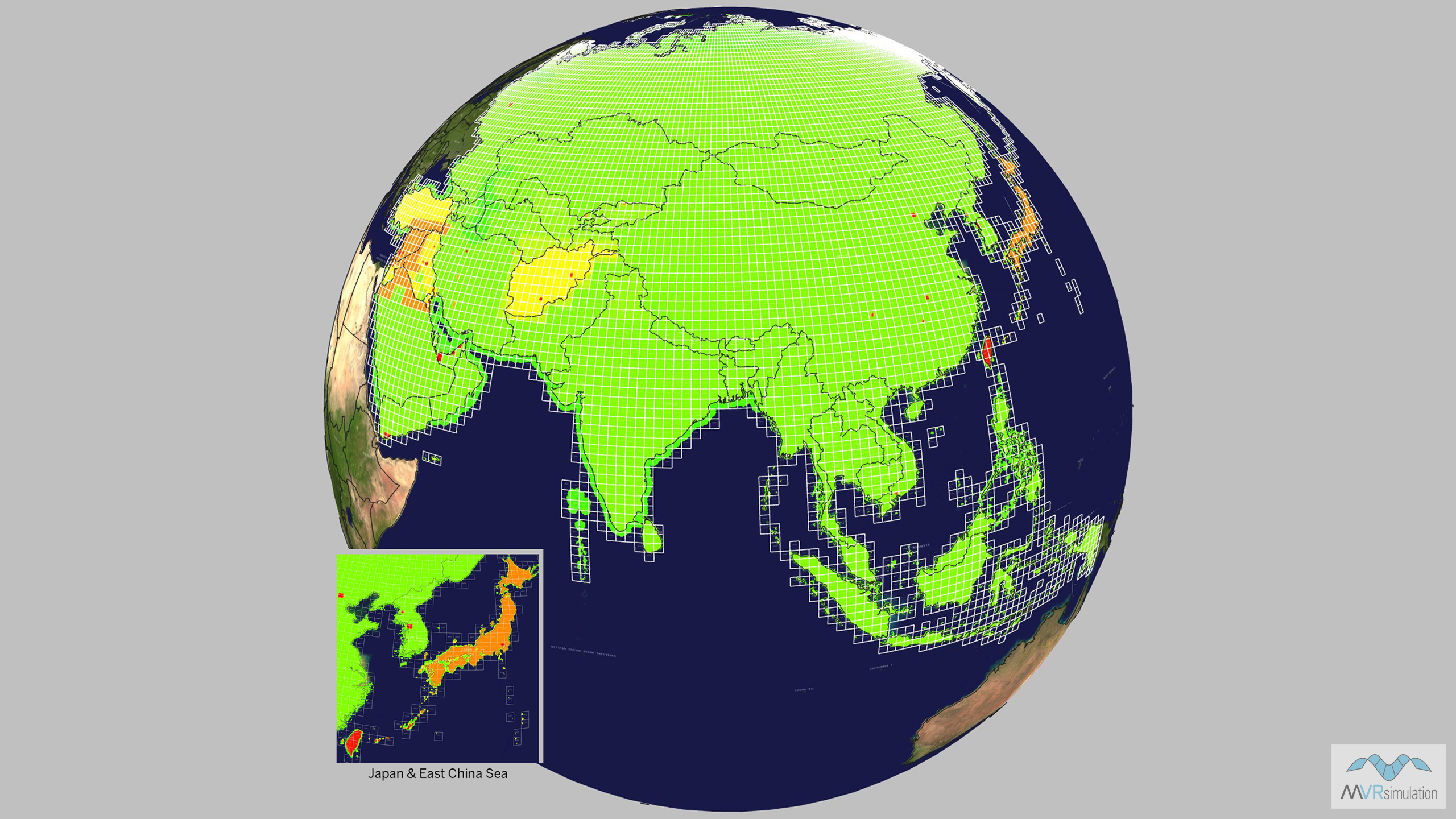
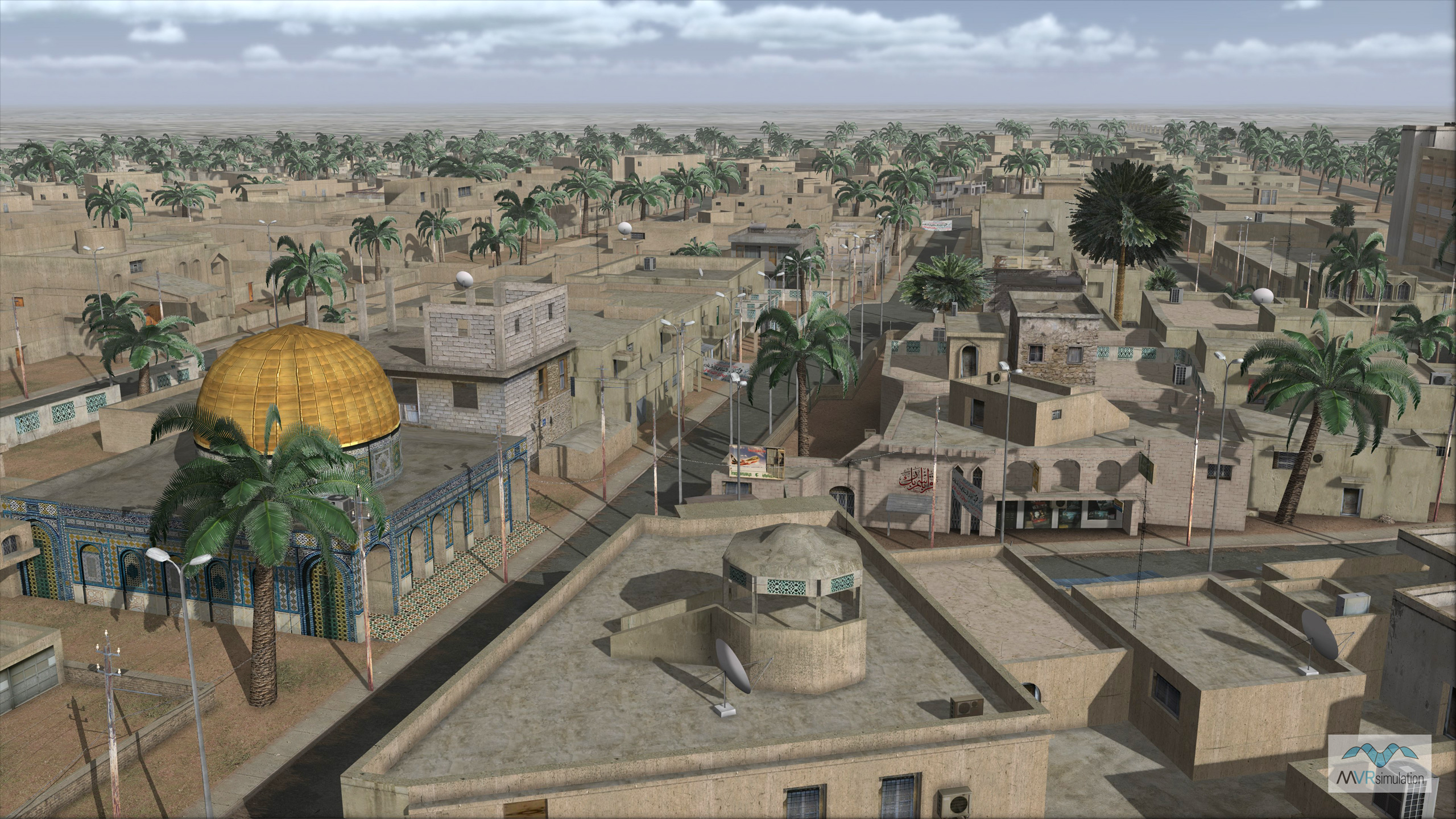
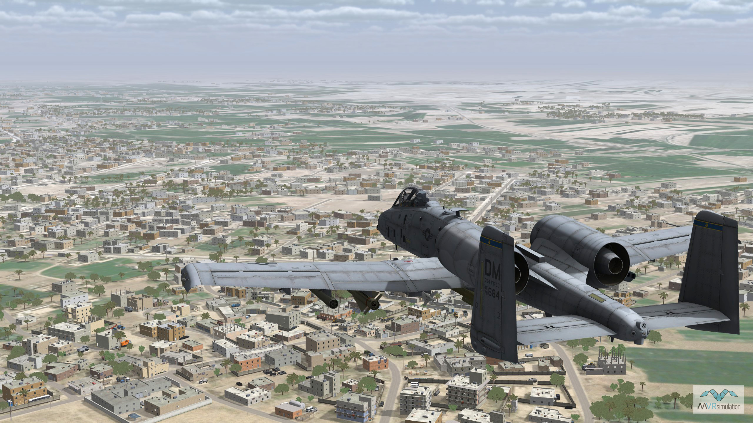
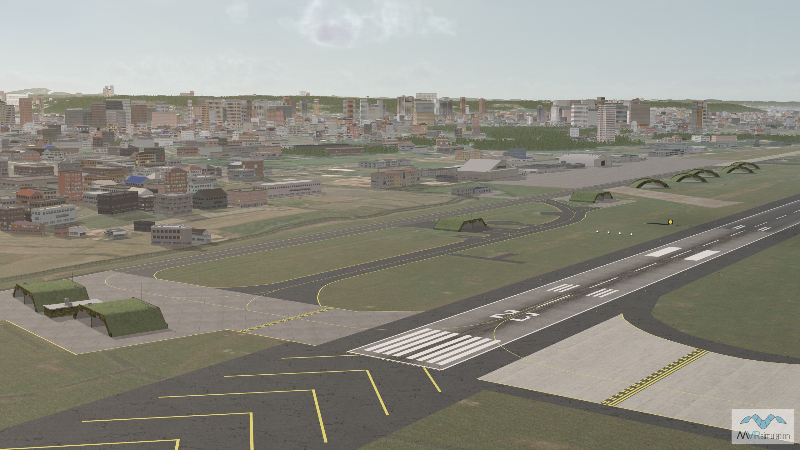
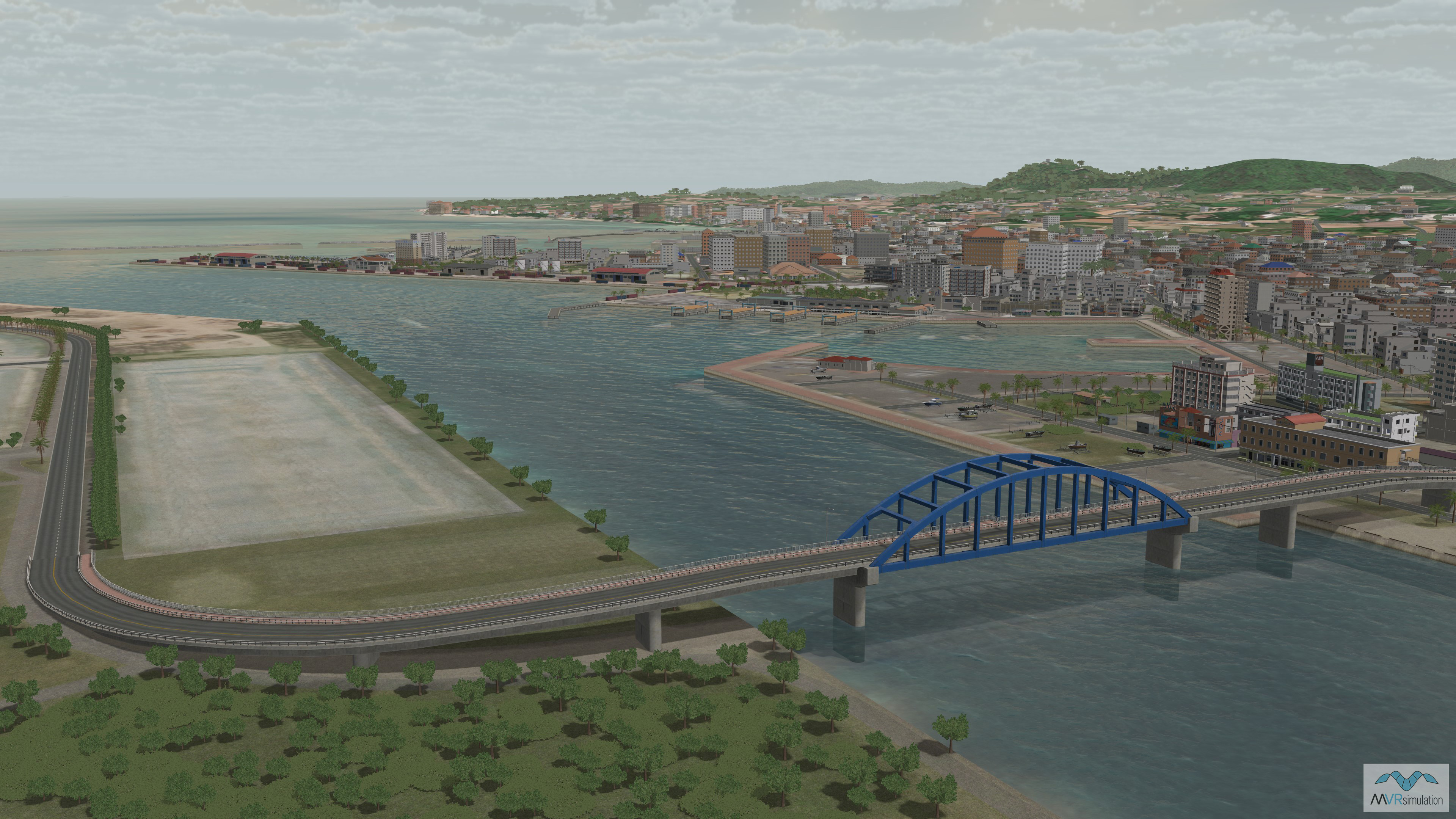
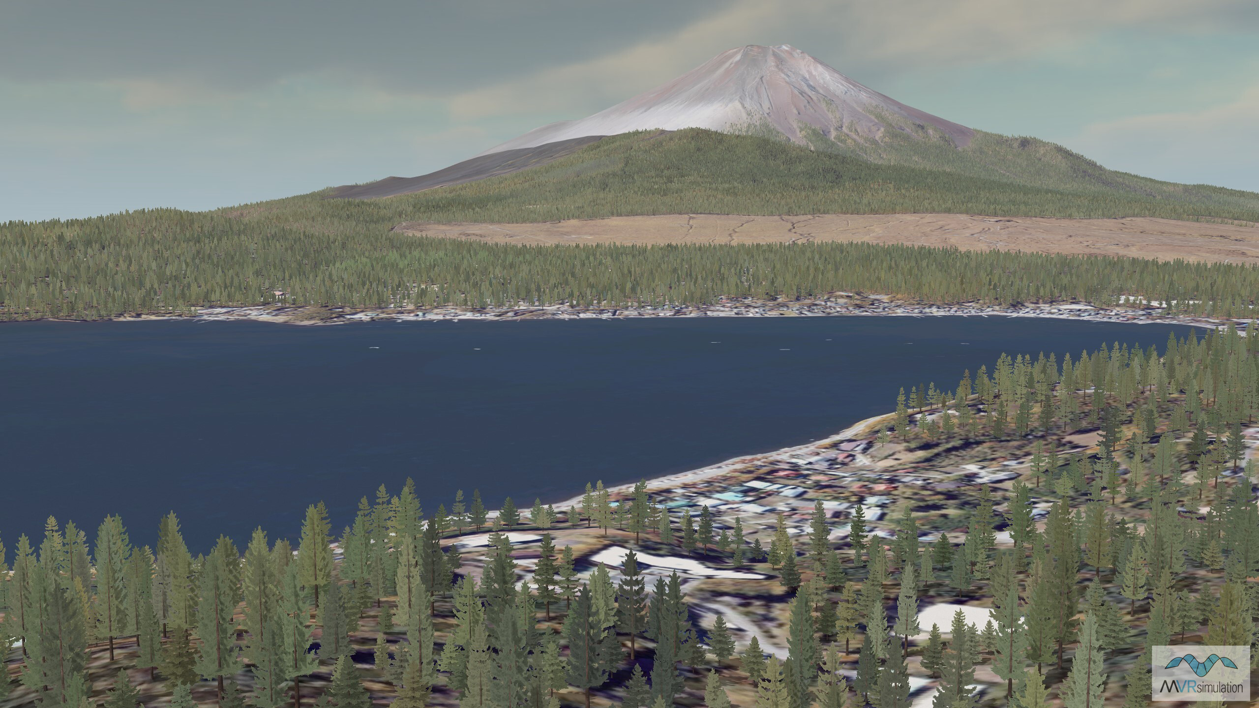
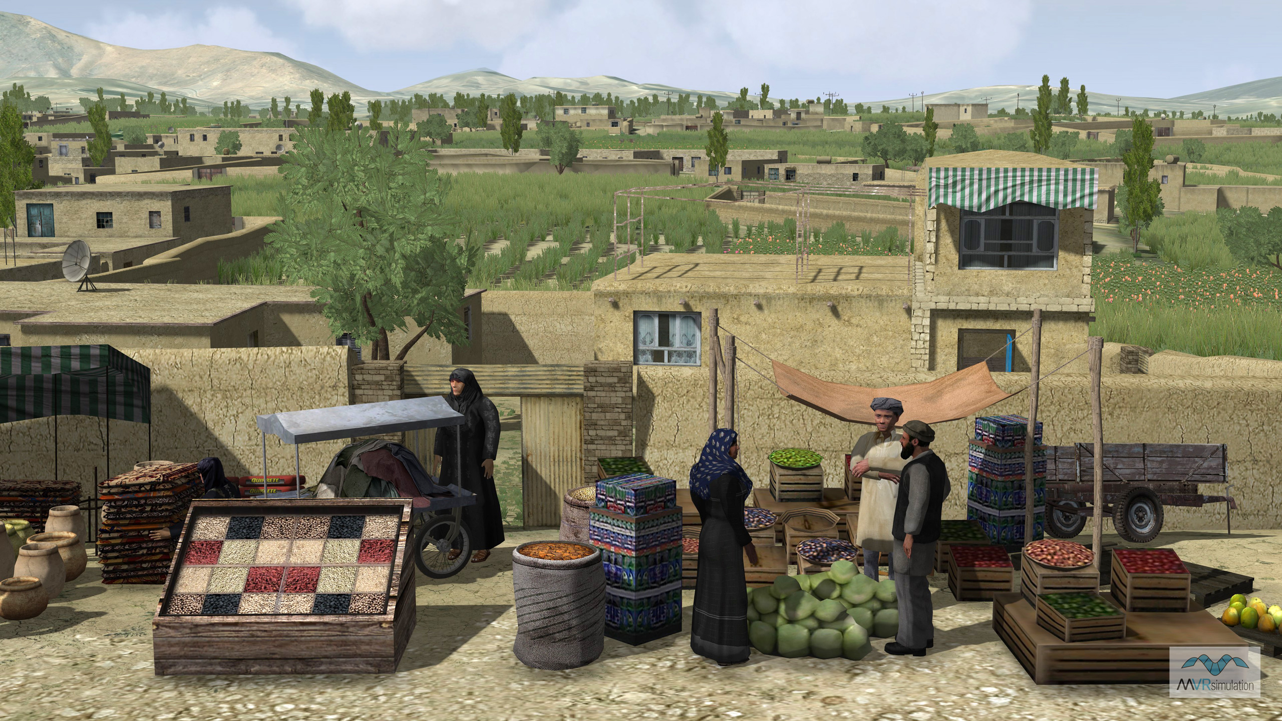
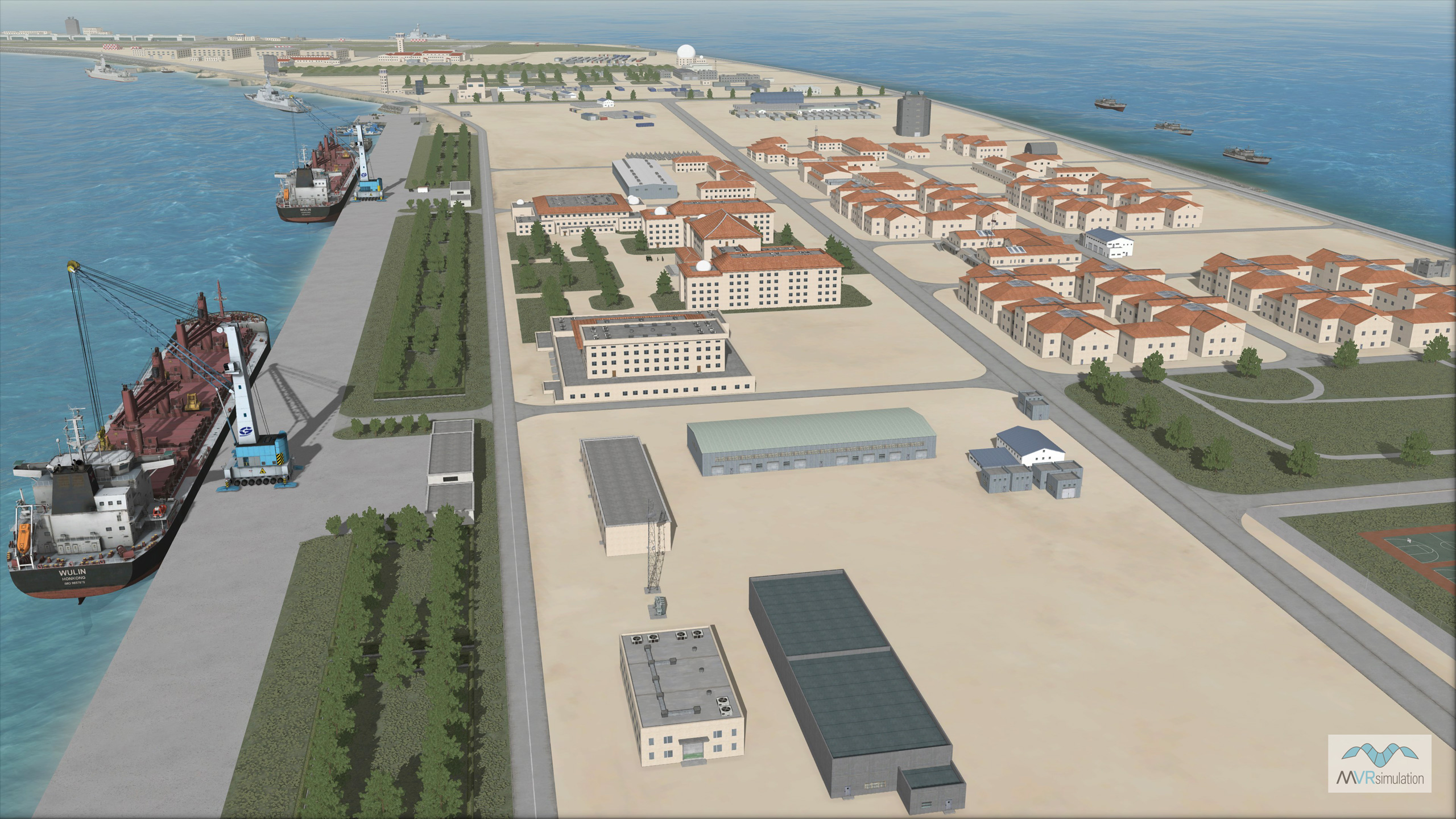
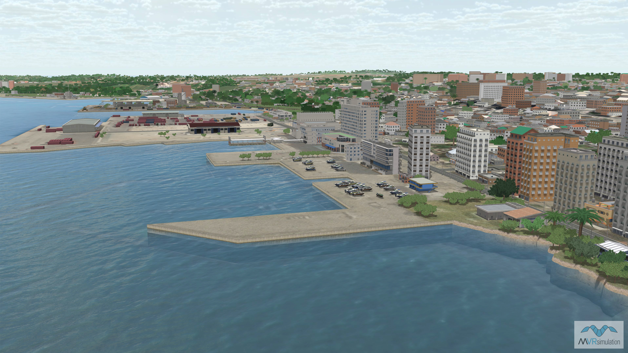
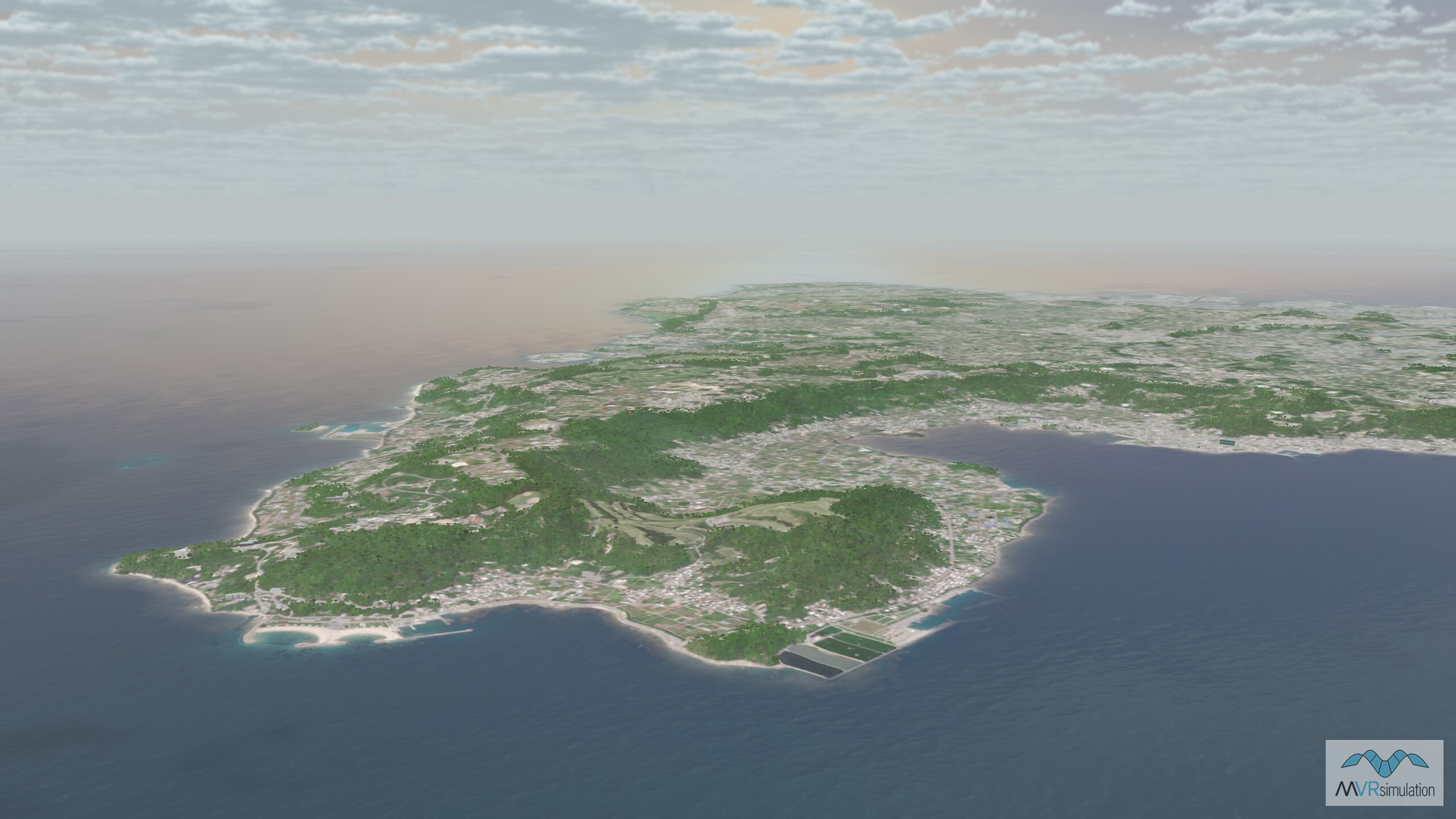
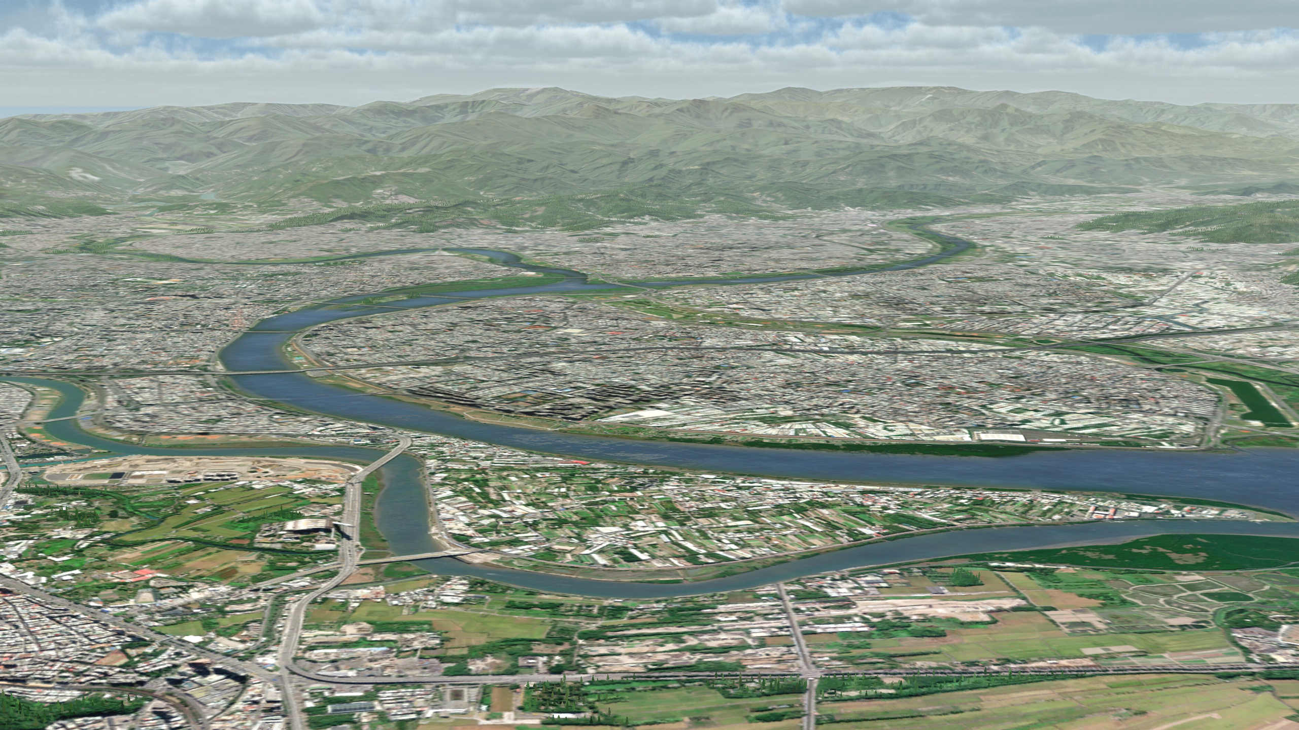
Browse MVRsimulation's round-earth VRSG terrain database to explore the high-fidelity, geospecific virtual terrain areas of interest (AOIs). Our terrain database offers immersive, real-world accuracy with detailed terrain models, supporting operational planning, advanced training, and terrain analysis. With Virtual Reality (VR) or Mixed Reality (MR/XR) integration, you can explore and interact with these environments in a fully immersive 3D space to enhance mission preparation and decision-making.
Start your search by selecting your criteria: region, imagery resolution, elevation data, cultural entities, AOI type, or keywords. Quickly find the terrain data most relevant to your mission. The more filters you apply, the more tailored your results will be. If needed, simply reset the search to clear all filters and begin a new query.
Not seeing the terrain you want?
MVRsimulation is regularly expanding our VRSG terrain database with new, high-resolution Areas of Interest to enhance your simulations. As part of our commitment to delivering the most relevant and up-to-date terrain, customers with active VRSG software maintenance can access these new AOIs at no additional cost. We regularly add terrain based on current world events and customer requests, ensuring that your needs are always at the forefront. If there's a specific 3D, high-resolution AOI you'd like to see, we want to hear from you! Reach out and submit a request by contacting our terrain team.
You can also join our Terrain News email subscription to receive updates about new AOIs as they are added to the database by submitting a request at Subscribe: Terrain News
