Miyako, Japan Terrain Database Information
- Imagery: 50cm
- Elevation: SRTM 30m
- Terrain Drive: Asia & Middle East
- Shimojishima Airport (RORS)
- Located in the central Iwate Prefecture created with artist modeled geospecific buildings and a replica of the Irabu Bridge
- Cultural Features: Apron or Ramp Areas, CityEngine (Geotypical) Buildings, Control Tower, Custom Models (Geospecific Buildings), Geospecific Bridge, Hangars, Light Poles, Port/Bathymetric Data, Roads, Runway, Runway Lights, Taxiways and Associated Markings, Trees, Urban Furniture (Benches, Trash Bins, etc), Utility Poles, Powerlines or Transmission Lines, Vehicles (Trucks, Cars, Military Equipment, etc.), Water Features (Lakes, Rivers, etc), Windsocks
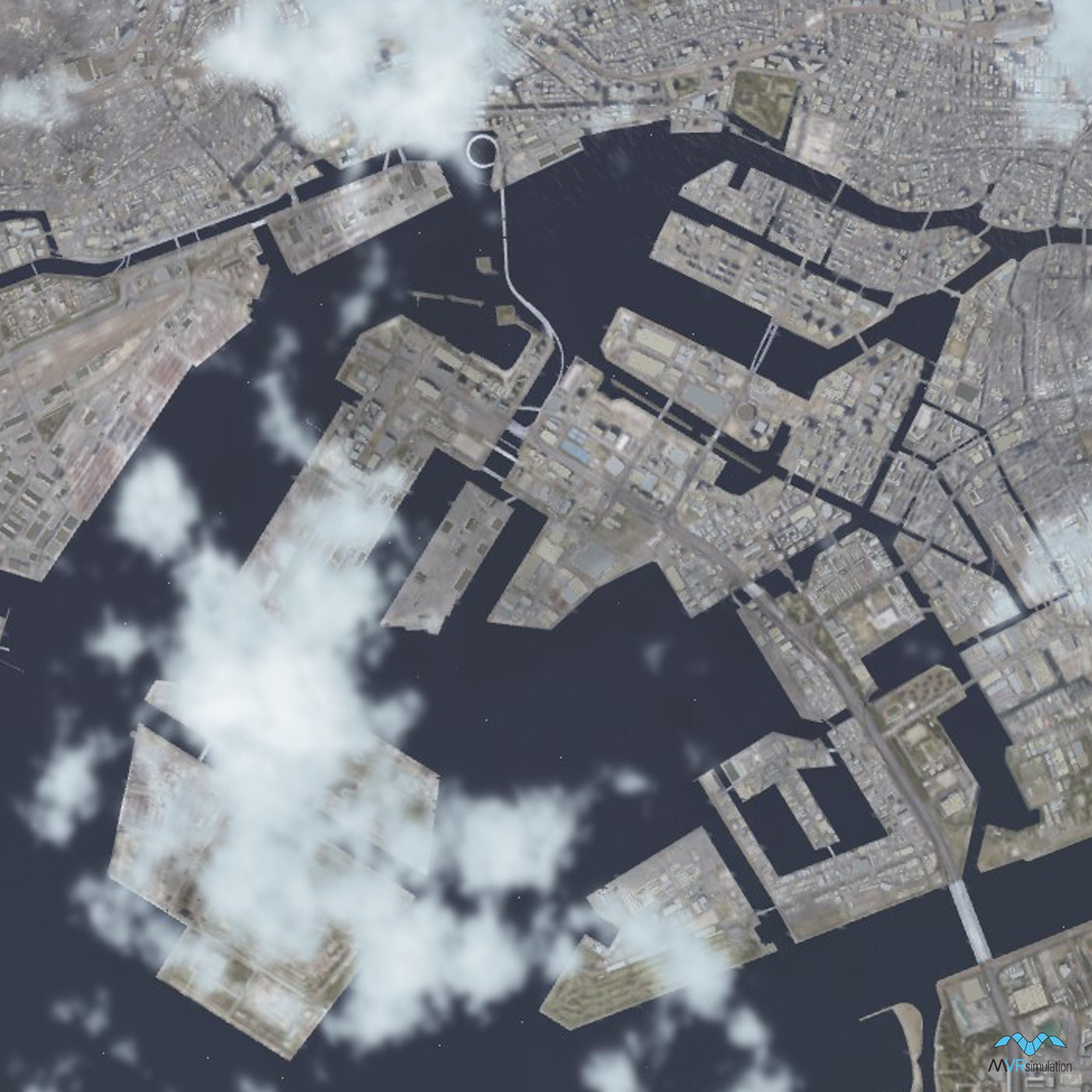
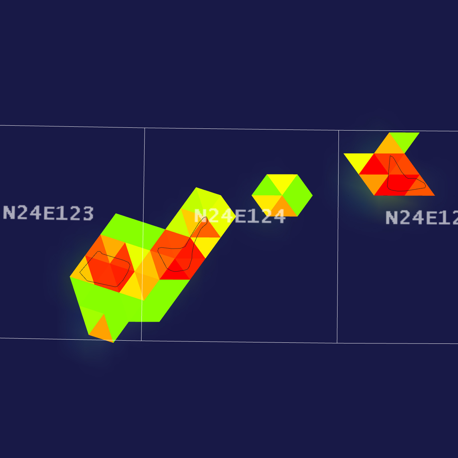
Tile Coverage Map
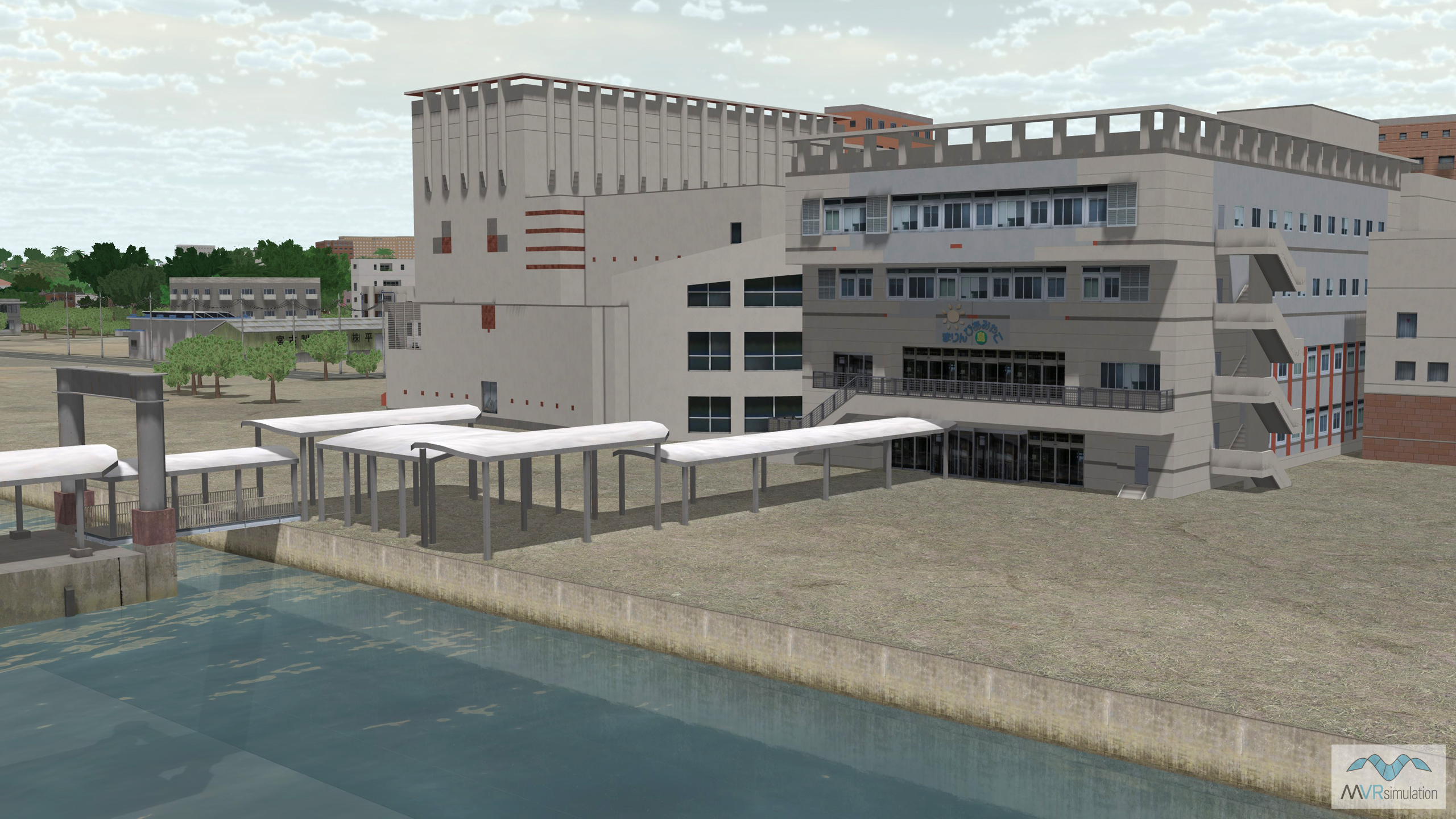
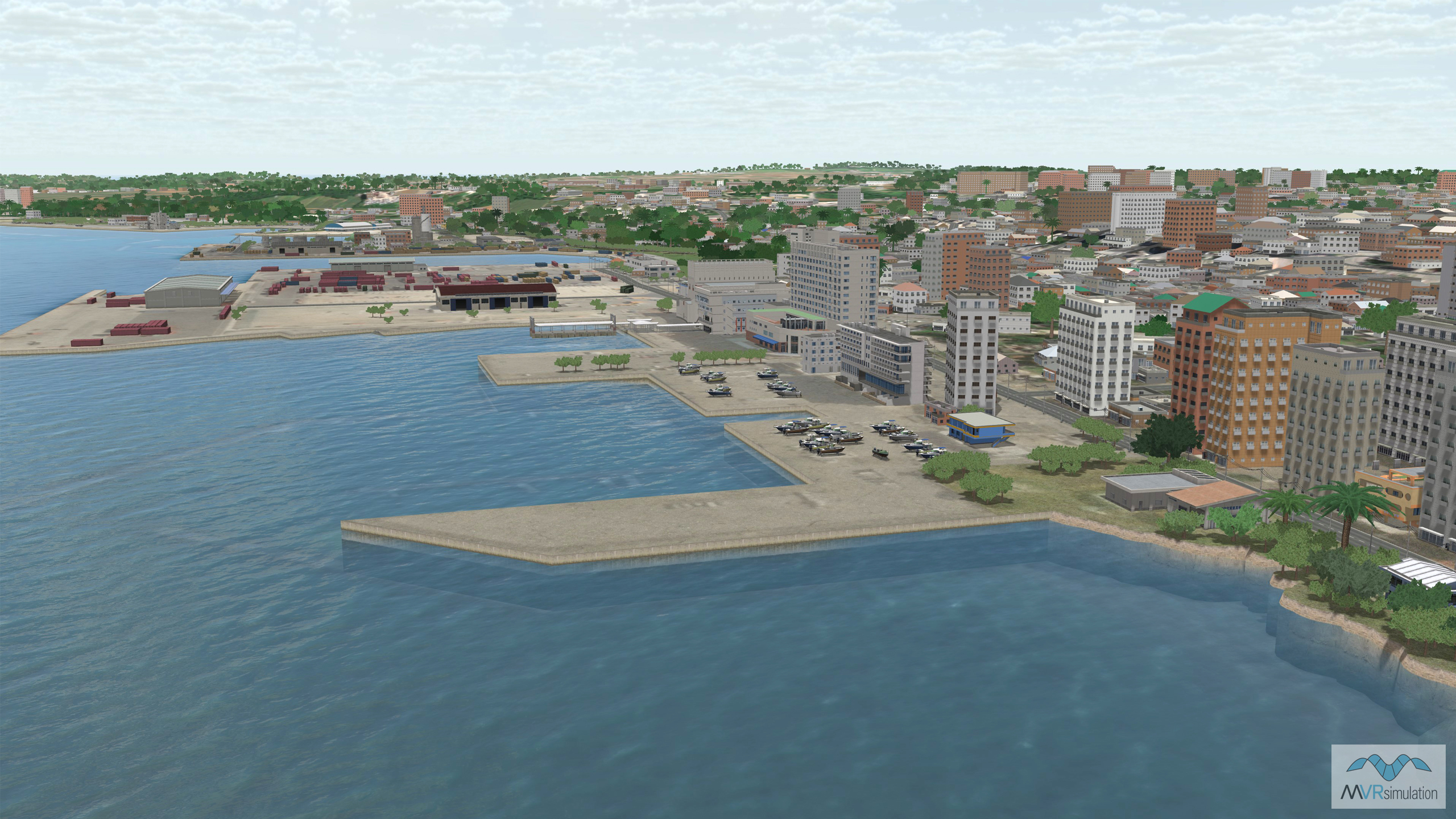
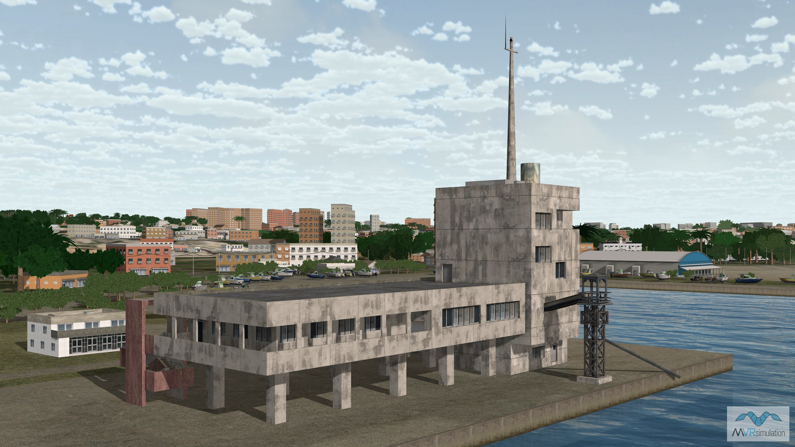
Custom 3D modeled port builing with walkway to the pier and surrounding bathymetry data.
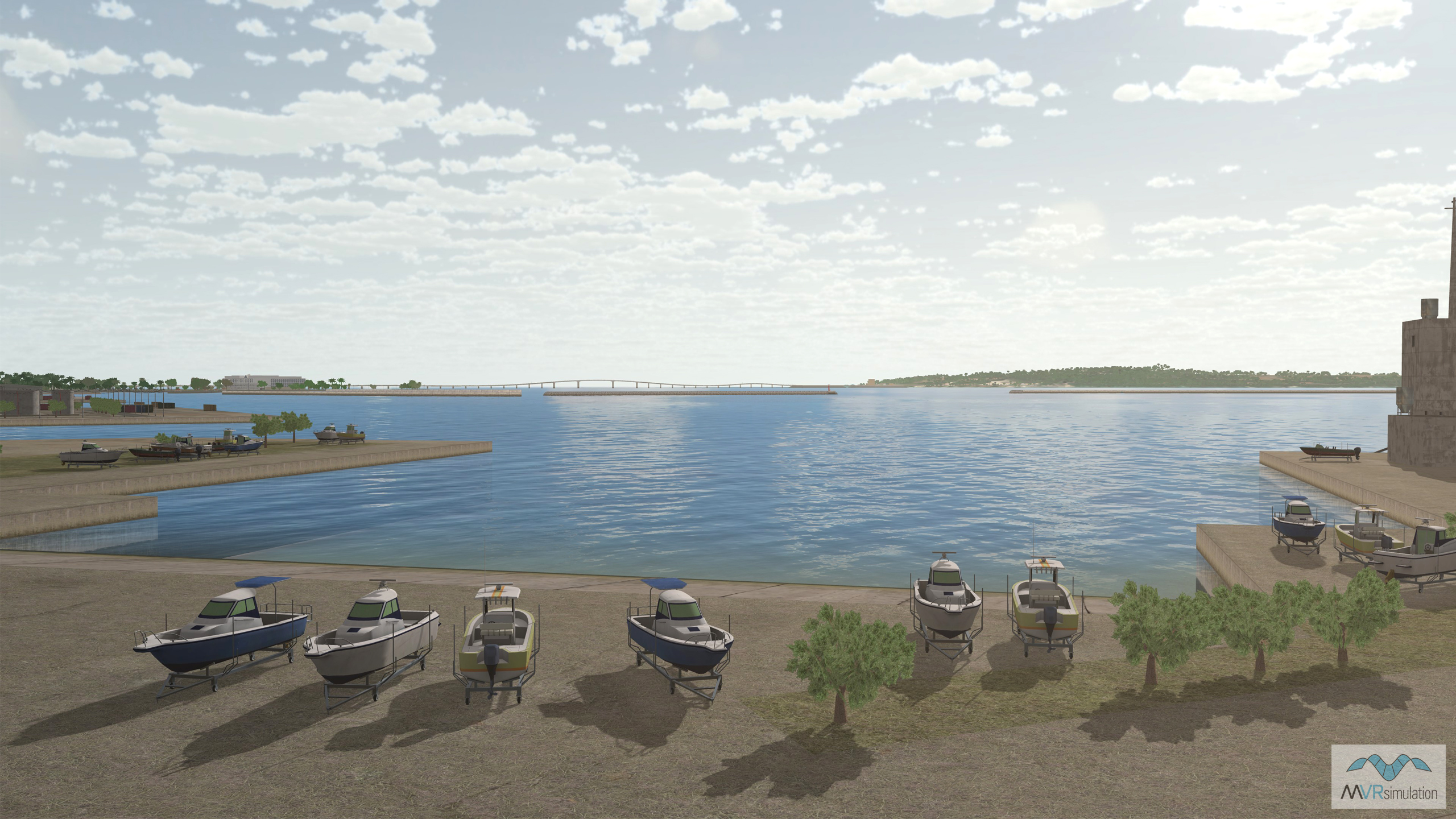
3D geotypical boats in storage along the port in Miyako, Japan.
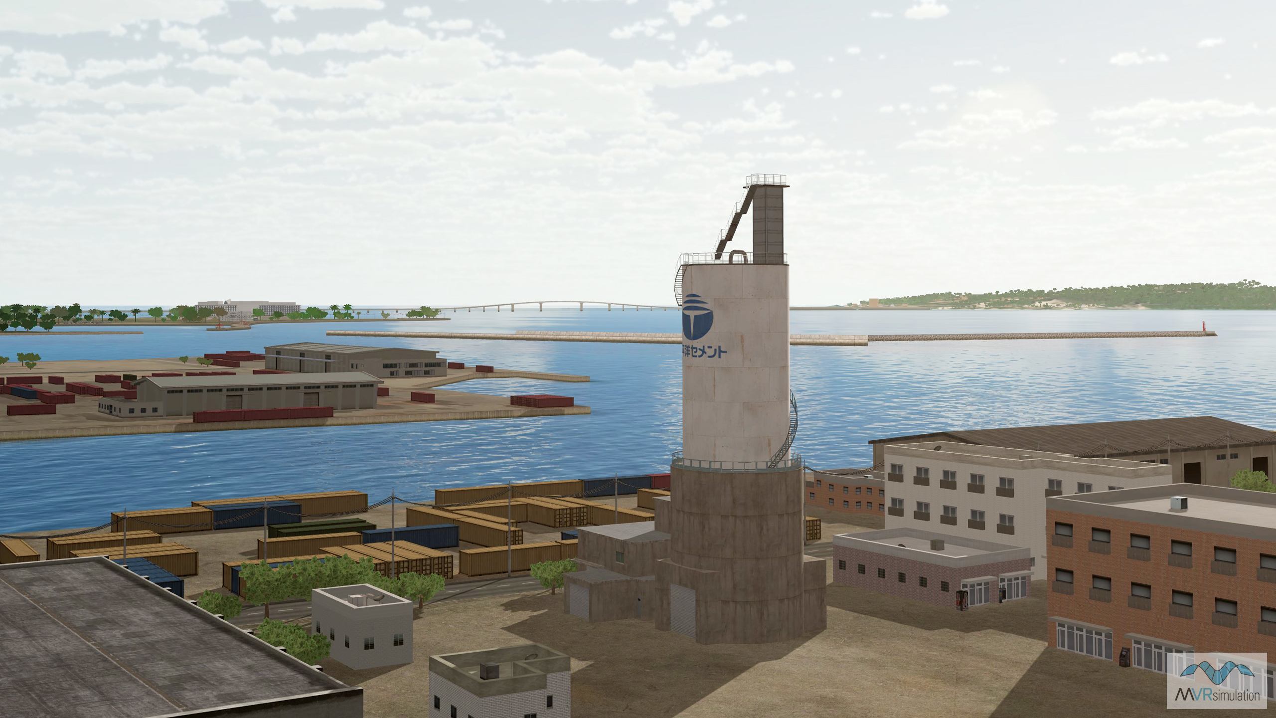
Geospecific storage tower with surrounding typical buildings and connex storage containers.
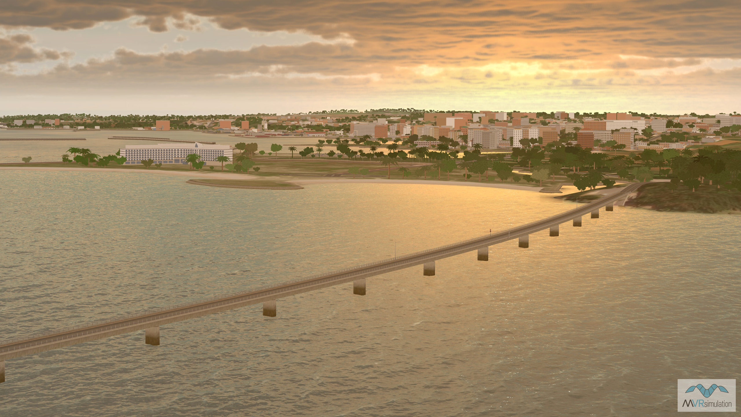
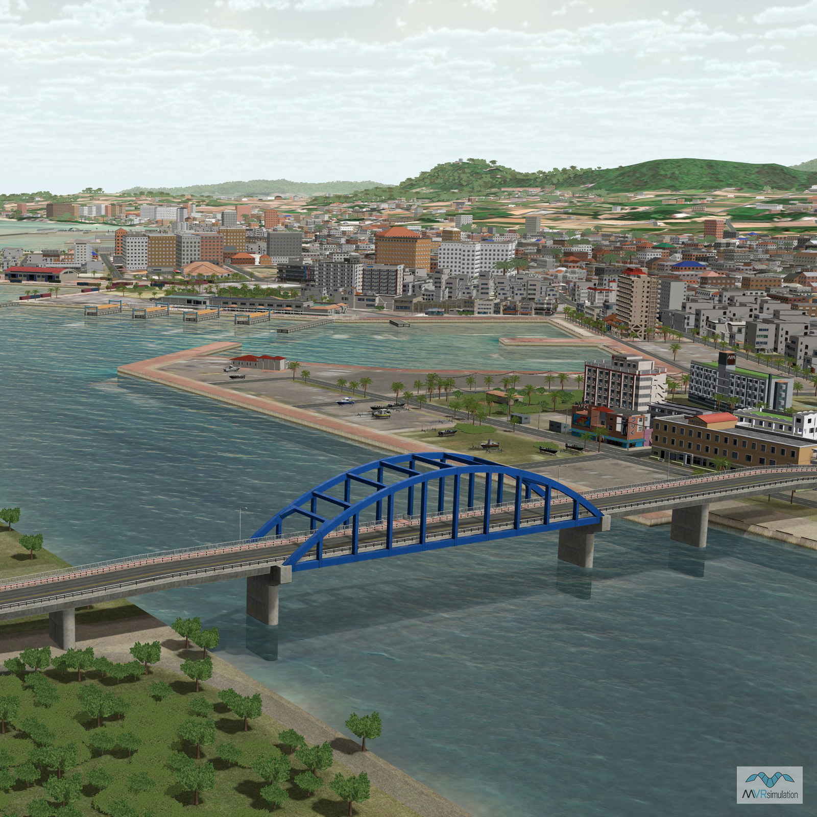
Custom 3D model of Irabuohashi Bridge connecting Miyako, Japan to Irabu Islands.
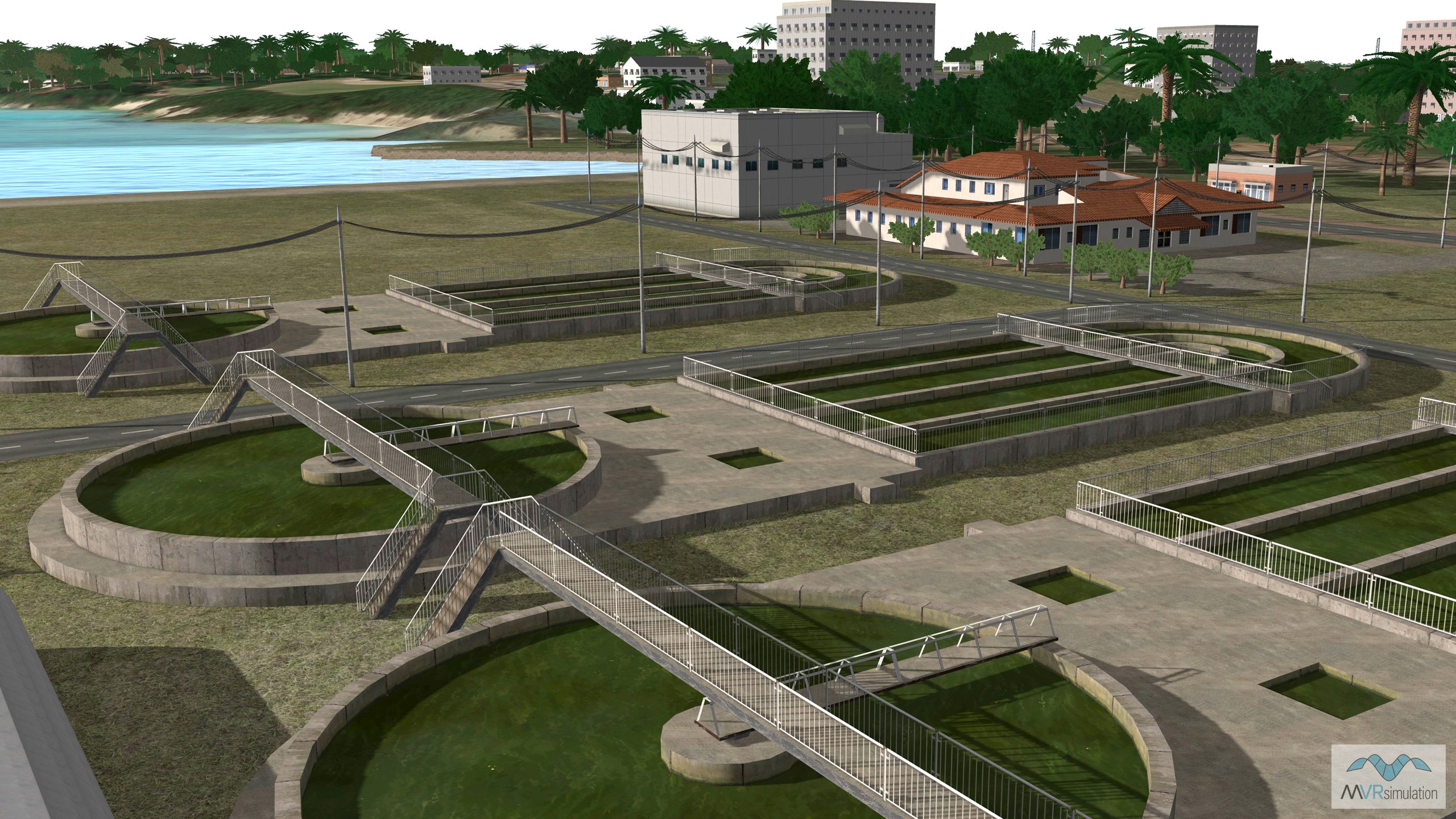
3D modeled treatment facility in Miyako, Japan, with power lines and poles.
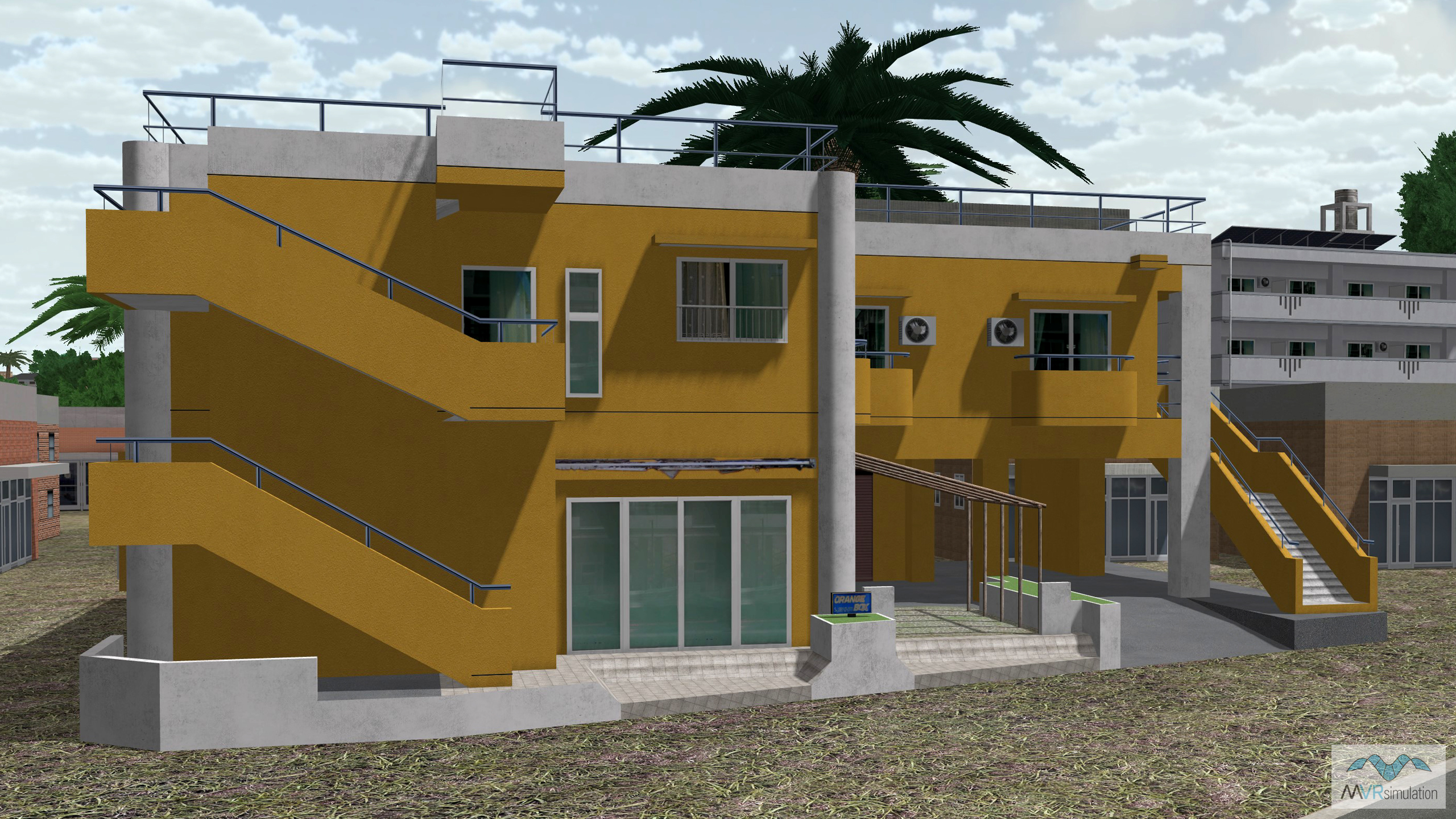
Custom modeled geospecific building models to support realistic geospacial training.
Shimojishima Airport (RORS) located in Miyako, Japan.