
United Arab Emirates

United Arab Emirates

Dubai and United Arab Emeriates Terrain Database Information

  • Imagery: 50cm
  • Elevation: DTED 1: ~90km
  • Terrain Drive: Asia & Middle East
  • Dubai, Abu Dhabi, Al Dannah, Al Ruways, Industrial City, Al Hamra, Al Dhannah
  • Islands: Dalma, Sir Baniyas, Higher Yasat, Lower Yasat, and Shweihat
  • Cultural Features: CityEngine Buildings, Fences or Walls, Roads, Runway, Utilities (Poles, Powerlines or Transmission Lines), Water Features (Lakes, Rivers, etc), Water Tanks/Towers
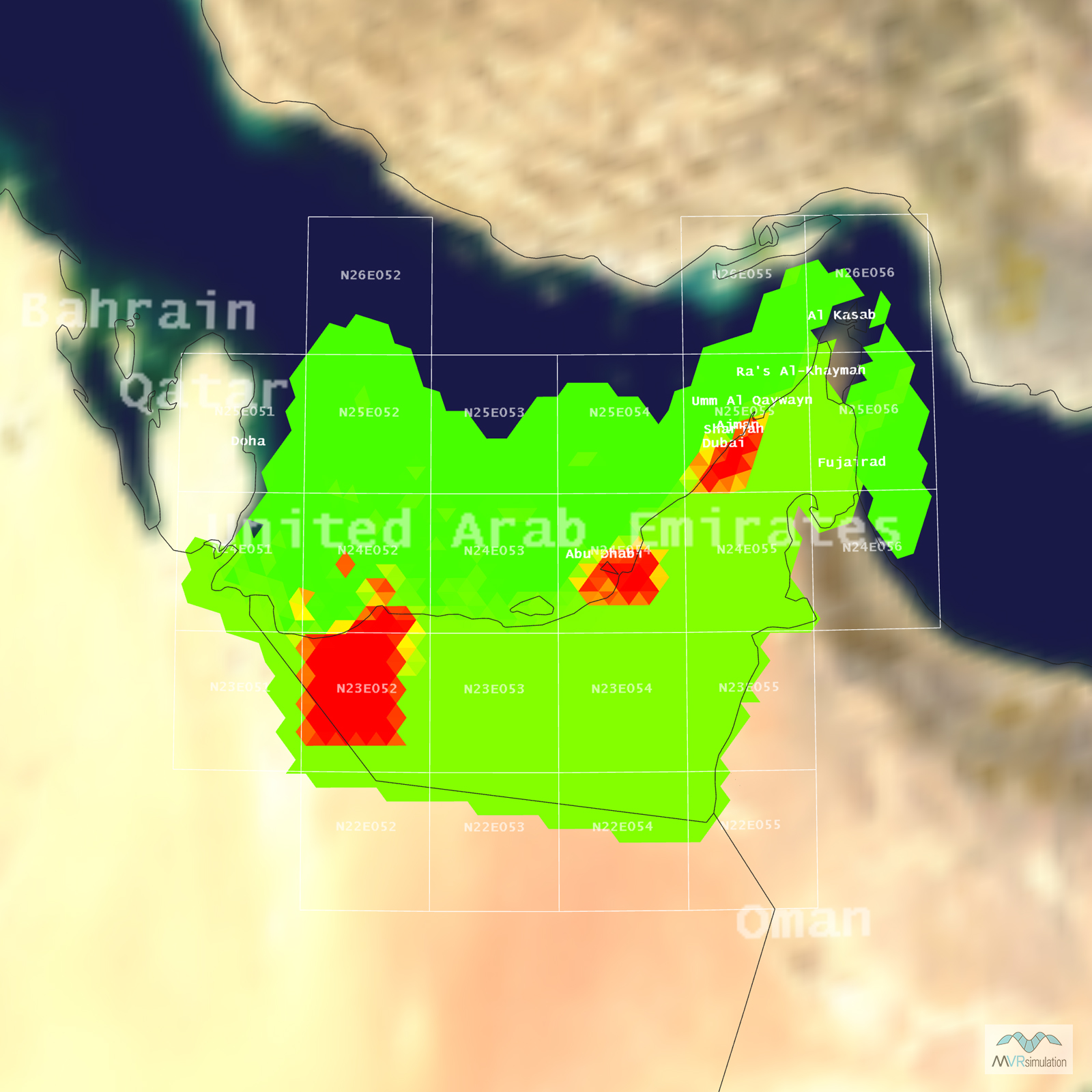
Tile Coverage Map

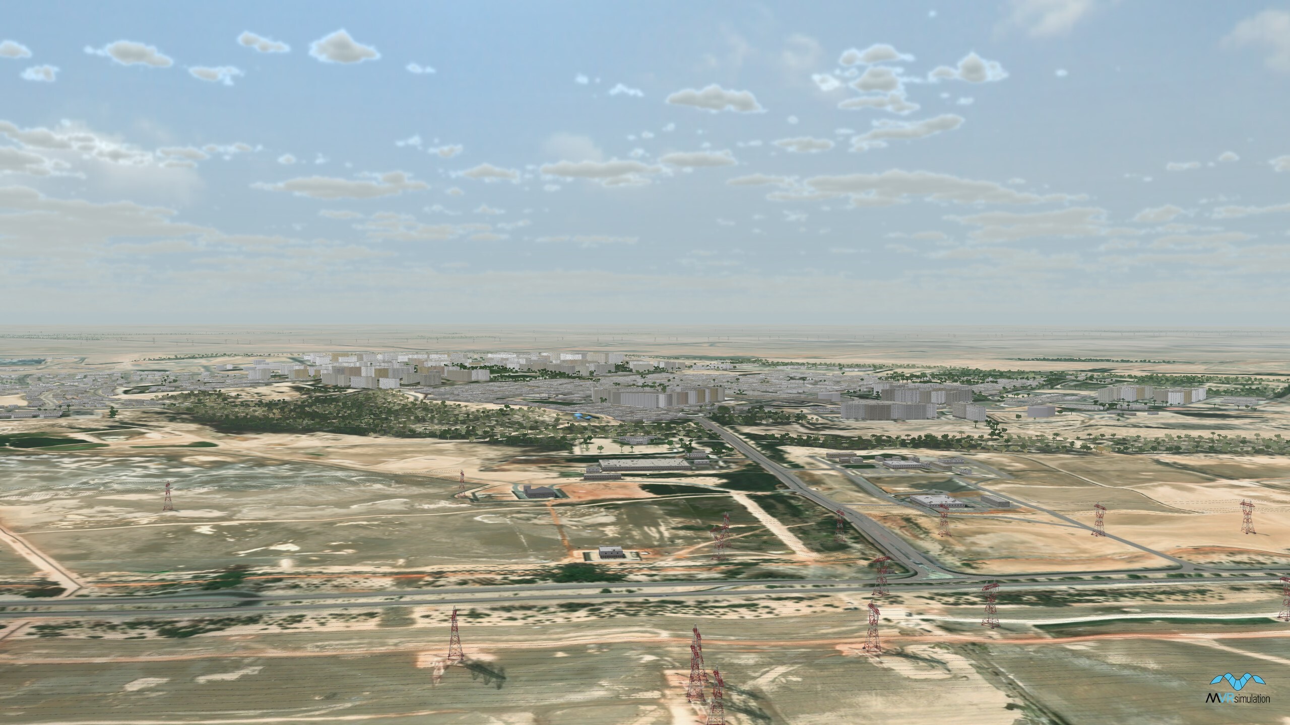
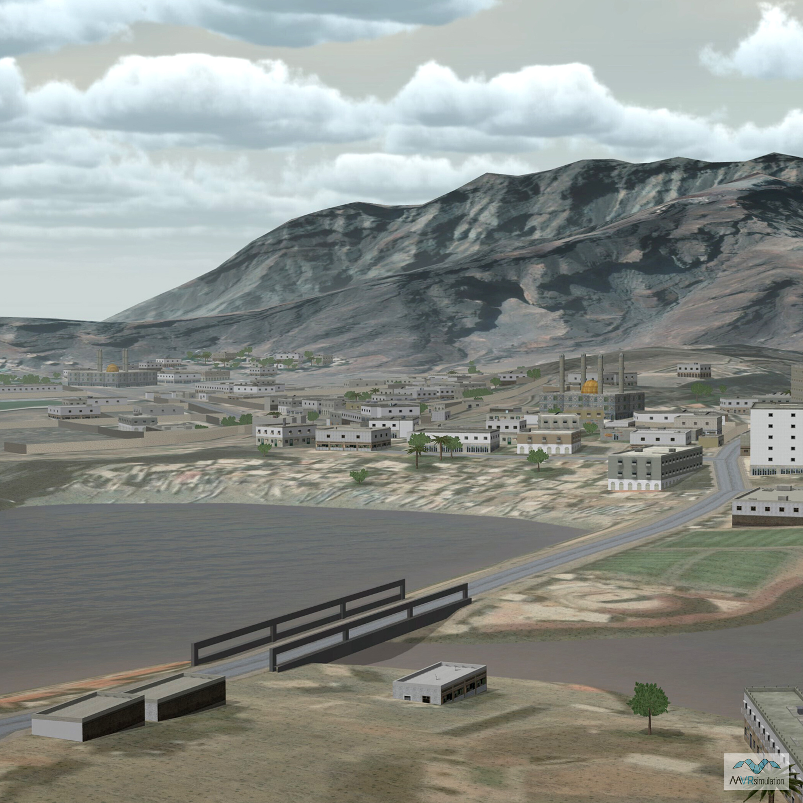
Al Dhannah City in the UAE with CityEngine geoptypical buildings.

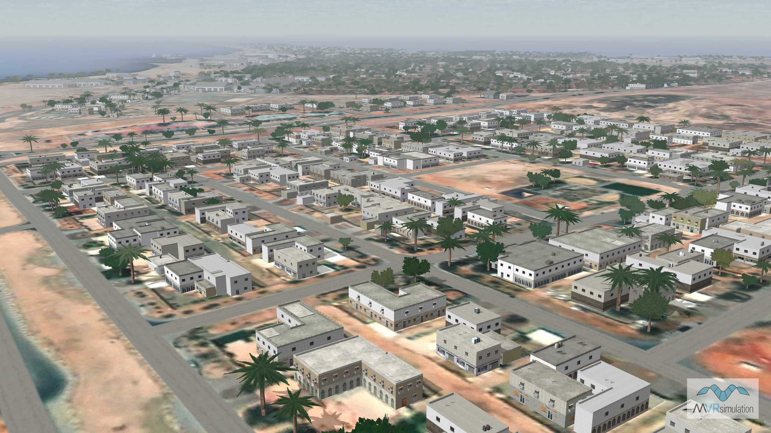
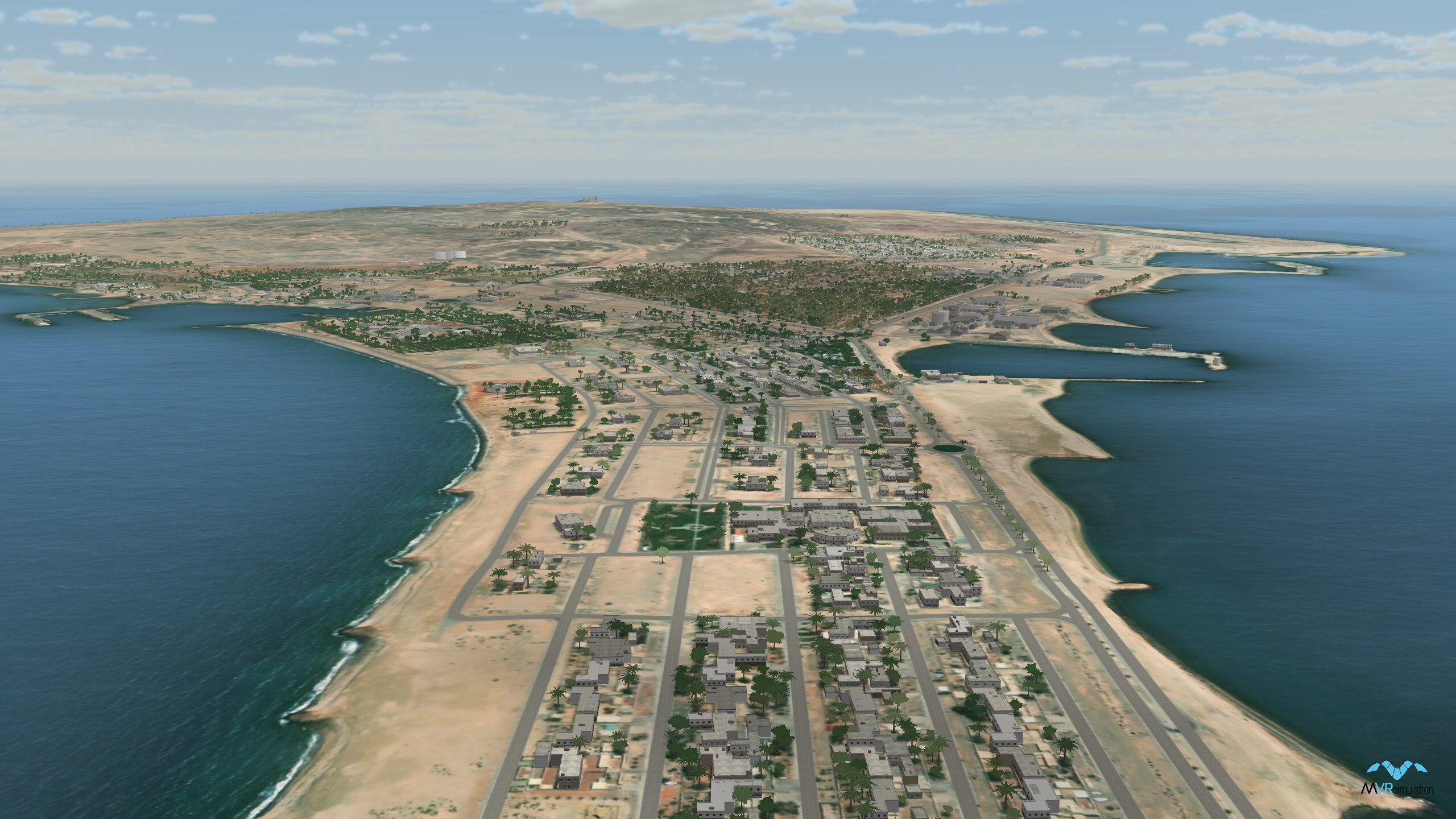
UAE terrain database includes Al Hamra, Abu Dhabi, with tree and building models.

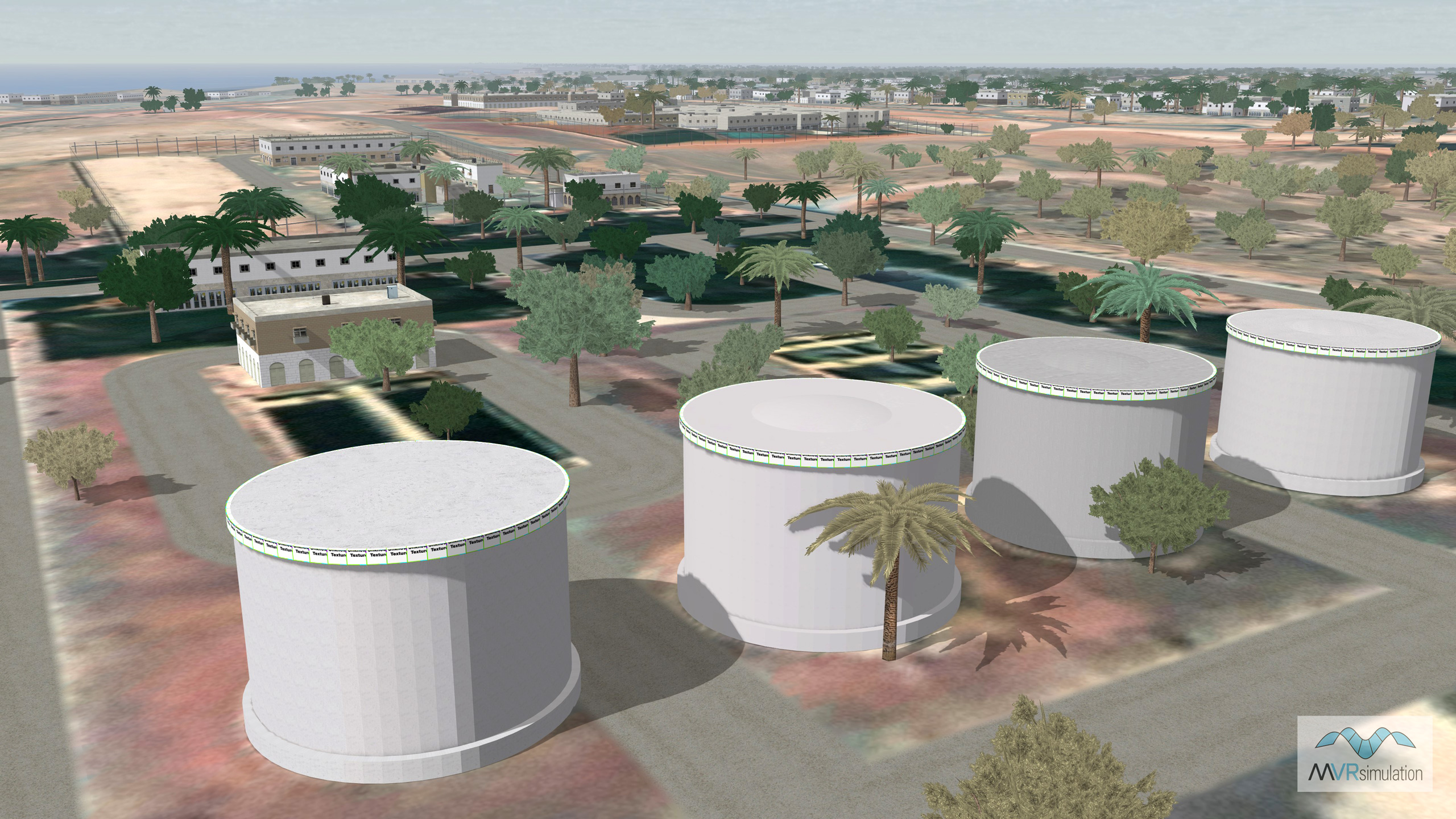
Storage tanks, regional trees, buildings and fences in Al Hamra, part of the Abu Dhabi, UAE, terrain database.

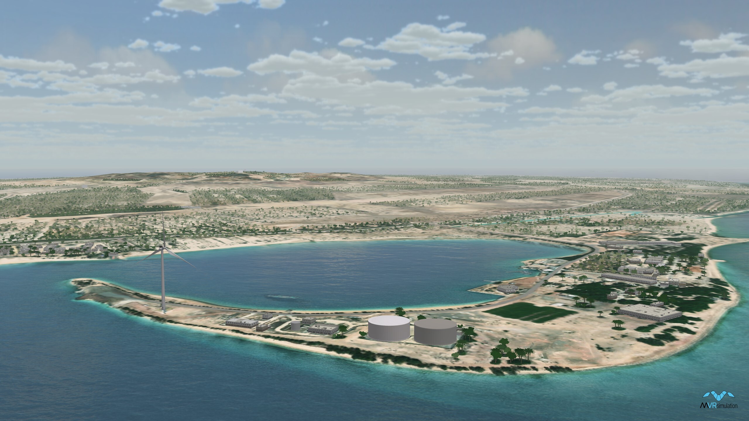
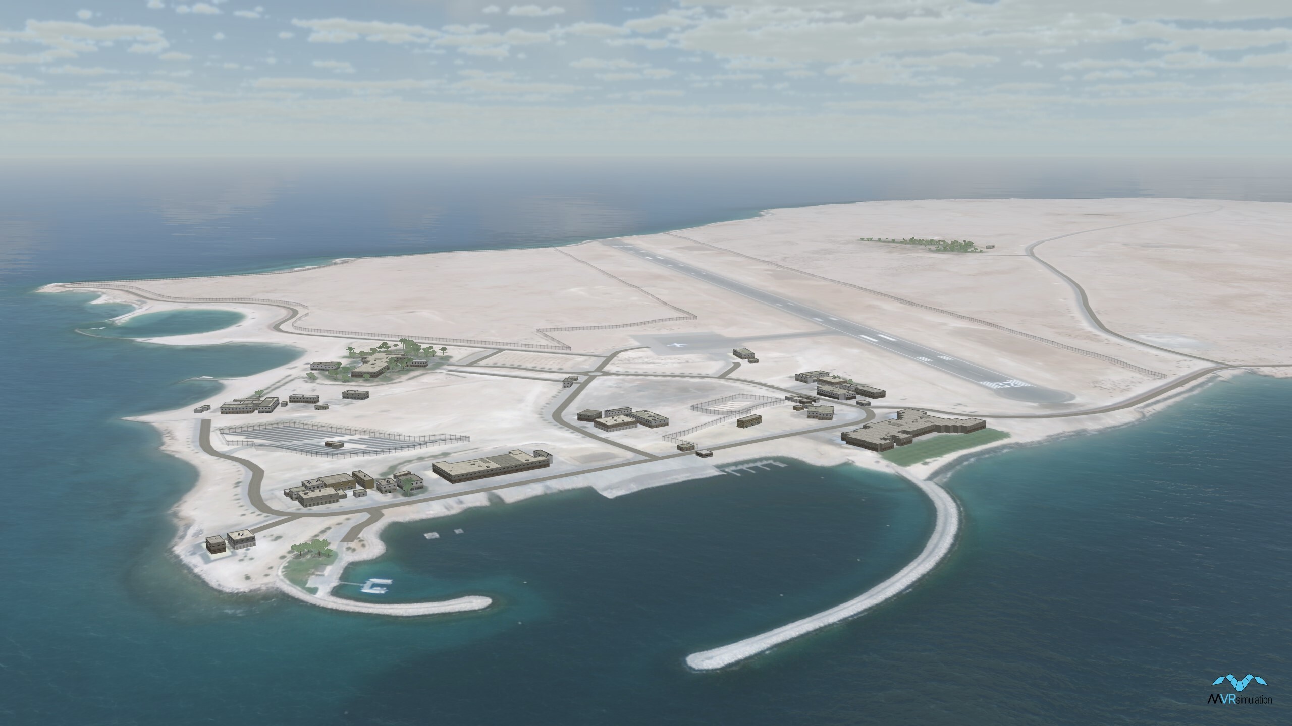
Sir Baniyas Island, part of the UAE terrain database with water features, storage tanks, and wind turbines.

Higher Yasat Island with buildings and trees.

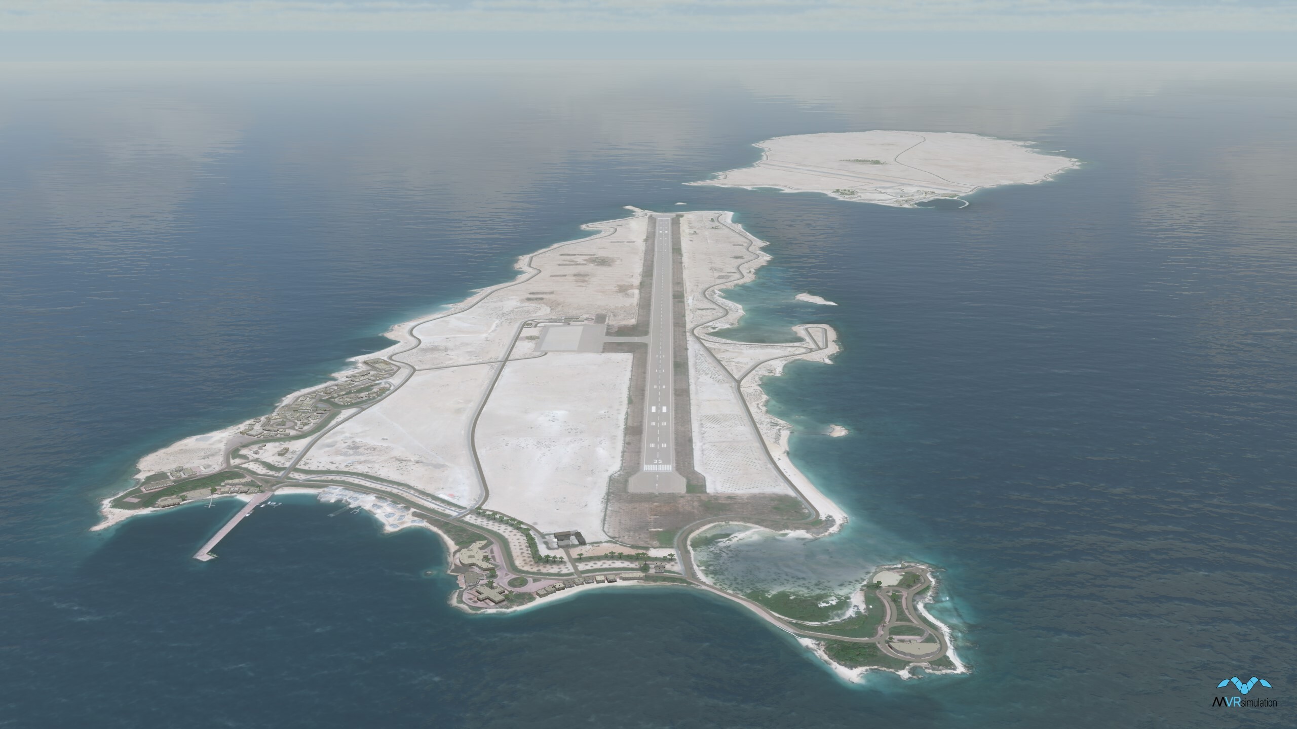
Lower Yasat Island in the UAE terrain database.

Roads, and geotypical CityEngine buildings on Dalma Island in the Persian Gulf

Related Terrain

EXTEND YOUR TERRAIN DATABASE

MVRsimulation Downloads Server

  • Explore and implement terrain updates
  • Download and use new 3D models
  • Stay up-to-date with VRSG features
  • Discover utilies for expanding VRSG
    Filler for Spacing

Request Account

MVRsimulation Regional Terrain Drives

  • External hard drive - regional terrian
  • Network attached storage device - whole-world terrain
  • Ready for plug and play
  • Available to customers on active maintenance
    Filler for Spacing

Request Drive

MVRsimulation Produced Custom Terrain

  • Custom terrain created by MVRsimulation's terrain team
  • Specify your desired area of interest
  • Indentify needed terrain features.
  • Use your own or commercially available imagery
    Filler for Spacing

Request Quote

Create Terrain with Terrain Tools

  • Build real-time 3D terrain for VRSG using GIS technology with ArcGIS Pro
  • Designed to be user-friendly for users with basic ArcGIS knowledge
  • Use imagery, elevation, and optional vector data to create terrain
  • Compile buildings from 2D polygon footprint features using a CityEngine rule package
    Filler for Spacing

Terrain Tools