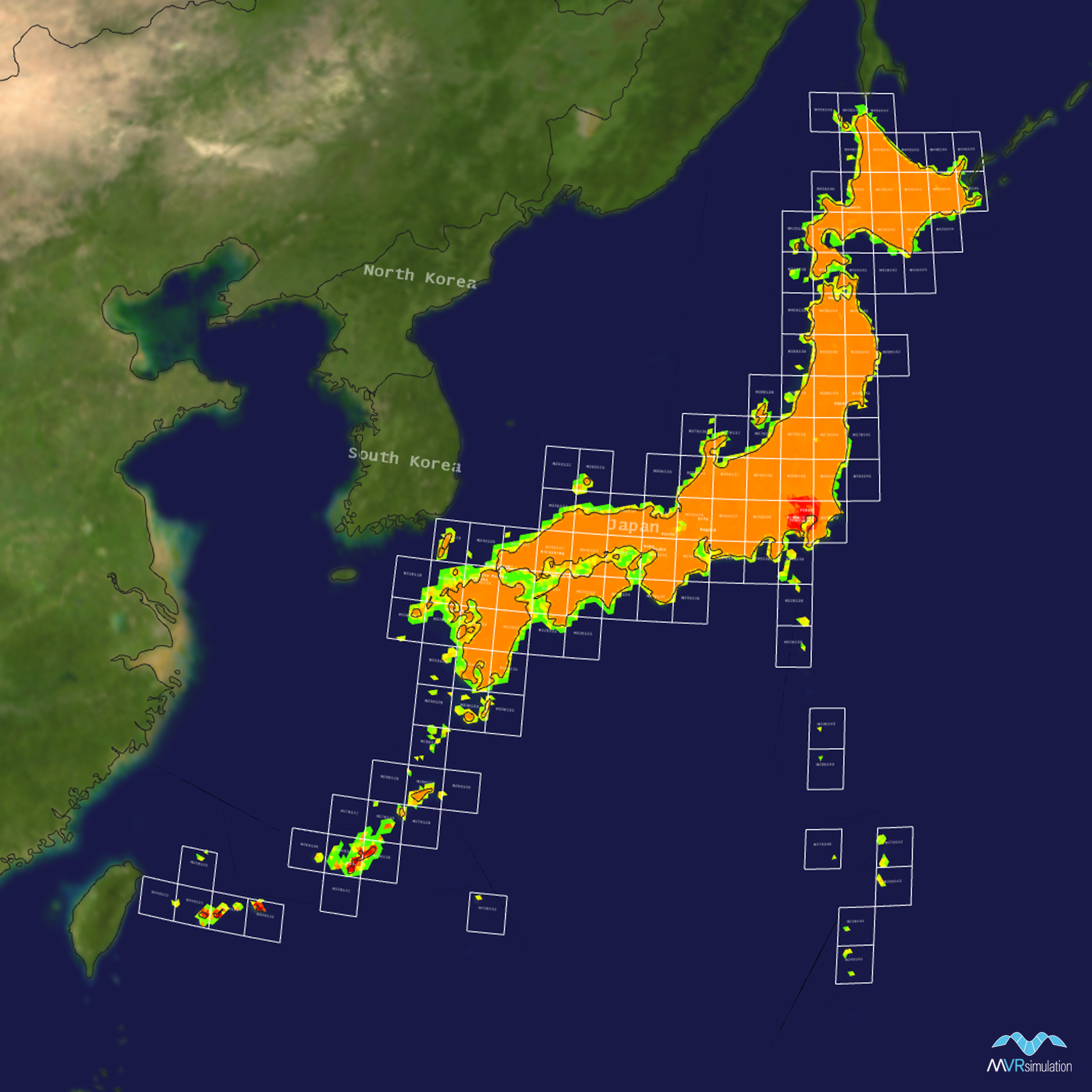
Japan Terrain Database Information
- Imagery: 1m
- Elevation: SRTM 30
- Terrain Drive: Asia & Middle East
- Source for Elevation Data: Geospatial Information Authority of Japan, referred to as "GSI tiles." Details on tile sources can be found on the GSI tile list page.
- Cultural Features: Trees
Tile Coverage Map
3D Modeled & High-resolution Areas of Interest
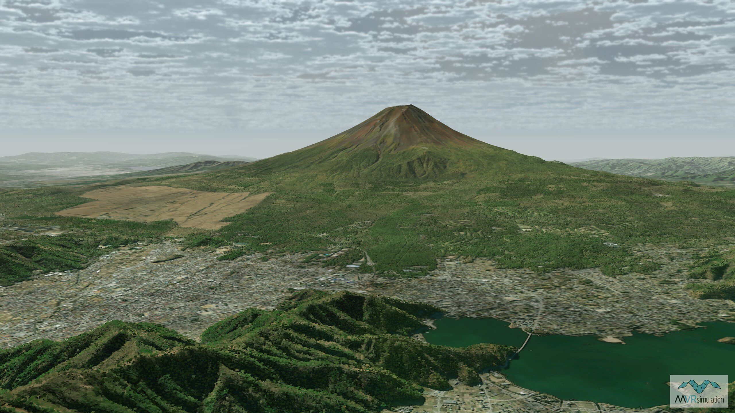
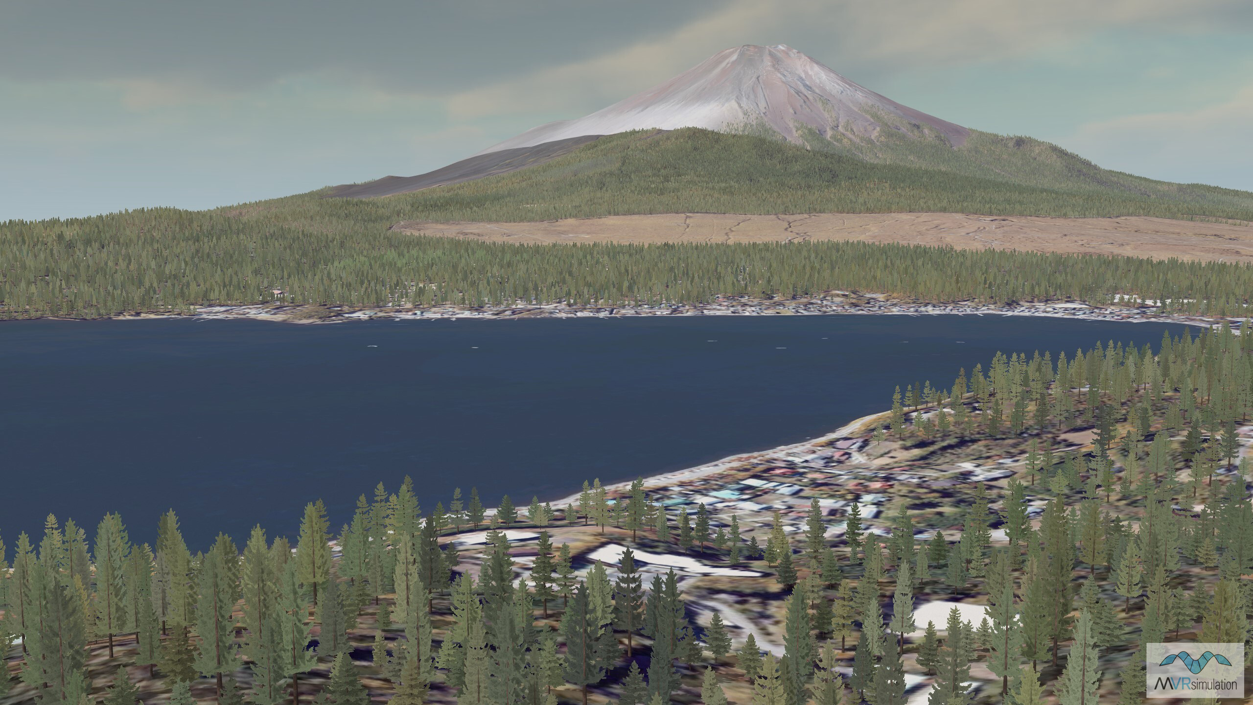
Mount Fuji is part of the Japan terrain database.
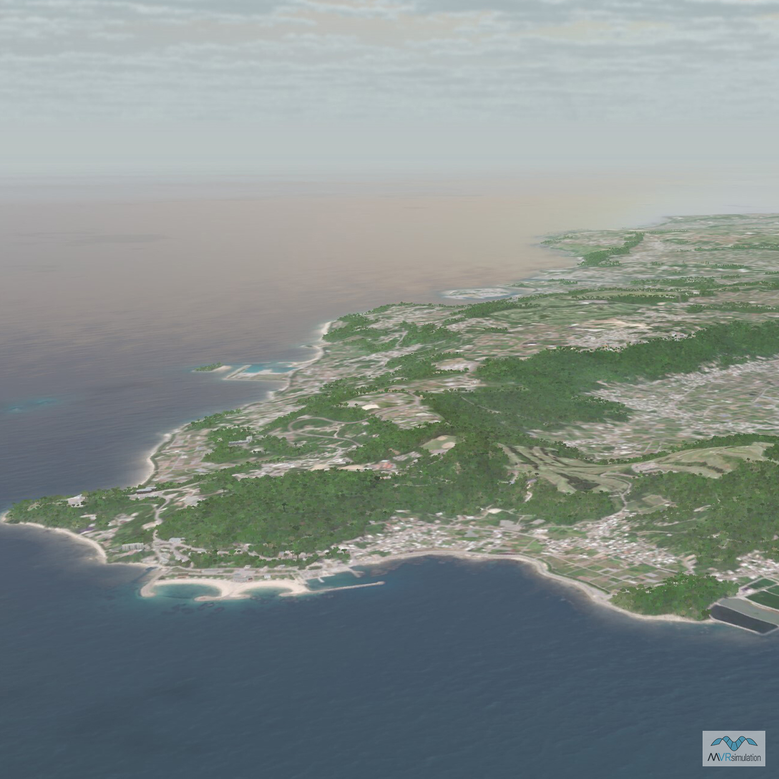
Near the town of Nemuro, on the easternmost tip of Hokkaido. Part of VRSG's Japan terrain.
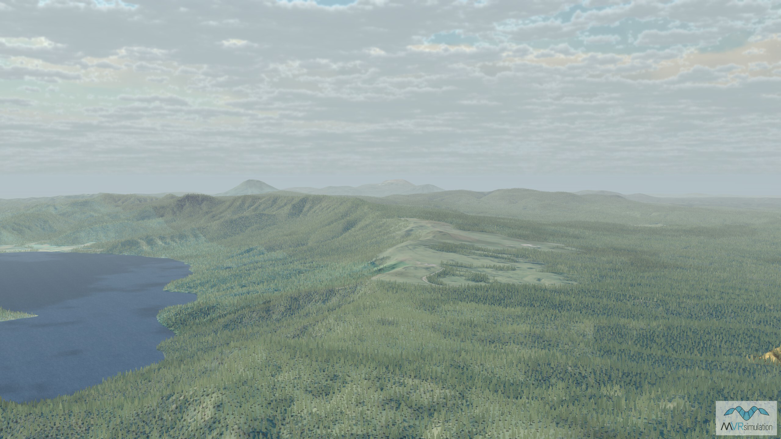
Near Kushiro, a city in eastern Hokkaido. The area is known for the Kushiro Shitsugen National Park, which features expansive wetlands and diverse wildlife.
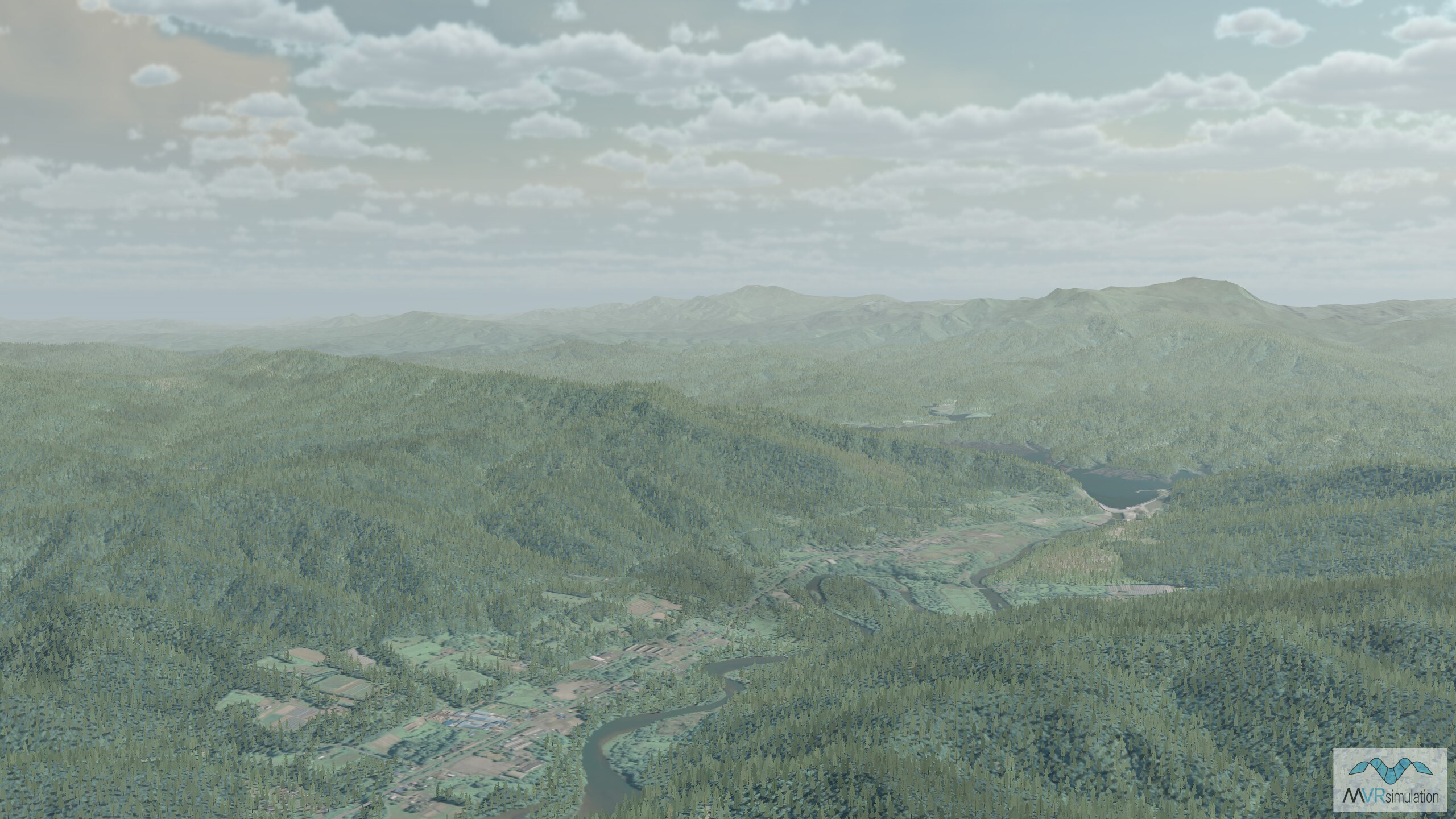
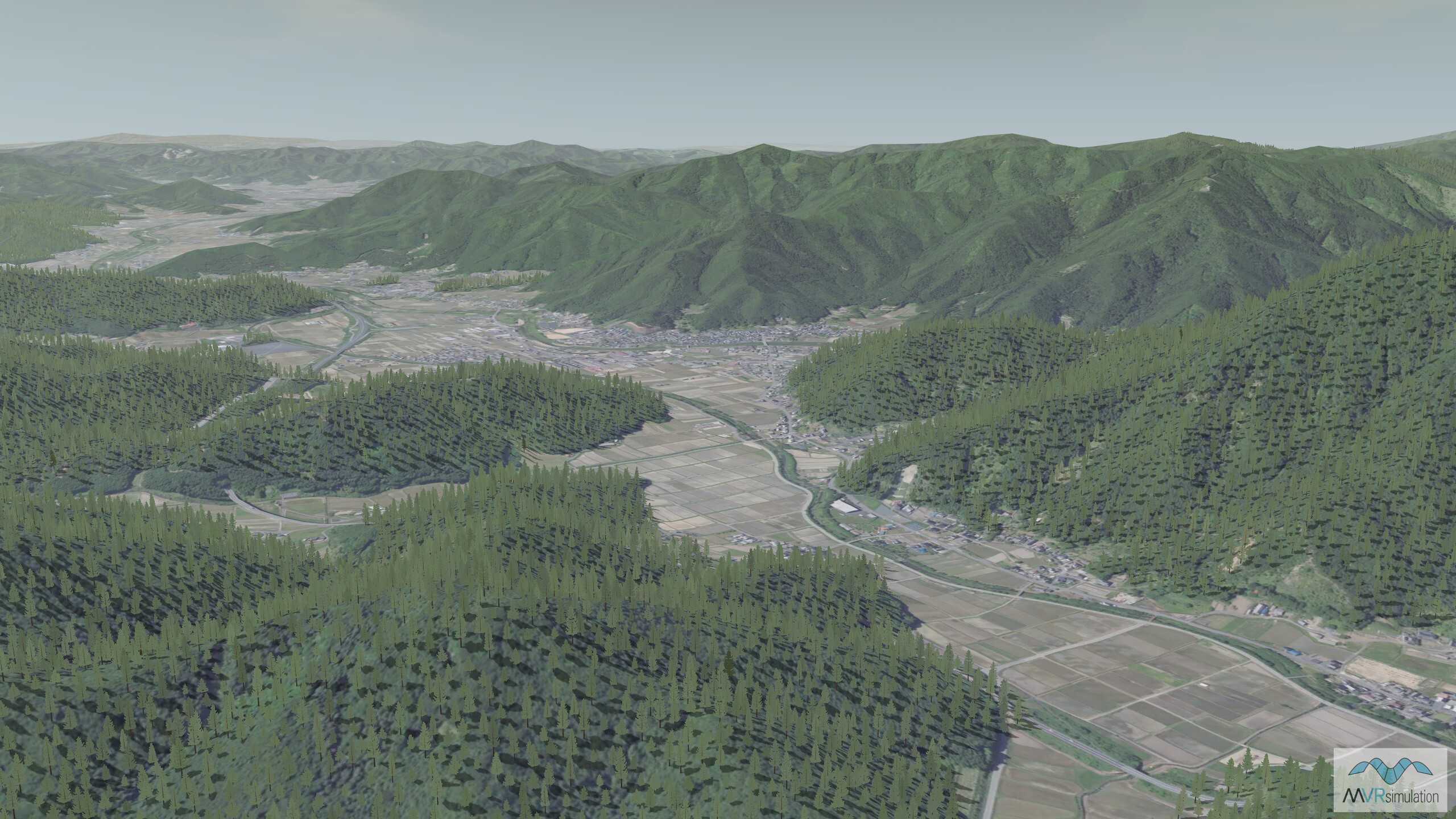
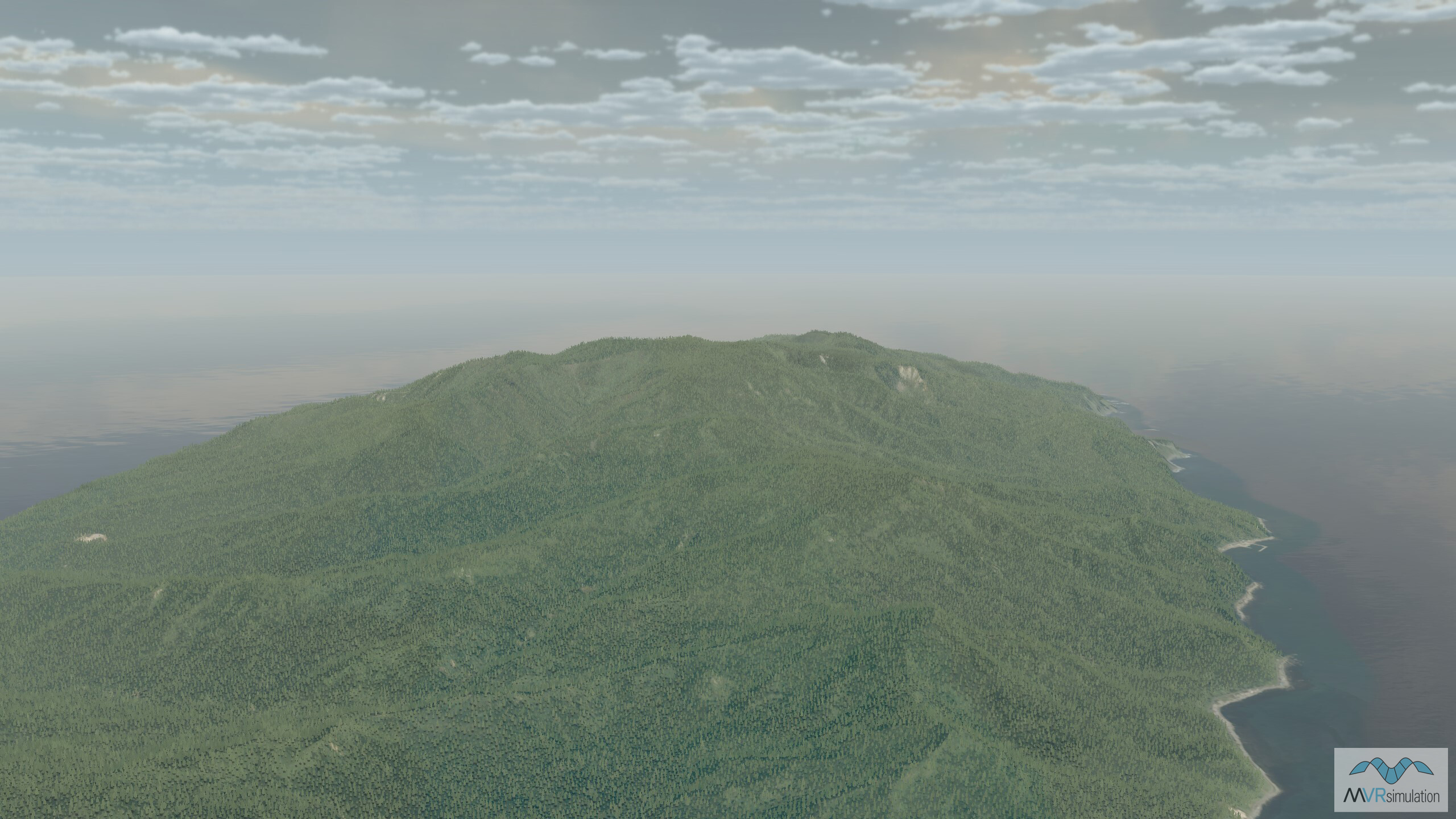
Hokkaido, the northernmost of Japan’s main islands.
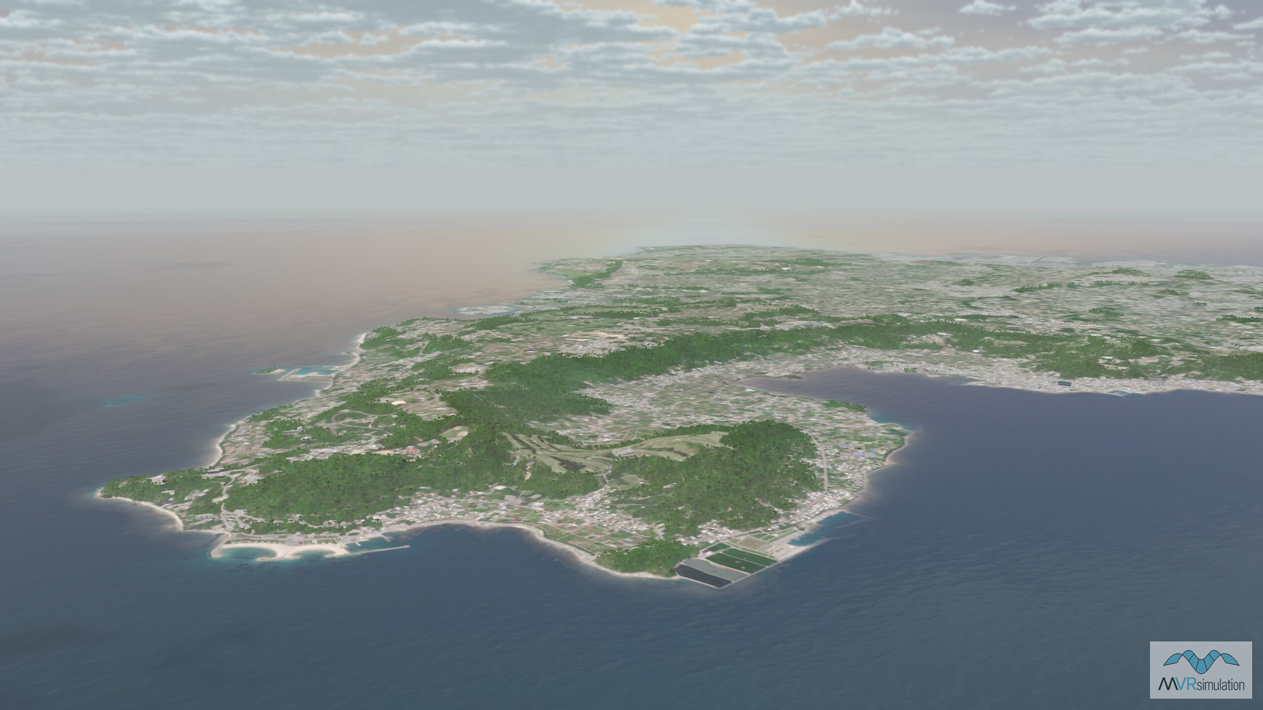
Near the city of Kyoto in the Kansai region of Japan.
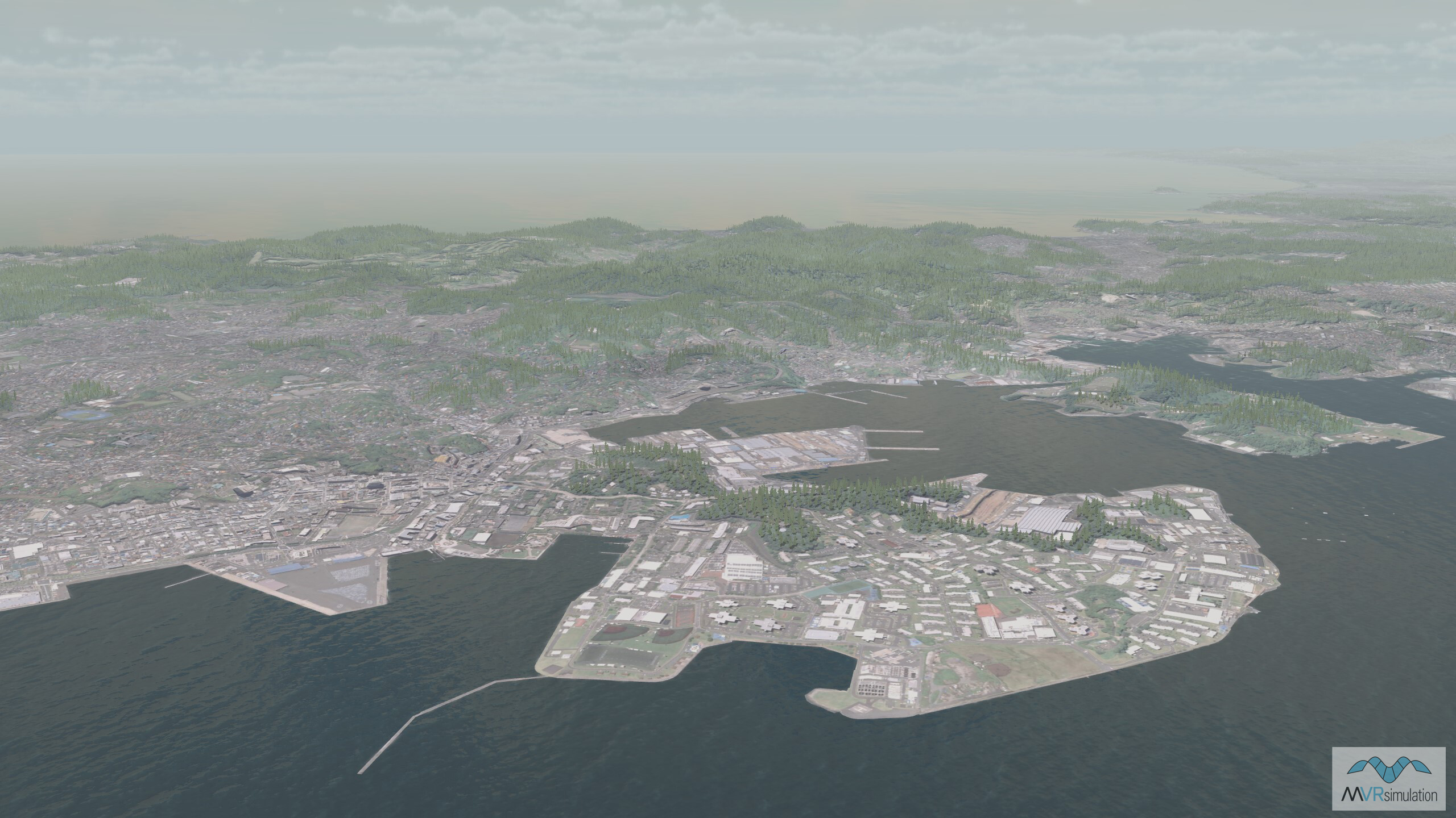
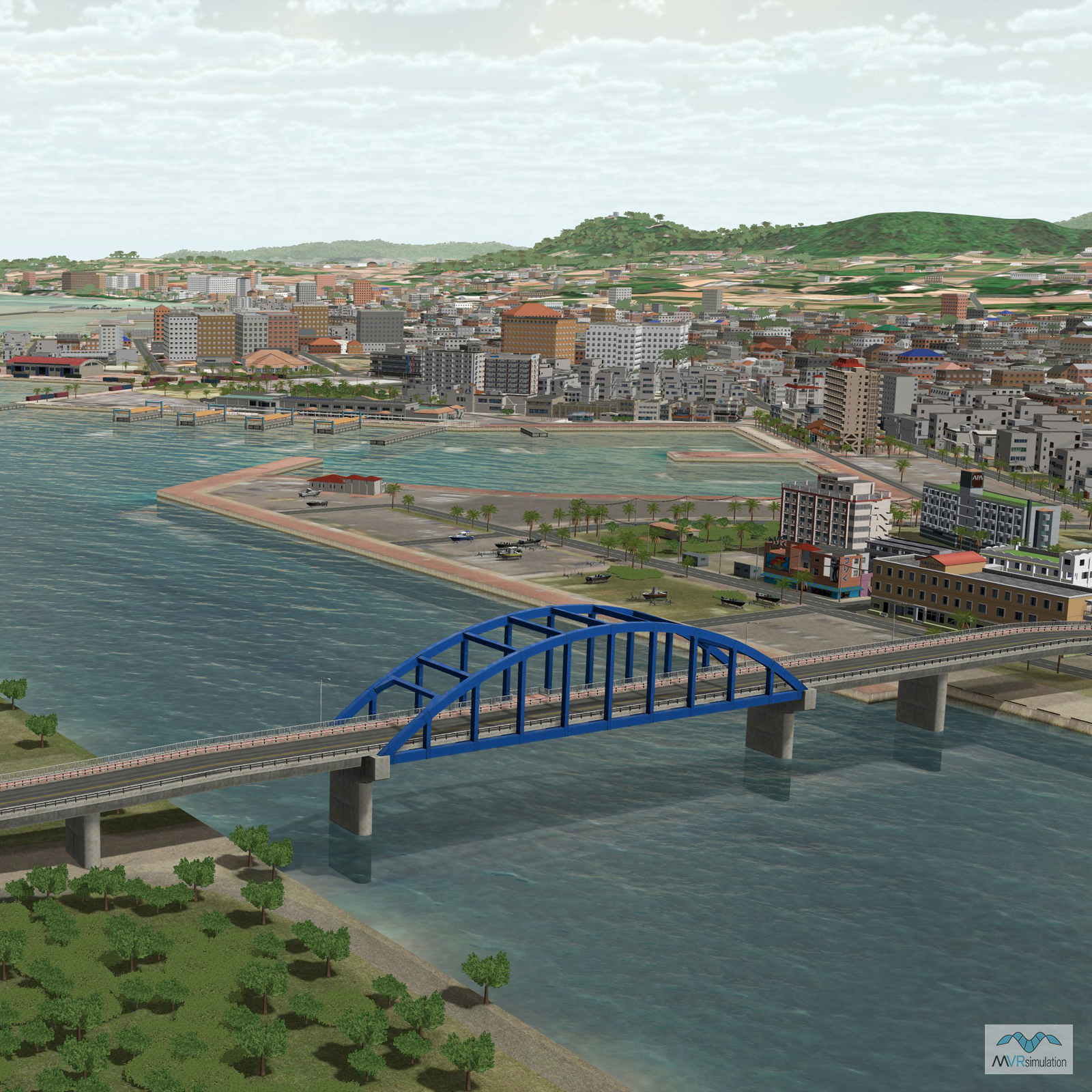
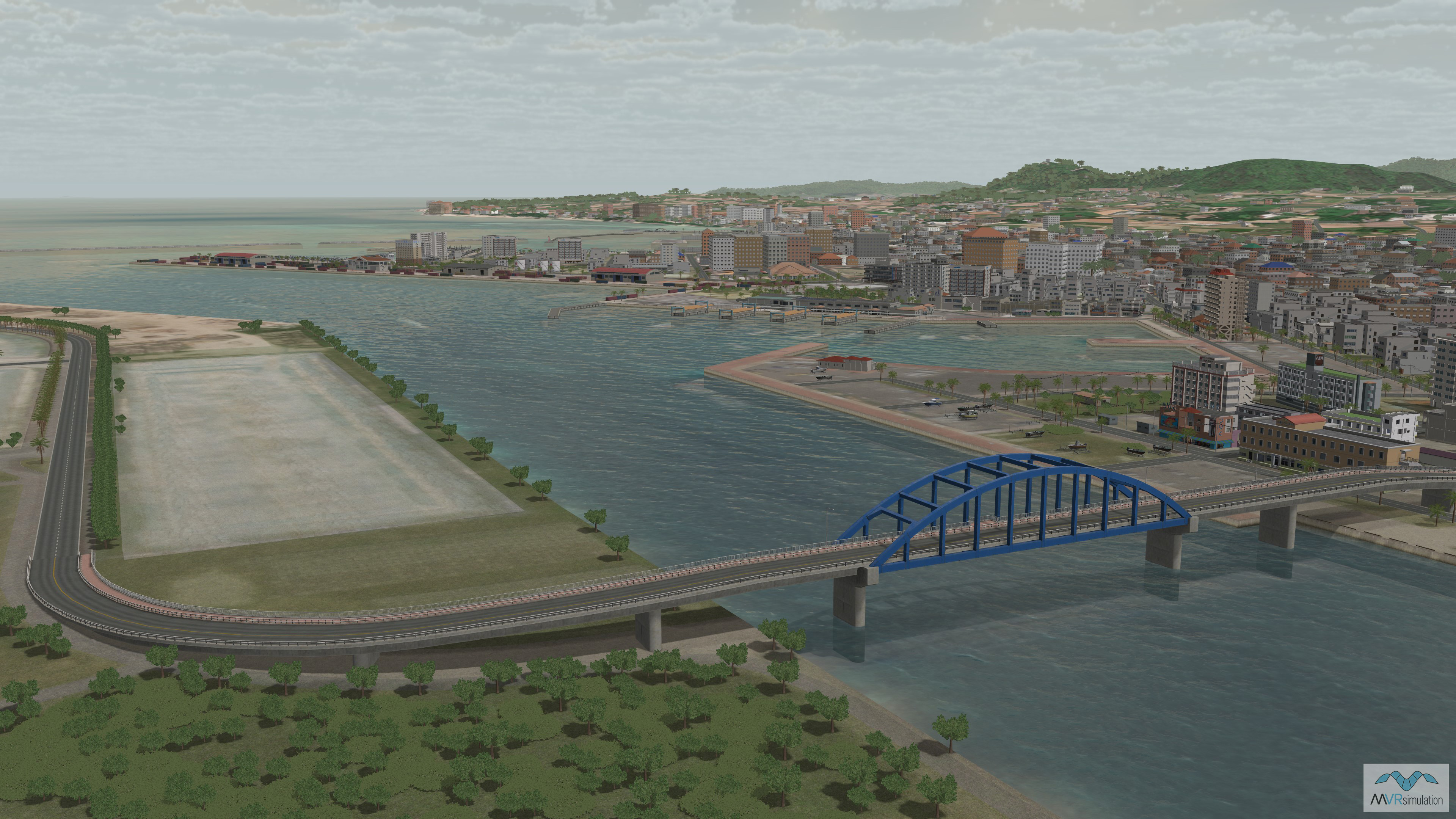
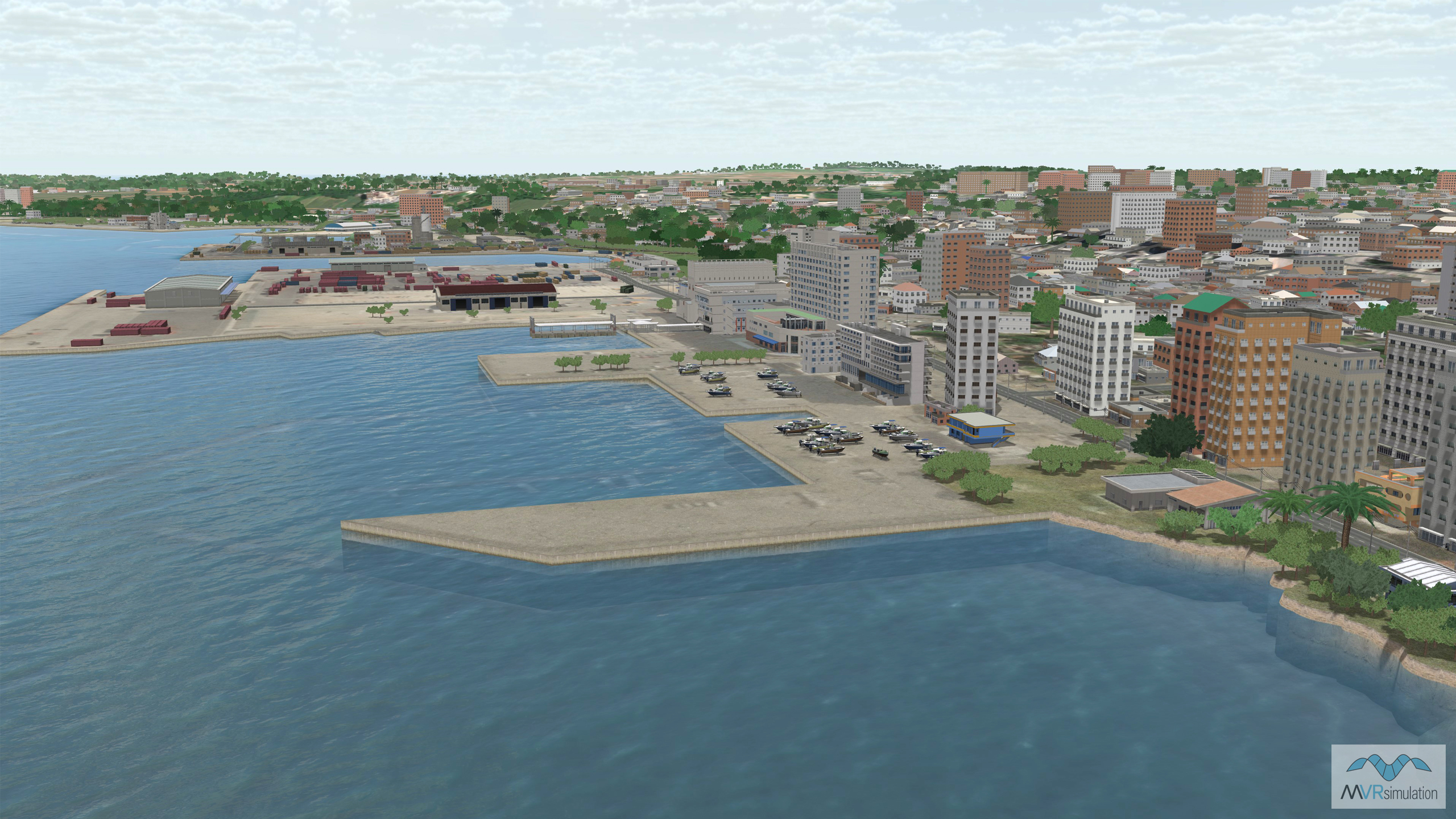
Yokosuka, a city located in the Greater Tokyo Area.
EXTEND YOUR TERRAIN DATABASE
MVRsimulation Downloads Server
- Explore and implement terrain updates
- Download and use new 3D models
- Stay up-to-date with VRSG features
- Discover utilies for expanding VRSG
MVRsimulation Regional Terrain Drives
- External hard drive - regional terrian
- Network attached storage device - whole-world terrain
- Ready for plug and play
- Available to customers on active maintenance
MVRsimulation Produced Custom Terrain
- Custom terrain created by MVRsimulation's terrain team
- Specify your desired area of interest
- Indentify needed terrain features.
- Use your own or commercially available imagery
Create Terrain with Terrain Tools
- Build real-time 3D terrain for VRSG using GIS technology with ArcGIS Pro
- Designed to be user-friendly for users with basic ArcGIS knowledge
- Use imagery, elevation, and optional vector data to create terrain
- Compile buildings from 2D polygon footprint features using a CityEngine rule package