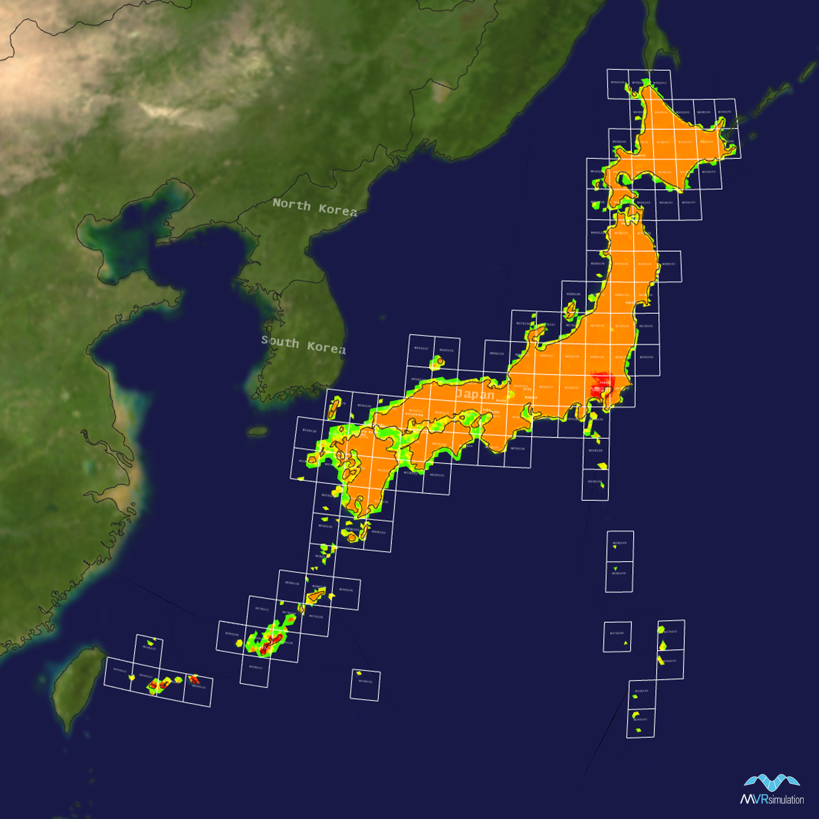
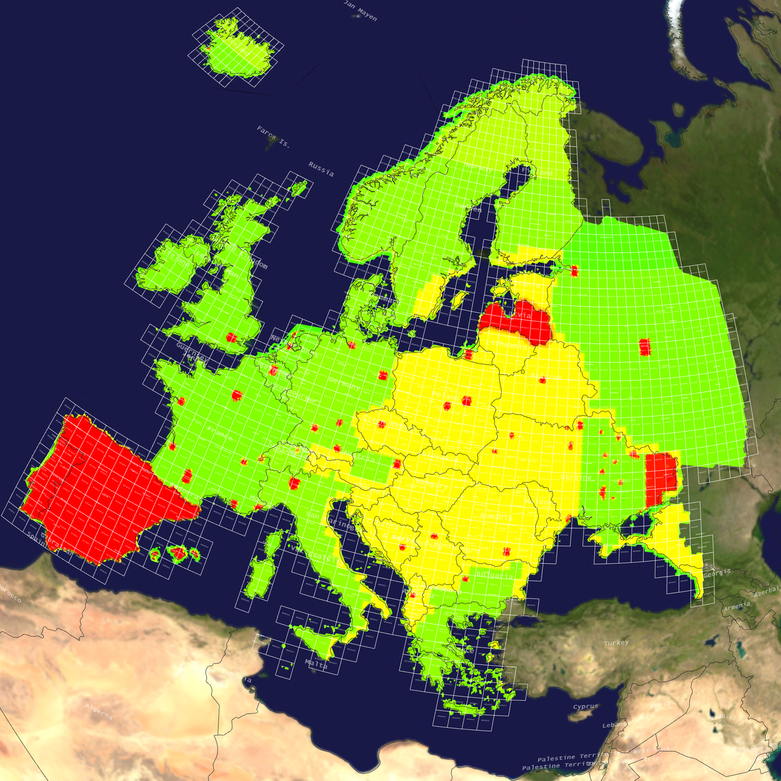
Resolution Color Key
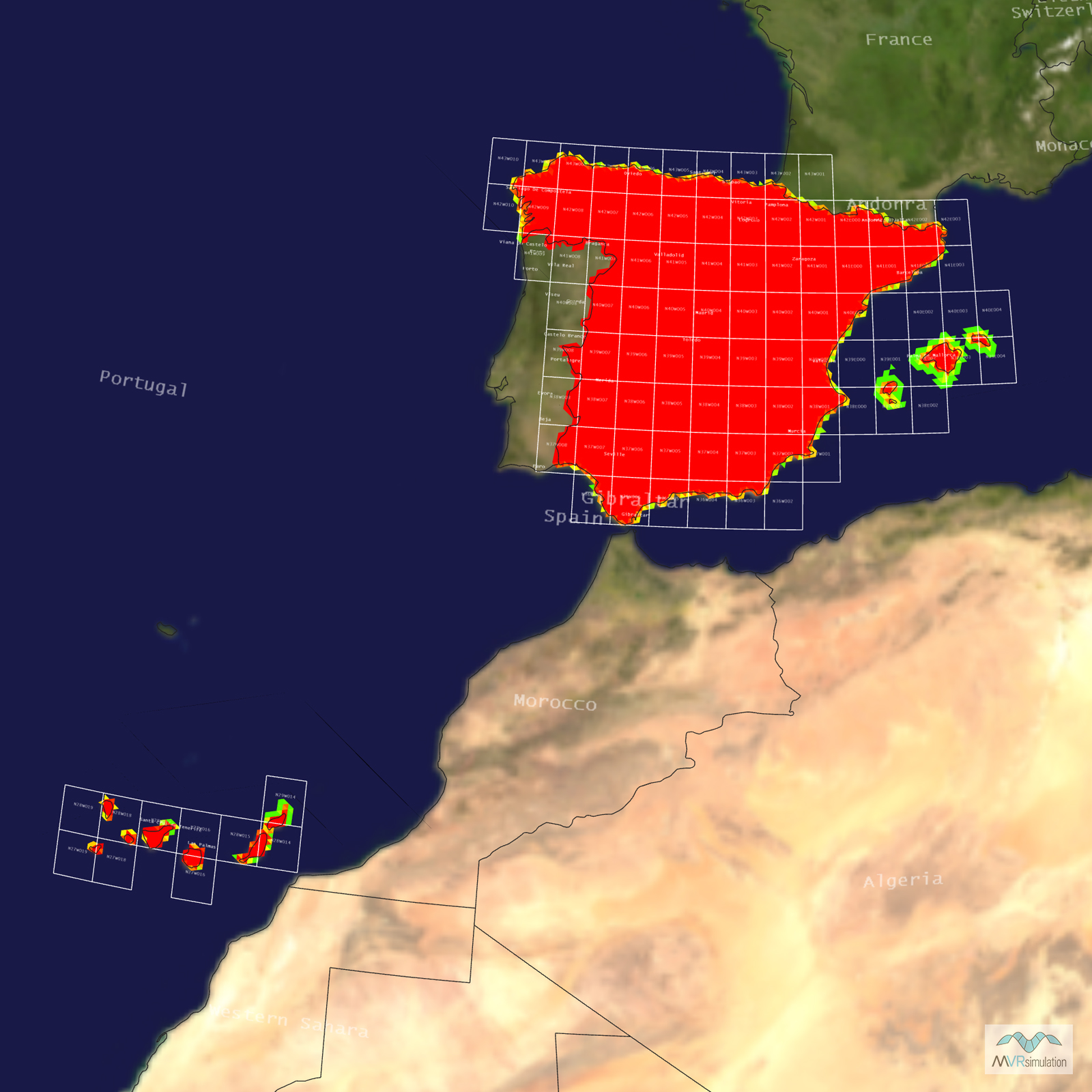
Red - Finest Resolution
Terrain color-coded red is VRSG’s highest resolution imagery available. Built from high-resolution source imagery that is 2cm per pixel to 1 meter per pixel, this terrain is designed for use in training scenarios where ground level detail and close correlation between a live range and the virtual terrain provides an enhanced, highly realistic training experience for the user. This includes ground-based systems, including JTAC, Urban Operations, Close Quarters Battle Training, and Combined Arms Virtual Environment (CAVE) simulators; as well as low-altitude air-based simulators such as those designed for Close Air Support (CAS), aviator range familiarization, and First Person View UAS operator training.
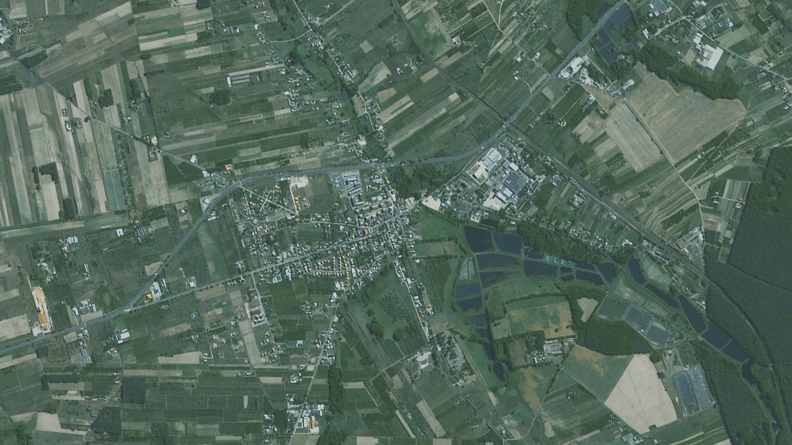
2-5cm per pixel UAV captured imagery
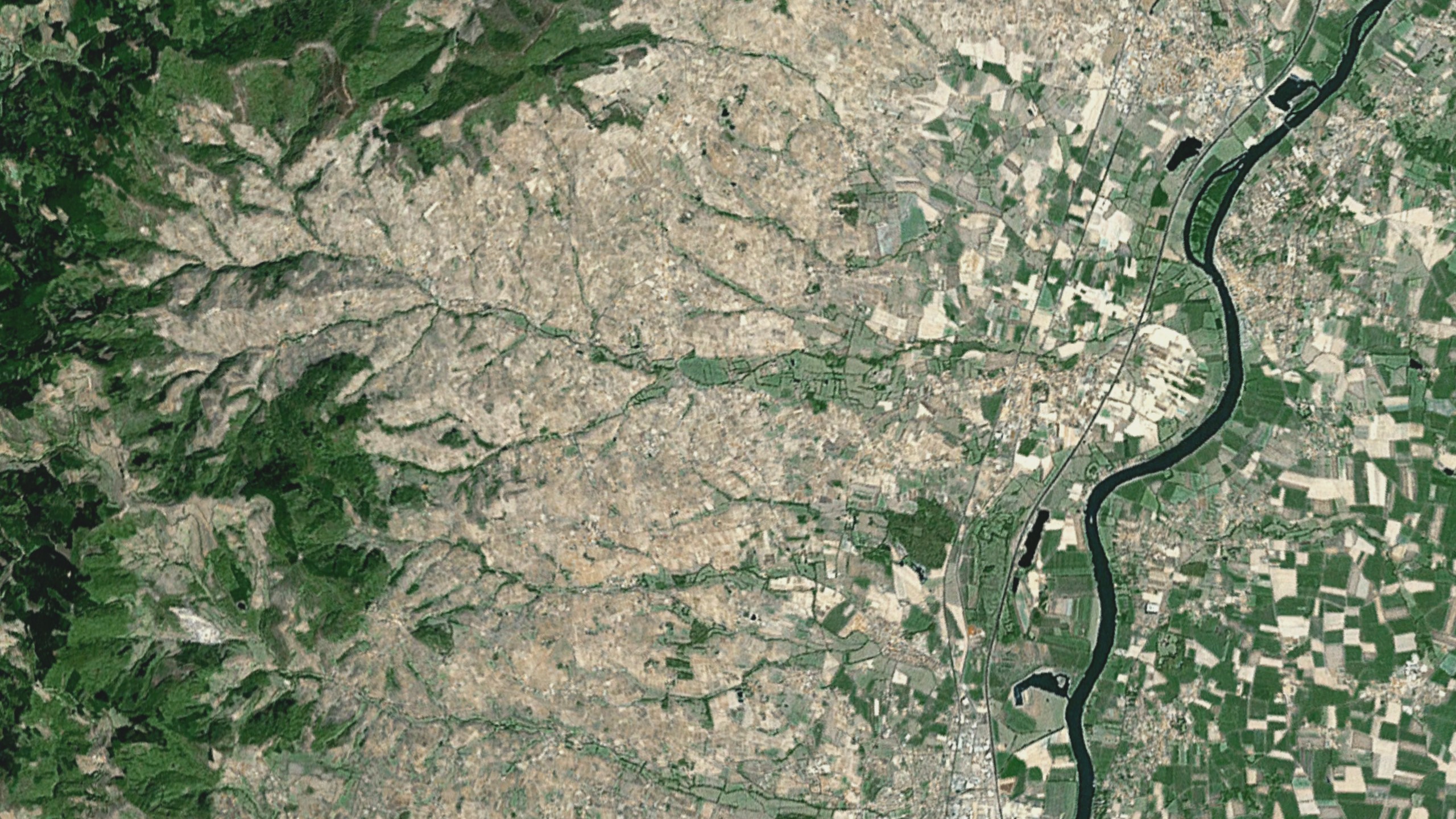
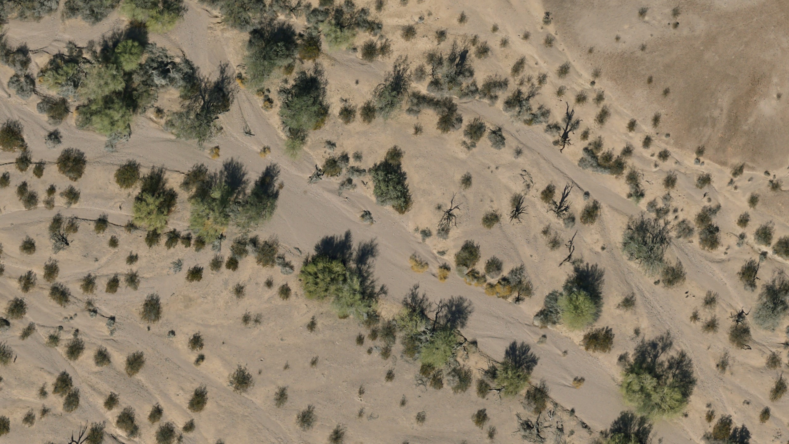
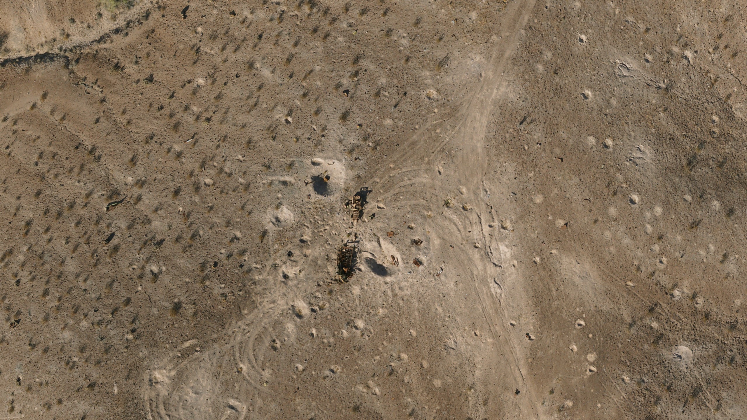
VRSG's ultra-high-resolution terrain is produced via a low-cost UAS data collection method. Imagery is captured at geographically specific 2-5cm per-pixel resolution, then processed to produce a geospecific terrain that retains surface level details of the original imagery, such as helicopter landing areas, road markings and vehicle targets. Small craters in the ground left from exploded ordnance, and bullet holes in targets remain visible in the terrain.
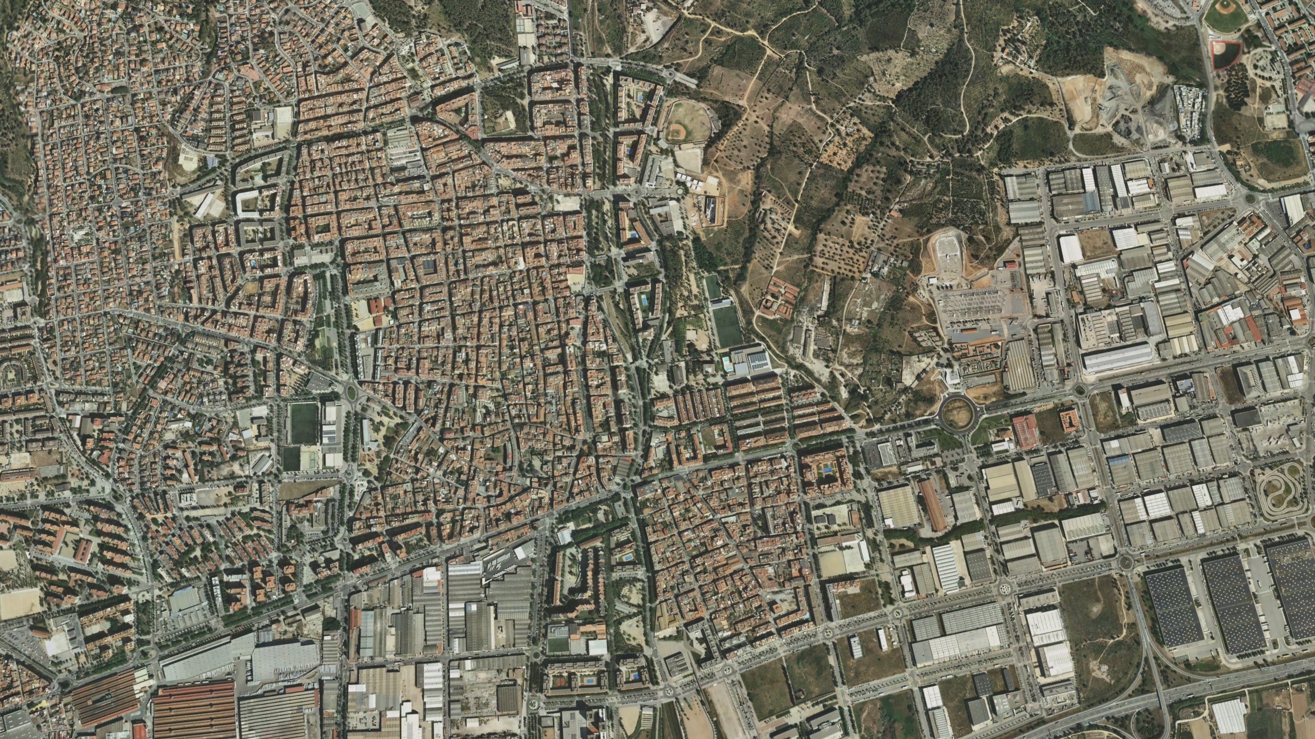
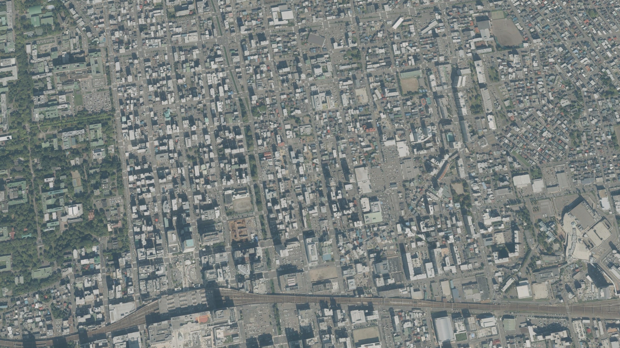
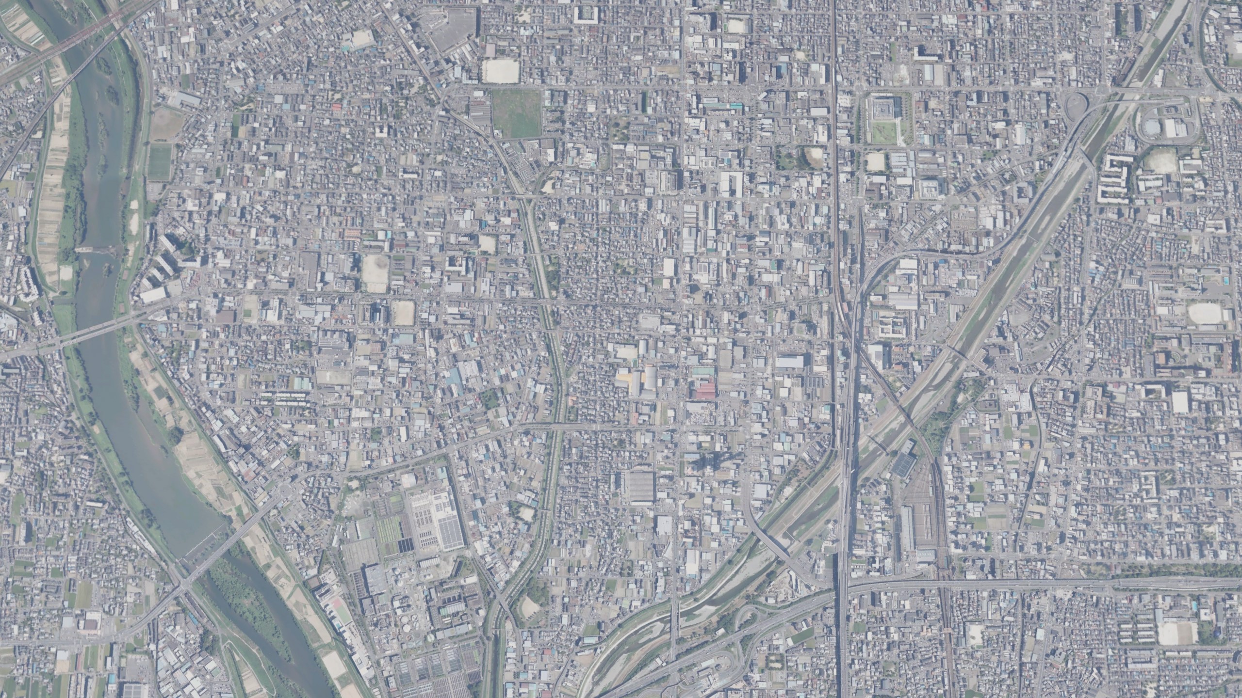
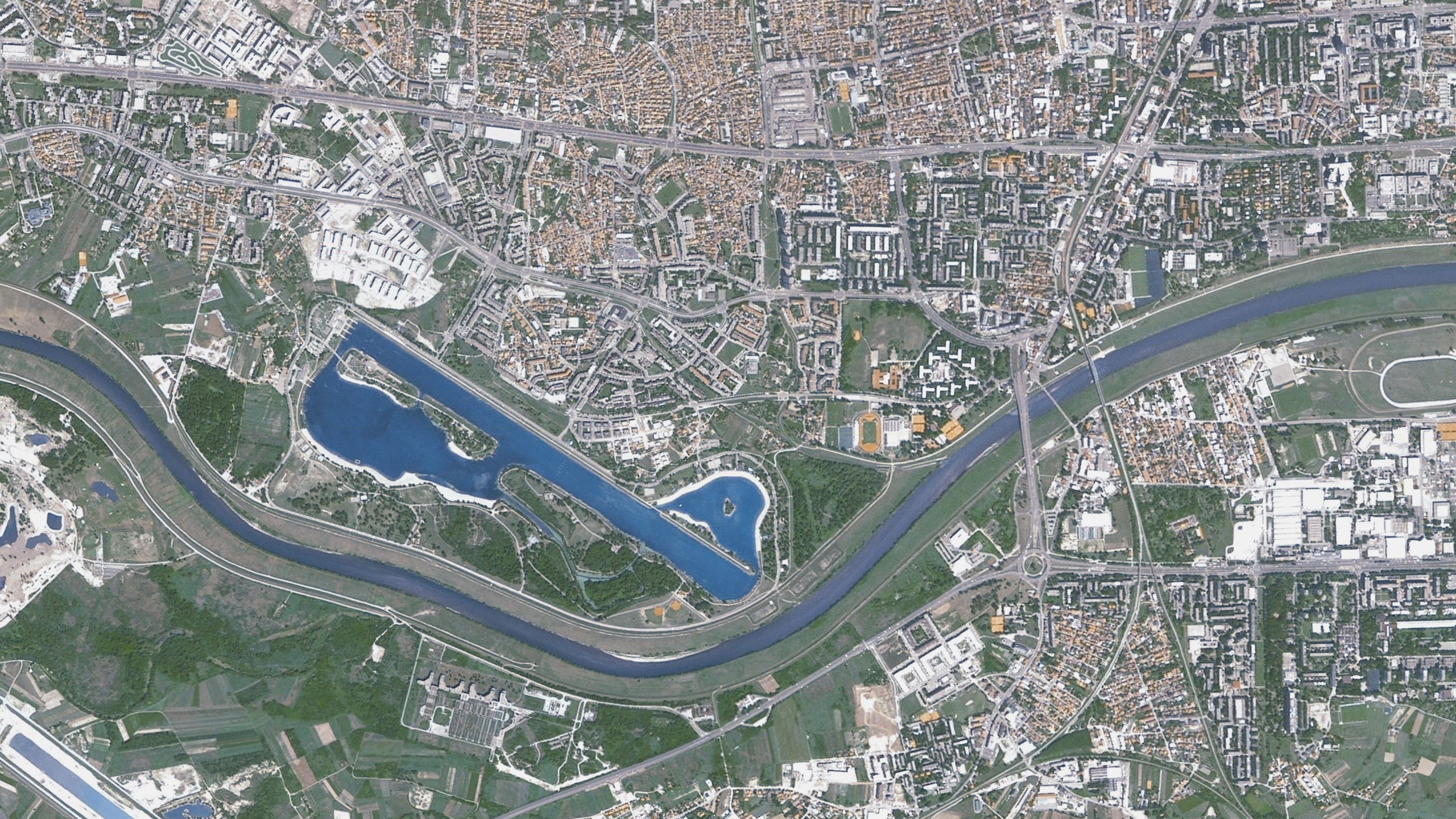
15cm to 1m per pixel satellite imagery
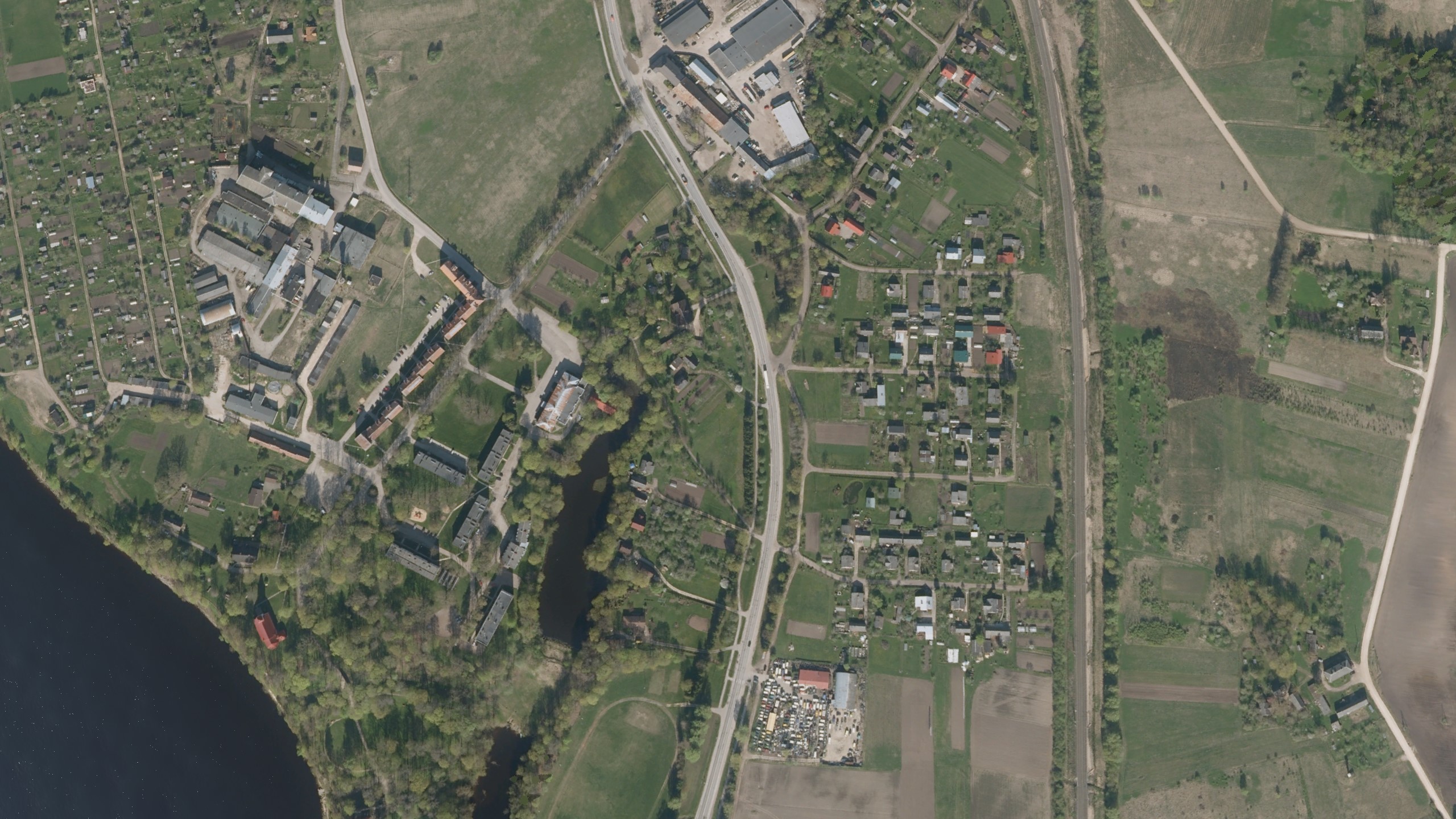
VRSG's second highest resolution imagery is built from 15cm to 1m per pixel resolution imagery to create terrain that closely matches real-world locations. This includes many of VRSG's virtual airports and military airfields, which are built from a blend of high-resolution terrain blended into CONUS NAIP 1m per pixel imagery. Culture content is then placed with Scenario Editor, including geospecific buildings and structures such as control towers built from geospecific imagery, along with accurate runways, runway lights, markings, and signage.
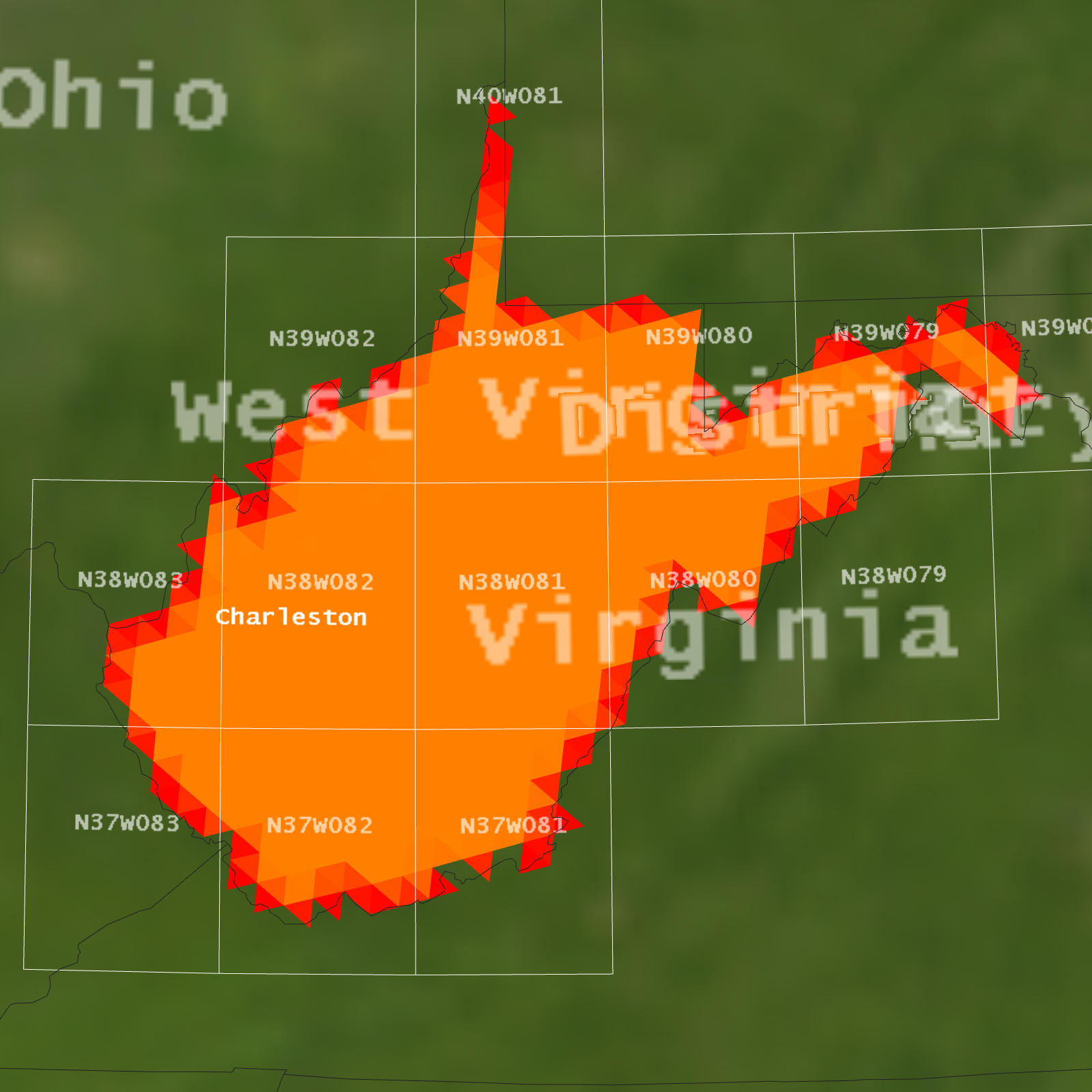
Orange - Finer Resolution
Terrain that is color-coded orange is built from imagery that has a resolution of between 1m to 2.5m per pixel. This terrain can be used in simulators for UAS operator target identification training, JTAC ground strike training, urban operations, helicopter pilot landing drills, amphibious operations, and littoral security missions. Detailed terrain that closely correlates to real world locations, built using a mixture of open source photographs, publicly available video, and satellite imagery. This terrain includes a mixture of geospecific buildings, VRSG culture such as vegetation, power lines, street signs, and blended microtextures produced in Terrain Tools for ArcGIS® Pro.
1m to 2.5m per pixel imagery
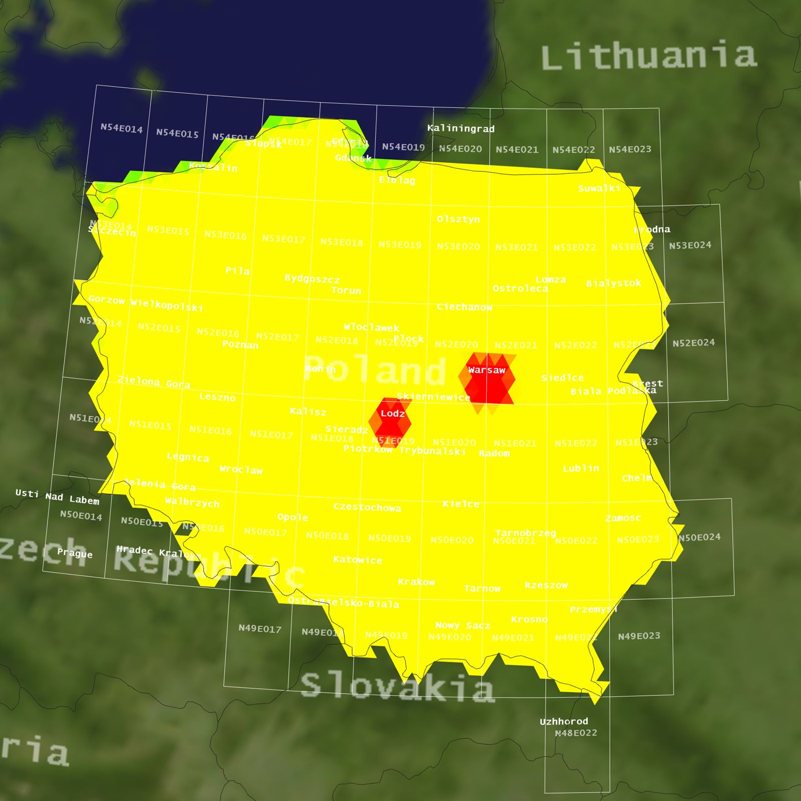
Yellow - Fine Resolution
VRSG’s yellow color-coded terrain provides fine resolution datasets for simulation systems that provide low altitude air-based training. This includes simulators for missions such as A-10 gun runs, or air-supported CAS missions. It may also include training for higher-altitude simulators that include a low- or ground-based component, such as taking off or landing at specific airfields; where a high-resolution inset may be blended into the wider area terrain. Many of these datasets also include higher resolution insets, such as geospecific airport buildings and infrastructure blended into surrounding terrain.
2.5m to 5m per pixel satellite imagery
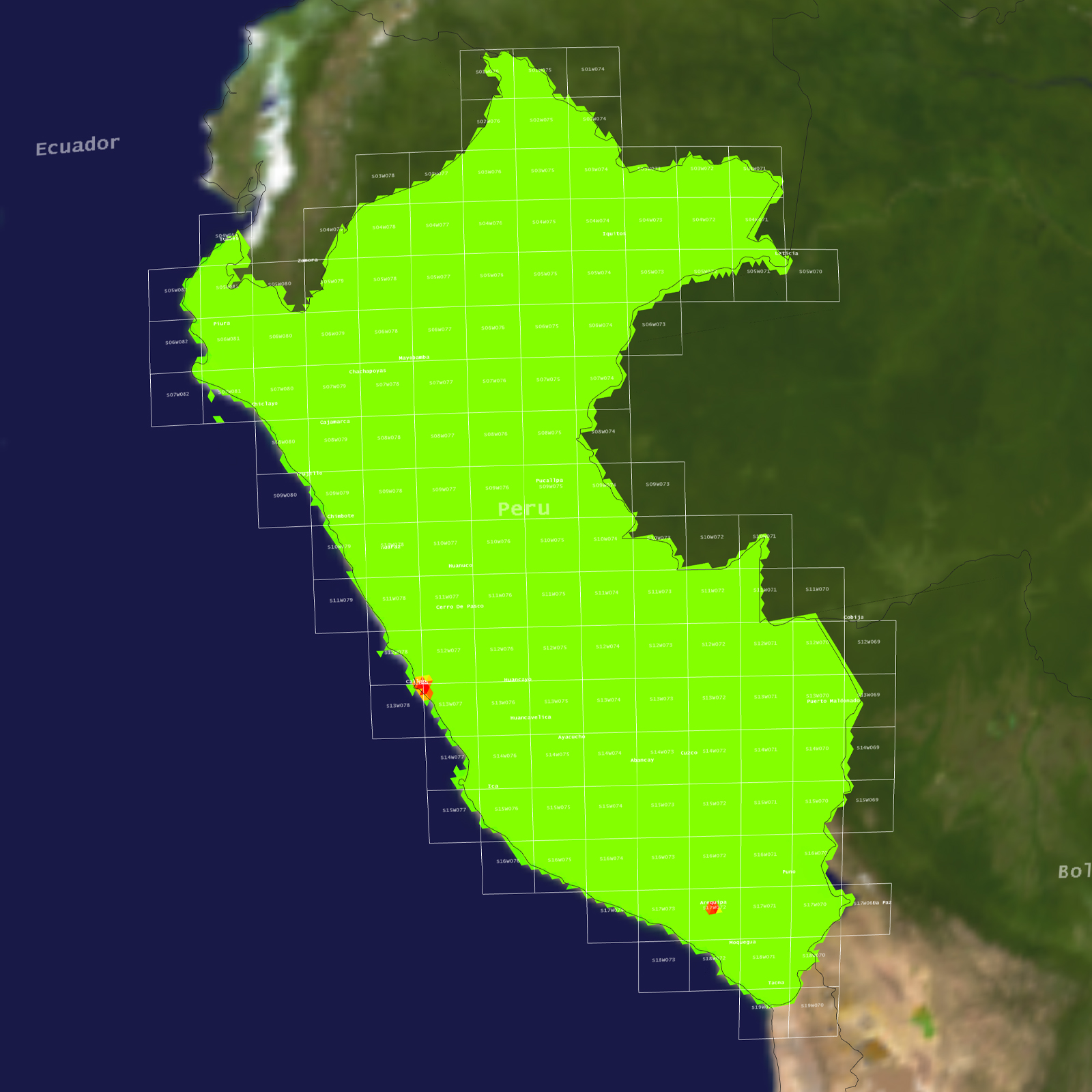
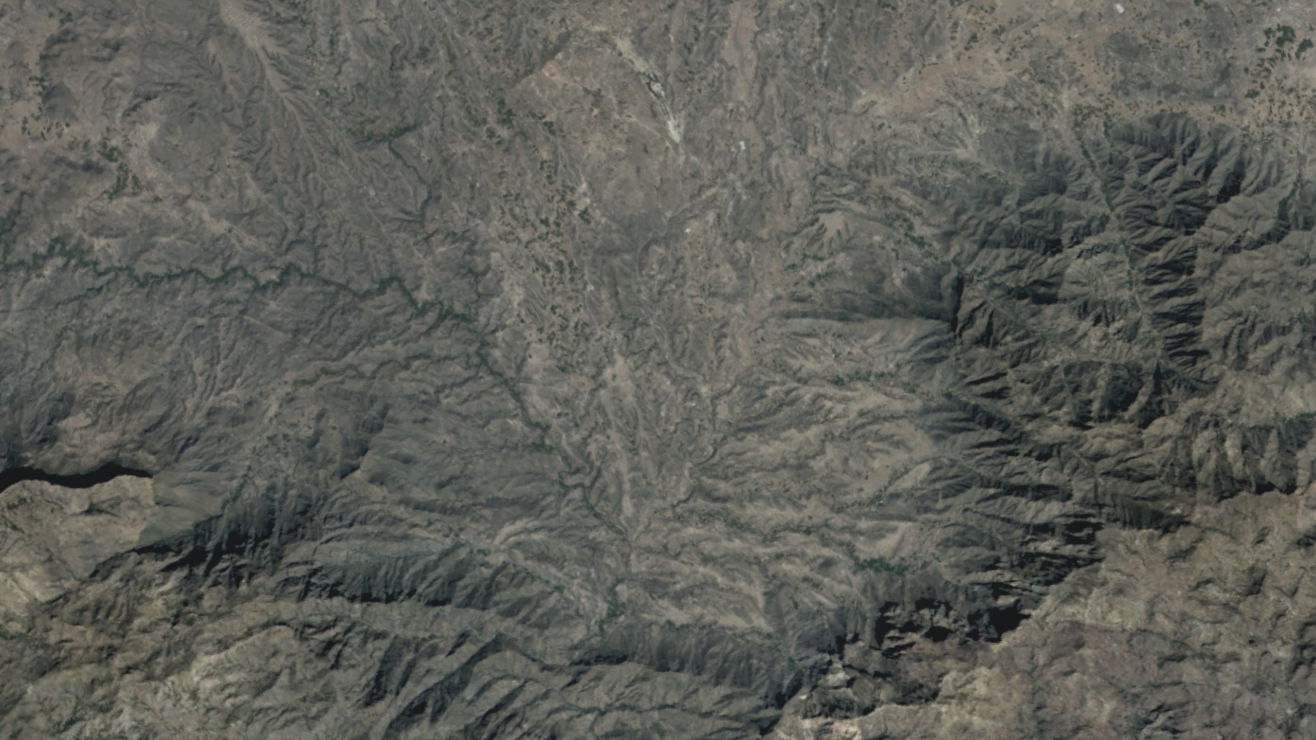
Green Imagery Resolution
VRSG’s green color-coded terrain is designed for use in high-altitude air simulation systems, such as fast jet tactics and ultra-high altitude unmanned aircraft ISR sensor operation training, where highly detailed terrain at ground level is not required. Built from 15 meters-per-pixel color NaturalVue imagery, this imagery shows geospecific terrain features, both naturally occurring and man-made structures. These datasets typically cover an extremely large area rendered in MVRsimulation’s round-earth VRSG terrain architecture. Datasets can be enhanced with high-resolution imagery insets to show ground level detail where required, such as capital cities in whole country terrain, for applications such as sensor operator training.
5m to 15m per pixel imagery