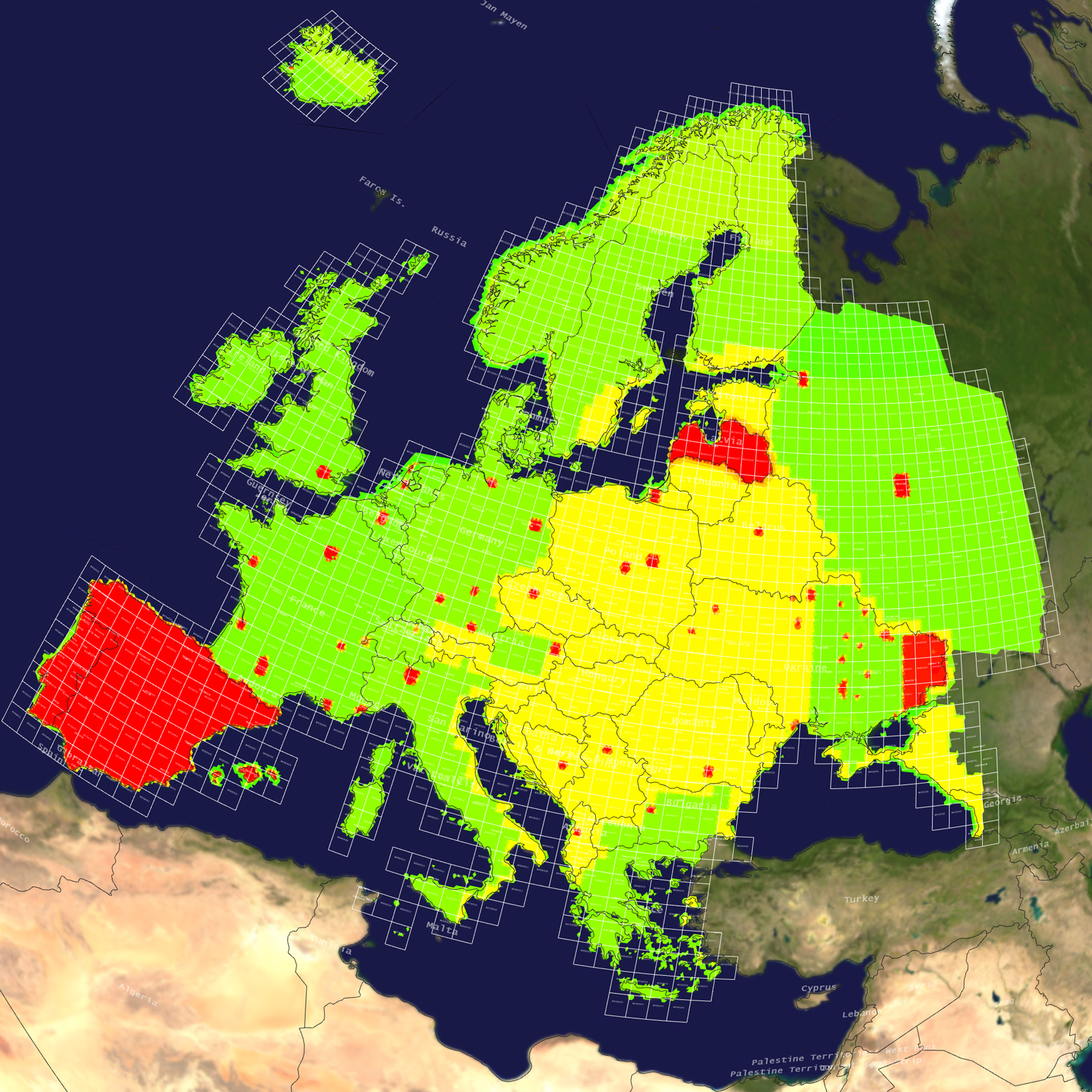
Tile Coverage Map
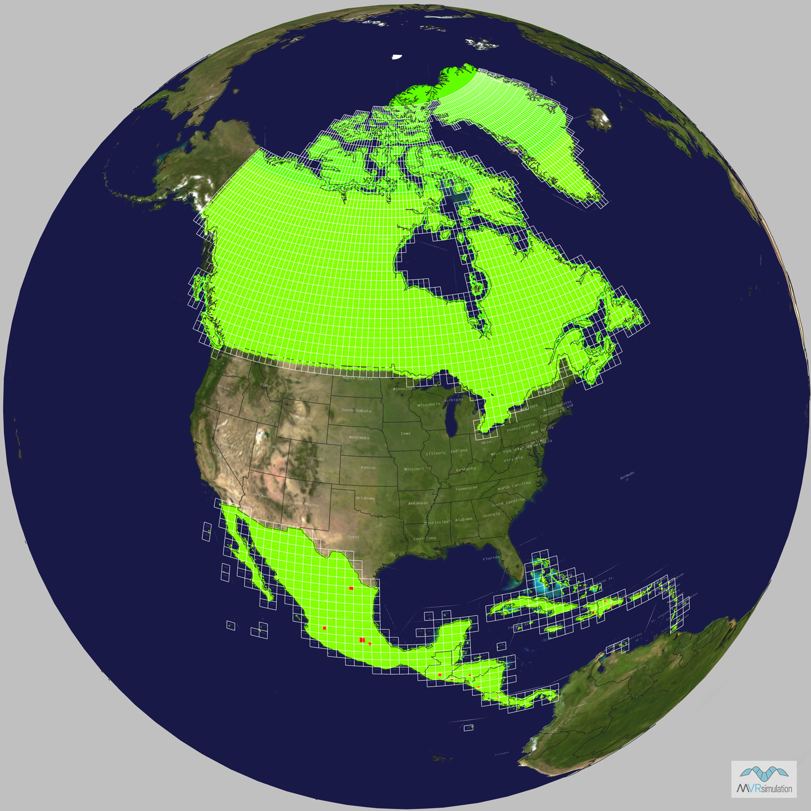
Terrain Database Information
- Imagery: 15mpp base imagery with higher resolution insets
- Elevation: SRTM 3 arc-second (=90m) elevation data with higher resolution insets
- Terrain Drive: North America
- The North America terrain drive does not contain terrain of the United States. Find CONUS plus Alaska and Hawaii terrain on the CONUS regional drives.
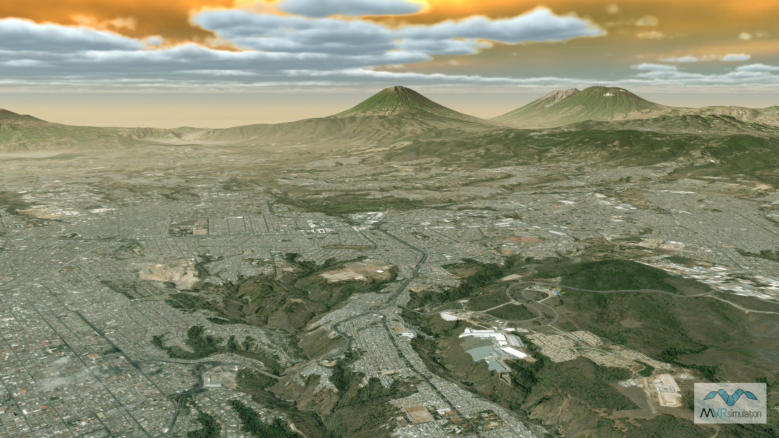
Natural color high-resolution insets with 60cm imagery
Havana, Cuba; Santa Domingo and Santiago De Los Caballeros, Dominican Republic; Port-au-Prince, Haiti; San Juan, Puerto Rico; San Jose, Costa Rica; San Salvador, El Salvador; Guatemala City, Guatemala; Tegucigalpa, Honduras; Aguascalientes, Guadalajara, Mexico City, Monterrey, and Puebla, Mexico; Managua, Nicaragua
MVRsimulation VRSG real-time scene of virtual San Jose, Costa Rica.
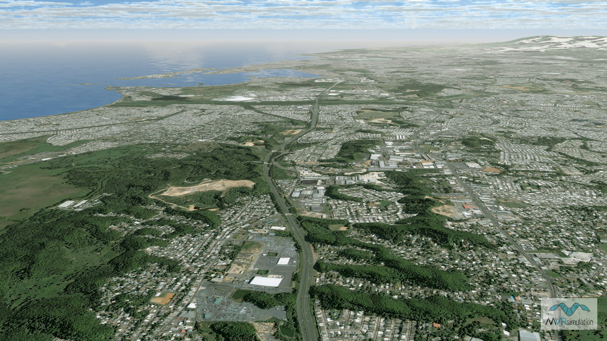
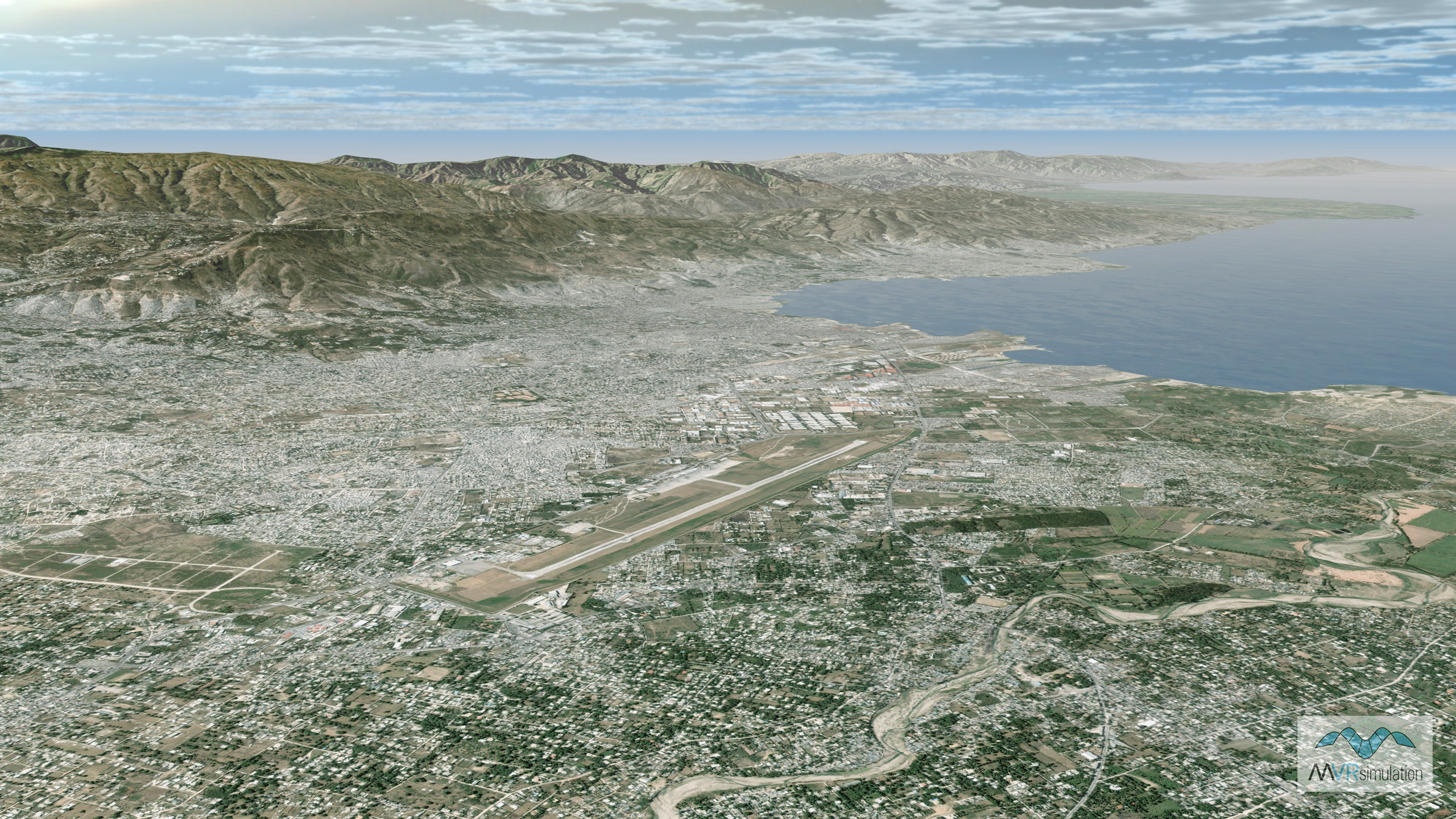
MVRsimulation VRSG real-time scene of virtual San Jose, San Juan, Puerto Rico.
MVRsimulation VRSG real-time scene of virtual Port Au Prince, Haiti.
MVRsimulation VRSG real-time scene of virtual Havana, Cuba.
MVRsimulation VRSG real-time scene of virtual Tegucigalpa, Honduras.
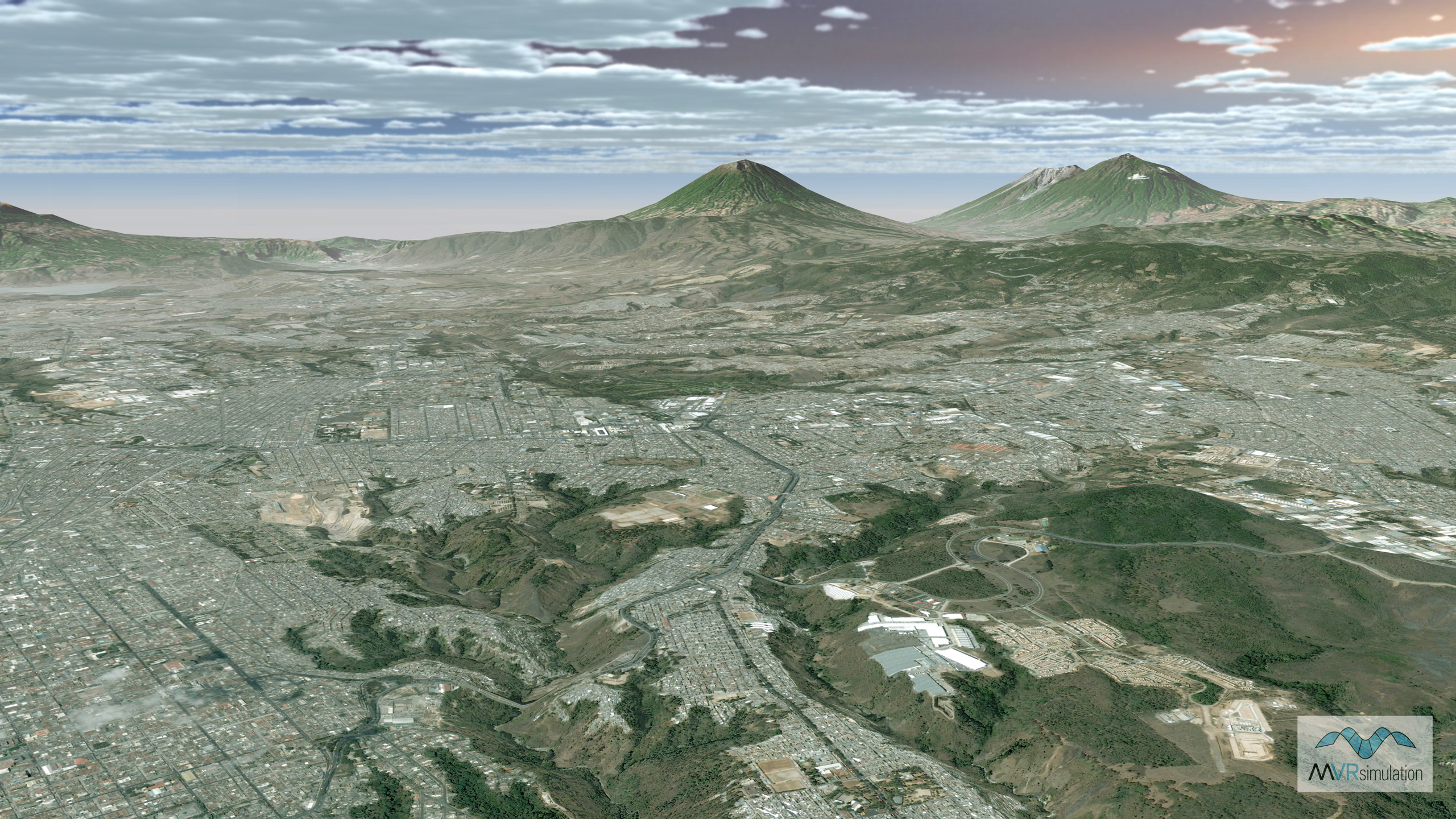
MVRsimulation VRSG real-time scene of virtual Guatemala City, Guatemala.
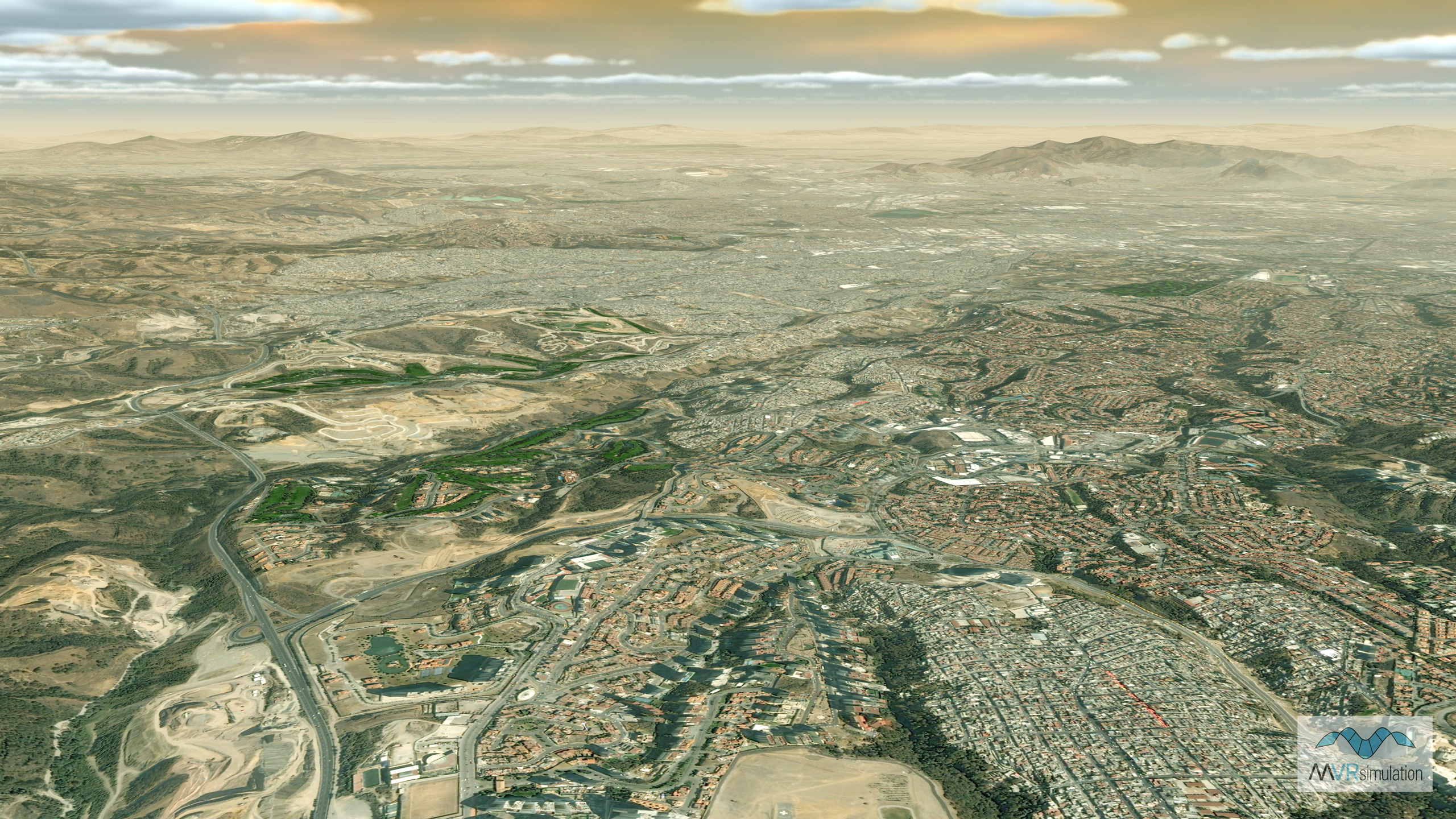
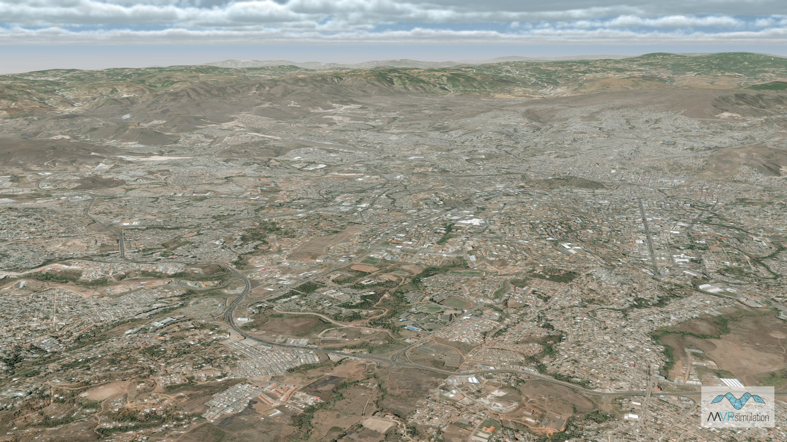
MVRsimulation VRSG real-time scene of virtual Mexico City, Mexico.
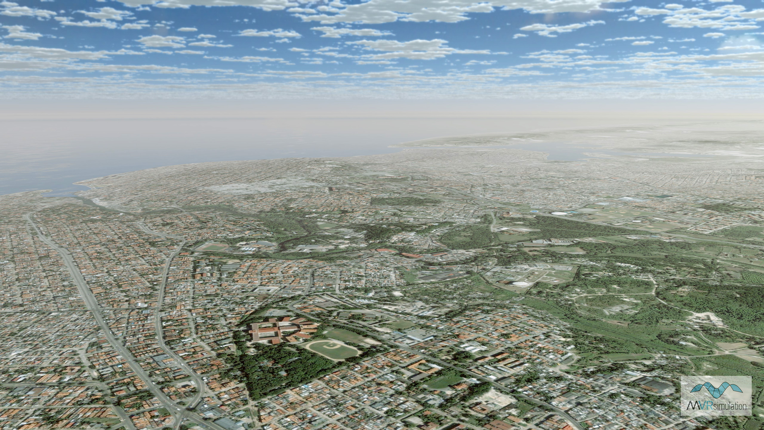
MVRsimulation VRSG real-time scene of the virtual San Salvador, El Salvador, area of the North American terrain.