
Products
VRSG, Geospecific Terrain, and 3D Models
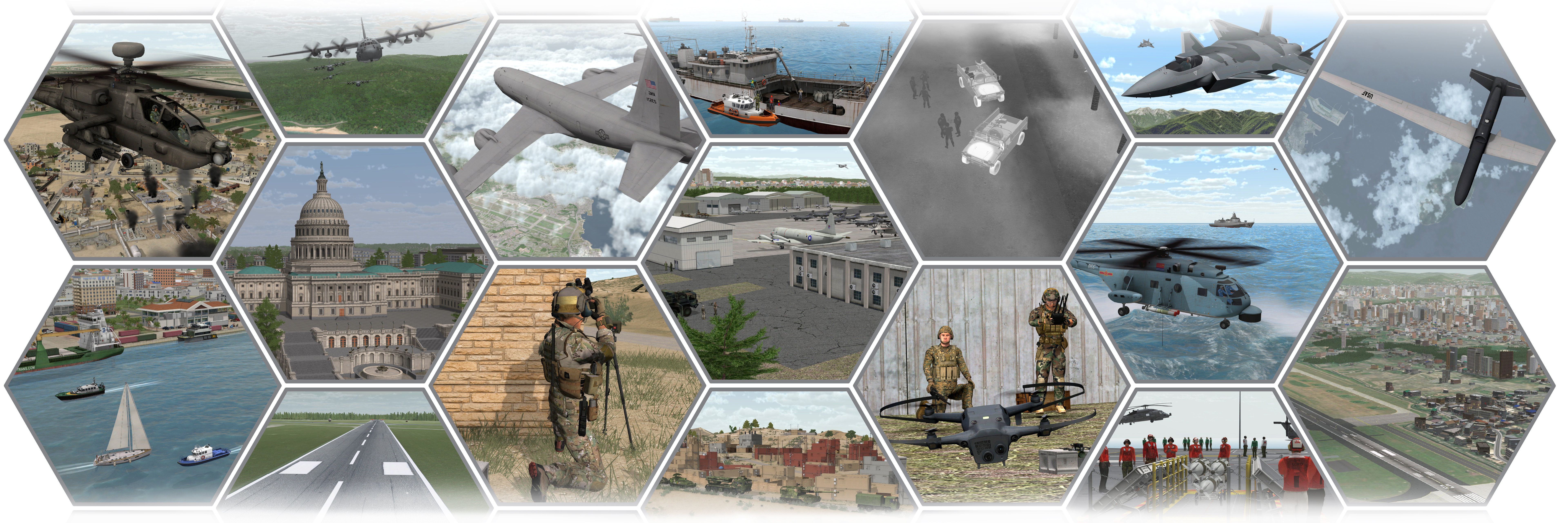
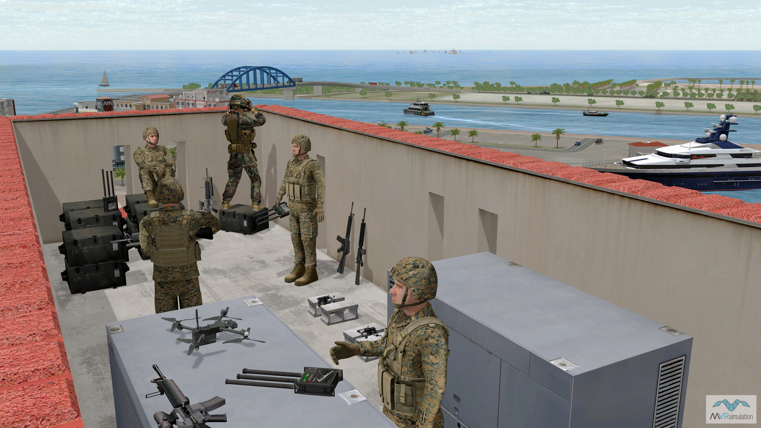
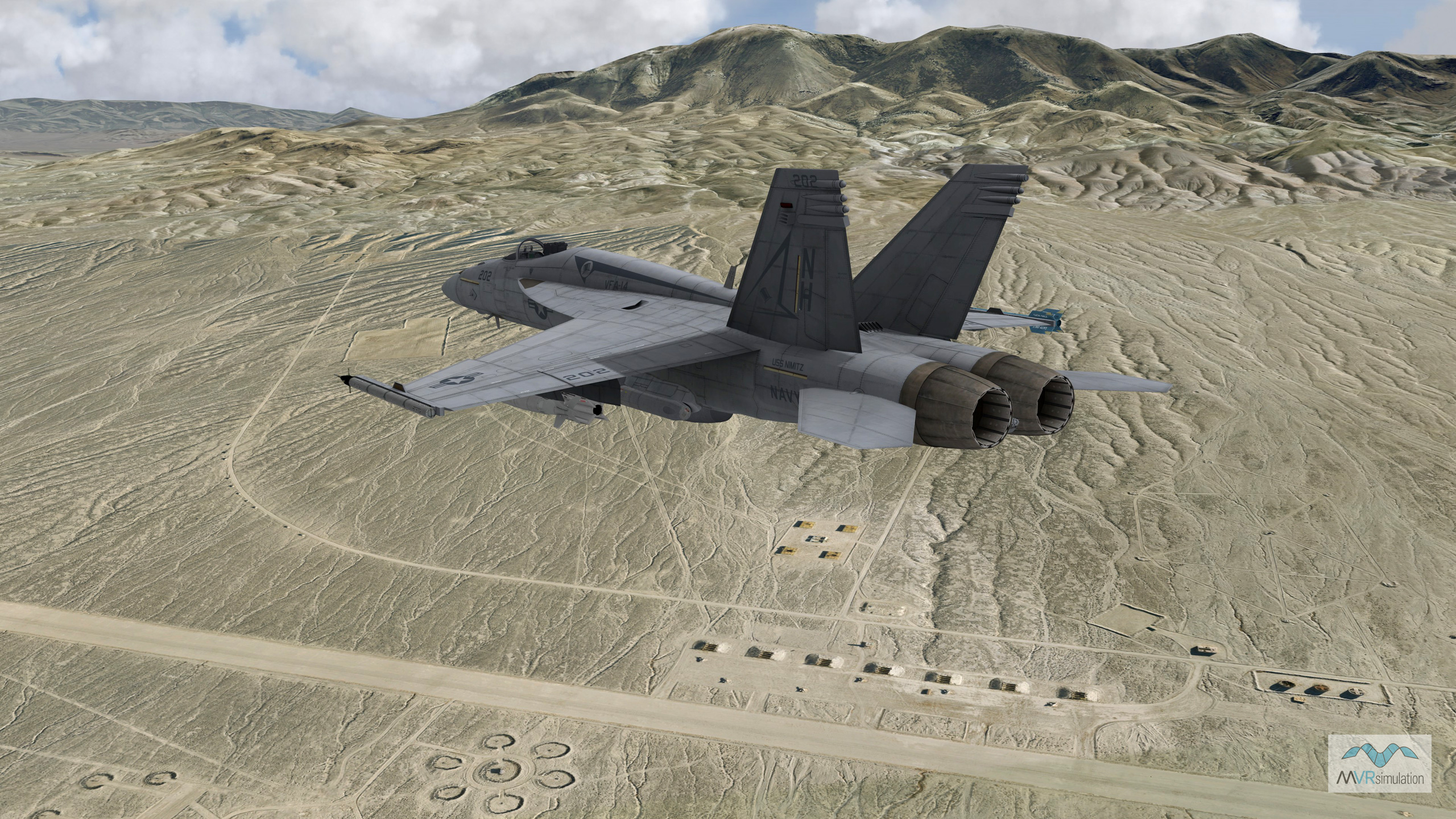
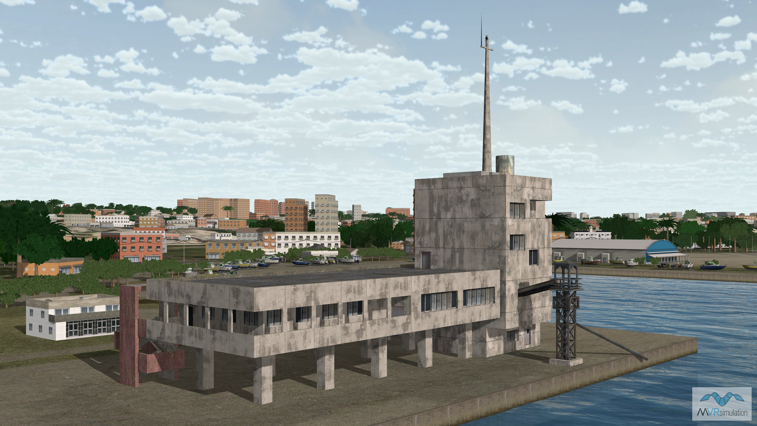
MVRsimulation delivers geospecific visualization solutions for commercial, military, and government simulation training. Virtual Reality Scene Generator® (VRSG®) is a real-time image generator engineered for high-performance on commercial PC hardware. VRSG renders round-earth virtual environments derived from real-world elevation and high-resolution commercial and open-sourced, public imagery. MVRsimulation’s round-earth VRSG terrain architecture supports whole-world terrain generation with high-fidelity 3D modeled inset areas of interest. The geospecific terrain databases are built using geospecific and geotypical models from MVRsimulation’s 3D Model Library. The model library includes over 10,500 unique, highly detailed models, consisting of commercial and military vehicles, personnel, weapons systems, and cultural models.
Portable and Deployable Simulators
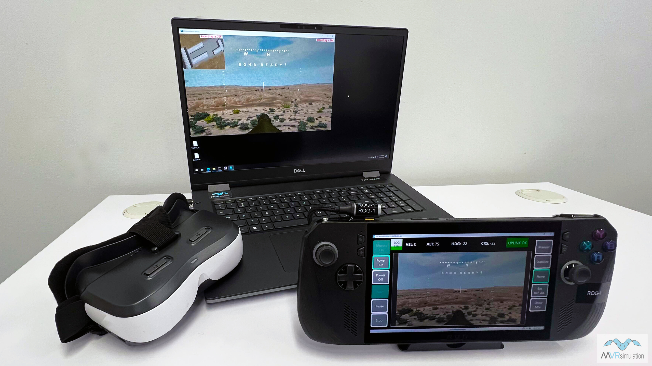
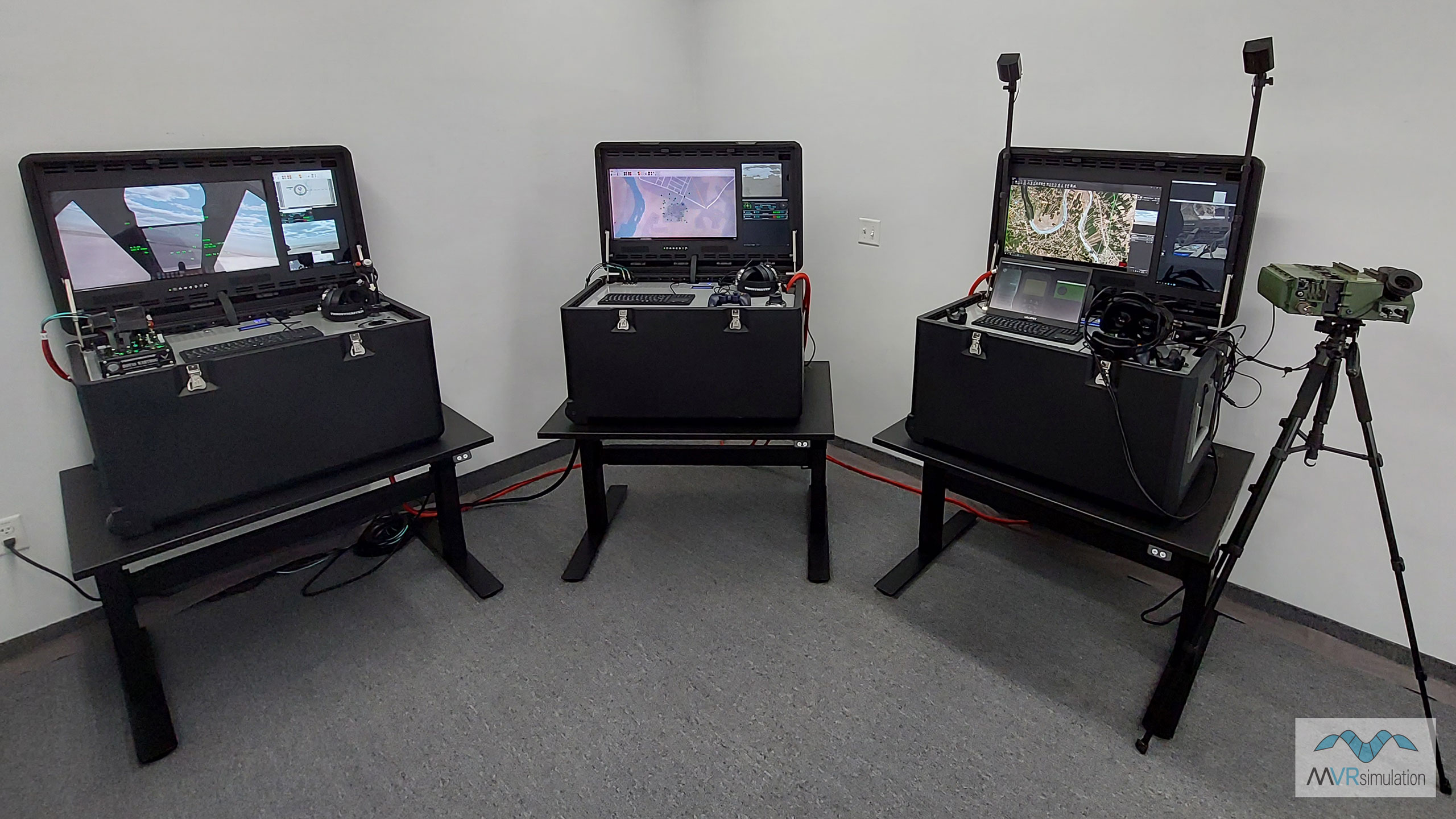
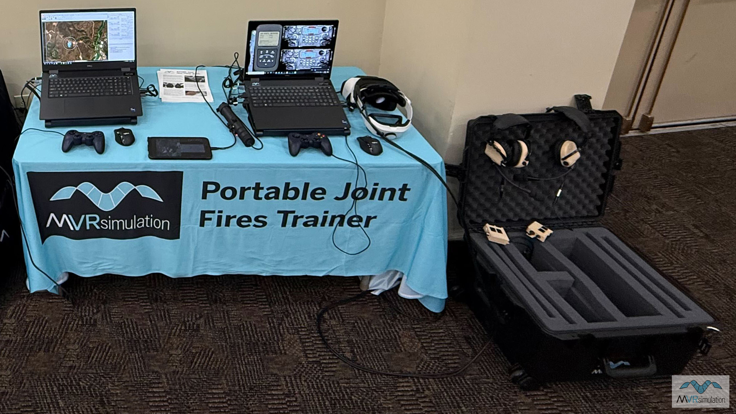
MVRsimulation delivers complete simulator systems developed through internal design and funding. These simulators prioritize operational flexibility, quick deployment, and portability for [efficient?] training at the point of need. Our simulator line includes the First Person View (FPV) UAV Simulator, which provides a high-fidelity solution for flying and operating modern attack and surveillance quad-copter drones. Complementing this is our Joint Fires Training ecosystem, comprised of the Deployable Joint Fires Trainer (DJFT) and the ultra-portable Portable Joint Fires Trainer (PJFT), which offers full-spectrum Joint Terminal Attack Controller (JTAC) training that integrates seamlessly with existing in-use simulators.
Building Virtual Worlds and VRSG Rendering Technologies
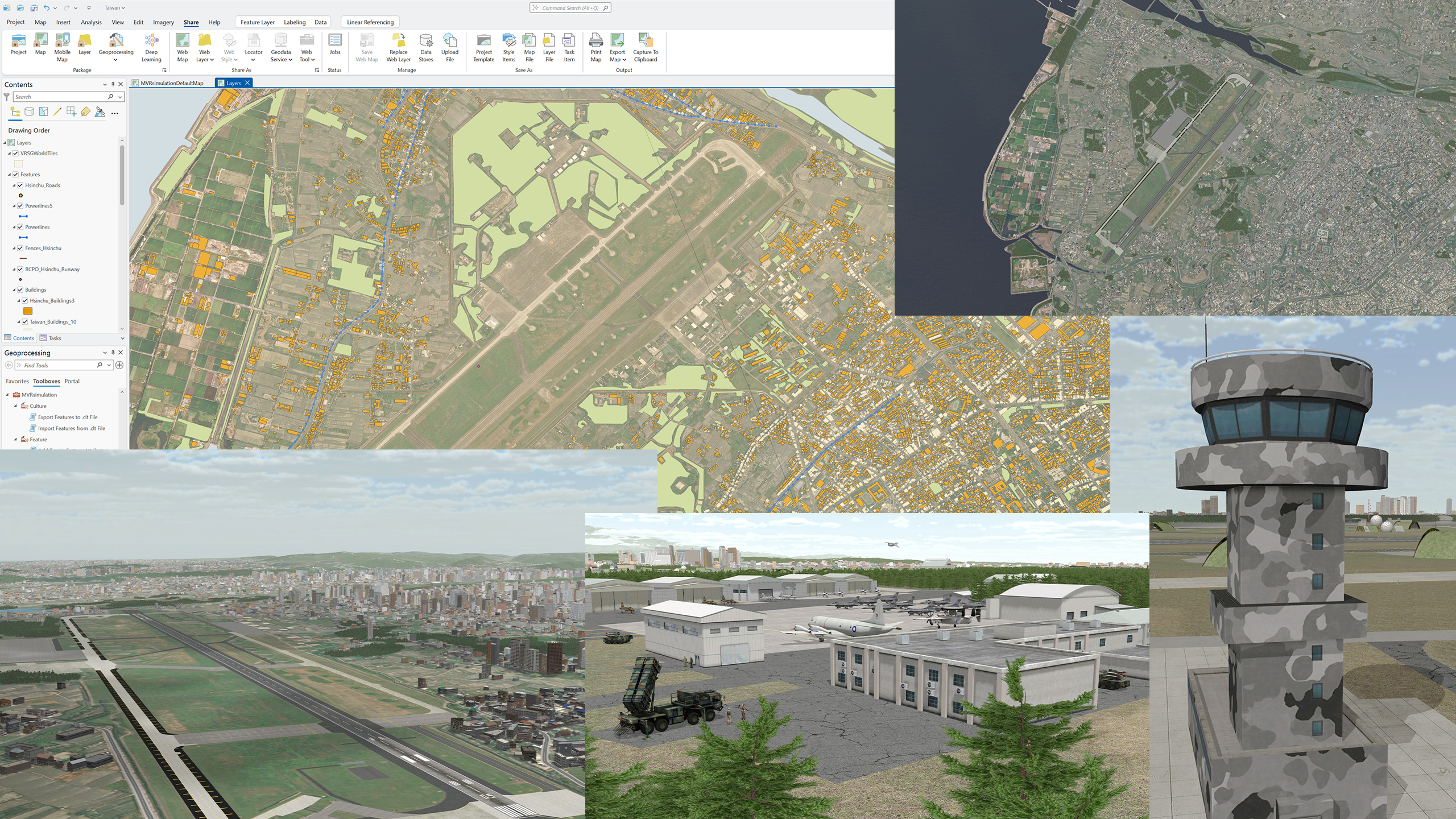
MVRsimulation’s Terrain Tools for ArcGIS Pro® enables users to rapidly generate high-fidelity, round-earth 3D terrain databases directly from geospatial source data. This extension integrates seamlessly with Esri’s ArcGIS Pro platform, allowing users to compile aerial imagery, elevation data, and vector features into MVRsimulation’s proprietary round-earth VRSG terrain format for real-time visualization in VRSG. The tools feature a WYSIWYG interface for live compositing, advanced raster processing (such as pan-sharpening and color correction), and the ability to integrate external 3D content, including CityEngine procedural models and high-resolution inset areas. This streamlined workflow supports the creation of massive, continuous global terrains suitable for multi-domain military training, from low-level ground operations to high-altitude flight simulation.
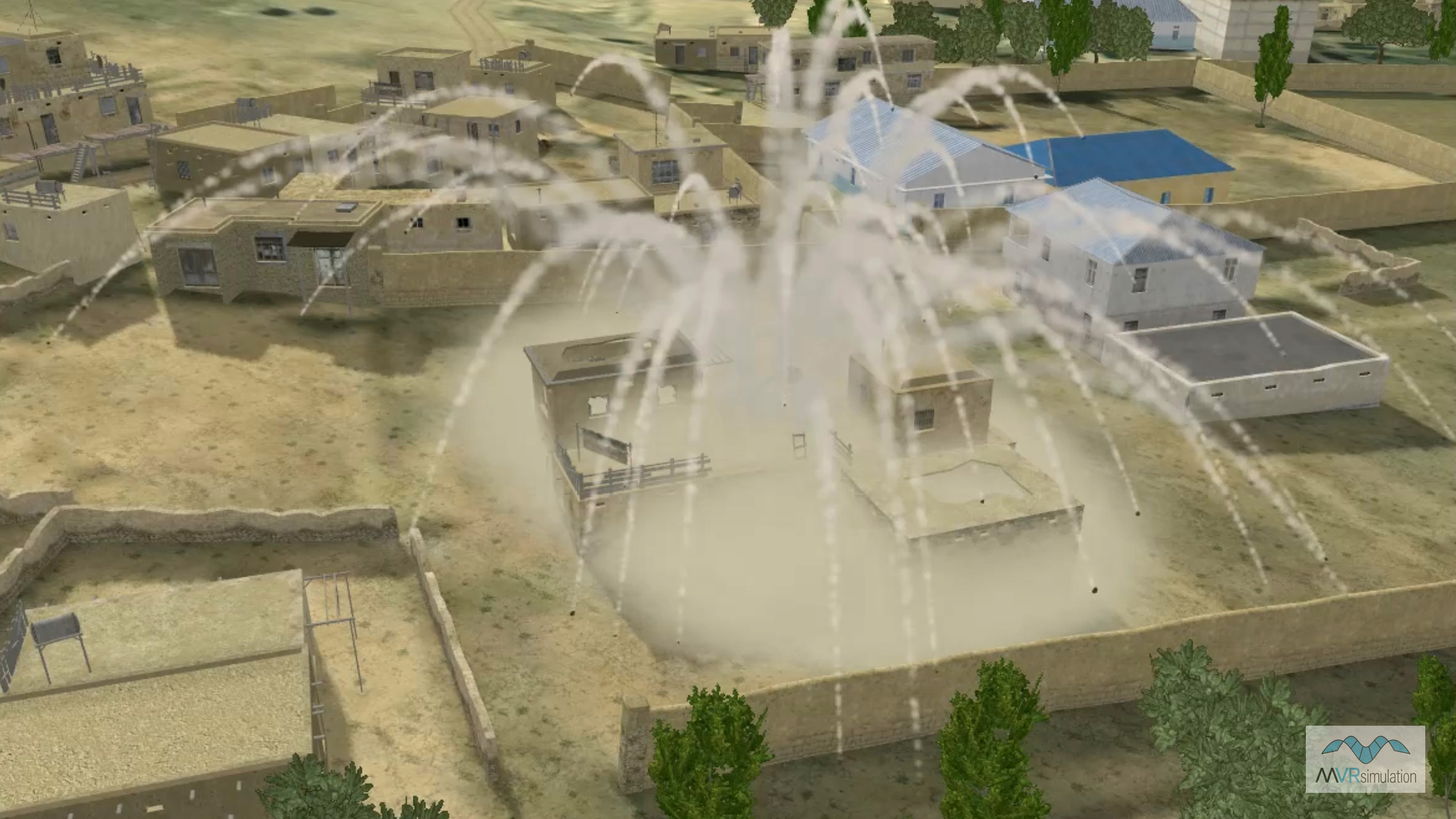
Building Virtual Worlds and Rendering Technologies detail the advanced techniques used to bring these environments to life. MVRsimulation’s round-earth VRSG terrain architecture provides a seamless global coordinate system that accurately models the Earth's curvature for long-range weapon engagement and distributed mission operations. Rendering technologies include a 3D ocean simulation with dynamic sea states and wake effects, volumetric clouds, and ray-traced terrain shadows that accurately reflect time-of-day conditions. Lighting systems feature thousands of interactive light points and lobes for realistic night scenes, while dynamic effects such as cratering, particle-based smoke, and sensor simulations ensure that the visual environment reacts authentically to training scenarios.
Live and Virtual Demos
MVRsimulation products and technologies are best experienced during a hands-on demo. MVRsimulations offers several opportunities to get hands-on and first-person demos including tradeshows, in-person demos at our facility, on-site visits to your location, or virtual remote demos.
Contact us today to schedule your personalized demo.