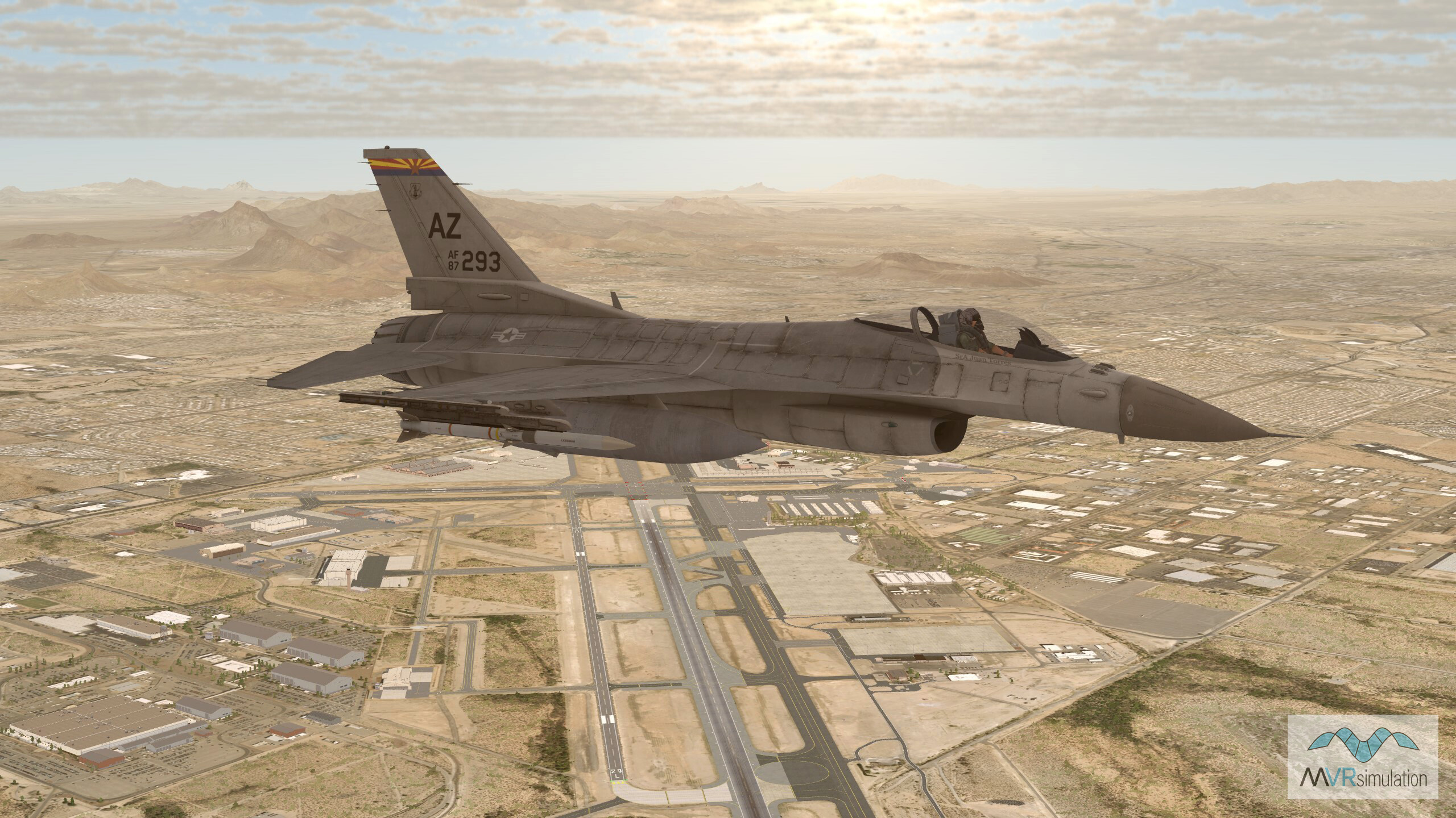
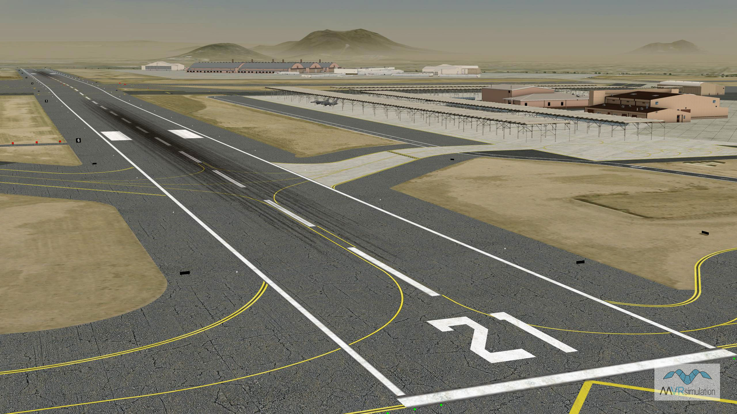
Tucson International Airport (KTUS) Terrain Database Information
- Imagery: 15cm
- Elevation: Interpolated NED 1/3 (10mpp) DTED 1, and custom elevation at Tucson Airport to match FAA airfield elevations with at least 95% accuracy
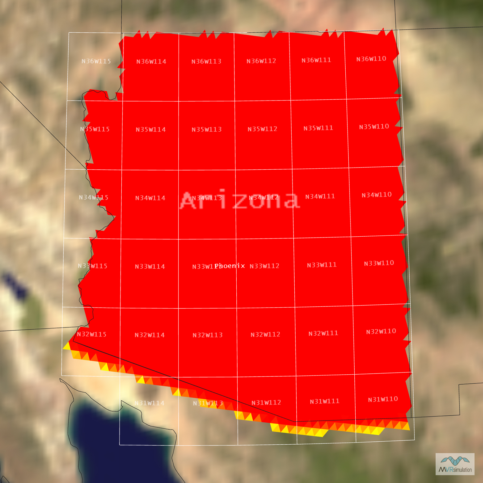
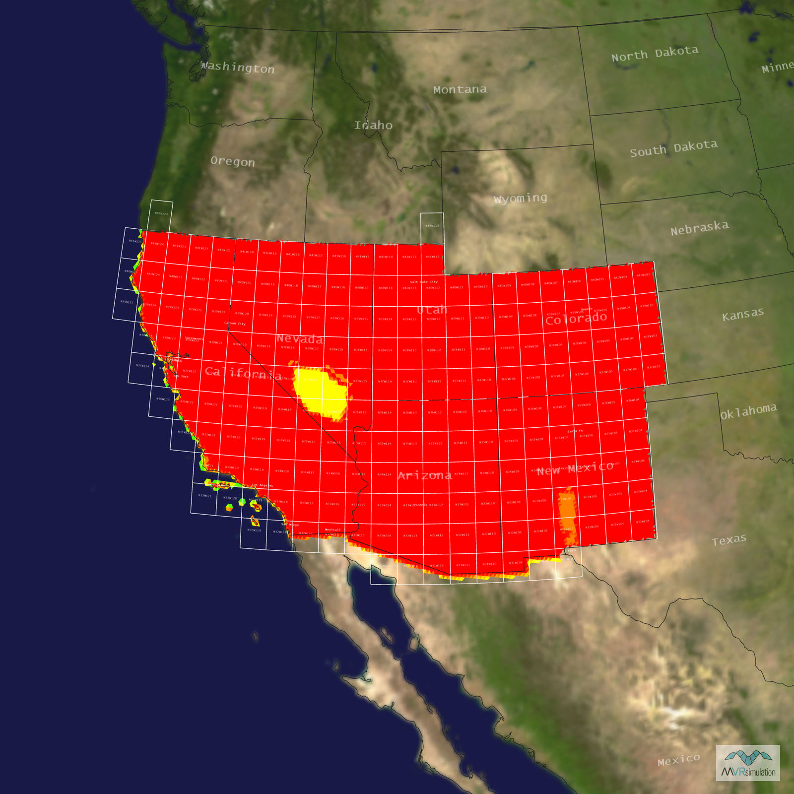
- Terrain Drive: CONUS Southwest
- Cultural Features: Control Tower, Custom Models (Geospecific Buildings), Hangars, Lighting for Non-Runway Areas (Streetlights), Runway, Runway Lights, Trees
Tile Coverage Map
EXTEND YOUR TERRAIN DATABASE
MVRsimulation Downloads Server
- Explore and implement terrain updates
- Download and use new 3D models
- Stay up-to-date with VRSG features
- Discover utilies for expanding VRSG
MVRsimulation Regional Terrain Drives
- External hard drive - regional terrian
- Network attached storage device - whole-world terrain
- Ready for plug and play
- Available to customers on active maintenance
MVRsimulation Produced Custom Terrain
- Custom terrain created by MVRsimulation's terrain team
- Specify your desired area of interest
- Indentify needed terrain features.
- Use your own or commercially available imagery
Create Terrain with Terrain Tools
- Build real-time 3D terrain for VRSG using GIS technology with ArcGIS Pro
- Designed to be user-friendly for users with basic ArcGIS knowledge
- Use imagery, elevation, and optional vector data to create terrain
- Compile buildings from 2D polygon footprint features using a CityEngine rule package