McKenna MOUT Site at Fort Benning Terrain Database Information
- Imagery: 30cm
- Elevation: SRTM 30
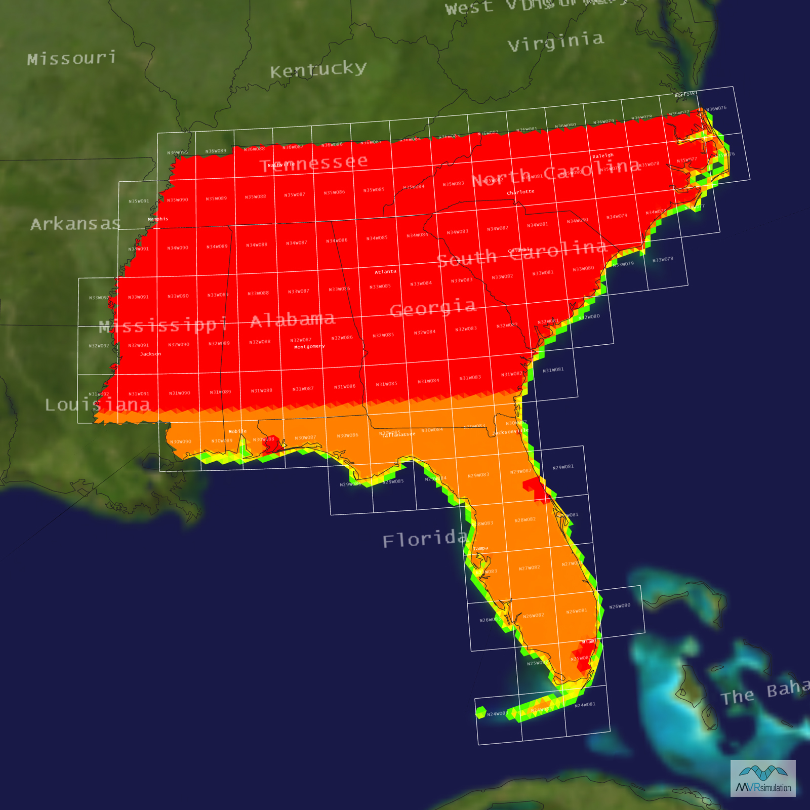
- Terrain Drive: CONUS Southeast
- Cultural Features: Building Interiors, Custom Models (Geospecific Buildings), Fences or Walls, Landscape Features (Shrubs, Grass, Paved Medians, etc.), Light Poles, Lighting for Non-Runway Areas (Streetlights), Trees, Urban Furniture (Benches, Trash Bins, etc), Utilities (Poles, Powerlines or Transmission Lines)
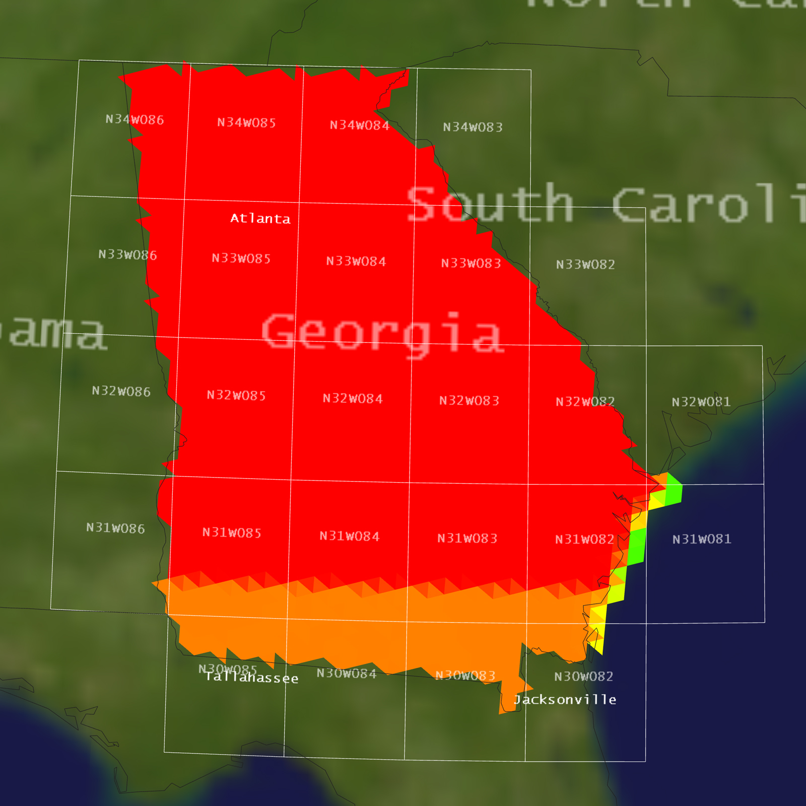
Tile Coverage Map
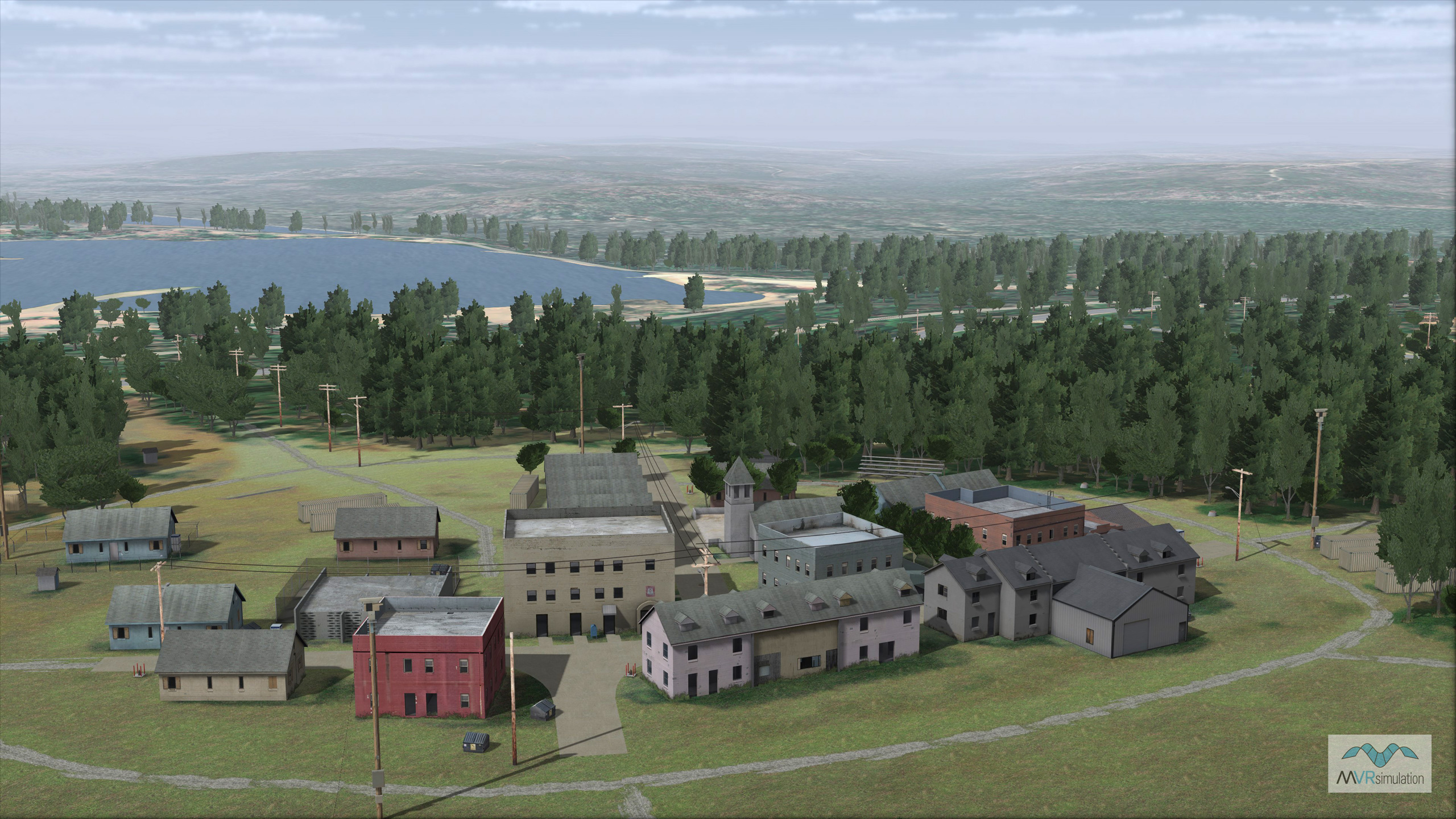
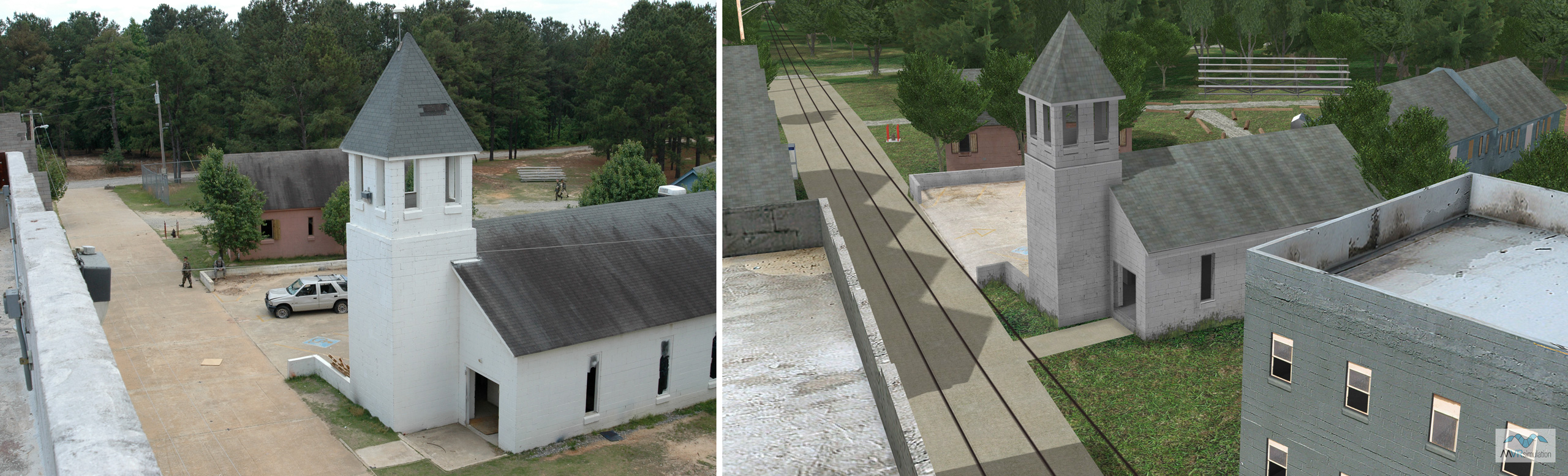
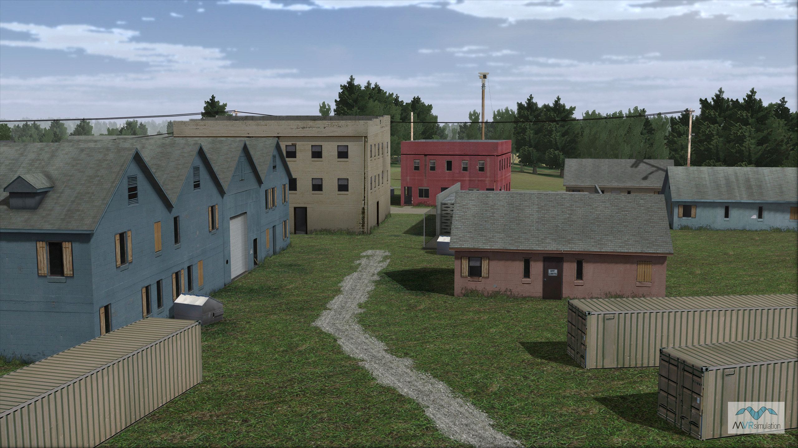
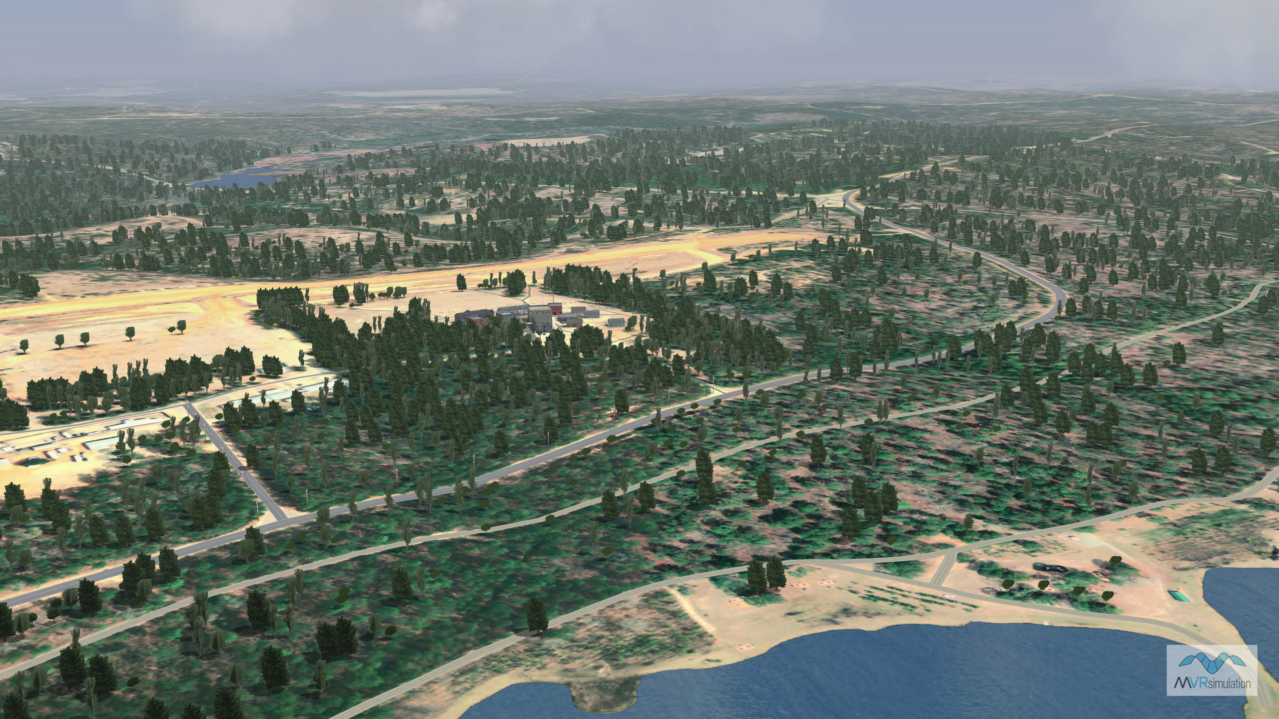
MVRsimulation VRSG aerial view of the environs around the virtual McKenna MOUT site at Fort Benning.
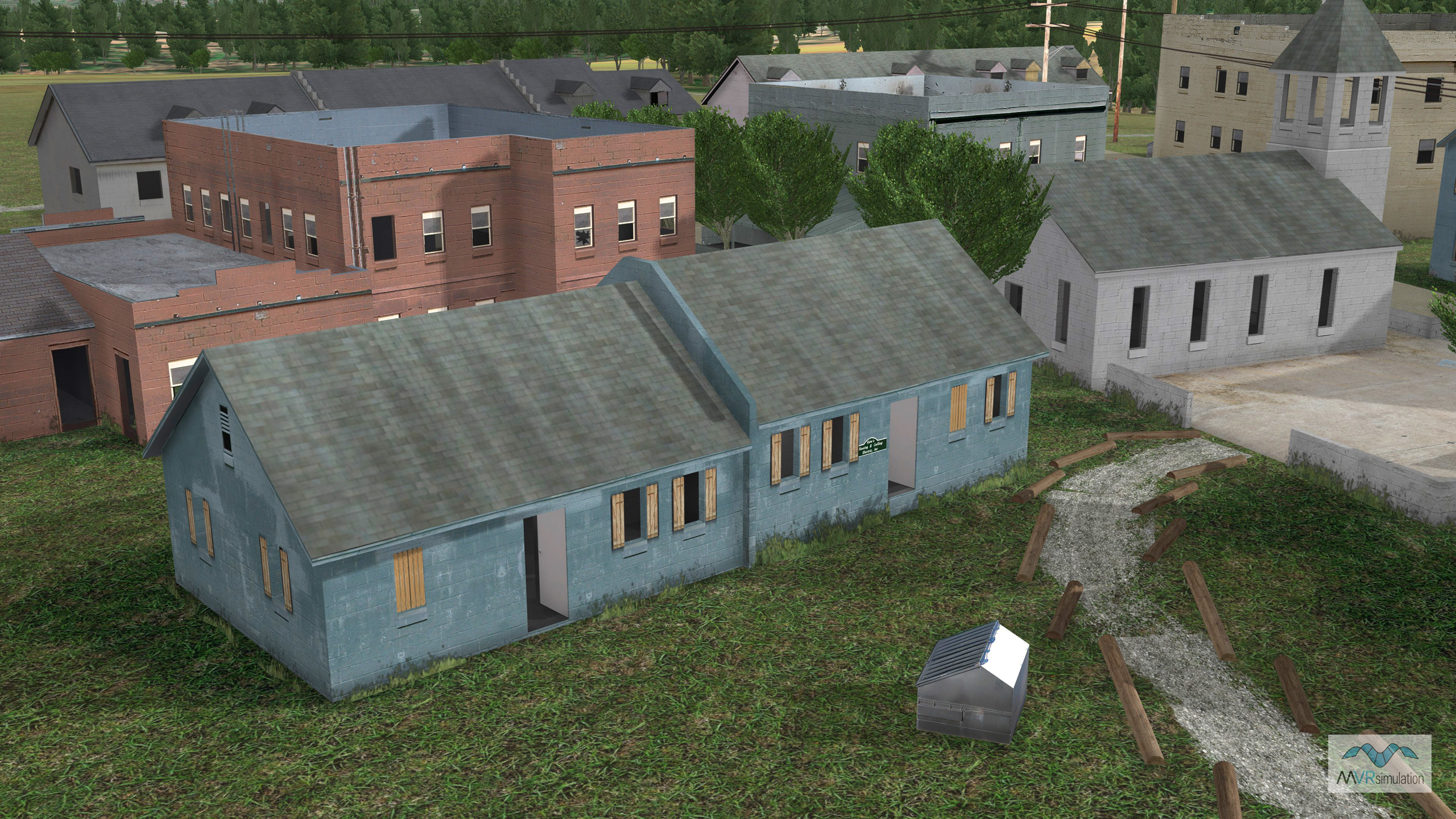
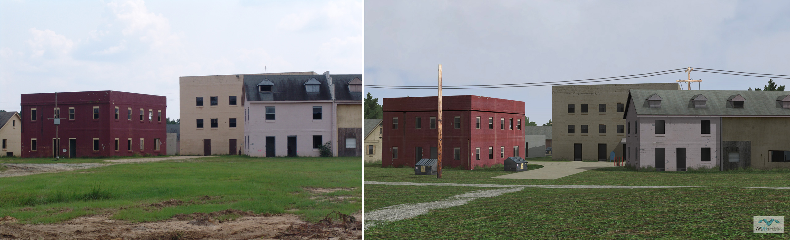
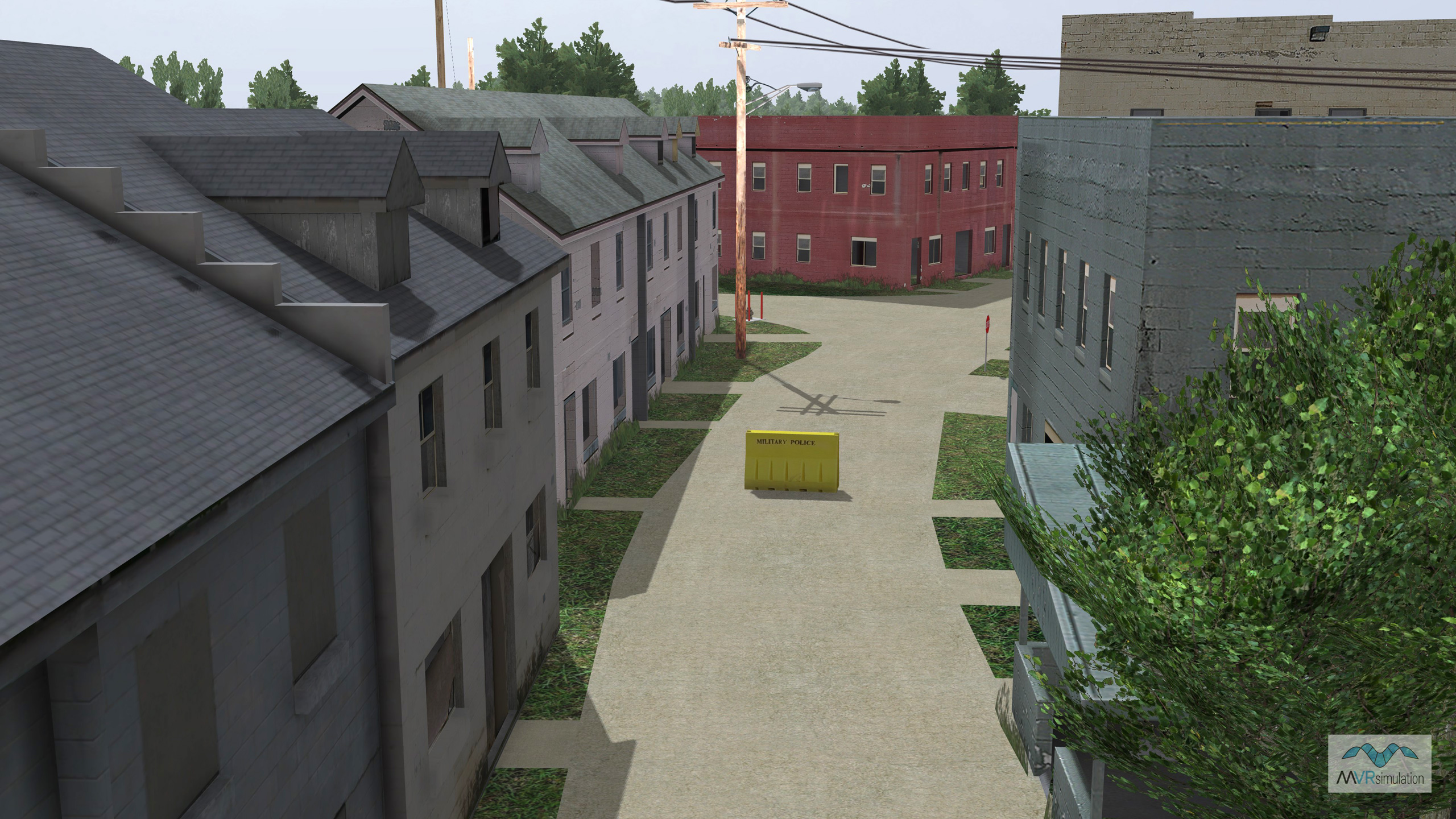
MVRsimulation VRSG real-time scene of virtual McKenna MOUT site at Fort Benning.
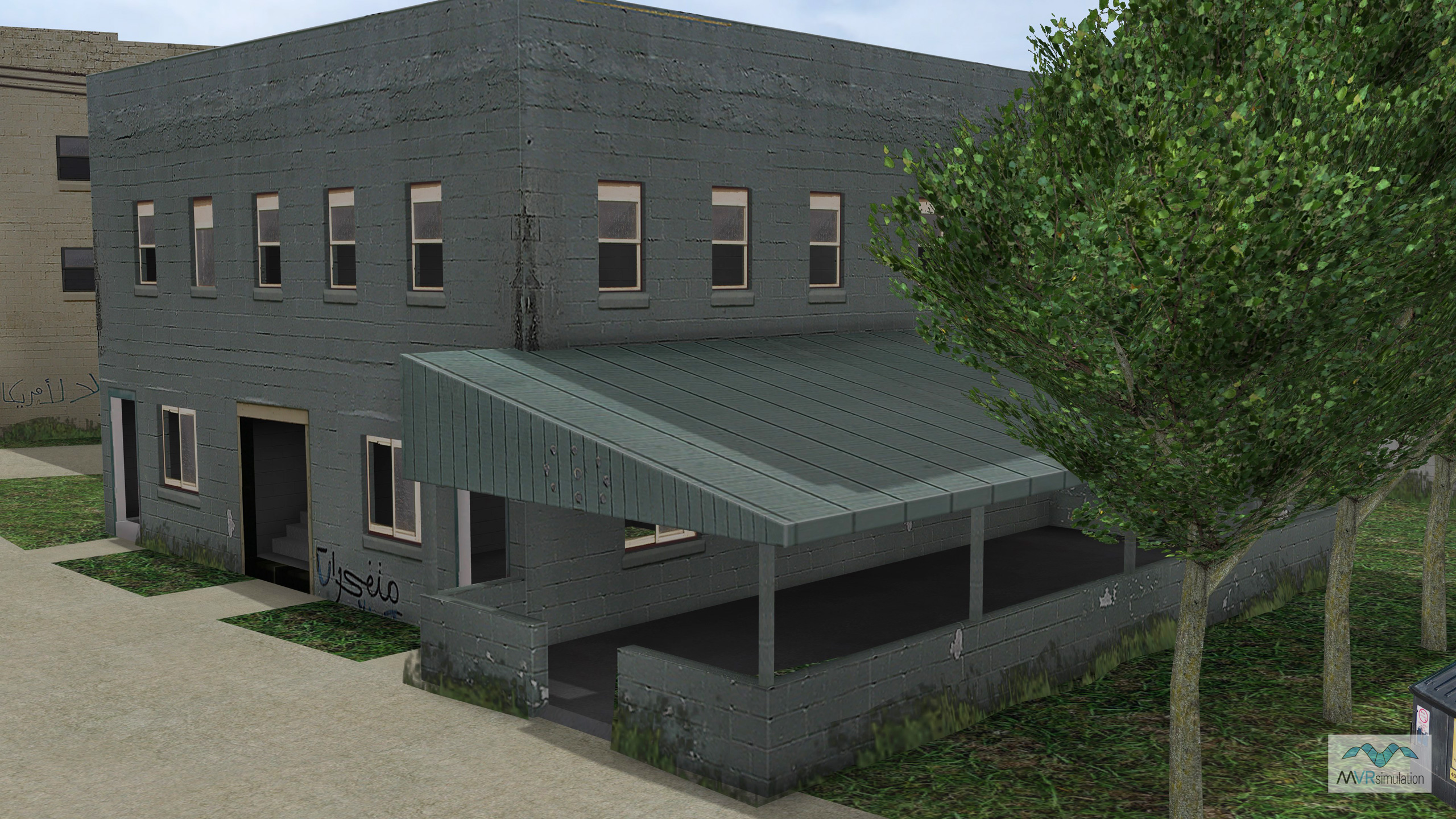
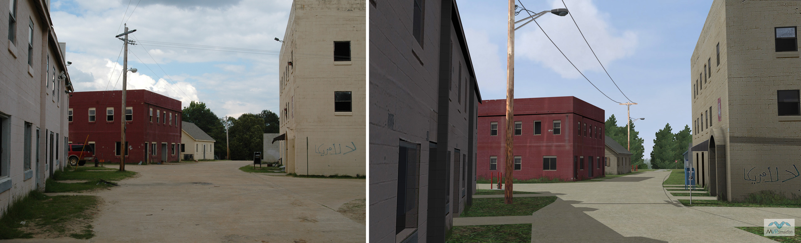
MVRsimulation VRSG real-time scene of virtual McKenna MOUT site at Fort Benning.
MVRsimulation VRSG real-time scene of virtual McKenna MOUT site at Fort Benning.
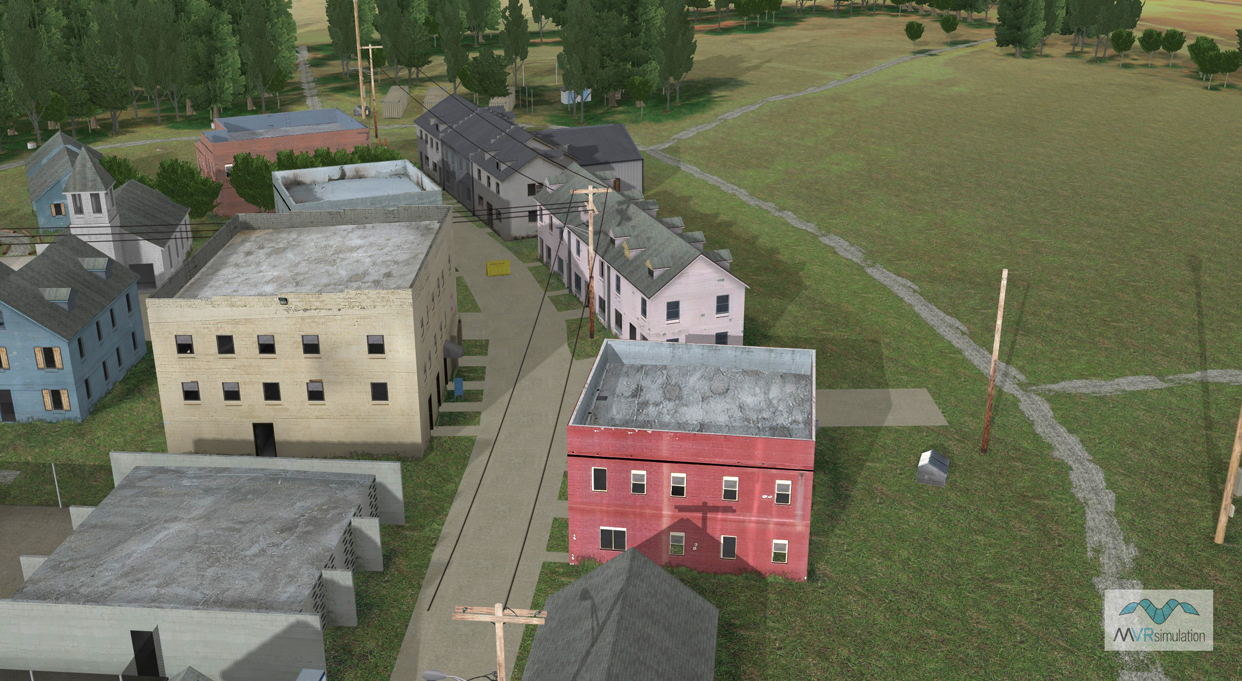
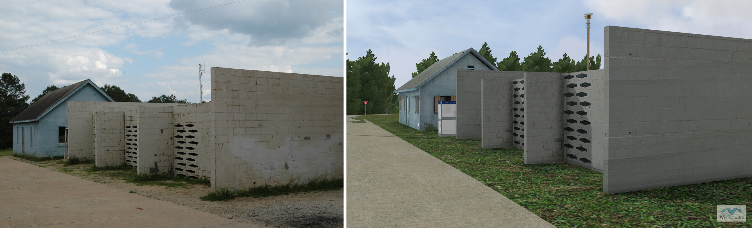
MVRsimulation VRSG real-time scene of virtual McKenna MOUT site at Fort Benning.
A 1:1 Virtual Counterpart for Urban Operations
MVRsimulation has constructed a geospecific, high-resolution virtual replica of the McKenna MOUT site, modeled after the actual urban operations training center at Fort Benning, GA. This virtual environment serves as a high-fidelity counterpart to the physical facility and is used directly in the live training of soldiers. The site supports live, virtual, and constructive experimentation on soldier systems, weapons, and equipment by providing an accurate virtual space that mirrors the real world.
Achieving a precise one-to-one correlation with the physical site was critical for visualizing real-time positional data from instrumented soldiers during exercises. To accomplish this, the virtual terrain was built with 0.30-meter high-resolution imagery and refined using on-site GIS survey data for accurate feature placement. These survey points were used as guides within the simulation environment to precisely adjust the placement of cultural elements like buildings and roads. The resulting database represents the true real-world coordinates of these elements to within a 0.1-meter tolerance.
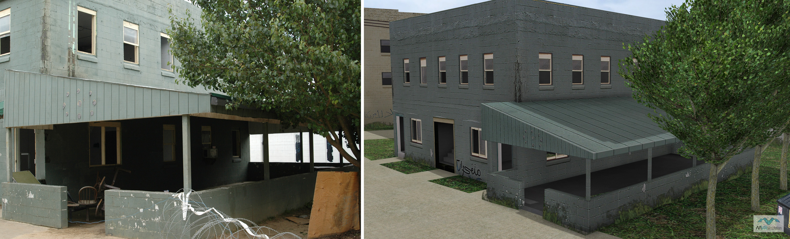
The visual realism of the virtual site was enhanced to match its real-world counterpart. Building models were improved with enhanced interior geometry, and photospecific textures were applied based on digital photographs taken at the McKenna site. These photorealistic building models also have radiosity applied to create soft, realistic shadows, further increasing their realism. All buildings and vegetation were carefully geo-located on the terrain to match the high-resolution imagery, ensuring soldiers encounter the same visual cues in the simulation as they would at the physical location.
Photos of the McKenna MOUT site
VRSG screen captures of the same scene