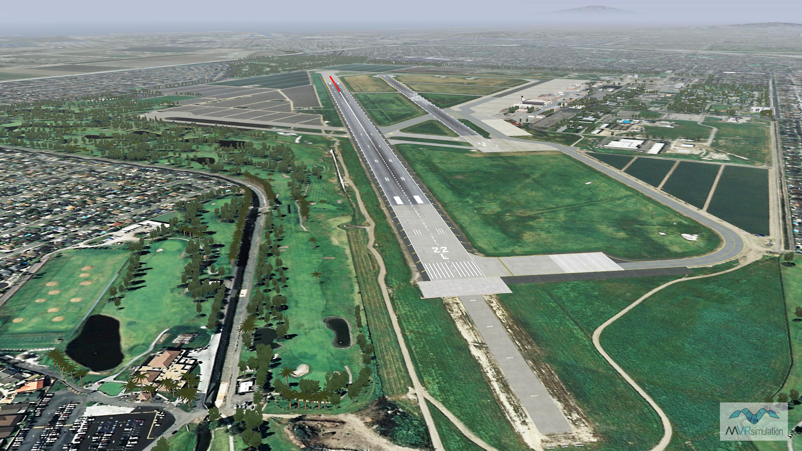
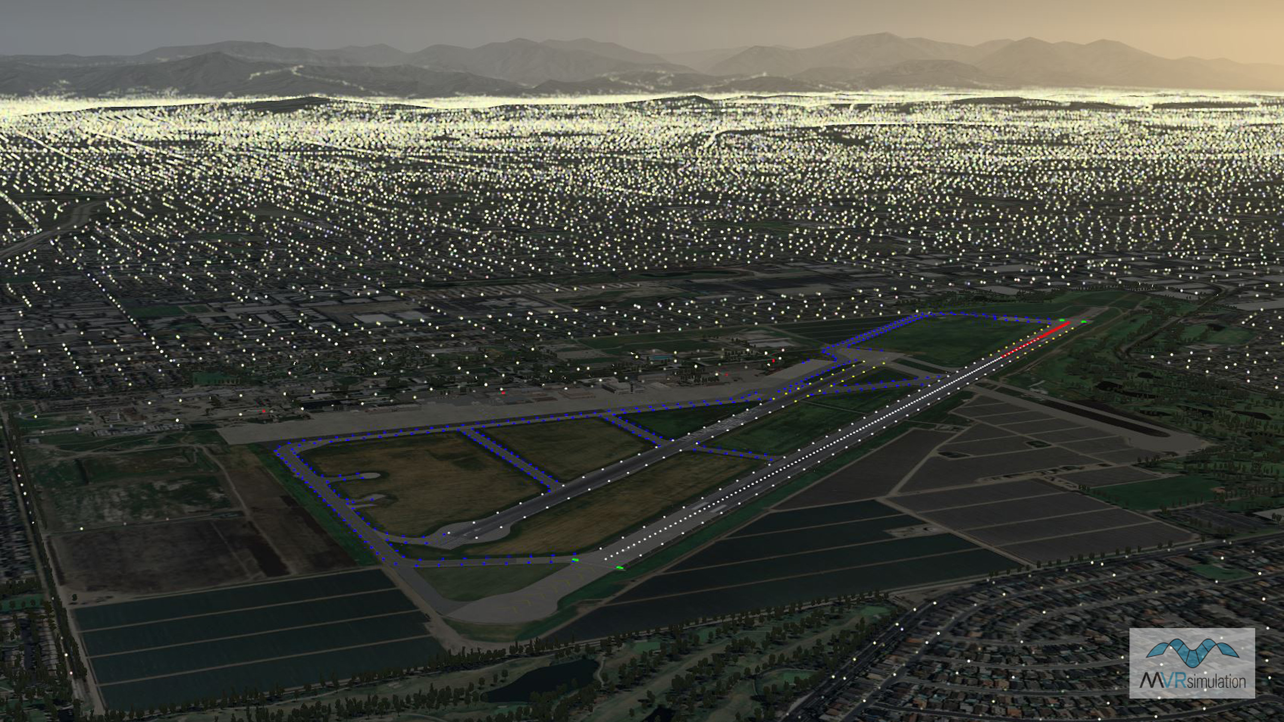
Los Alamitos Army Airfield (KSLI) Terrain Database Information
- Imagery: 30cm
- Elevation: Interpolated NED 1/3 (10mpp), DTED 1, and custom elevation at Los Alamitos Army Airfield to match FAA airfield elevations with at least 95% accuracy
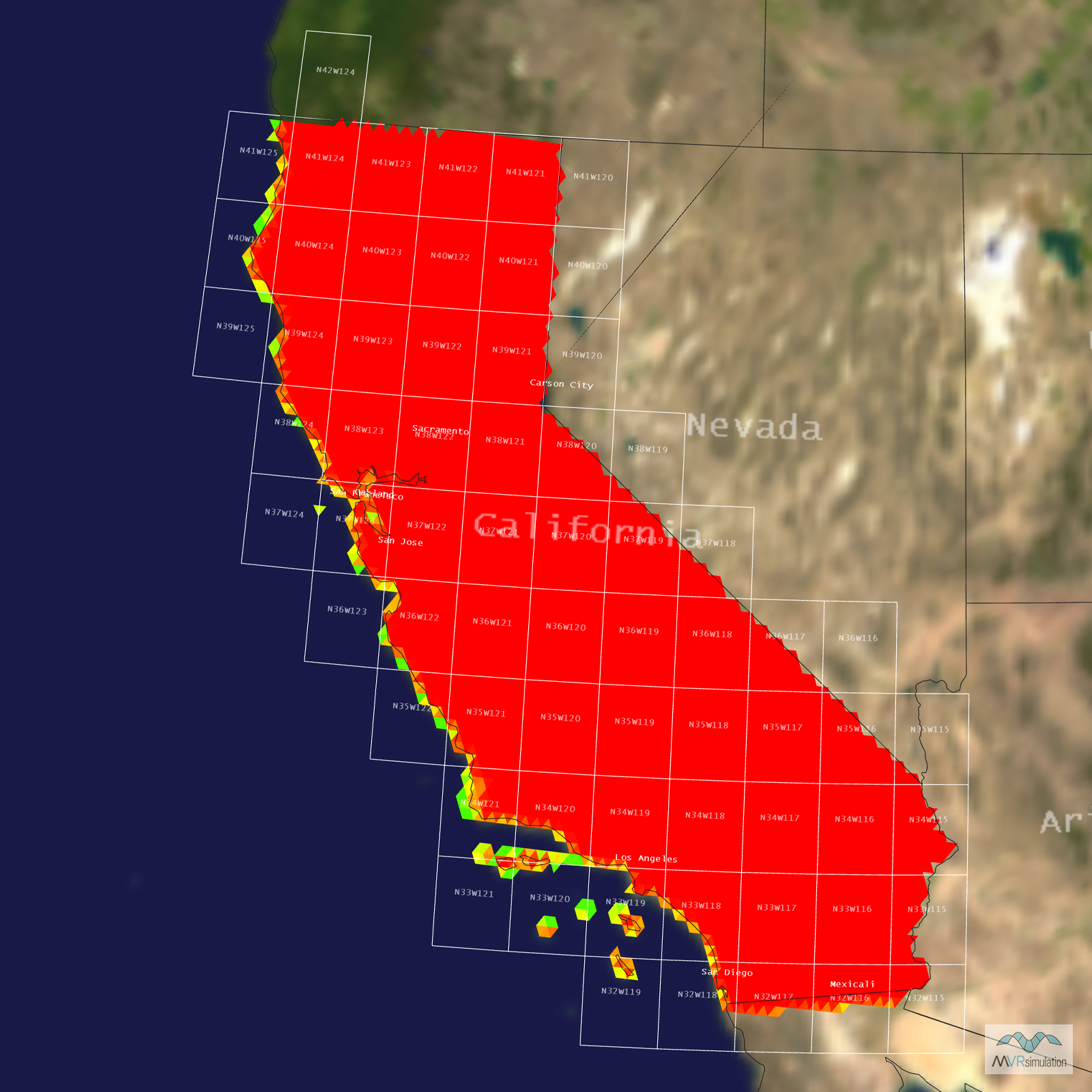
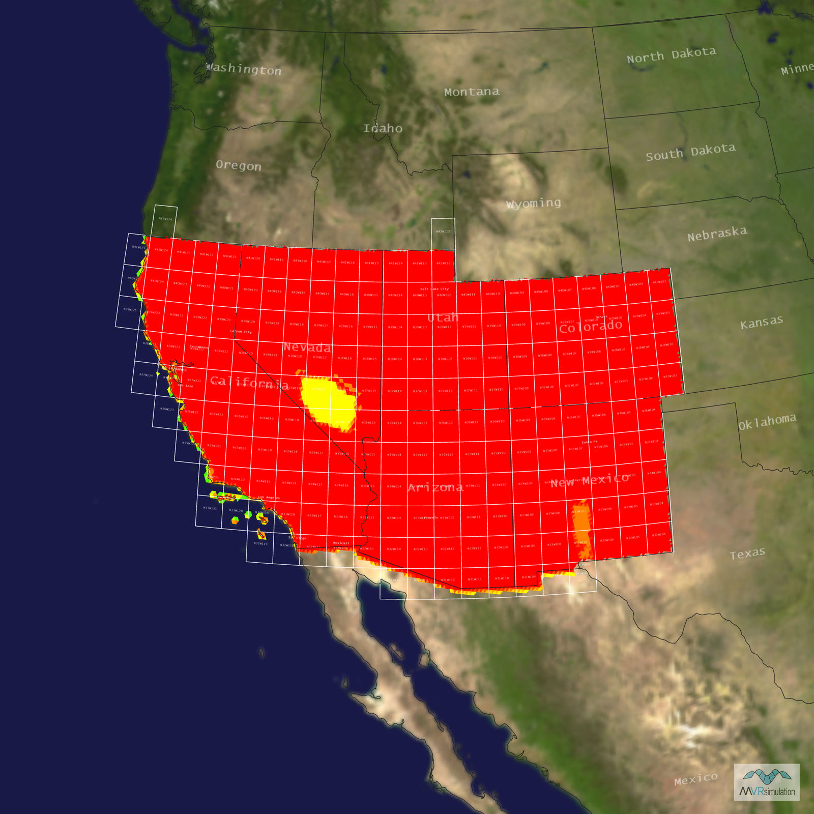
- Terrain Drive: CONUS Southwest
- Includes geospecifc models for the Joint Forces Training Base in Orange County, California.
- Cultural Features: Control Tower, Custom Models (Geospecific Buildings), Hangars, Landscape Features (Shrubs, Grass, Paved Medians, etc.), Lighting for Non-Runway Areas (Streetlights), Runway, Runway Lights, Trees