MVRsimulation News Issue 69
NEW: At I/ITSEC 2024 MVRsimulation launches a new First Person View (FPV) UAV Simulator
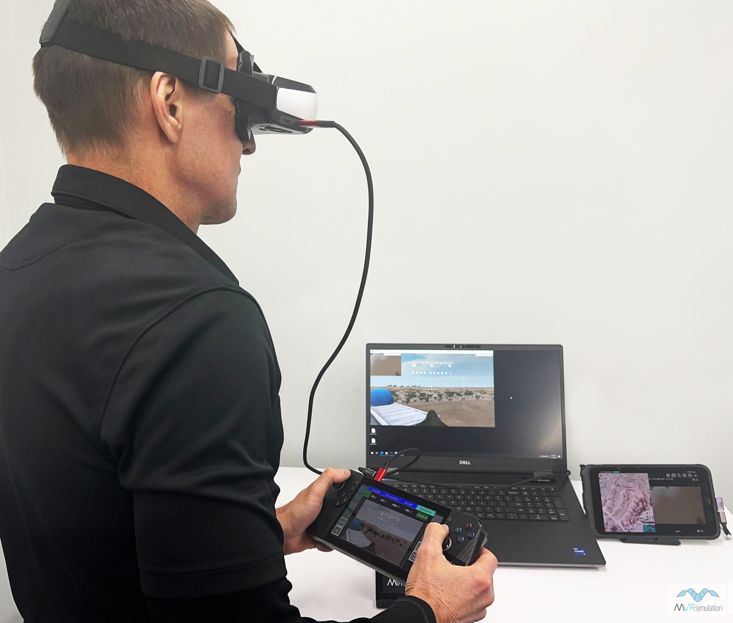
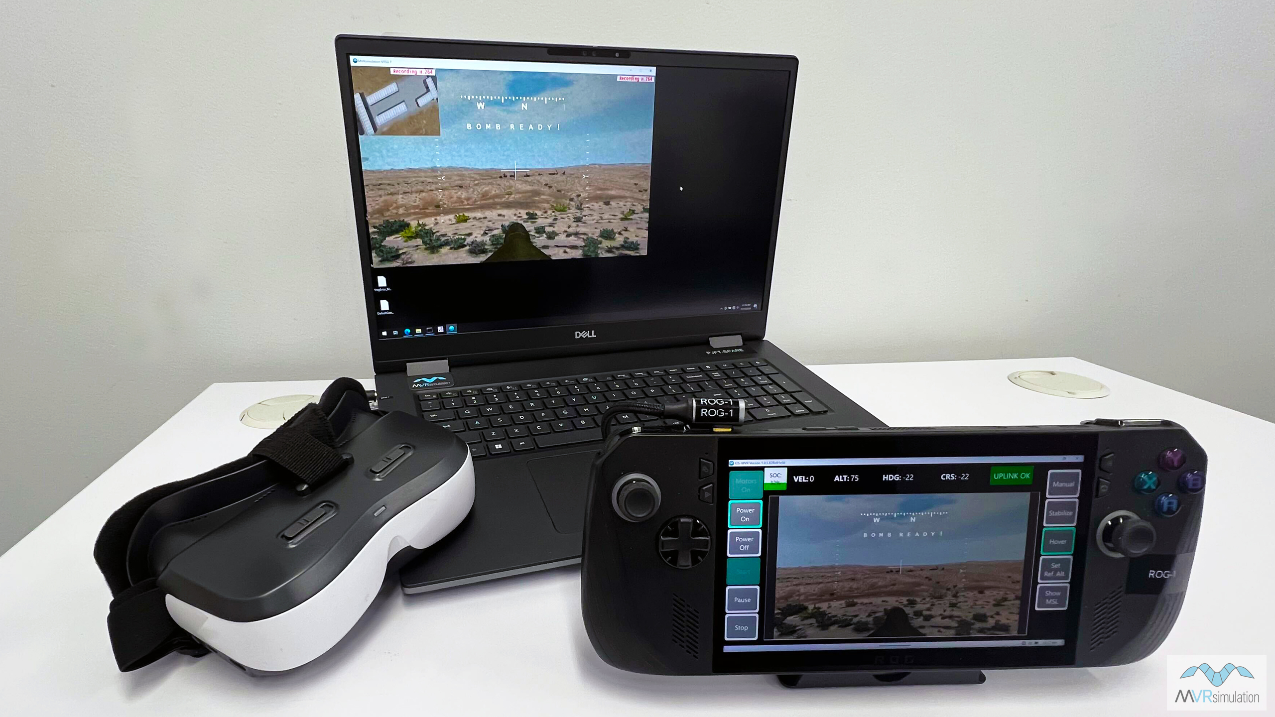
Visit booth #727 at I/ITSEC 2024 to experience MVRsimulation’s brand new FPV UAV Simulator, designed to provide a highly-realistic training solution for the operation of racing-style quadcopter attack drones on the contested battlefield.
This internally-developed simulator combines MVRsimulation’s VRSG with a high-fidelity flight model from Bihrle Applied Research, to replicate the tactile, visual and cognitive demands of operating agile UAVs in combat to successfully defeat enemy targets.
The FPV UAV Simulator can be used as an ultra-low footprint stand-alone training device for tactical operations, or networked with other fielded air and ground simulators that operate on the VRSG infrastructure, enabling Large Scale Combat Operations (LSCO) training exercises.
The highly-portable simulator consists of a high-end gaming notebook running VRSG, an ROG handheld controller device with configurable integrated pilot controls, FPV goggles, and an ATAK/SWAK ready Samsung S23 Tactical Edition end user device (EUD).
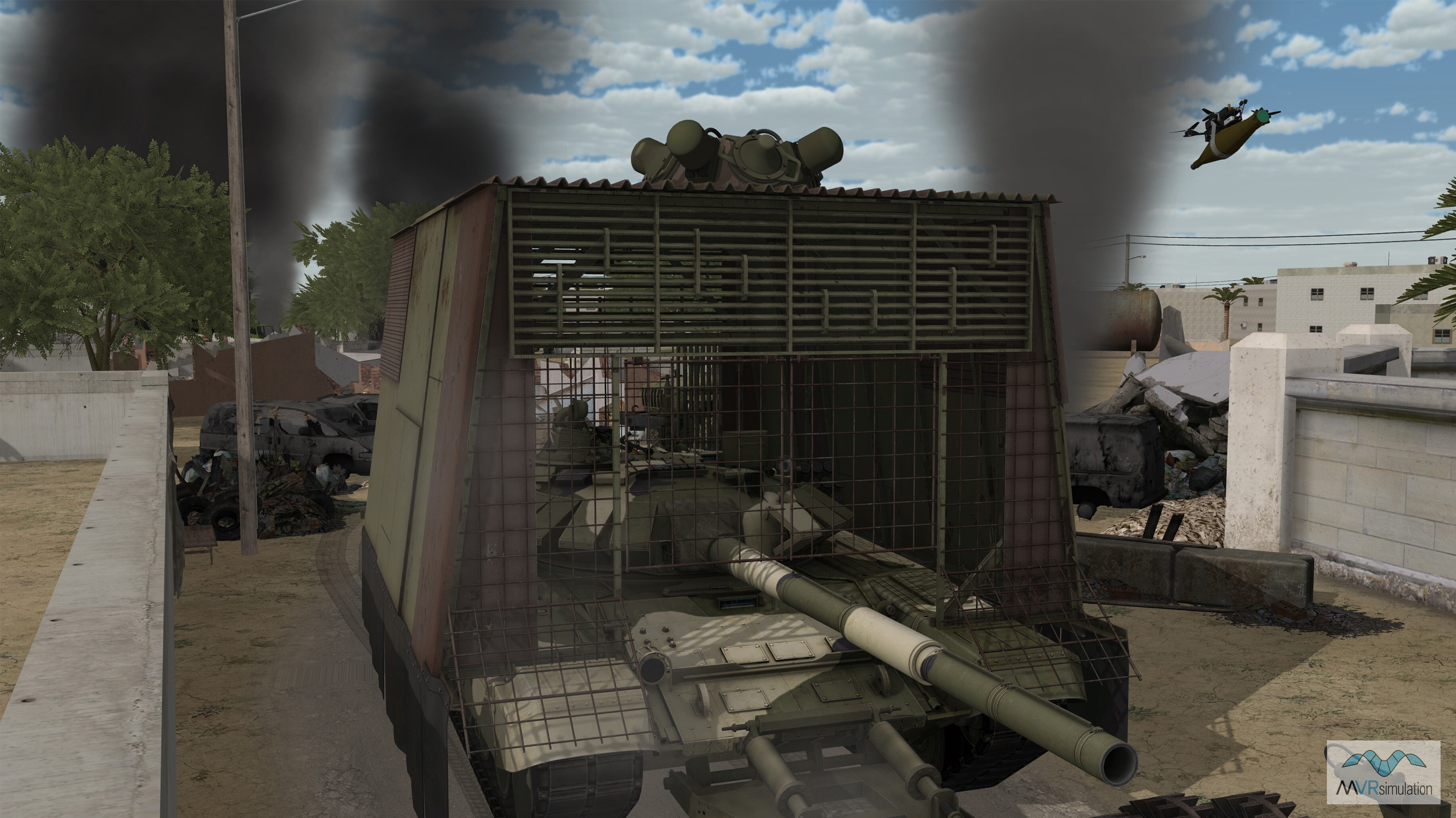
At I/ITSEC the FPV UAV Simulator will be running demonstrations in VRSG's high-resolution virtual terrain of the U.S. Army's Yuma Proving Ground. This terrain, built from 2cm per-pixel imagery, allows users to train to navigate using visual landmarks in virtual terrain that very closely matches the real-world location. Populated with military platforms from VRSG's 3D real-time model library, the scenario will enable users to practice locating, identifying, prioritizing and engaging targets that are currently deployed in real-world conflicts.
Users will also be able to experience the FPV UAV Simulator integrated with ATAK for increased battlefield situational awareness; and see how the simulated VRSG feed can be visually degraded, such as increased latency, frame drop outs, degraded view with static, to replicate the reality of operating drones in EW contested environments.
To reserve a time for your team to experience the FPV UAV Simulator, please email us at sales@mvrsimulation.com. For those not attending I/ITSEC, we can also run virtual demonstrations online, or bring our kit to your site for the day - just email us at demos@mvrsimulation.com and the team will be in touch to arrange a time.
For more information you can also read a new technical report published by Shephard Media: Supporting transformational battlefield CONOPS: FPV UAV Simulator training - an in-depth look at our new FPV UAV Simulator, our partnership with Bihrle Applied Research, and a dive into the emerging battlefield requirements driving our development.
Experience our technologies at I/ITSEC
Along with the new FPV UAV Simulator, our full range of mixed-reality simulators will be running demonstrations throughout I/ITSEC 2024, with all scenarios taking place in our high-resolution VRSG terrain.
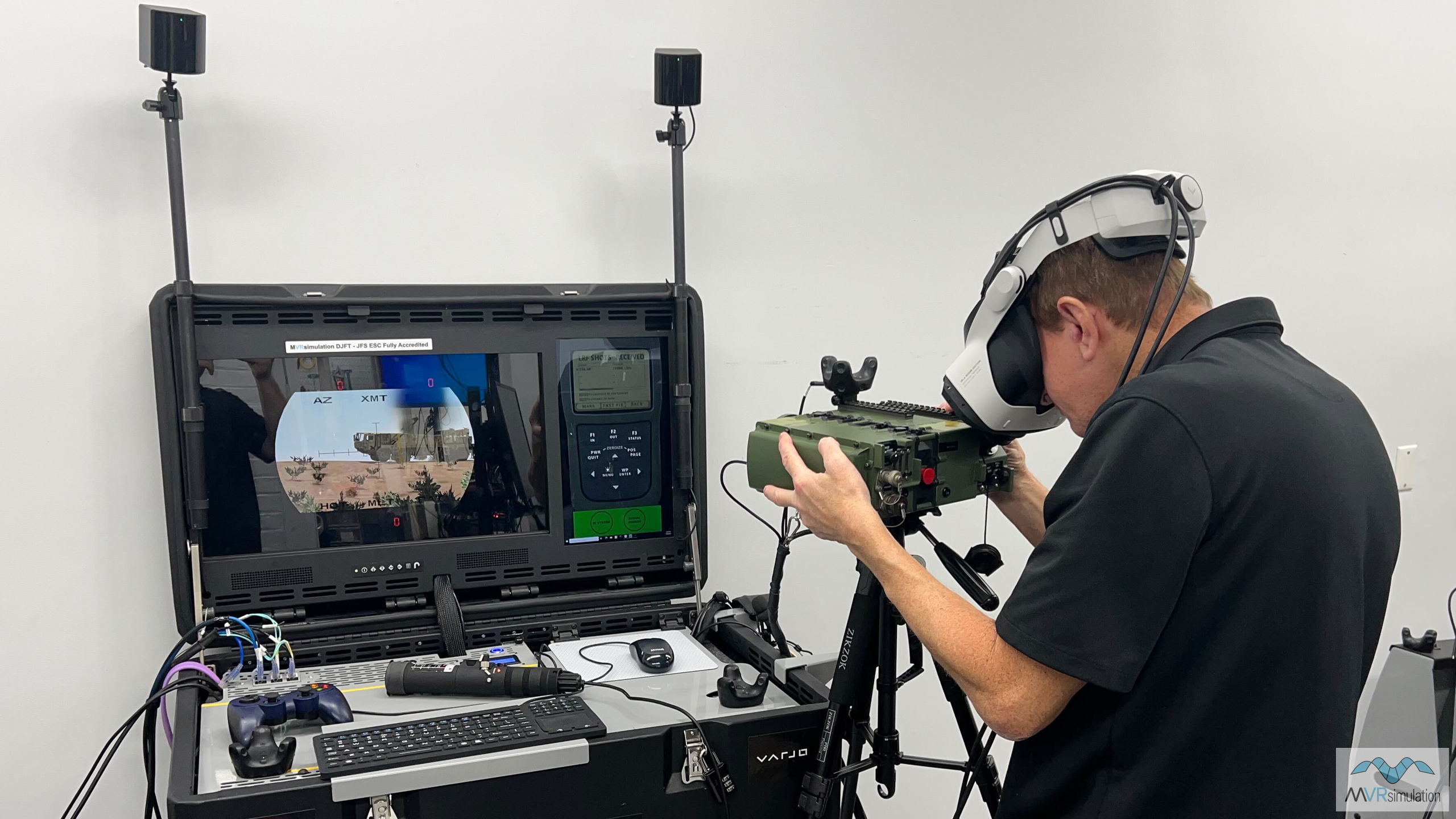
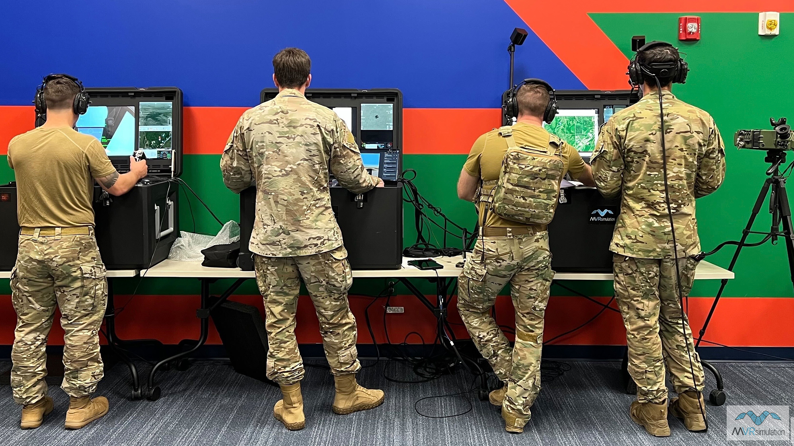
Deployable Joint Fires Trainer (DJFT): Fully accredited and fielded with U.S. military forces, the DJFT is our Joint Fires training flagship simulator product. We will be running the full three-component (Observer, Instructor Operator and Role Player) simulator, giving visitors the opportunity to conduct mixed-reality JTAC training scenarios in high-resolution 3D terrain. The simulator contains all software and equipment required to run full-spectrum missions, including VRSG, MACE, Varjo HMD, real-world EUD ready for ATAK/WinTAK integration for Link 16 and VMF digitally aided CAS (DACAS), emulated Type 163 and IZLID, and simulated radios and DAGR
Portable Joint Fires Trainer (PJFT): Our newest JTAC training simulator will be running full spectrum Joint Fires training missions, networked with the fully-accredited Deployable Joint Fires Trainer (DJFT). Together, this expanded JTAC training ecosystem allows users to train for Joint Fires/Close Air Support missions from the classroom to the tactical edge. Designed to be easily transportable in two backpacks that can be carried-on as hand luggage and stored in the overhead bin on commercial flights, the PJFT allows users to train in forward locations using real-world ATAK EUDs.
Fixed-Wing Part Task Mission Trainer (PTMT): Practice stand-alone mission tactics and coordination, or network-in to Close Air Support training missions running on the DJFT as an additional Role Player. Or simply take a flight over some of VRSG's most beautiful and high-resolution terrain including Japan and Southwest USA CONUS NAIP.
Mixed Reality Sand Table: Experience the power of seeing the entire simulated battlefield for classroom-based mixed-reality tactics training, mission planning and After Action Review. Plan missions in highly-accurate 3D terrain, observe training missions as they unfold live in the DJFT, PJFT, PTMT and FPV UAV simulators, then review and enhance learning opportunities for trainees in group settings.
VRSG, Terrain Tools, Scenario Editor: Our terrain team will be on-hand to demonstrate round-earth VRSG terrain architecture, including the newest additions to our database of high-resolution urban insets: get a taster with this video of our virtual U.S. Army Yuma Proving Ground terrain. We will also be showcasing our latest version of Terrain Tools and newly-updated Scenario Editor.
To arrange a time to experience any of our simulator systems or software please email us at sales@mvrsimulation.com.
Recent sales
A round-up of some recent sales of our simulator hardware systems, and VRSG licenses and renewals.
U.S. Air Force MJAT program
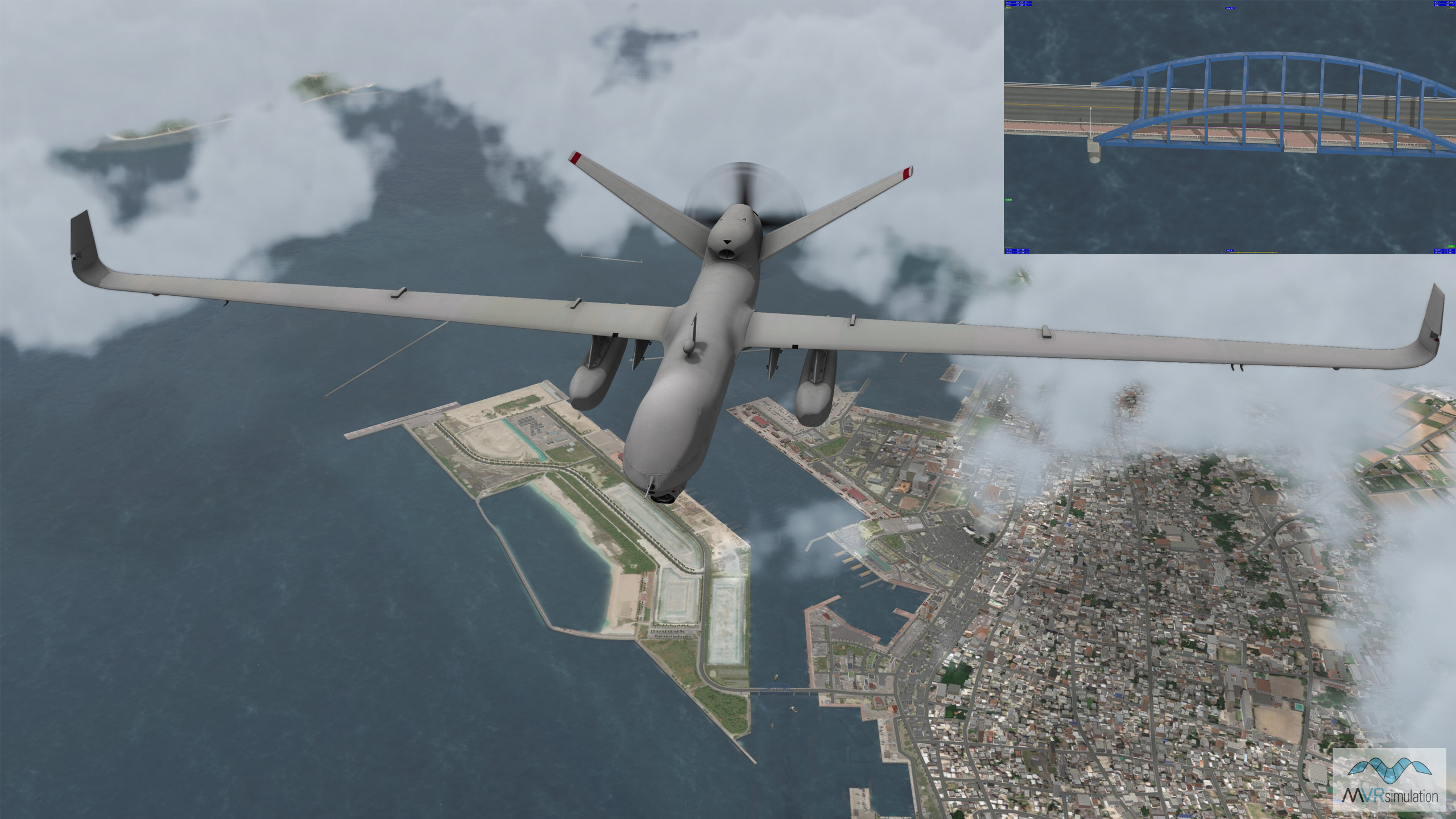
We continue to support the USAF's MQ-9 MJAT program with 700+ licenses in use, with new and sustainment licenses added in 2024.
New customer for DJFT
Two full DJFT systems have been delivered to a new government customer in support of JTAC/Joint Fires training efforts in the Far East.
Dutch Advanced Stinger Trainer
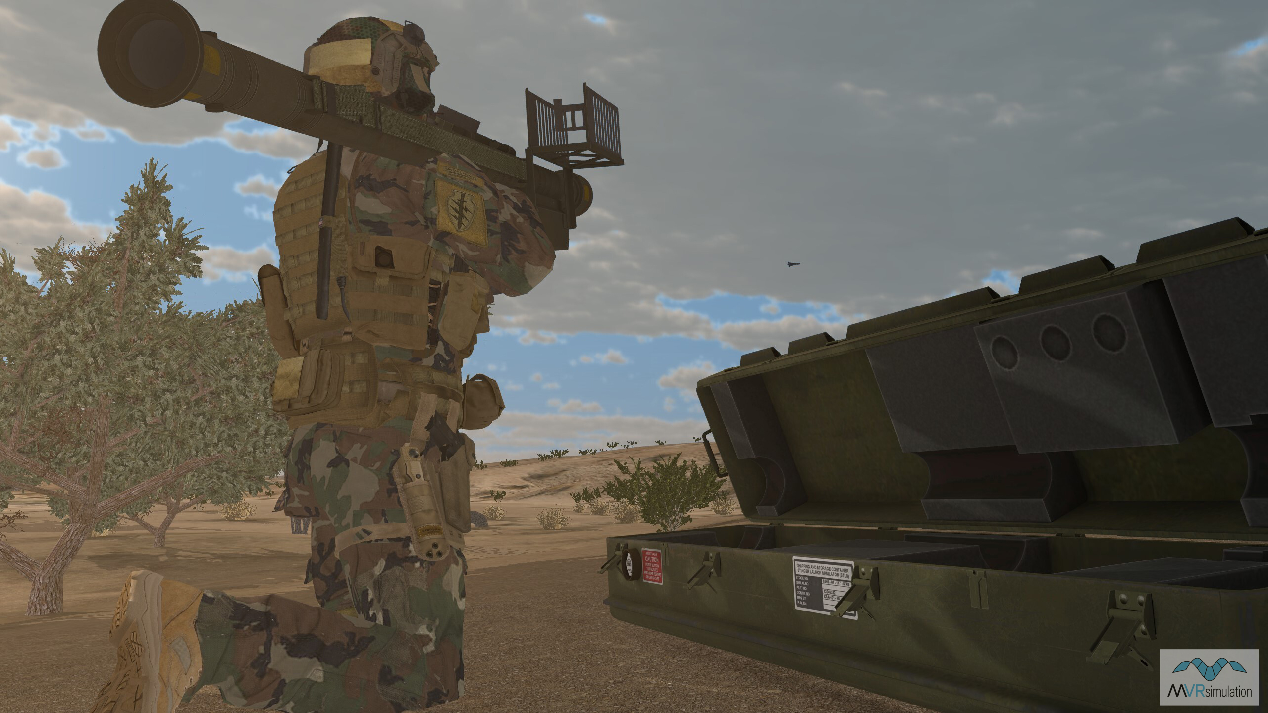
41 VRSG licenses have been ordered in support of the Advanced Stinger Missile Trainer for the Netherlands Ministry of Defense.
New VRSG terrain
The VRSG 3D terrain library continues to grow in support of our customers' evolving training requirements: we focus our efforts on delivering terrain that is topical, timely, and accurate.
Effective training is enabled by the ability to conduct scenarios in virtual terrain that very closely represents real-world locations in which current conflicts are unfolding; and regions that are of geopolitically strategic importance for our key customer groups including the U.S. military and its partners.
Don't forget: our 3D artists build new terrain and models continuously. This year alone we have added high-resolution 3D terrain of the Washington DC metro area; Ishigaki and Miyako Islands in Okinawa Prefecture, Japan; Holloman Air Force Base (KHMN) in New Mexico; Mayport Naval Station in Florida; and Tampa Bay, Florida.
As they are added to the VRSG library, new terrains can be downloaded and used at no charge by users on active software maintenance. Please get in touch with our team if you would like to discuss your terrain requirements - just send us an email at terrain@mvrsimulation.com.
Washington D.C. metro area
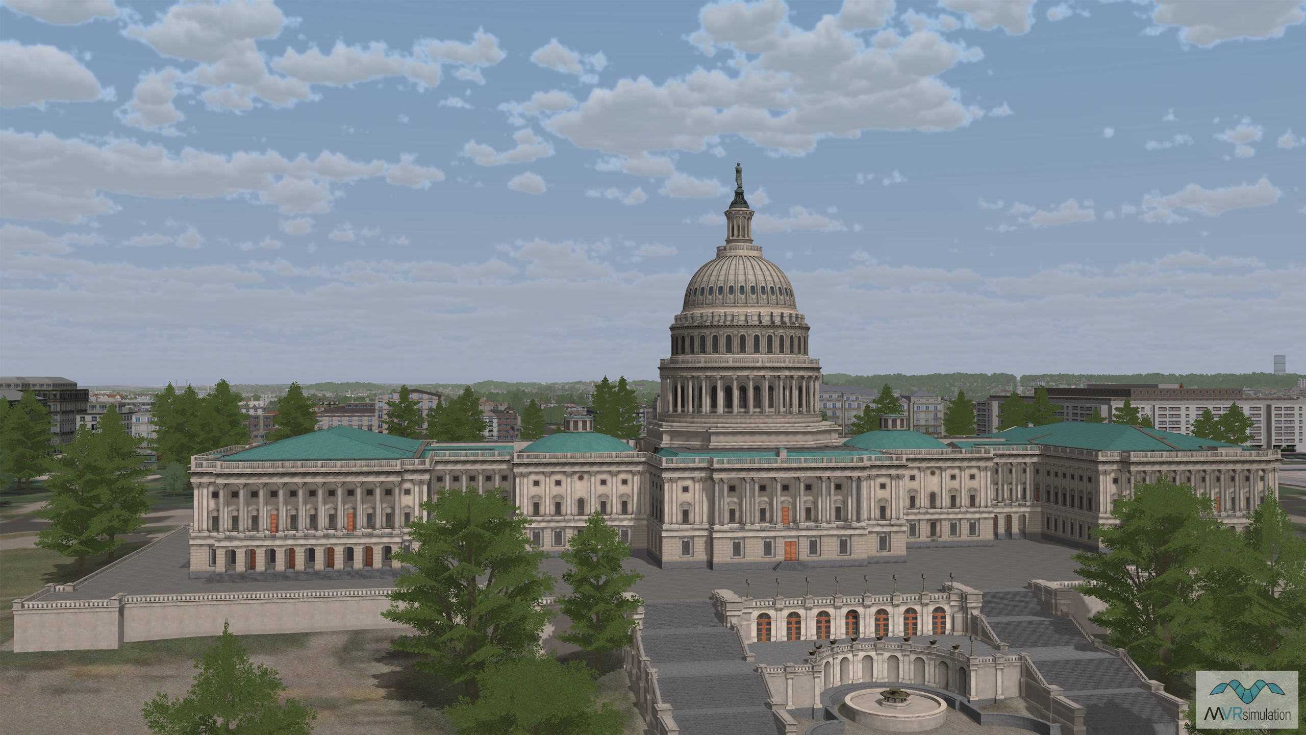
Built using 1-meter NAIP imagery and 10-meter elevation data, the Washington D.C. metro area inset features artist-rendered models of landmark buildings including the White House, the Capitol building, and the Lincoln Memorial.
Miyako, Japan
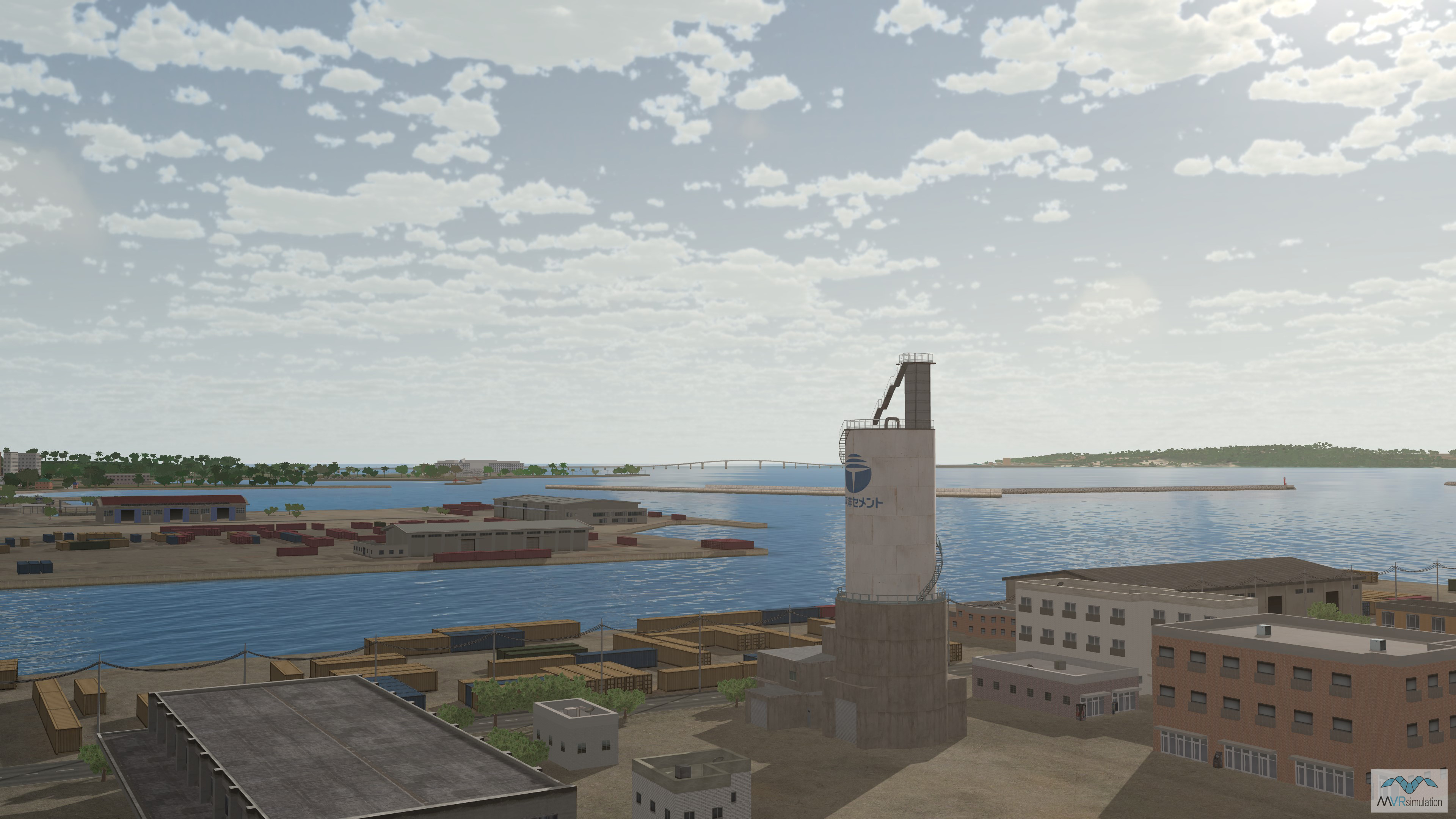
A 3D replica of the strategically important port area of Miyako Island, situated between Okinawa and Taiwan, has been added to VRSG's Japan terrain dataset. The dataset is built from 50cm imagery with 30m SRTM elevation data.
In Focus: VRSG's 3D model library
It has been a big year for the VRSG model library. At the end of the summer we reached a new milestone of 10,000 unique real-time 3D entities in the library - a figure that has already grown to more than 10,200.
VRSG’s 3D model library is a key differentiator for simulation-based training and is unique in the size of its collection of U.S. Air Force CAF DMO required entities - the largest in the industry. All VRSG users on active software maintenance get instant access to all new models as they are added to the database, including those requested by our customers and those built under our own internal model development program.
Our model artist team hand builds real-time models of topical and current air, land, sea and culture models that feature highly detailed geometry, multiple paint schemes (where applicable), articulated parts, damage states, and advanced animations such as moving wheels or tank tracks that turn at a rate coupled to vehicle velocity.
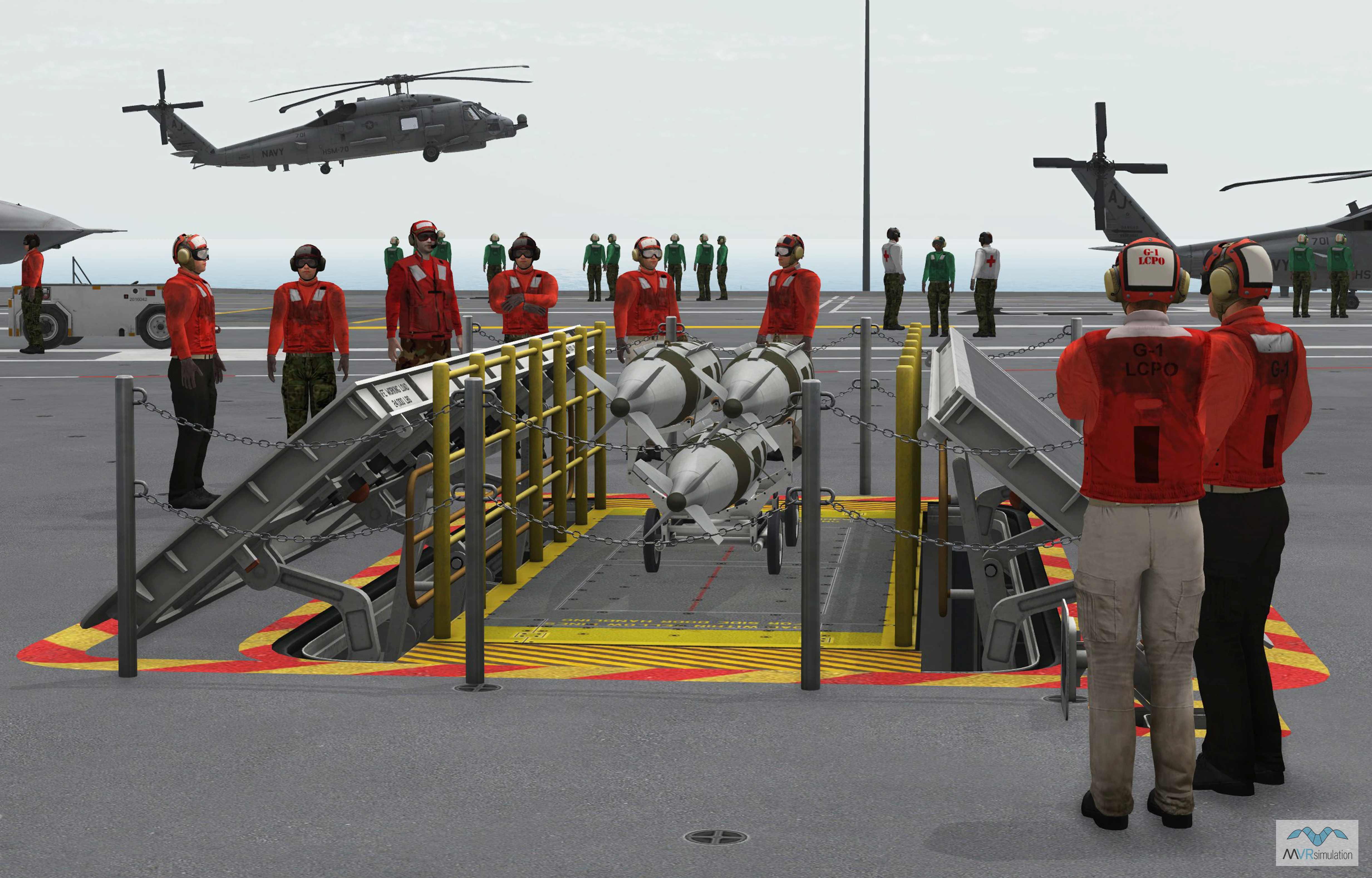
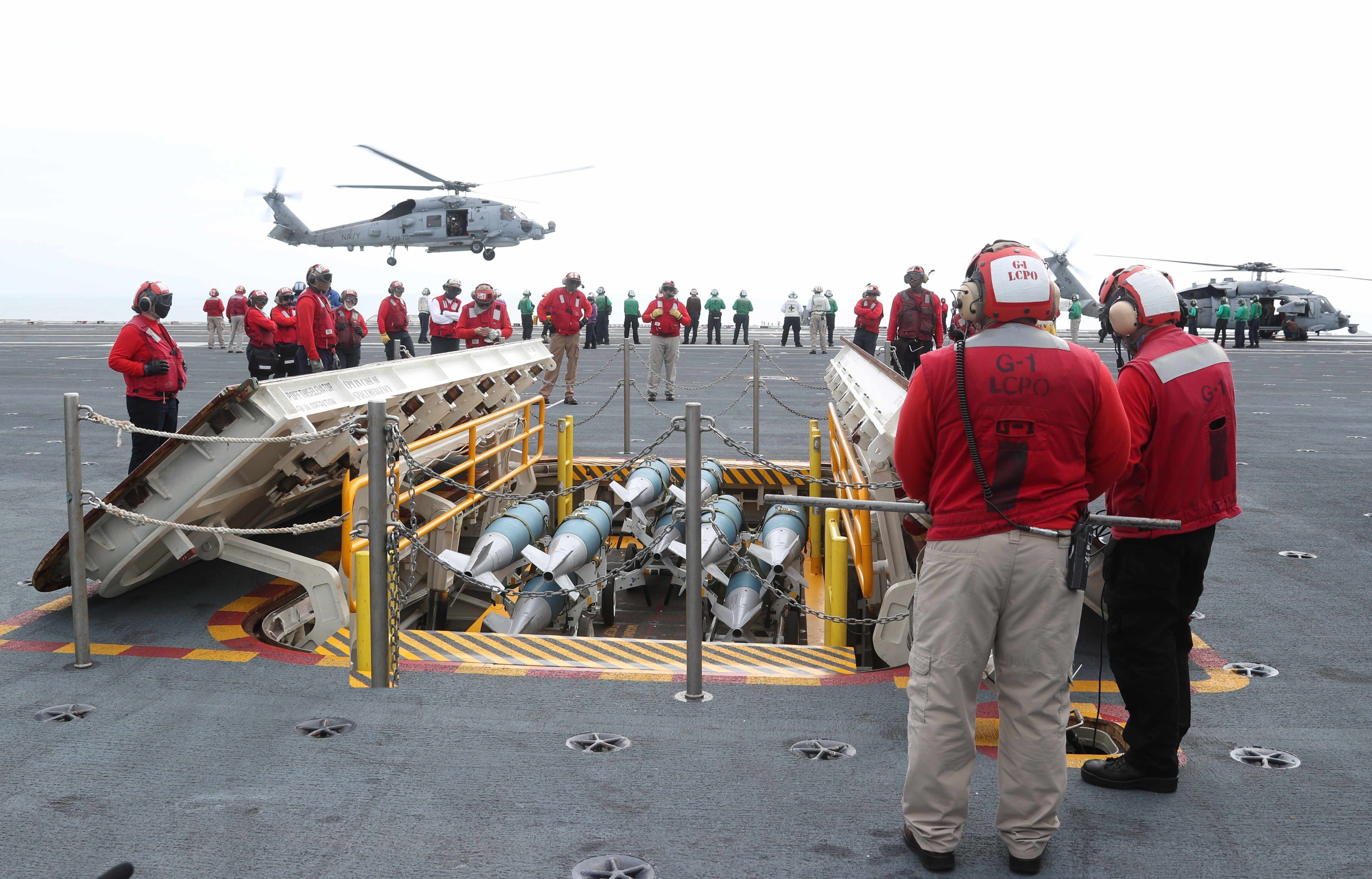
These models allow users to populate their training scenarios with real-time entities that very closely replicate specific real-life platforms so that they can extract maximum training effect in the simulated environment before undertaking real world operations. A notable addition to the library is the new CVN-78 carrier USS Gerald R. Ford complete with training-critical elements such as weapons elevator with cart, STT carrier deck tractor and other support vehicles. At I/ITSEC you can experience a VRSG scenario of the vessel underway with MQ-25 Stingray carrier-based aerial refueling drones, MH-60R Seahawk helicopters and E-2C Hawkeye Early Warning Aircraft onboard. Pictured in VRSG below, see detail of the carrier’s deck weapons elevator (left image), compared to a U.S. Navy photo of the real carrier’s deck below (right image / credit: Chief Mass Communication Specialist RJ Stratchko/U.S. Navy). These are the details and level of realism that truly elevate your virtual world-building.
Please complete a download account request form for assistance on accessing new or updated VRSG databases.
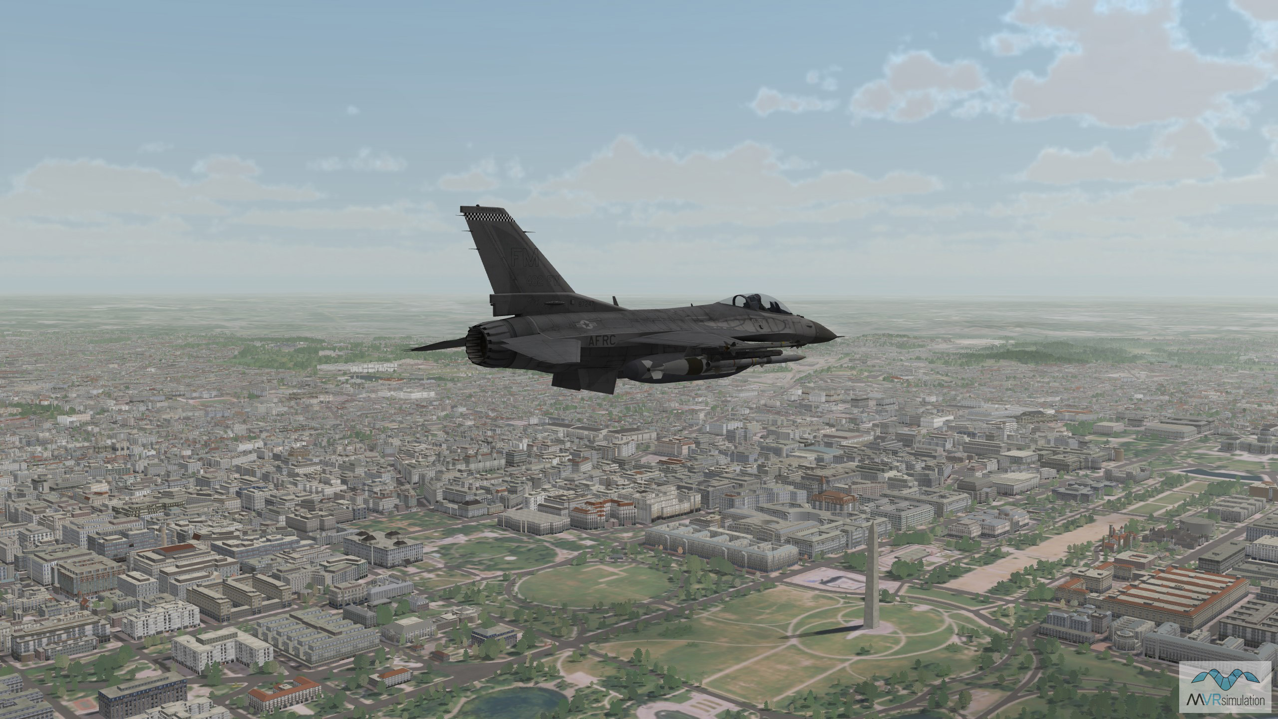
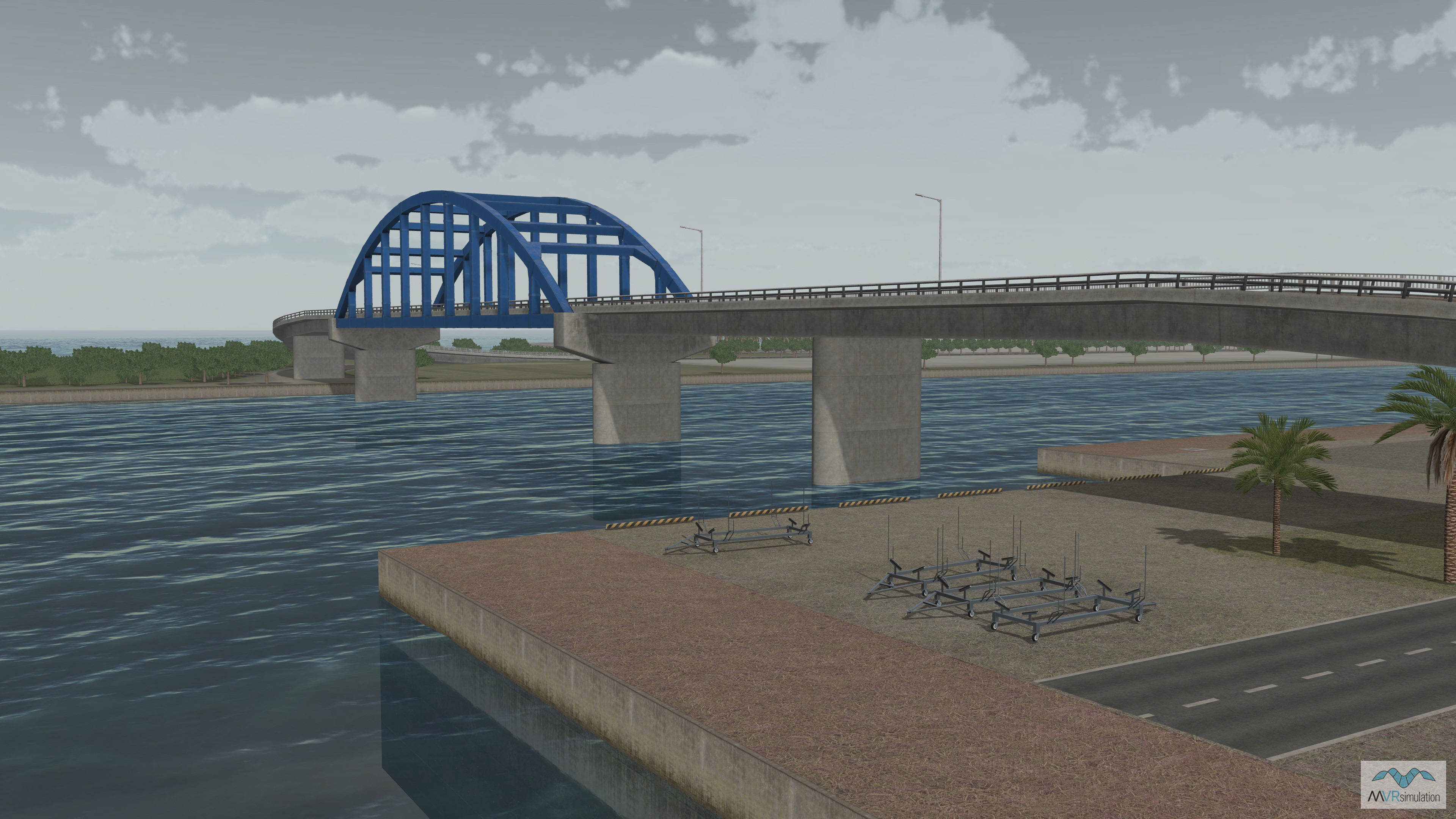
The model team also builds high-resolution replicas of significant landmark buildings and structures for our high-res urban datasets, which are then placed within the terrain to heighten realism for users, and aid navigational-based training scenarios. For our new Japan terrain, this includes geospecific buildings and unique landscape features such as the Southern Gate Bridge and Irabu Bridge in the strategically important Ports of Mikayo and Ishigaki. Likewise, our new dataset of the Washington D.C. metro area features some of the city's - and perhaps the world's - most recognizable landmarks, including the White House, the Capitol Building, and the Washington Monument, pictured below with an F-16C entity.
New LLM 3D model license
We have introduced licensing of our VRSG 3D model library to enable AI/Machine Learning training for Large Language Model (LLM) programs.
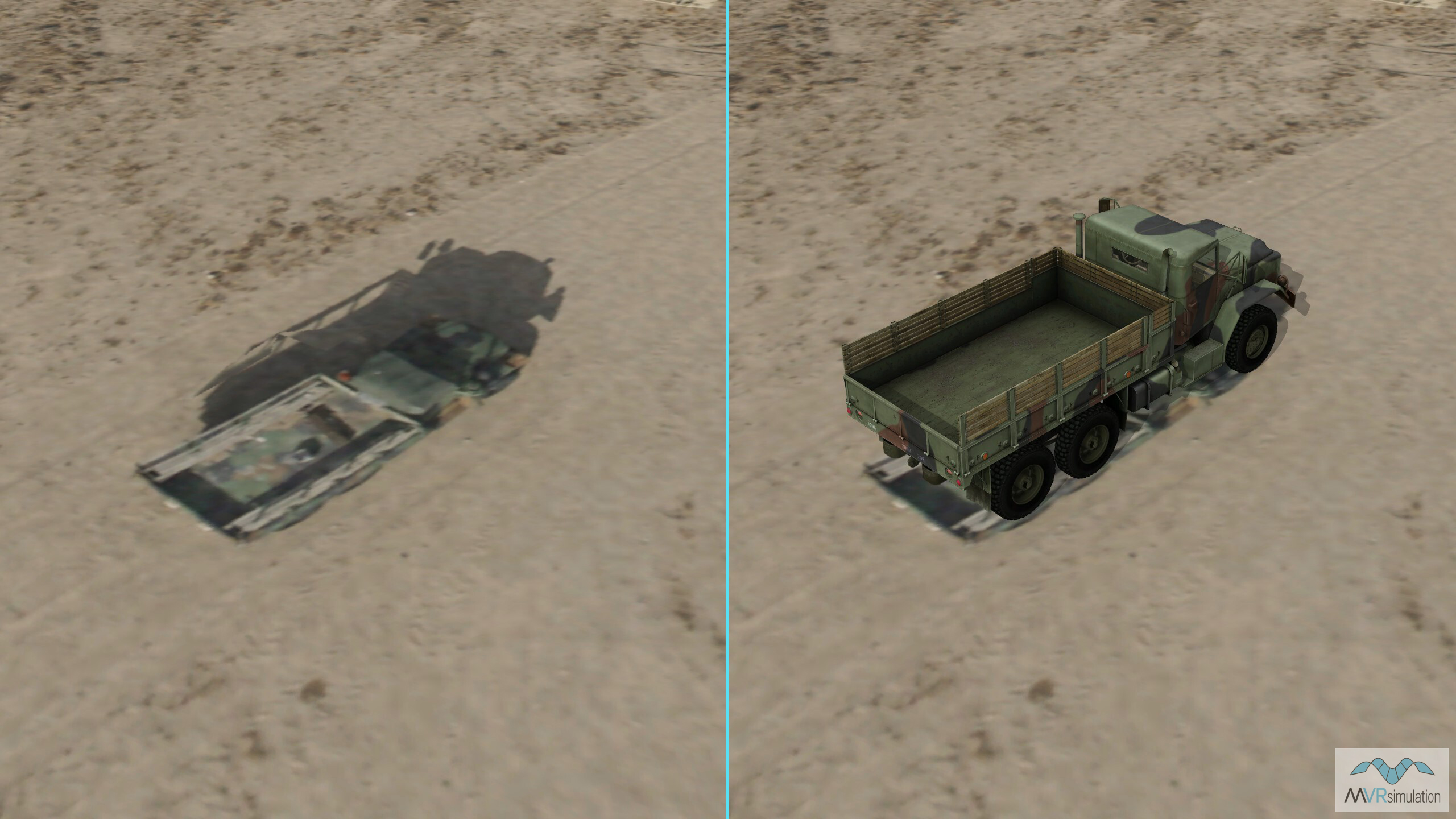
Under this new licensing mechanism, VRSG's 3D model library of visually accurate military platforms in high-resolution can now be exported into end user applications to train LLMs for ISR applications such as combat vehicle identification and target recognition. Users can create high-volume image datasets of platforms in many different terrain regions and environments, with various lighting and weather settings, to effectively train LLMs to accurately and reliably identify the platform from any given angle, which may be more effective than is possible using images captured by aerial assets.
See below, an image of a military vehicle (left) vs. a real-time VRSG 3D model of the same vehicle entity.
You can find full details on pricing and request a quote on our website
New Terrain Tools 3.0
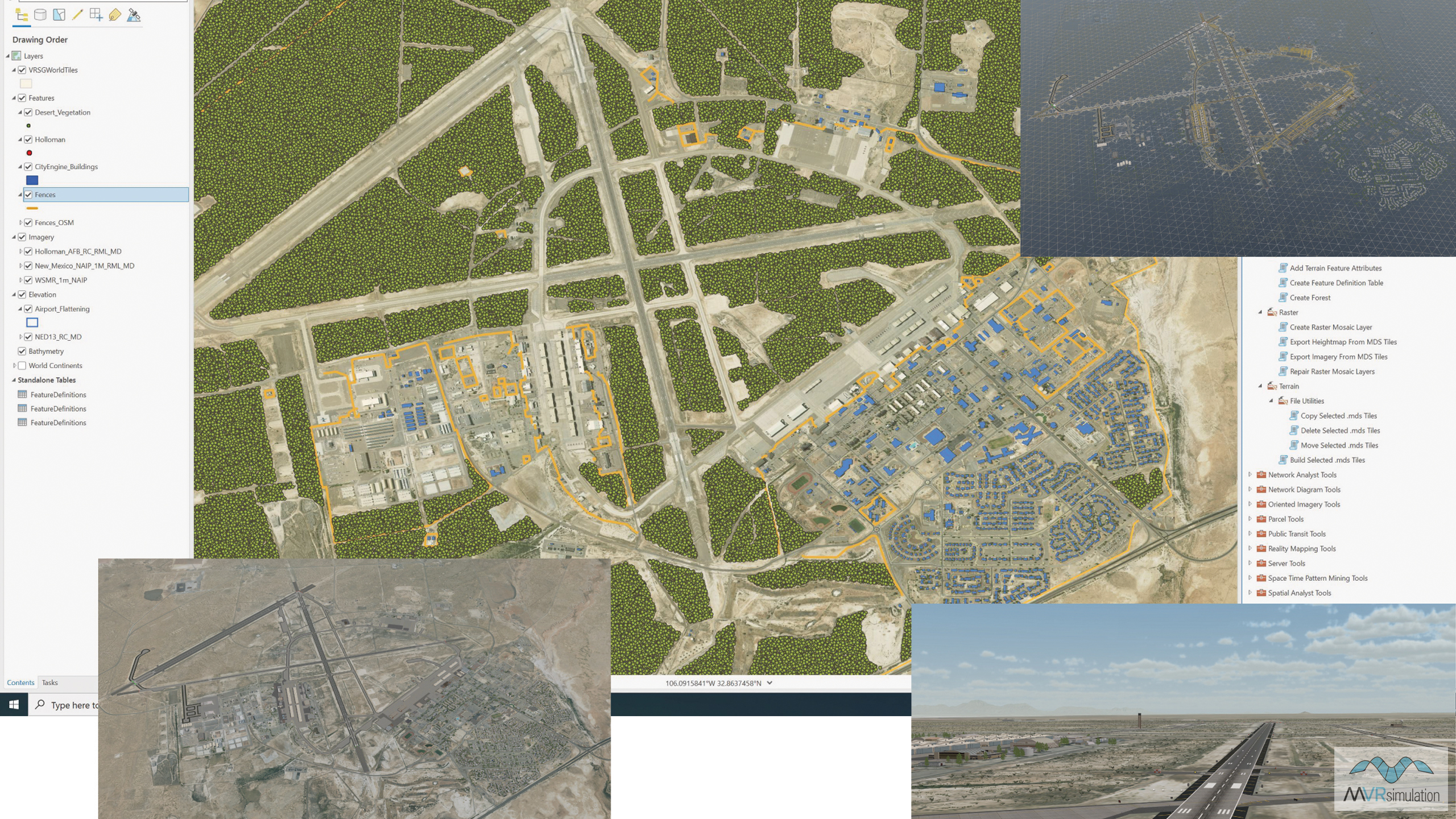
We released Terrain Tools for ArcGIS® Pro version 3.0 in November. The new version offers enhanced functionality and improvements for users who want to turn their geospatial data into real-time 3D terrain to render in VRSG from within their GIS software.
Terrain Tools for ArcGIS Pro version 3.0 retains support for all Terrain Tools 2.0 features, while adding performance improvements including:
• Parallelized display rendering during compilation
• Support for cutting ArcGIS® CityEngine® features into the terrain and 3D fences
• Support for randomizing damage states from the CityEngine rule files
• The ability to compile imagery from Web Tile layers into terrain
• Support to fine tune output from areal forest features
• Automatic transitioning of legacy databases from Terrain Tools 2.1 and Esri ArcGIS Desktop software.
Current Terrain Tools customers on active maintenance can obtain the latest release of Terrain Tools version 3.0 by downloading the software from their account on MVRsimulation's Download Server. Terrain Tools version 3.0 can also be delivered on a USB hard drive. For further information, including new inquiries, please email sales@mvrsimulation.com or visit our Request a Quote webpage.
Let's talk!
As always, we welcome your feedback and requests for new VRSG terrain and models, and are interested to discus how we can further expand the capabilities of our mixed-reality simulator systems to meet your emerging training requirements. We look forward to meeting with many of you at I/ITSEC, and for those not attending, please get in touch to arrange a demonstration at our Sudbury, MA site, or virtually via our secure online meeting software. We can even load our simulators into our Mobile Classroom Trailer and bring them to your facility to allow your whole team to get hands-on with the tech.
For demonstrations of our VRSG or Terrain Tools 3.0 software, extensive 3D model library, new VRSG terrain or one of our simulators, please email us at demos@mvrsimulation.com; for anything else please get in touch at sales@mvrsimulation.com.
As always, we encourage you to connect with us on LinkedIn page so you can stay up-to-date with all our latest developments throughout the year.

