Rick Husband Amarillo International Airport (KAMA) Terrain Database Information
- Imagery: 2mm & 5mm
- Elevation: NED 10m
- Terrain Drive: CONUS South Central
- Cultural Features: CityEngine/Geotypical Buildings, Control Tower, Custom Models (Geospecific Buildings), Fences or Walls, Hangars, Landscape Features (Shrubs, Grass, Paved Medians, etc.), Lighting for Non-Runway Areas (Streetlights), Navigation Aids, Roads, Runway, Runway Lights, Signs, Taxiways and Associated Markings, Trees, Utilities (Poles, Powerlines or Transmission Lines)
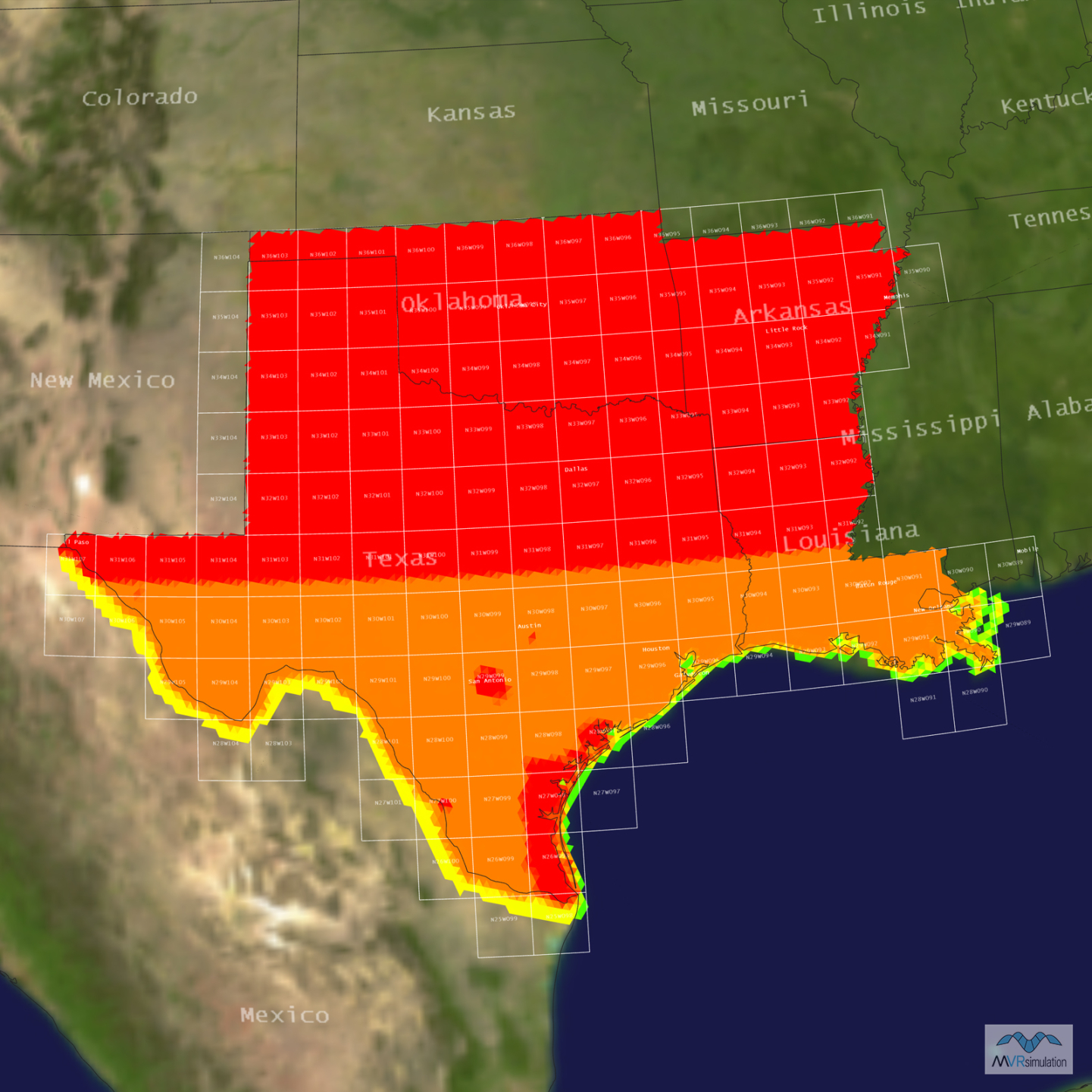
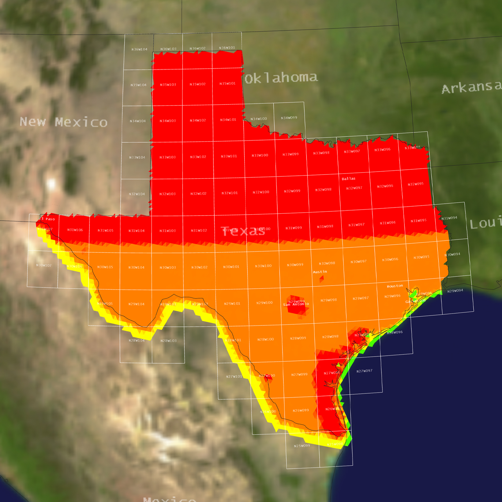
Tile Coverage Map
2 cm imagery of a taxiway. Click here to see the original 6000 x 4000 imagery.
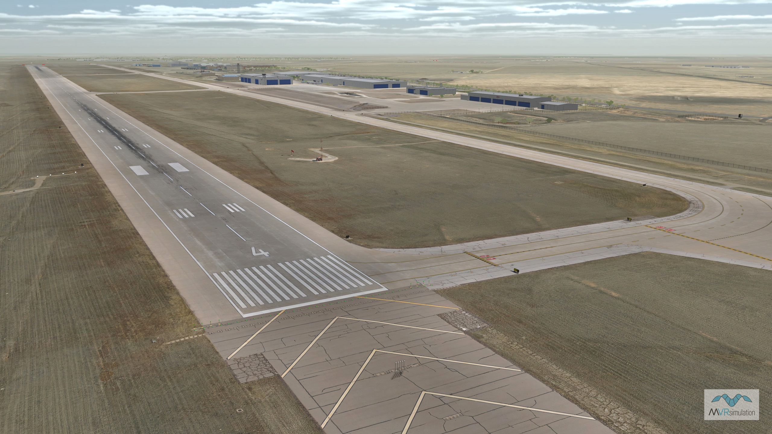
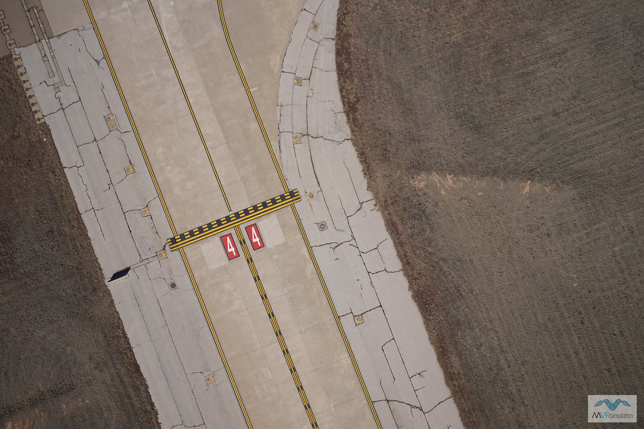
MVRsimulation VRSG real-time rendering of virtual Rick Husband Amarillo International Airport (KAMA) 5cm per pixel taxiway.
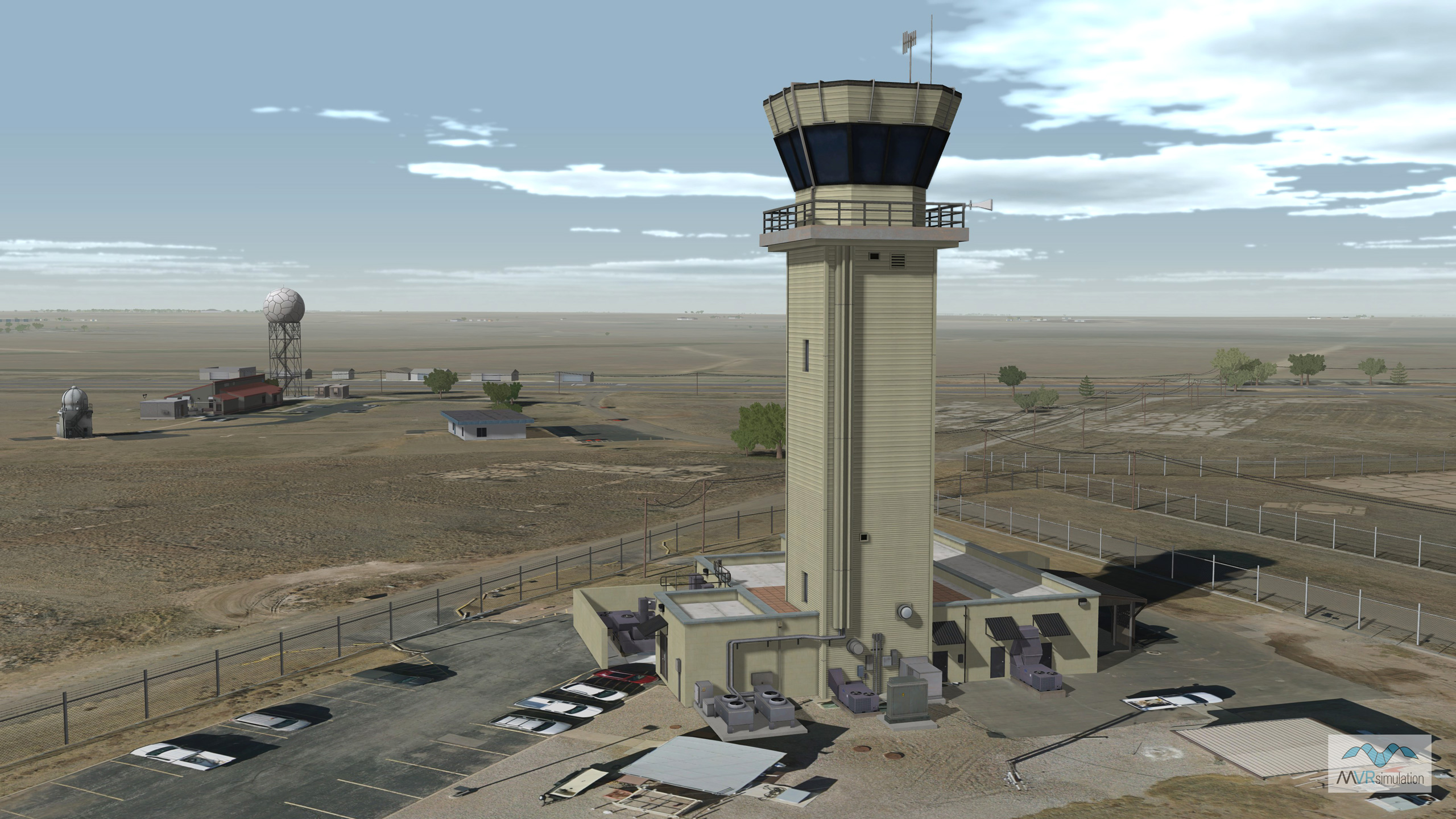
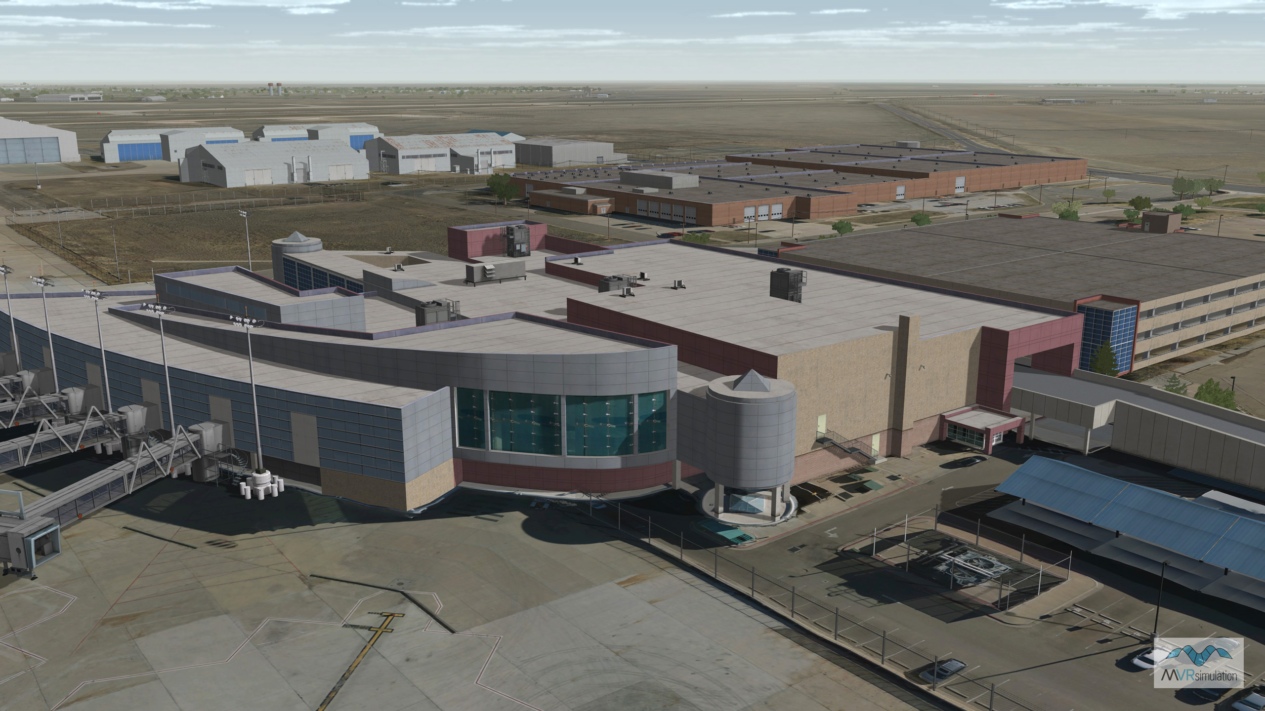
MVRsimulation VRSG real-time rendering of virtual Rick Husband Amarillo International Airport (KAMA), Amarillo, TX, with geospecific control tower model and other cultural content.
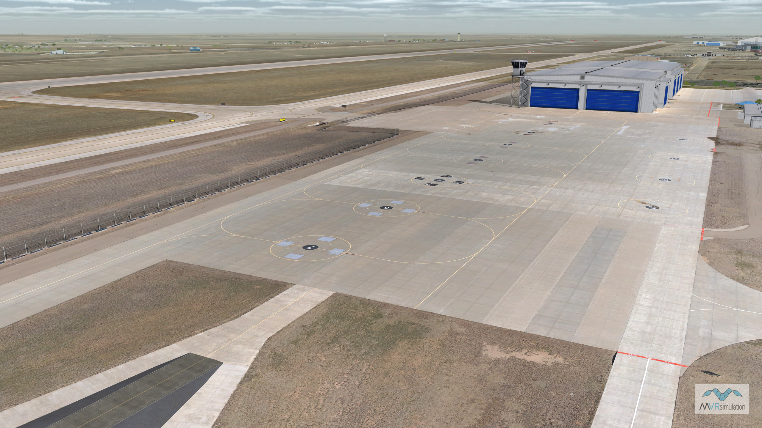
MVRsimulation VRSG real-time rendering of virtual Rick Husband Amarillo International Airport (KAMA) rotary wing ramp.
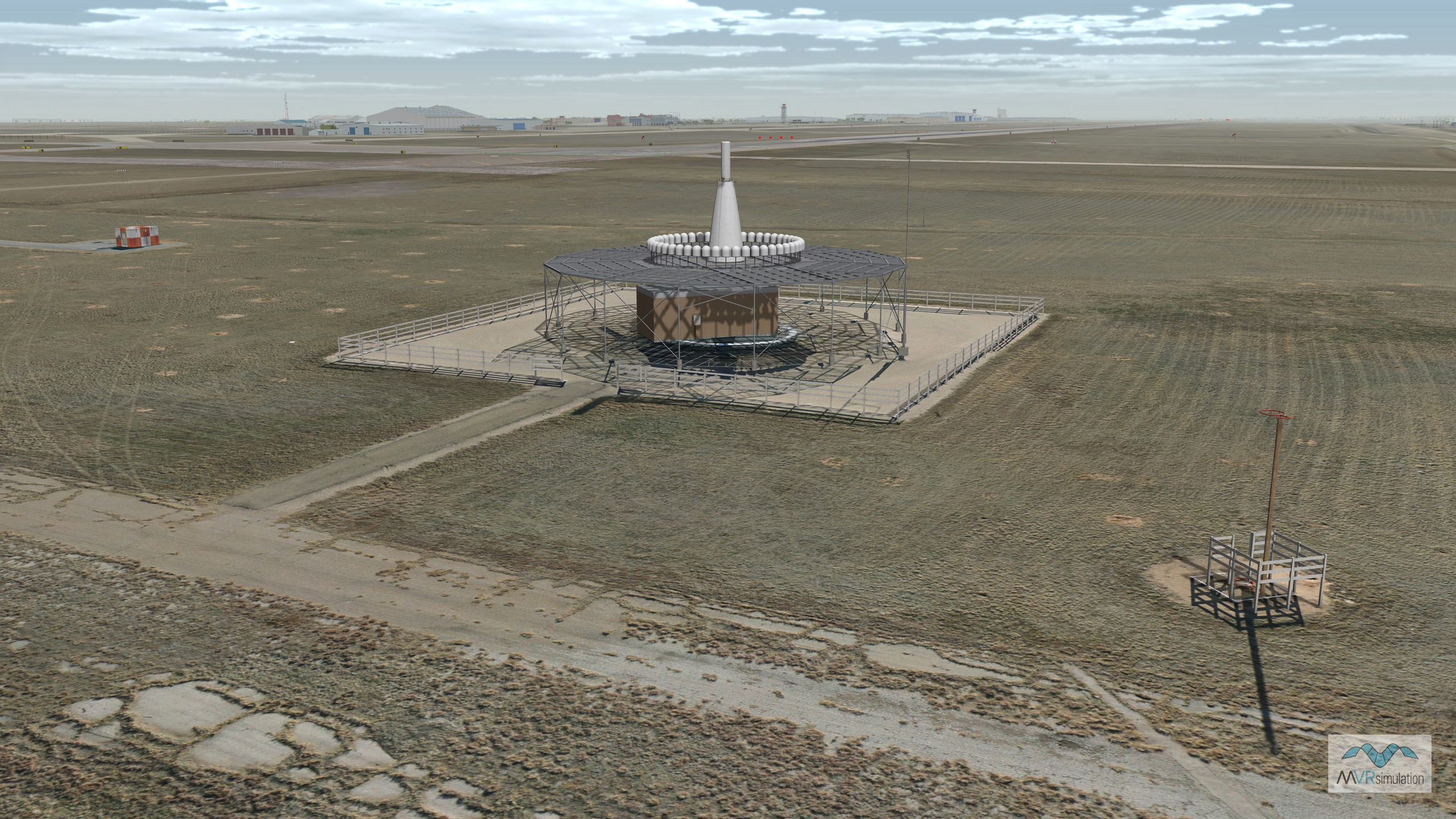
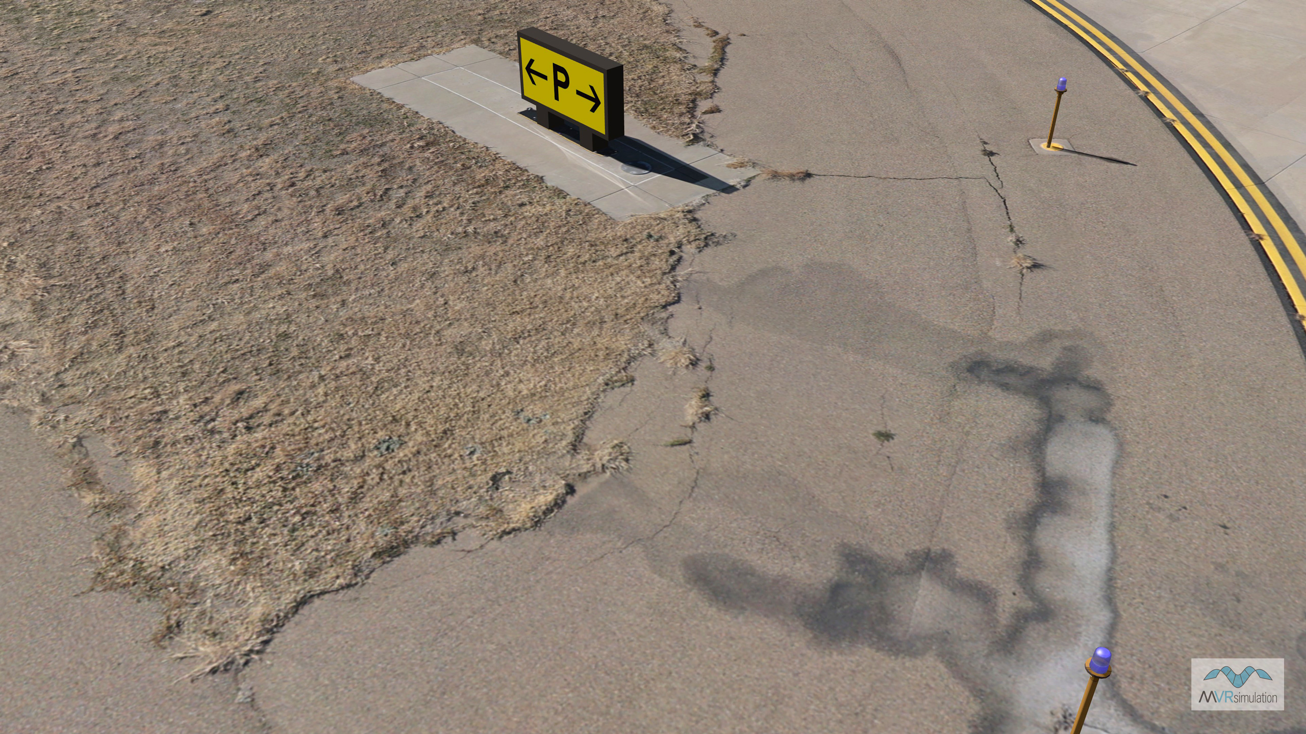
VRSG real-time scene featuring navigational aids and ultra-high-resolution ground imagery at the virtual Amarillo International Airport.
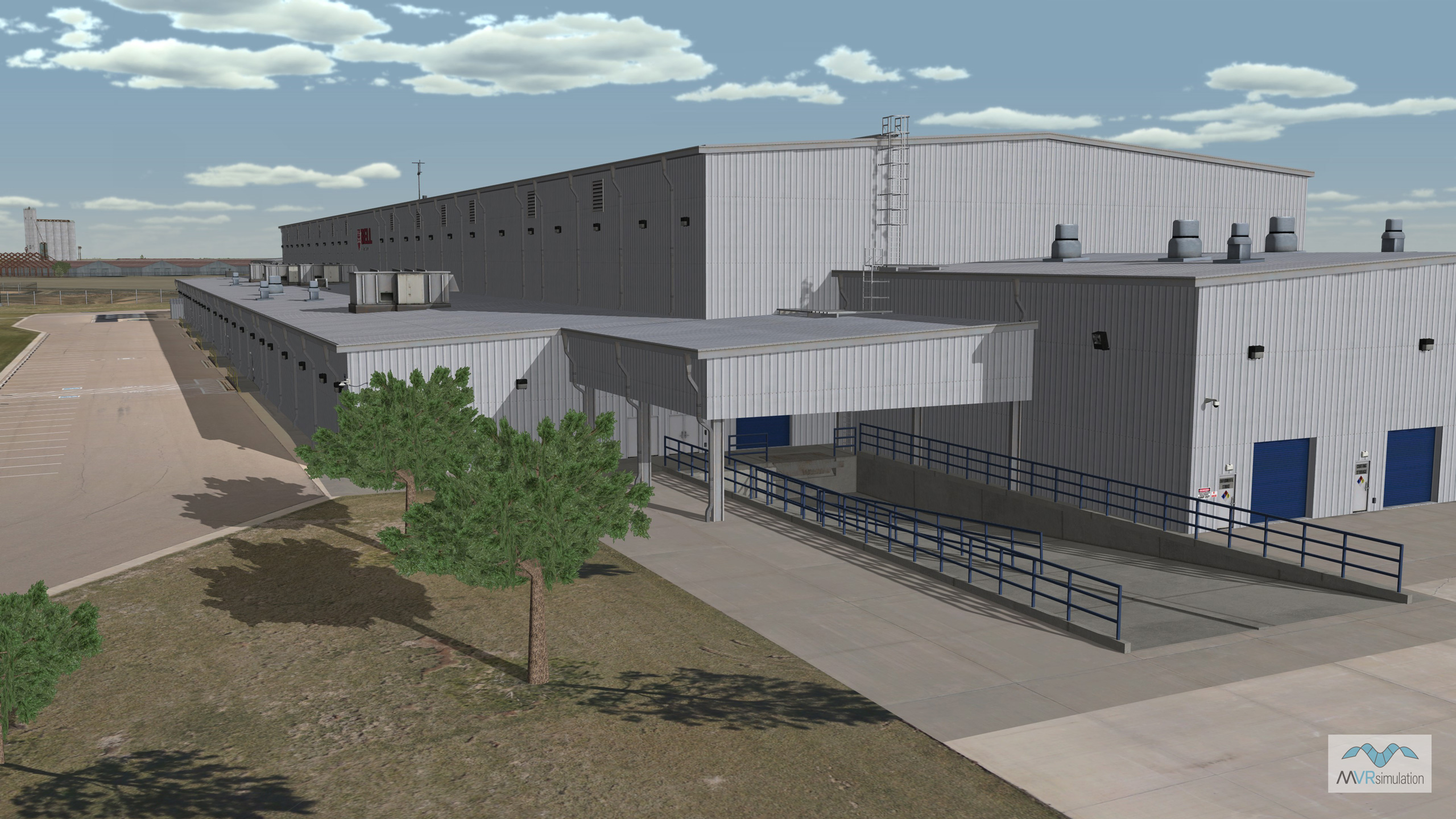
MVRsimulation real-time VRSG scene of a geospecific building with a truck ramp at the virtual Amarillo International Airport.