Tampa Bay, Tampa, FL
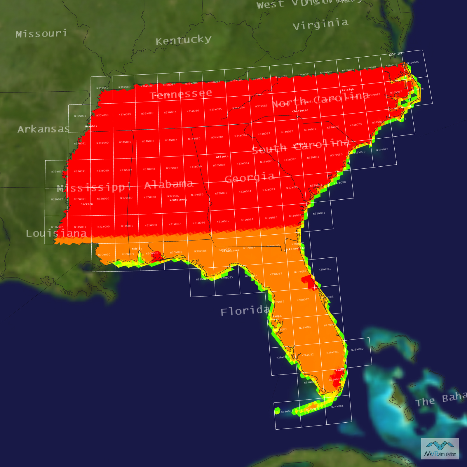
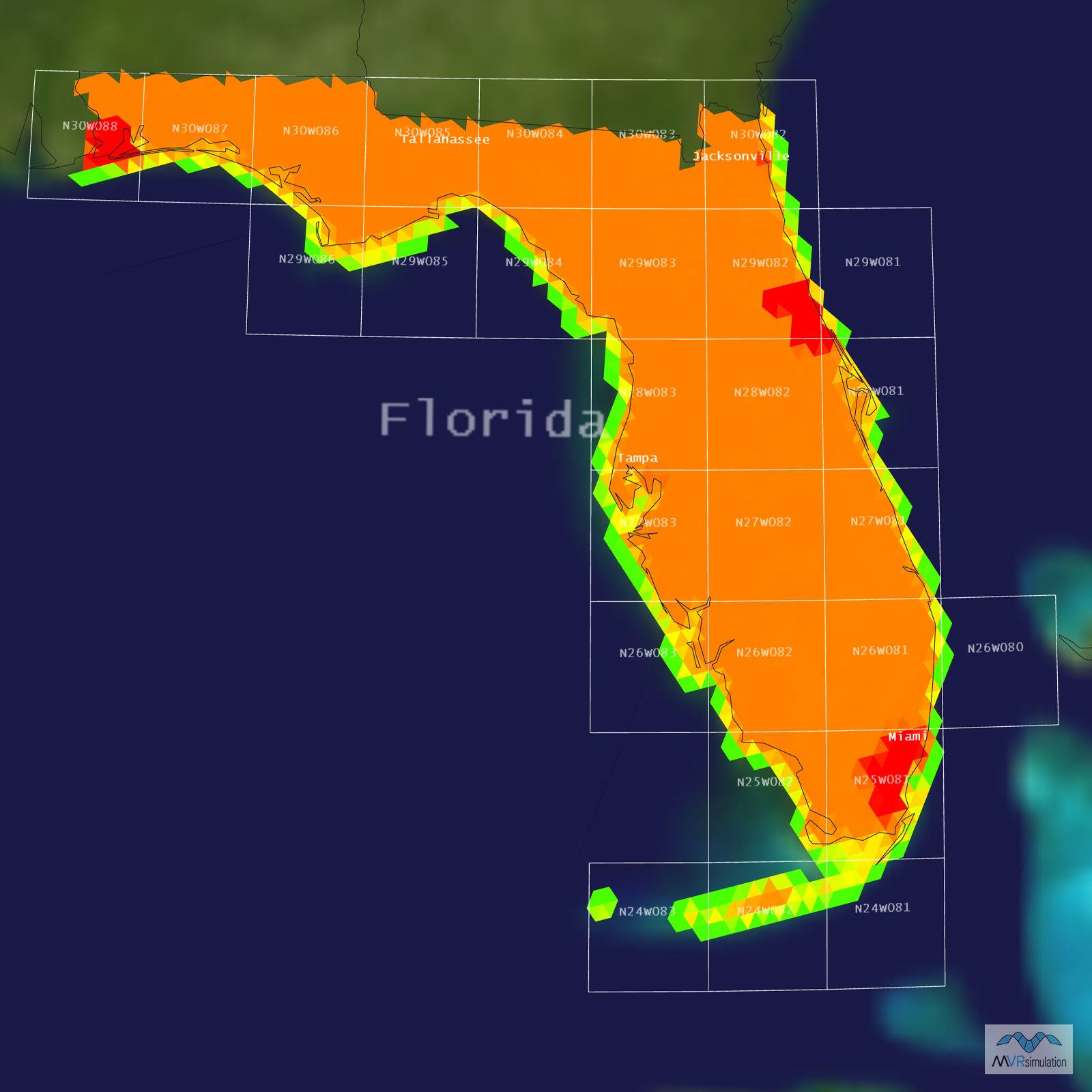
Tampa, Florida Terrain Database Information
- Imagery: 1m
- Elevation: NED 10
- Terrain Drive: CONUS Southeast
- Cultural Features: Bridge(s) Geospecific/Geotypical, CityEngine/Geotypical Buildings, Custom Models (Geospecific Buildings), Port/Bathymetric Data, Roads, Trees
Tile Coverage Map
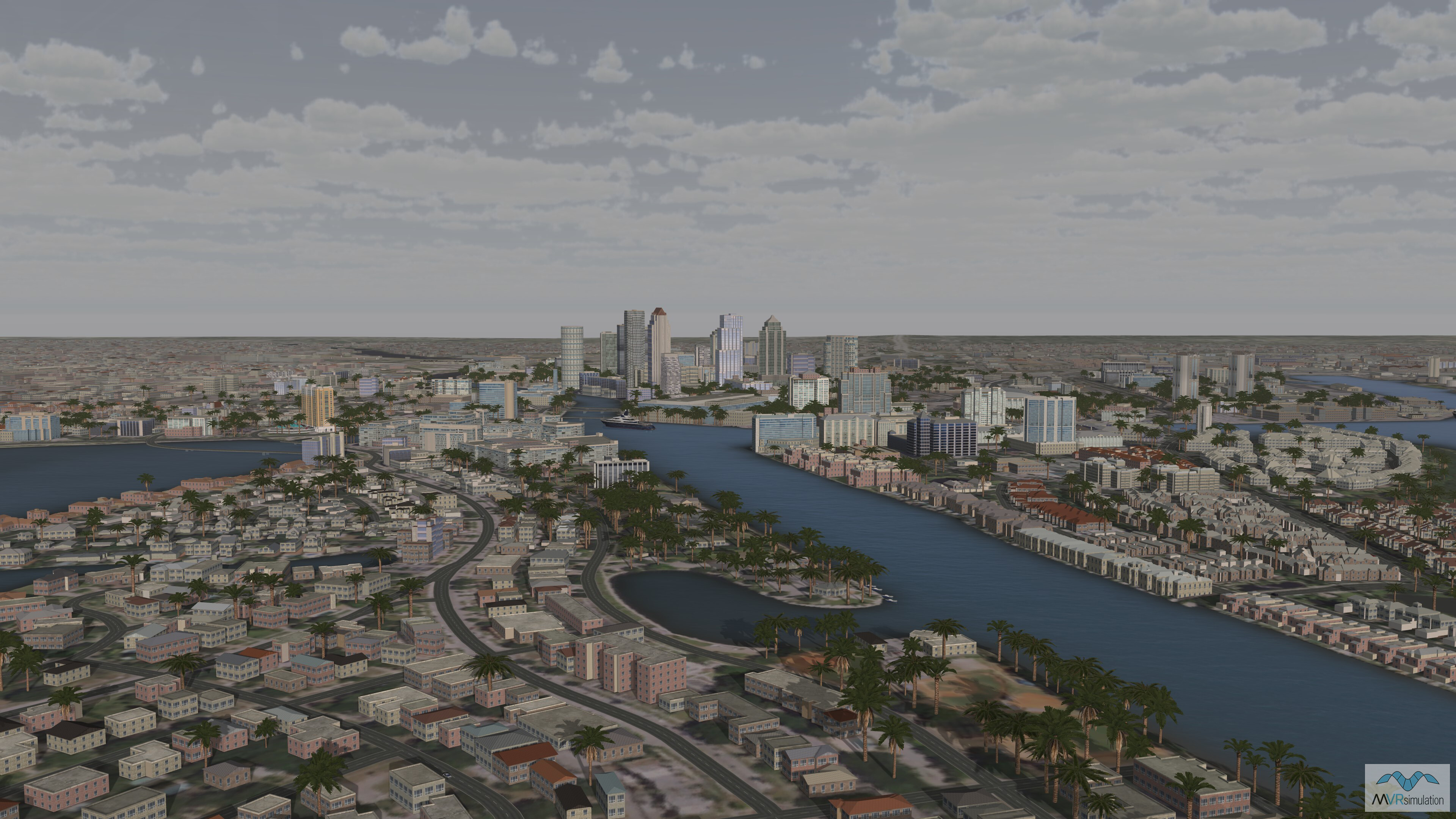
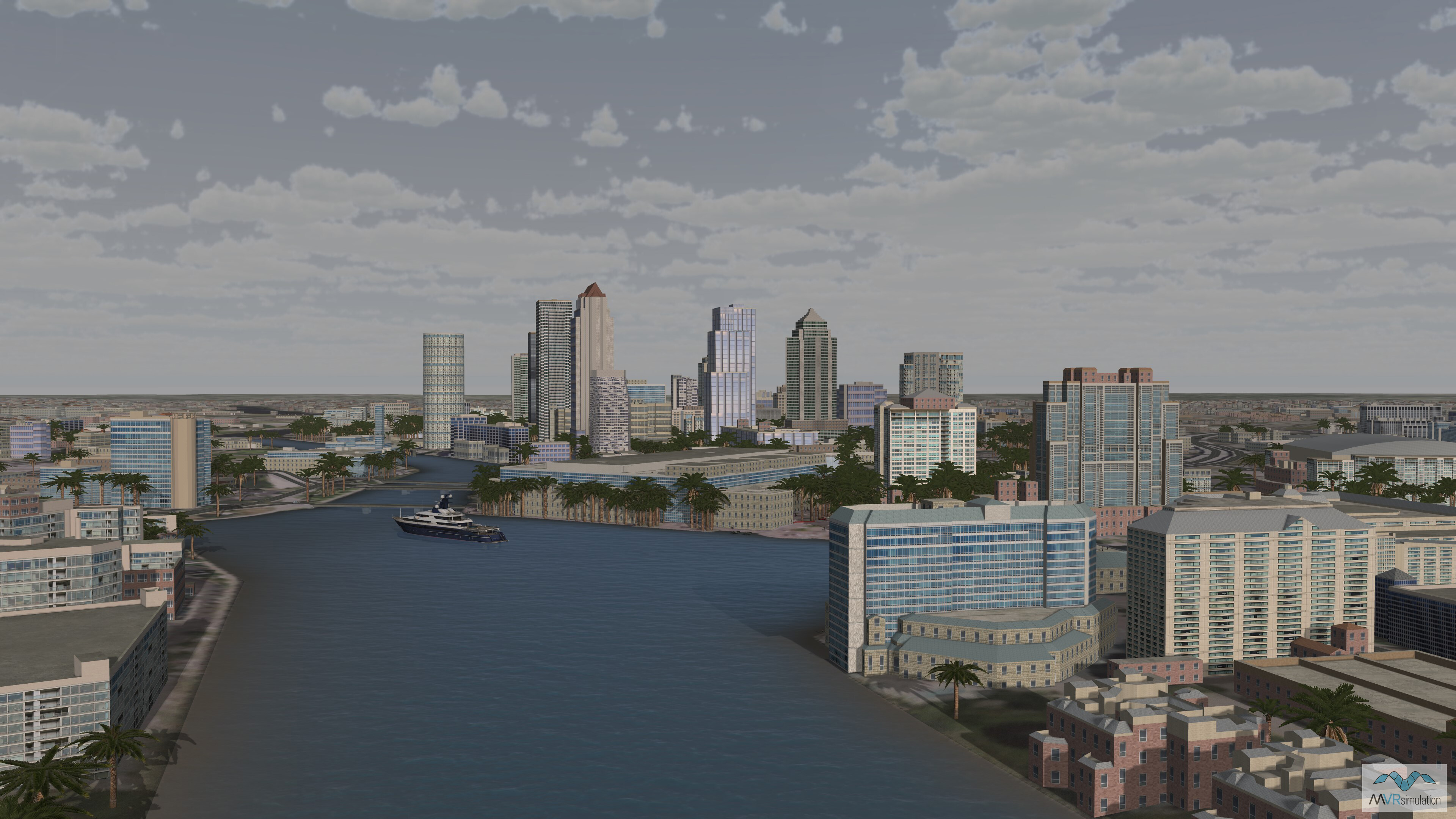
The Seddon Channel, part of VRSG's high-resolution virtual Tampa Bay terrain.
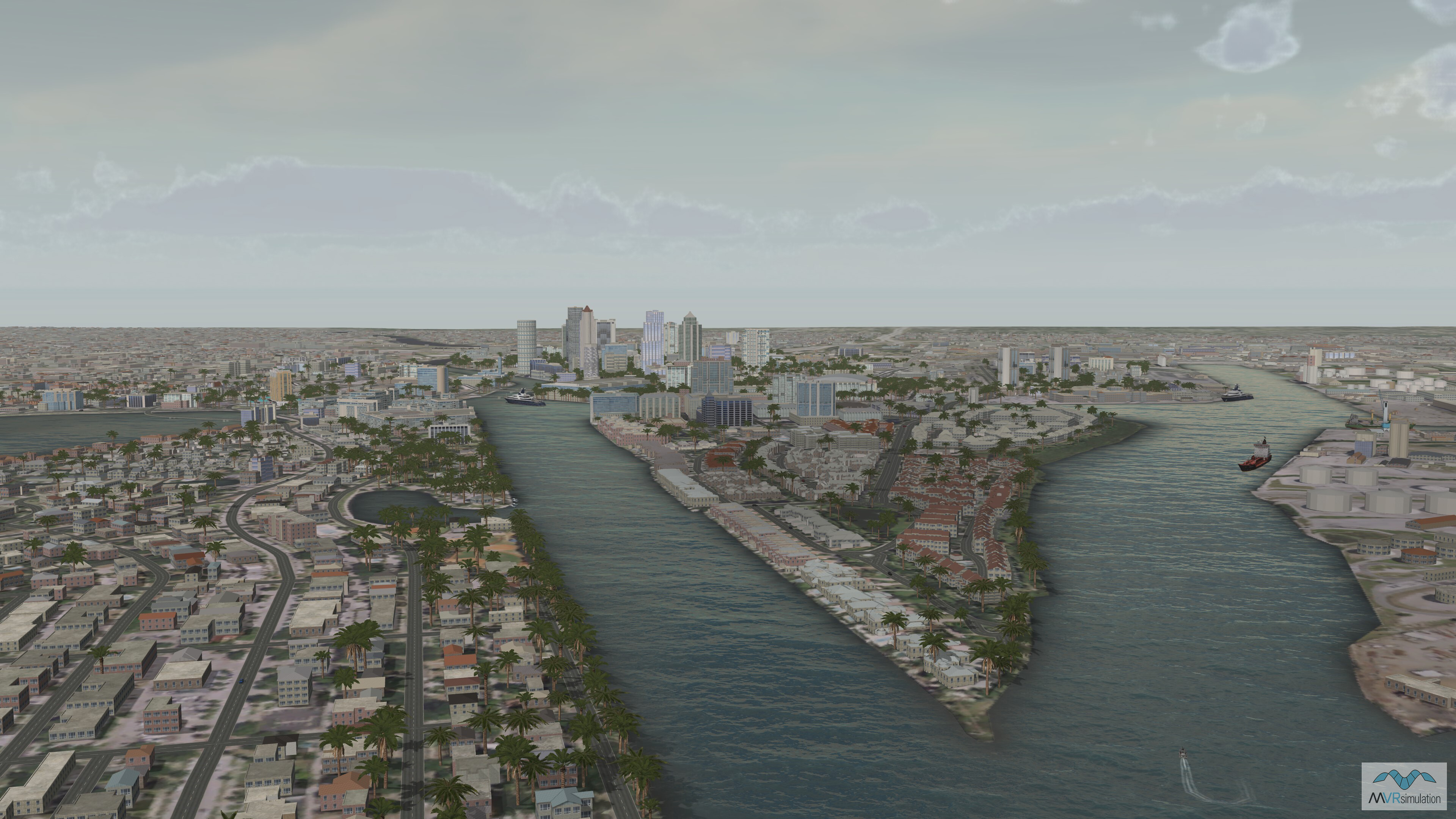
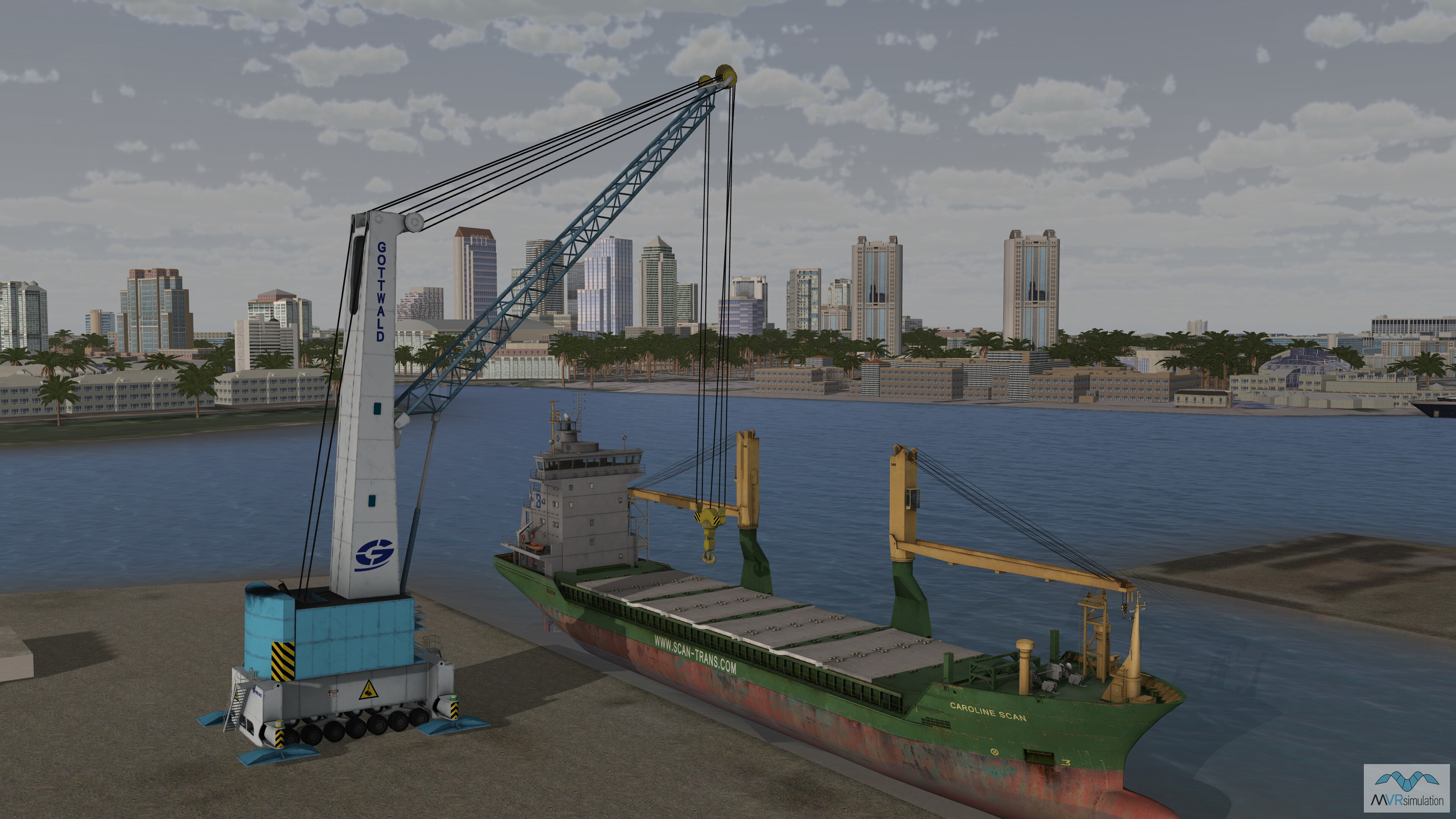
Virtual Harbour Island looking toward the convention center in Tampa Bay.
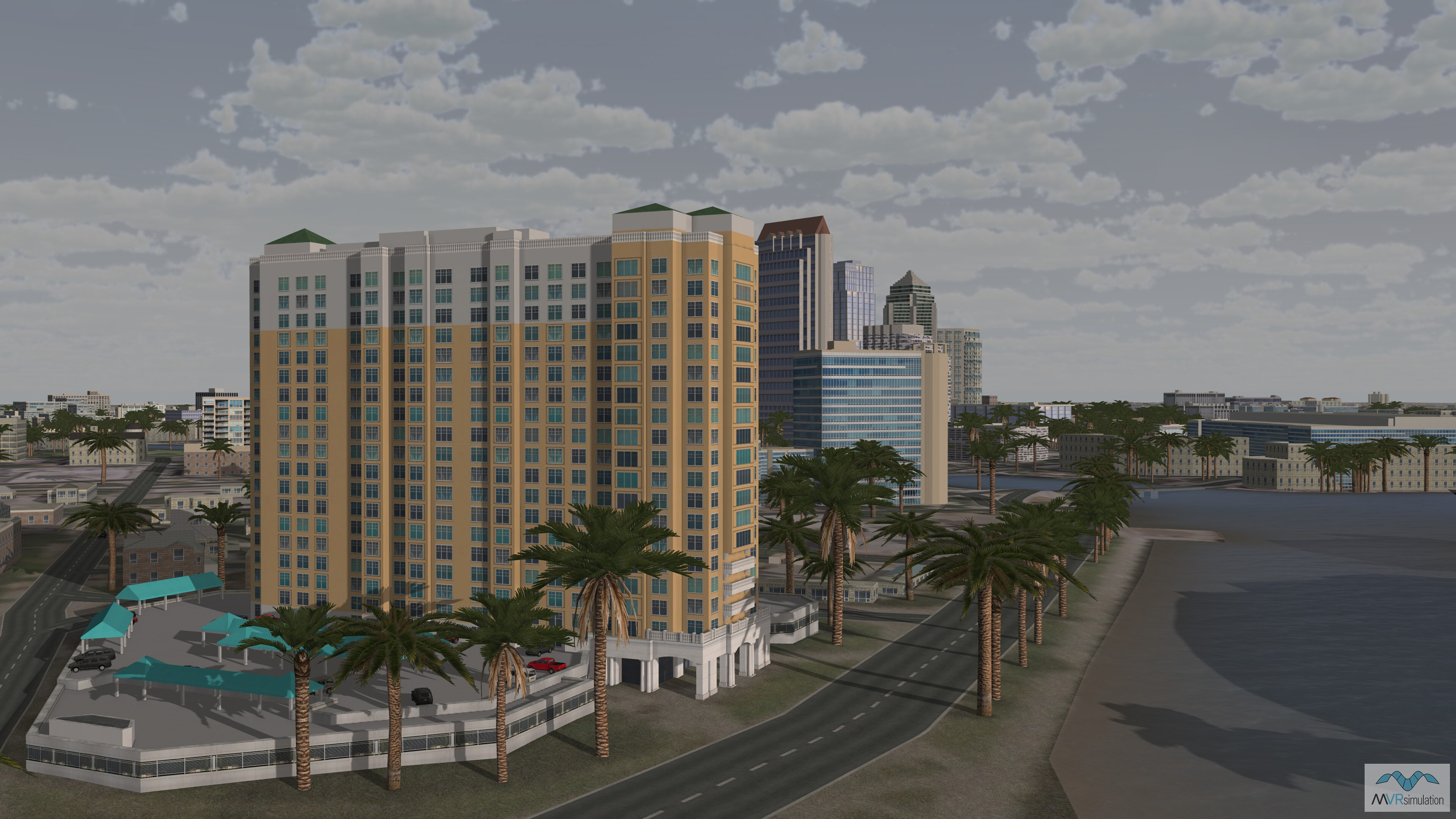
High-resolution geospecific model of the 345 Bay Shore Condominiums in Tampa Bay.
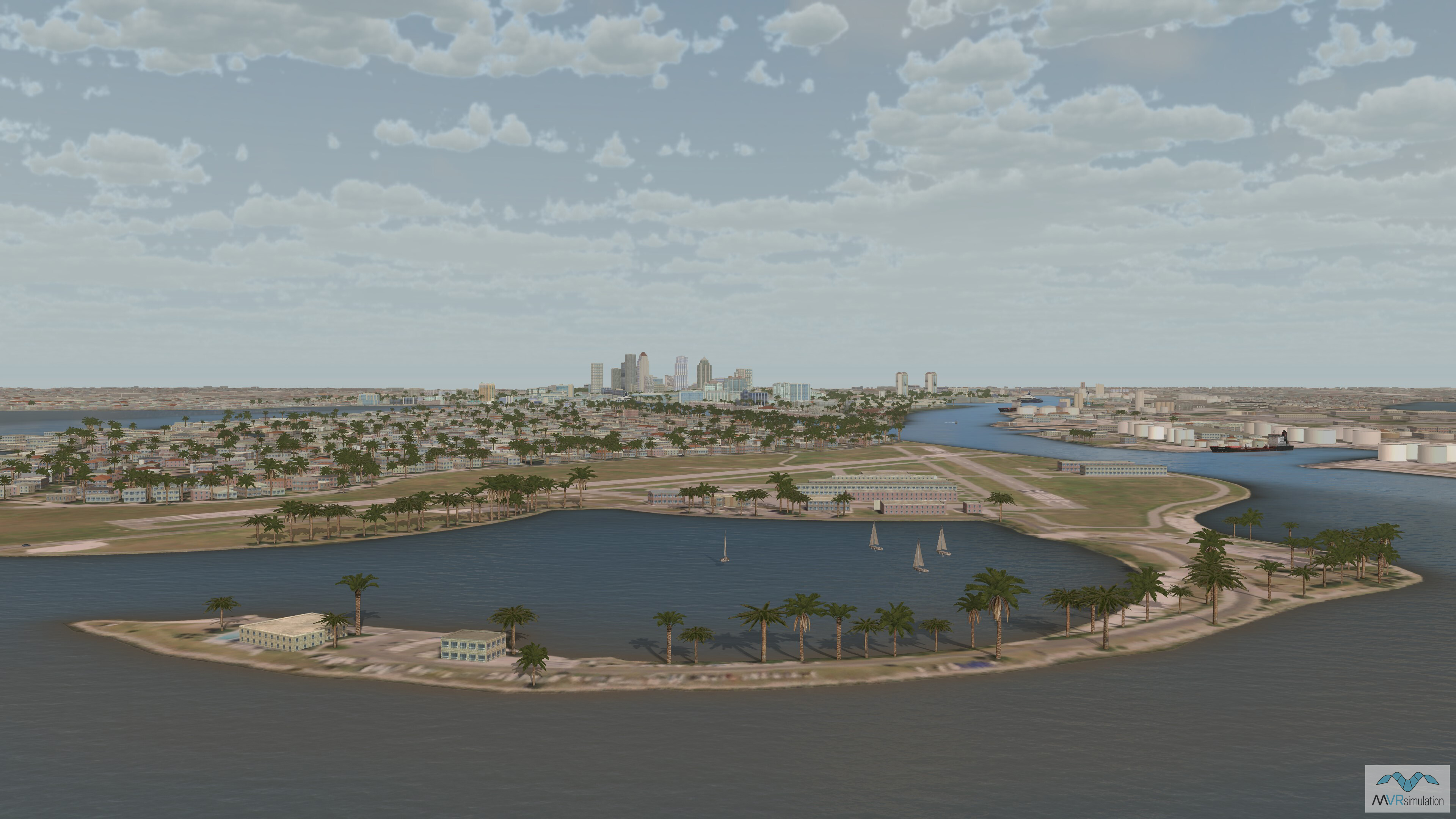
Davis Islands in VRSG's virtual Tampa Bay terrain.
A 1:1 Virtual Counterpart for Urban Operations
In 2024, MVRsimulation built a geospecific, high-resolution inset of Tampa, Florida, to virtually replicate a live Special Forces Operations training exercise that occurred there during SOF Week in 2022. The project required creating a detailed virtual representation of Tampa Bay, which included geospecific models of the Tampa Convention Center, the shoreline, and a permanently moored yacht.
To rapidly create the database for this event, the terrain team started with an existing VRSG Tampa dataset built with 1-meter NAIP imagery. Using CyberCity 3D models textured with CityEngine, and over 32,000 procedural buildings were generated based on building footprints. The road infrastructure was then added by integrating road vectors from OpenStreetMap, allowing for a comprehensive and quickly-developed virtual environment.
EXTEND YOUR TERRAIN DATABASE
MVRsimulation Downloads Server
- Explore and implement terrain updates
- Download and use new 3D models
- Stay up-to-date with VRSG features
- Discover utilies for expanding VRSG
MVRsimulation Regional Terrain Drives
- External hard drive - regional terrian
- Network attached storage device - whole-world terrain
- Ready for plug and play
- Available to customers on active maintenance
MVRsimulation Produced Custom Terrain
- Custom terrain created by MVRsimulation's terrain team
- Specify your desired area of interest
- Indentify needed terrain features.
- Use your own or commercially available imagery
Create Terrain with Terrain Tools
- Build real-time 3D terrain for VRSG using GIS technology with ArcGIS Pro
- Designed to be user-friendly for users with basic ArcGIS knowledge
- Use imagery, elevation, and optional vector data to create terrain
- Compile buildings from 2D polygon footprint features using a CityEngine rule package