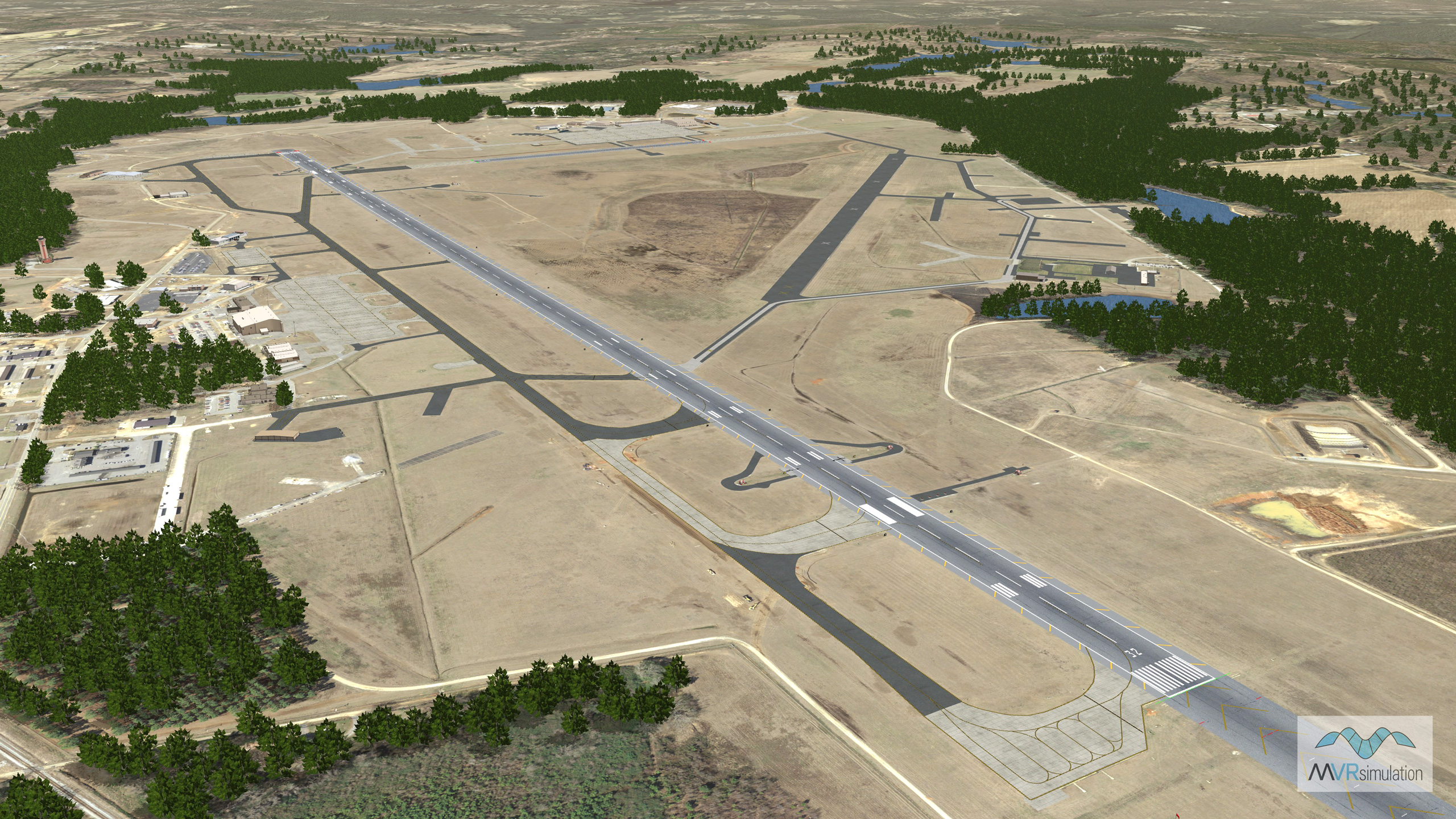
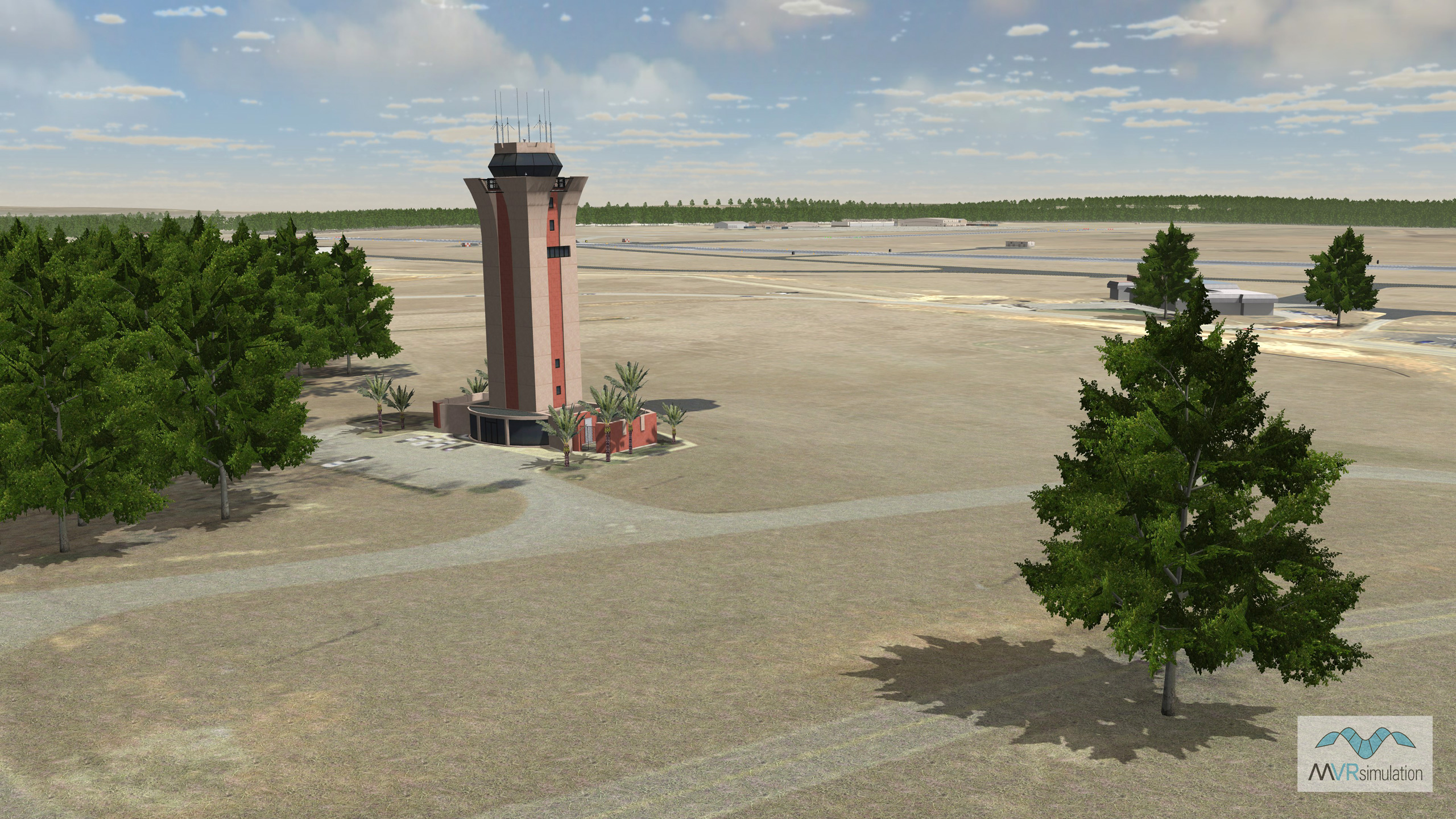
McEntire Joint National Guard Base (KMMT) Terrain Database Information
- Imagery: 15cm
- Elevation: Interpolated NED 1/3 (10m) and DTED1, to match FAA airfield elevations with at least 95% accuracy
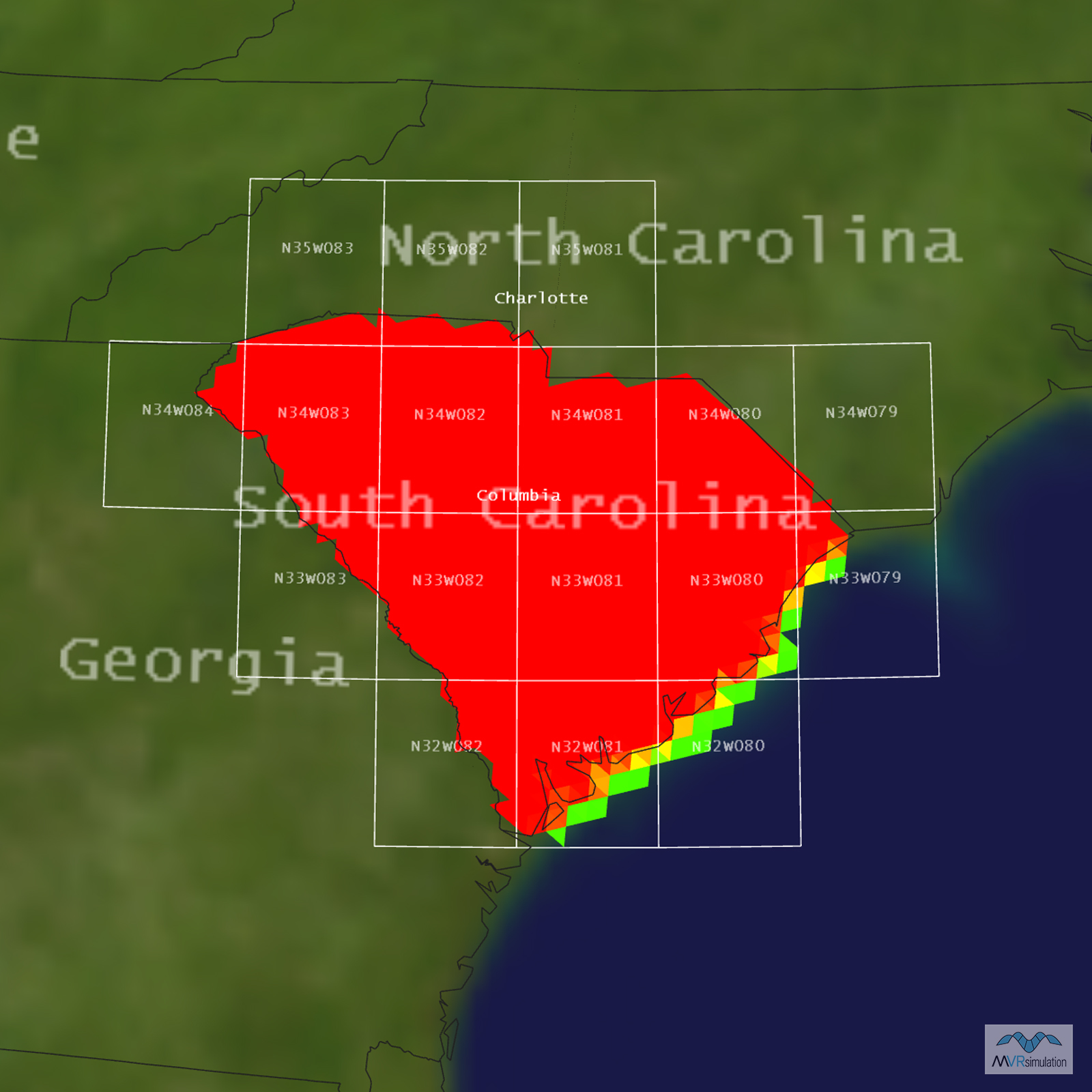
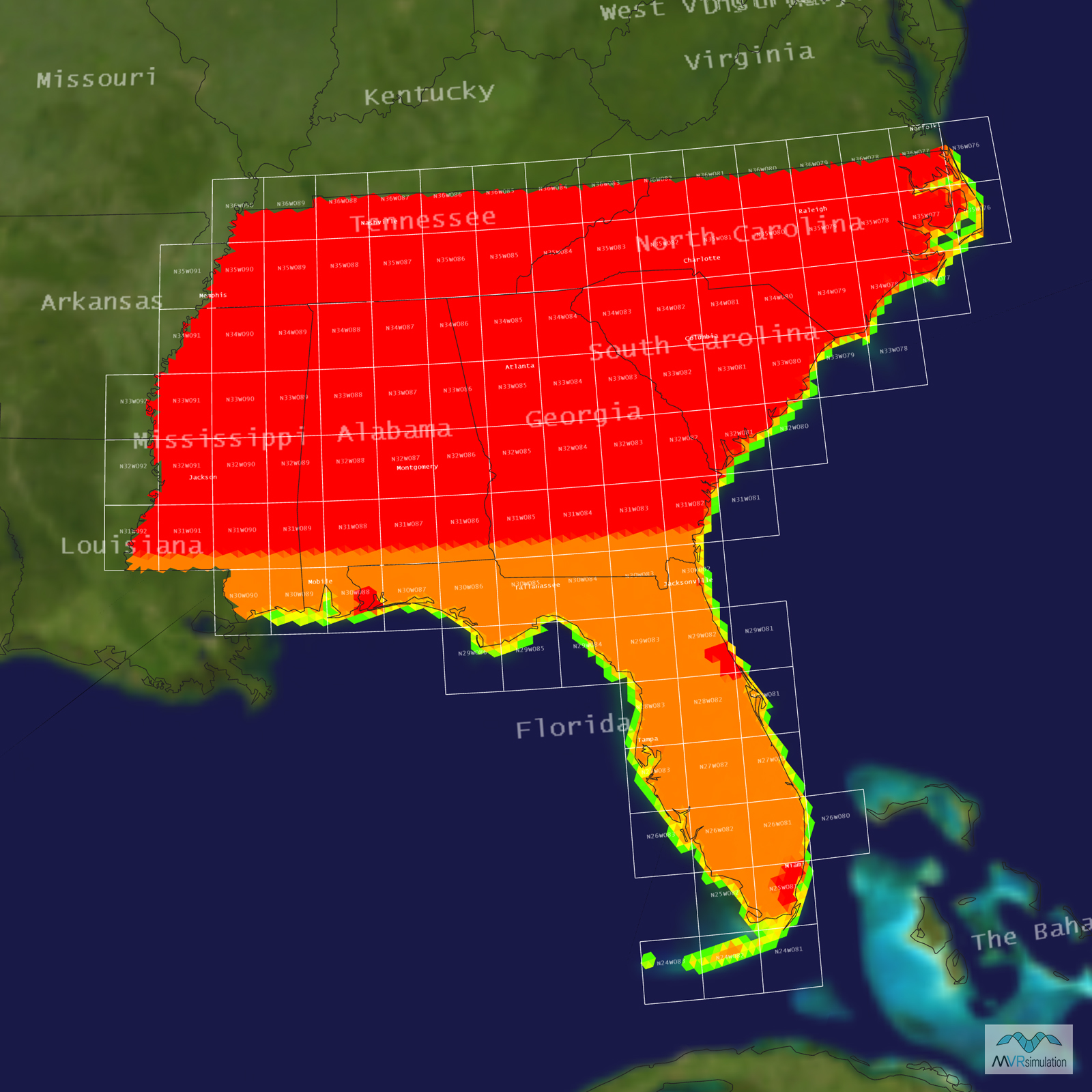
- Terrain Drive: CONUS Southeast
- Cultural Features: Geotypical Buildings, Control Tower, Custom Models (Geospecific Buildings), Light Poles, Runway, Runway Lights, Trees