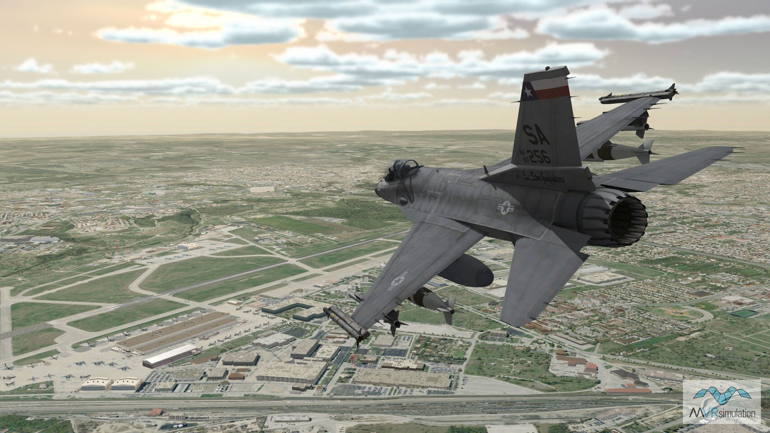
VRSG real-time scene of an F-16 entity in flight over virtual Kelly Field at Lackland Air Force Base.
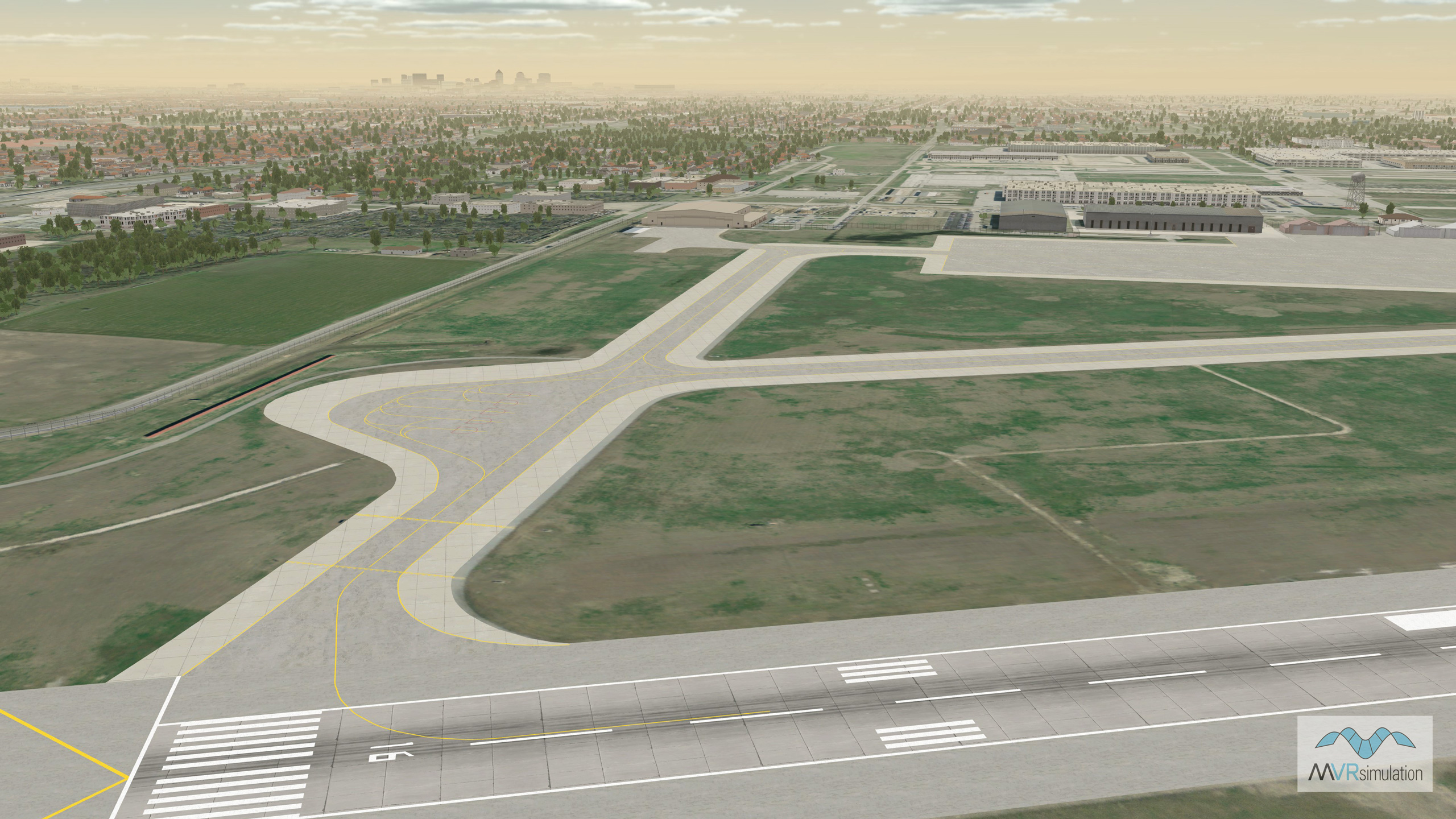
Virtual Lackland Air Force Base / Kelly Field (KSKF) runway area with a geospecific control tower model and other cultural content.
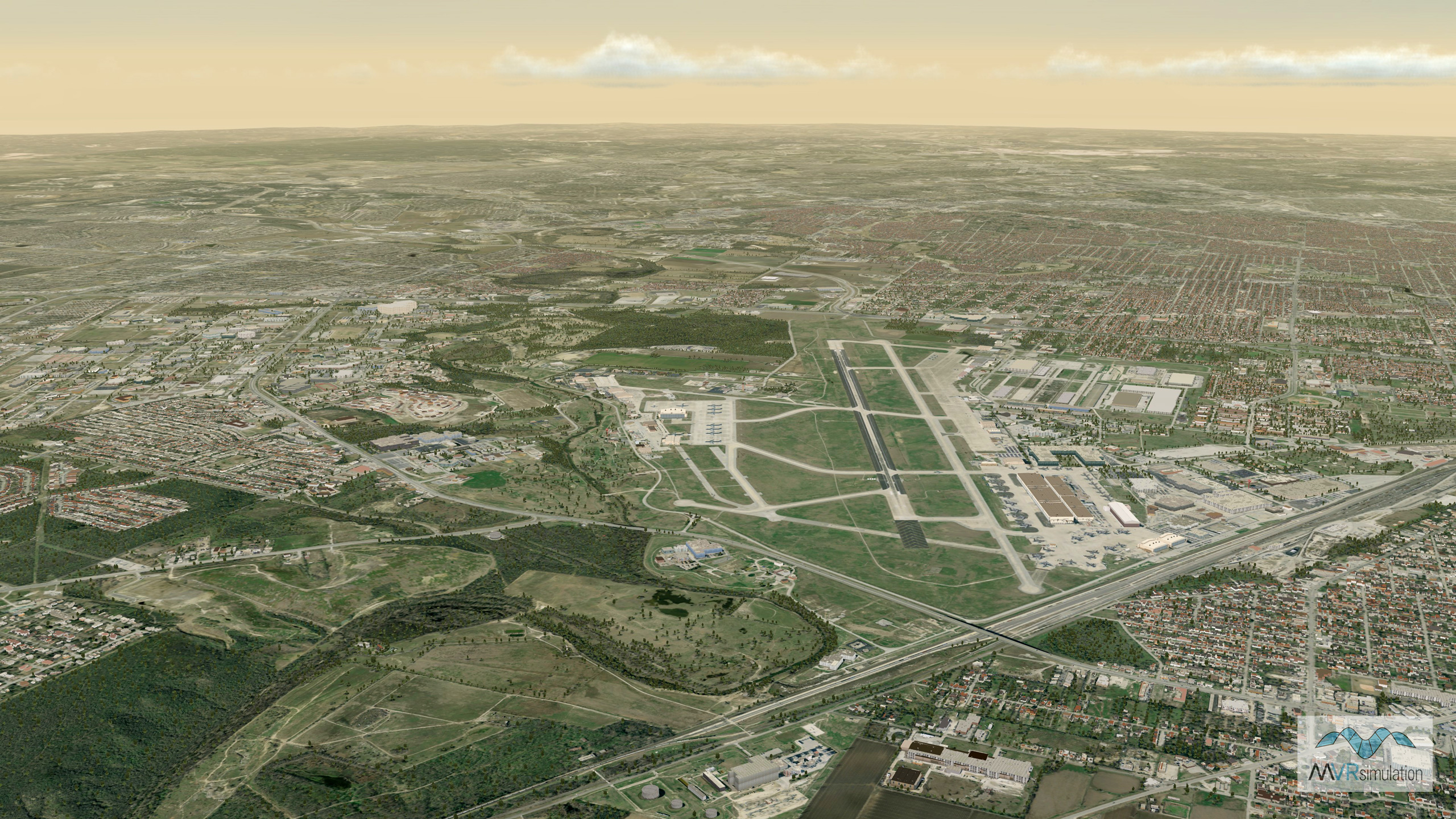
VRSG real-time scene of virtual Lackland Air Force Base / Kelly Field (KSKF), Joint Base San Antonio, TX.
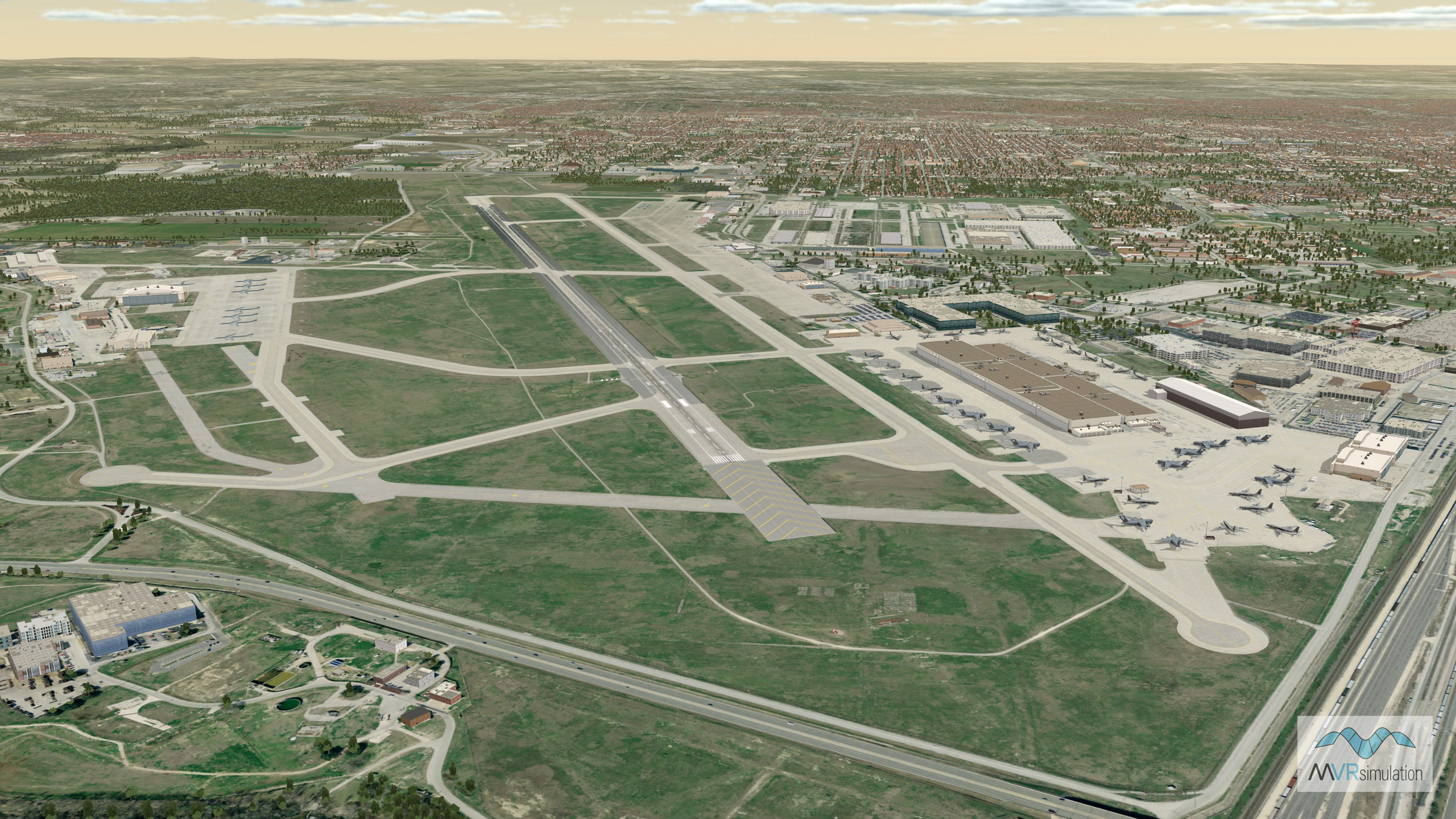
VRSG real-time scene of virtual Lackland Air Force Base / Kelly Field (KSKF), Joint Base San Antonio, TX.
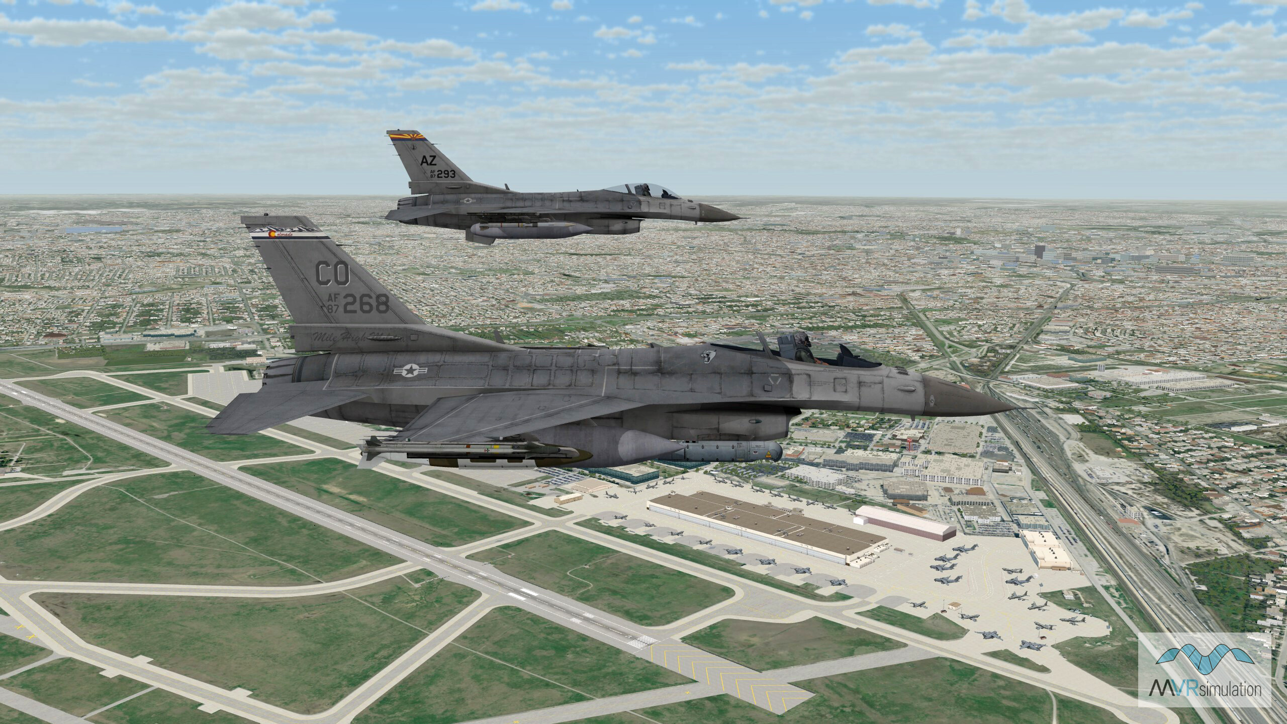
VRSG real-time scene of two F-16 entities in flight over virtual Lackland Air Force Base / Kelly Field (KSKF), Joint Base San Antonio, TX.
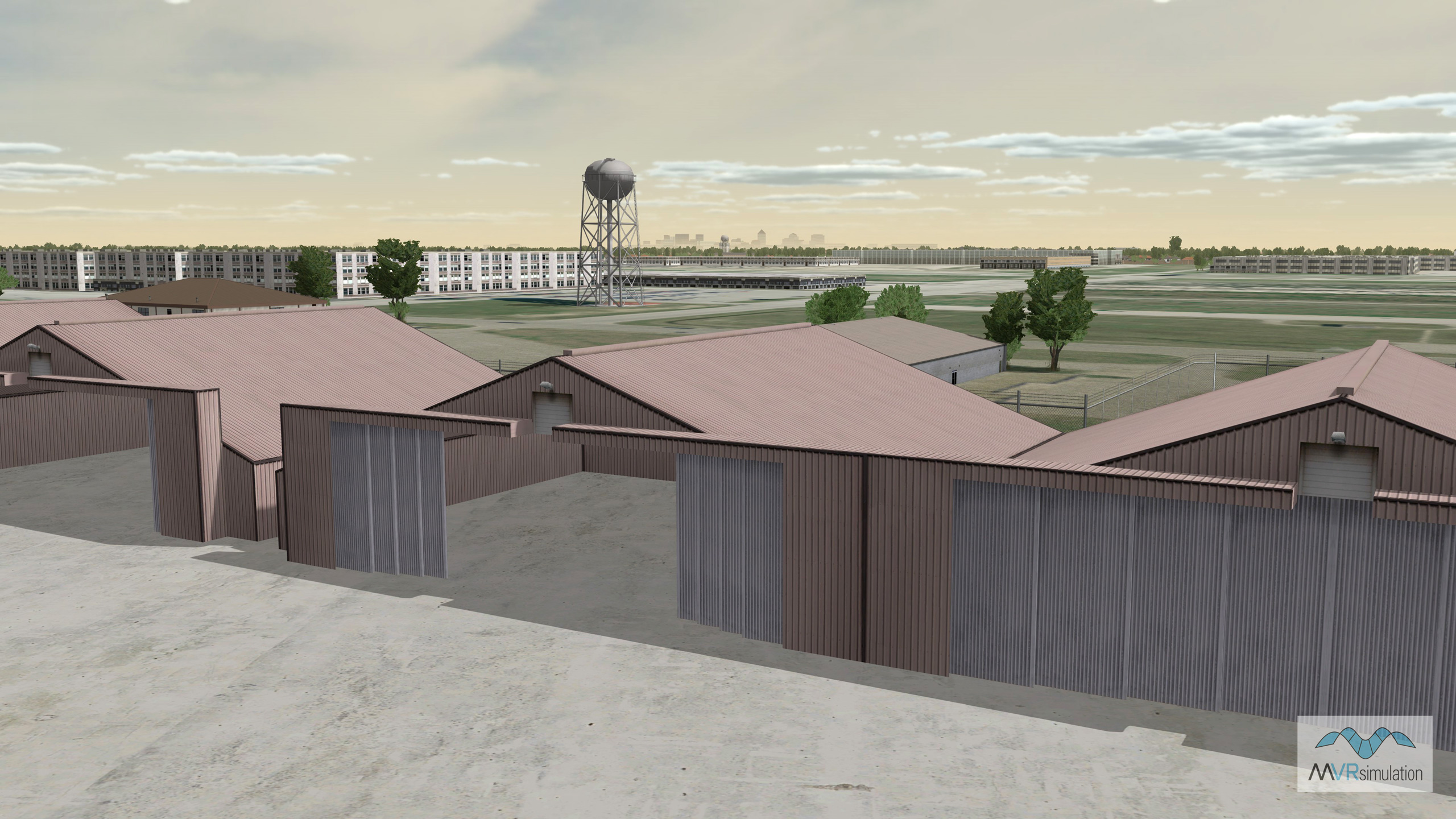
VRSG real-time scene of some culture models on virtual Lackland Air Force Base / Kelly Field (KSKF), Joint Base San Antonio, TX.
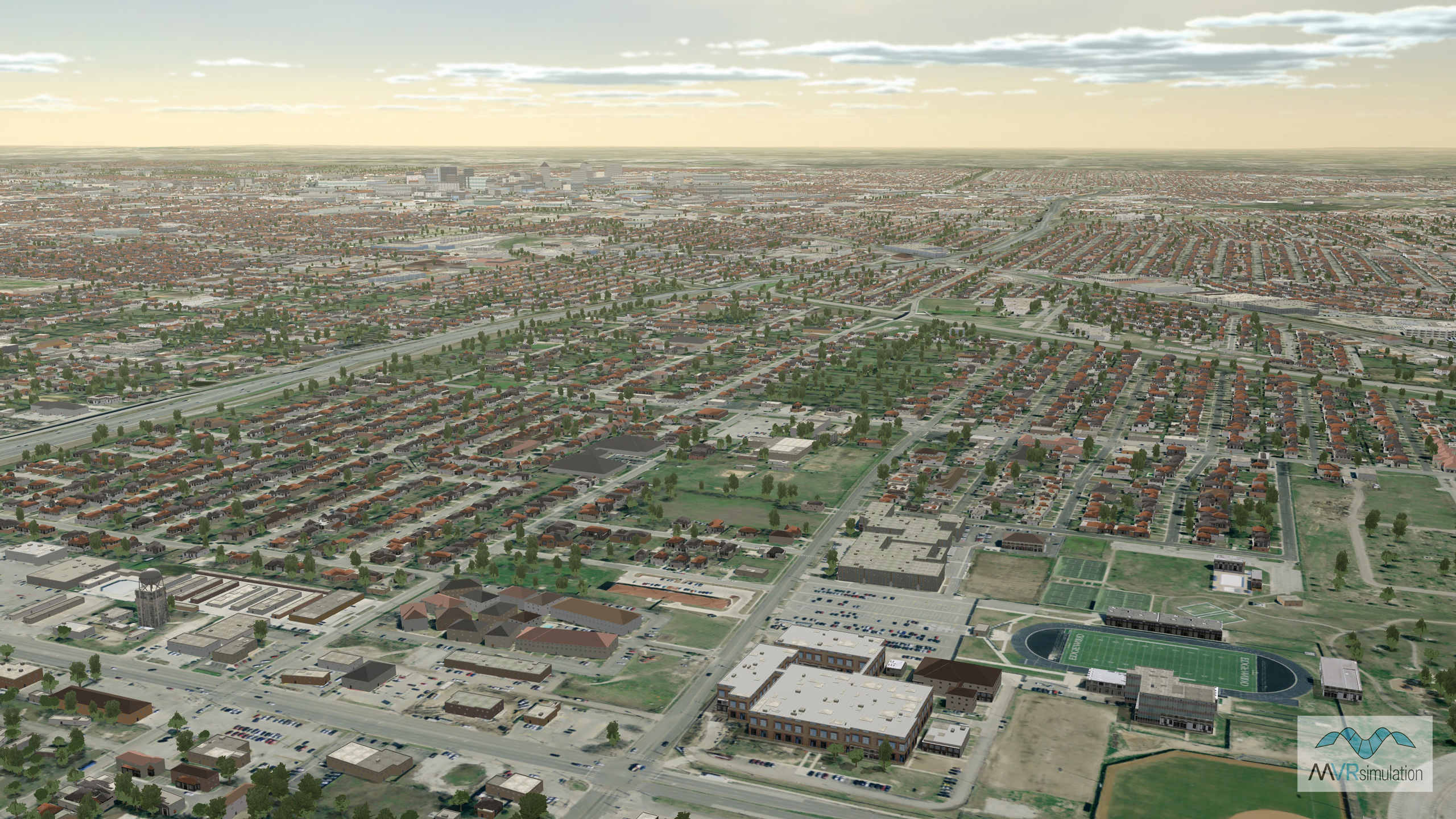
VRSG real-time scene of environs outside virtual Lackland Air Force Base / Kelly Field (KSKF), Joint Base San Antonio, TX.
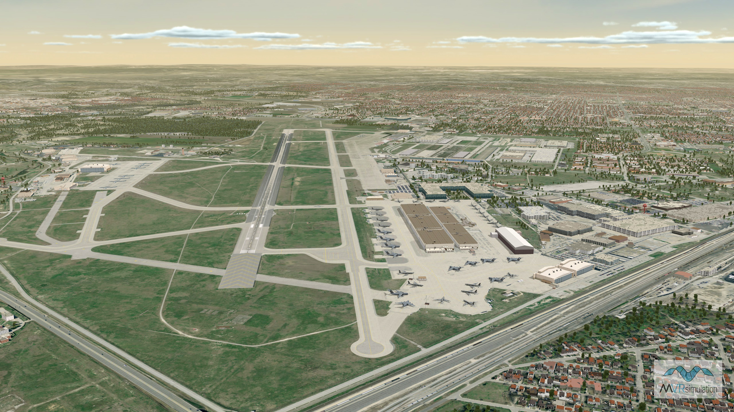
VRSG real-time scene of virtual Lackland Air Force Base / Kelly Field (KSKF), Joint Base San Antonio, TX.
- Imagery - 15 cm per pixel Lackland AFB / San Antonio area blended into 1 mpp imagery surrounding the area
- Elevation - 10 mpp NED of Lackland AFB, DTED 1 of San Antonio, and custom elevation to match FAA airfield elevations with at least 95% accuracy
- Cultural features - Runway, runway lights, hangars and other geotypical buildings and structures, light poles, storage tanks, and 40,860 geotypical volumetric trees
- Other culture - Surrounding Lackland AFB is terrain of Greater San Antonio, comprised of 182,166 buildings which were generated with Esri CityEngine®. The models were extruded and textured from OpenStreetMap (OSM) data, exported from CityEngine in FBX format, and then converted to MVRsimulation’s model format.
