
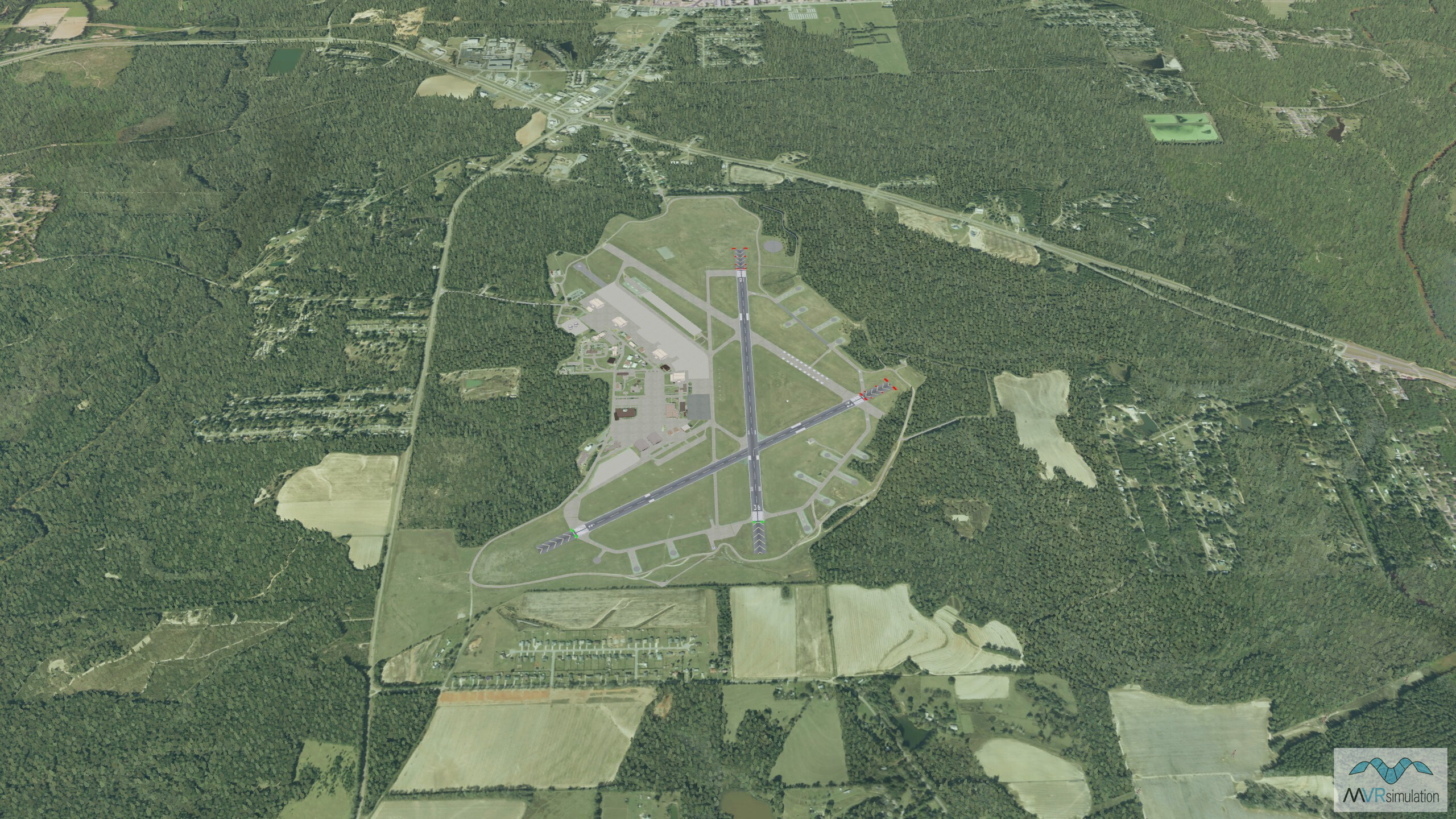
Bird's eye view of Cairns Airfield at Fort Rucker, visualized in VRSG.
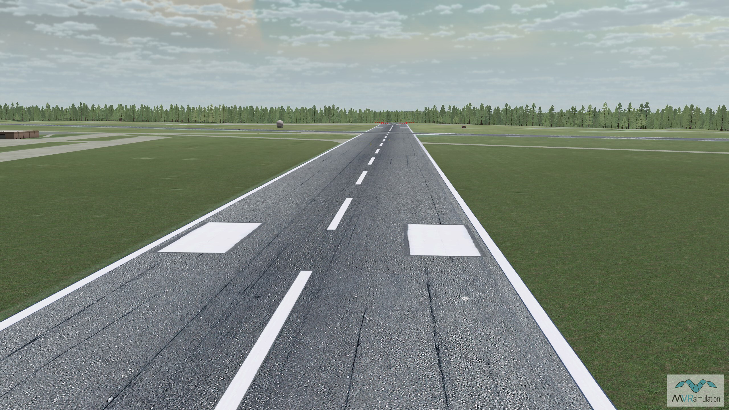
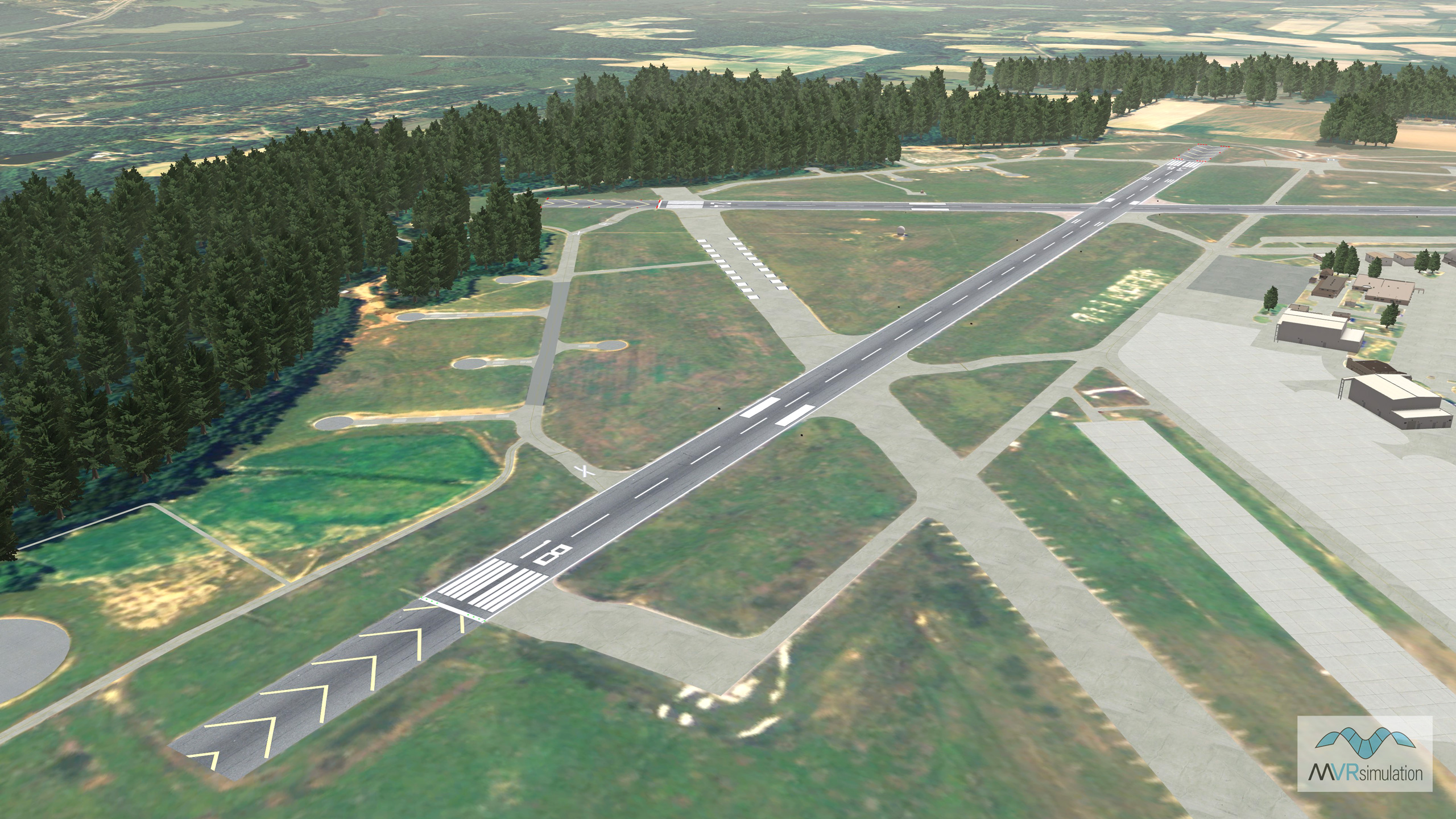
Detail of the runway in VRSG's Fort Rucker terrain dataset.
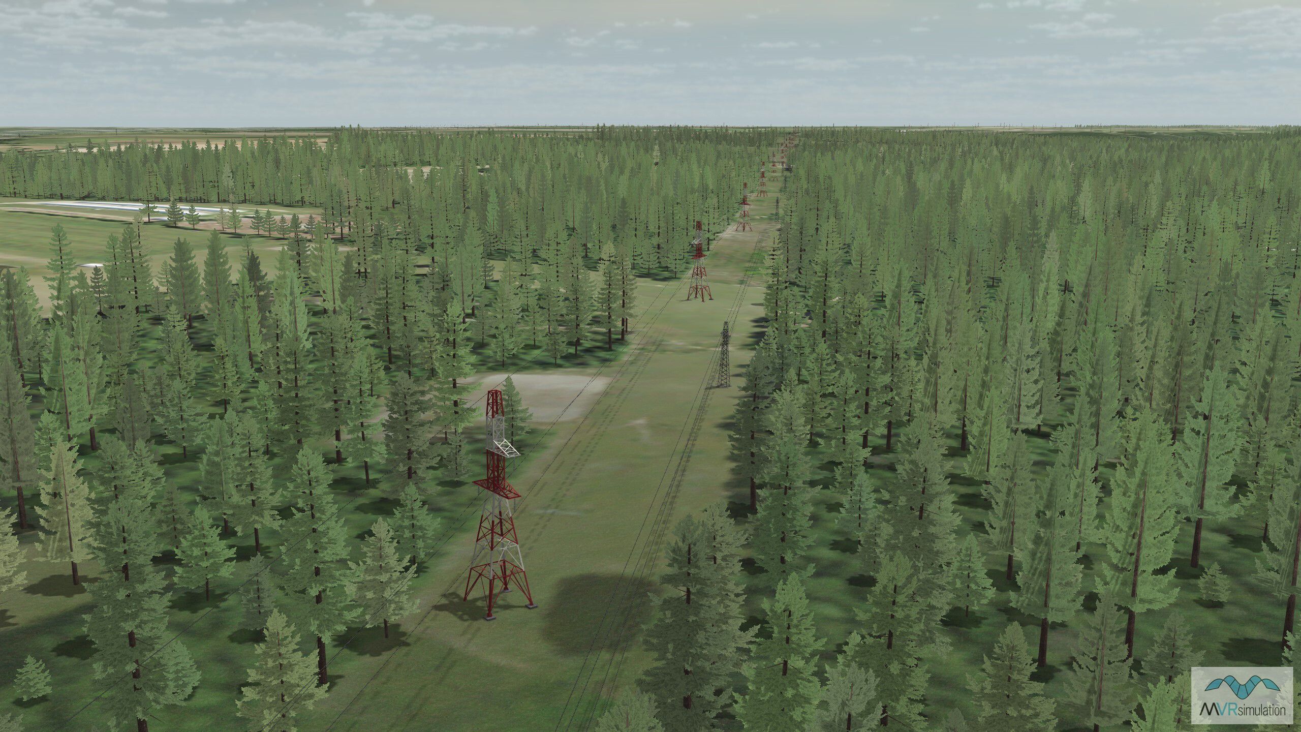
Detail of powerlines and trees in VRSG's Fort Rucker terrain.
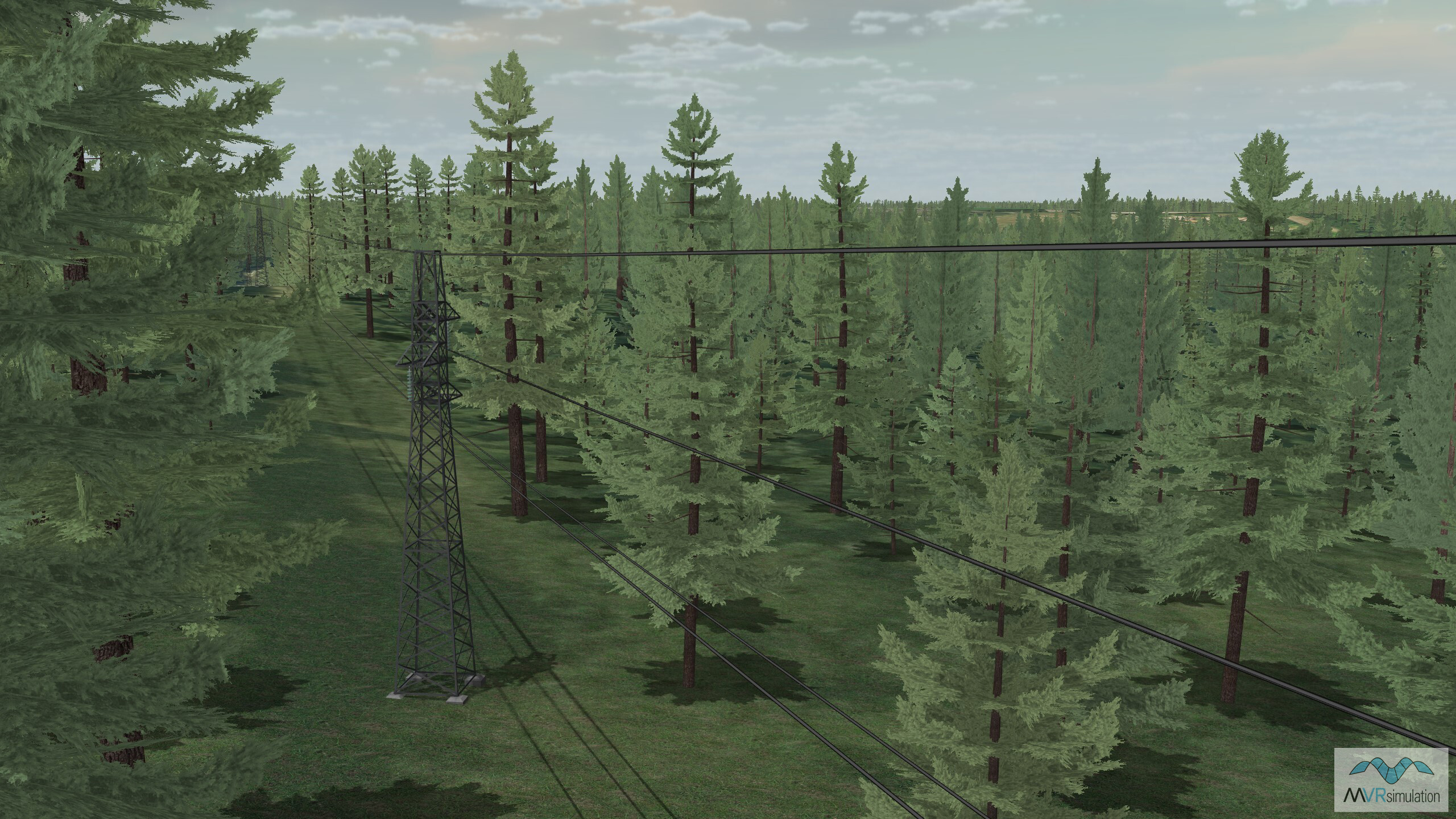
A view of powerlines among the trees in VRSG's Fort Rucker terrain.
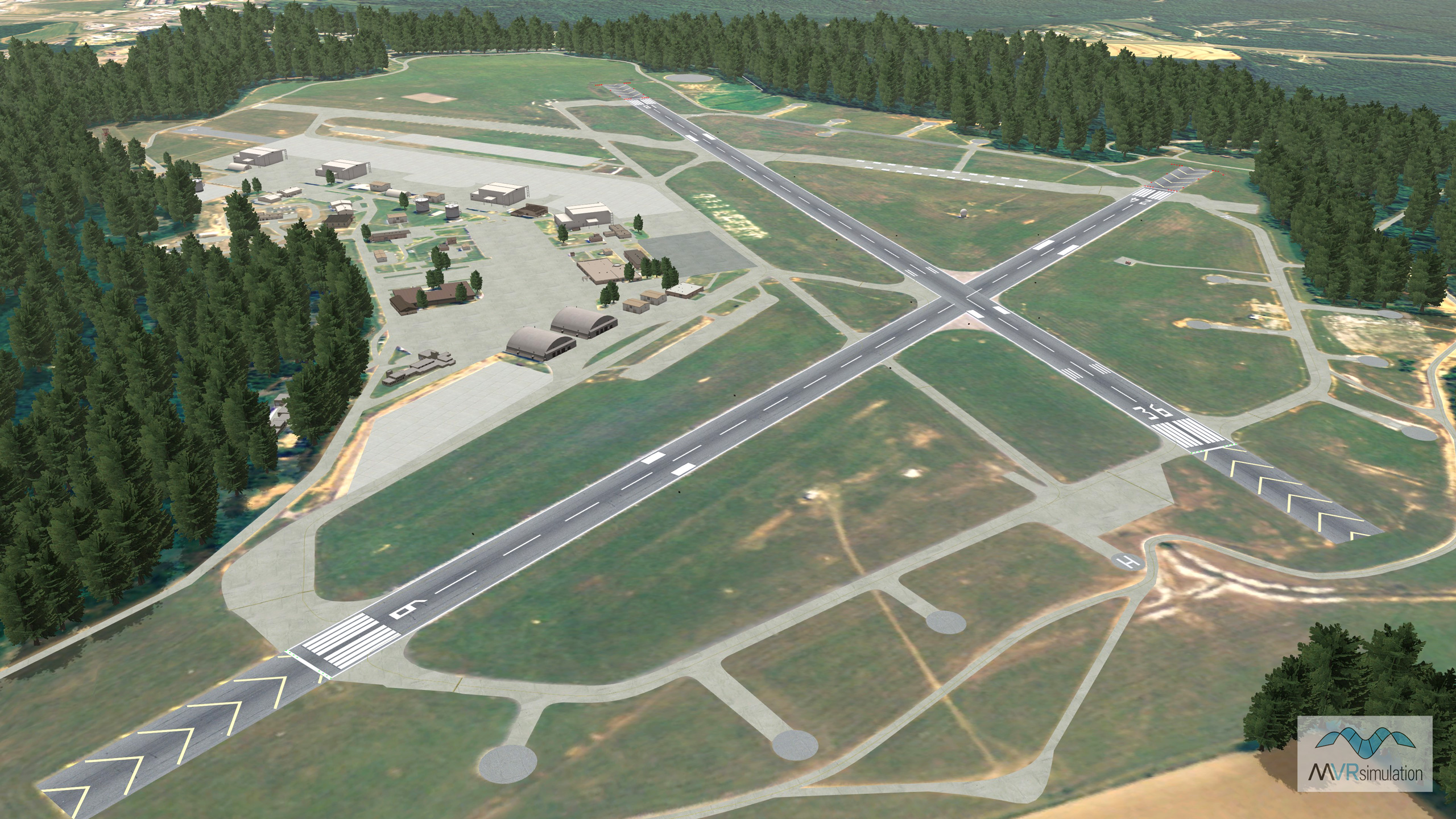
Virtual Fort Rucker Cairns Army Airfield (KOZR), Dale County, AL.
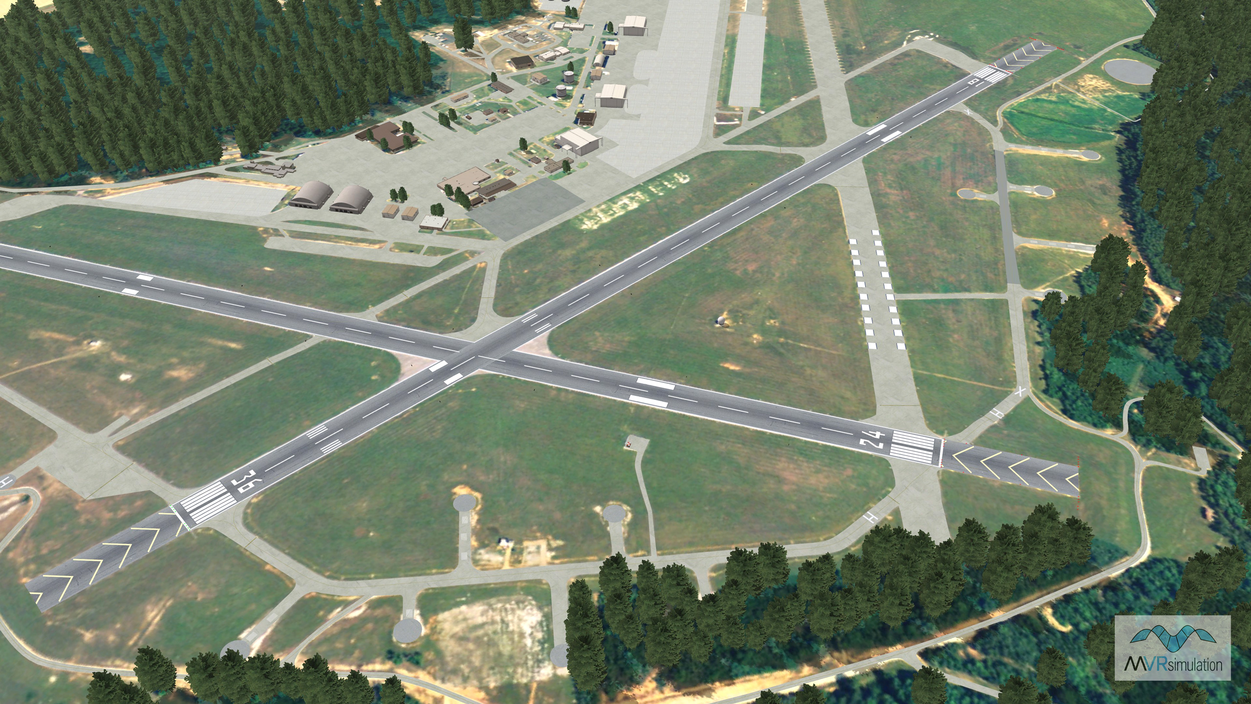
Virtual Fort Rucker Cairns Army Airfield (KOZR) runway area.
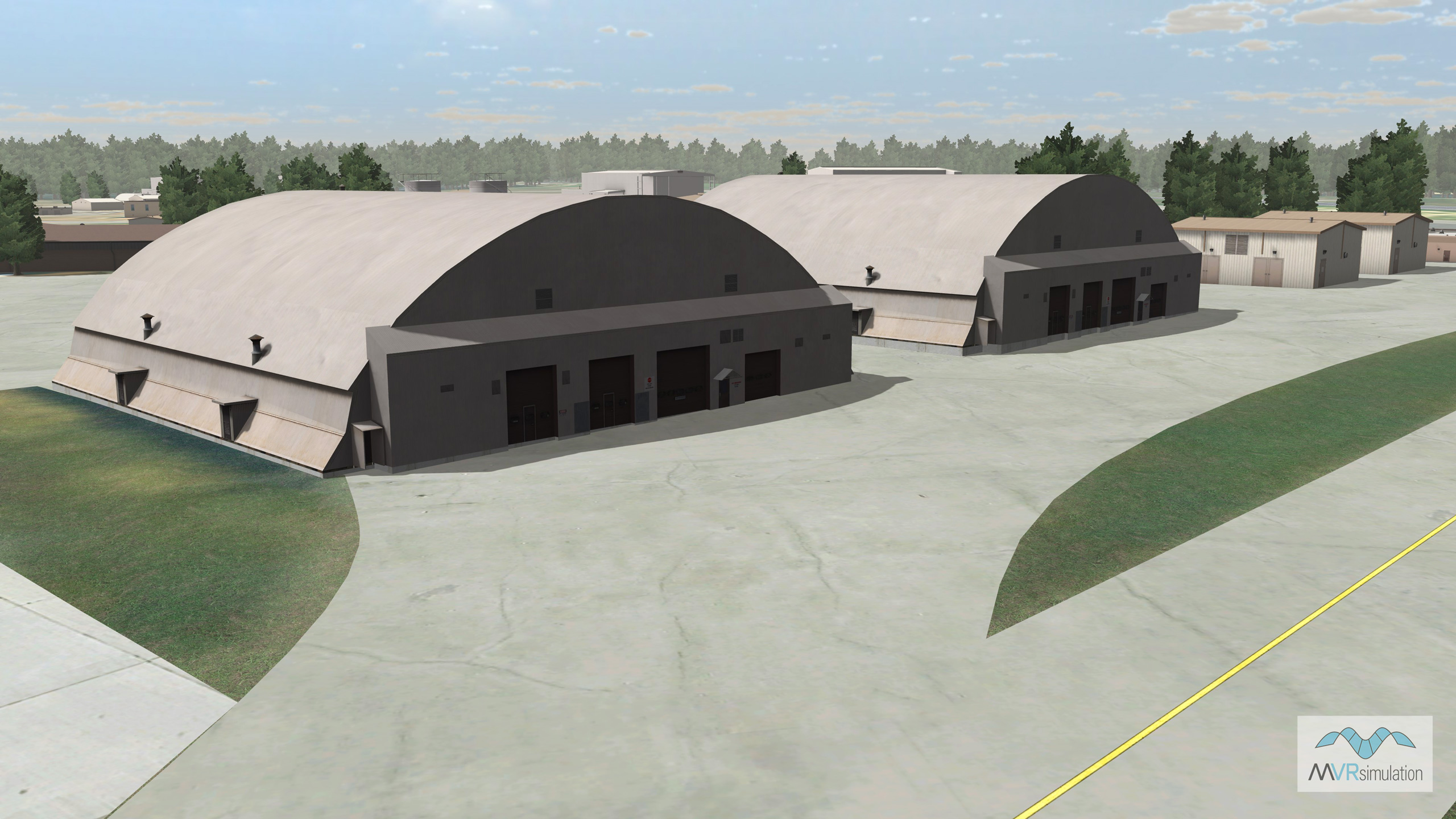
MVRsimulation VRSG real-time rendering of cultural content on virtual Ft Rucker Cairns KOZR Airfield.
MVRsimulation VRSG real-time rendering of cultural content on virtual Ft Rucker Cairns KOZR Airfield.
- Imagery - 1 mpp imagery
- Elevation - 30 mpp elevation posting
- Cultural features - Runway, runway lights, hangars, trees
- Powerlines - Using the Terrain Tools extension, OSM-derived polylines were referenced to place 3D powerline models along the lines surrounding Fort Rucker airport, with a spacing parameter applied for model placement. OSM attributes, such as voltage (Hz), were used to select the corresponding model for each segment.