
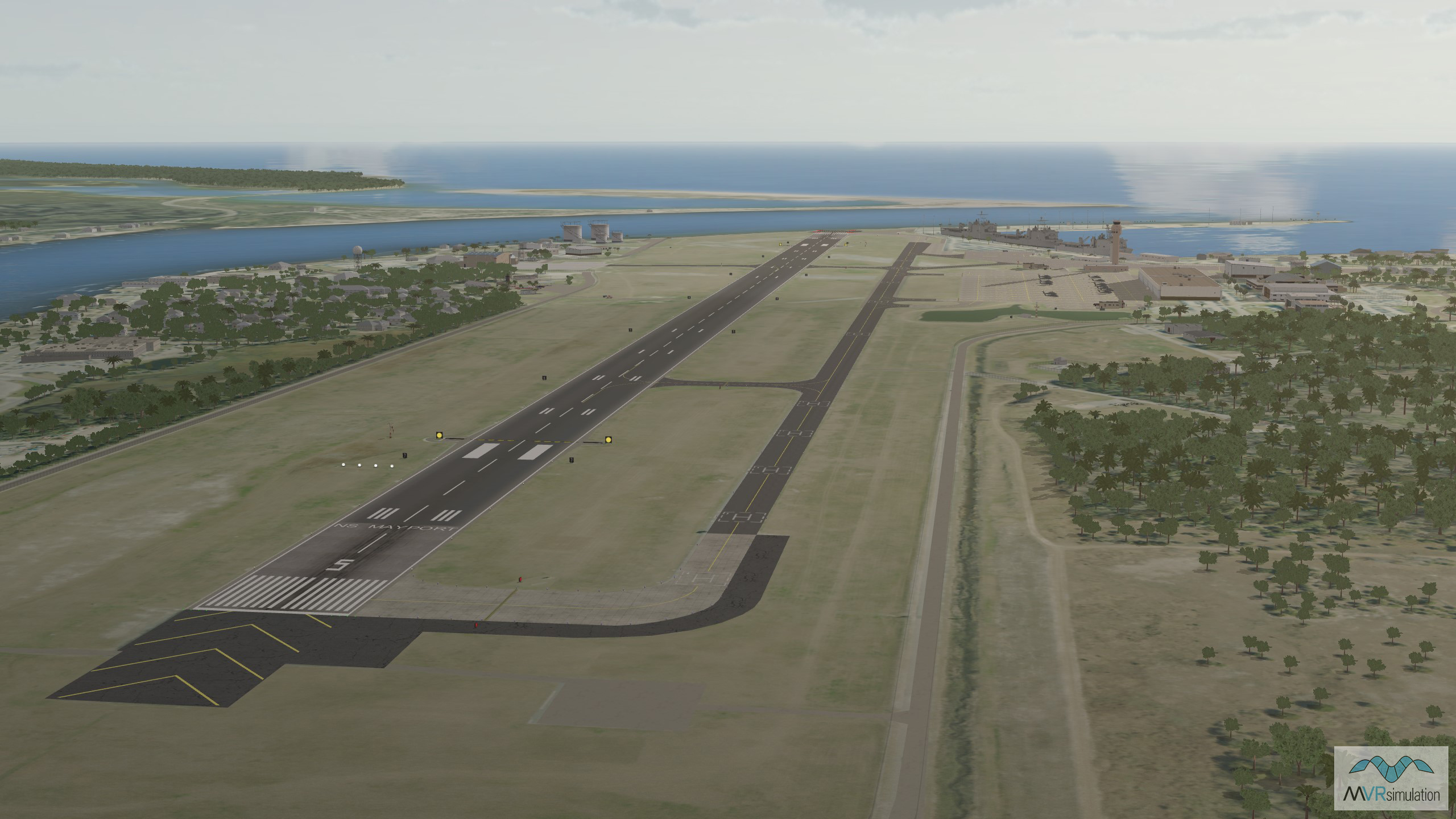
A view of the runway in VRSG's 3D terrain database of Mayport Naval Station, compiled using 10-meter resolution elevation data from the NED USGS.
Runway view of VRSG's 3D terrain database of Mayport Naval Station, Florida.
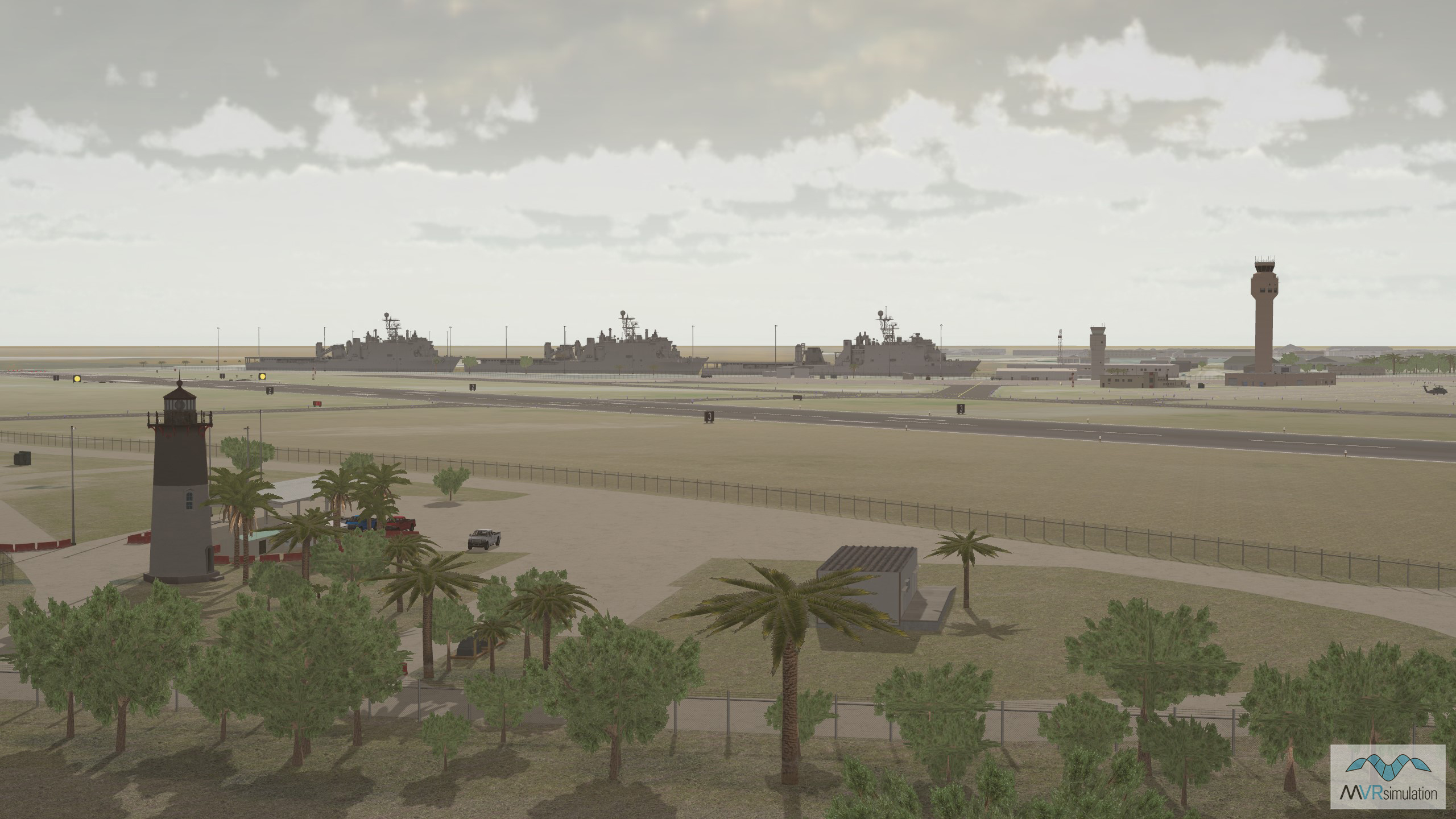
Real-time 3D models of U.S Navy dock landing ships in VRSG's terrain database of Mayport Naval Station.
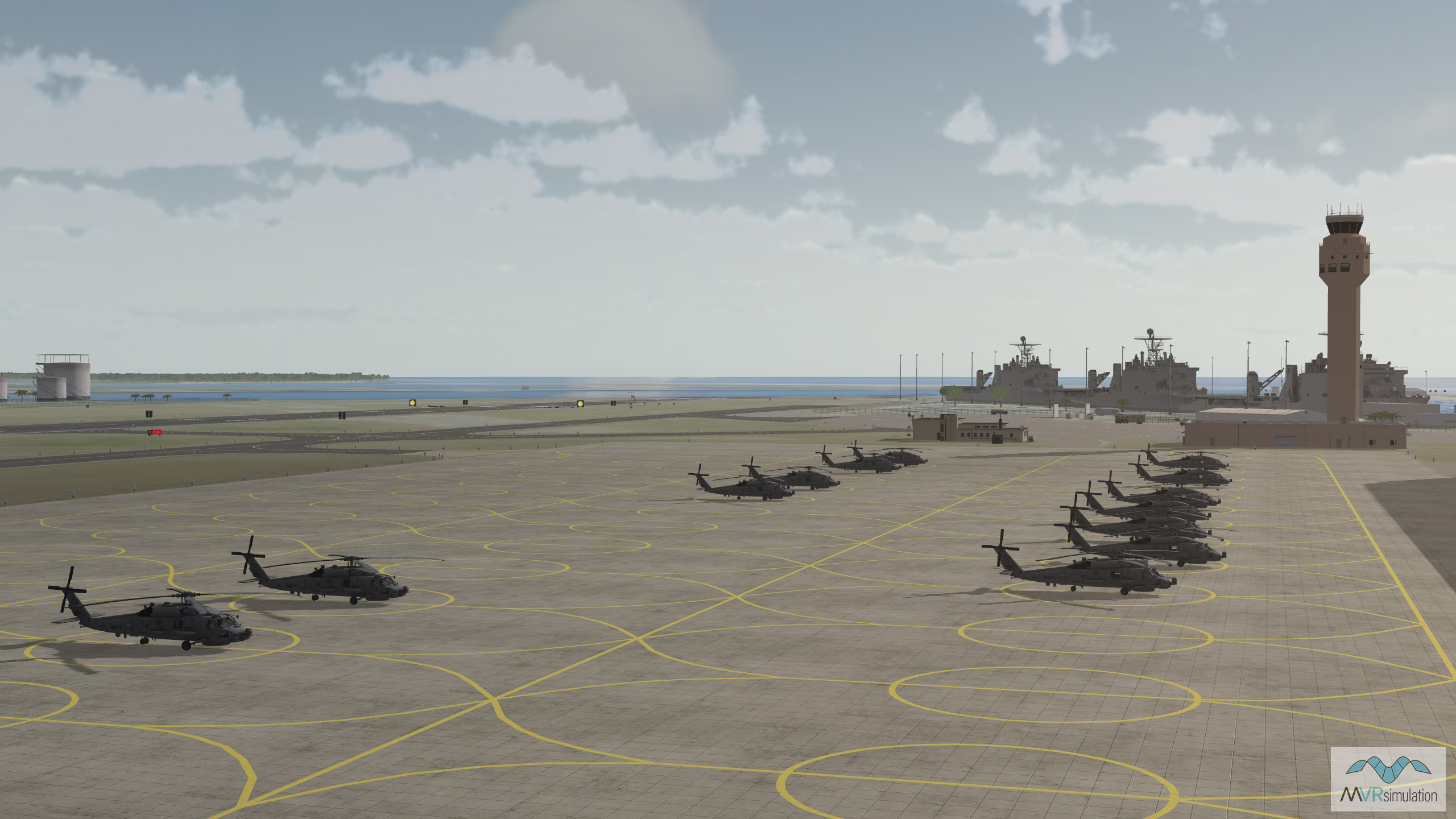
Real-time 3D models of MH-60 Seahawks in VRSG's terrain database of Mayport Naval Station.
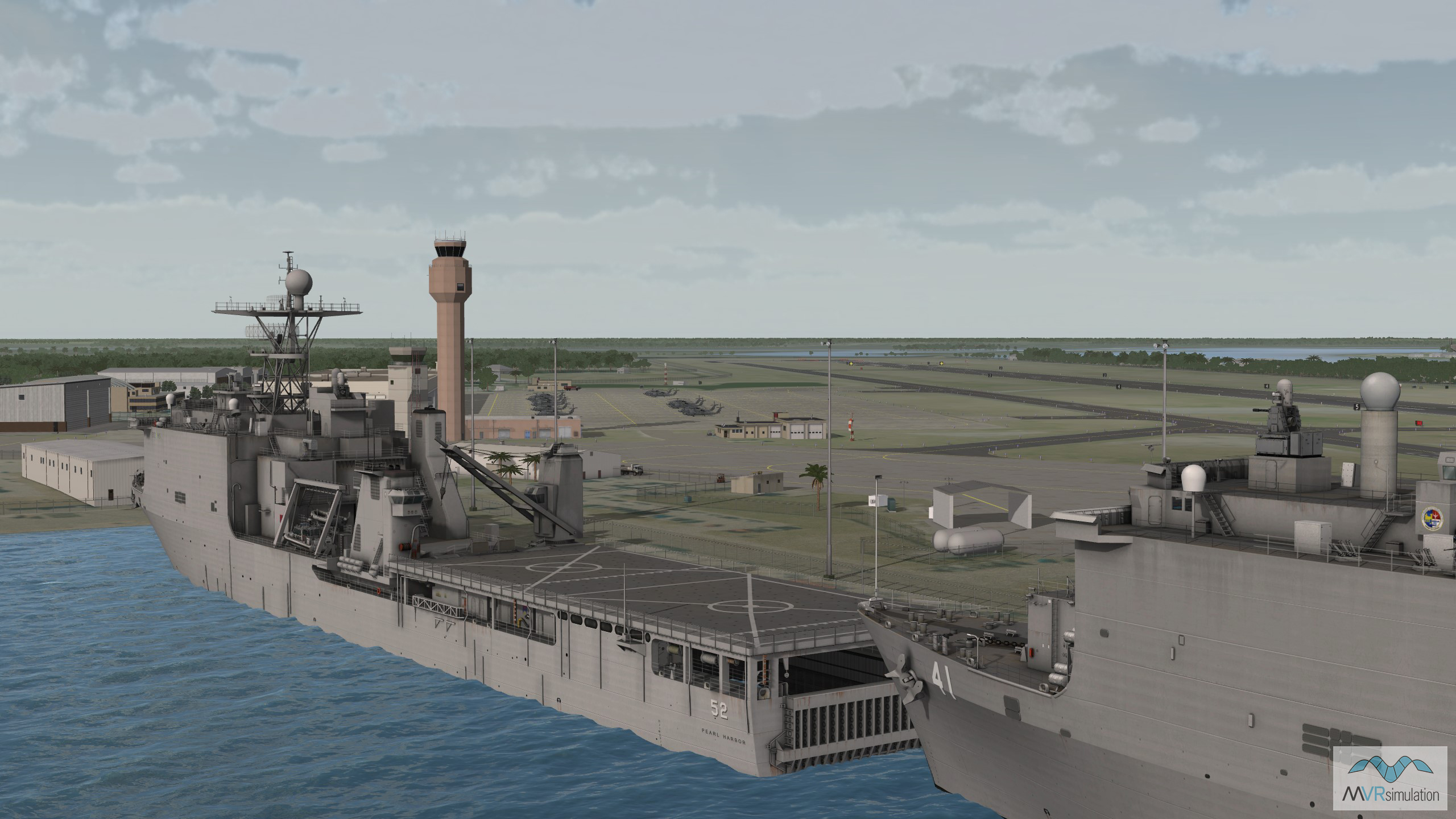
3D real-time model of USS Pearl Harbor, a Harpers Ferry-class dock landing ship, in VRSG's Mayport Naval Station terrain.
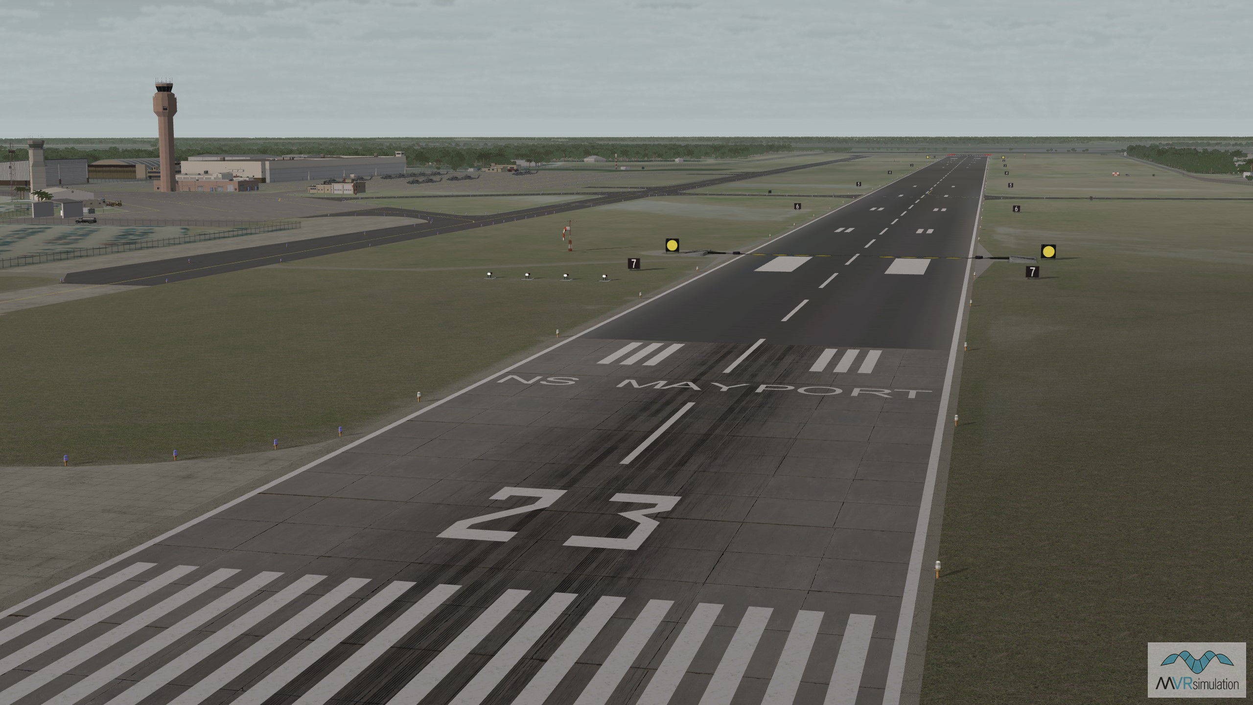
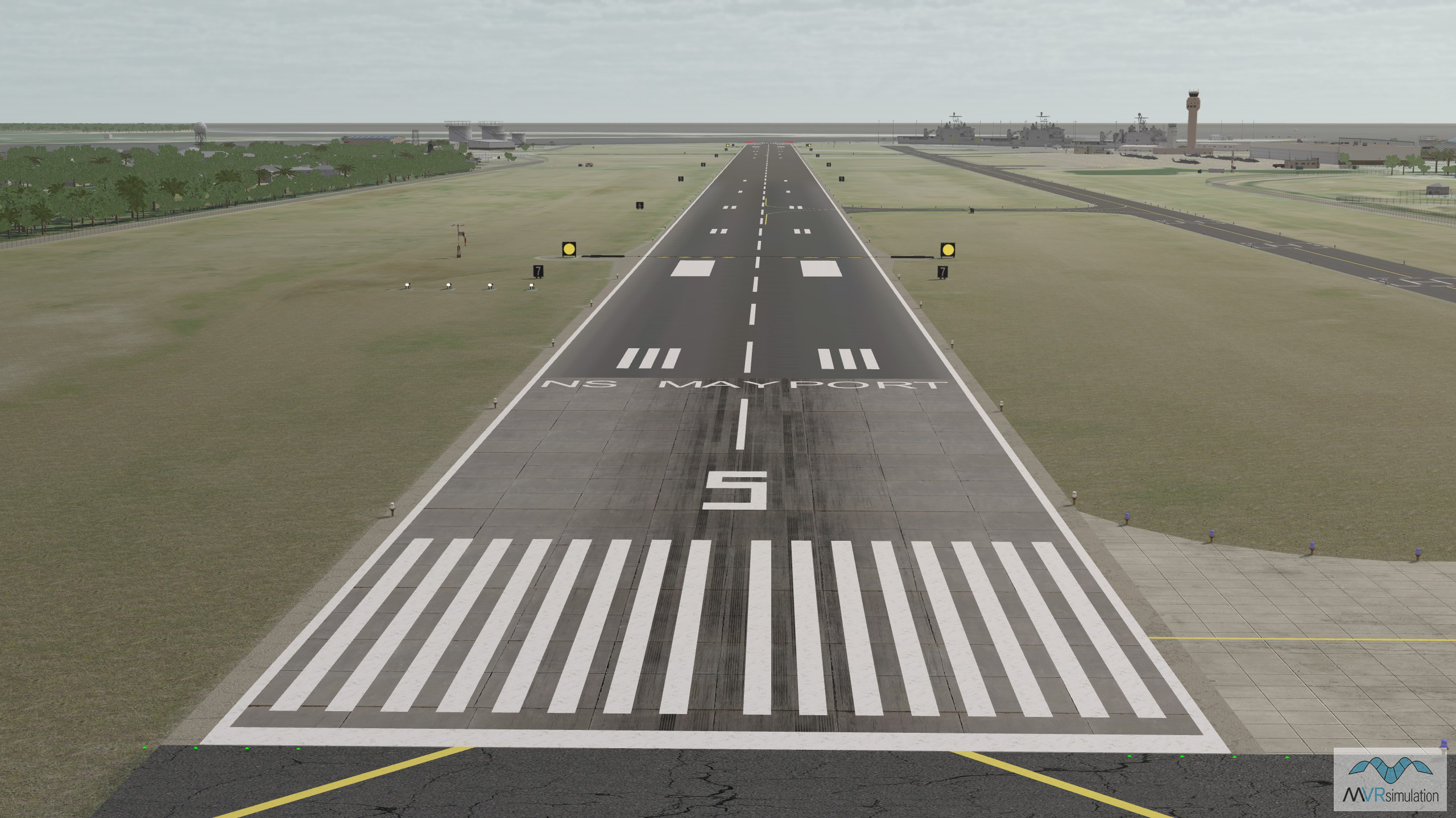
A view of the runway in VRSG's virtual Mayport Naval Station database.
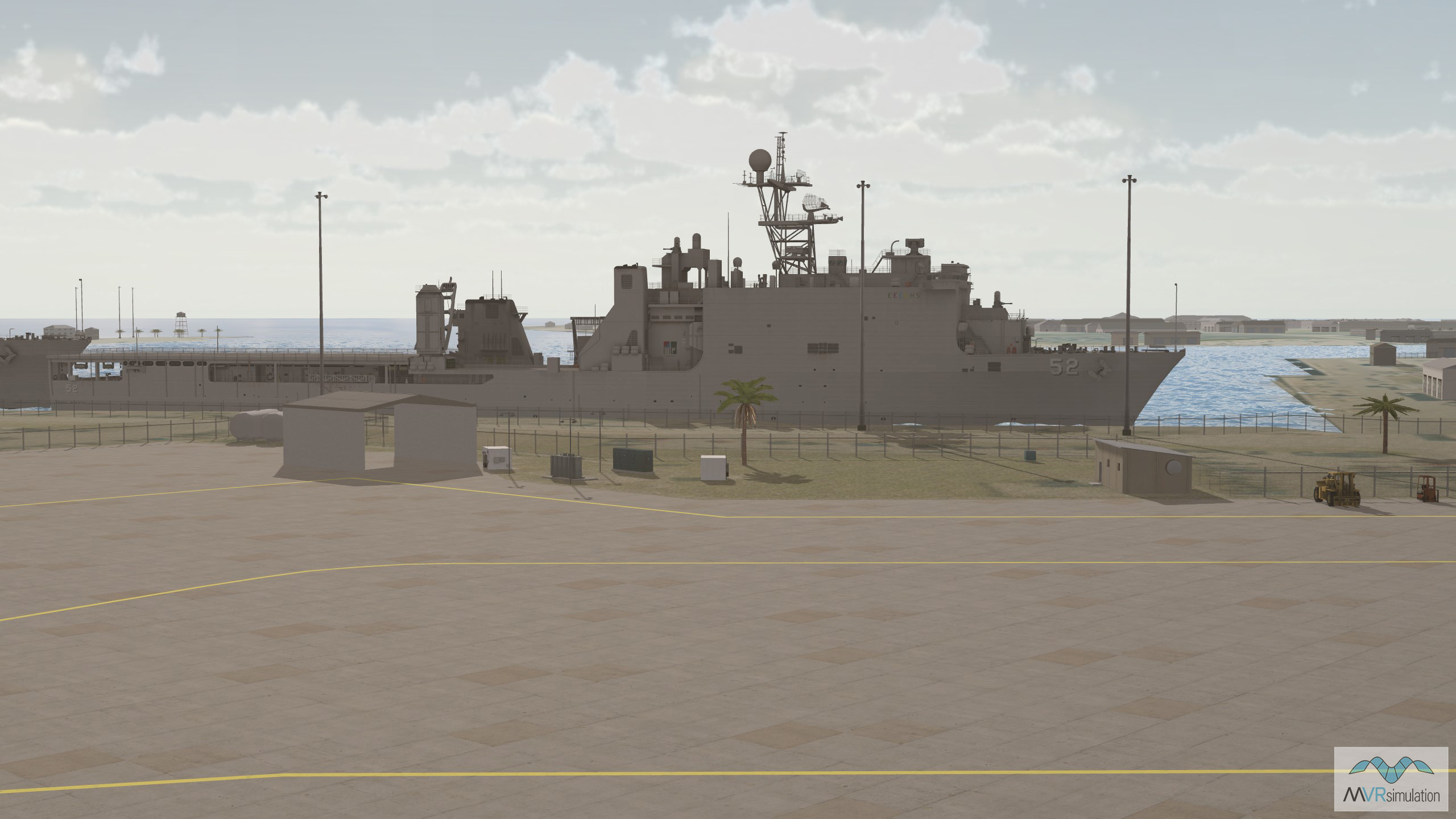
VRSG's high-resolution Mayport Naval Station terrain includes a 3D representation of the ocean shoreline along with bathymetric data of the port.
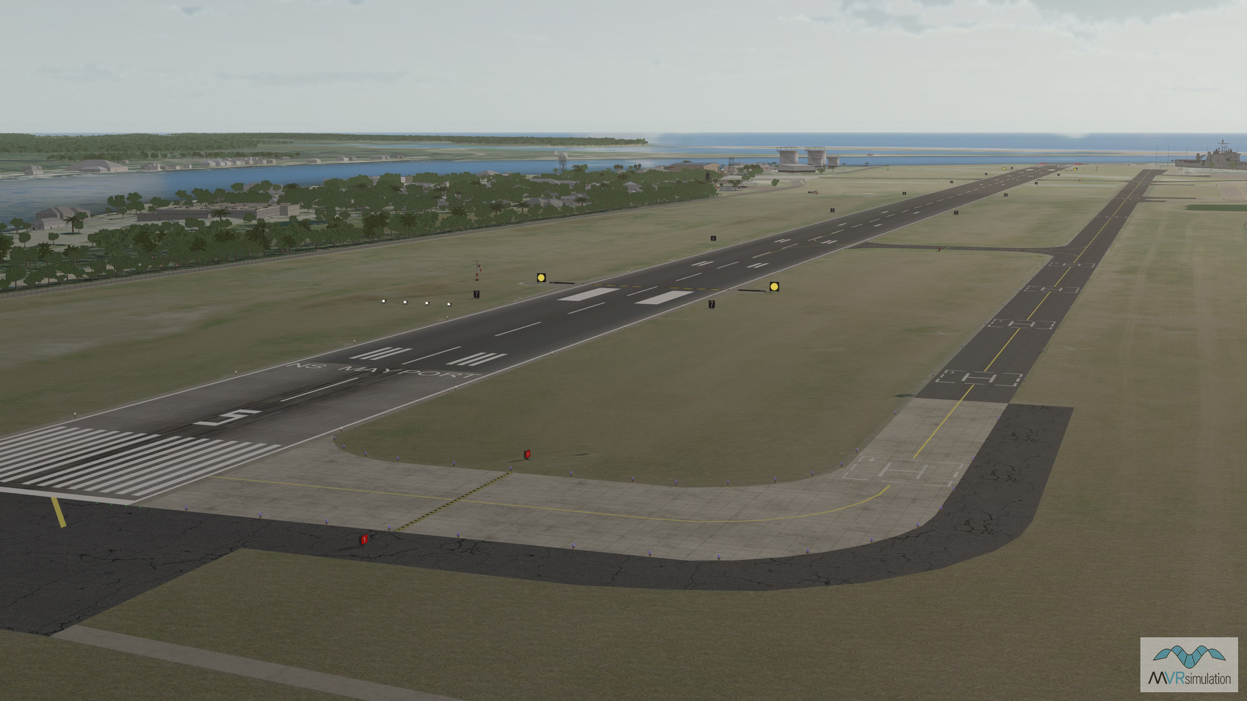
MVRsimulation's virtual Mayport Naval Station terrain includes models of runway lighting, navigational signs, taxiways, windsocks, and tarmacs.
- Elevation Data - Terrain based on 10-meter resolution elevation data from the NED USGS, providing a detailed and accurate topography with 10-meter post spacings
- Imagery - High-resolution 30 cm imagery of the airport, seamlessly blended with 1-meter resolution NAIP imagery for the surrounding areas
- 3D Ocean Shoreline and Bathymetry - 3D representation of the ocean shoreline along with bathymetric data of the port
- Runway Model - Models of runway lighting, navigational signs, taxiways, windsocks, and tarmacs
- Cultural features - Models from VRSG’s Model Library were placed surrounding the airport including geotypical hangars and a control tower
- Tree Models - Detailed 3D tree models are integrated into the terrain surrounding the base to reflect the natural landscape
- CityEngine Buildings - Buildings within the surrounding areas were extruded using CityEngine from OpenStreetMap building footprints.