Holloman Air Force Base (KHMN) Terrain Database Information
- Imagery: 30cm
- Elevation: NED 10m
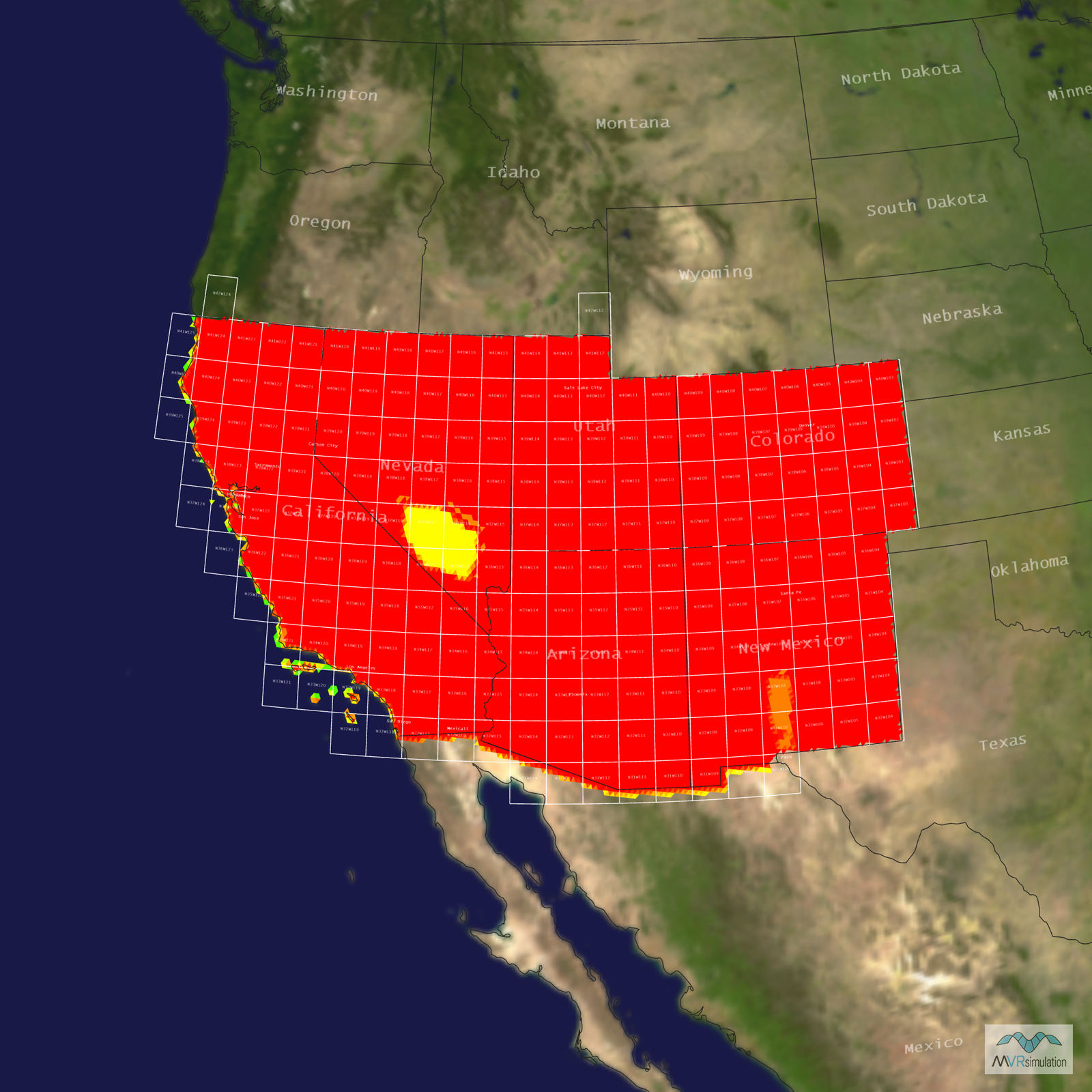
- Terrain Drive: CONUS Southwest
- Cultural Features: CityEngine/Geotypical Buildings, Control Tower, Hangars, Landscape Features (Shrubs, Grass, Paved Medians, etc.), Lighting for Non-Runway Areas (Streetlights), Military Specific Elements (Shelters, Bunkers, Watchtowers, etc.), Navigation Aids, Roads, Runway, Runway Lights, Signs, Taxiways and Associated Markings, Trees, Windsocks
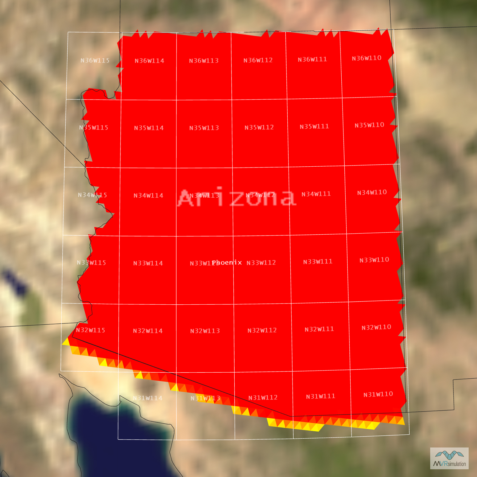
Tile Coverage Map
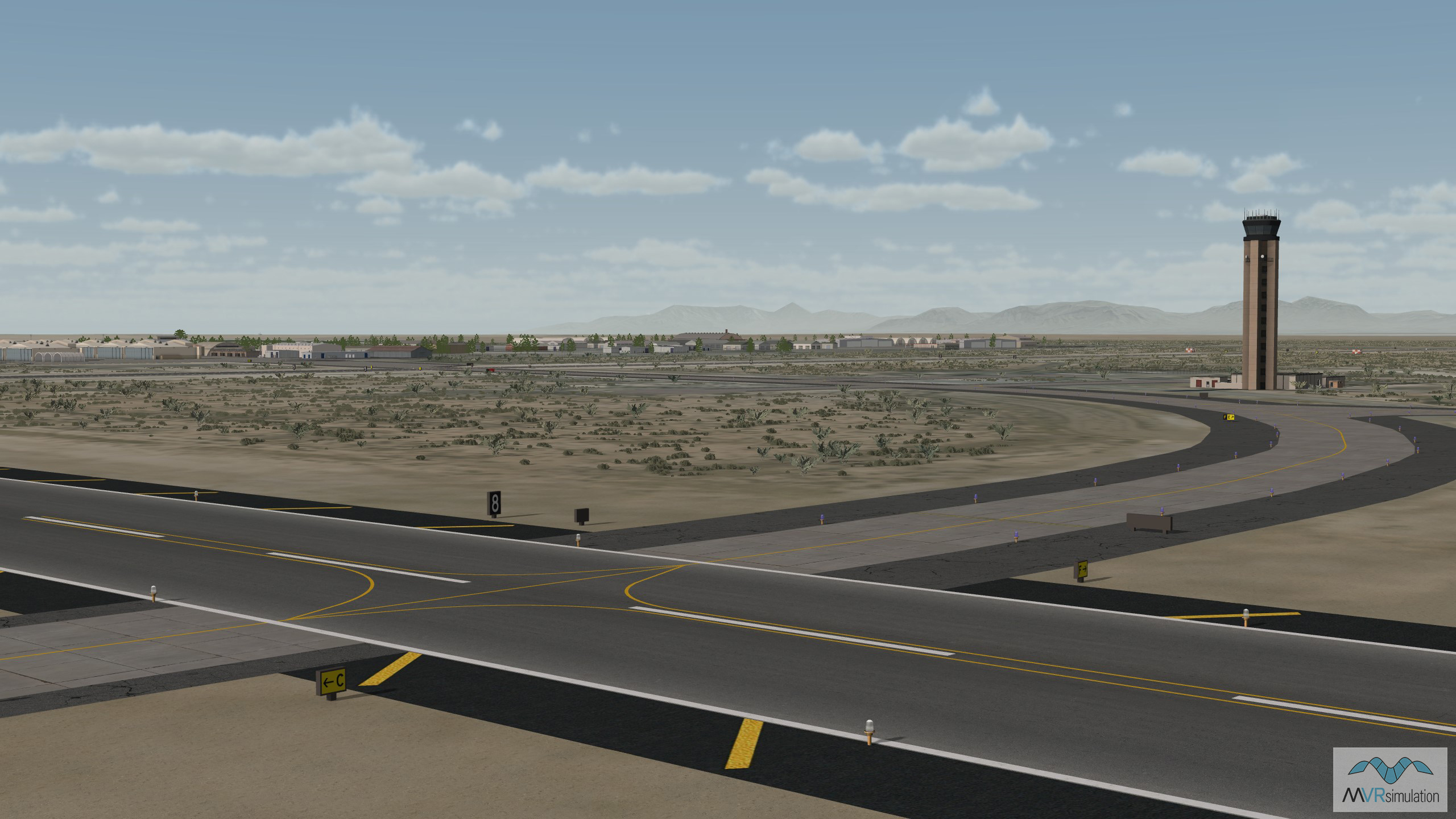
VRSG's 3D terrain database of Holloman Air Force Base, New Mexico, includes a model of the airport's control tower.
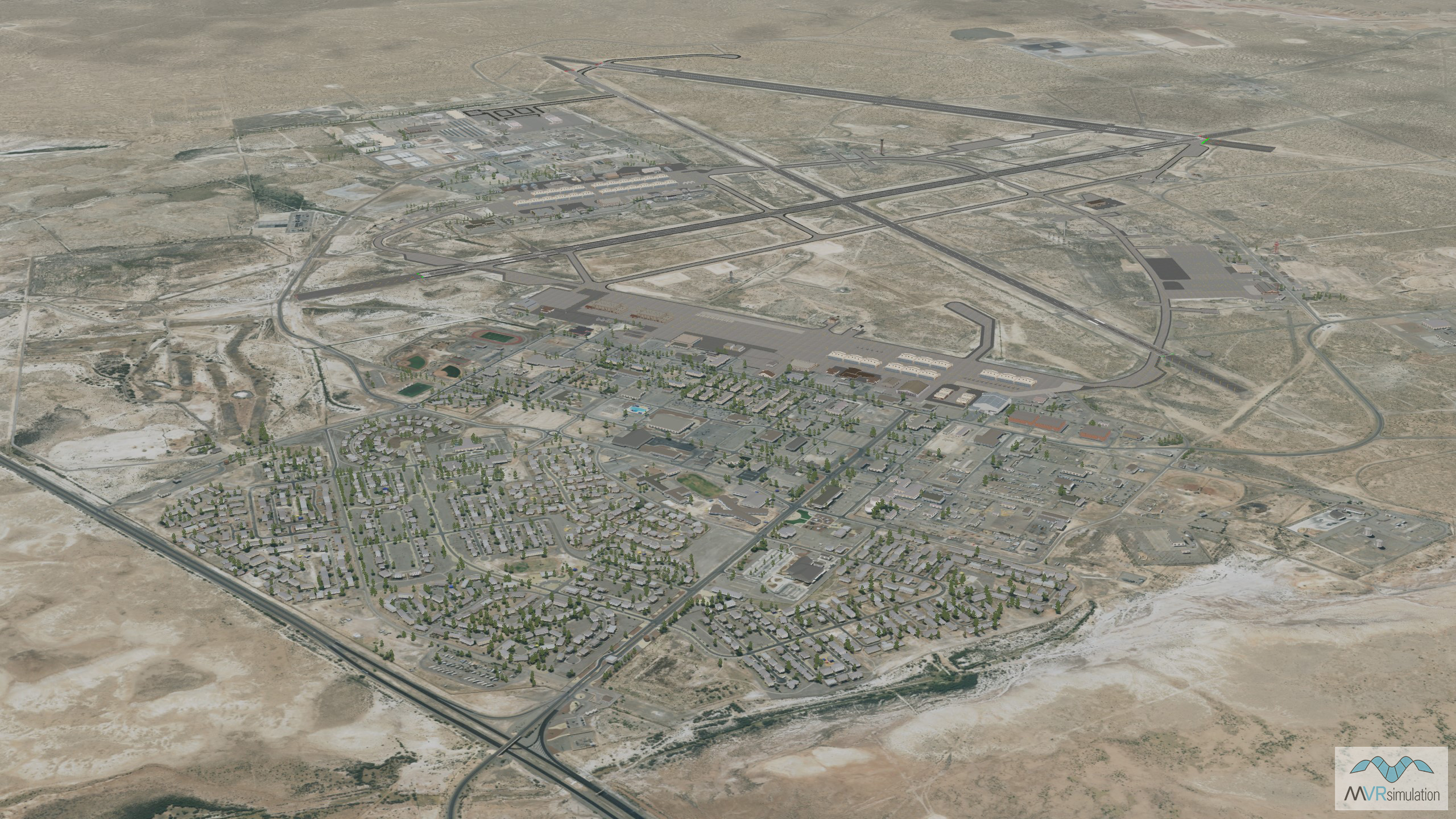
The MVRsimulation 3D terrain database of Holloman Air Force Base, New Mexico, was compiled using high-resolution 30 cm imagery of the base.
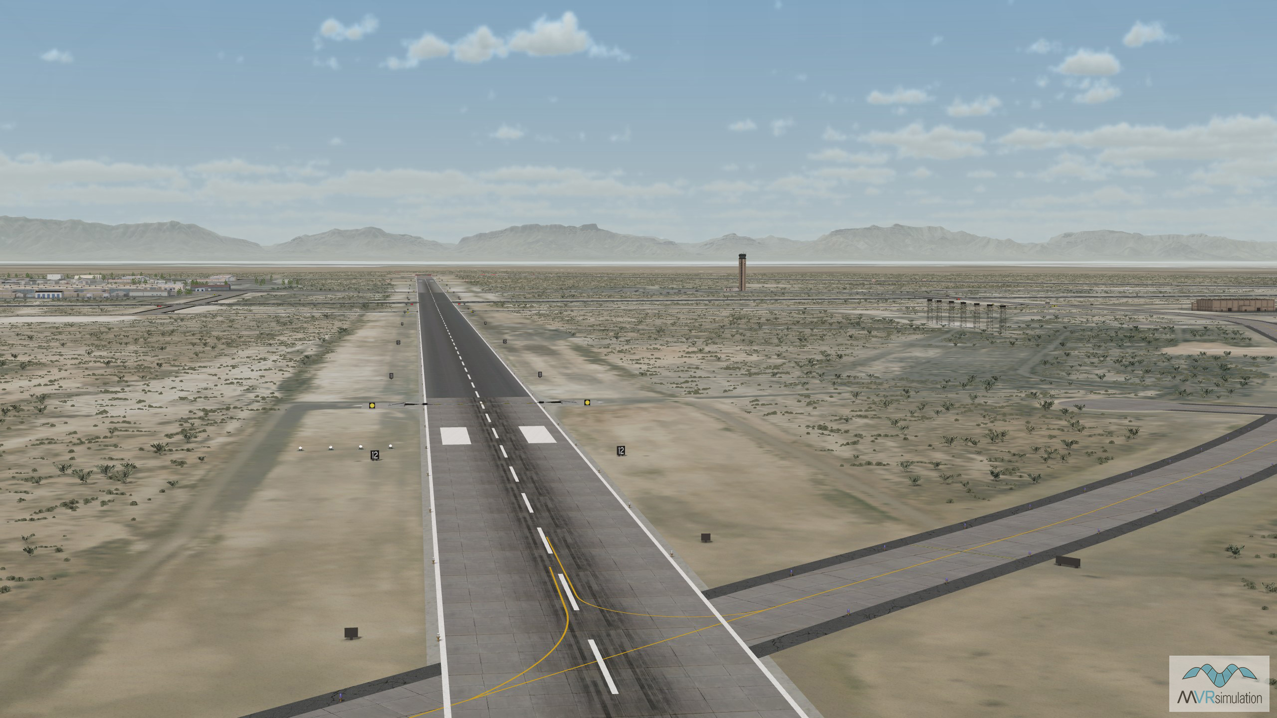
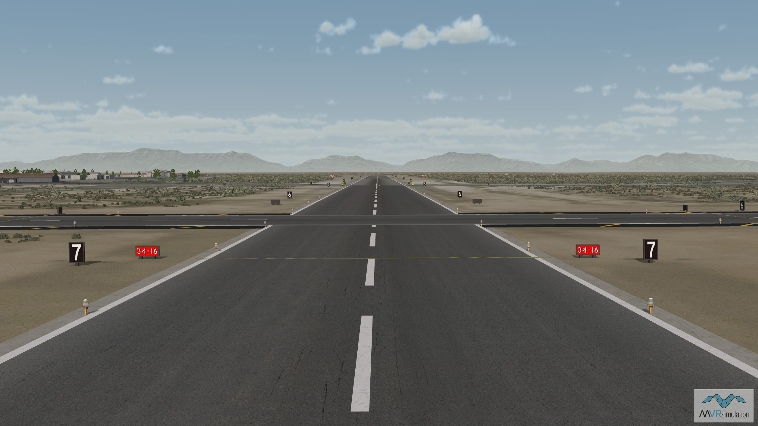
VRSG's 3D terrain database of Holloman Air Force Base in New Mexico includes three modeled runways.
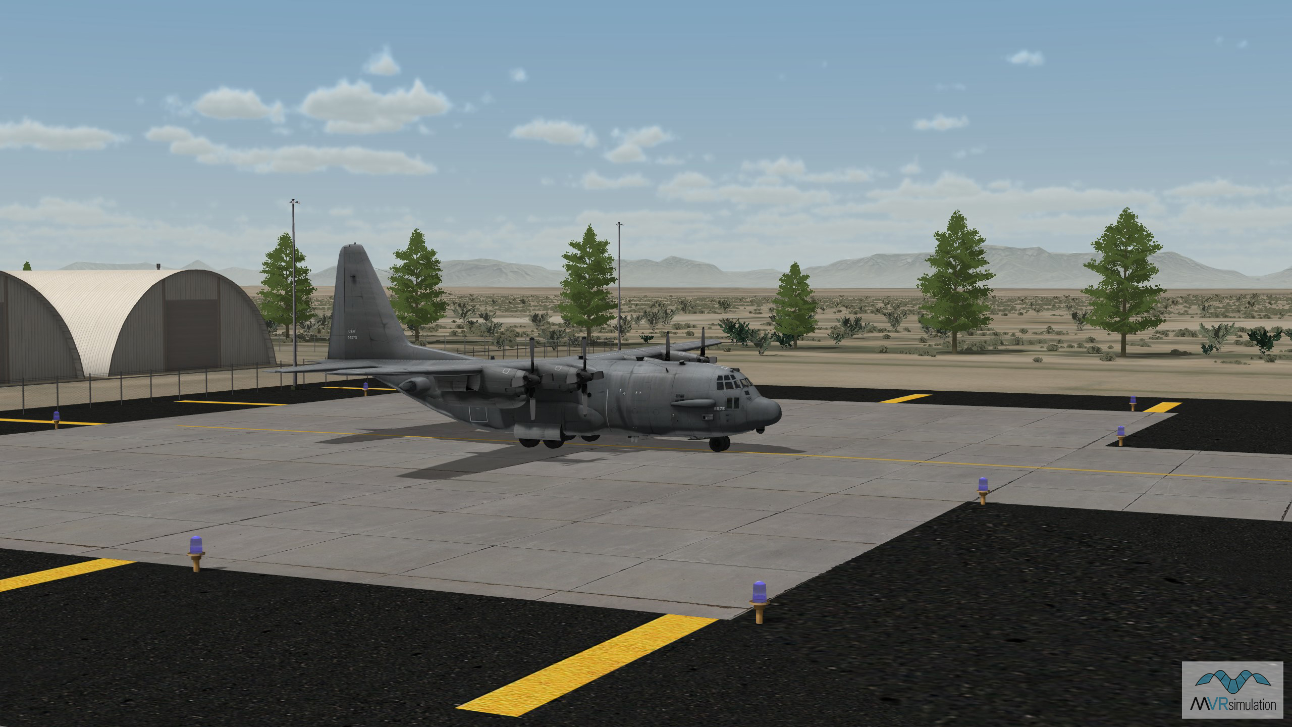
Geotypical hangars in VRSG's Holloman Air Force Base terrain.
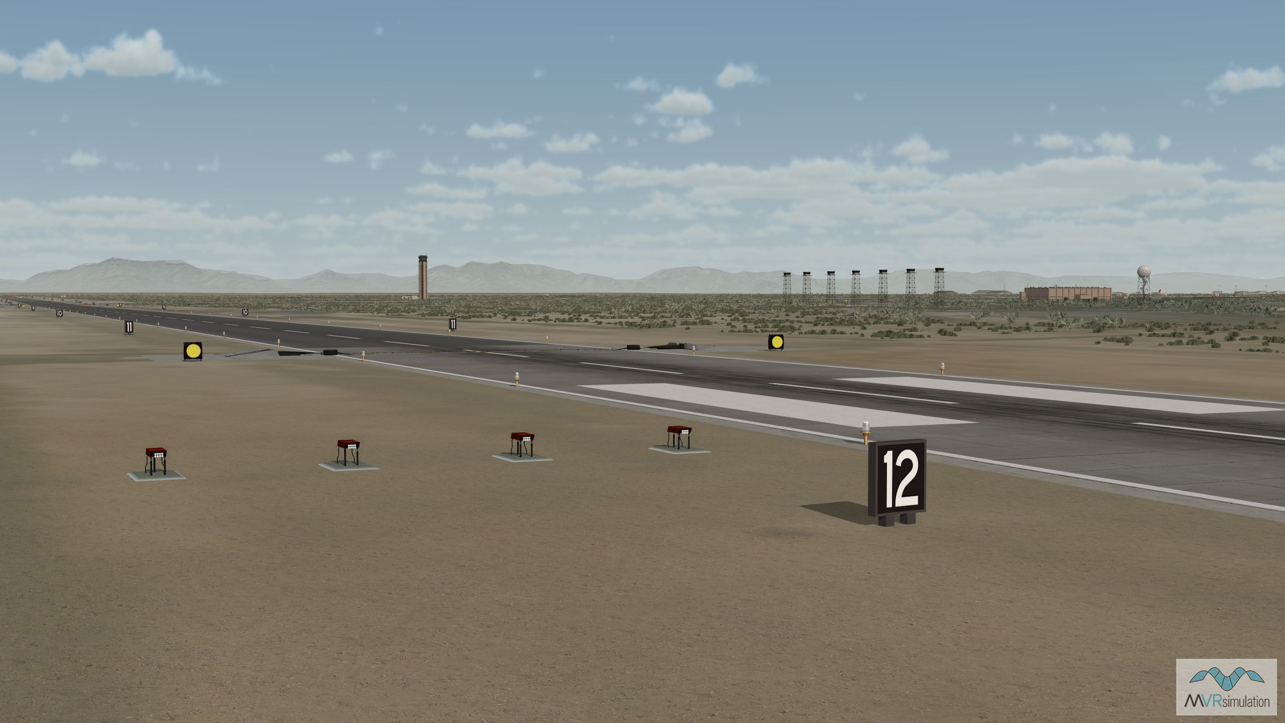
Navigational signs along the runway in VRSG's Holloman Air Force Base database.
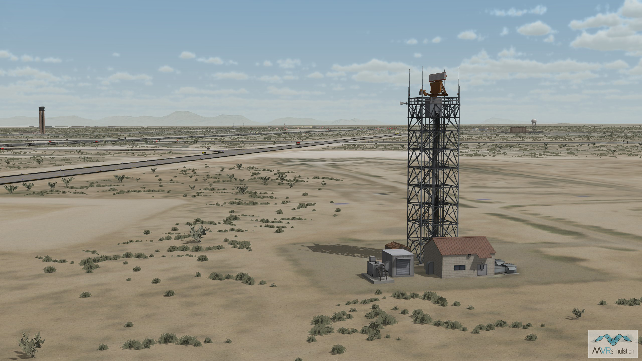
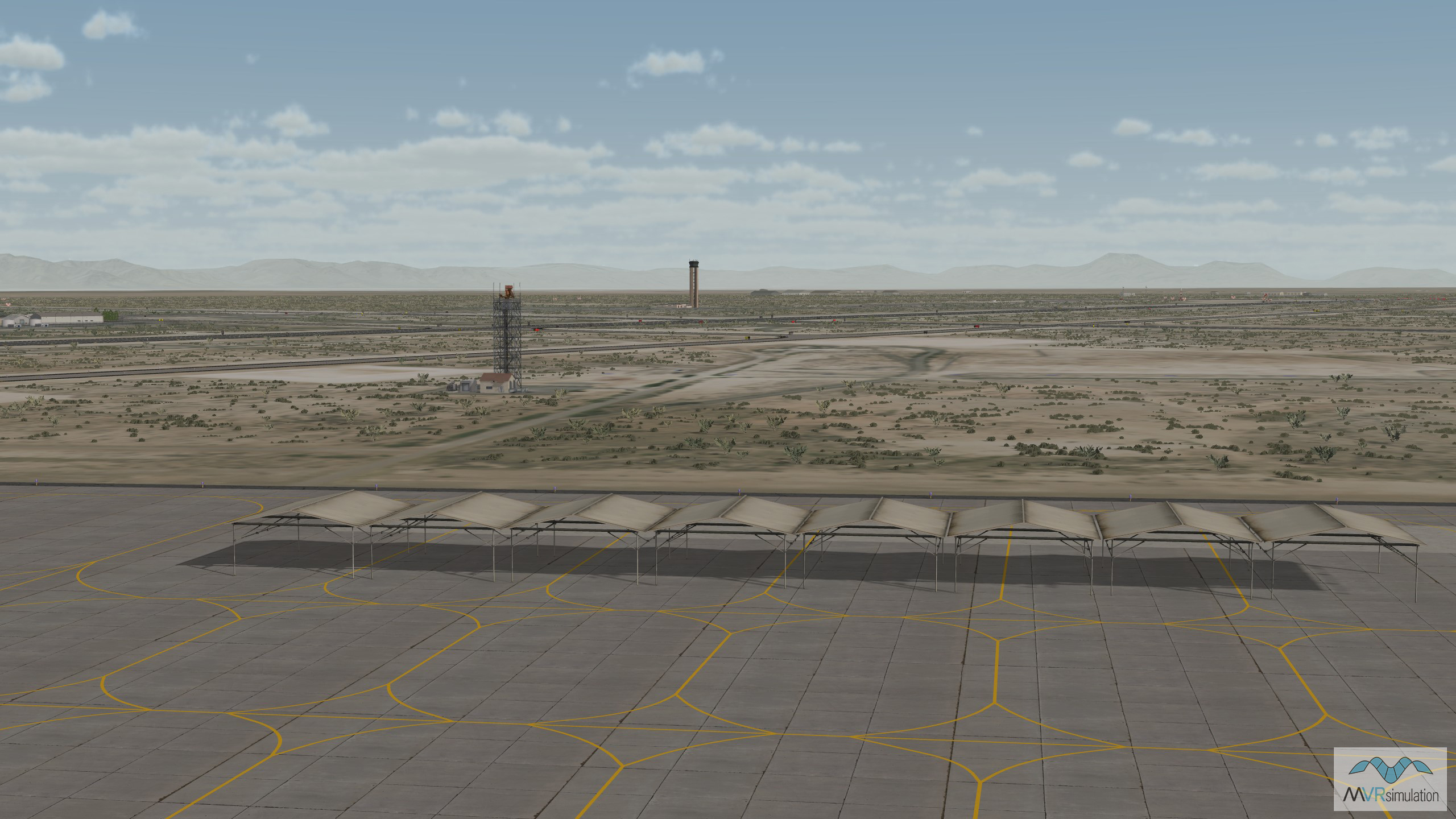
Detail of a radar tower in VRSG's virtual Holloman AFB database.
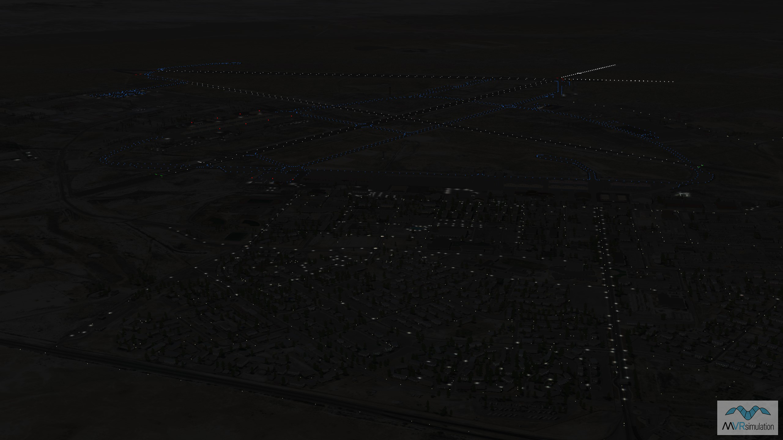
A night scene showing VRSG's 3D terrain database of Holloman Air Force Base, New Mexico.