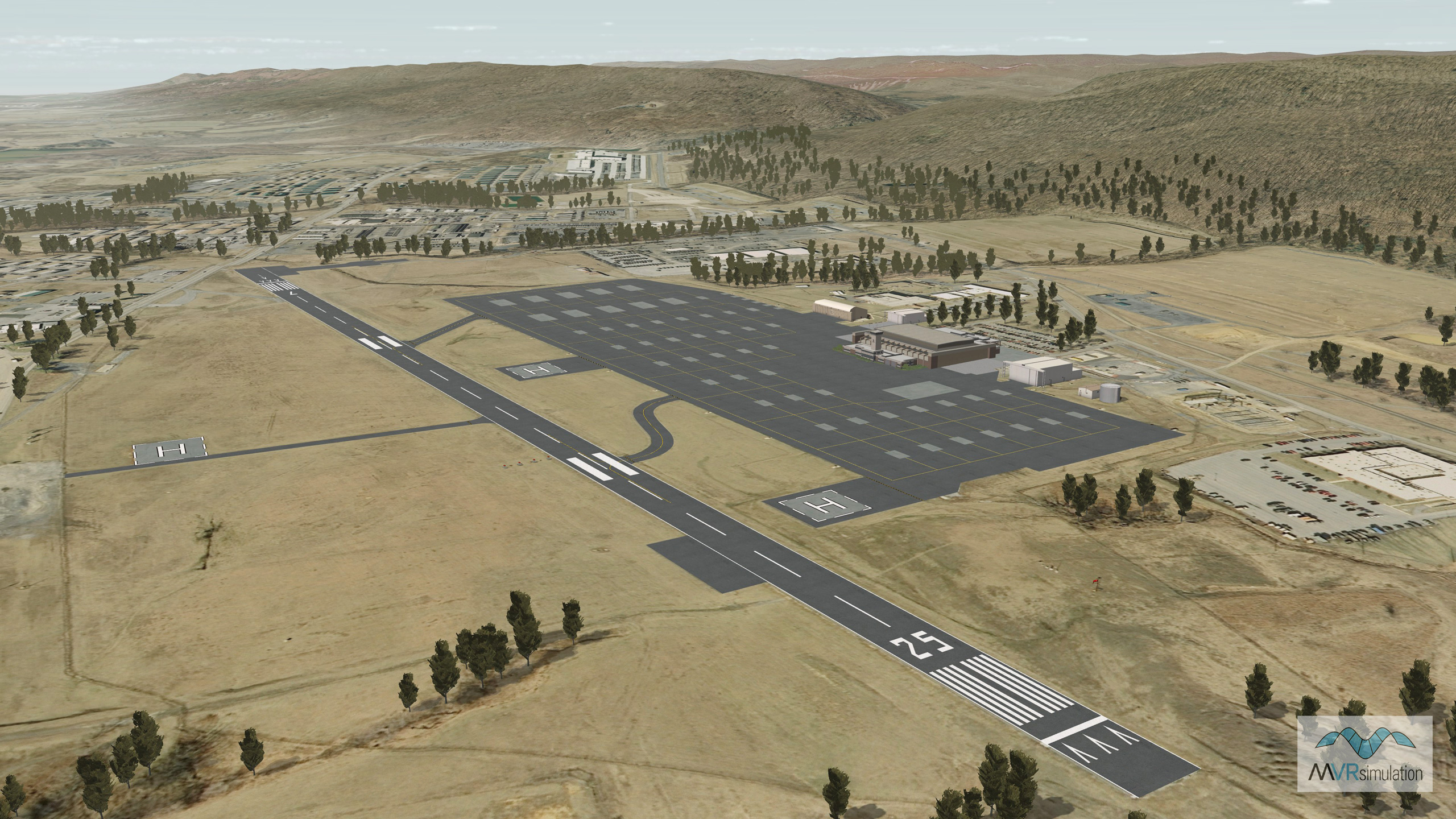
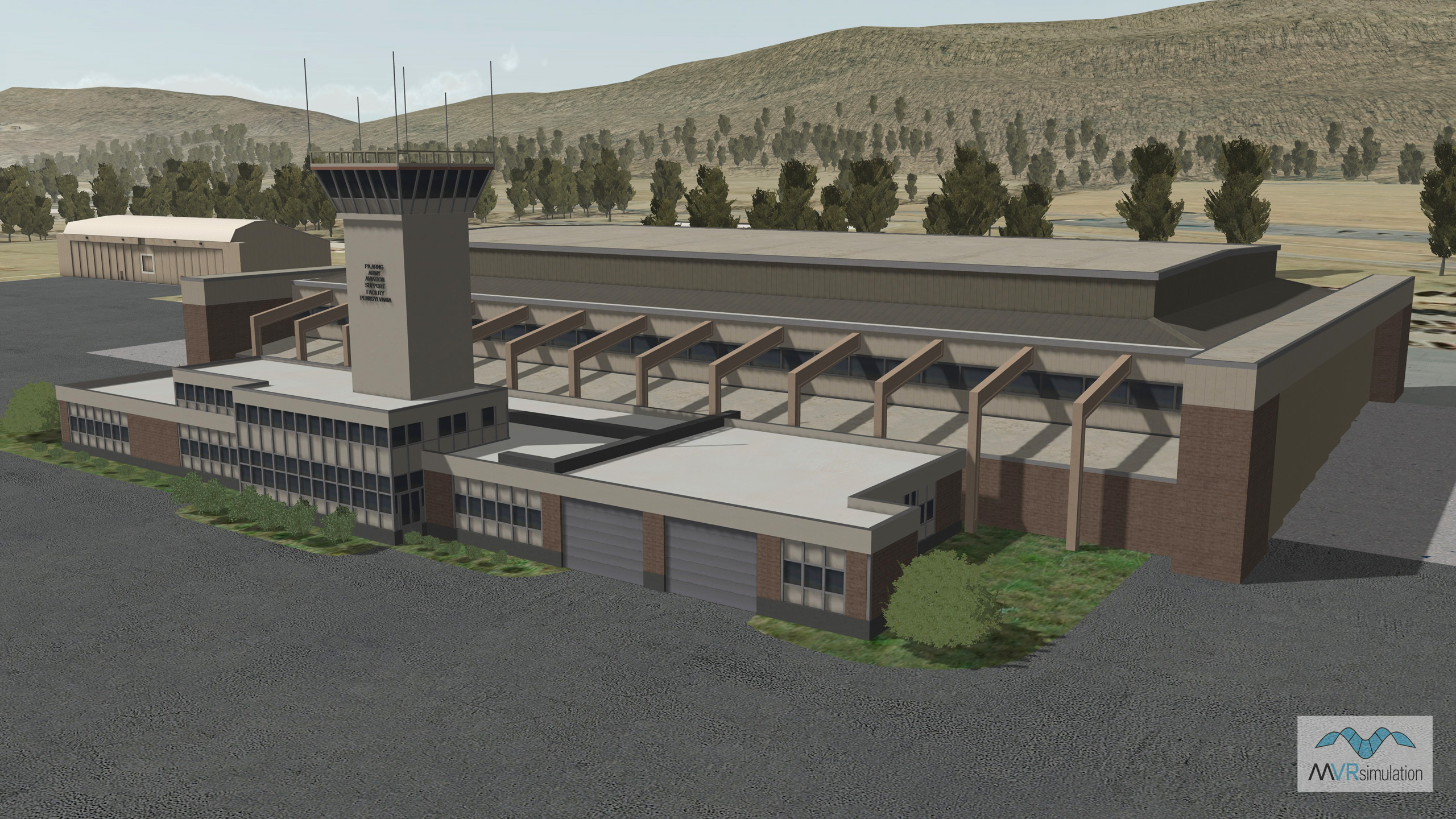
MVRsimulation VRSG real-time scene of the Muir Army Airfield (KMUI), Fort Indiantown Gap, PA.
MVRsimulation VRSG real-time scene of the Muir Army Airfield (KMUI) runway with a geospecific control tower, three helipads, and other cultural content.
MVRsimulation VRSG real-time scene of the Muir Army Airfield (KMUI) with a geospecific control tower, three helipads, and other cultural content.
- Imagery - 0.30 mpp imagery of the Muir AAF, blended into 1 mpp imagery surrounding the area
- Elevation - 3 mpp elevation data and DTED 1 surrounding the area, and custom elevation at the airfield to match FAA airfield elevations with at least 95% accuracy
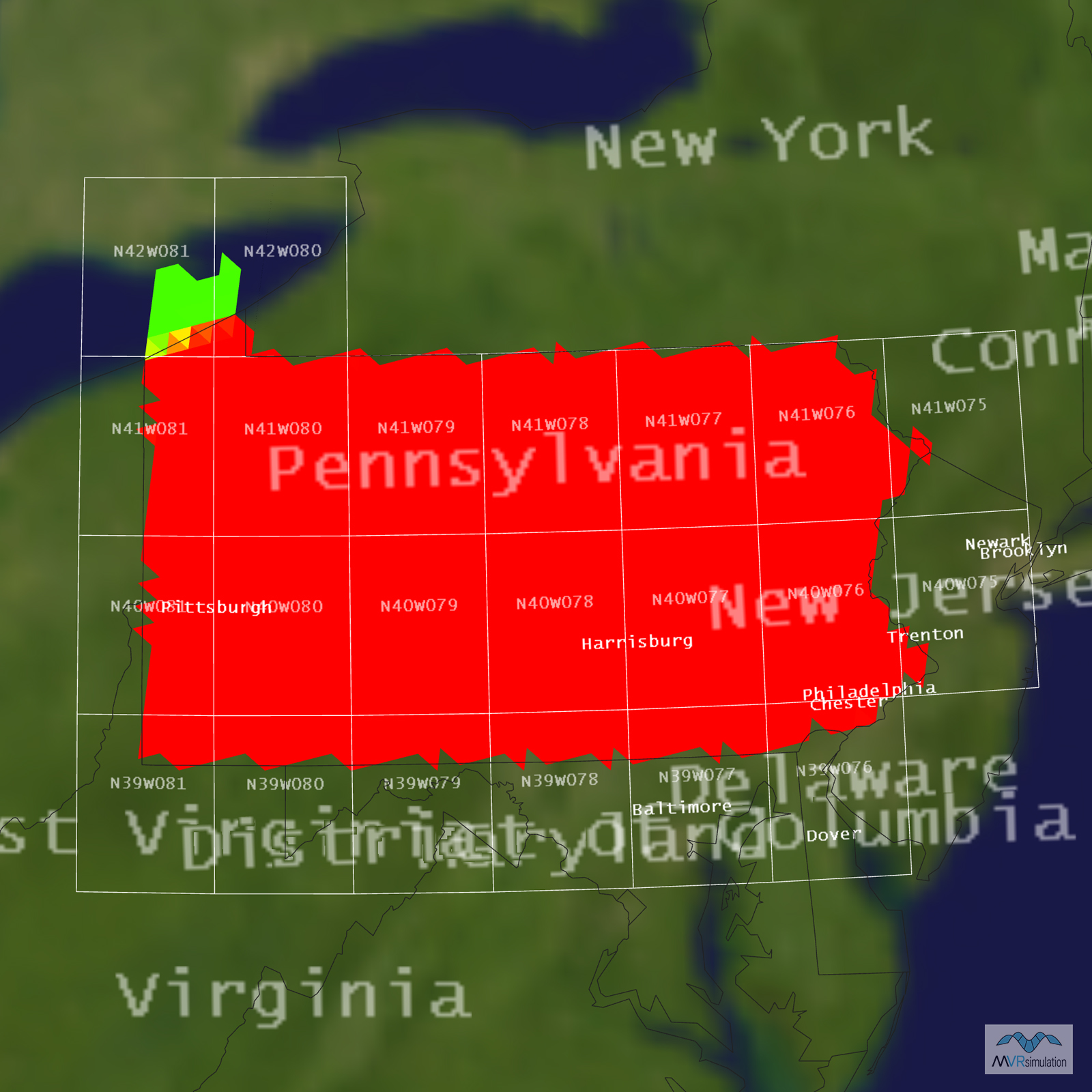
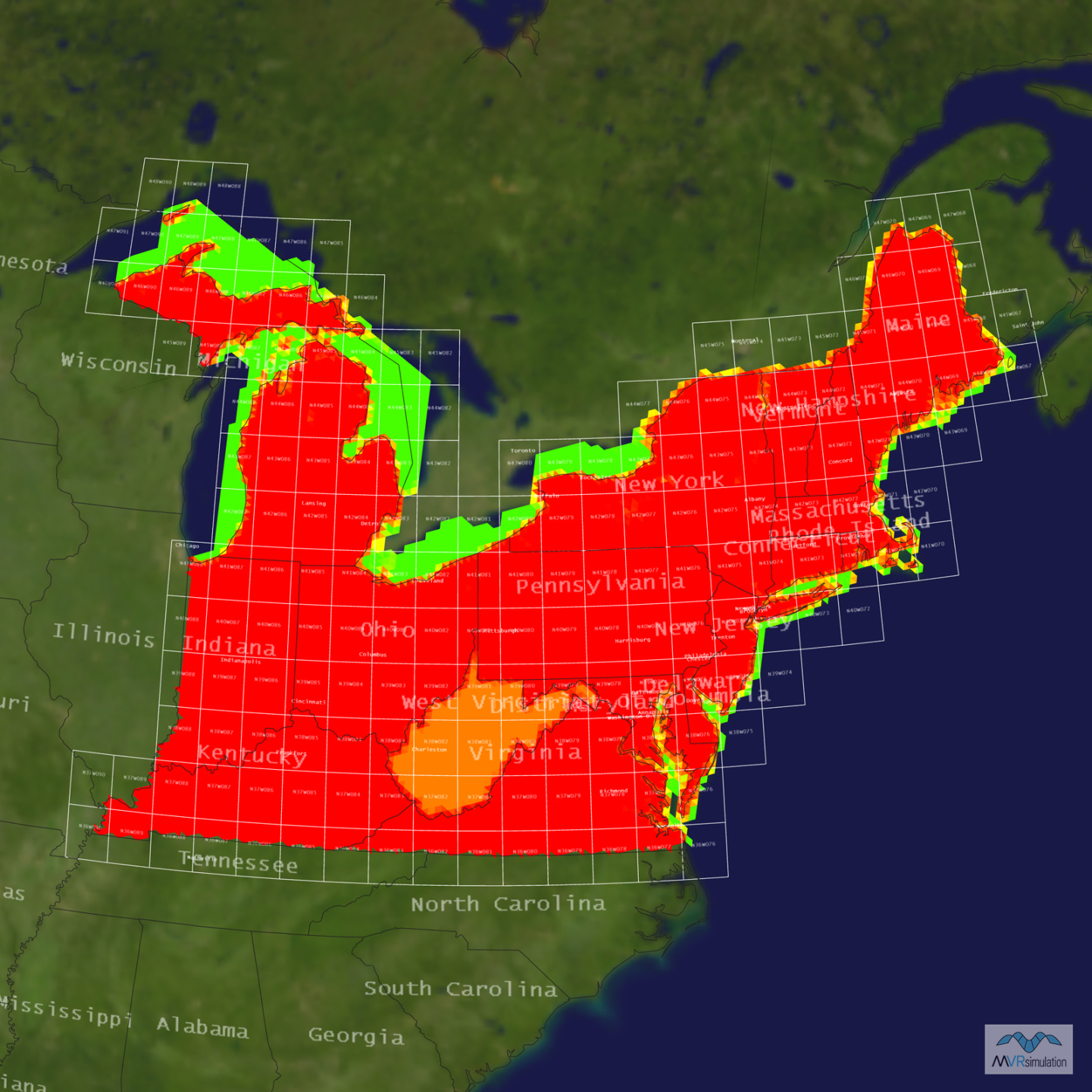
- Cultural features - Runway, geospecific control tower, 3 helipads, runway lighting, cultural lights, hangars, storage facilities, and other buildings, and geotypical volumetric trees