Camp Pendleton Terrain Database Information
- Imagery: 30cm
- Elevation: NED 10m
- Terrain Drive: CONUS Southwest
- Combat Town 25 and Kilo 2 MOUT sites
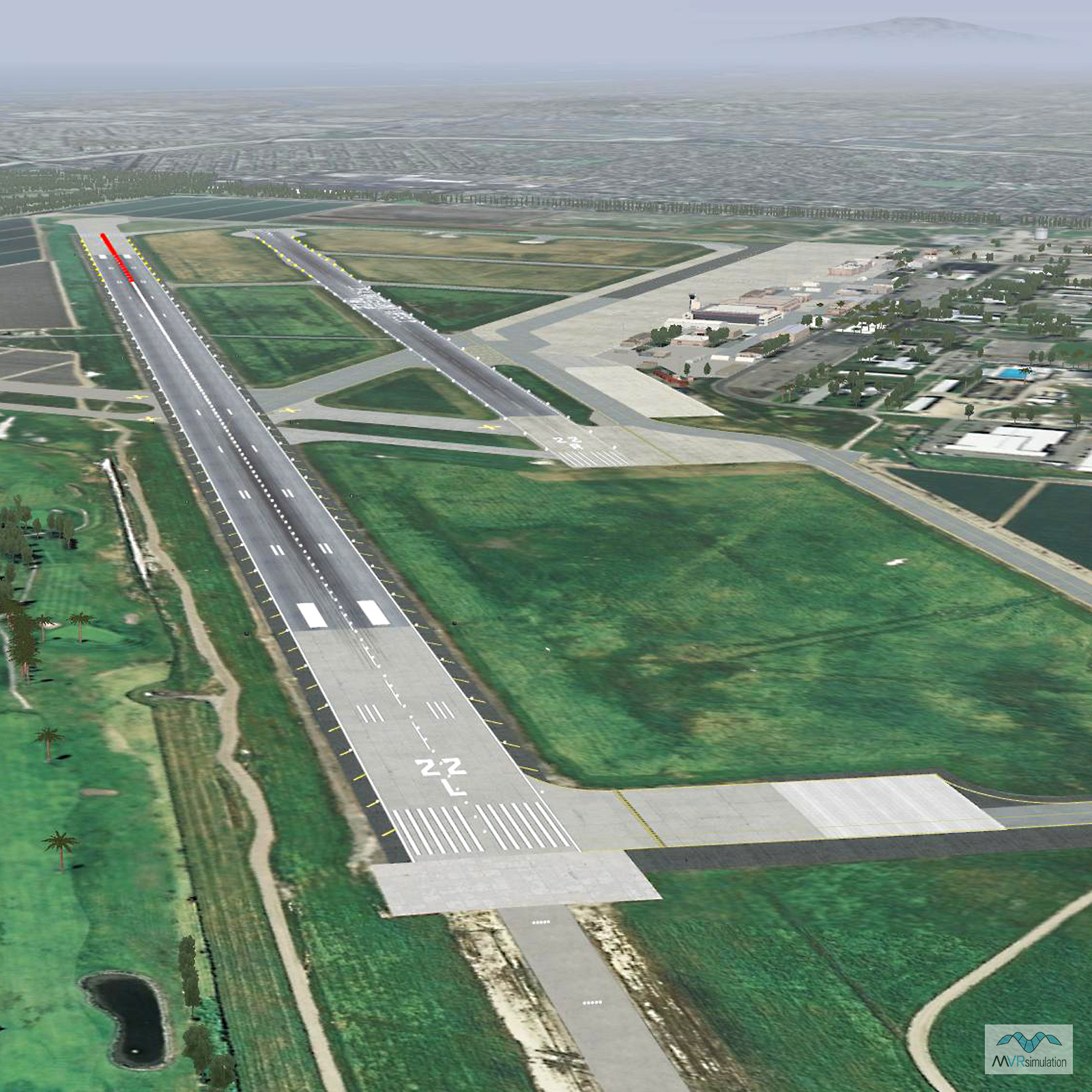
- Los Alamitos (KSLI) Airport
- Cultural Features: Control Tower, Custom Models (Geospecific Buildings), Fences or Walls, Hangars, Landscape Features (Shrubs, Grass, Paved Medians, etc.), Light Poles, Military Specific Elements (Shelters, Bunkers, Watchtowers, etc.), Roads, Signs, Trees, Tunnels/Trenches, Urban Furniture (Benches, Trash Bins, etc), Utilities (Poles, Powerlines or Transmission Lines), Windsocks
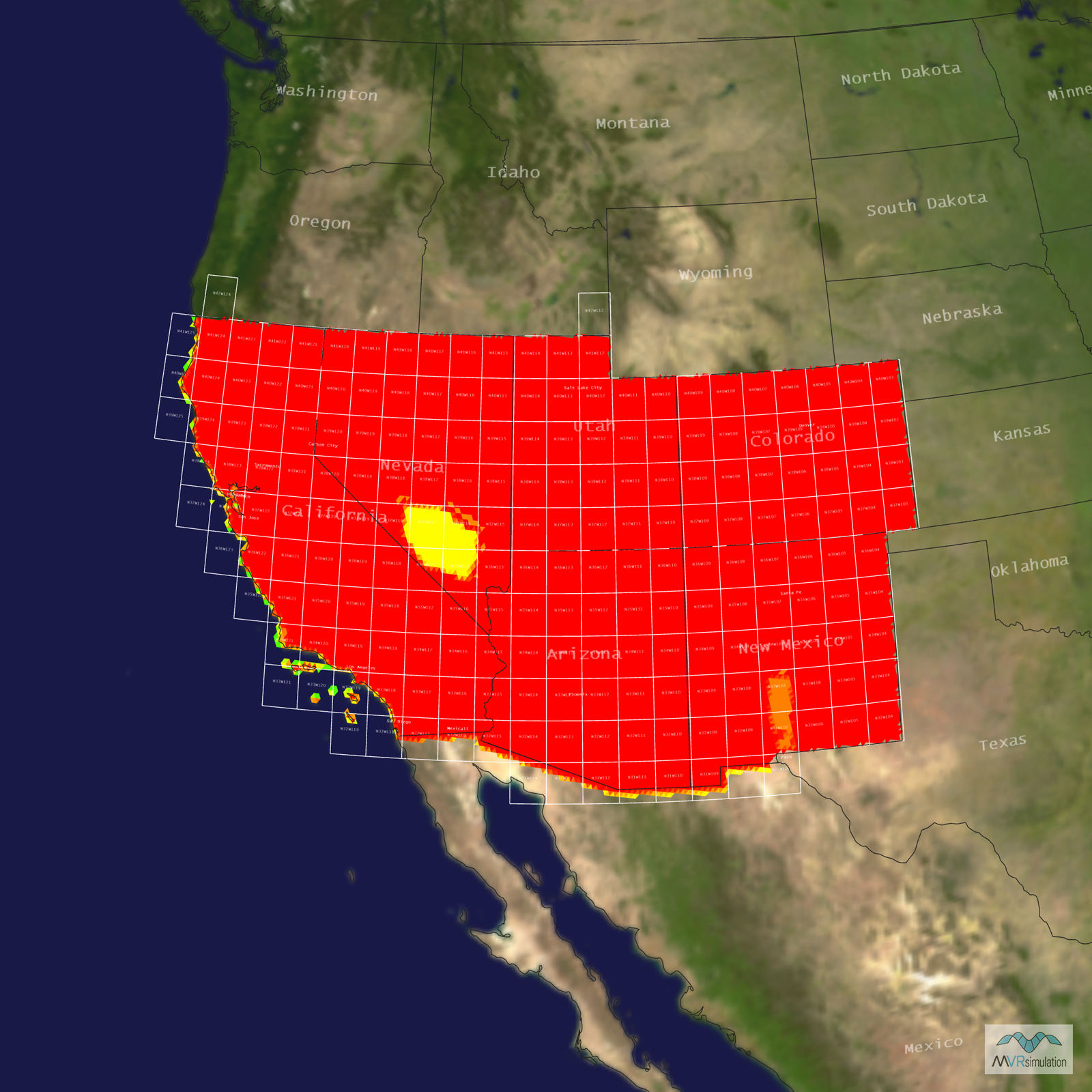
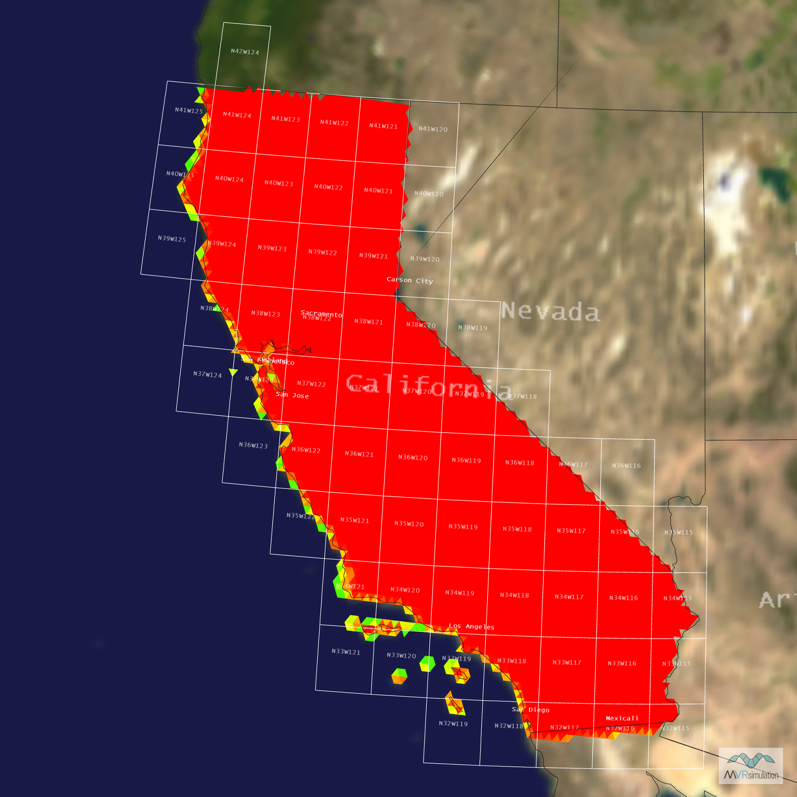
Tile Coverage Map
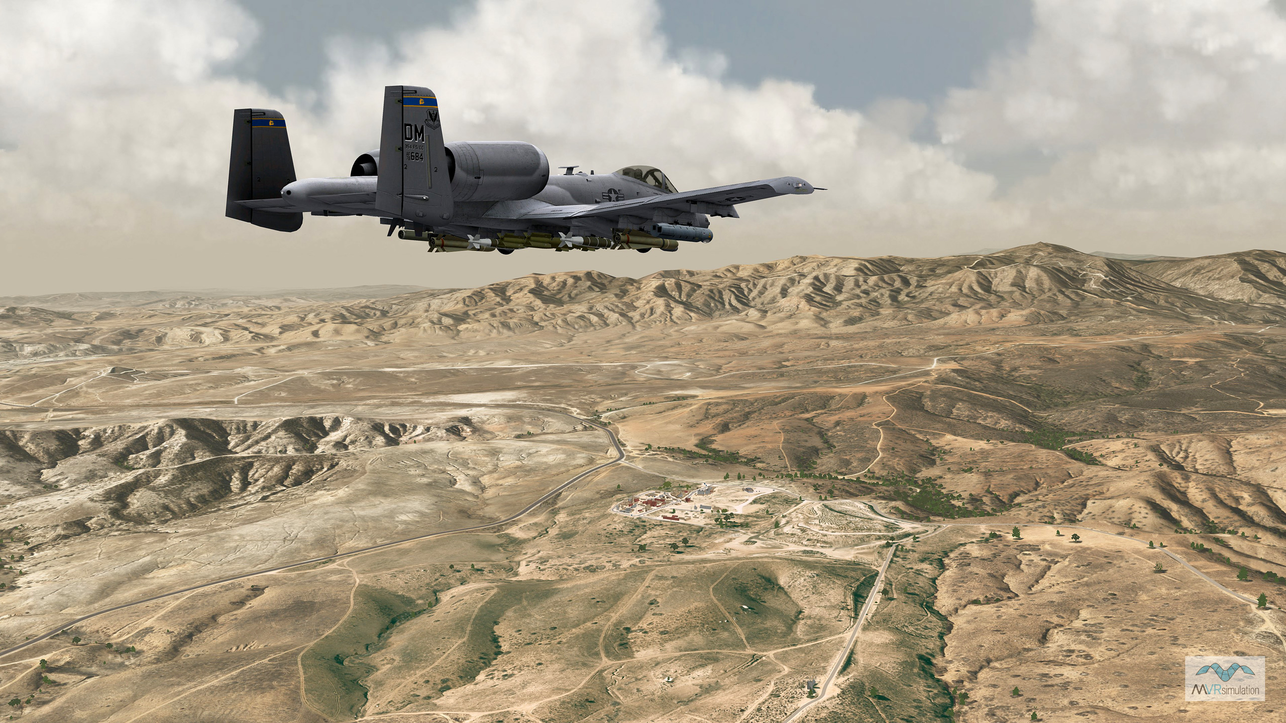
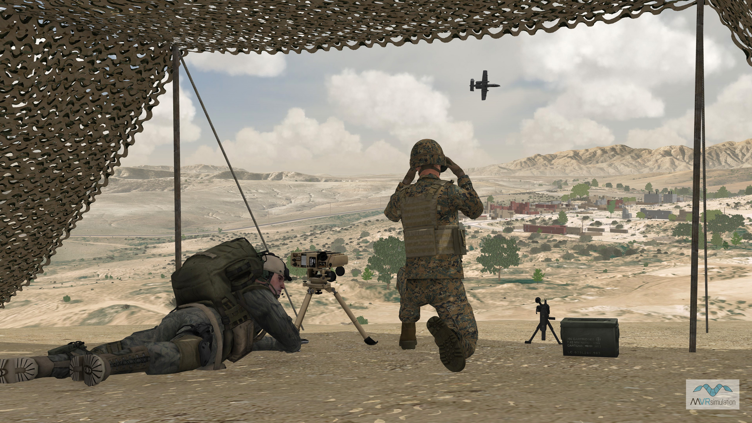
MVRsimulation real-time scene of an A-10 entity approaching the Kilo 2 MOUT site on the virtual Camp Pendleton terrain.
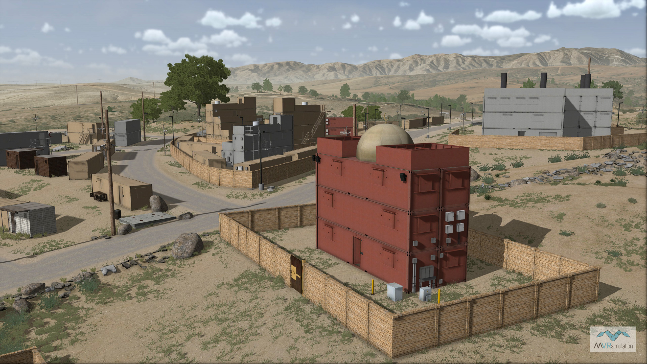
MVRsimulation VRSG real-time scene of the 3D replica of the CT 25 training site on 3D terrain of Camp Pendleton.
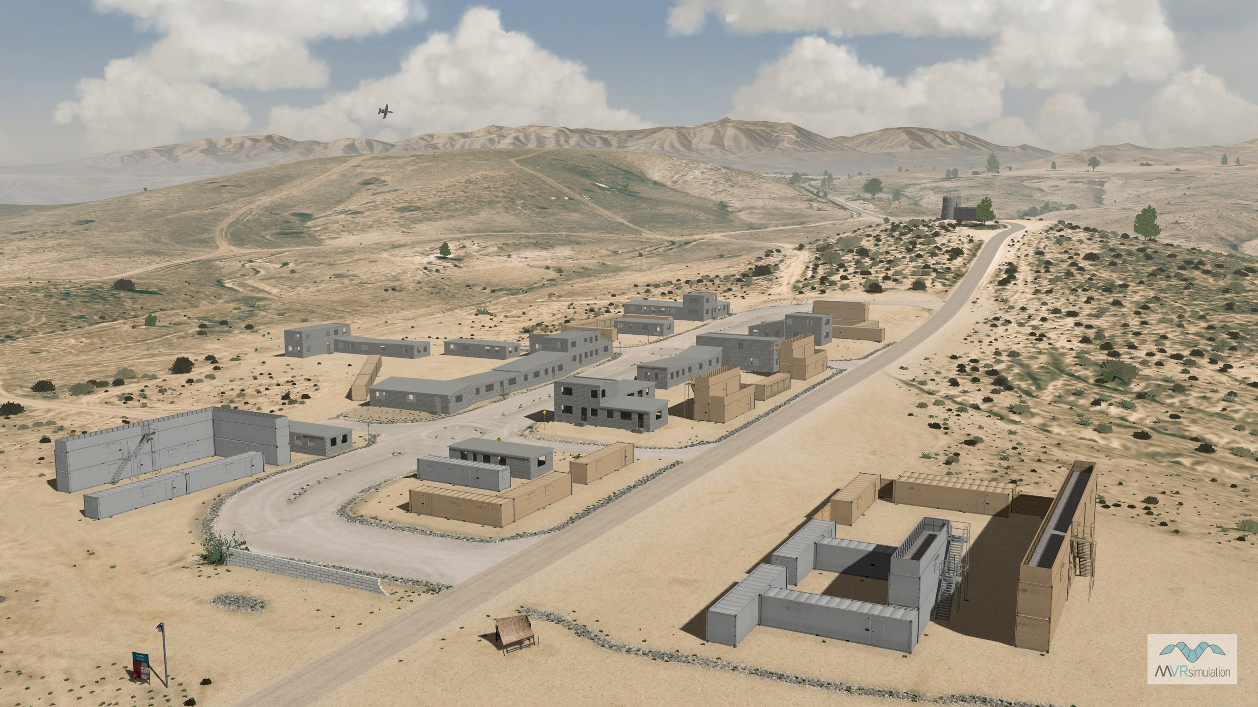
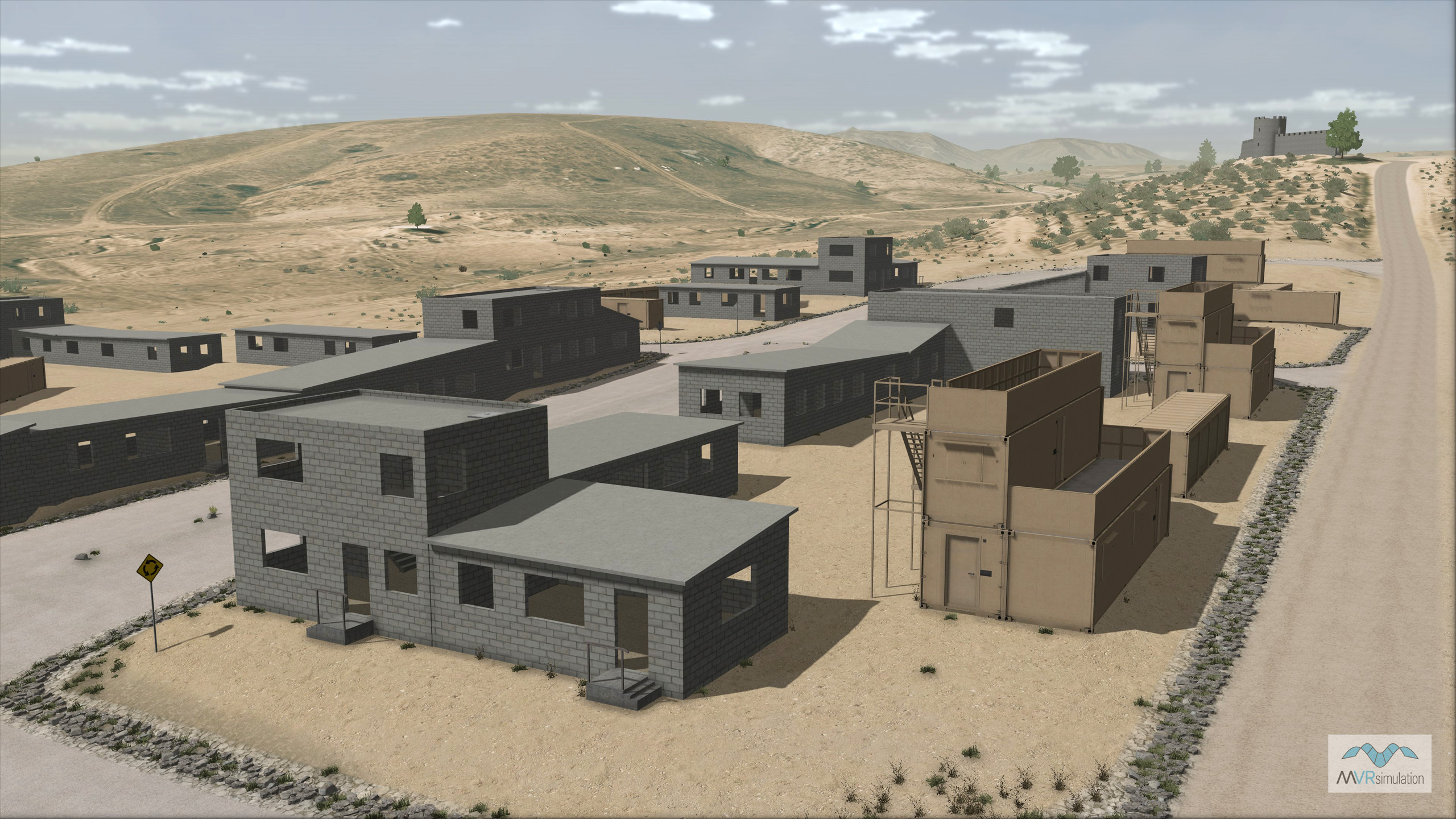
MVRsimulation VRSG real-time overview of the modeled Combat Town 25 training site on virtual Camp Pendleton.
MVRsimulation VRSG real-time scene of the 3D replica of the Kilo 2 training site on 3D terrain of Camp Pendleton.
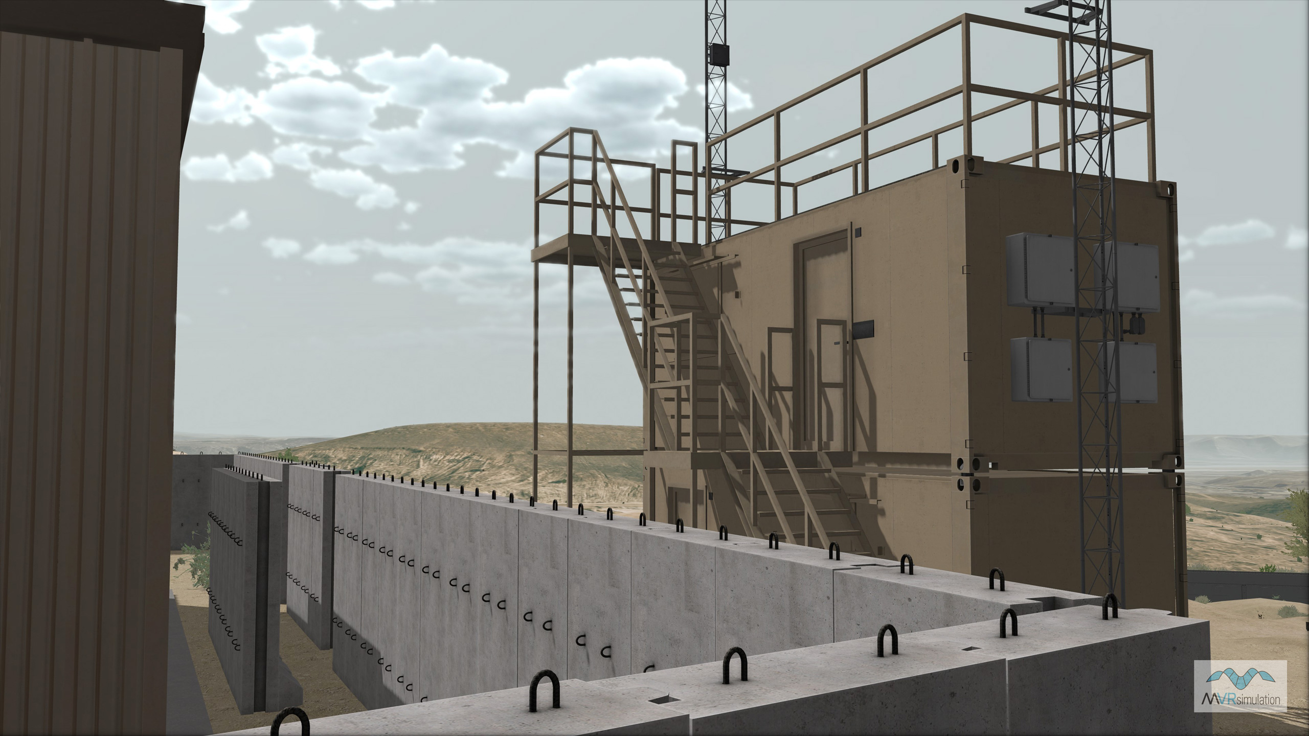
MVRsimulation VRSG real-time detail of the modeled Kilo 2 training site on the Camp Pendleton virtual terrain.
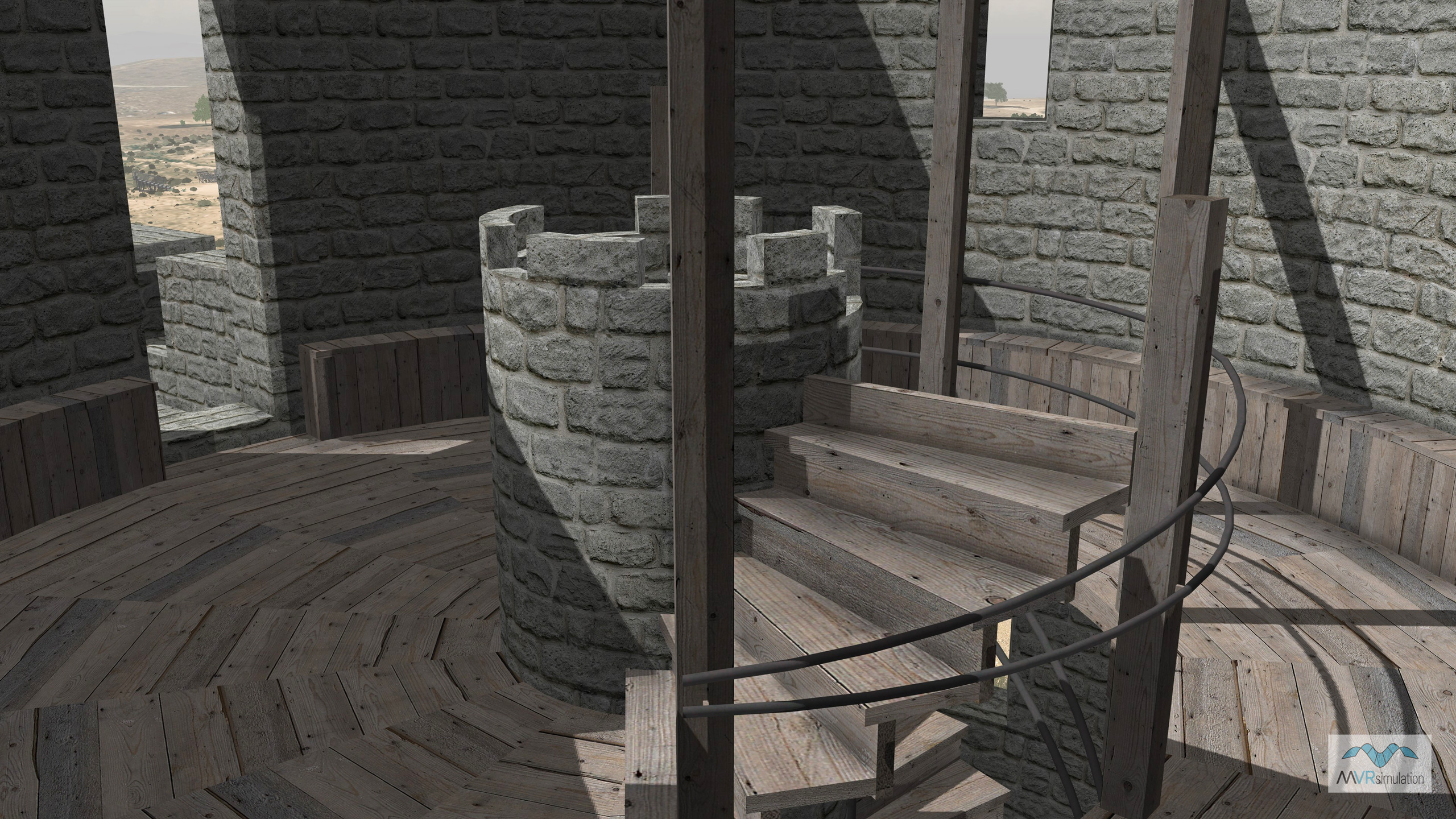
MVRsimulation VRSG real-time scene of the modeled interior of the geospecific castle on the virtual Combat Town 25 training site.
Immersive Training at Camp Pendleton
MVRsimulation delivered a high-resolution, geospecific terrain database for Marine Corps Base Camp Pendleton, for use with VRSG in the U.S. Navy Combined Arms Virtual Environment (CAVE) simulator at the EWTGPAC facility in Coronado, CA. This dataset features a high-resolution 30 cm per-pixel inset, creating a comprehensive and realistic simulation environment. Its accuracy was achieved by directly correlating it to the real site using USGS satellite imagery, DVIDS photographs, and AirSoft wargames GoPro video. The terrain also covers vast portions of California, Arizona, and Nevada, including the 3D modeled Los Alamitos (KSLI) airport.
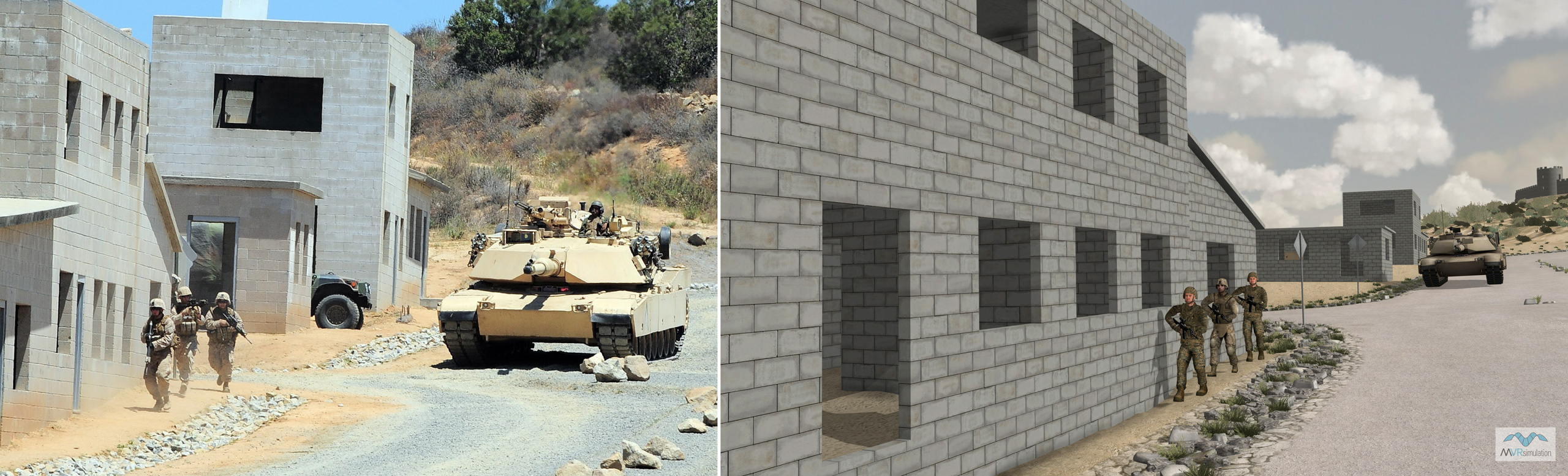
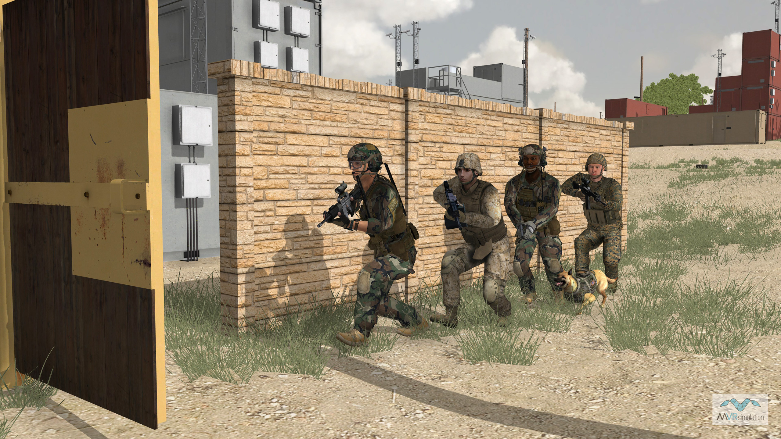
A significant feature of this Camp Pendleton terrain is the meticulous modeling of two Military Operations in Urban Terrain (MOUT) sites: Combat Town 25 and Kilo 2. These sites are rich with substantial 3D content from publicly available sources, including geospecific buildings like mobile containers and concrete structures with detailed interiors. Other cultural features enhancing realism include fences, stones, dumpsters, vegetation, power lines, street signs, climbing structures, bleachers, a graveyard, mosque, observation tower, gas station, market, and a castle.
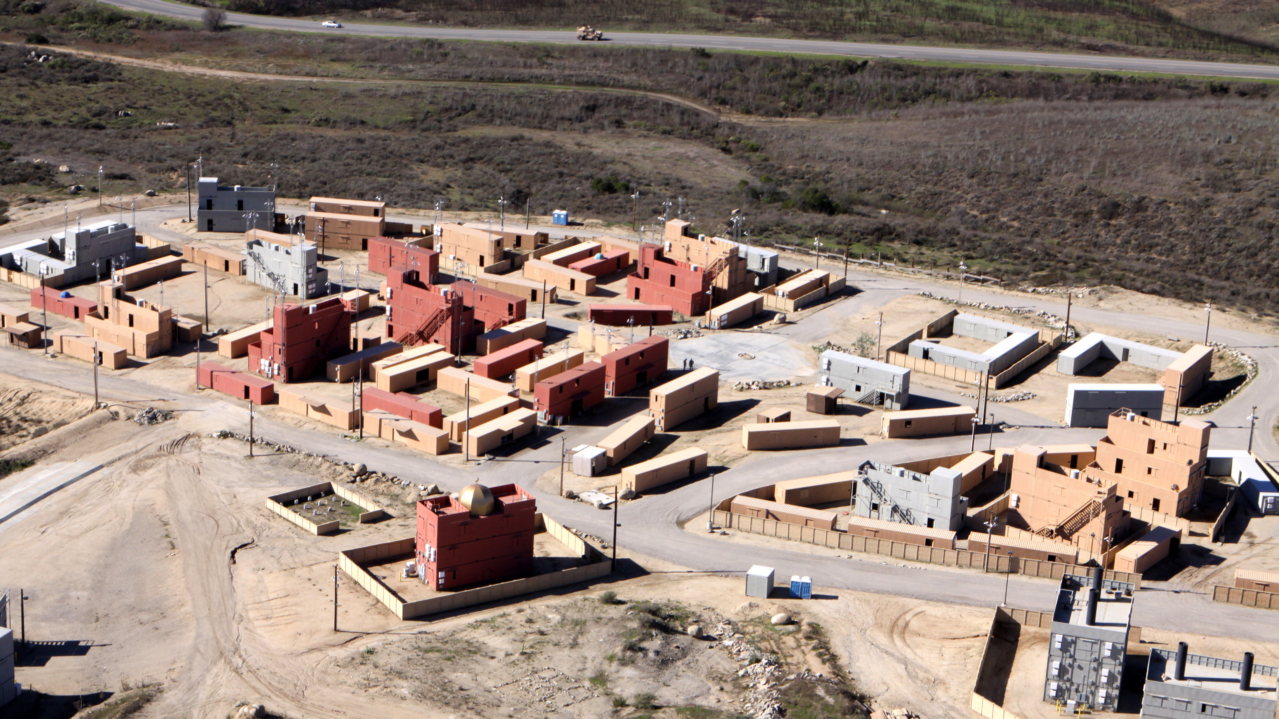
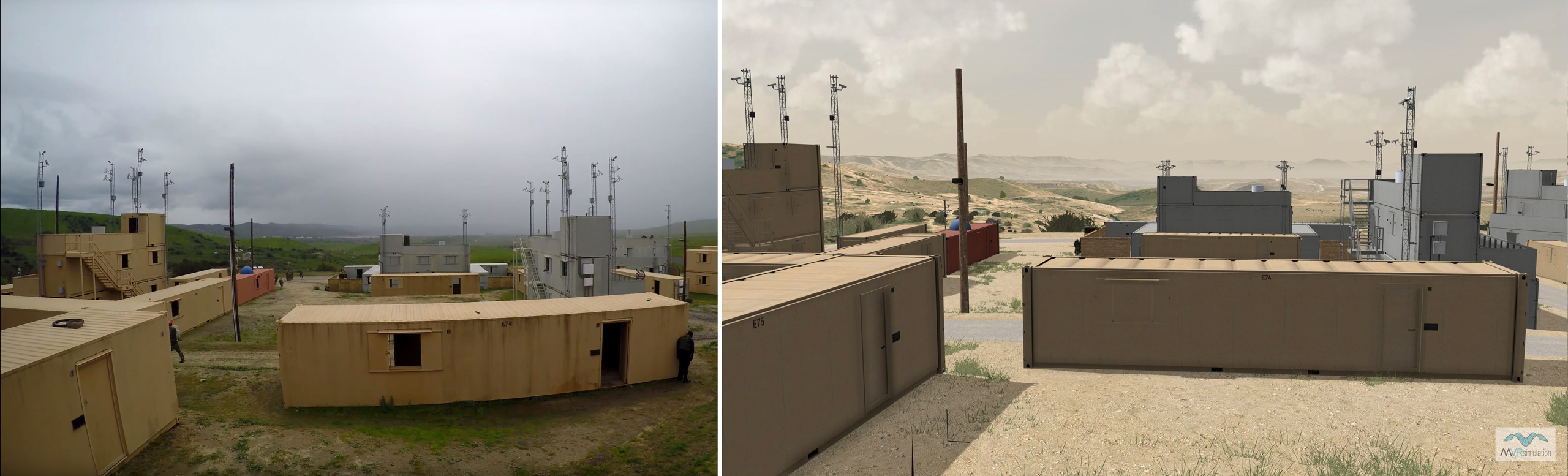
Photo of the actual Kilo 2 MOUT site at Camp Pendleton. Photo credit: Lance Cpl. John Robbart III.
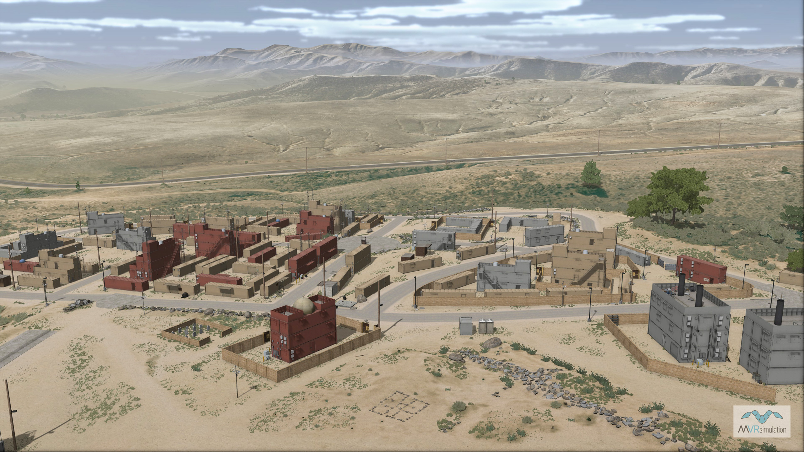
VRSG scene overlooking the replica of the Kilo 2 MOUT site on the 3D terrain of Camp Pendleton.
The terrain was built in MVRsimulation Terrain Tools for Esri® ArcGIS®, which utilizes blended 4K microtextures for enhanced realism, resulting in 4 mm per-pixel effective resolution for various ground and road types. Camp Pendleton, located on the Southern California coast, in San Diego County, is the major West Coast base of the United States Marine Corps. The following images compare publicly available photographs of its Kilo 2 and Combat Town 25 MOUT sites with the corresponding terrain rendered in VRSG. Reference photos of the Kilo 2 MOUT site were captured from a public Airsoft gameplay video: Airsoft WAR: Operation Devil Dog at Camp Pendleton K2 (MilSim) - Part 1 by Dutch The Hooligan.
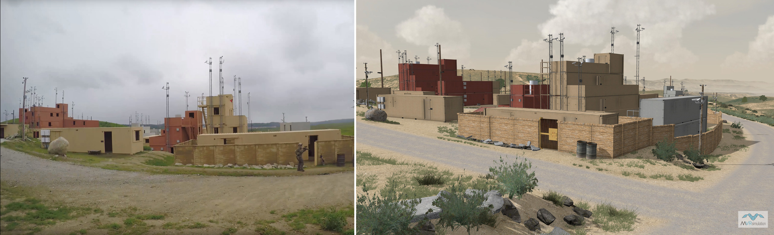
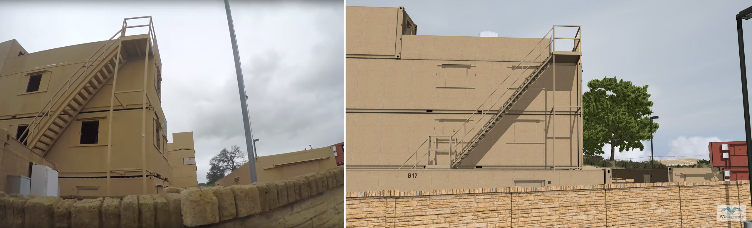
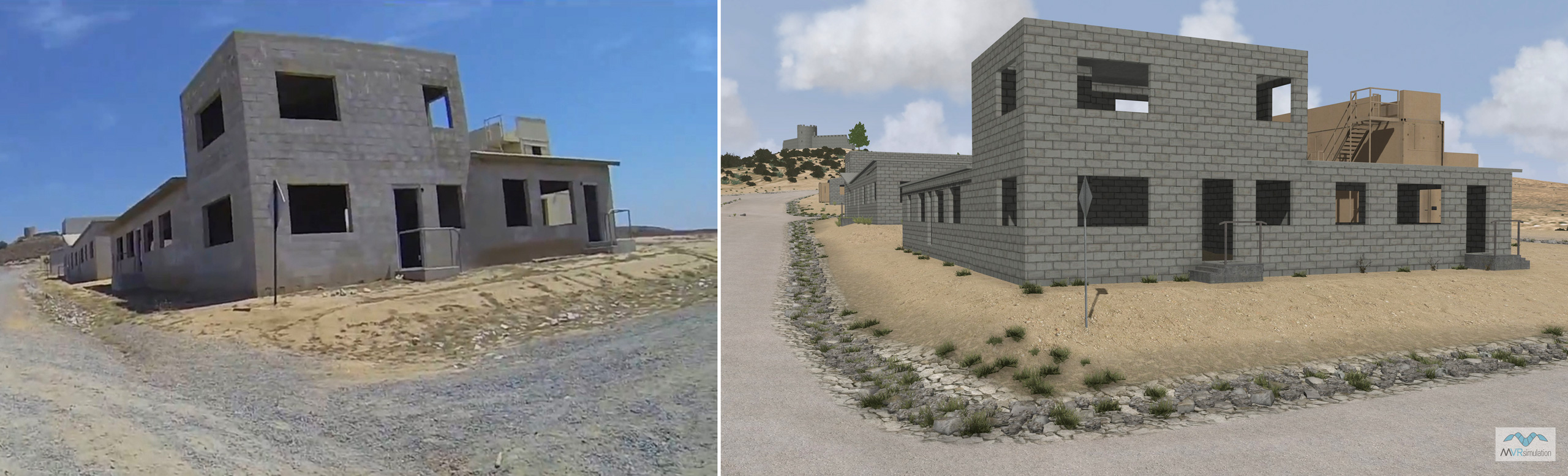
Photos of the two MOUT sites
VRSG screen captures of the same scene