I/ITSEC 2024
MVRsimulation at I/ITSEC 2024 - Booth #727
- Featured: FPV-UAV simulator in Hajin, Japan, Yuma MOUT site
- Products: VRSG, Terrain Tools 3.0, DJFT, PTMT, Sand Table, PJFT, FPV-UAV
- Location: Orange County Convention Center, Orlando, FL (Dec 2 - Dec 5)
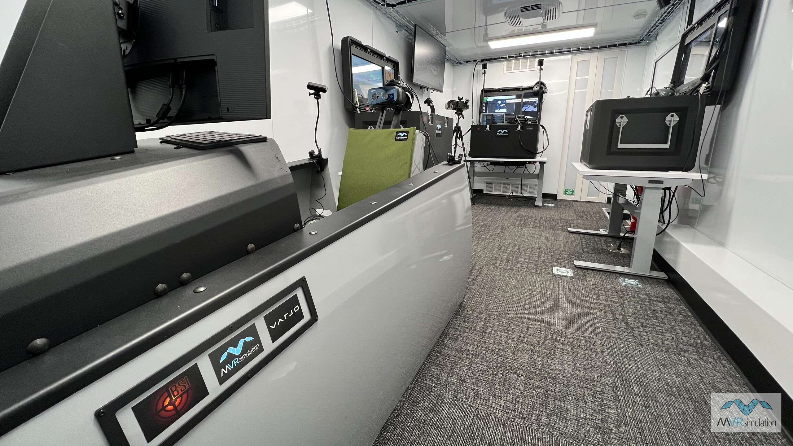
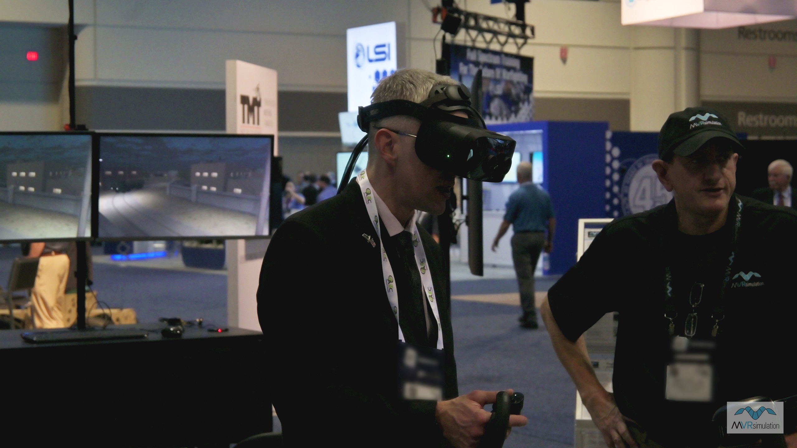
At I/ITSEC 2024 in booth #727 MVRsimulation is demonstrating its new Portable Joint Fires Trainer (PJFT) and FPV-UAV Drone simulator along with its Mixed Reality Sand Table and one fixed-wing Part Task Mission Trainers (PTMTs), all networked with one full Deployable Joint Fires Trainer (DJFT) simulator in mixed reality high-speed flight, JTAC, Close Air Support (CAS), and RPAS operator training scenarios – all supported by geospecific terrain rendered in Virtual Reality Scene Generator (VRSG).
The DJFT has a flexible configuration incorporating an Instructor, JTAC Observer, and Role Player MQ-9 Reaper operator providing mission overwatch with a KLV metadata based sensor feed. The two PTMTs are networked in as CAS Role Players configured as an A-10 and F-18.
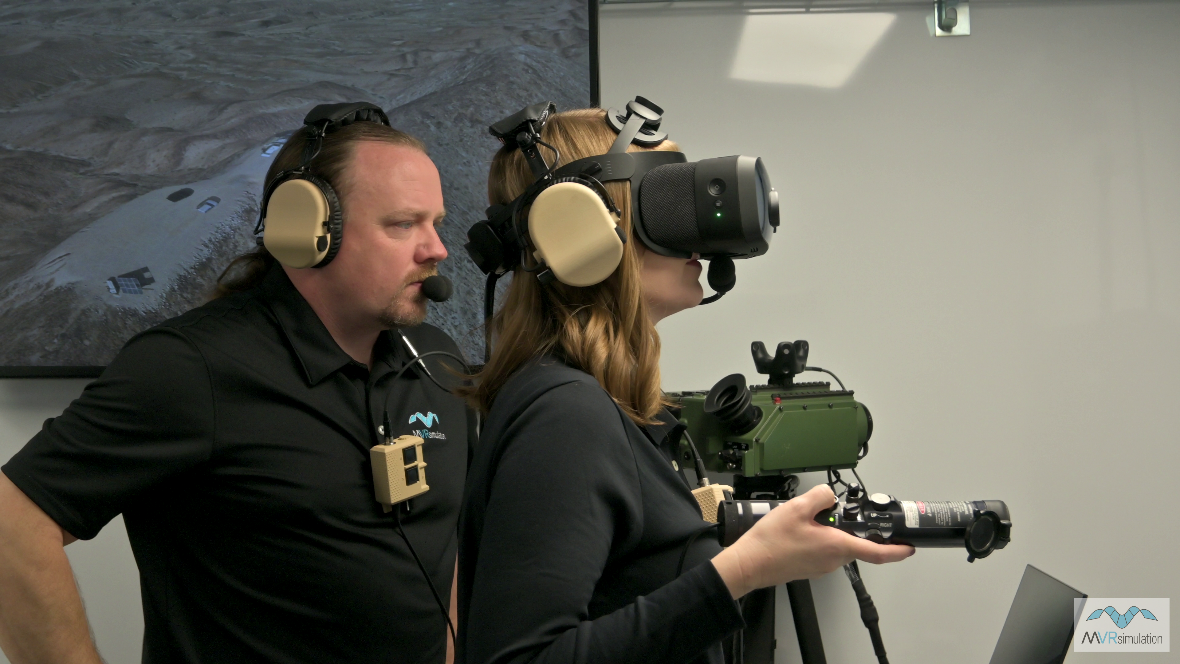
Full spectrum training scenarios are running, including exercises such as Digitally Aided CAS (DACAS) in accordance with current joint tactics, techniques and procedures, Match Sparkle target identification between JTAC and CAS aircraft, and full NVG-supported day/night transitions. All missions display full integration of partner technologies, including the Varjo XR-4 Focal Edition mixed reality headset, Battlespace Simulation's MACE, Sierra Nevada Corporation's SNC TRAX, and all physical/emulated hardware and software.
FPV-UAV Simulator
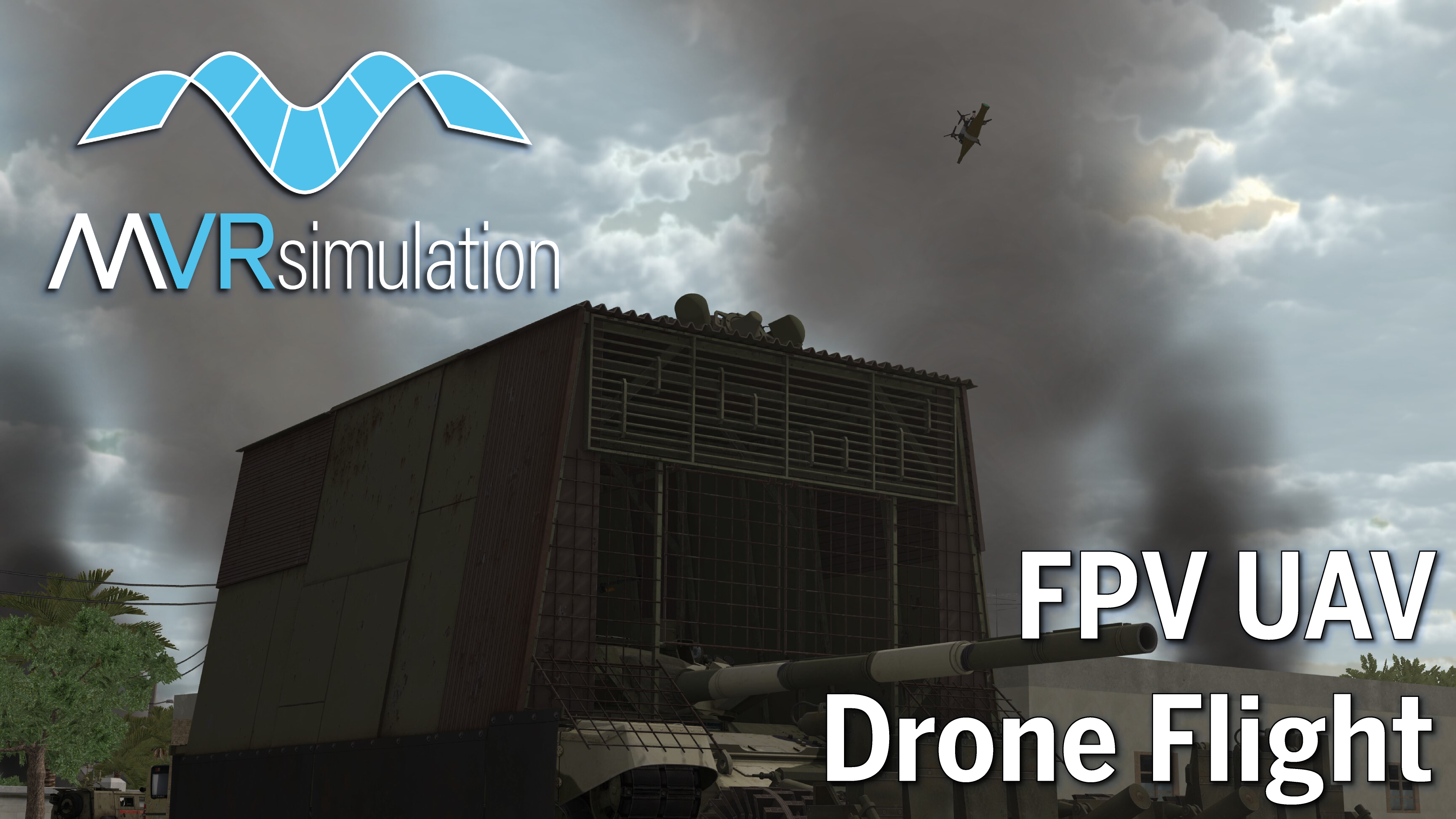
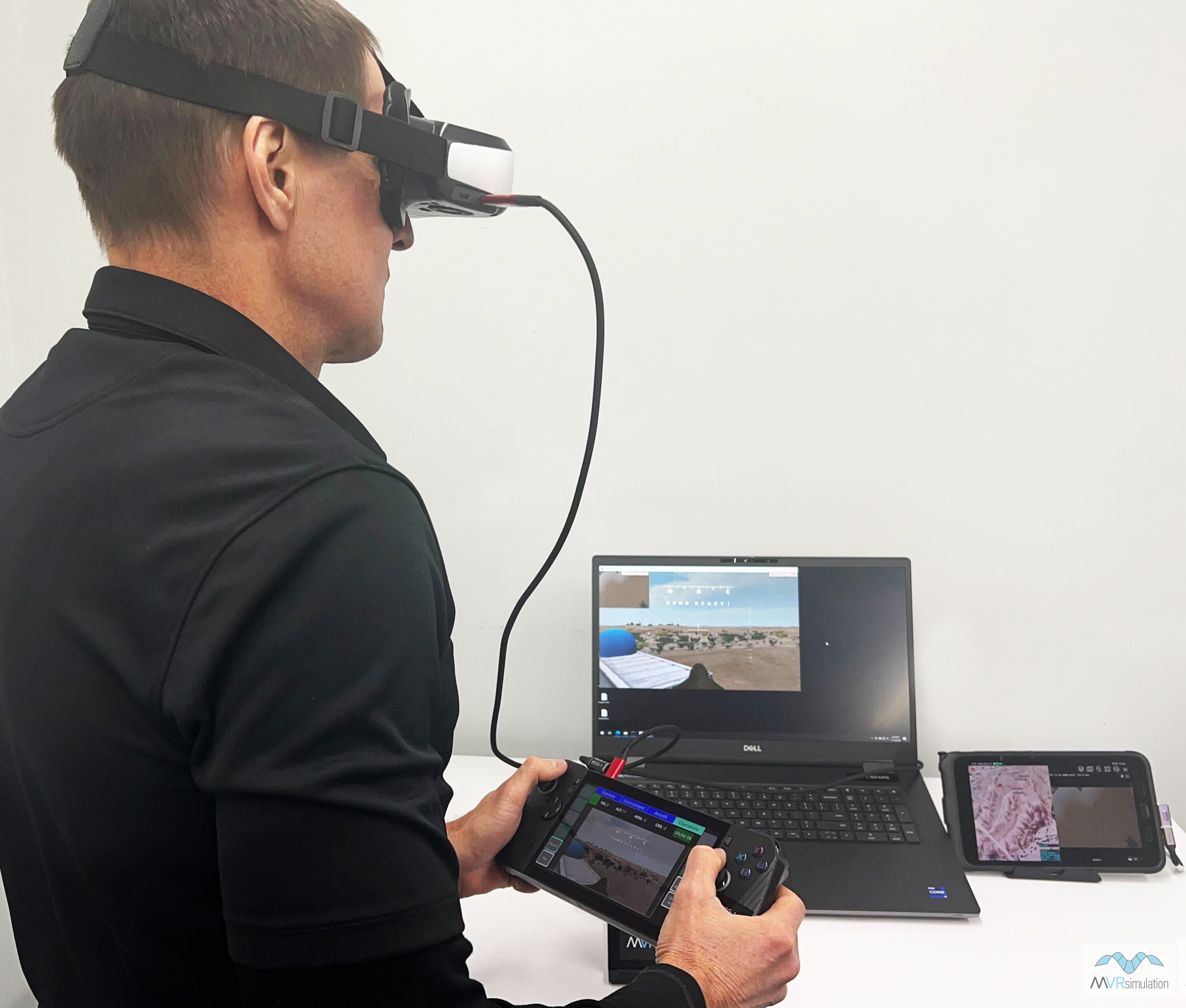
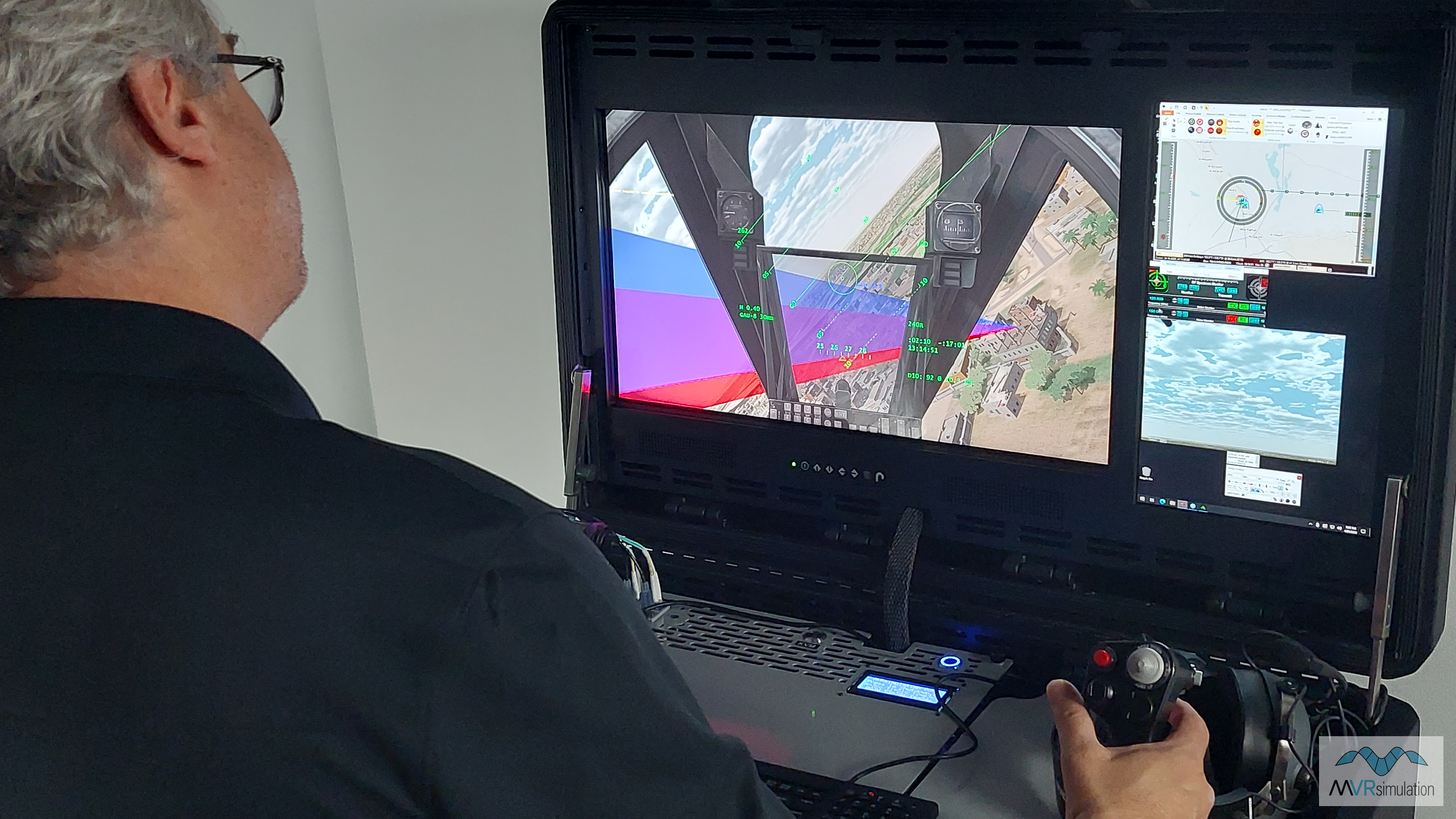
MVRsimulation’s First Person View (FPV) UAV Simulator provides a highly-realistic training solution for the operation of racing-style quadcopter attack drones on the contested battlefield. The highly-portable system consists of a high-end gaming notebook running VRSG and an ROG handheld controller device with configurable integrated pilot controls. The simulator is supplied with 2D video display goggles, allowing the UAV operator to experience the FPV camera as a head-mounted (non-tracking) view.
VRSG simulates the front-facing camera view of the UAV, streaming the operator's FPV to the handheld device. Training scenarios take place in VRSG's high-resolution geospecific terrain, which can be populated with real-time entities from VRSG’s 3D model library of 10,100+ currently-deployed military weapons and platforms
Portable Joint Fires Trainer (PJFT)
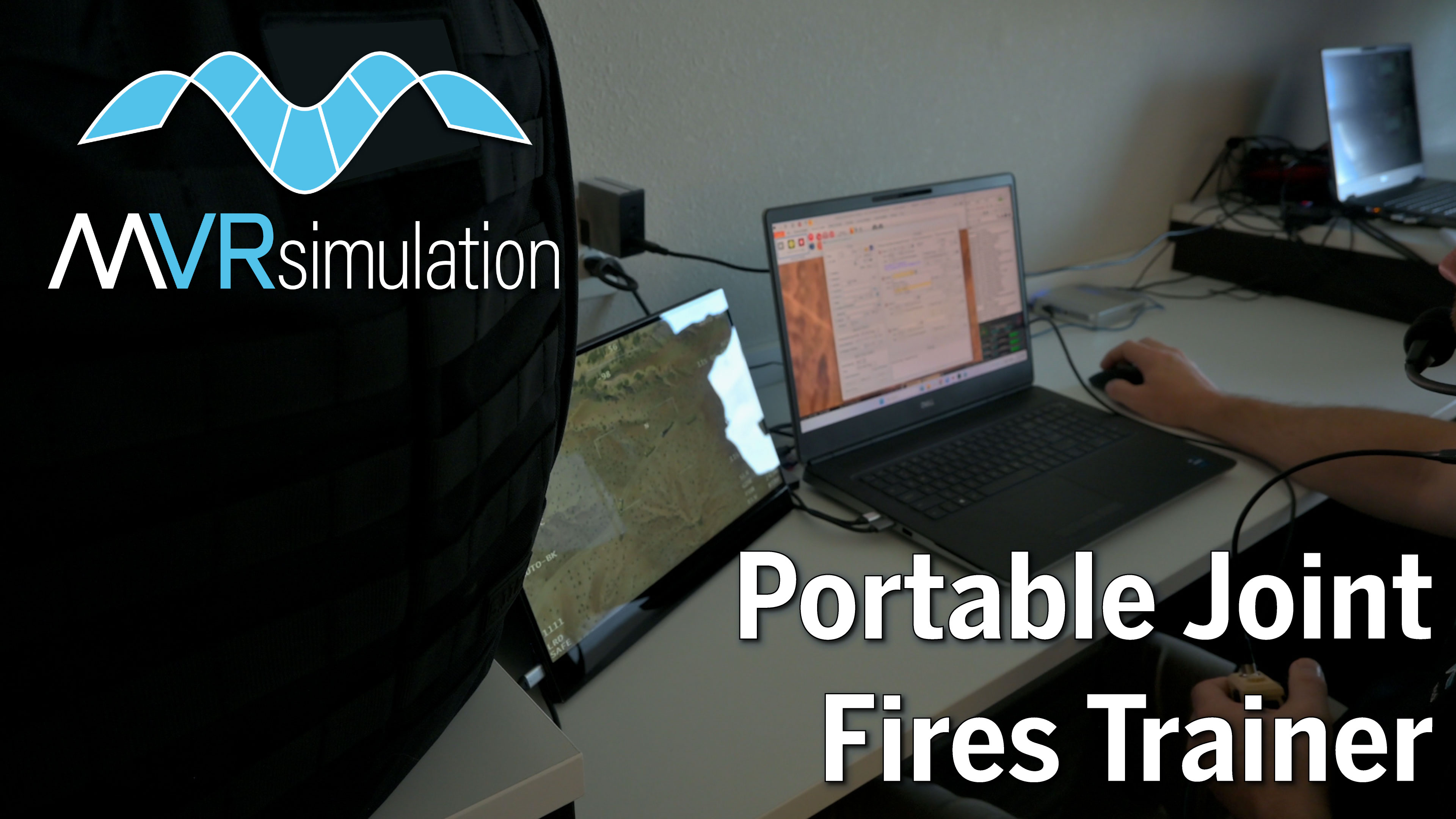
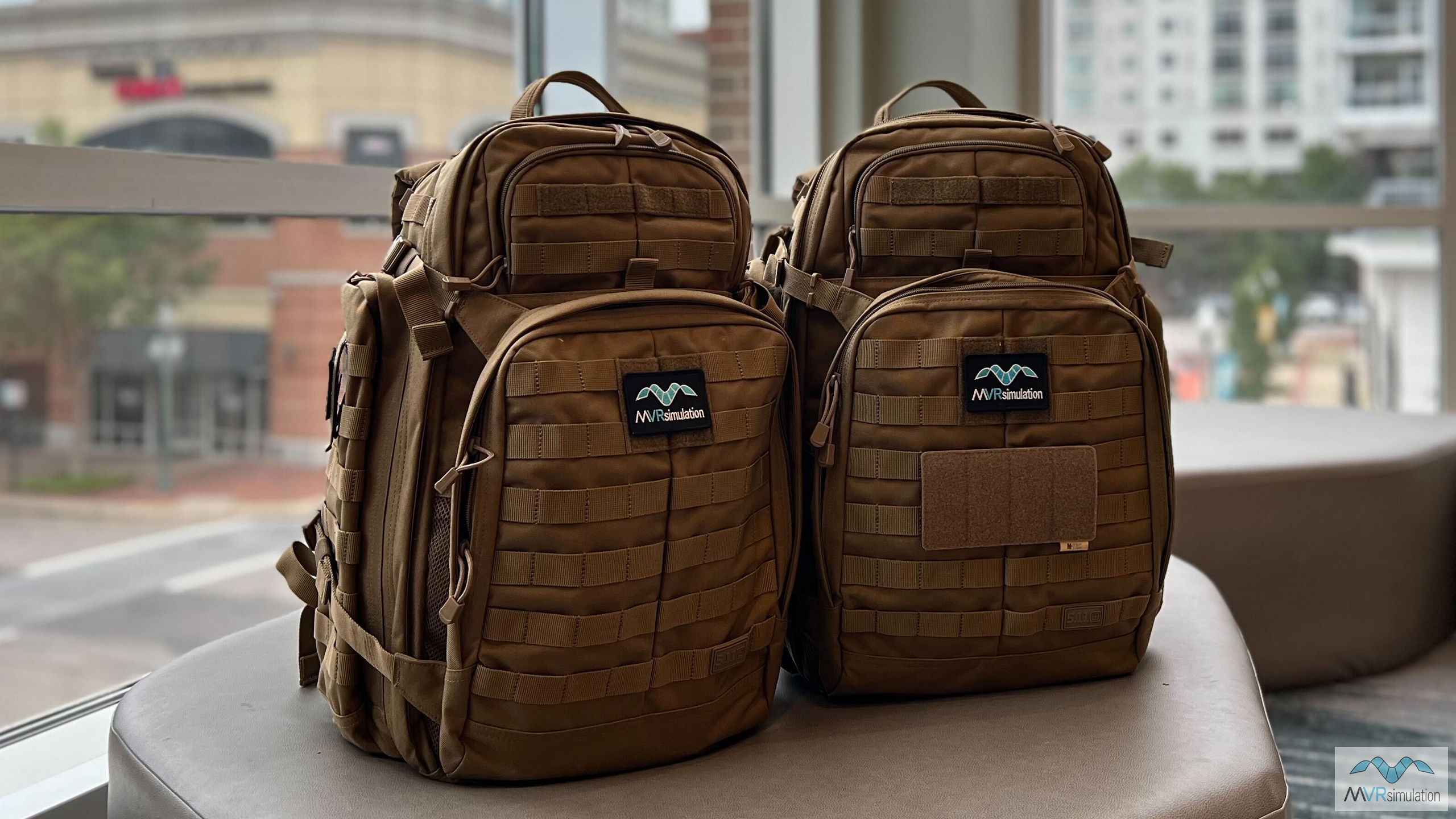
During I/ITSEC 2024, MVRsimulation is displaying its new Portable Joint Fires Trainer (PJFT). The dual 5.11 Rush 72 2.0 Backpack system is designed to bring mixed reality Joint Fires simulation training to the tactical edge. The comfortable rucking style backpack enables reliable, extended-range travel, and fits within commercial airline carry-on bag size and weight limits.
The PJFT provides full spectrum mission training at the tactical edge, either as a stand-alone capability, or as a portable component of the fully-accredited Deployable Joint Fires Trainer (DJFT). The PJFT includes all software and simulated devices to complete Type, 1, 2, and 3 Terminal Attack Control (TAC), Bomb on Coordinate (BOC), FixedWing (FW), Rotary-Wing (RW), Remote Observer (RO), Video Down-Link (VDL), Suppression of Enemy Air Defenses (SEAD), Urban, Forward Air Controller (Airborne) (FAC (A)), Night, IR, and Laser controls. The modularity of the PJFT allows units to decide how they prefer to transport their PJFT, either in a single case weighing less than 70 lbs or in multiple cases individually weighing about 40 lbs.
Terrain Presented at I/ITSEC 2024
All simulators in booth #727 use shared high-resolution virtual environments using MVRsimulation's round-earth VRSG terrain architecture.
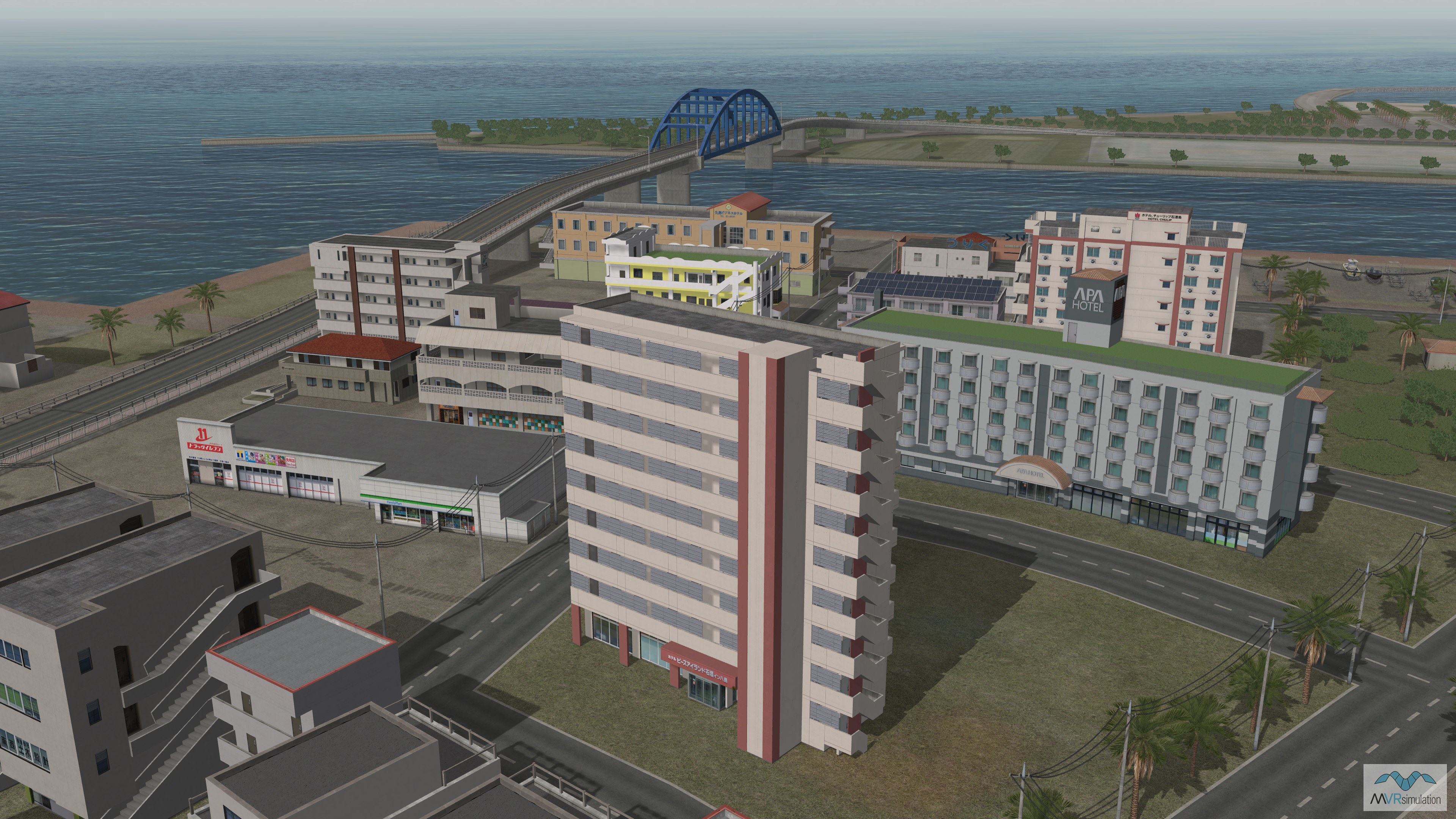
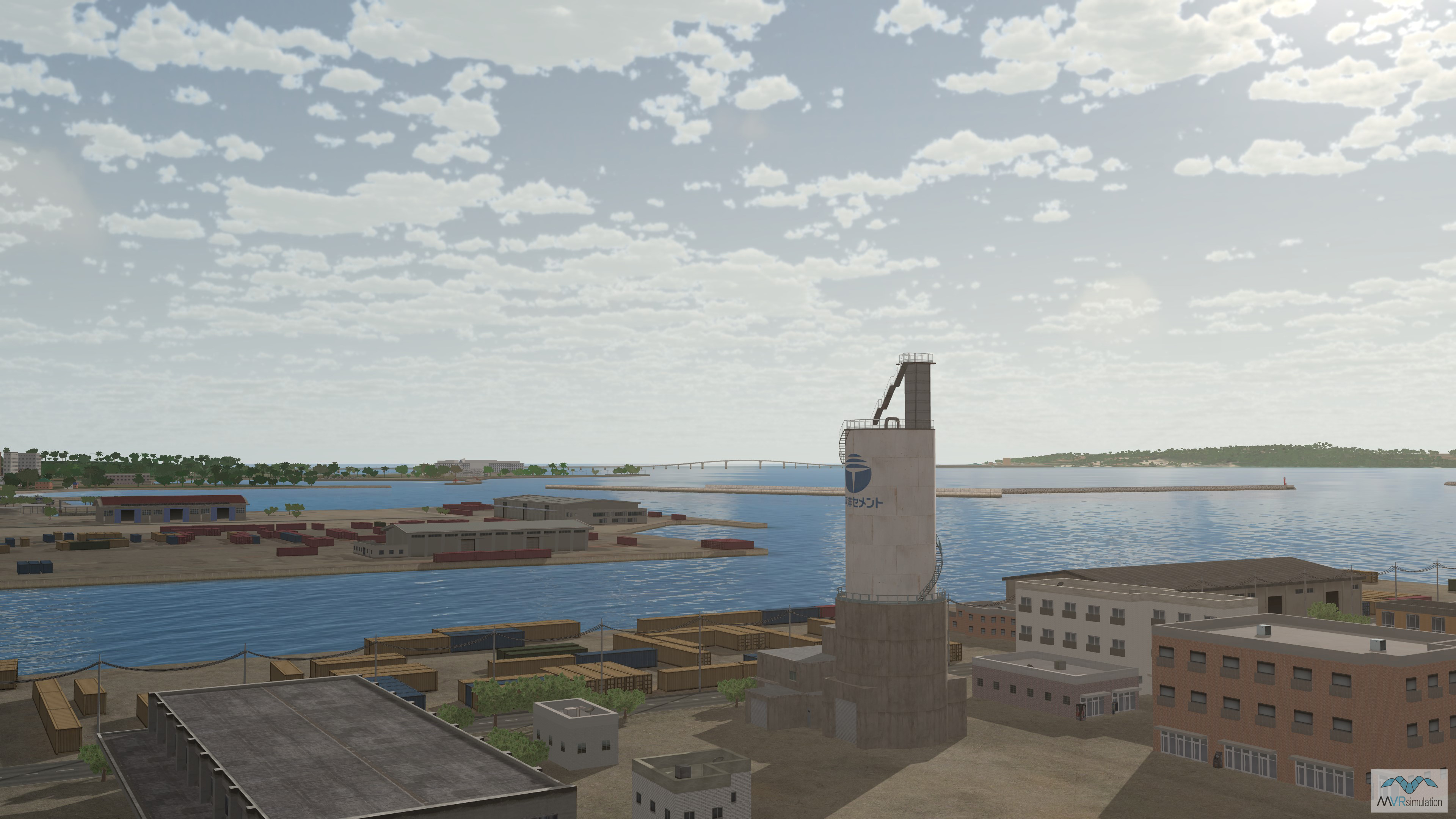
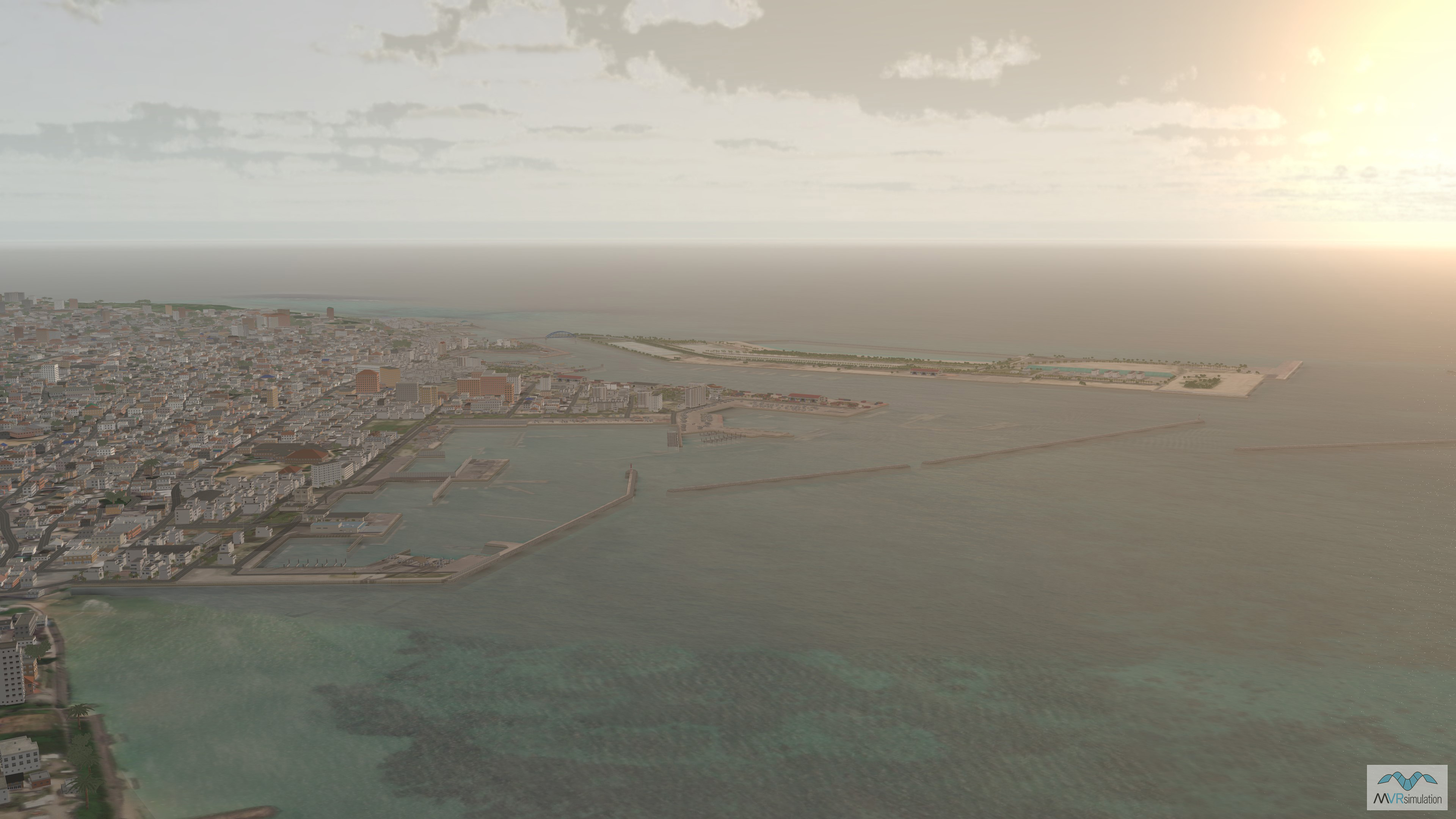
MVRsimulation has built high-resolution geospecific 3D terrain of the main island of Okinawa, comprised of 30-50cm high-resolution imagery, covering much of the Okinawa Prefecture including the Main Island of Okinawa, Kerama, Iheya, Izena, Aguni, le, Yoron, and Lotorishima islands. The underlying elevation data is built from 30m SRTM data. The Okinawa terrain also includes a model of Kadena Air Base (RODN), Futenma Air Base (ROTM), and Naha Airport (ROAH). The main island is also populated with several thousand geo-typical tree models, CityEngine buildings, and geotypical models from MVRsimulation's robust culture model libraries.
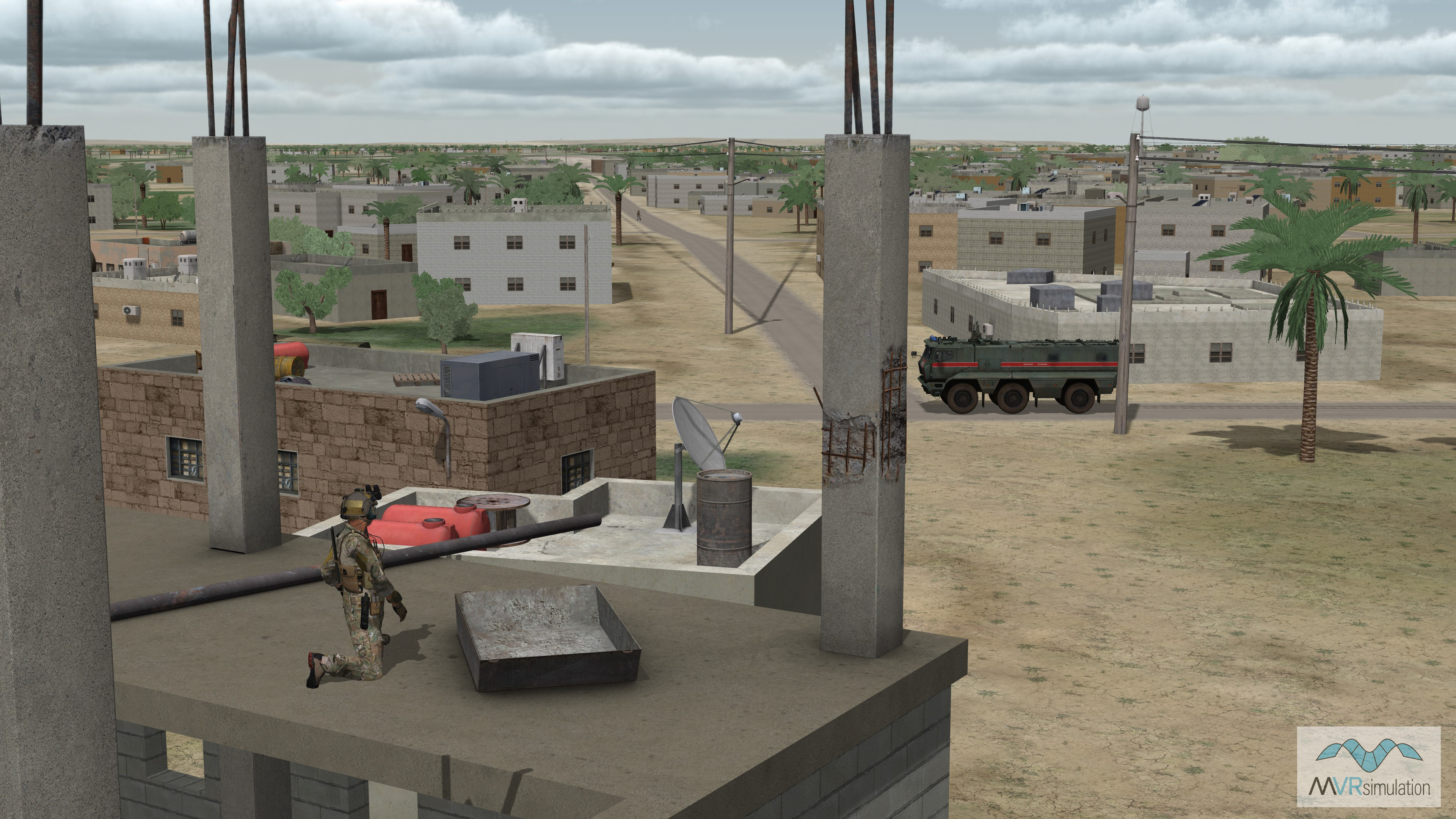
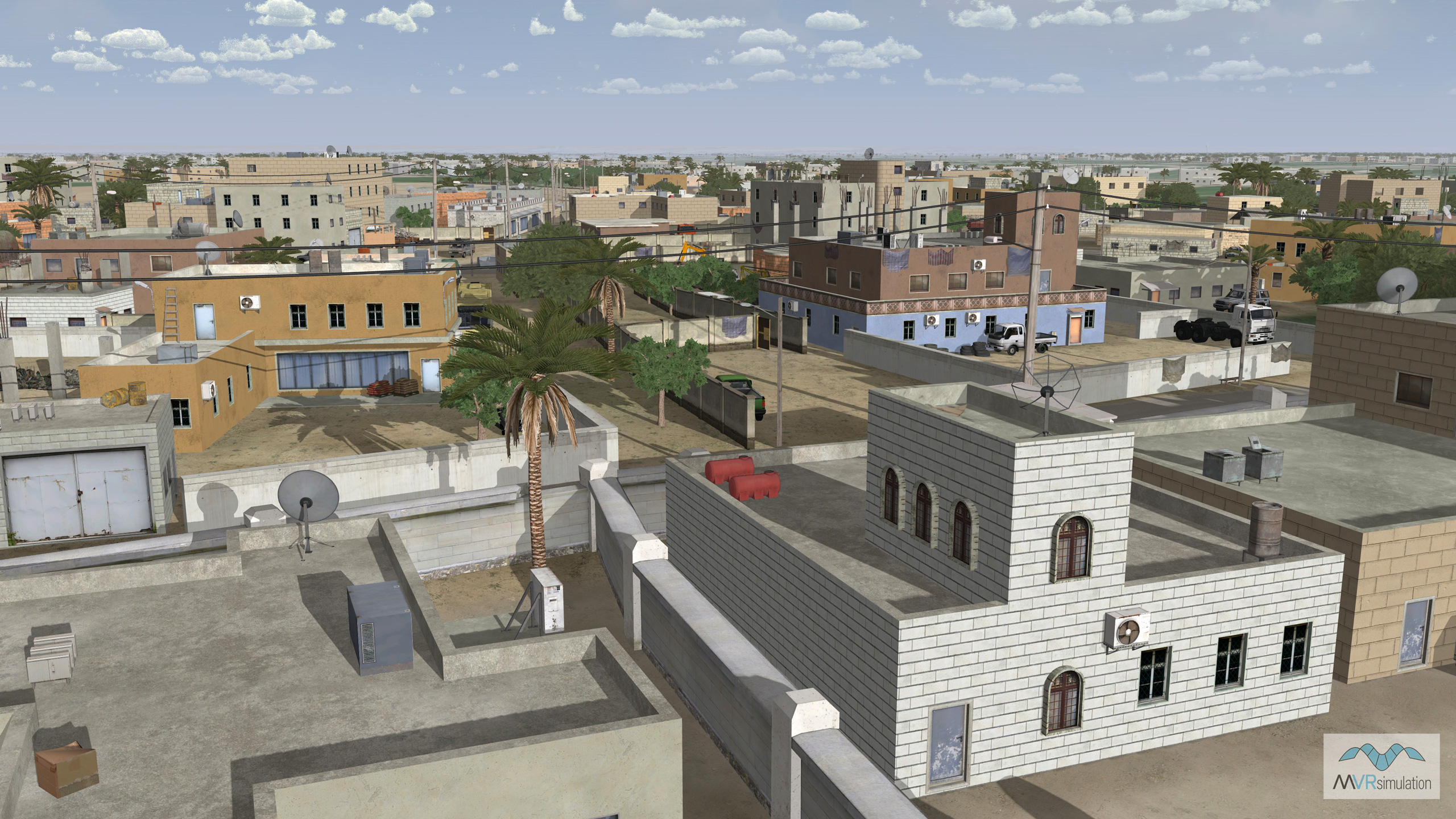
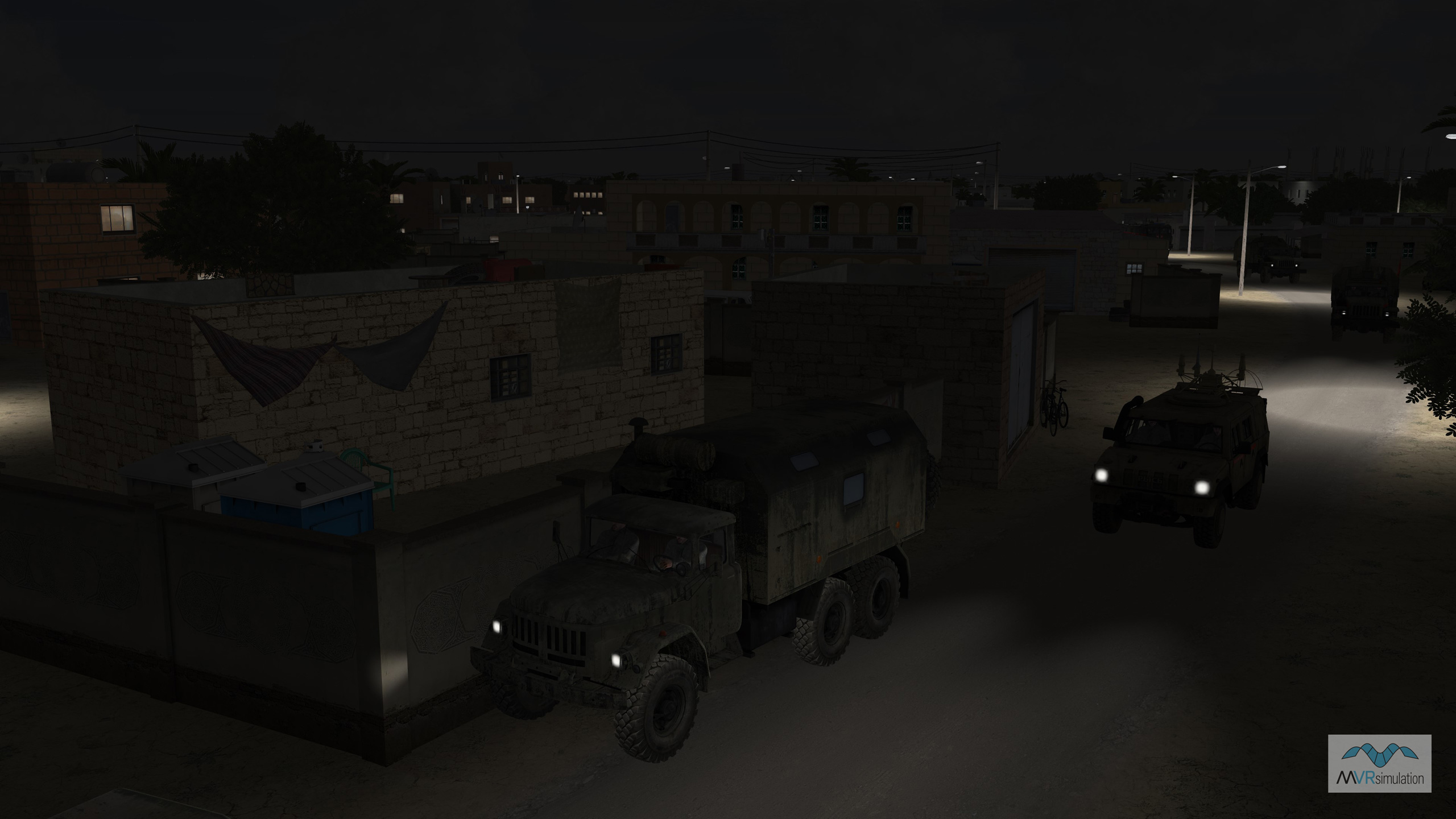
Our Hajin terrain is built from geospecific high-resolution 50cm imagery from Maxar Technologies compiled with underlying SRTM elevation data at a 30-meter elevation post spacing. The source data is blended to underlying 1-2 meter source imagery of all of Syria. This means VRSG simulates the first-person virtual world for all trainees in the scenario from the same terrain – whether they are a JTAC on the ground looking at the horizon, an A-10 acquiring a ground target at 1,400ft, or an MQ-9 RPAS sensor operator performing overwatch at 50,000 ft – enabling all trainees to identify and lock-on to the same 3D target entity for Match Sparkle training exercises.
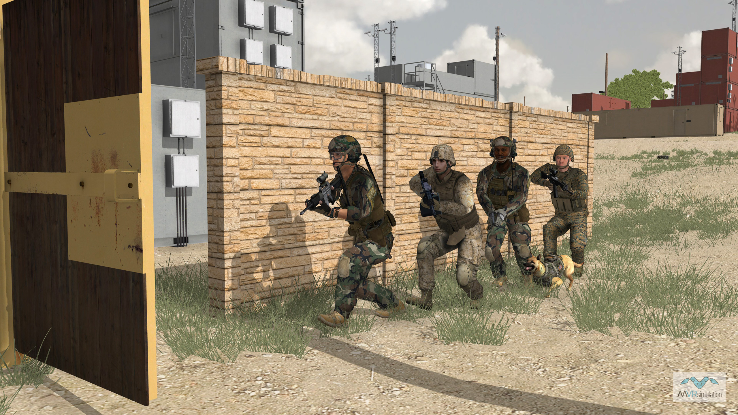
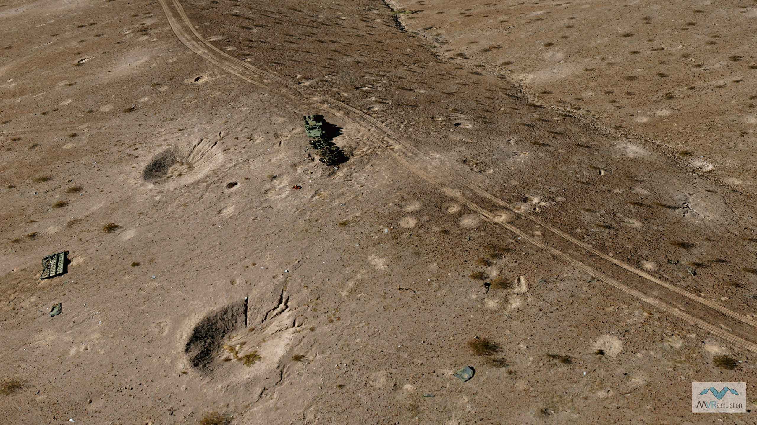
Visitors are able to explore the rich detail of MVRsimulation's virtual MOUT site for the Yuma Proving Ground in Arizona. The virtual MOUT site is built from 30 cm per-pixel imagery and 2 meter per-pixel elevation. 3D culture such as storage containers (many with modeled interiors), fortifications, equipment, and other elements populated the SOTACC Village MOUT site.
Experience the Simulation
- FPV UAV Simulator
The internally-developed simulator combines MVRsimulation’s VRSG with a high-fidelity flight model from Bihrle Applied Research, to replicate the tactile, visual and cognitive demands of operating agile UAVs in combat to successfully defeat enemy targets.
- Deployable Joint Fires Trainer (DJFT)
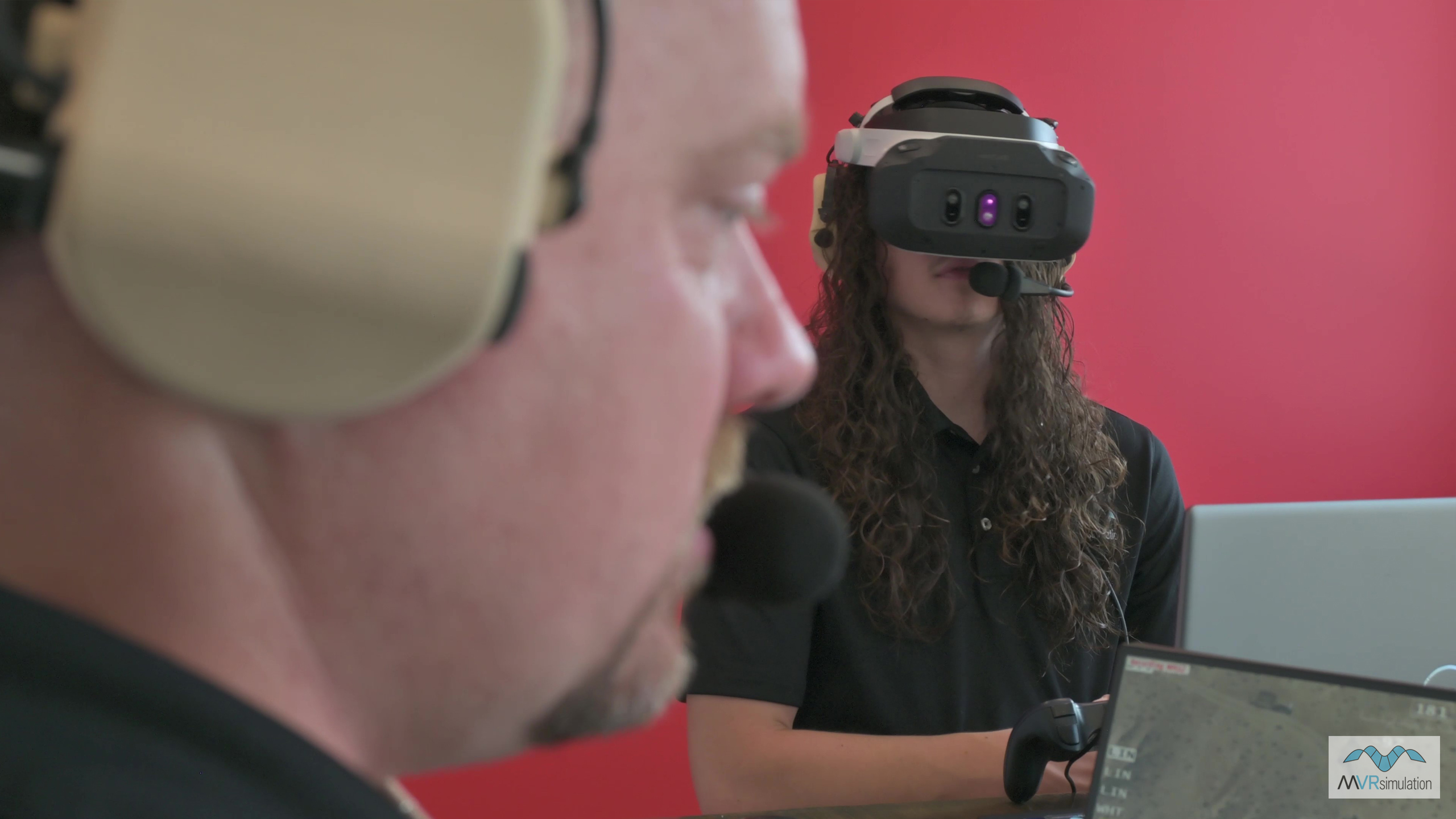
Fully accredited and in use with U.S. military forces, the DJFT is our Joint Fires training flagship product, offering visitors the opportunity to conduct mixed-reality JTAC training scenarios in high-resolution 3D terrain. The system contains all equipment required to run full-spectrum missions, including VRSG, MACE, Varjo HMD, real-world end-user device (EUD) ready for ATAK/WinTAK integration for Link 16 and VMF digitally aided CAS (DACAS), emulated Type 163 and IZLID, and simulated radios and DAGR.
- Portable Joint Fires Trainer (PJFT)
Our newest JTAC training simulator is running full spectrum Joint Fires training missions, networked with the fully-accredited Deployable Joint Fires Trainer (DJFT). Together, this expanded JTAC training ecosystem allows users to train for Joint Fires/Close Air Support missions in from the classroom to the tactical edge. Designed to be easily transportable in two backpacks that can be carried-on as hand luggage and stored in the overhead bin on commercial flights, the PJFT allows users to train in forward locations using real-world ATAK devices.
- Mixed Reality Sand Table
Experience the power of classroom-based mixed-reality JTAC tactics training, mission planning and After Action Review. Plan missions in highly-accurate 3D terrain, observe live JTAC training missions as they unfold in the DJFT and PJFT, then review and enhance learning opportunities for trainees in group settings.
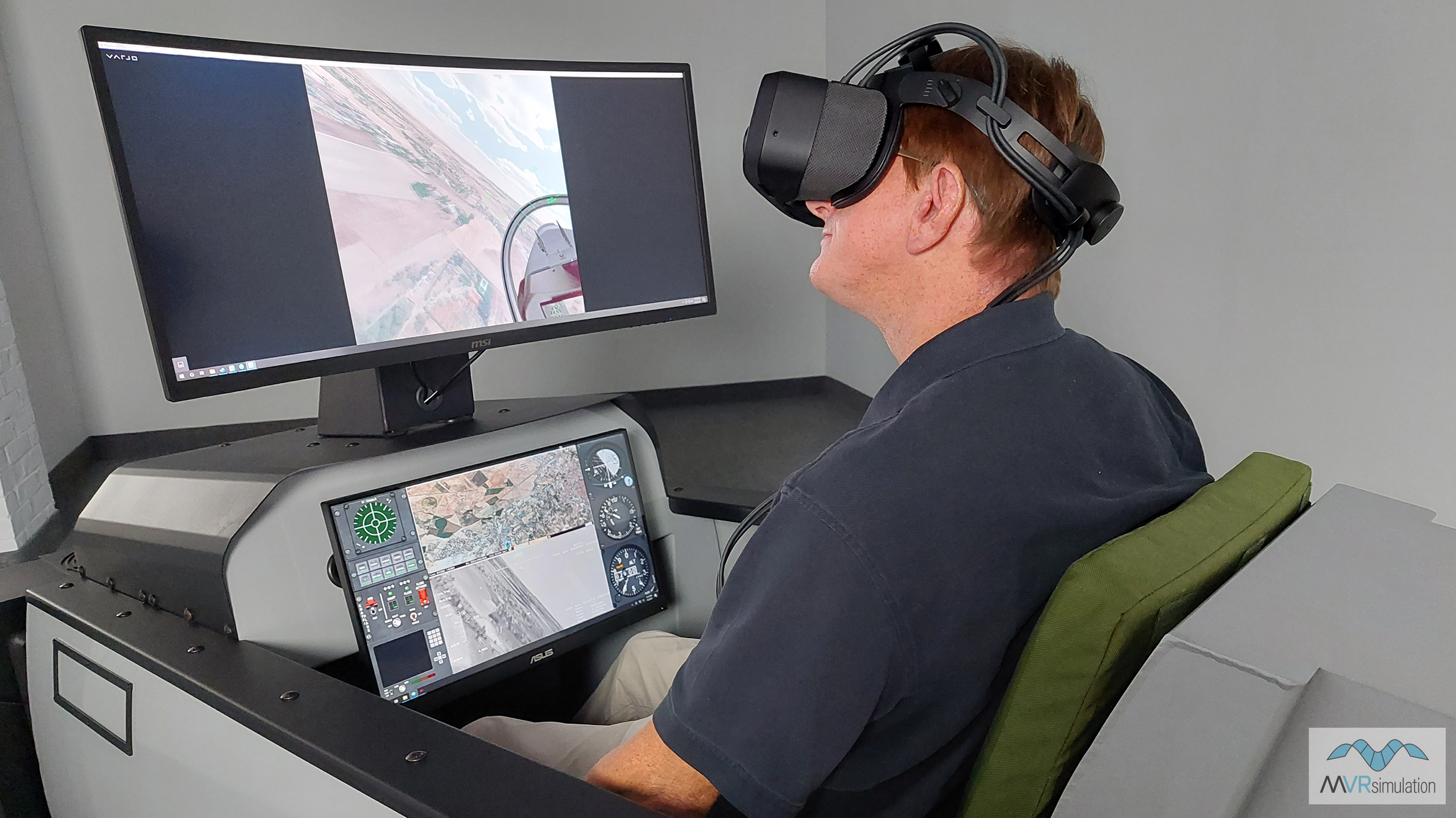
- Fixed-Wing Part Task Mission Trainer (PTMT)
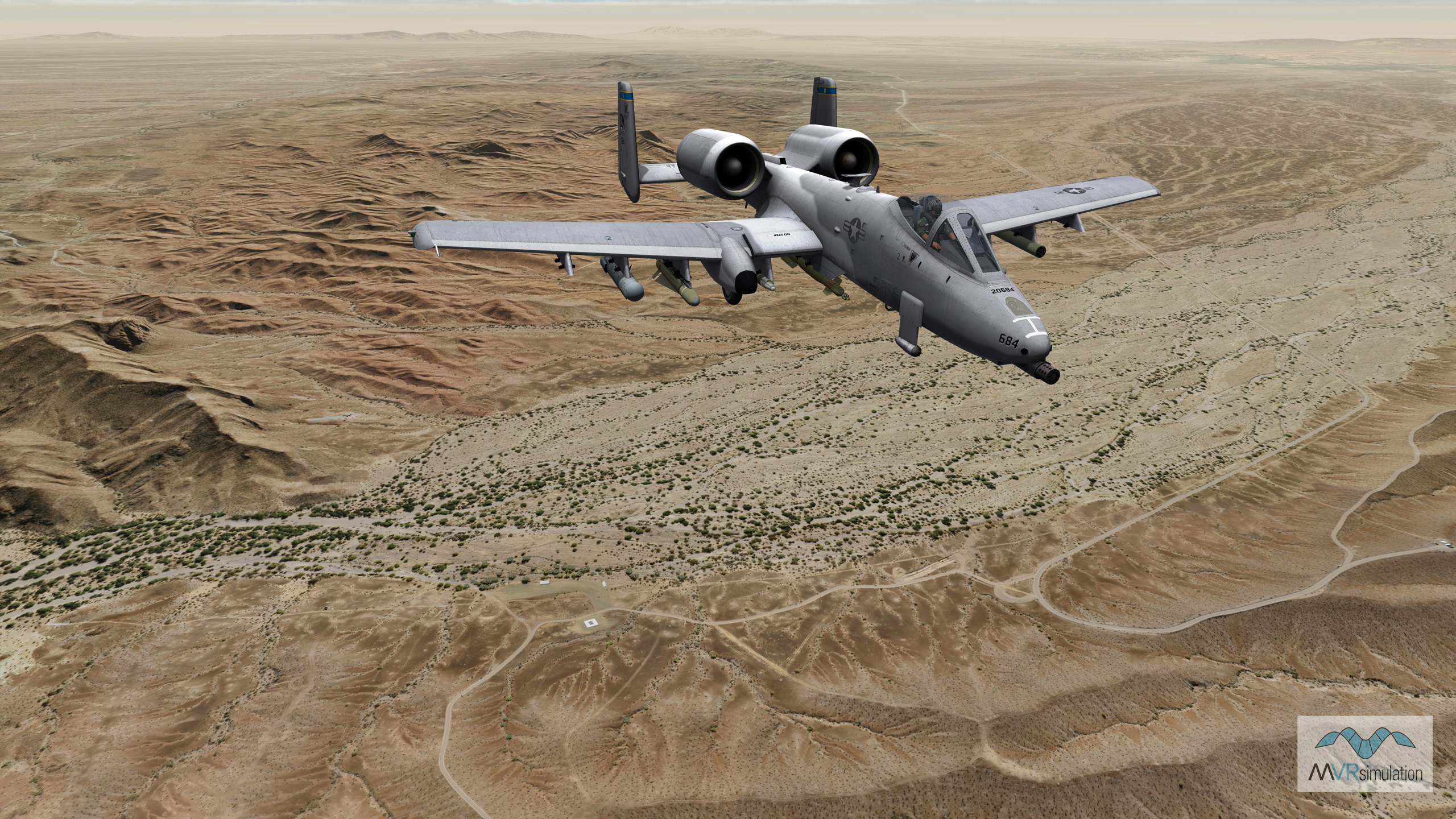
Practice stand-alone mission tactics and coordination, or network-in to Close Air Support training missions running on the DJFT as an additional Role Player. Or simply take a flight over some of VRSG's most beautiful and high-resolution terrains including Japan and Southwest USA CONUS NAIP.
- VRSG, Terrain Tools, Scenario Editor
Our terrain team will be on-hand to demonstrate VRSG's geospecific round-earth terrain, including the newest additions to our database of high-resolution urban insets. We will also be showcasing our latest version of Terrain Tools and newly-updated Scenario Editor.
Schedule a Demo?

